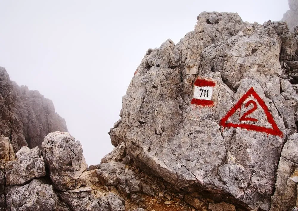
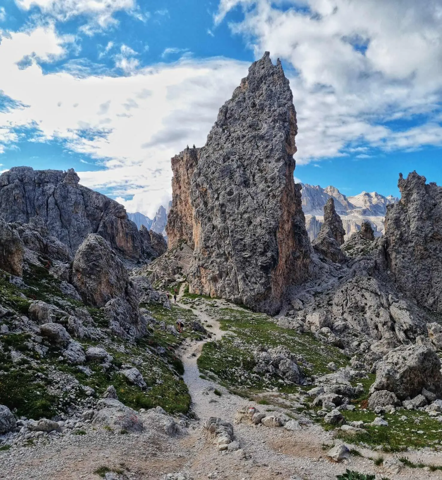
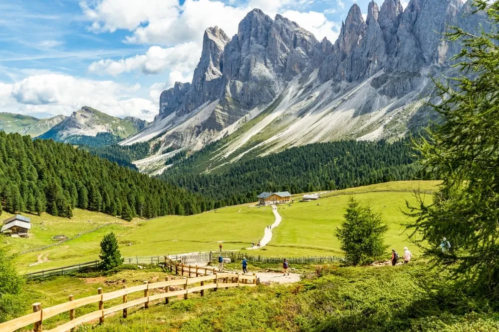
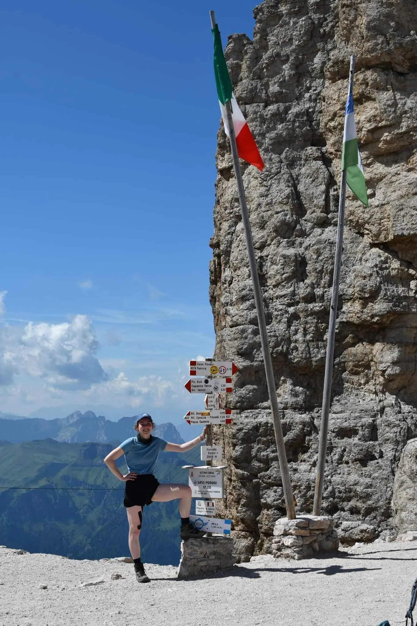
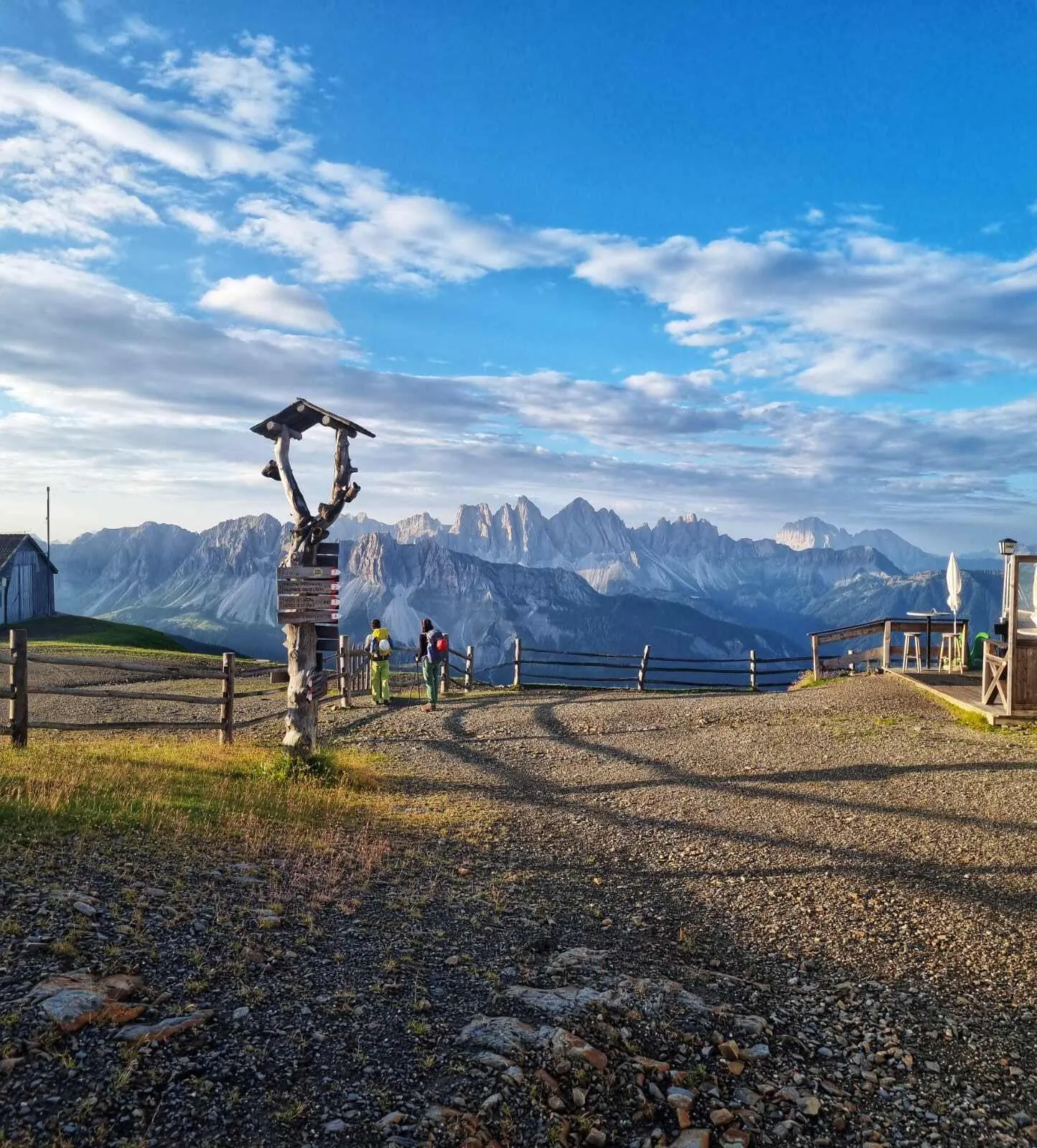
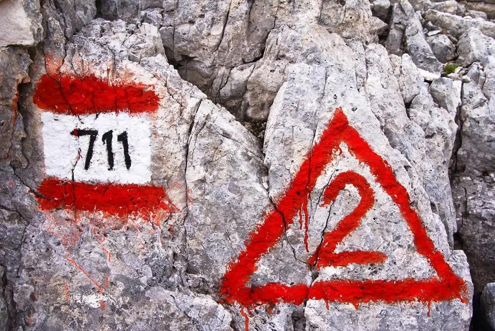
The Alta Via 2 is well waymarked throughout its length. Look for red and white paint flashes on rocks, wooden signposts at junctions, and the distinctive triangle symbol with the number 2 inside it. Not every rifugio sits directly on the main route: some require a short detour of a few hundred metres, and these side paths are usually signed but worth noting in advance.
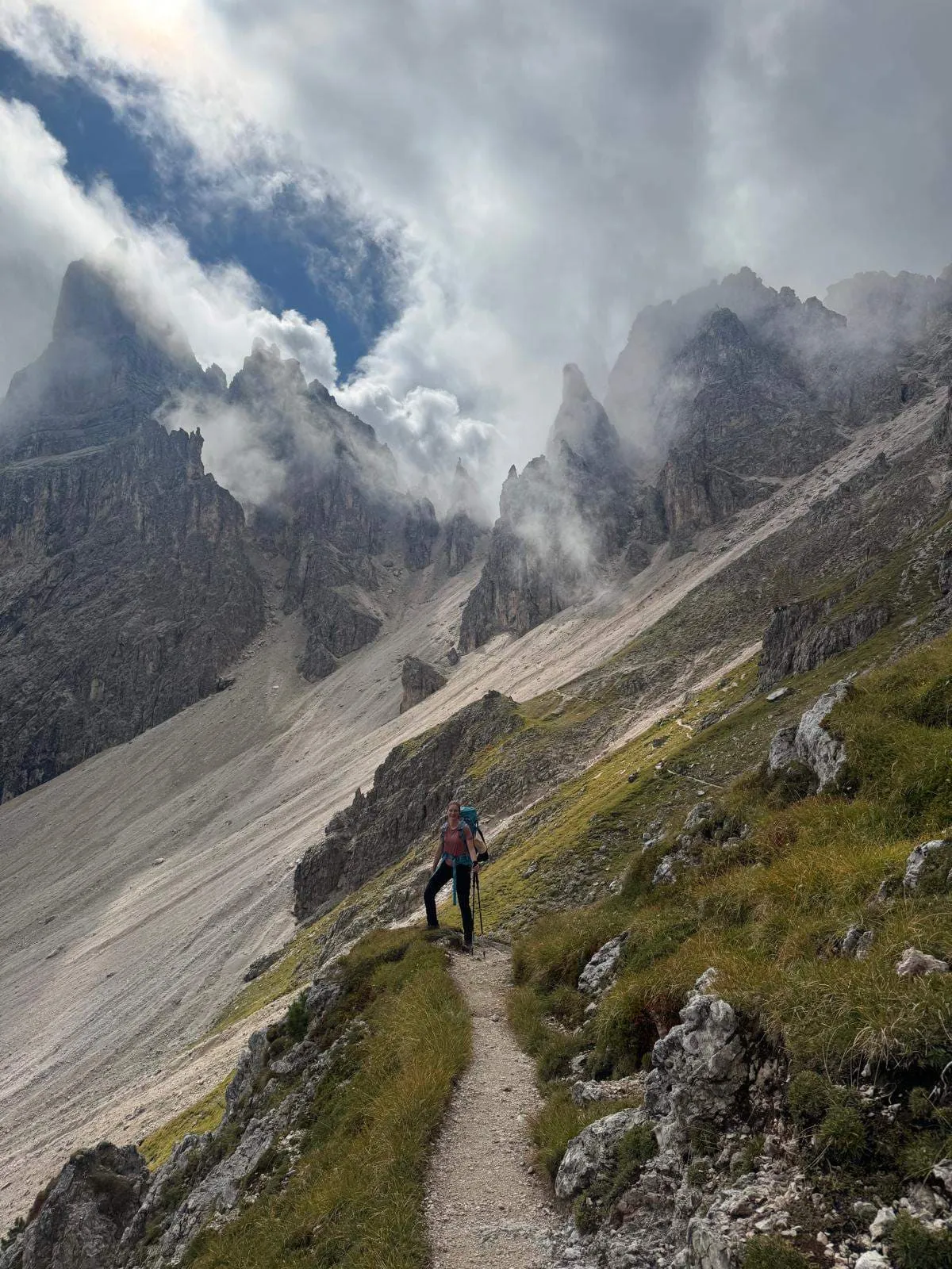
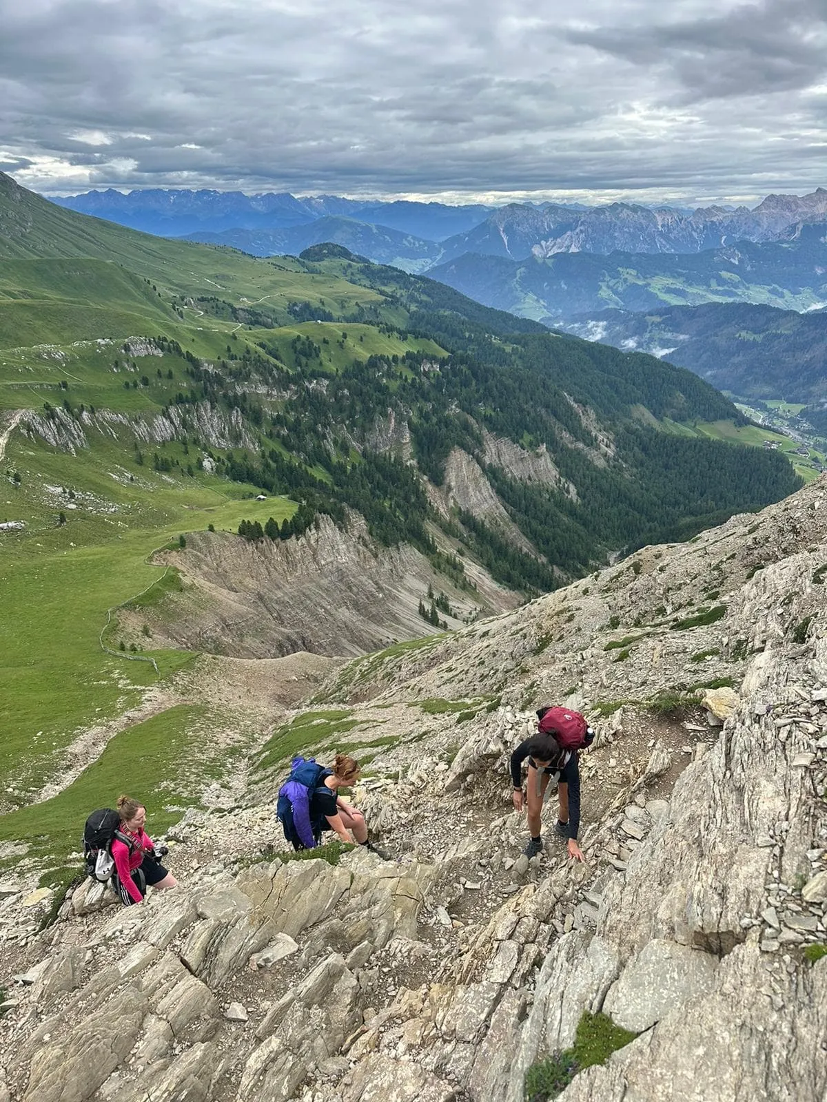
On the exposed sections, particularly the high passes and via ferrata stretches in the Pale di San Martino, good navigation matters. Paint marks can be obscured by weather, and on rocky limestone terrain the trail is not always obvious underfoot. A GPX track loaded onto a device you can use offline is a practical necessity, not a luxury.
When you book with Bookatrekking, the Bookatrekking app provides an offline map with your exact daily route for each stage, turn-by-turn navigation, and a live weather forecast tied to the GPS coordinates of each hut on your itinerary. You can check the forecast for tonight's rifugio before you set off in the morning, which is particularly useful when planning whether to push through an exposed section or adjust your timing around afternoon storm risk. For anyone asking where to find a reliable Alta Via 2 map: the app is the most practical answer, because it works without a mobile signal at altitude.
"For hikers of all levels: definitely worth a solid recommendation. Clear communication at all stages, great routes and a very solid app worth paying for (which is included/free)."
— Jeroen Appel, 5 stars on Trustpilot, August 2026
Frequently asked questions about the Alta Via 2
How long is the Alta Via 2?
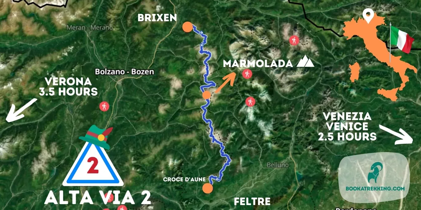
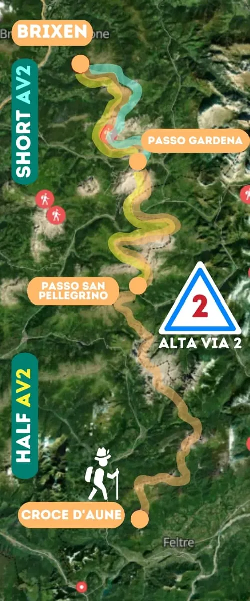
The Alta Via 2 is approximately 160 km long from Bressanone to Croce d'Aune, covered across 12 walking stages. The Bookatrekking full route totals 156.6 km, with individual stages ranging from 6.9 km to 19.2 km. The longest single day is the final stage from Rifugio Bruno Boz to Croce d'Aune.
How many days do you need to complete the Alta Via 2 in the Dolomites?
The full Alta Via 2 takes 12 walking days. Most trekkers travel on the day before the first stage and the day after the last, bringing the total trip to around 14 days. Shorter variants of 3, 5 and 6 days are available if you cannot commit to the full route.
How difficult is the Dolomites Alta Via 2?
The Alta Via 2 is a demanding multi-day trek suited to experienced hikers. It involves 12 consecutive days of mountain walking, daily ascents of 300 to 1,150 m, several exposed ridge traverses, and unavoidable via ferrata sections in the southern half. It is harder than the Alta Via 1 and requires solid fitness and a head for heights.
Which Alta Via is the most difficult?
The Alta Via 2 is widely considered the most demanding of the main Dolomite high routes. It is longer than the Alta Via 1, has more frequent technical sections, and the southern half includes sustained via ferrata terrain that the Alta Via 1 does not match. Among all the numbered Alta Vias, AV2 stands out for its combination of length, exposure and remoteness.
Do you need via ferrata gear on the Alta Via 2?
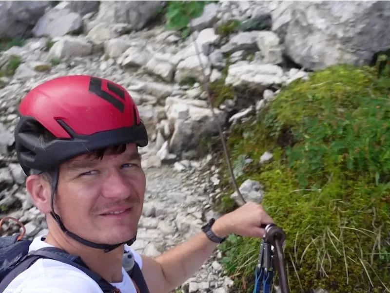
Yes. A via ferrata set (harness, two lanyards with energy-absorbing carabiners and a helmet) is required for the full route, particularly from Stage 7 onwards through the Pale di San Martino. Even on the northern stages, cabled sections appear regularly. Carrying a full via ferrata kit is not optional if you are walking the complete route.
Which is better, Alta Via 1 or 2?
It depends on your experience level. The Alta Via 1 is the better starting point for trekkers new to Dolomite high routes: it is shorter, less technical, and gives you a strong overview of the range's most iconic landscapes. The Alta Via 2 is the better choice if you have already done a multi-day alpine route and want more challenge, more solitude and more diverse terrain.
What is the best Alta Via route?
There is no single best Alta Via: the right route depends on your fitness, experience and goals. The Alta Via 1 is the most popular and most accessible first route. The Alta Via 2 is the most complete and most demanding of the main high routes, covering the greatest variety of Dolomite landscapes from South Tyrol to the Veneto. If you want the definitive Dolomites long-distance experience and have the fitness to match, the Alta Via 2 is the one.
When should you avoid the Dolomites for hiking?
Avoid hiking the Alta Via 2 before late June and after mid-September: most rifugi are closed outside this window and the high passes can retain dangerous snow well into summer. July and August are the busiest months; early July brings the highest risk of afternoon thunderstorms. September offers the most stable weather and the quietest trails.
For the full picture of hut-to-hut hiking in the Dolomites, including route comparisons and inspiration for other multi-day treks in the region, visit our Dolomites hut-to-hut hiking hub.