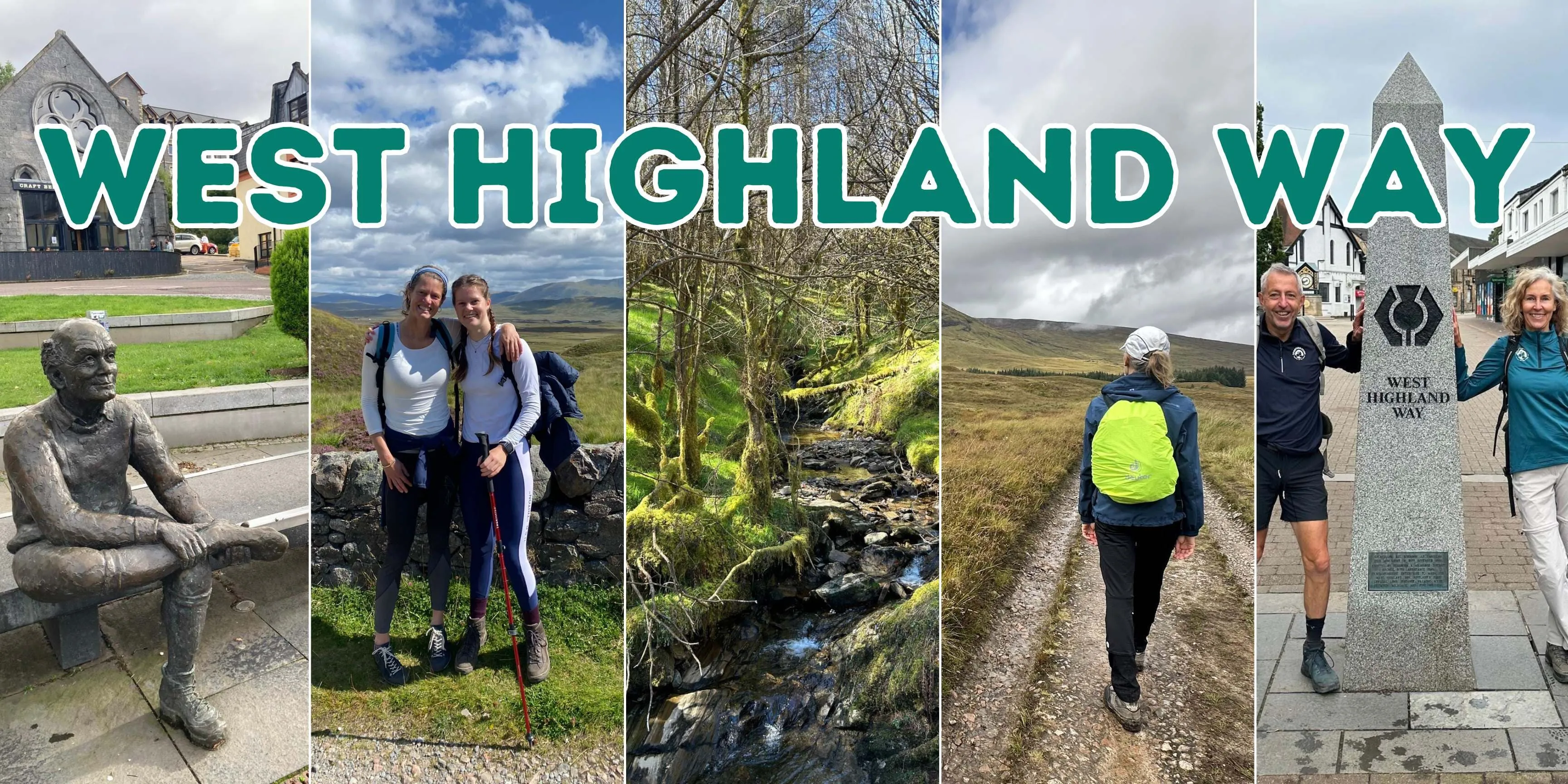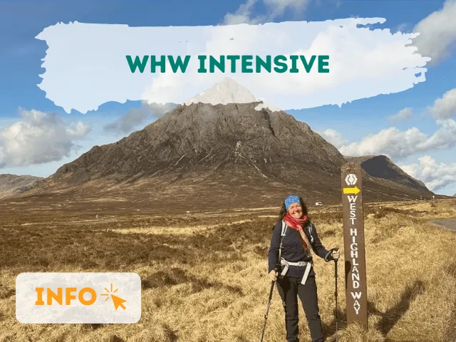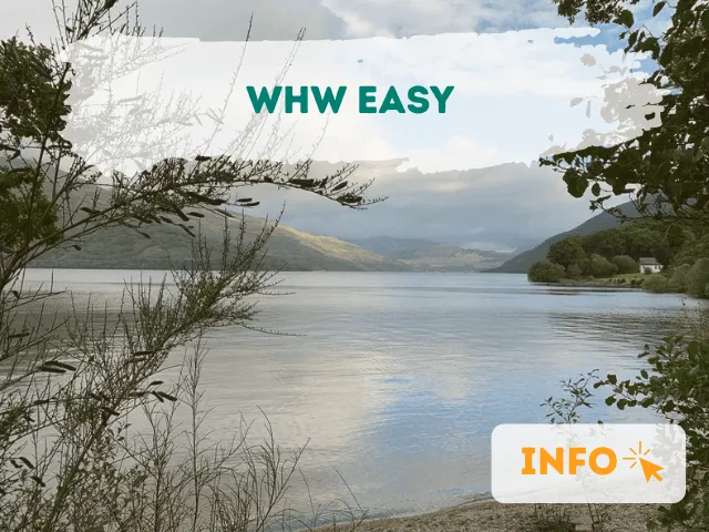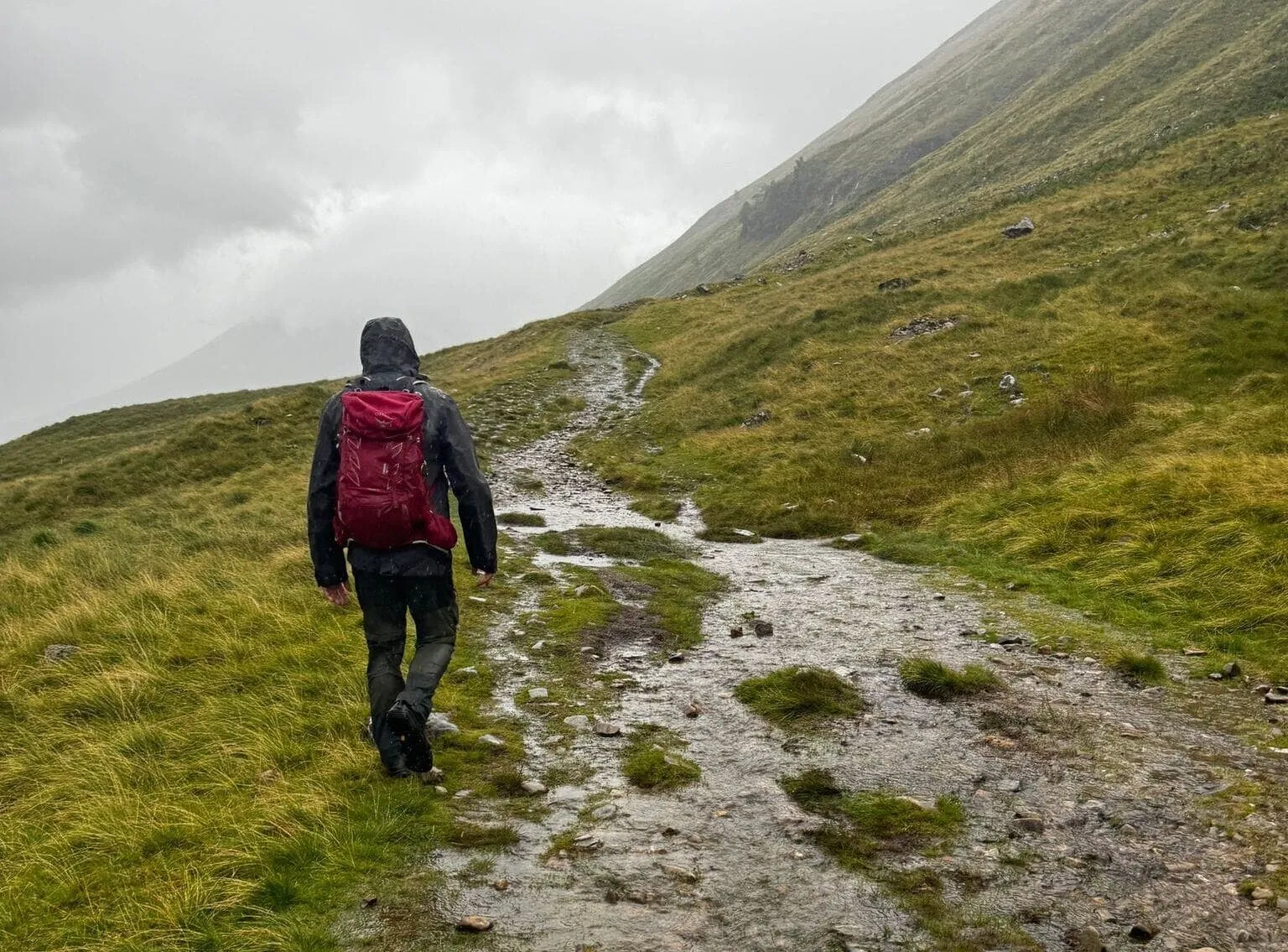
🥾 Walk Scotland’s Most Iconic Trail — Without the Stress of Planning, Even If It’s Your First Long-Distance Hike
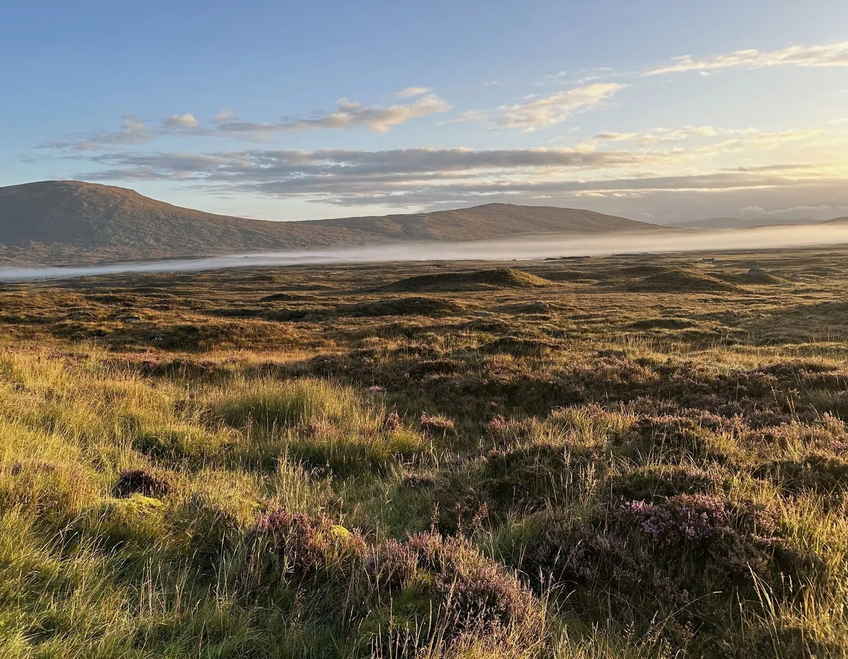
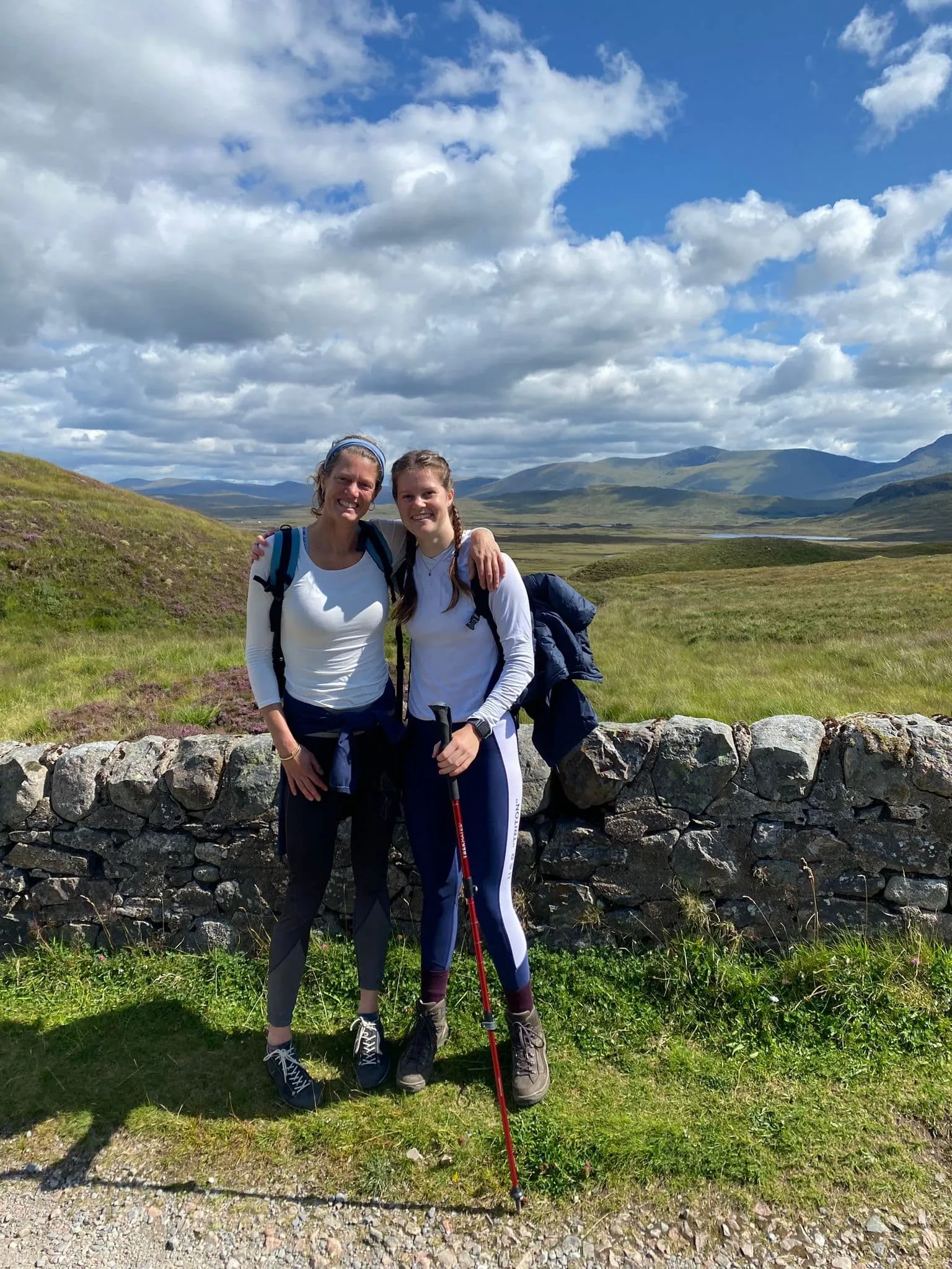
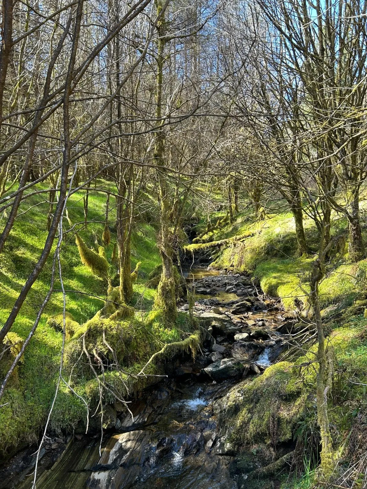
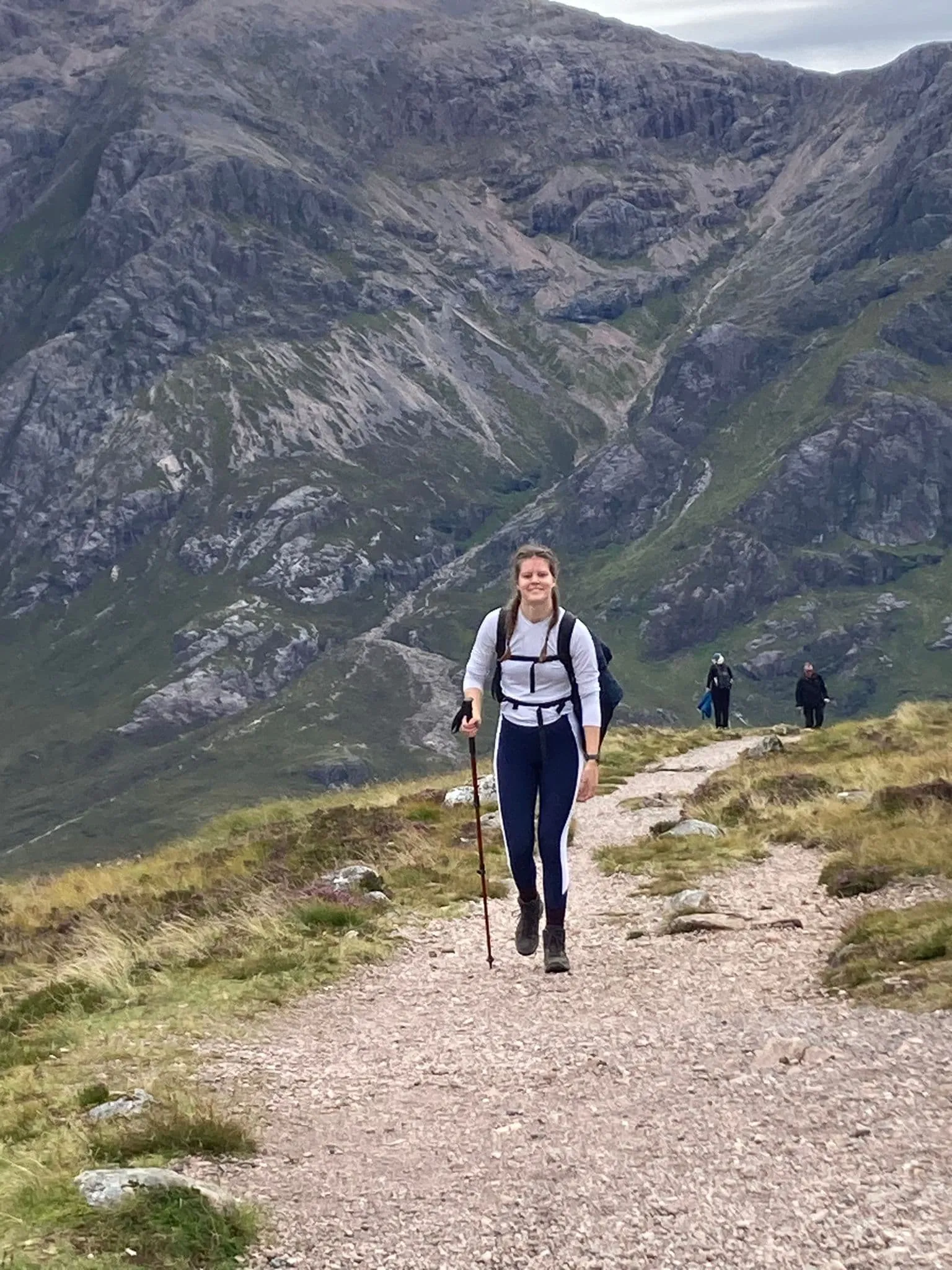
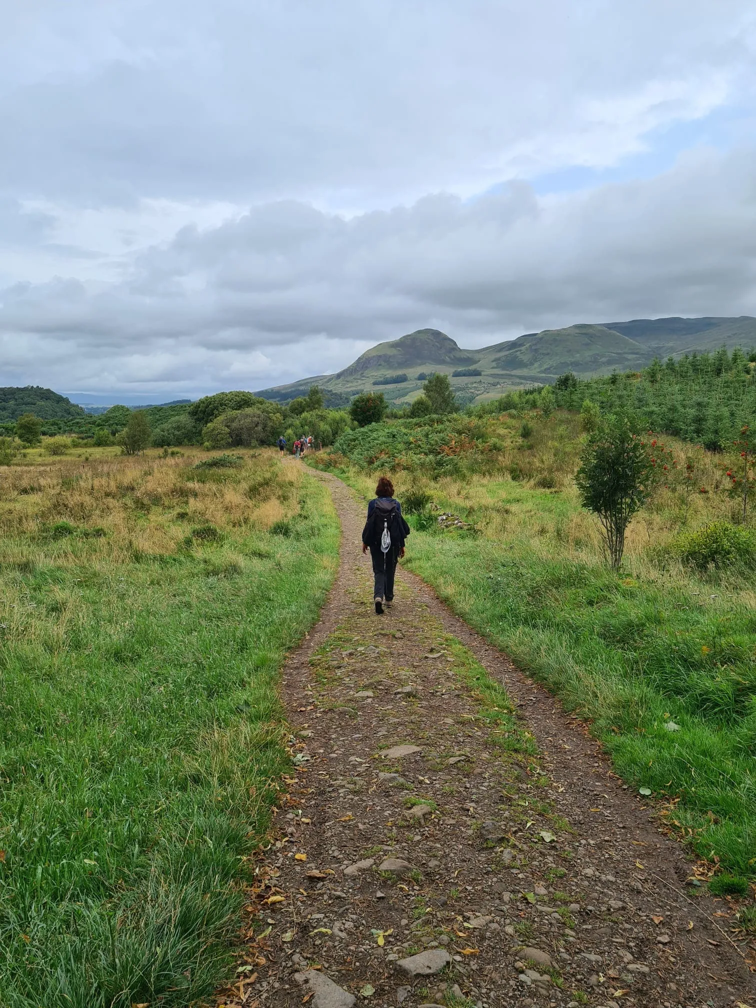
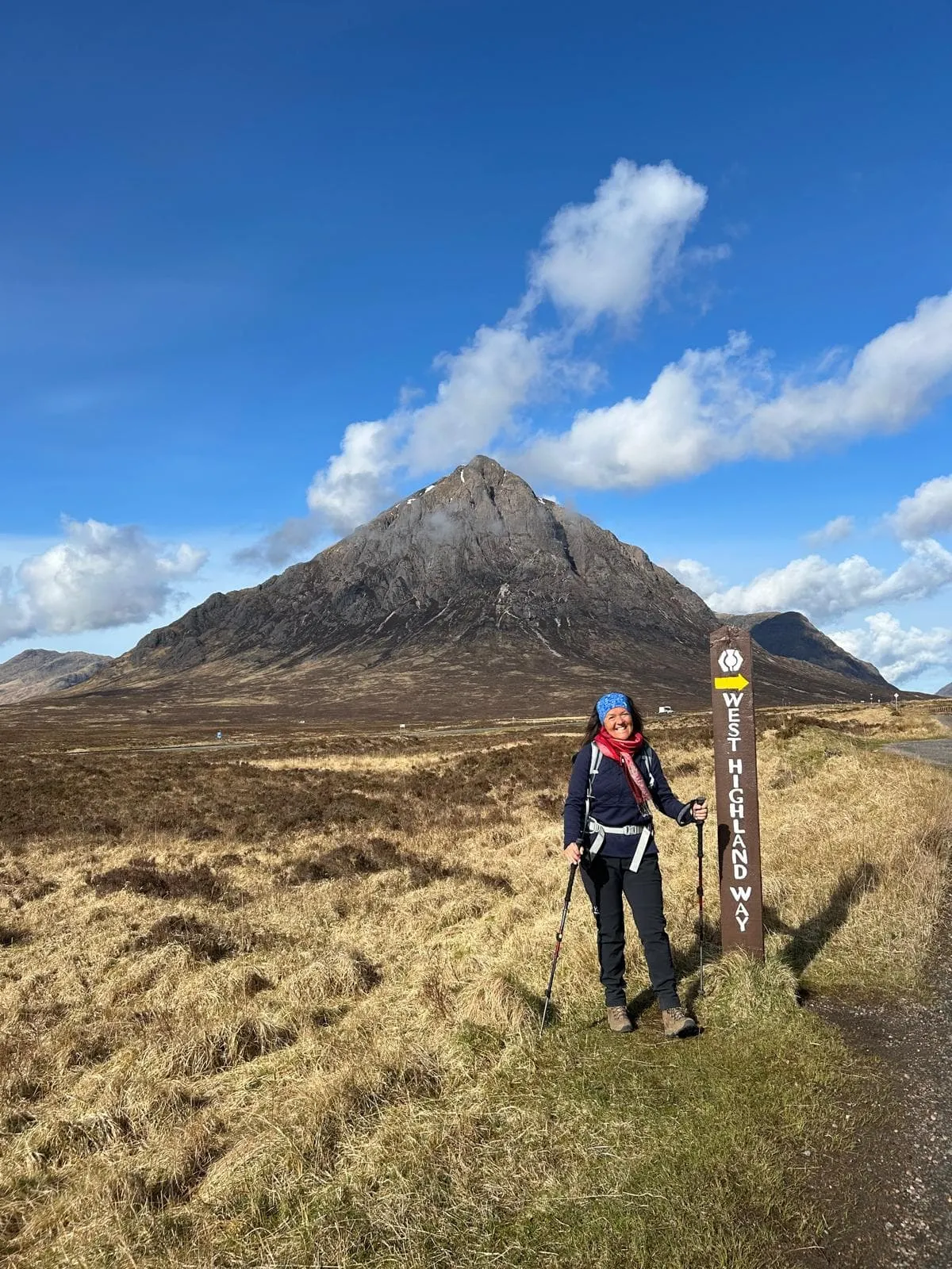
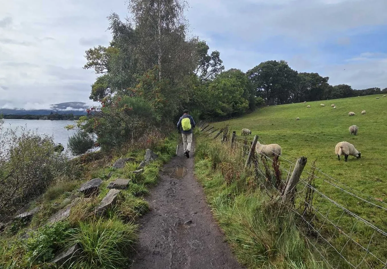
The Scottish Highlands invite you to experience their rugged beauty along the iconic West Highland Way. Stretching from Milngavie to Fort William , this legendary trail leads you through rolling moors, serene lochs, and dramatic glens—offering a true taste of Scotland’s wild soul. Imagine hiking past ancient castles, pausing in quaint villages, and soaking up misty views over vast, untouched landscapes. After a day on the trail, warm up with hearty Scottish dishes like haggis, neeps, and tatties, and toast your adventure with a dram of whisky. With welcoming inns and rich history at every turn, this is Scotland at its finest.
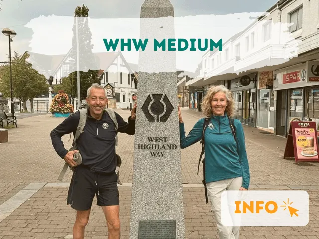
We are Bookatrekking.com, and we will organize your West Highland Way adventure.