Advanced Trekking Aneto

Duration: 3 days
Trails: T3 trails
Distance: 10 - 15 km per day
Ascent per day: 500 - 1000 m ascent per day

> Cross the Pyrenees from Renclusa to Llauset to Senarta
> Sleep in legendary refuges like Renclusa and Llauset
> Trek in the shadow of Aneto, the Pyrenees’ highest peak

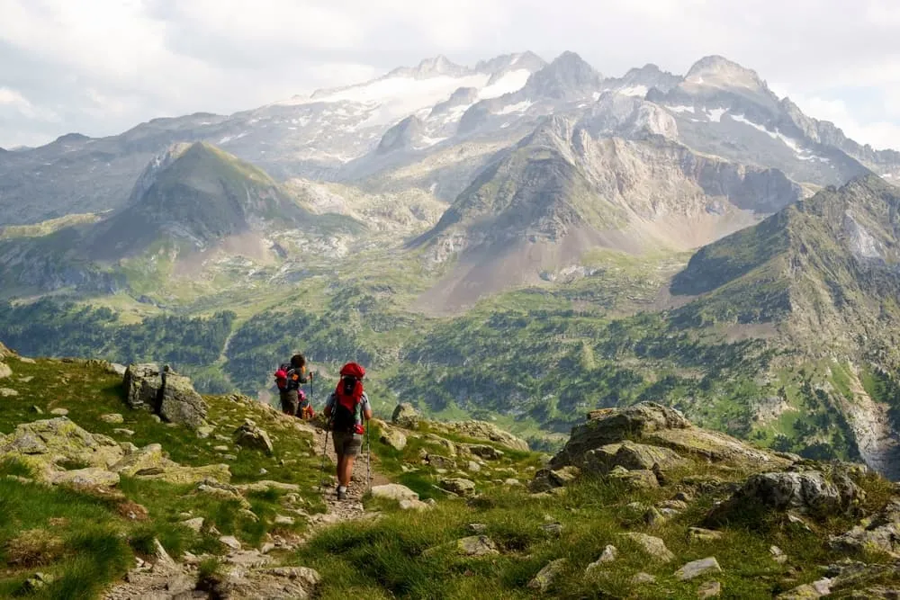
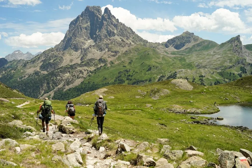
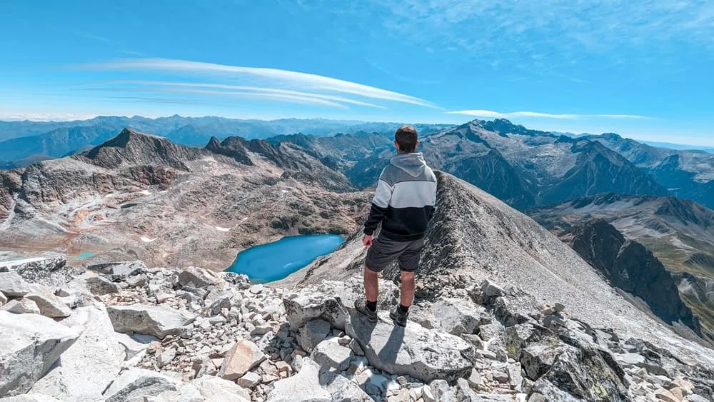
It’s one thing to hike in the Pyrenees. It’s another to throw yourself into the wild core of it. This 3-day Trekking Aneto route is a high-stakes loop through alpine terrain, deep valleys, and glacial lakes for trekkers who like their adventure steep, remote, and real.

You’ll start in Senarta and head straight into the heights, staying at Refugio Renclusa before tackling the technical traverse to Refugio Llauset. On the final day, a long and fast descent brings you full circle. Expect narrow ridgelines, exposed trails, and sections rated hard this is where the Pyrenees bite back.

It’s a trek for experienced hikers with solid legs and stronger nerves. If that sounds like you, this is three days you won’t forget.

Itinerary

Day
1

Senarta Plan - Renclusa Refuge

Duration: 04:45 h
Distance: 12.8 km
Ascent: 890 m
Descent: 140 m

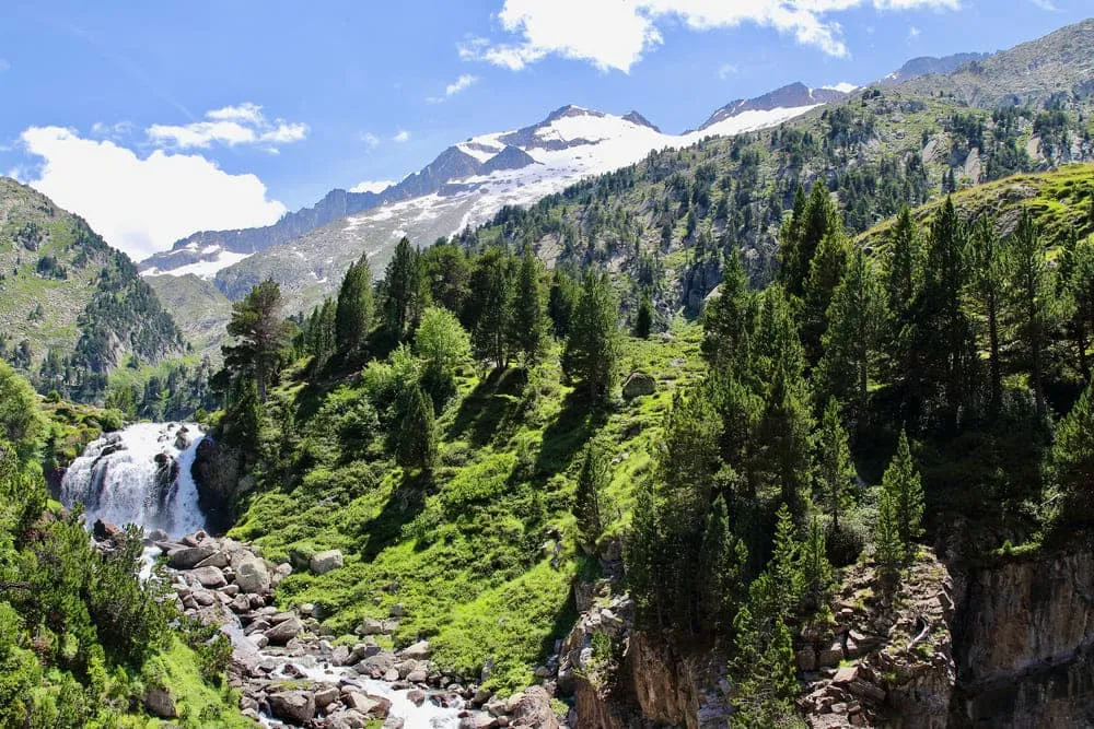
The route begins in the forested valley near Plan de Senarta, around 1,350 m, and climbs steadily into high mountain terrain. Following the torrent, the landscape changes from pine woods to open alpine slopes with ever-wider views towards Pico de Paderna at 2,622 m and Tuca Blanca de Paderna at 2,847 m. The stage is consistently uphill, gaining roughly 900 m of elevation and giving an early taste of the rugged scenery surrounding the Maladeta massif.

The path first follows tracks and clear trails beside the Barranco de Alba, with the rocky summit of Turonet d’Alba at 2,002 m rising above the valley. Higher up, the route leaves the wider track to take a steeper mountain path that zigzags through meadows and boulder fields. As height is gained, the panorama opens towards Corona de Remuñe at 1,869 m and the distant glaciers on Aneto at 3,404 m.

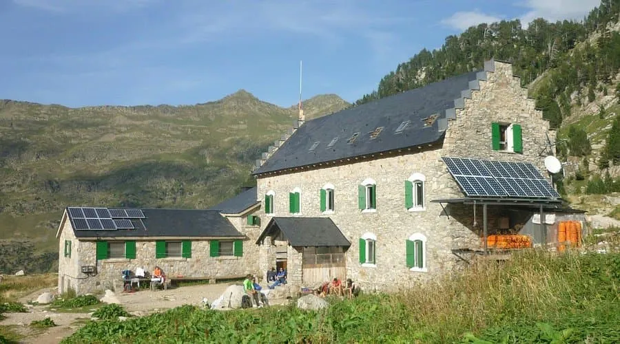
The final climb traverses a stony spur before the white building of the refuge appears, perched on a balcony at about 2,140 m. A short traverse leads to the terrace, where the views over the Benasque valley and surrounding peaks reward the effort. Inside, the hut offers bunks, hot meals and a convivial atmosphere, making it an ideal base for the following high-mountain stages.

Refugio de la Renclusa

Info
Refugio de la Renclusa
Day
2

Renclusa Refuge - Llauset Refuge

Duration: 06:30 h
Distance: 11.6 km
Ascent: 1040 m
Descent: 770 m

This high-level crossing links two alpine refuges over rough, remote ground. From around 2,140 m the itinerary climbs towards the ridges above the hut, reaching over 3,000 m in its highest sections before dropping again to the basin of the Llauset lakes at roughly 2,425 m. With about 1,040 m of ascent and 770 m of descent, it is a demanding day in serious terrain, rewarded by continuous views of the Maladeta and Barrancs groups.

From the hut the trail climbs steeply on cairned paths towards the slopes of Tuca de la Renclusa at 2,750 m, weaving between rocks and small tarns. Once on the upper benches, the route continues beneath the serrated crest that includes Tuca de Barrancs at 2,889 m and the distant Pico Maldito at 3,354 m. The path can be faint and crosses boulder fields where progress is slower and careful footwork is essential.

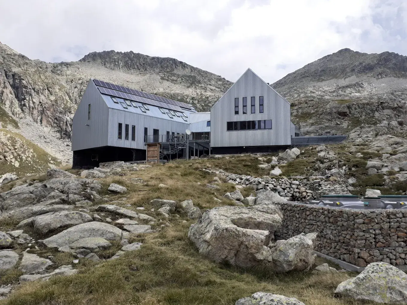
The traverse then turns south towards the high plateau dotted with the Ibones de Anglios, shimmering around 2,450 m. After skirting these lakes, a final undulating section leads to the outlet of the Estany de Llauset at about 2,200 m, with Cap de Llauset rising above at 2,869 m. A short, steep climb on a good path brings the day to an end at the modern lakeside refuge, well equipped for a restorative evening.

Refugio de Cap de Llauset

Info
Refugio de Cap de Llauset
Day
3

Llauset Refuge - Senarta Plan

Duration: 05:45 h
Distance: 14.6 km
Ascent: 330 m
Descent: 1370 m

The last section completes the circuit with a long descent from the high basin of Llauset back to the forests of the Benasque valley. Starting near 2,425 m, the trail first gains a modest 330 m before losing around 1,370 m to reach the valley floor at roughly 1,350 m. The scenery changes from stark, rocky peaks around Cap de Llauset at 2,869 m to grassy slopes, mixed woodland and finally the riverside tracks of the lower Ésera.

From the refuge, the route briefly climbs towards the shoulder below Tuca de Anglios at 2,813 m, contouring above the deep blue Estany de Llauset at about 2,200 m. It then swings west into a long valley, descending on a mountain path that alternates between grassy terraces and rocky steps. Peaks such as Pico de Cregüeña at 2,949 m and Tuca dels Ixfarts at 2,952 m line the horizon while small streams and tarns accompany the descent.

Lower down, the path softens into forest tracks and easier trails beside the river, passing occasional clearings with views back to the high summits. The final kilometres are almost level as they approach the open meadows and facilities of Plan de Senarta. Accommodation is reached on wide tracks, offering a gentle finish and convenient access to transport, campsites or nearby lodgings for a comfortable night after the trek.

FAQ

  • How to get to and from your trek in Senarta Plan

  • What if the dates I want are not available?

  • If I book now, can I immediately arrange the rest of my trip?

  • How do I know if this trek is right for me?

How to Book

  • Booking

  • Availability

  • Cancellation policy