Advanced Trekking Luchon

Duration: 4 days
Trails: T2 trails
Distance: 10 - 15 km per day
Ascent per day: 500 - 1000 m ascent per day

> Climb from valley forests into a chain of high glacial lakes
> Cross wild mountain shelves between Maupas and Vénasque
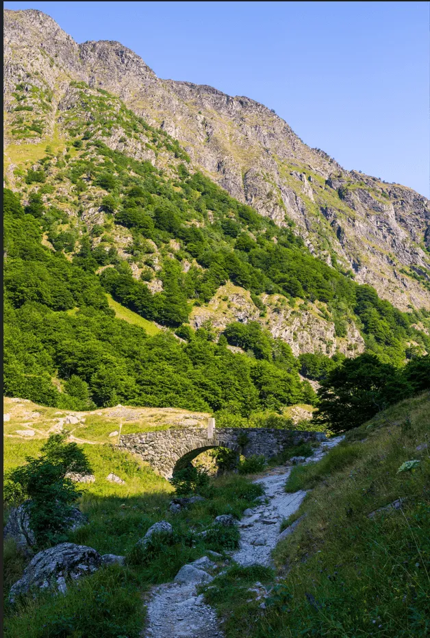
> Finish among the green meadows of Artiga de Lin after days in rugged terrain

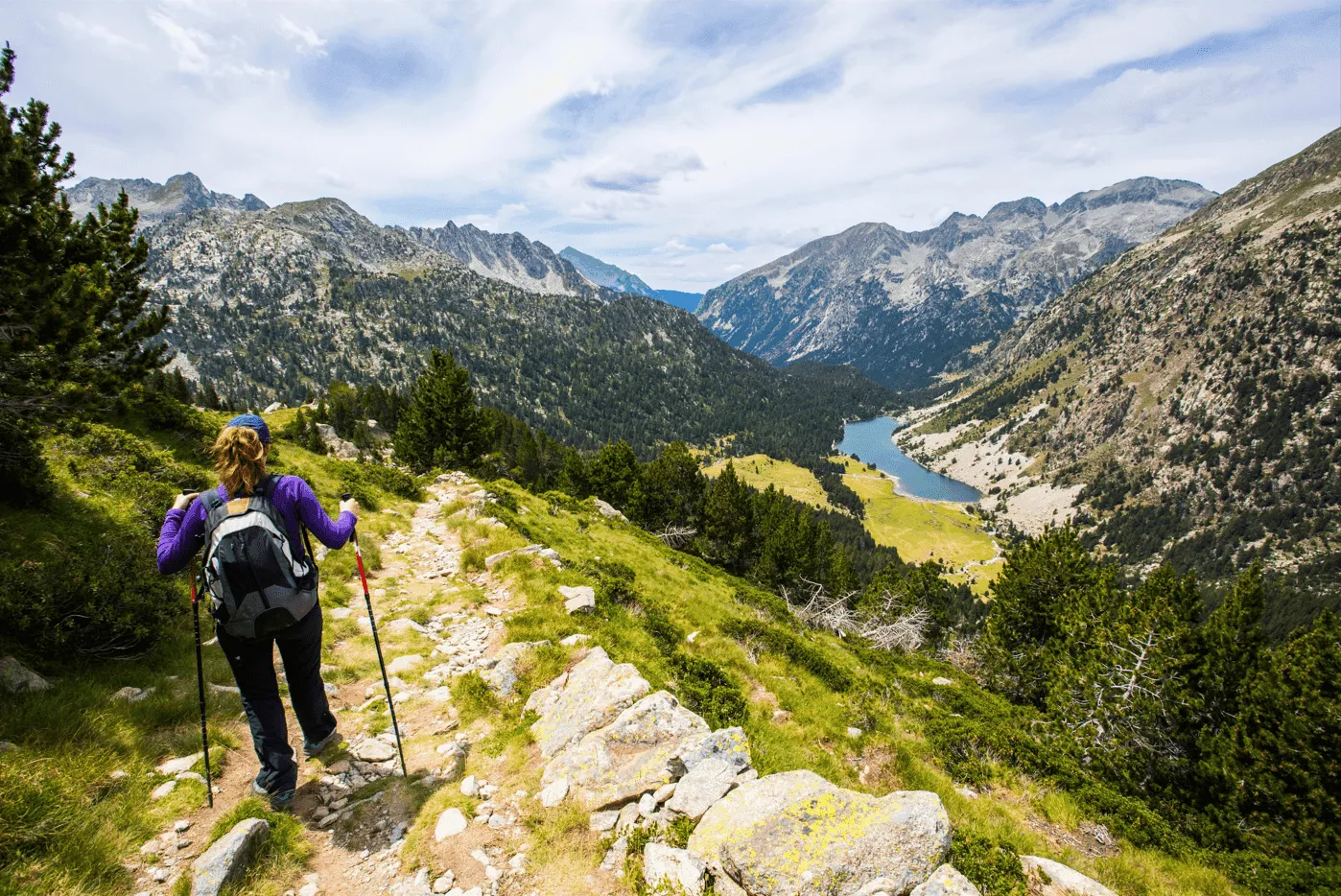
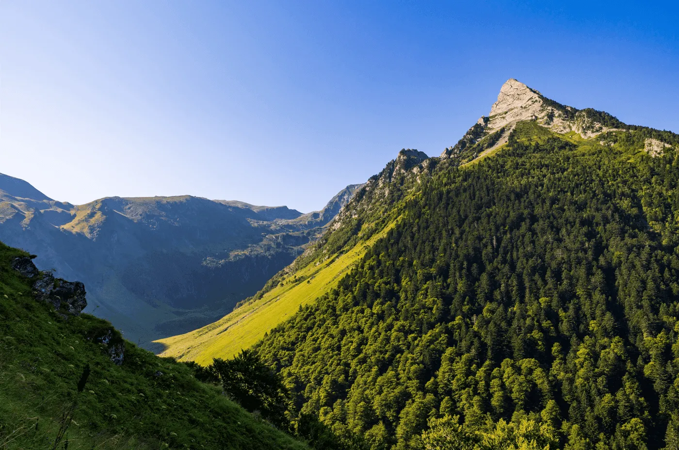
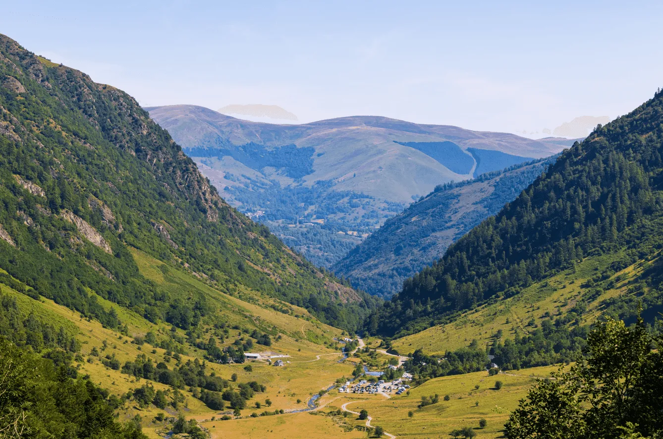
There is a moment early in the trek, just above the first basin, when the view suddenly expands and reveals the entire upper cirque below Maupas: dark water, steep faces and a maze of granite slabs. From here on, the scenery keeps shifting. The high traverse toward Vénasque brings long contours above deep blue lakes, sharp ridges on the skyline, and wide views into both France and Spain. Later, the landscape softens as the descent enters the forests and pastures of Artiga de Lin, where clear streams and open meadows replace the rock and scree of the previous days.

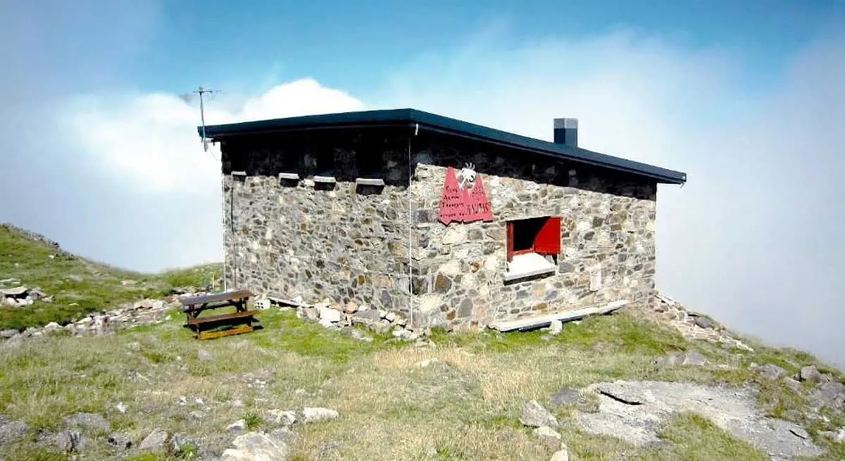
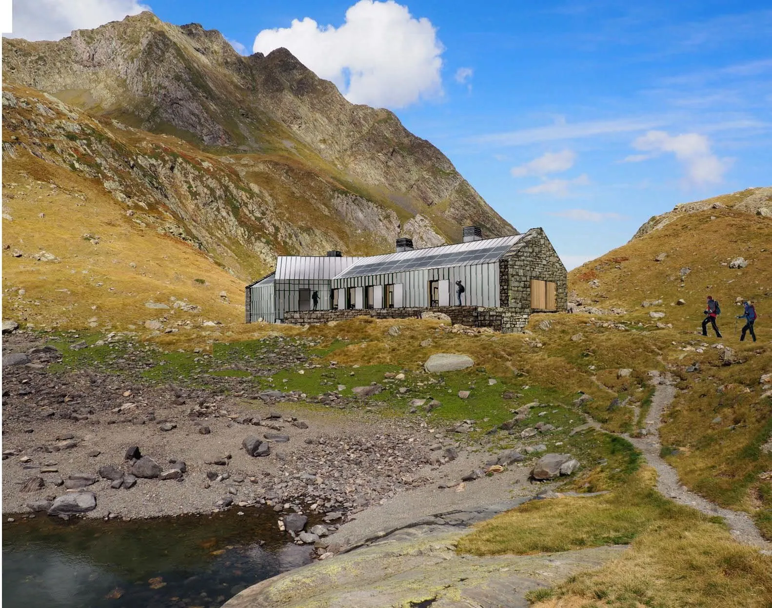
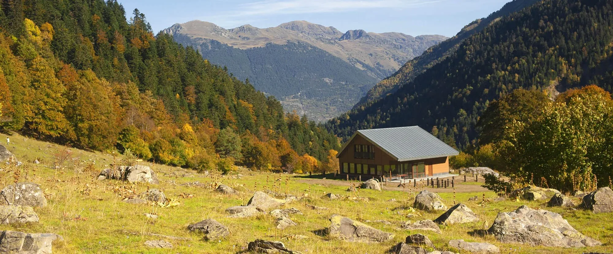
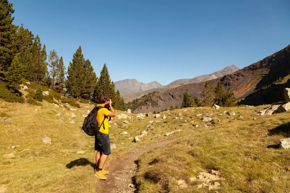
Across four demanding stages, the route links the upper Lys valley with the elevated plateau beneath the Boum de Vénasque before dropping into one of the most sheltered valleys of the Arán region. Nights are spent in remote Pyrenean refuges, each placed in its own dramatic setting. With steep ascents, varied terrain and unforgettable viewpoints, this trek delivers a powerful sense of progression — from deep mountain cirques to open Spanish valleys — making it an exceptional choice for hikers seeking a tougher, more adventurous multi-day experience.

Itinerary

Day
1

Bus Stop Vado–Hospital - Refuge du Maupas

Duration: 05:09 h
Distance: 9.12 km
Ascent: 1080 m
Descent: 430 m

The route begins at the Vado–Hospital bus stop, where a paved track leads into open ground at the head of the valley. The path follows a steady line, moving away from the buildings and into an area of scattered grass and low vegetation. As you progress, the terrain begins to rise and the surroundings become increasingly rocky, with the valley narrowing between higher slopes on both sides.

Further along, the trail approaches the basin containing Lac d’Enfer. From the path, the lake is visible below steep rock faces, with a shoreline made up of boulders and broken granite. The route stays above the water and continues across uneven ground shaped by glacial erosion. The ascent becomes more noticeable here, with several sections of zigzags used to gain height.

After passing this first lake, the trail continues through a series of high mountain shelves that hold several other lakes, including Lac Bleu, Lac Charles, and Lac Célinda. Each one lies in a rocky depression surrounded by slabs, scree, and sparse patches of grass. The trail remains clear but crosses rougher terrain, often moving between rock outcrops and small tarns. Elevation changes are steady and frequent.

In the final part of the stage, the terrain becomes wider and more open, consisting mainly of bare rock and loose scree. The path follows a traversing line beneath the ridge until it reaches the flatter area where the Refuge du Maupas is located. The refuge stands on a rocky platform, with surrounding slopes and basins visible from the approach. The route ends at the entrance of the refuge.

Refuge du Maupas

Info
Refuge du Maupas
Refuge du Maupas
Day
2

Refuge du Maupas - Refuge de Vénasque

Duration: 08:00 h
Distance: 15.2 km
Ascent: 1130 m
Descent: 1310 m

From Refuge du Maupas, the stage begins on a clear mountain path that leaves the hut on a rocky terrace and traverses the slope above the cirque. The route follows a balcony-like line across broken granite and short grassy patches, keeping a fairly even height at first. Looking back, the basin around the hut remains visible, while ahead the path bends gradually toward a gentler shoulder. Here the terrain becomes a mix of small hollows, scattered boulders and narrow terraces before the trail starts to drop more clearly toward the first lakes.

The descent leads into a wide hanging valley with several bodies of water. The trail approaches Lac Vert from above and then runs close to its shoreline, following the long, shallow edge of the lake. This section is mainly on grass and compact earth, with occasional rocky steps. After Lac Vert, the route continues across undulating ground, passing near smaller pools and marshy patches and then heading toward the more compact basin of Lac des Grauès. The path remains easy to follow but crosses a mix of grassy slopes, low rock bands and short, steeper steps.

Beyond this area the character of the stage changes again as the trail climbs toward the Plateau de la Montagnette. A series of bends and zigzags take you up through steeper ground with heather, rocks and outcrops, gaining height steadily above the valley. Once on the plateau, the route levels out and follows a broad line beside Lac de la Montagnette. Here the ground is mostly open, with short alpine grass and scattered stones, and the way forward is clear. The plateau gives a good overview of the surrounding ridges and of the valley you have just crossed.

In the final part of the stage, the path traverses toward the basin of Boum de Venasque. The trail runs above the large main lake on stable, stony ground, then curves around a series of smaller tarns and shallow depressions. The surroundings are mostly bare rock with isolated grassy patches. A short, straightforward approach on this higher shelf leads directly to the Vénasque Refuge, which stands close to a group of small lakes on a flat area above the main basin, marking the end of the stage.

Refuge de Vénasque

Info
 Refuge de Vénasque
Refuge de Vénasque
Day
3

Refuge de Vénasque - Refugio Artiga de Lin

Duration: 04:00 h
Distance: 8.76 km
Ascent: 410 m
Descent: 1180 m

From Refuge de Vénasque, the route begins with a gentle descent across the open terrain surrounding the small mountain lakes beside the hut. The trail follows a clear line between patches of grass and scattered rocks as it moves away from the flat area around the refuge. Shortly after, the path narrows and runs high above Boum de Venasque, with the lake lying well below. The slopes here are a mix of broken stone and steep grassy sections, and the trail winds carefully along the mountainside while gradually losing elevation.

Further on, the route enters a noticeably steeper section marked by a series of short switchbacks. This part crosses rougher ground with larger rock blocks and a firmer, more uneven surface. The trail remains well defined, but attention is needed as you descend. Once past this steeper zone, the landscape opens up again, revealing the broad valley below. The vegetation becomes greener, and small shrubs and isolated trees appear as you transition into a lower elevation band.

As the trail continues, it settles into a long traverse across the upper section of the valley. Here you walk over a mixture of grassy slopes and rocky stretches, with the path gradually angling toward the forest. The surroundings shift noticeably when the first dense groups of trees come into view. The terrain softens underfoot, and the incline becomes more moderate.

The final part of the stage leads through a compact, shaded forest. The trail curves gently between the trees, following a natural descent toward the valley floor. Occasional openings in the canopy provide brief views of the open meadows near Artiga de Lin. Eventually, the path emerges from the forest and reaches the wide grassy clearing surrounding Refugio Artiga de Lin, marking the end of the stage.

Refugio Artiga de Lin

Info
Refugio Artiga de Lin
Day
4

Artiga de Lin Refuge - Bus stop Vado-Hospital

Duration: 06:16 h
Distance: 13.7 km
Ascent: 1050 m
Descent: 750 m

The route begins at Refugio Artiga de Lin and follows the access track across the open meadow surrounding the building. The trail heads toward the forest edge, staying on a clear gravel path before turning onto a narrower footpath that enters the trees. As soon as the route enters the forest, the environment becomes noticeably shaded, with dense vegetation on both sides of the path. The trail descends gradually here, following a natural line through the woodland while maintaining a consistent direction.

After leaving the thicker trees, the landscape opens up into a long, shallow valley. The ground is a mixture of grass, scattered rocks and low shrubs. The route stays on a steady traverse above the valley floor, crossing gentle slopes and small drainage channels. This section offers continuous forward visibility, with the path running in a straight line for extended stretches before shifting direction slightly as it approaches a broader plateau.

Further along, the trail reaches an area where the valley widens and the terrain becomes flatter. Small ponds, marshy patches and braided water channels appear in the central part of the basin. The path remains well-defined along the right-hand side, avoiding the wet ground and continuing across firmer terrain. Occasional clusters of trees and rocky outcrops break up the otherwise open landscape.

Past the plateau, the route steadily approaches the transition zone toward Vado-Hospital. The terrain becomes rockier again, with the path running above a series of small ridges and slopes. The trail stays clear while it crosses these sections, alternating between short rises and level traverses. As you draw closer to the end of the stage, the valley narrows slightly and the track begins a final, gentle descent.

In the last stretch, the route joins a wider gravel road that leads directly back to the Vado-Hospital area. The surroundings here are more open, with grass fields and scattered trees flanking the road. The trail follows this access road until it reaches the bus stop, which marks the end point of the trek.

Included

  • Full travel guide

    You’ll receive access to our trekking app, which serves as your complete digital travel guide for the Posets-Maladeta Tour. Inside, you’ll find everything you need for your trek: route descriptions, hiking maps, navigation support, payment information, and all the key details specific to your journey.

  • Accommodation

    During your Posets-Maladeta Tour, you will spend your nights in mountain huts. In the mountain huts we normally only book dormitories, but we can look into private rooms on request. If the private rooms are fully booked or not available in the hut, we automatically book a bed in dormitories for you. Please note that private rooms are more expensive and there will be an additional charge for this.

  • Half-board in Huts

    Accommodation at the huts includes dinner and breakfast. We will arrange this for you as well. This allows you to travel lighter and have one less thing to worry about. Bear in mind that lunch is not included, but it can be purchased at the huts. Here you can also buy an array of snacks and bottled water.

  • Navigation support

    Our trekking app also includes built-in navigation support. With GPS-based maps and offline access, you can follow the trail confidently and stay on route even without mobile signal.

Excluded

  • Traveling to and from

    You have to make your own way to the starting point. The total amount does not include personal transport.

  • Transfers

    Should you need any form of (public) transport on location, this is not part of the trekking package. This includes the use of taxi, bus, cable cars, gondolas, ferries, etc.

  • Lunch

    Half-board is included in the price of this trek. Lunch, however, is not. You can get something to eat at the mountain huts along the way.

  • Travel Insurance

    Your international travel insurance is your own responsibility. Discuss your itinerary with the insurance company before your trek.

  • Personal expenses

    Personal expenses on such as souvenirs, drinks, and other similar expenses are for your own account.

FAQ

  • Starting Point: Bus stop Vado-Hospital

  • End Point: Bus stop Vado-Hospital

  • What if the dates I want are not available?

  • If I book now, can I immediately arrange the rest of my trip?

  • How do I know if this trek is right for me?

How to Book

  • Booking

  • Availability

  • Cancellation policy