Advanced Trekking Molieres

Duration: 5 days
Trails: T3 trails
Distance: 15 - 20 km per day
Ascent per day: 500 - 1000 m ascent per day

> Cross remote alpine basins and hidden high passes
> Spend the night in three authentic Pyrenean refuges
> Summit the iconic Pico Salvaguardia on the final day
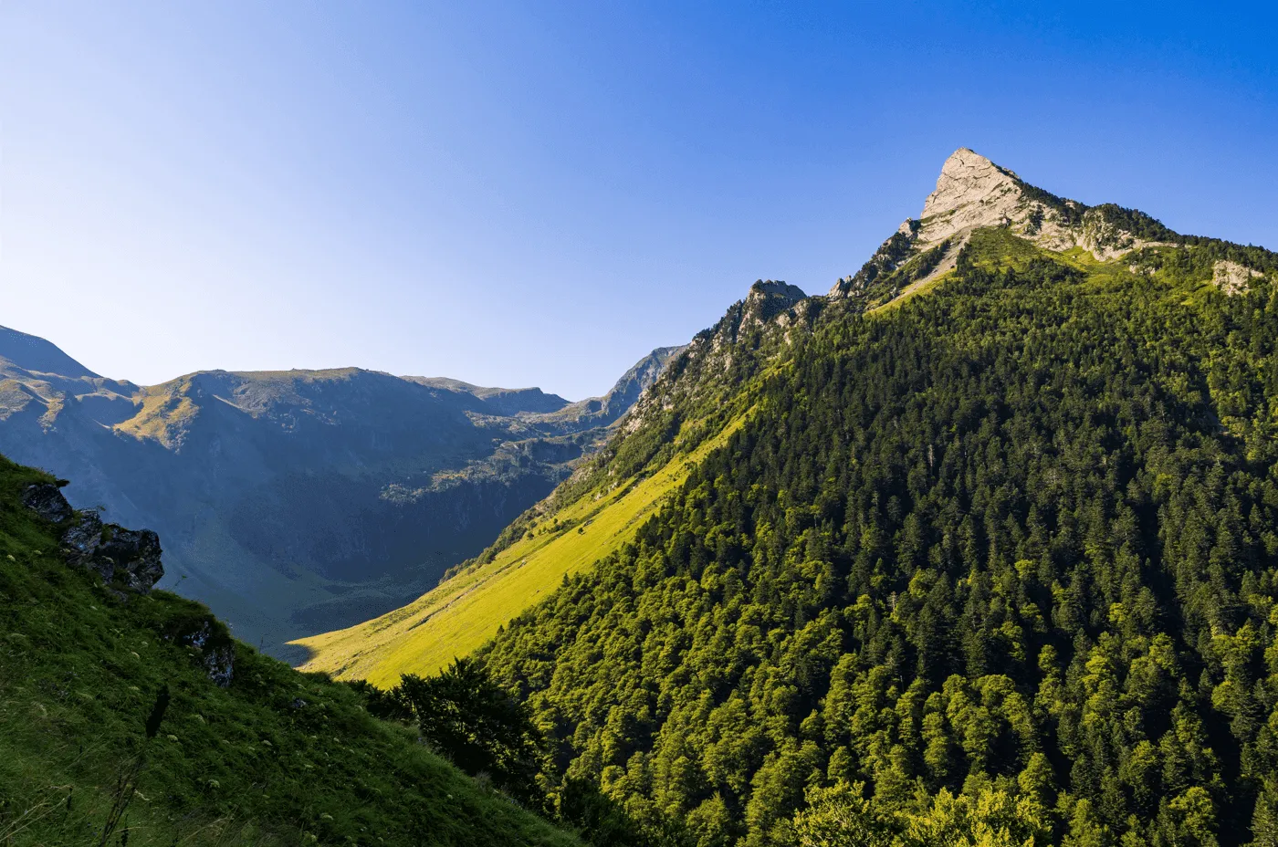
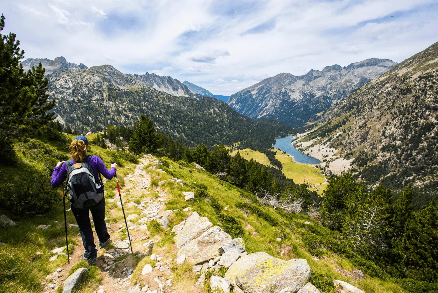
There’s a moment on this trek—usually as you rise above Conangles and enter the Vall de Mulleres—when the landscape suddenly opens. The forest falls away, the granite rises in steep walls, and a chain of high-mountain tarns appears in cirques carved long ago by ice. Ahead, the skyline sharpens into the rugged silhouettes of Aneto, Maladeta, and the border ridge. This is the essence of Trekking Mulleres: remote, raw, and breathtaking from start to finish.

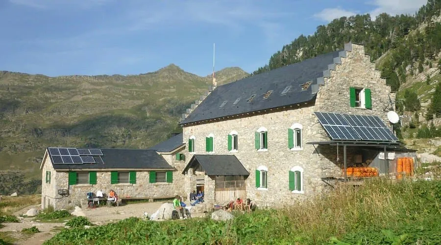
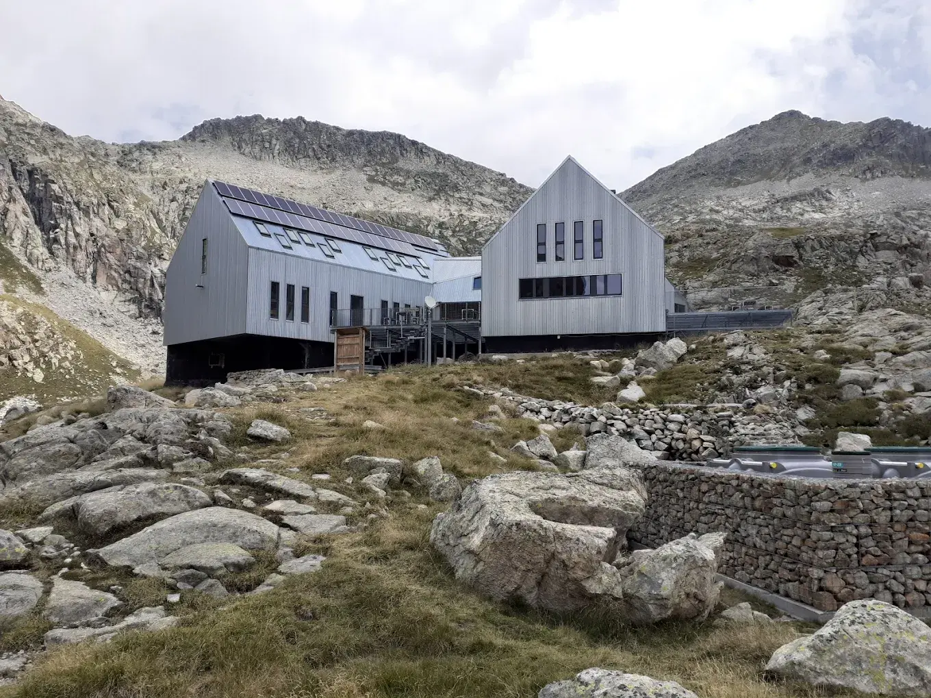
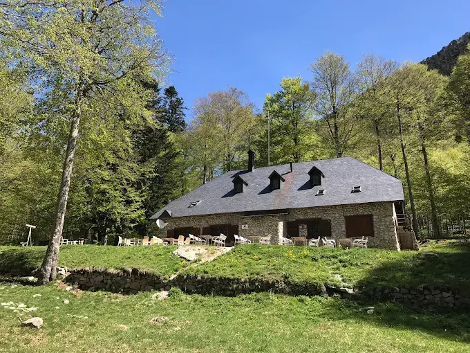
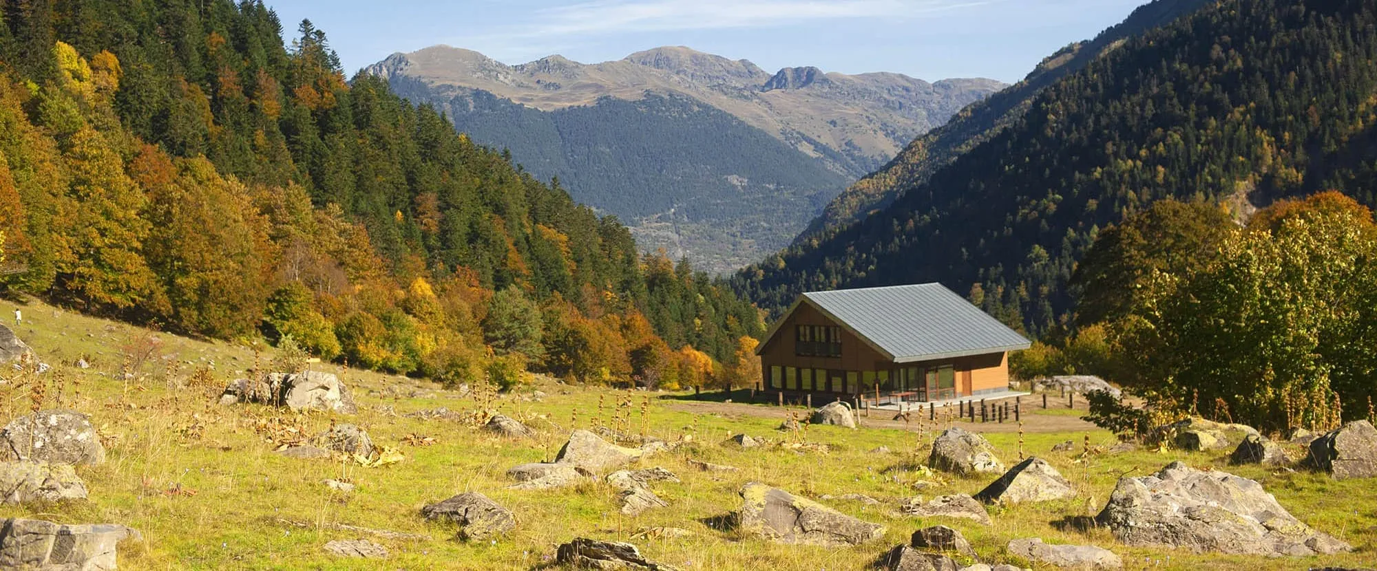
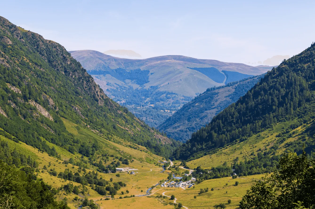
Across five stages you’ll climb from the meadows of Senarta to the historic Renclusa Refuge, traverse to the turquoise basin of Llauset, cross the wild Mulleres valley, and descend into the emerald cirque of Artiga de Lin. The final day crowns the experience with the ascent of Salvaguardia, offering sweeping frontier views before descending to the green open plains of Llanos. It’s the perfect choice for trekkers wanting a challenging Pyrenees adventure with the comfort of a bed each night.

Itinerary

Day
1

Senarta Plan - Renclusa Refuge

Duration: 04:45 h
Distance: 12.8 km
Ascent: 890 m
Descent: 140 m

The route begins in the forested valley near Plan de Senarta, and climbs steadily into high mountain terrain. Following the torrent, the landscape changes from pine woods to open alpine slopes with ever-wider views towards Pico de Paderna and Tuca Blanca de Paderna. The stage is consistently uphill, gaining roughly 900 m of elevation and giving an early taste of the rugged scenery surrounding the Maladeta massif.

The path first follows tracks and clear trails beside the Barranco de Alba, with the rocky summit of Turonet d’Alba rising above the valley. Higher up, the route leaves the wider track to take a steeper mountain path that zigzags through meadows and boulder fields. As height is gained, the panorama opens towards Corona de Remuñe and the distant glaciers on Aneto.

The final climb traverses a stony spur before the white building of the refuge appears. A short traverse leads to the terrace, where the views over the Benasque valley and surrounding peaks reward the effort. Inside, the hut offers bunks, hot meals and a convivial atmosphere, making it an ideal base for the following high-mountain stages.

Refugio de la Renclusa

Info
Refugio de la Renclusa
Day
2

Renclusa Refuge - Llauset Refuge

Duration: 06:30 h
Distance: 11.6 km
Ascent: 1040 m
Descent: 770 m

This high-level crossing links two alpine refuges over rough, remote ground. The itinerary climbs towards the ridges above the hut before dropping again to the basin of the Llauset lakes. With about 1,040 m of ascent and 770 m of descent, it is a demanding day in serious terrain, rewarded by continuous views of the Maladeta and Barrancs groups.

From the hut the trail climbs steeply on cairned paths towards the slopes of Tuca de la Renclusa, weaving between rocks and small tarns. Once on the upper benches, the route continues beneath the serrated crest that includes Tuca de Barrancs and the distant Pico Maldito. The path can be faint and crosses boulder fields where progress is slower and careful footwork is essential.

The traverse then turns south towards the high plateau dotted with the Ibones de Anglios. After skirting these lakes, a final undulating section leads to the outlet of the Estany de Llauset, with Cap de Llauset rising above. A short, steep climb on a good path brings the day to an end at the modern lakeside refuge, well equipped for a restorative evening.

Refugio de Cap de Llauset

Info
Refugio de Cap de Llauset
Day
3

Llauset Refuge - Conangles Refuge

Duration: 04:15 h
Distance: 10.6 km
Ascent: 210 m
Descent: 1070 m

This high-mountain traverse links Llauset Refuge with the valley-based Conangles hut by crossing a chain of rugged basins and rocky upland shelves. Beginning beside Estany de Llauset, the path climbs gradually across broken terraces, rising above 2,400 m before settling into a steady rhythm through granite slabs and tarn-filled hollows. Though not especially technical, it remains a demanding stage with long stretches above treeline, rewarded by expansive views across the Anglios basin and the distant skyline guarding the upper valley.

From the refuge the route follows the lake’s edge before gaining height on cairned ledges weaving between erratic blocks and patches of alpine turf. It soon approaches the broad waters of Estany d’Anglios and then the quieter Estany Cap de Anglios, both set within a high granite bowl framed by pale ridges. Progress can slow where the trail crosses uneven ground, yet the surrounding scenery is consistently striking, especially as the descent begins and the vista opens into a sweeping corridor of peaks, ridges, and shadowed couloirs leading toward the lower slopes.

Beyond the final rise the trail drops steadily into a narrowing valley lined with grass, stone, and scattered pines, marking a clear transition from exposed uplands to more sheltered terrain. As elevation decreases, the route enters dense woodland brightened by rhododendron clusters and threaded by a lively stream. The final kilometres follow this shaded path through mature forest, eventually emerging into the meadows surrounding Refugi de Conangles, a welcoming base at the valley floor.

Refugi de Conangles

Info
 Refugi de Conangles
Refugi de Conangles
Day
4

Conangles Refuge – Artiga de Lin Refuge

Duration: 08:54 h
Distance: 16.1 km
Ascent: 1450 m
Descent: 1530 m

From the Conangles Refuge the trail begins with a steady climb through a deep belt of beech forest, where pale trunks rise closely together and the ground is carpeted with moss and fallen leaves. The environment here feels enclosed and cool, with glimpses of the upper valley appearing only occasionally between the trees. As the path rises, the woodland gradually loosens, revealing open pockets of meadow alive with summer flowers and views toward the darker ridges that frame the head of the Mullères valley.

Above the last pines the landscape becomes increasingly mineral, and the trail follows a series of rocky shelves leading into the high basin beneath Pico Mulleres. Here the terrain is dominated by fractured slabs, angular towers, and long slopes of scree. Along the way the route passes several striking mountain lakes: the deep Estanhots de Mullères, the larger Estanhon des Pois, and finally the small Ivon Rodó de l’Escaleta set below sharp spires of rock. Each tarn sits in a stark cirque of boulder fields, their still water reflecting the surrounding cliffs. A final push brings you to a windswept saddle where the views broaden dramatically.

The descent into Artiga de Lin follows gentler ground, dropping across grassier slopes and scattered stones as the valley widens below. As altitude decreases, the path re-enters forest, this time brighter and more varied, with clear streams running beside it. Emerging from the trees, the trail crosses open pastures and leads directly to the buildings and meadows surrounding the Artiga de Lin Refuge.

Refugio Artiga de Lin

Info
Refugio Artiga de Lin
Day
5

Artiga de Lin Refuge - Bus stop Vado-Hospital

Duration: 06:16 h
Distance: 13.7 km
Ascent: 1050 m
Descent: 750 m

The route begins at Refugio Artiga de Lin and follows the access track across the open meadow surrounding the building. The trail heads toward the forest edge, staying on a clear gravel path before turning onto a narrower footpath that enters the trees. As soon as the route enters the forest, the environment becomes noticeably shaded, with dense vegetation on both sides of the path. The trail descends gradually here, following a natural line through the woodland while maintaining a consistent direction.

After leaving the thicker trees, the landscape opens up into a long, shallow valley. The ground is a mixture of grass, scattered rocks and low shrubs. The route stays on a steady traverse above the valley floor, crossing gentle slopes and small drainage channels. This section offers continuous forward visibility, with the path running in a straight line for extended stretches before shifting direction slightly as it approaches a broader plateau.

Further along, the trail reaches an area where the valley widens and the terrain becomes flatter. Small ponds, marshy patches and braided water channels appear in the central part of the basin. The path remains well-defined along the right-hand side, avoiding the wet ground and continuing across firmer terrain. Occasional clusters of trees and rocky outcrops break up the otherwise open landscape.

Past the plateau, the route steadily approaches the transition zone toward Vado-Hospital. The terrain becomes rockier again, with the path running above a series of small ridges and slopes. The trail stays clear while it crosses these sections, alternating between short rises and level traverses. As you draw closer to the end of the stage, the valley narrows slightly and the track begins a final, gentle descent.

In the last stretch, the route joins a wider gravel road that leads directly back to the Vado-Hospital area. The surroundings here are more open, with grass fields and scattered trees flanking the road. The trail follows this access road until it reaches the bus stop, which marks the end point of the trek.

Included

  • Full travel guide

    You’ll receive access to our trekking app, which serves as your complete digital travel guide for the Posets-Maladeta Tour. Inside, you’ll find everything you need for your trek: route descriptions, hiking maps, navigation support, payment information, and all the key details specific to your journey.

  • Accommodation

    During your Posets-Maladeta Tour, you will spend your nights in mountain huts. In the mountain huts we normally only book dormitories, but we can look into private rooms on request. If the private rooms are fully booked or not available in the hut, we automatically book a bed in dormitories for you. Please note that private rooms are more expensive and there will be an additional charge for this.

  • Half-board in Huts

    Accommodation at the huts includes dinner and breakfast. We will arrange this for you as well. This allows you to travel lighter and have one less thing to worry about. Bear in mind that lunch is not included, but it can be purchased at the huts. Here you can also buy an array of snacks and bottled water.

  • Navigation support

    Our trekking app also includes built-in navigation support. With GPS-based maps and offline access, you can follow the trail confidently and stay on route even without mobile signal.

Excluded

  • Traveling to and from

    You have to make your own way to the starting point. The total amount does not include personal transport.

  • Transfers

    Should you need any form of (public) transport on location, this is not part of the trekking package. This includes the use of taxi, bus, cable cars, gondolas, ferries, etc.

  • Lunch

    Half-board is included in the price of this trek. Lunch, however, is not. You can get something to eat at the mountain huts along the way.

  • Travel Insurance

    Your international travel insurance is your own responsibility. Discuss your itinerary with the insurance company before your trek.

  • Personal expenses

    Personal expenses on such as souvenirs, drinks, and other similar expenses are for your own account.

FAQ

  • How to get to the Starting Point: La Besurta

  • How to get to the End Point: Llanos

  • What if the dates I want are not available?

  • If I book now, can I immediately arrange the rest of my trip?

  • How do I know if this trek is right for me?

How to Book

  • Booking

  • Availability

  • Cancellation policy