Beginner Tour de Vallaisonnay

Duration: 5 days
Trails: T2 trails
Distance: 0 - 10 km per day
Ascent per day: 250 - 500 m ascent per day

> Explore the gentle side of the French Alps in 5 easy stages
> Stay in welcoming mountain huts deep in the Vanoise National Park
> Perfect for first-timers in the Alps!

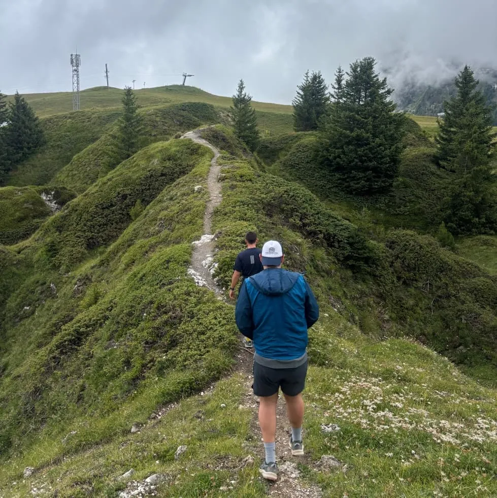
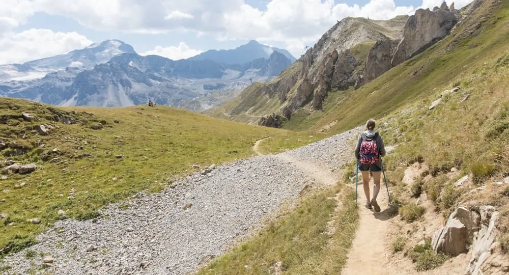
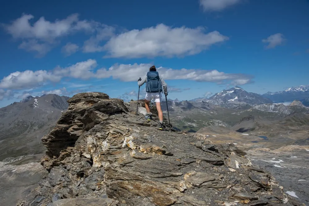
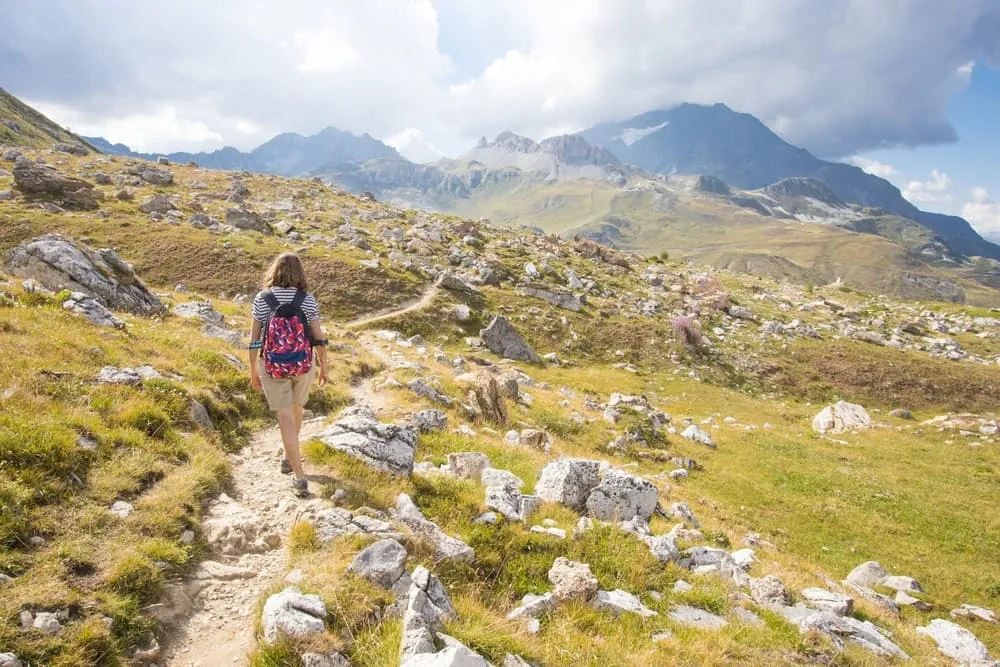
The Tour de Vallaisonnay is a 5-day alpine trekking experience designed for beginners and those who want to enjoy the mountains without stress. This circular route in the heart of the Vanoise National Park features moderate distances, clearly marked trails and unforgettable views, and there are no technical challenges.

You will sleep in charming alpine refuges such as Entre le Lac, Plaisance, La Glière and Col du Palet, surrounded by snow-capped peaks, lush meadows and tranquil mountain lakes. This tour is the perfect introduction to hut-to-hut trekking in one of France's most beautiful national parks.

Itinerary

Day
1

Refuge de Rosuel - Refuge d'Entre le Lac

Duration: 03:40 h
Distance: 8.56 km
Ascent: 730 m
Descent: 140 m

The tour begins with an impressive yet accessible first stage starting from the Refuge de Rosuel. This trail strikes the perfect balance between effort and reward. First, you will follow a discovery trail offering views of the valley and the sparkling Vanoise glaciers in the distance.

Then continue with a gentle ascent through a picturesque forest, enjoying beautiful views along the way, as you follow the clearly marked path beneath the imposing mountain peaks. Continue walking alongside alpine meadows and the meandering Ponturin stream. After a few hours of steady hiking, and shortly after passing the Chalet de la Rèbe, the terrain flattens out a bit. Pass by multiple waterfalls before reaching the lively Lac de la Plagne, where you may catch a glimpse of marmots and ibexes.

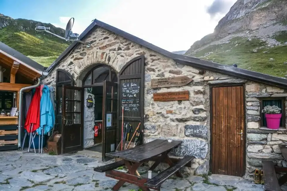
After enjoying a peaceful break by the lake, you will soon reach the Refuge d’Entre le Lac. Located just above the serene lake, it’s the perfect spot to enjoy a warm meal and watch the sun set over the surrounding cliffs. Welcome to the mountains!

Refuge Entre le Lac

Info
Refuge Entre le Lac
Refuge Entre le Lac
Day
2

Refuge d'Entre le Lac - Refuge de Plaisance

Duration: 03:00 h
Distance: 6 km
Lowest Point: 430 m
Highest Point: 440 m

Today's stage takes you from the Refuge d'Entre le Lac to the Refuge de Plaisance. Although this stage is relatively short, it includes some ups and downs. The first section is uphill, while the second part of the route descends towards tonight's accommodation.

You will start with a gradual ascent through alpine meadows and enjoy beautiful views along the way. As you approach the day's highest point, Tête Rouge (2,600 m), the trail will become steeper. This is a great spot to stop and take in the panorama.

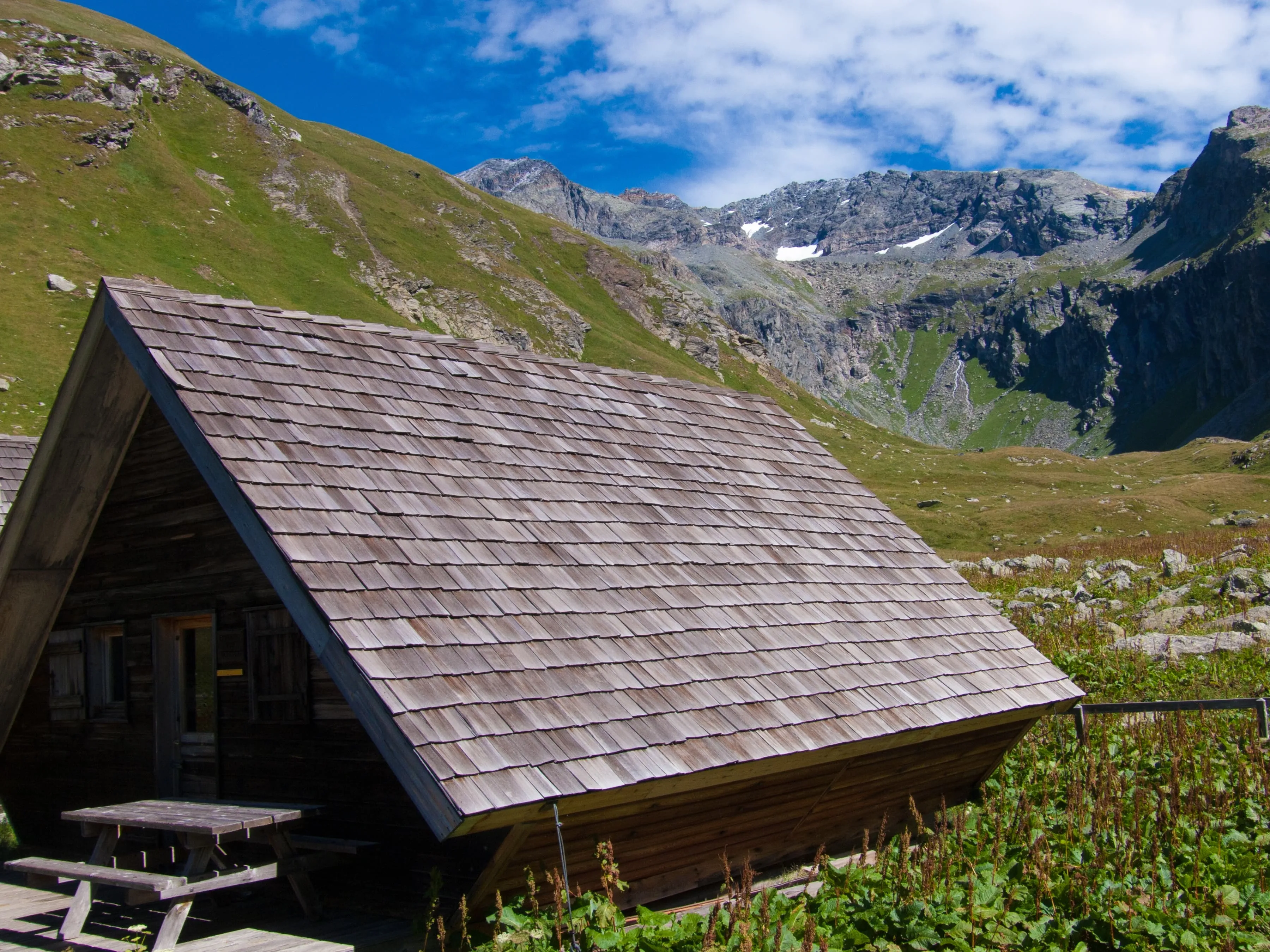
The long descent towards the Refuge de Plaisance, which is located next to the stream at Le Py, is rocky but manageable. It winds down through rocky terrain where you may catch a glimpse of marmots or eagles. The peaceful refuge appears below, surrounded by silence and nature. This rewarding and adventurous stage will leave you feeling a sense of accomplishment.

Refuge de Plaisance

Info
Refuge de Plaisance
Refuge de Plaisance
Day
3

Refuge de Plaisance - Refuge de La Gliére

Duration: 03:00 h
Distance: 6.85 km
Ascent: 420 m
Descent: 600 m

This is one of the most varied and satisfying stages of the tour. First, you will enjoy a long descent through alpine meadows, surrounded by craggy peaks and the occasional marmot whistle. As you approach the glacial valley below, the route becomes a mixture of open pastures and wooded slopes, and then ascends to tonight's hut.

This descent is always accompanied by the stream of Le Py, which requires a bit of concentration. Towards the end, you will hear the sound of the Cascade du Py. After zigzagging for a while, turn around to be rewarded with this fantastic natural phenomenon. Soon afterwards, you will reach the lowest point of the day at the Refuge du Laisonnay. A long ascent follows, incorporating forest paths and panoramic rest stops overlooking the Doron River.

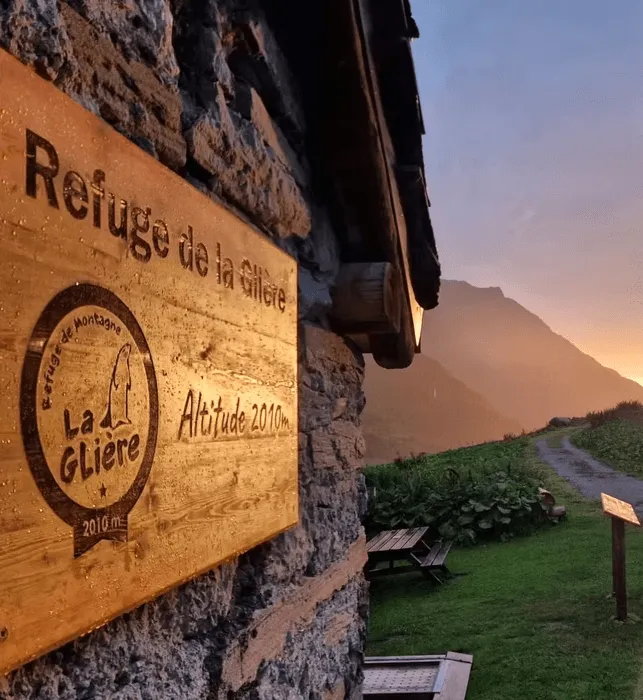
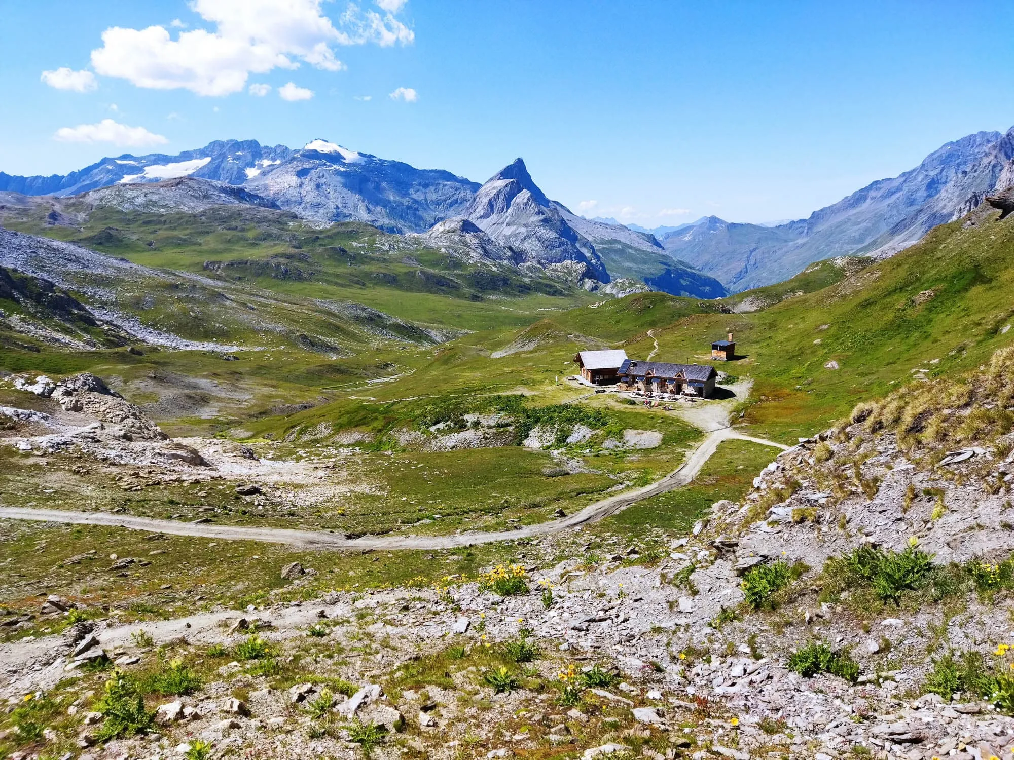
Upon reaching the Refuge de la Glière, you will find yourself back in the heart of the Vanoise National Park. This cosy refuge is located in an open valley with far-reaching views and plenty of space to relax. It's time to rest your feet and enjoy the fresh alpine air!

Refuge de La Gliére

Info
Refuge de La Gliére
Refuge de La Gliére
Day
4

Refuge de la Glière - Refuge du Col du Palet

Duration: 02:45 h
Distance: 6.63 km
Ascent: 660 m
Descent: 70 m

This is a rewarding hike from Refuge de la Glière to Refuge du Col du Palet. This stage is short in distance but more challenging in elevation, gaining around 660 meters over 6.75 kilometers. The trail winds steadily upward through alpine terrain, offering increasingly dramatic views as you climb higher into the mountains.

The first part of the trail follows a scenic balcony path with great views down the valley. You’ll pass waterfalls, glacial streams and wildflower meadows. As you ascend, the surroundings become more rugged and rocky, with a noticeable alpine feel. Be sure to pause at one of the panoramic viewpoints along the way — they offer stunning vistas and great photo opportunities.

Eventually, the trail levels out as you approach Refuge du Col du Palet, located at an altitude of around 2,600 meters. Nestled in a wild and open mountain landscape, the refuge is a great place to unwind and enjoy the peaceful high-altitude atmosphere. This stage marks your arrival in the heart of Vanoise National Park.

Col du Palet Refuge

Info
Col du Palet Refuge
Col du Palet Refuge
Day
5

Refuge du Col du Palet - Refuge de Rosuel

Duration: 03:50 h
Distance: 9.92 km
Descent: 1010 m

Starting from the Col du Palet, you will be surrounded by a high-mountain atmosphere as you follow a scenic route past crystal-clear lakes. You will begin with a panoramic view of the beautiful Lac de Grattaleu. As you gradually descend into the valley, the towering peaks and rugged terrain give way to more open alpine landscapes.

The path then winds its way through rocky slopes and grassy fields, providing you with breathtaking vistas of the surrounding peaks and valleys. En route, you will pass lakes and high plateaus where marmots are often spotted. From Plan de la Grassaz, you will be above Lac de la Plagne. Take a short break here to admire the tranquil waters and watch the marmots playing on the rocks.

The route then continues alongside the meandering Ponturin River, passing several small waterfalls and entering lush forest sections as you approach the Refuge de Rosuel. With the majestic peaks of the Vanoise range towering above you, the final stage of your trek ends on a high note and a well-deserved rest awaits.

Included

  • Full travel guide

    You’ll receive access to our trekking app, which serves as your complete digital travel guide for the Vanoise. Inside, you’ll find everything you need for your trek: route descriptions, hiking maps, navigation support, payment information, and all the key details specific to your journey.

  • Accommodation

    During your Vanoise, you will spend your nights in mountain huts. In the mountain huts we normally only book dormitories, but we can look into private rooms on request. If the private rooms are fully booked or not available in the hut, we automatically book a bed in dormitories for you. Please note that private rooms are more expensive and there will be an additional charge for this.

  • Half-board in Huts

    Accommodation at the huts includes dinner and breakfast. We will arrange this for you as well. This allows you to travel lighter and have one less thing to worry about. Bear in mind that lunch is not included, but it can be purchased at the huts. Here you can also buy an array of snacks and bottled water.

  • Navigation support

    Our trekking app also includes built-in navigation support. With GPS-based maps and offline access, you can follow the trail confidently and stay on route even without mobile signal.

Excluded

  • Traveling to and from

    You have to make your own way to the starting point. The total amount does not include personal transport.

  • Transfers

    Should you need any form of (public) transport on location, this is not part of the trekking package. This includes the use of taxi, bus, cable cars, gondolas, ferries, etc.

  • Lunch

    Half-board is included in the price of this trek. Lunch, however, is not. You can get something to eat at the mountain huts along the way.

  • Travel Insurance

    Your international travel insurance is your own responsibility. Discuss your itinerary with the insurance company before your trek.

  • Personal expenses

    Personal expenses on such as souvenirs, drinks, and other similar expenses are for your own account.

FAQ

  • How to Get to the Starting Point of the Beginner Tour de Vallaisonnay

  • End Point: Refuge de Rosuel

  • What if the dates I want are not available?

  • If I book now, can I immediately arrange the rest of my trip?

  • How do I know if this trek is right for me?

How to Book

  • Booking

  • Availability

  • Cancellation policy