Preferred date sold out?
Discover our hut-to-hut treks in Austria with availability in August or September and secure your adventure before it's too late!

Advanced Berliner Höhenweg Express

Duration: 4 days
Trails: T4 trails
Distance: 10 - 15 km per day
Ascent per day: 500 - 1000 m ascent per day

> A short but intense version of the legendary Berliner Höhenweg
> Tackle the most technical and rewarding stages in just 4 days
> Bookatrekking.com arranges all your huts — just show up and hike

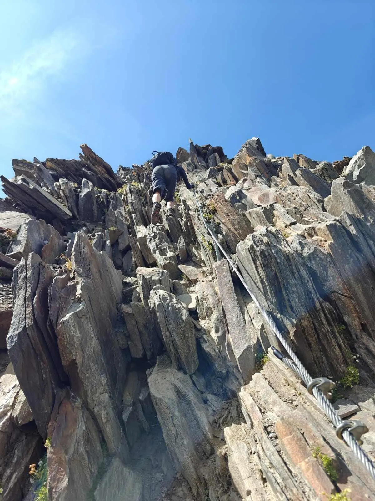
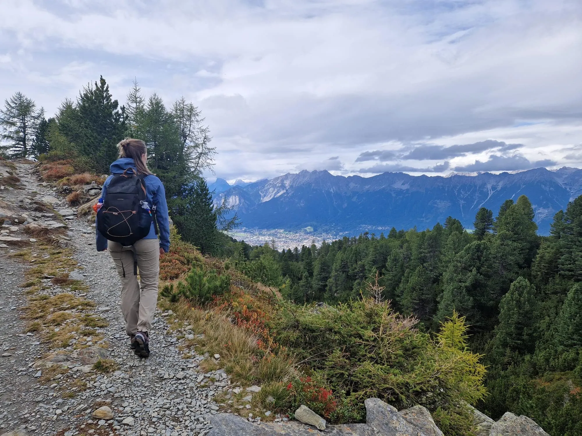
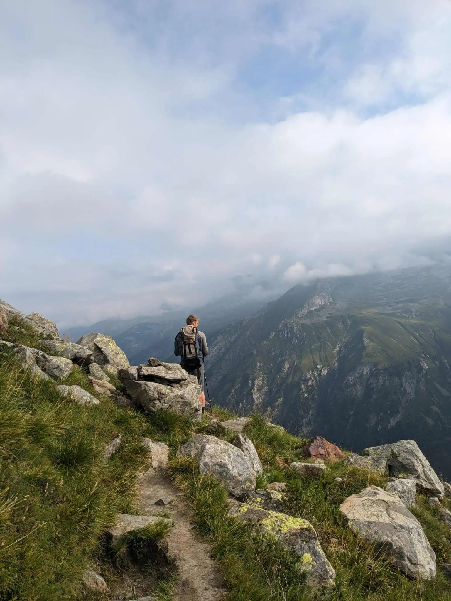
Want to experience the best of the Zillertal Alps without committing to a full week in the mountains? This 4-day route along the Berliner Höhenweg is your perfect long weekend escape. It includes the most challenging and spectacular sections of the full Höhenweg — high alpine terrain, dramatic passes like the Lappenscharte and Mörchenscharte, rugged ridgelines, steep descents, and exposed traverses. Some sections are rated T4 to T5, making this trek ideal for experienced mountain hikers looking for real adventure.

You’ll start at Gasthof Wasserfall and finish at Zemmgrund, passing iconic huts like the Kasseler Hütte, Greizer Hütte, and the grand Berliner Hütte. Expect cables, scrambling, glaciers in the distance, and that pure alpine thrill you only get when you’ve earned your views. With all accommodations arranged for you, this is a hassle-free, high-impact trekking experience in one of Austria’s most dramatic mountain ranges.

Itinerary

Day
1

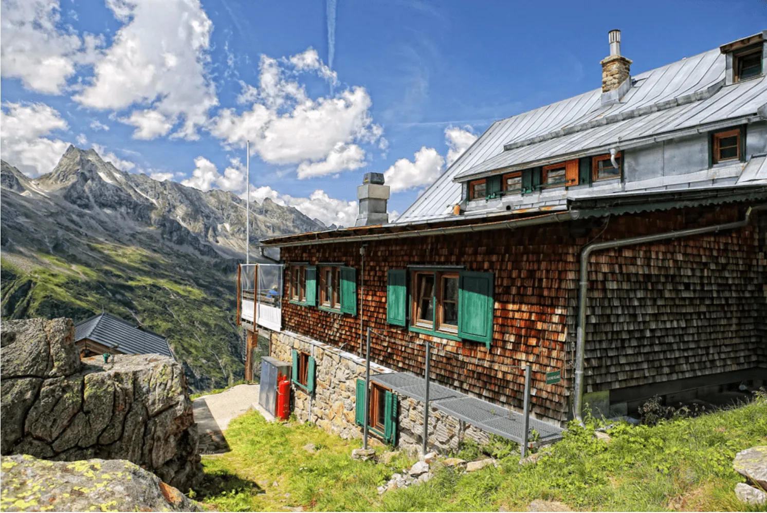
Gasthof Wasserfall - Kasseler Hütte

Duration: 05:45 h
Distance: 12.7 km
Ascent: 1060 m
Descent: 20 m

You start this trek at the northern end of the Stillup reservoir, roughly 9 km from Mayrhofen. To get there, you first take the Ahornbahn cable car from Mayrhofen, which brings you up into the mountains and closer to the trailhead area.

From there, you start hiking southbound on the easy tarmac path from Gasthof Wasserfall. It’s a mostly flat hike along the shores of the reservoir for the first 2 km. After this, keep following the Stillup Bach, staying on the main track up. It's a gradual climb for another 7.5 km towards the end of the Stilluptal, while you have plenty of time (and breath) to take in the idyllic landscape of this mountain valley.

The final ascent starts at the cable car to the Kasseler Hütte and this is where the route becomes harder. It’s a steep ascent where you climb 420 meters in just 2 km. At the top it joins the actual route of the Berliner Höhenweg. Turn right and find the hut less than a kilometer further.

Kasseler Hütte

Info
Kasseler Hütte
Kasseler Hütte
Day
2

Kasseler Hütte - Greizer Hütte

Duration: 05:45 h
Distance: 9.8 km
Ascent: 670 m
Descent: 620 m
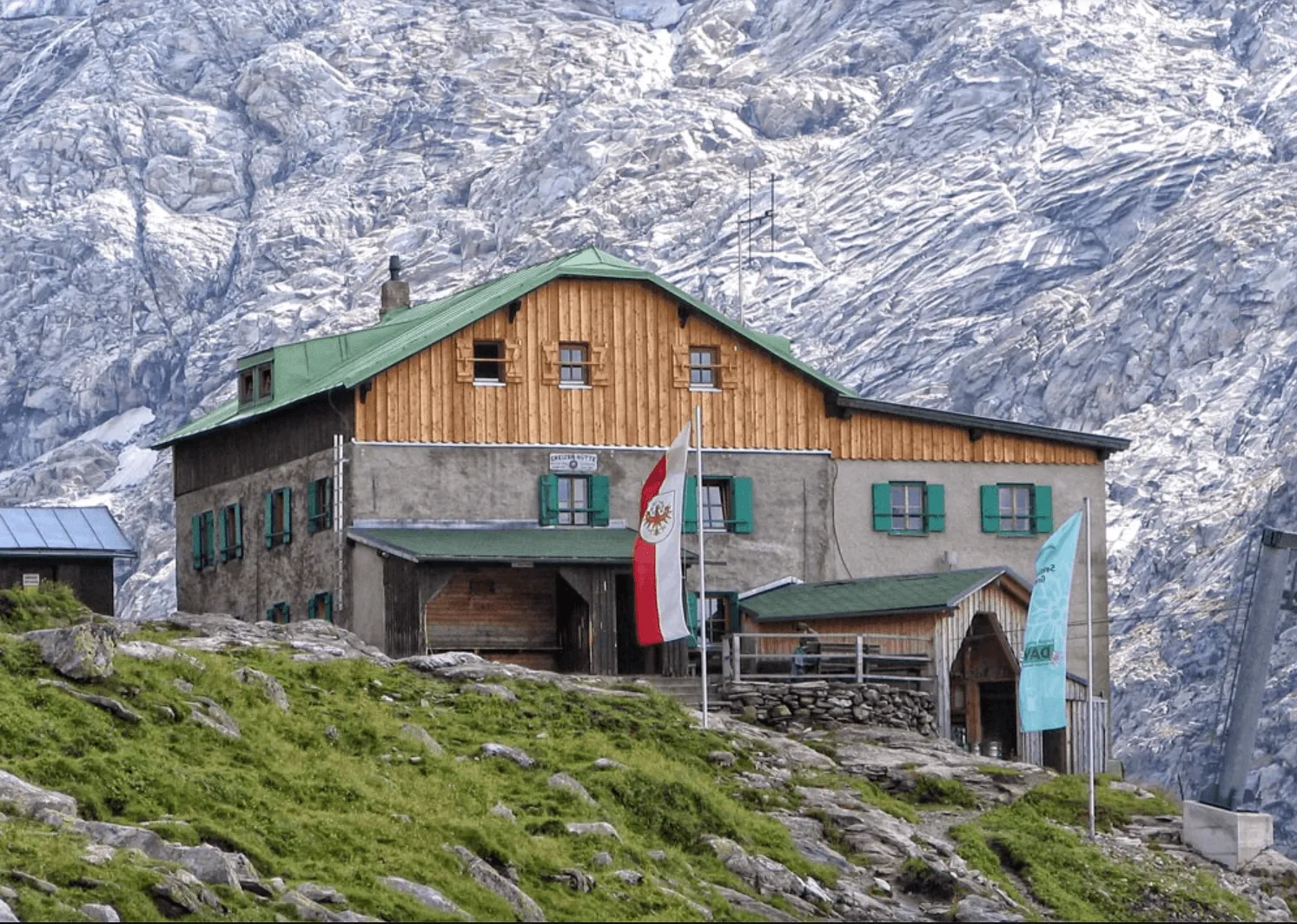
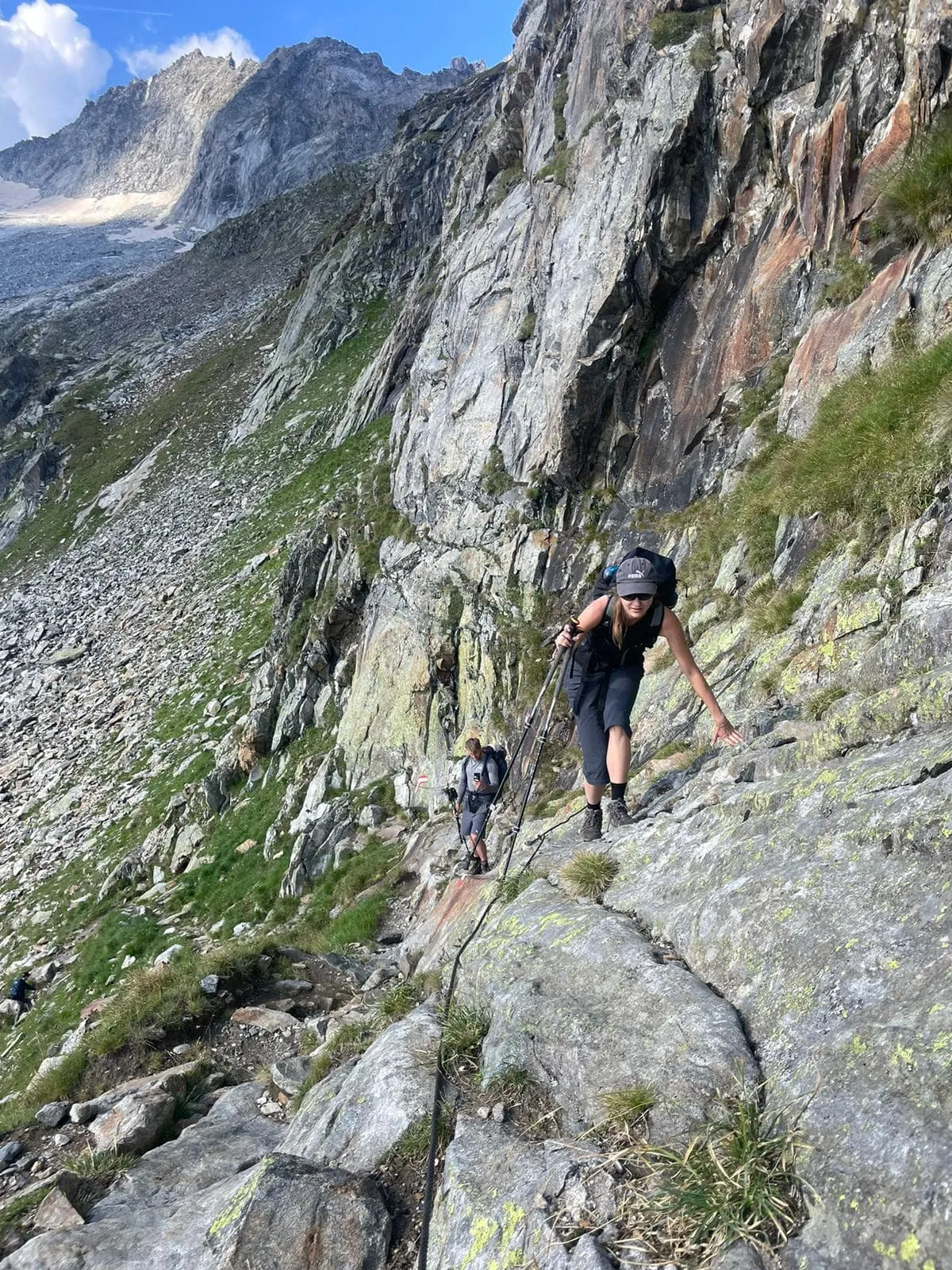
From the hut, you walk towards the beautiful suspension bridge that hangs over the Stillupbach. Follow the path to the Eisenklamm gorge. Here the climb starts to the top of the Lappenscharte, a difficult pass at 2700 meters altitude. You walk along a narrow path along a deep ravine. Cables and railings have been installed to make this section safer. Just before the pass, you need to scramble here and there. Once you reach the top, you feel like you've climbed a mountain. The short descent to the Greizer Hütte is a bit easier. Time for a well-deserved Kaiserschmarrn!

Greizer Hütte

Info
Greizer Hütte
Greizer Hütte
Day
3

Greizer Hütte - Berliner Hütte

Duration: 07:15 h
Distance: 10.8 km
Ascent: 1010 m
Descent: 1180 m
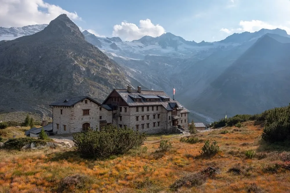
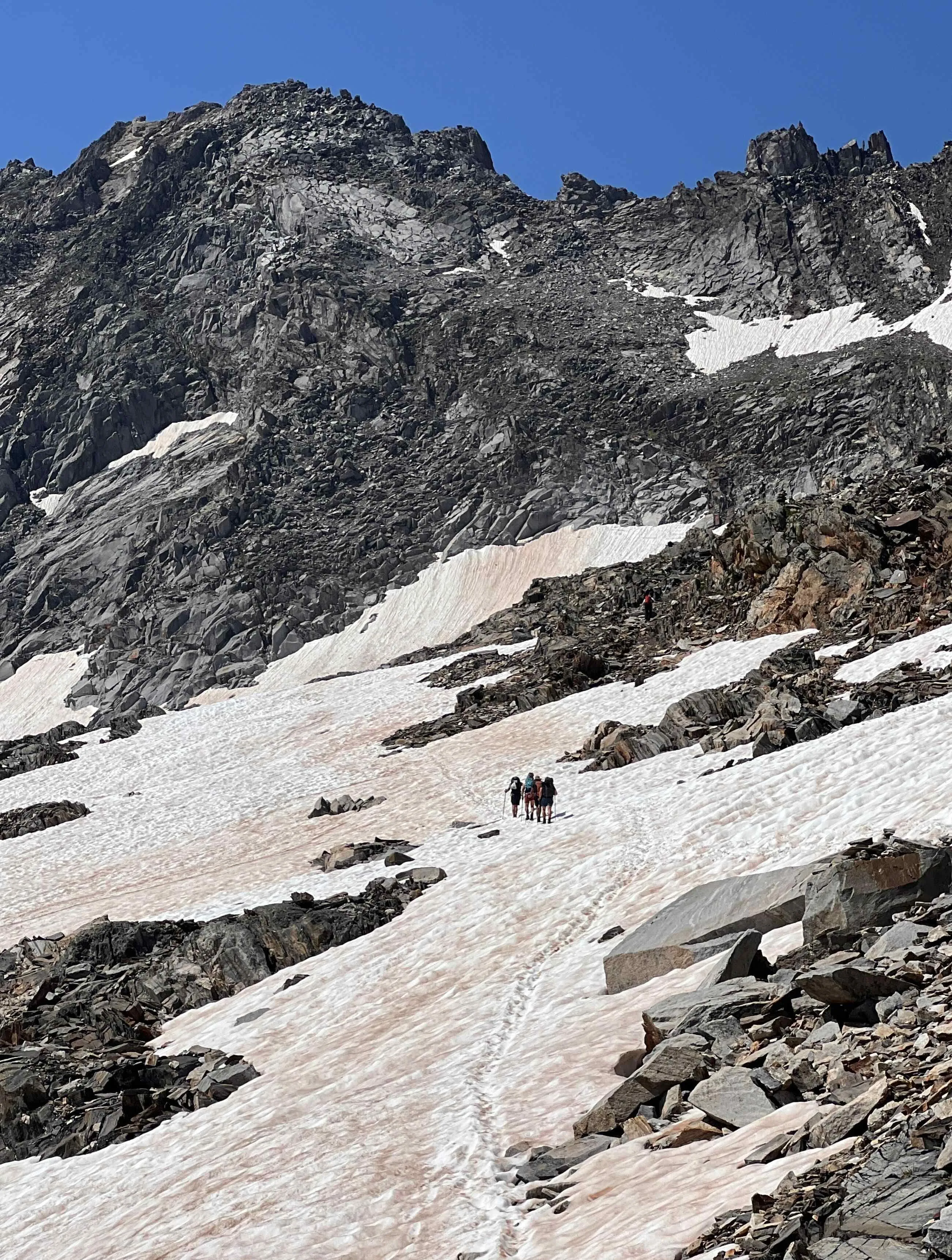
It is a good idea to warm up before starting this stage. The trail descends steeply for 400 meters towards the Floitenbach, a stream that drains the meltwater from the Floitenkees glacier. Then it's a challenging climb of about 1000 meters in altitude to the nördliche Mörchenscharte. Some sections are equipped with ladders and cables. This may be the hardest part of the Berliner Höhenweg. The Mörchenscharte itself is a narrow passage over the mountain ridge. The landscape here is incredibly rugged with many boulder fields and glaciers higher up. Do not underestimate the descent to the Berliner Hütte. You will descend over difficult terrain for 5 kilometers, dropping more than 800 meters.

Berliner Hütte

Info
Berliner Hütte
Berliner Hütte
Day
4

Berliner Hütte - Zemmgrund

Duration: 02:44 h
Distance: 9.18 km
Descent: 780 m

Your final day on the trail begins with a descent from the historic Berliner Hütte into the lush Zillertal valley. The path follows the course of the Zemmbach river, offering a peaceful soundtrack to accompany your walk. Early on, you’ll pass the Alpenrose hut and the impressive Zembach dam — great spots for a quick photo or a short rest.

As you continue downhill, the scenic Grawandhütte makes for a perfect mid-stage break. Grab a refreshment or a hearty snack while enjoying views of the surrounding peaks. The trail then gently winds its way further down the valley, with wide-open vistas and alpine meadows marking the final stretch. Your hike concludes at the Zemmgrund bus stop, where you can catch a bus back to Mayrhofen.

Included

  • Full travel guide

    You’ll receive access to our trekking app, which serves as your complete digital travel guide for the Berliner Höhenweg. Inside, you’ll find everything you need for your trek: route descriptions, hiking maps, navigation support, payment information, and all the key details specific to your journey.

  • Accommodation

    During your Berliner Höhenweg, you will spend your nights in mountain huts. In the mountain huts we normally only book dormitories, but we can look into private rooms on request. If the private rooms are fully booked or not available in the hut, we automatically book a bed in dormitories for you. Please note that private rooms are more expensive and there will be an additional charge for this.

  • Half-board in Huts

    Accommodation at the huts includes dinner and breakfast. We will arrange this for you as well. This allows you to travel lighter and have one less thing to worry about. Bear in mind that lunch is not included, but it can be purchased at the huts. Here you can also buy an array of snacks and bottled water.

  • Navigation support

    Our trekking app also includes built-in navigation support. With GPS-based maps and offline access, you can follow the trail confidently and stay on route even without mobile signal.

Excluded

  • Traveling to and from

    You have to make your own way to the starting point. The total amount does not include personal transport.

  • Transfers

    Should you need any form of (public) transport on location, this is not part of the trekking package. This includes the use of taxi, bus, cable cars, gondolas, ferries, etc.

  • Lunch

    Half-board is included in the price of this trek. Lunch, however, is not. You can get something to eat at the mountain huts along the way.

  • Travel Insurance

    Your international travel insurance is your own responsibility. Discuss your itinerary with the insurance company before your trek.

  • Personal expenses

    Personal expenses on such as souvenirs, drinks, and other similar expenses are for your own account.

FAQ

  • Is the Berliner Höhenweg Suitable for Me?

  • What Is the Best Season for the Berliner Höhenweg?

  • Gettting to and from

  • Getting Back to Mayrhofen

  • What if the dates I want are not available?

  • If I book now, can I immediately arrange the rest of my trip?

  • How do I know if this trek is right for me?

How to Book

  • Booking

  • Availability

  • Cancellation policy