EUR €
EUR €
GBP £
USD $
CAD C$
SEK kr
NOK kr
DKK kr
AUD A$
CHF CHF
NZD NZ$
HKD HK$
SGD S$
RON lei
HUF Ft
CZK Kč
Destinations
Destinations
Europe
Trekking type
Trekking type
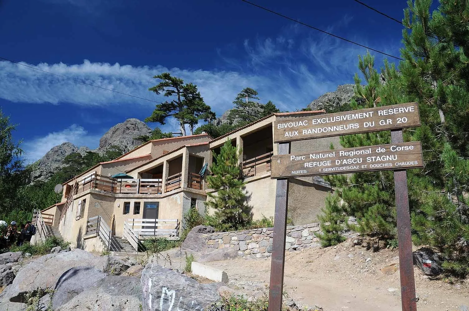
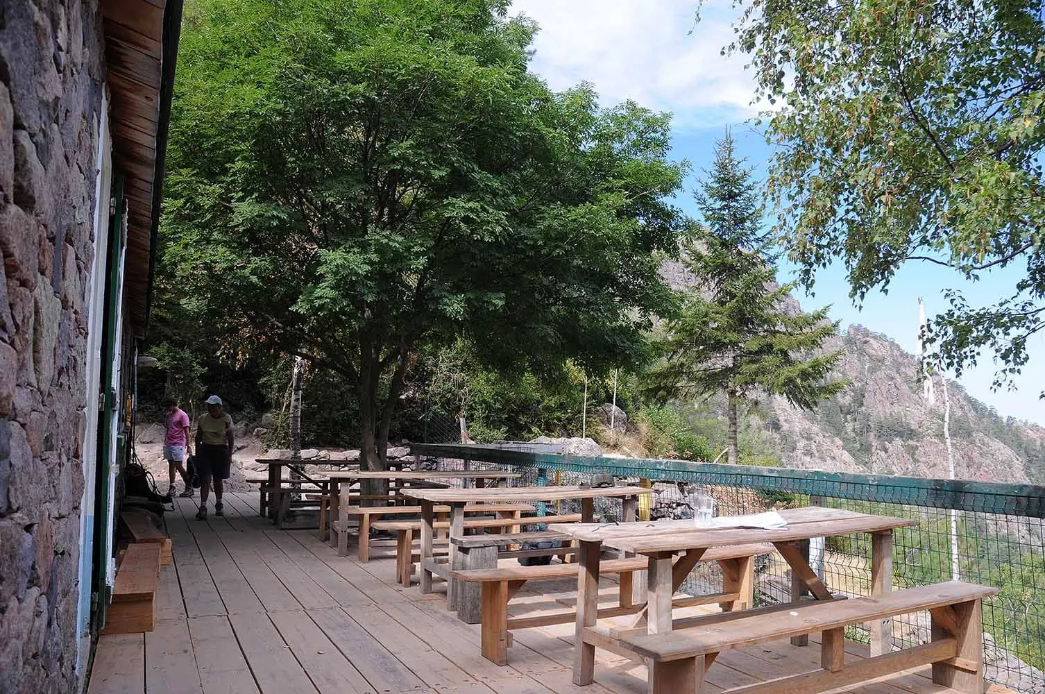
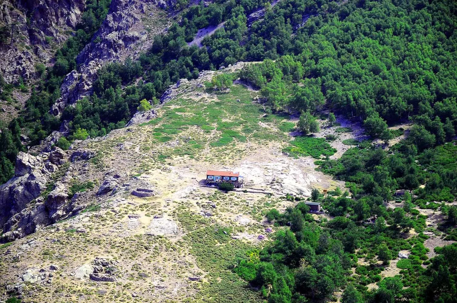
Hut-to-hut hiking
Hut-to-hut hiking Dolomites
Hut-to-hut hiking Alps
Hut-to-hut hiking Austria
Hut-to-hut hiking Switzerland
Walking Holiday
Climb Kilimanjaro