GR20 Southern Half (from North to South)

Duration: 6 days
Trails: T4 trails
Distance: 10 - 15 km / 6 - 9 mi per day
Ascent per day: 500 - 1000 m / 1640 - 3281 ft ascent per day

> Explore the southern half of the GR20
> Hike from Vizzavona to Conca
> Experience the stunning Plateau de Coscione

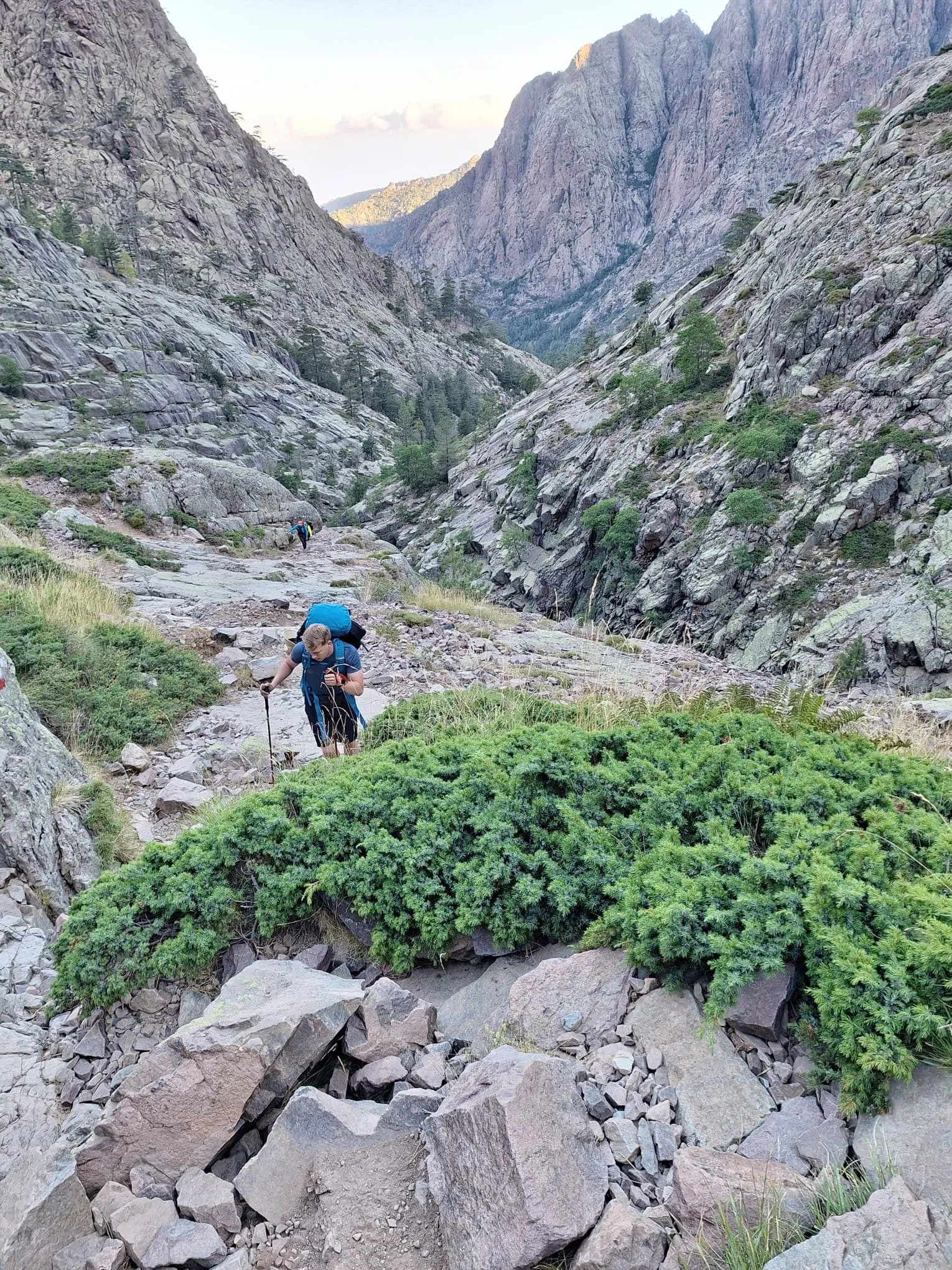
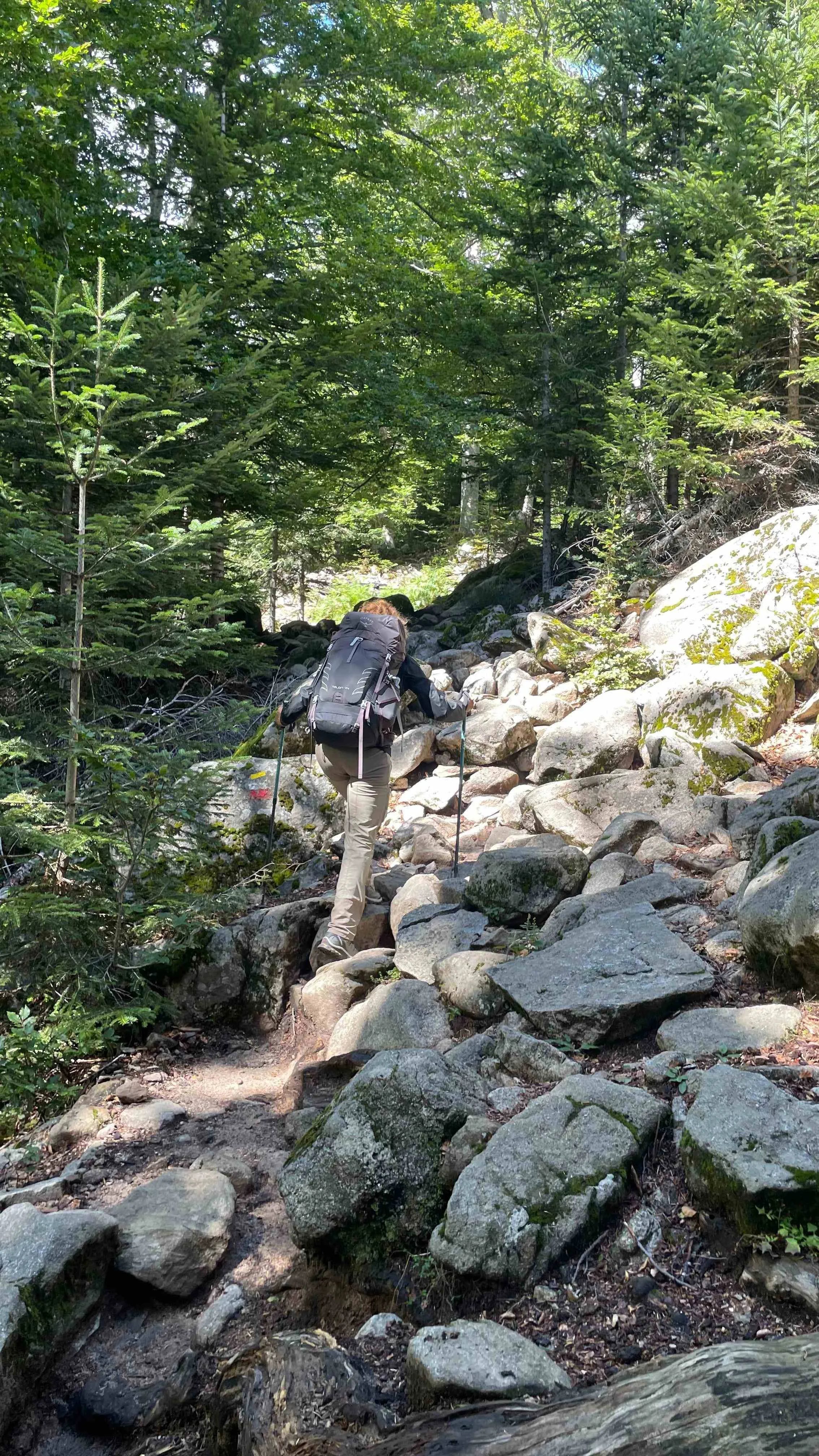
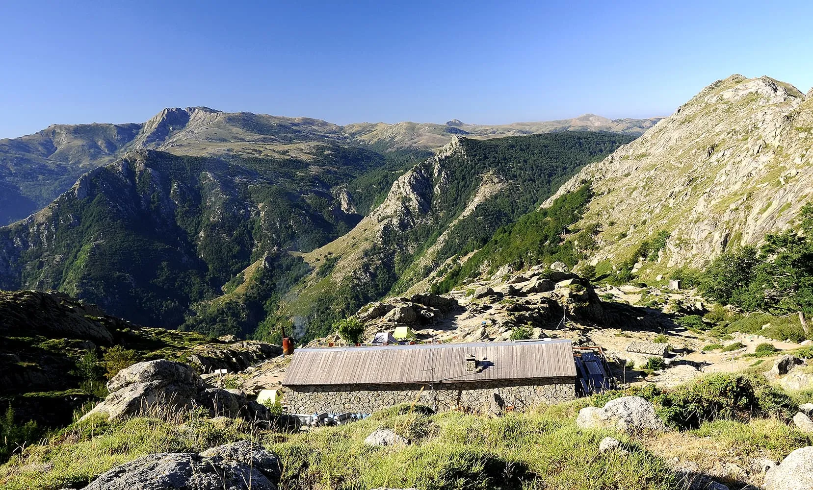
The GR20, also called fra li Monti, is a legendary GR (Grande Randonnée) hiking trail that spans the Mediterranean island of Corsica from north to south. Spanning roughly 180 km with a staggering 12,000 meters of elevation gain, it’s often hailed as the toughest GR trail in Europe due to its rugged and technical terrain.

Why Both Directions?
The GR20 can be hiked in either direction—north to south or south to north. The entire trek typically takes 15 days, but shorter options are available. You can choose to hike either the northern or southern section. This southern half is a 6-day journey that begins in Vizzavona and finishes in Conca, but can also be done the other way around. Compared to the more demanding northern part, the southern section is quieter and less strenuous, making it ideal for those seeking a more relaxed introduction to the GR20.

Camping: during this trek, you can also spend the night at camping sites. Contact our trekking experts to find out more about this option!

Itinerary

Day
1

Vizzavona - Gite u Fugone

Duration: 05:55 h
Distance: 14.2 km / 8.8 mi
Ascent: 930 m / 3051 ft
Descent: 260 m / 853 ft

This first stage of the southern half begins in Vizzavona (920 m) and ascends to Gîte U Fugone near Bergeries de Capannelle (1586 m). The trail's highest point is Col de Palmente at 1640 m, offering stunning views.

Highlights:
- Monte Renoso (2352 m)
- Lac de Bastani
- Monte Calvi (1461 m)
- Monte d'Oro (2389 m)
- Ghisoni (665 m)

Gite u Fugone

Info
Gite u Fugone
Gite u Fugone
Day
2

Gîte U Fugone - Refuge de Prati

Duration: 07:20 h
Distance: 17.7 km / 11 mi
Ascent: 910 m / 2986 ft
Descent: 700 m / 2297 ft

This section of the trail starts in Gite U Fugone (approx. 1000 m) and ends in Refuge de Prati (1820 m). The highest point is Col de la Flasca.

Highlights:
- Monte Renoso (visible from the path)
- Col de la Flasca
- Relais San Petru di Verde

Refuge de Prati

Info
Refuge de Prati
Refuge de Prati
Day
3

Refuge de Prati - Refuge d'Usciolu

Duration: 04:50 h
Distance: 10.8 km / 6.7 mi
Ascent: 620 m / 2034 ft
Descent: 680 m / 2231 ft

This section of the trail starts in Refuge de Prati (1820 m) and ends in Refuge d'Usciolu (1750 m). The highest point is Punta della Cappella.

Highlights:
- Punta della Cappella
- Bocca di Laparo
- Punta Bianca
- Monte Formicula

Refuge d'Usciolu

Info
Refuge d'Usciolu
Refuge d'Usciolu
Day
4

Refuge d'Usciolu - Refuge d'Asinao

Duration: 07:35 h
Distance: 20.9 km / 13 mi
Ascent: 800 m / 2625 ft
Descent: 1010 m / 3314 ft

This section of the trail starts in Refuge d'Usciolu (1750 m) and ends in Refuge d'Asinau (1536 m). The highest point is the Monte Incudine summit ridge.

Highlights:
- Bocca d'Occhiatu
- Bocca di Chiralba
- Monte Incudine summit ridge

Refuge d'Asinau

Info
Refuge d'Asinau
Refuge d'Asinau
Day
5

Refuge d'Asinau - Refuge de Paliri

Duration: 06:15 h
Distance: 15.5 km / 9.6 mi
Ascent: 500 m / 1640 ft
Descent: 970 m / 3182 ft

This section of the trail starts in Refuge d'Asinau (1536 m) and ends in Refuge de Paliri (1055 m).

Highlights:
- Bergerie d'Asinau
- Crête de Pargulu
- Col de Bavella
- Several viewpoints along the way

Refuge de Paliri

Info
Refuge de Paliri
Refuge de Paliri
Day
6

Refuge de Paliri - Conca

Duration: 05:20 h
Distance: 13.3 km / 8.3 mi
Ascent: 290 m / 951 ft
Descent: 1090 m / 3576 ft
The last stage descends from Refuge de Paliri (1055 m, the highest point of the stage) to Conca (252 m).

Included

  • Full travel guide

    You’ll receive access to our trekking app, which serves as your complete digital travel guide for the GR20 . Inside, you’ll find everything you need for your trek: route descriptions, hiking maps, navigation support, payment information, and all the key details specific to your journey.

  • Accommodation on the GR20

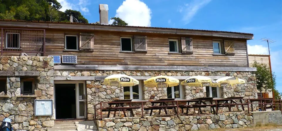
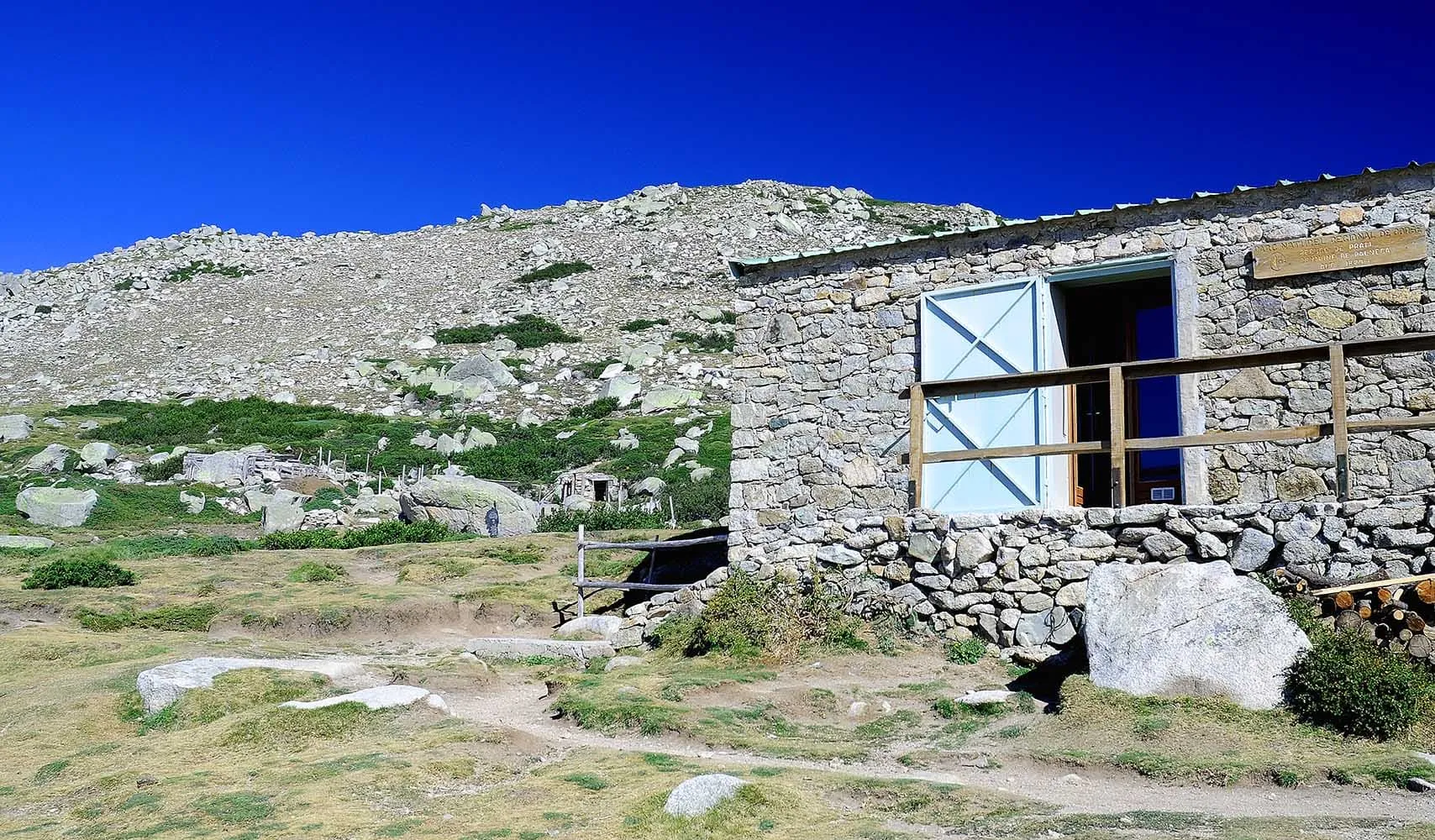
    We will arrange your accommodation on the GR20 in mountain huts. The mountain huts along the GR20 offer basic shared accommodation and food. These refuges come under the regional Corsican natural park’s authority and can host 25-50 people depending on the hut. In case the mountain huts are fully booked, we will automatically book a tent for you. In Refuge d'Ortu di u Piobbu, you will spend the night in a tent in all cases.

  • Navigation support

    Our trekking app also includes built-in navigation support. With GPS-based maps and offline access, you can follow the trail confidently and stay on route even without mobile signal.

Excluded

  • Traveling to and from

    You have to make your own way to the starting point. The total amount does not include personal transport.

  • Transfers

    Should you need any form of (public) transport on location, this is not part of the trekking package. This includes the use of taxi, bus, cable cars, gondolas, ferries, etc.

  • Travel Insurance

    Your international travel insurance is your own responsibility. Discuss your itinerary with the insurance company before your trek.

  • Personal expenses

    Personal expenses on such as souvenirs, drinks, and other similar expenses are for your own account.

  • Meals

    Meals are not included in the price on the GR20 . You can get something to eat at the mountain huts along the way or you can get food from the towns below the trail. If you want to have a warm dinner at the hut, remember to ask for it as soon as you get to the hut.

FAQ

  • What Is the Best Season for the GR20 on Corsica?

  • How to Get To the Starting Point of the Trek

  • .

  • What if the dates I want are not available?

  • If I book now, can I immediately arrange the rest of my trip?

  • How do I know if this trek is right for me?

How to Book

  • Booking

  • Availability

  • Cancellation policy

Reviews

Reviews