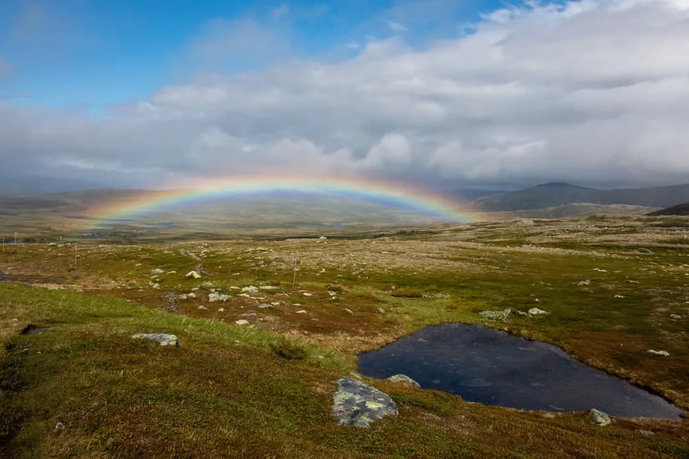
Höga Kusten Trail

Duration: 9 days
Trails: T2 trails
Distance: More than 20 km per day
Ascent per day: 500 - 1000 m ascent per day

> Hike one of Sweden's Signature Hiking Trails in a World Heritage Site
> Enjoy the best views and trails along the Baltic coast
> Relax in comfortable accommodation before and after the trek

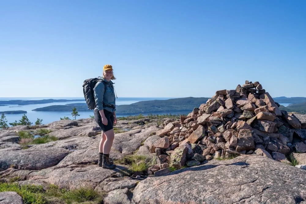
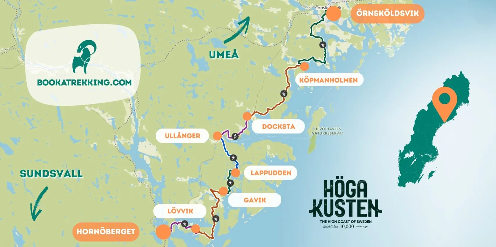
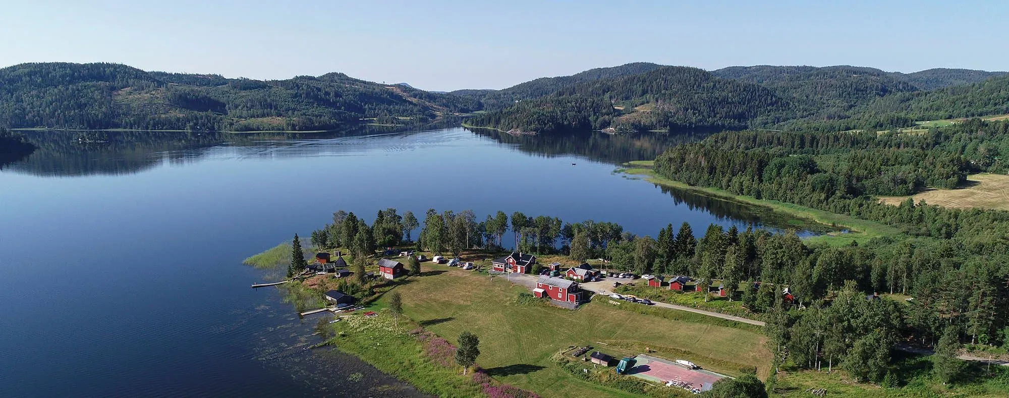
The Höga Kusten Trail is a 9-day, 7-stage adventure for hikers who are used to long walks and have previous trekking experience. This trail takes you through Sweden's UNESCO-listed Höga Kusten, with its dramatic cliffs, lush forests and panoramic views of the Baltic Sea. At times you will find yourself up to 250 metres above sea level. Nowhere else in Sweden can you hike so close to the sea at this altitude!

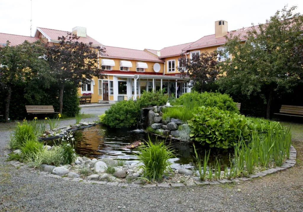
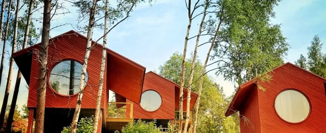
Accommodation is in traditional Swedish cabins, guesthouses and hotels, ensuring comfort after each day's trek. For your convenience, we've also arranged accommodation before and after the trek, so you can refuel and relax.

The varied terrain, from rugged coastal paths to steep forest trails, allows you to discover the natural beauty of Sweden's east coast. A unique opportunity if you are looking for an exciting and rewarding challenge in an area rich in flora and fauna. Deep forests, rugged coastlines, lookouts, cobbled fields, sandy beaches, nature reserves and more!

Itinerary

Day
1

Arrival day

Welcome to Sweden! Once in Hornöberget, get ready for an unforgettable adventure through the stunning Höga Kusten Trail. With dramatic coastal views and rugged landscapes, this is the perfect start to your trek!

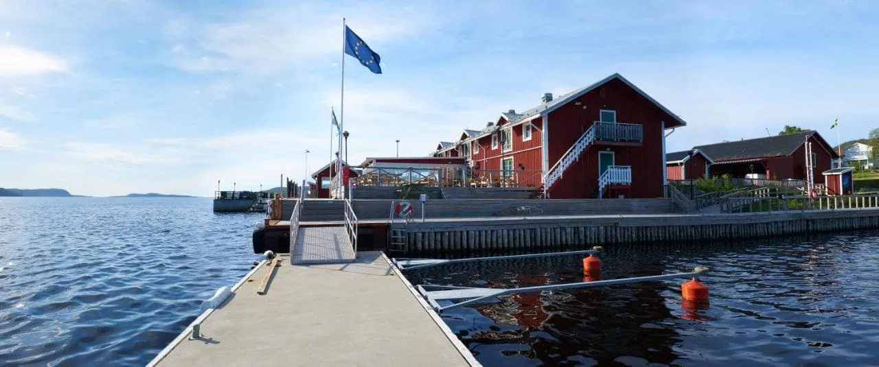
Hotell Höga Kusten (Hornöberget)

Info
Hotell Höga Kusten (Hornöberget)
Day
2

Hornöberget - Lövvik

Duration: 03:15 h
Distance: 11.7 km
Ascent: 200 m
Descent: 250 m

The first stage is a relatively easy start, offering walkers stunning views of the coastline. You'll pass through lush forests, rocky paths and open spaces with panoramic views of the Baltic Sea. The trail is well signposted with several sections leading to stunning viewpoints, places to rest and fill your bottle with fresh, clean water. Ideal for warming up, this stage offers a mix of gentle climbs and comfortable walking terrain.

The trail passes under the High Coastal Bridge and follows the old coastal road from Hornöberget to Nyadal via Lövviksbron Bridge. You then cross Svartnorasundet to Svartnoranäset and continue over a few mountain peaks before reaching Lövvik. After 9 km you will come to an art installation called "The Edge". A perfect opportunity to take some photos and enjoy the view. It's only a few kilometres to your accommodation, now you can rest!

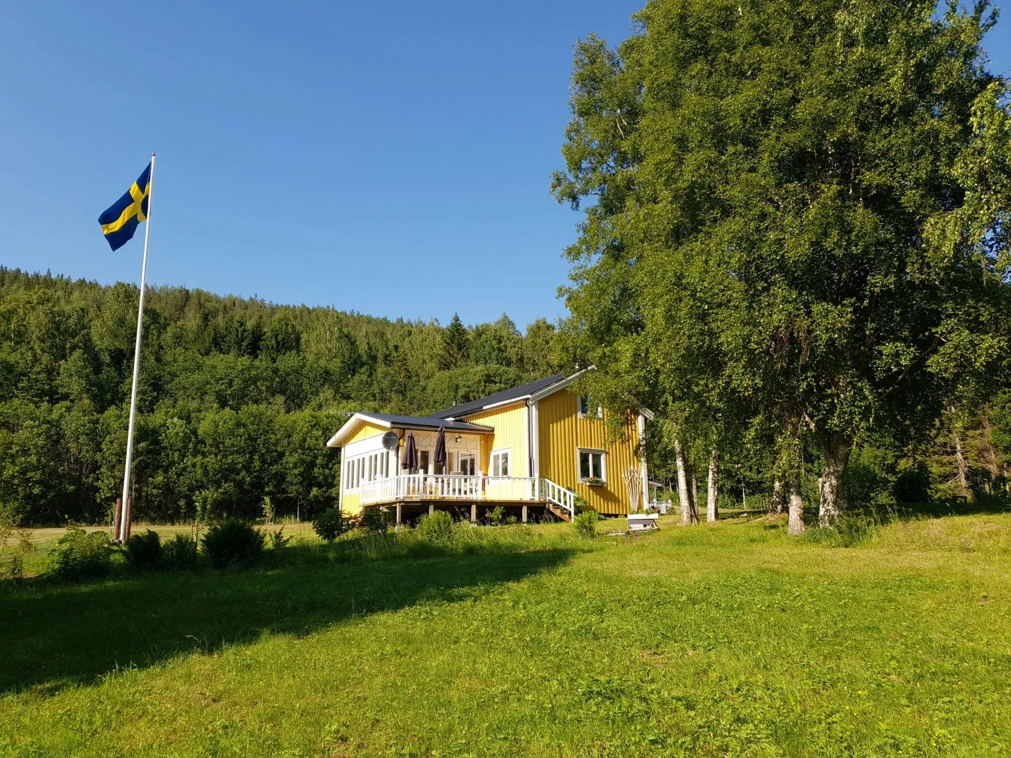
Sjöbodsviken Lövvik (Lövvik)

Info
Sjöbodsviken Lövvik (Lövvik)
Day
3

Lövvik - Gavik

Duration: 07:30 h
Distance: 27 km
Ascent: 560 m
Descent: 530 m

This is a longer, more challenging stage that takes you through coastal woodland, meadows and along the rugged coastline. As you progress, you'll walk over rolling hills and valleys with occasional climbs to dramatic views of the Baltic Sea.

There are several scenic spots along the way where you can take a break and enjoy the peaceful surroundings. The stage is more physically challenging, with beautiful wooded sections and views of the surrounding islands. Your accommodation awaits you in Gavik. Here you can recharge your batteries for the next stage.

GaviksTorpets B&B (Gavik)

Info
GaviksTorpets B&B (Gavik)
Day
4

Gavik - Lappudden

Duration: 02:35 h
Distance: 9.5 km
Ascent: 140 m
Descent: 180 m

This stage is a pleasant, moderate walk on easy paths, mostly on gravel roads. The route takes you to the stunning Lappudden, which sits at the tip of a peninsula that extends into Vågsfjärden lake. This freshwater lake, formed by the continual uplifting of the land, is an excellent place to relax. Although it has been freshwater for over 150 years and the surface is just over a metre above sea level, it still supports crustaceans typically found in brackish water - life in the water still bears witness to the past.

Continue along this delightful route and halfway you will find the Mädans mini-museum, built by the locals. The area around Lappudden is beautiful and peaceful, perfect for an overnight stay before continuing your trek the next day.

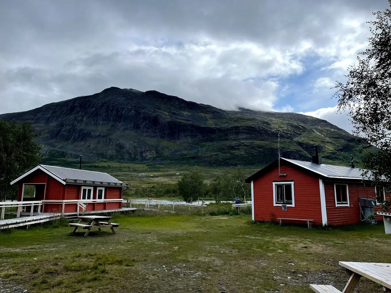
Lappuddens Friluftscenter (Lappudden)

Info
Lappuddens Friluftscenter (Lappudden)
Day
5

Lappudden - Ullånger

Duration: 04:15 h
Distance: 14.7 km
Ascent: 370 m
Descent: 370 m

This is a relatively easy and scenic stage, starting with a gentle climb and short descent for the first 2-4 km. The rest of the route is mostly flat and passes by beautiful lakes such as Vedasjön, Svartsjön and Östansjösjön, giving you plenty of opportunities to admire the view or take photographs. Lake Högforstjärn is also a wonderful place for a short break, as it is a unique, secluded and magical place.

Leaving the lake area behind, you begin to walk up to the highest point of today (217 m) before descending to Ullånger, the end of the stage. Ullånger is a charming village where your accommodation awaits you to relax after a rewarding day's walking.

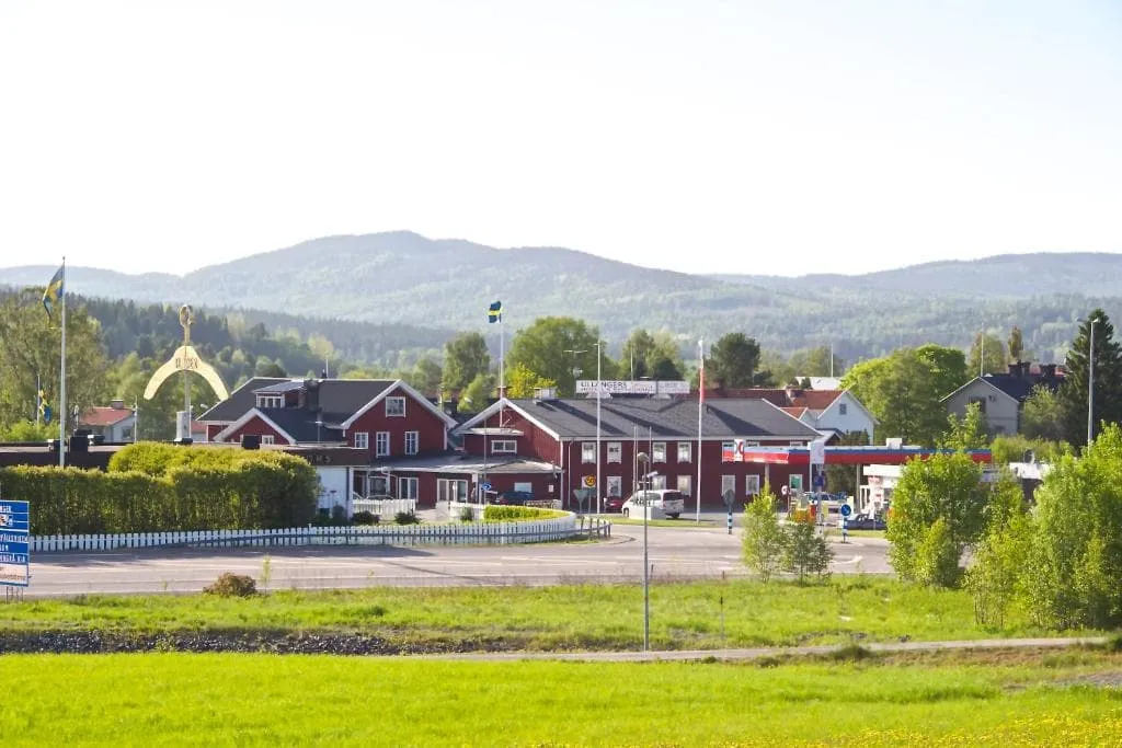
Ullångers Hotell & Restaurang (Ullånger)

Info
Ullångers Hotell & Restaurang (Ullånger)
Day
6

Ullånger - Docksta

Duration: 04:15 h
Distance: 14.6 km
Ascent: 340 m
Descent: 340 m

Today you start with a short but steep climb from Ullånger to the beautiful Mäjasjöns Fäbodar, an old farmstead with buildings moved and restored from different parts of the region. These charming structures give you a sense of the area's cultural heritage.

Halfway along the stage is the" Halfway Höga Kustenleden pole", which shows the same distance on both sides. The trail then continues parallel to the old coastal road with stunning views of the surrounding countryside.

As you continue towards Docksta, you'll walk through a variety of landscapes until you reach the village, where you'll pass several public, unstaffed huts, shelters and toilets. When you see a historic church, you are close to Docksta, the end of today's stage!

Tip: At km 10, you can take an optional short climb to the top of Fäberget lookout (197 m), a 1.5 km hike that rewards you with breathtaking panoramic views of the coastline. Well worth the climb!

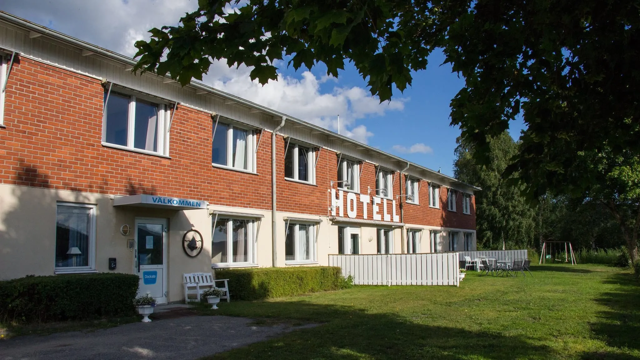
Docksta Hotell (Docksta)

Info
Docksta Hotell (Docksta)
Day
7

Docksta - Köpmanholmen

Duration: 07:35 h
Distance: 26.7 km
Ascent: 490 m
Descent: 500 m

This challenging section of the Höga Kusten trail takes you through Skuleskogen National Park and its rugged terrain. From Docksta, the trail descends to Veåsand, where the ups and downs begin. After a bit more walking, you'll reach Entré Syd, the southern entrance to the park. As is often the case here, you'll have to walk across fields of stones and boulders that were once sea walls! These are usually short and manageable stretches, but a bit difficult and uncomfortable to walk on.

Soon you'll come to a troll gate, where you'll pass under a huge boulder. This is followed by a beautiful gorge, Slåttdalsskrevan, which for safety reasons you shouldn't walk directly through, but you can walk around it to get to some nice viewpoints for great photo opportunities. Then comes the highest point of the trail at 257 metres, from where you can enjoy a beautiful view of the Baltic Sea and its islets. On the way down you will come across more fields of clapperstone.

At the crossroads take the path to the left, which is an easy but steep descent along Lake Tärnättvattnen, a very pretty lake with marshland and a picturesque wooden boardwalk. The trail continues through the park, past the small community of Näske, before arriving at your destination, Köpmanholmen, the perfect place to rest after a long and rewarding day's walking.

Optional: Climb to Getsvedjeberget, a relatively short but steep climb where you'll find your own "pulpit" with an impressive view.

Kajkanten Restaurang B&B (Köpmanholmen)

Info
Kajkanten Restaurang B&B (Köpmanholmen)
Day
8

Köpmanholmen - Örnsköldsvik

Duration: 08:30 h
Distance: 30.7 km
Ascent: 550 m
Descent: 540 m

The final section of the Höga Kusten Trail is a really long stage that takes you through the stunning Balesudden Nature Reserve, a protected area established in 1985. The trail winds through hilly terrain, starting in dense spruce forests and giving way to open mountain plateaus above 150m.

Continuing through the reserve, the trail follows a gravel road along Bäckfjärden from the car park at Sandlågan, through the village of Bäck and up over the Vitsjö massif. After leaving Hamptjärn lake behind, you reach Svedjeholmen, from where the trail descends through the village and crosses the Moälven River over a bridge to reach the town centre and end your walk. Welcome to Örnsköldsvik! Now relax and celebrate the end of your adventurous journey along the Höga Kusten trail.

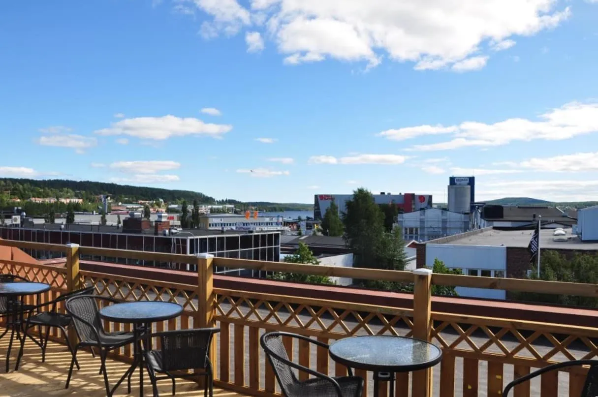
Strand City Hotel (Örnsköldsvik)

Info
Strand City Hotel (Örnsköldsvik)
Day
9

Departure day

After checking out of your accommodation, you can explore the town or move on to your next destination. Whether you return home or continue your adventure, you'll leave with unforgettable memories of your Höga Kusten Trail adventure. See you soon on the trails!

Included

  • Accommodation

    We will arrange your accommodation on the Höga Kusten Trail in hotels, inns, and guesthouses. Accommodation will be private in single, double or twin rooms and with en-suite bathroom where possible.

  • Full travel guide

    You’ll receive access to our trekking app, which serves as your complete digital travel guide for the Höga Kusten Trail. Inside, you’ll find everything you need for your trek: route descriptions, hiking maps, navigation support, payment information, and all the key details specific to your journey.

  • Navigation support

    Our trekking app also includes built-in navigation support. With GPS-based maps and offline access, you can follow the trail confidently and stay on route even without mobile signal.

  • Accommodation before and after the tour

    Accommodation before and after the trek is included. Breakfast is, if possible, part of your stay.

Excluded

  • Traveling to and from

    You have to make your own way to the starting point. The total amount does not include personal transport. This also applies to any transport from the end point of your trail.

  • Travel Insurance

    Your international travel insurance is your own responsibility. Discuss your itinerary with the insurance company before your trek.

  • Meals

    Meals are not included in the price on the Höga Kusten Trail unless otherwise indicated in the inclusive list. Along the way, there are several places to stock up on food and restaurants that lend themselves to a delicious lunch or dinner. These locations are indicated in our travel guide.

FAQ

  • How to Get To the Starting Point of the Höga Kusten Trail

  • End point: Örnsköldsvik

  • What if the dates I want are not available?

  • If I book now, can I immediately arrange the rest of my trip?

  • How do I know if this trek is right for me?

How to Book

  • Booking

  • Availability

  • Cancellation policy