Intermediate Aosta Trail

Duration: 7 days
Trails: T3 trails
Distance: 0 - 10 km per day
Ascent per day: 500 - 1000 m ascent per day

> Discover the hidden gems of the Italian Alps in 6 scenic stages
> Stay in welcoming mountain huts and a hotel in Cogne
> Alpine lakes, historic passes, and wild valleys await

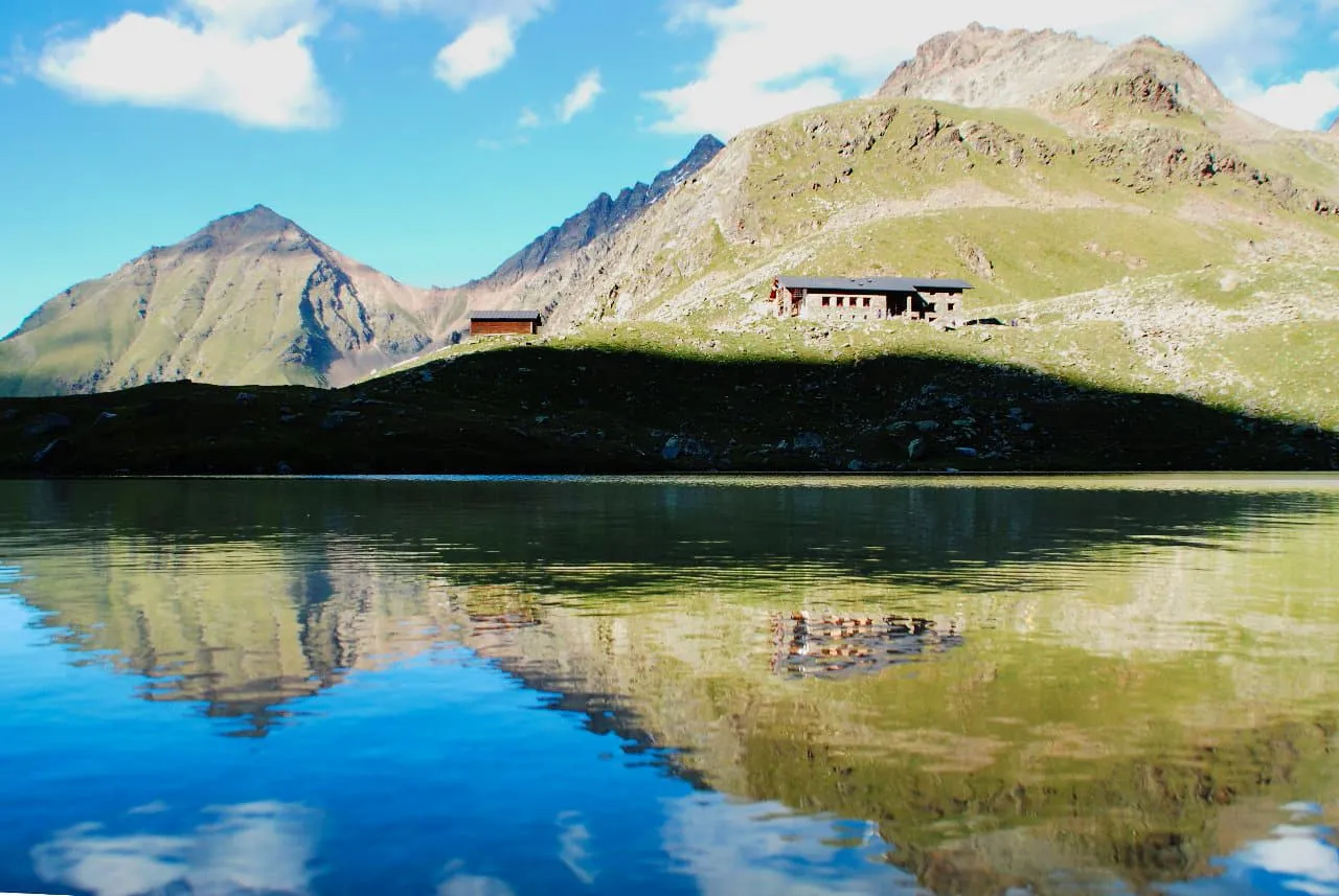
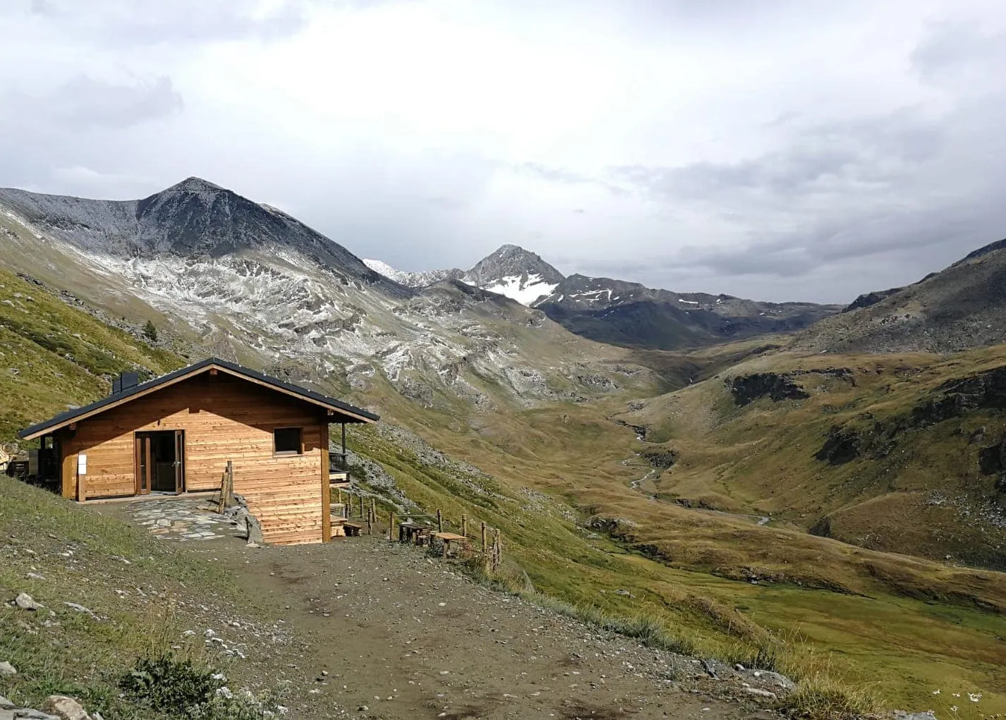
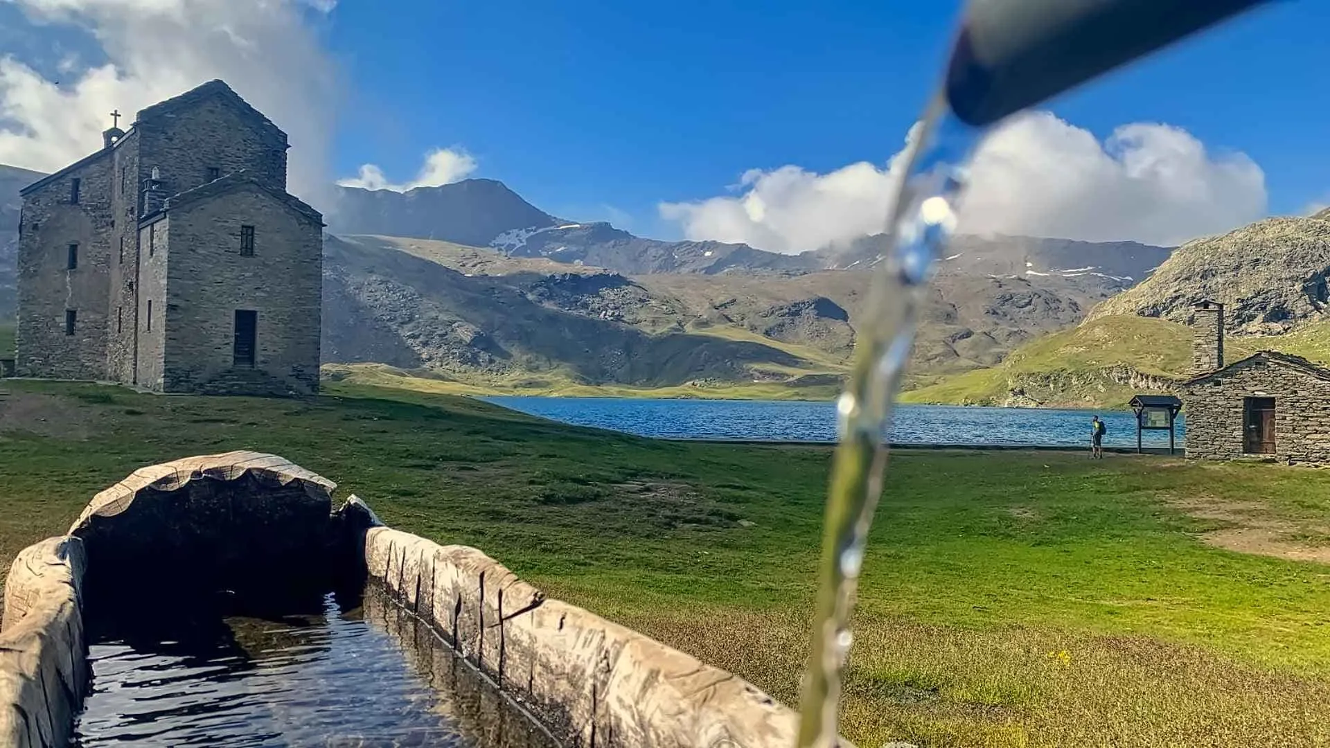
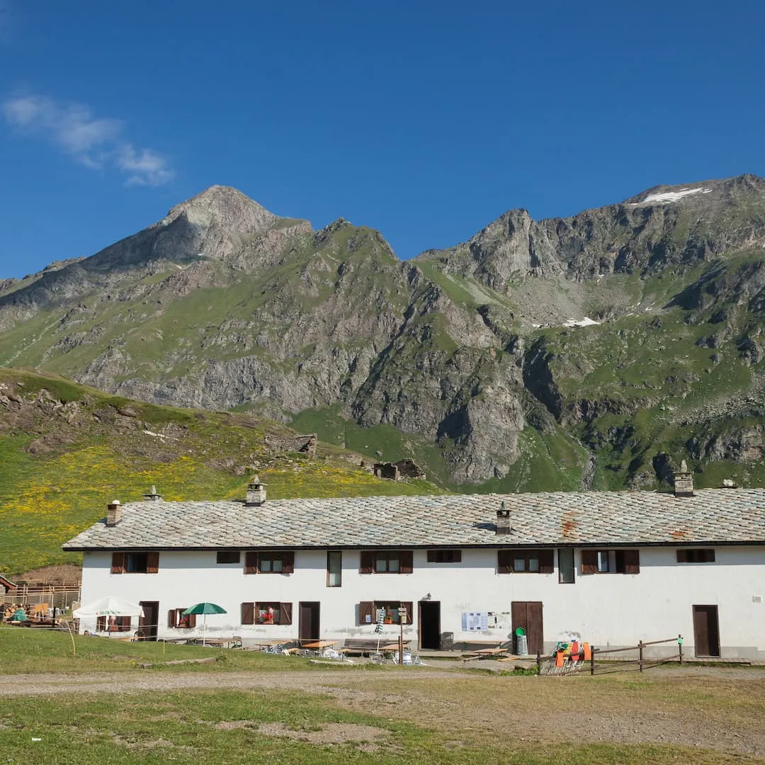
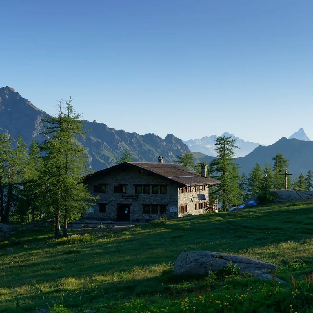
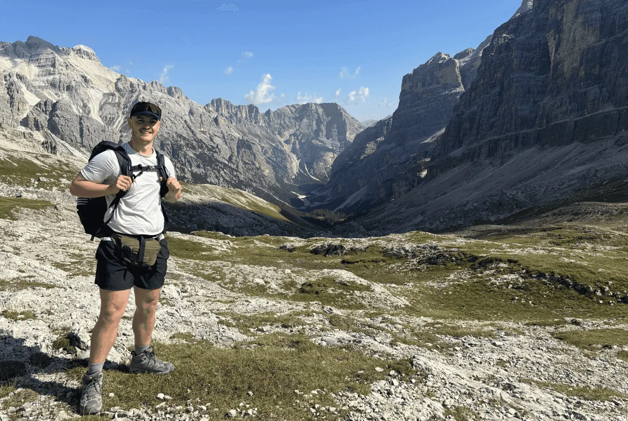
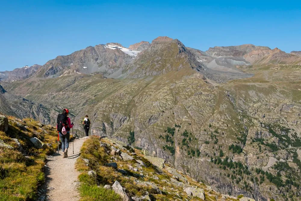
The Intermediate Aosta Trail is a 7-day hut-to-hut trekking adventure through the lesser-known corners of Italy’s Aosta Valley. Starting and ending in the mountains above Aosta, the route leads through remote valleys and across panoramic ridges, connecting classic alpine huts and a charming hotel stay in Cogne.

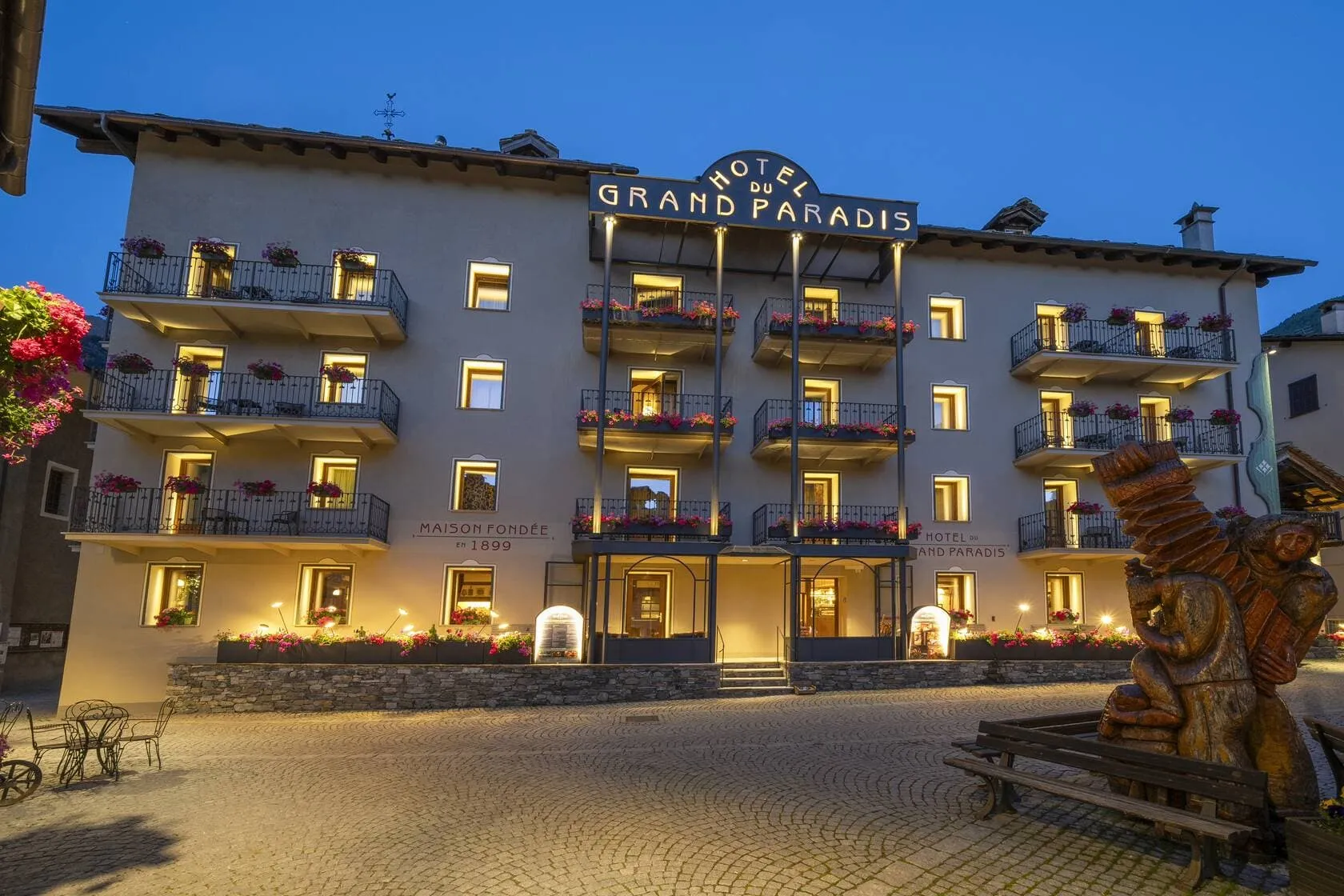
You’ll hike from Rifugio Arbolle to Rifugio Barbustel via Rifugio Grauson, Rifugio Miserin, and Rifugio Dondena, with a restful night at Hotel du Grand Paradis in Cogne mid-way. Expect moderate distances, steady climbs, and ever-changing views — from glacier-carved valleys to high mountain lakes. It’s a rich and varied trek perfect for hikers with some experience and a love for alpine scenery.

Itinerary

Day
1

Les Fleurs Dessus Station - Rifugio Arbolle

Duration: 04:40 h
Distance: 8 km
Ascent: 1280 m
Descent: 150 m

High above Aosta, the day begins amid larch woods and ski slopes that feel very different without snow. Soon, the path leaves the ski lifts behind and heads into quieter terrain, with the imposing peak of Mont Emilius (3,559 m) looming in the distance. Meadows, lakes and a hanging valley follow one another in succession, offering views stretching from the Grand Combin to the distant Mont Blanc massif. By evening, you will arrive at a small stone hut perched beside a mountain lake.

From the Les Fleurs lift station, a flat track winds its way through the forest and across open pastures, passing farm buildings. After Saint-Pantaléon, you begin a long ascent, eventually reaching Eremo di San Grato/Ermitage de Saint-Grat: a tiny chapel nestled in a forest clearing. Above the treeline, you can enjoy views of the Matterhorn as the path leads towards Alpe Chamolé and the serene Lac Chamolé, which is surrounded by grass and rock. A steeper, zigzagging climb will lead you to the panoramic Col de Chamolé (2,649 m). Time for a well-deserved break!

Shortly afterwards, the ground suddenly drops into the wild Comboé basin, with a roped section crossing slabs and rubble, revealing a barren landscape. Eventually, the slope eases and you reach pastures, a wooden bridge and a cluster of stone buildings beside the turquoise Lago d’Arbole. The hut is located on a terrace offering views of the Monte Emilius ridge above and the distant Aosta Valley below. Once you have taken off your boots, you can enjoy the sunset.

Rifugio Arbolle

Info
Rifugio Arbolle
Rifugio Arbolle
Day
2

Rifugio Arbolle - Cogne

Duration: 04:40 h
Distance: 10 km
Ascent: 300 m
Descent: 1290 m

This stage begins with a descent from the high basin surrounding the Arbolle Hut into the expansive Cogne Valley. The day begins amid bare slopes and turquoise water, gradually replacing rock with grass and finally larch forest. As you descend, Mont Emilius recedes behind you while the pastures and villages of the main valley grow closer with each turn of the path.

The route starts with a short climb above the lake to Garin Pass (2,772 m), followed by a descent into a rocky valley carved by streams. A balcony path then leads you past scenic viewpoints and the pleasant spot of Alpe Arpisson, where you can recharge. The descent soon steepens, zigzagging beside torrents and waterfalls as you quickly lose height. Further down, the terrain softens into meadows and larch woods, where the trail emerges into civilisation and crosses the Grand Eyvia River.

Chapels, stone houses and wooden balconies signal your approach to Cogne. The final stretch takes you through the village to your accommodation, with fountains, cafés, and small shops never far away. Once you have settled in, you can look back at the high cirque above.

Hotel Du Grand Paradis (Cogne)

Info
Hotel Du Grand Paradis (Cogne)
Day
3

Cogne - Rifugio Grauson

Duration: 04:00 h
Distance: 8.5 km
Ascent: 960 m
Descent: 10 m

Leaving the streets and meadows of Cogne behind, this route heads straight into the secluded upper Grauson Valley. Initially, the route is gentle, following riverside paths and farm tracks through scattered larch trees. Gradually, however, the valley narrows and the surrounding peaks become higher and steeper. By the time you reach the stone buildings of Rifugio Grauson, you are once again in high mountain country, surrounded by waterfalls, cliffs, and expansive pastures.

Starting from the village centre, follow the easy uphill lanes offering views of Cogne and Gran Paradiso, then pick up the path above the Torrente Grauson. As you continue, the woods will begin to thin, opening up views towards Monte Creya (3,015 m) and the surrounding ridges. After crossing a bridge next to Encloseur, the trail climbs steadily through pastures and alongside waterfalls. The path continues at a comfortable gradient, always close to the rushing water below.

Further up, the route opens out into pastures dotted with boulders and summer farms. A final series of turns leads to a small plateau where the refuge sits on a grassy shelf, offering the chance to experience the quieter rhythm of life in the high Alps.

Rifugio Grauson

Info
Rifugio Grauson
Rifugio Grauson
Day
4

Rifugio Grauson - Rifugio Miserin

Duration: 06:00 h
Distance: 14.2 km
Ascent: 750 m
Descent: 680 m

Leaving the high pastures around the refuge behind, this stage passes through several wild basins. It then rises towards the head of the Grauson Valley, where rocky ridges and small tarns lie beneath the long ridge surrounding Punta Tersiva (3,512 m). After crossing a high, windswept pass, the landscape changes completely. Ahead lies a broad glacial bowl, sparkling with Lago Miserin in a hollow of pale rock and grass where tonight's mountain hut awaits.

The narrow path then descends briefly, offering wide views, before gradually ascending upstream alongside the Torrent Grauson. From the Pralognan area, you hike through gently rising meadows, passing scattered stone barns. Soon, the trail steepens over rougher terrain and enters a hanging valley guarded by cliffs. A series of terraces leads past the Laghi Doreire, a series of small alpine lakes, towards the Passo dell'Invergneux (2,902 m). This rocky pass briefly takes you onto a broken plateau, which offers wide views of ridges and distant glaciers. Just beautiful! From the top, the route drops into a basin via steep gravel paths scattered with boulders, followed by gentler slopes.

Not far from Lago di Ponton, you ascend briefly to reach the Fenêtre de Champorcher (2,827 m) pass, where you can admire the Gran Paradiso while enjoying a well-deserved rest. The final downhill section begins towards the Miserin basin, where the ground softens underfoot. Once you reach the small Lago Nero, the path curves along the shoreline towards Lago del Miserin, where a small chapel and a cluster of buildings appear. The refuge is located just above, and its terrace offers stunning views of the lake and the surrounding peaks. Well done, time to relax!

Rifugio Miserin

Info
Rifugio Miserin
Rifugio Miserin
Day
5

Rifugio Miserin - Rifugio Dondena

Duration: 03:35 h
Distance: 9.7 km
Ascent: 190 m
Descent: 580 m

After tackling the major passes, this stage from the peaceful shores of Lago Miserin feels like a gentle release of breath. As the trail winds out of the basin, the small chapel and surrounding peaks gradually disappear from view. After a short ascent, you reach a wide balcony overlooking the valley. The rest of the day involves a relaxed wander downhill through open pastures and quiet side valleys, with Monte Rascias (2,783 m) and Monte Dondena (2,543 m) providing a picturesque backdrop.

First, the path circles above the lake, then it rises gently across grassy slopes towards a broad shoulder dotted with boulders next to Lago Pontonnet, passing between Lago Nero and Lago Bianco. From here, you follow old shepherd paths down in a series of zigzags, passing ruins, water channels and small streams sparkling in the sun. The descent gradually steepens, but the trail remains clear as it traverses meadows and rocky outcrops. With each bend, new views of the Champorcher Valley open up.

Lower down, the route eases into wider pastures where cows graze around weathered barns. A final contour brings you to the grassy terrace of Rifugio Dondena, which is nestled above the valley floor. It's the perfect place to relax, enjoy a drink, and recharge your batteries for the next day.

Rifugio Dondena

Info
Rifugio Dondena
Rifugio Dondena
Day
6

Rifugio Dondena - Rifugio Barbustel

Duration: 03:50 h
Distance: 8.5 km
Ascent: 540 m
Descent: 530 m

This stage leaves the wide pastures around the hut behind and takes you close to the area surrounding Mont Avic (3,007 m). After an easy start alongside tracks and streams, the route steepens, leading you along paths high above the valley. The higher you climb, the better the views become, with Bec Barmasse (2,302 m) and the distant Gran Paradiso group coming into view. Later in the day, the terrain softens again, leading you to your refuge on a hanging plateau dotted with dark lakes and towering peaks.

From the Dondena Hut, follow the track across the meadows and cross the stream near the majestic Chapel of Notre Dame de la Neige. The path then climbs steadily across open hillsides, passing Lago di Giasset and viewpoints overlooking the valley below, until you reach the highest point of the day at 2,378 m. Following the Giro dei Laghi track, you descend undulating terrain, passing multiple lakes, old stone ruins, and mountain torrents. Lago di Vernouille marks the beginning of a flat stretch until Lago Muffé, next to the Giardino del Cielo e del Tempo. This is the perfect place to relax and learn more about the Parco Naturale del Mont Avic.

The trail towards Barbustel steepens higher up, zigzagging as it gains altitude towards Colle del Lac Blanc (2,280 m), a rocky ridge with expansive vistas. Beyond the high point, the route descends briefly across gentle ridges with scattered boulders and isolated pines to a hut surrounded by a chain of alpine lakes, where pools of pale and dark water lie between granite slabs. Perched on a rise above the lakes, you can watch the evening light drift over Monte Avic.

Rifugio Barbustel

Info
Rifugio Barbustel
Rifugio Barbustel
Day
7

Rifugio Barbustel - Champdepraz Bivio Bus Stop

Duration: 05:10 h
Distance: 13 km
Descent: 1820 m

This stage takes you out of the tranquil lakeside basin of the Mont Avic highlands and back down into the valley. The day begins amid larches, dark water and pale granite, gradually swapping rock for forest and pasture. As you descend, the wild ridges recede behind you, revealing the Aosta Valley below. By the time you reach the road, peaks and passes will have been replaced by church towers and vineyards.

From the hut, the path first contours Lago Vallette before turning into a steady descent. It drops through larch and spruce forests, passing viewpoints overlooking Lago diReader and a wooden walkway crossing a marshy area. Further down, you wind your way between clearings, crossing small streams and passing through deep woods, leaving Monte Avic behind you. A series of zigzags then leads you down to the lower forest and the first stone houses of the valley.

Near the bottom, the trail joins a quiet lane passing barns, chapels, and clusters of houses. As you approach the main road, the sound of traffic replaces the sound of rushing water. A short walk will bring you to the bus stop, where you can rest and admire the view of the high ridges until the bus arrives. Time to plan your next adventure?

Included

  • Full travel guide

    You’ll receive access to our trekking app, which serves as your complete digital travel guide for the Aosta Valley Trek. Inside, you’ll find everything you need for your trek: route descriptions, hiking maps, navigation support, payment information, and all the key details specific to your journey.

  • Hotels, Hostels or Huts

    We arrange your accommodation on the Aosta Valley Trek in hotels, hostels, or huts along the way. If your itinerary includes mountain huts, you’ll automatically be booked in dormitory-style beds. Prefer a private room? This is possible for €75 extra per room, per night (subject to availability).

  • Half-board in Huts

    Accommodation at the huts includes dinner and breakfast. We will arrange this for you as well. This allows you to travel lighter and have one less thing to worry about. Bear in mind that lunch is not included, but it can be purchased at the huts. Here you can also buy an array of snacks and bottled water.

  • Breakfast in Hotels

    In the Hotels, we include Breakfast for you. Bear in mind that lunch and dinner are not included, but they can be most of the time purchased in or near the hotels.

  • Navigation support

    Our trekking app also includes built-in navigation support. With GPS-based maps and offline access, you can follow the trail confidently and stay on route even without mobile signal.

Excluded

  • Traveling to and from

    You have to make your own way to the starting point. The total amount does not include personal transport.

  • Transfers

    Should you need any form of (public) transport on location, this is not part of the trekking package. This includes the use of taxi, bus, cable cars, gondolas, ferries, etc.

  • Lunch

    Half-board is included in the price of this trek. Lunch, however, is not. You can get something to eat at the mountain huts along the way.

  • Travel Insurance

    Your international travel insurance is your own responsibility. Discuss your itinerary with the insurance company before your trek.

  • Personal expenses

    Personal expenses on such as souvenirs, drinks, and other similar expenses are for your own account.

FAQ

  • How to Get to the Starting Point of the Intermediate Aosta Trail?

  • How to Go From the End Point of the Intermediate Aosta Trail?

  • What if the dates I want are not available?

  • If I book now, can I immediately arrange the rest of my trip?

  • How do I know if this trek is right for me?

  • Can meals be adapted to my dietary requirements?

How to Book

  • Booking

  • Availability

  • Cancellation policy