Intermediate Aosta Valley Trek 1

Duration: 3 days
Trails: T3 trails
Distance: 0 - 10 km per day
Ascent per day: 250 - 500 m ascent per day

> Climb into the high heart of Gran Paradiso
> Stay in traditional alpine huts
> A compact adventure with steep climbs and big views

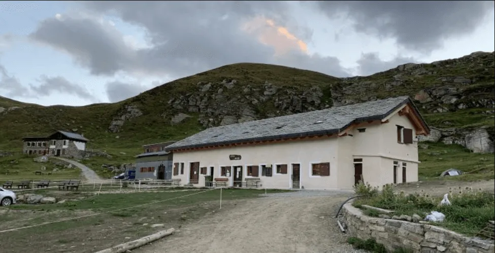
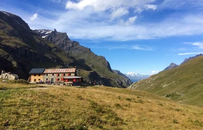
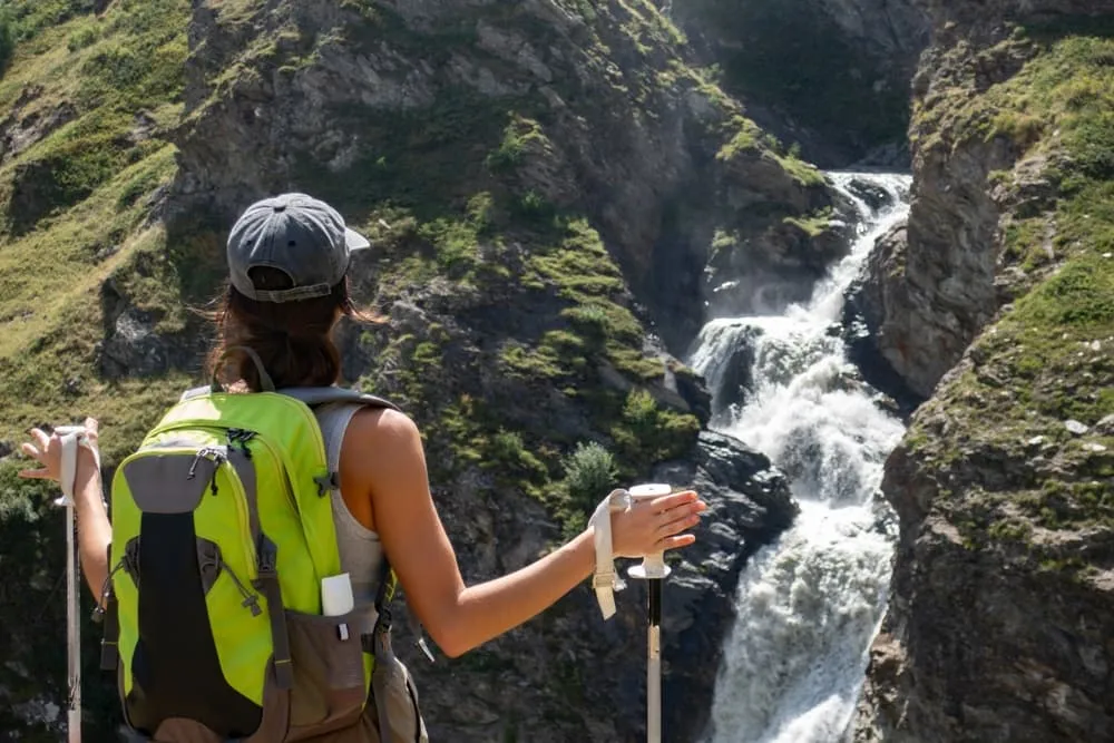
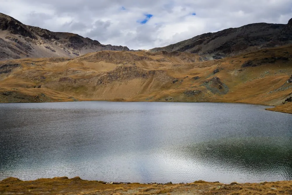
The Intermediate Aosta Valley Trek 1 is a 3-day trek designed for fit hikers who want a short but challenging escape into the Italian Alps. Starting from the dramatic surroundings of Rifugio Savoia, you’ll cross a high mountain pass to reach the scenic Vallone di Rhemes and the welcoming Rifugio Benevolo.

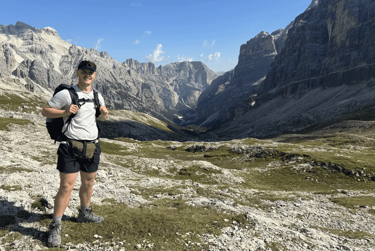
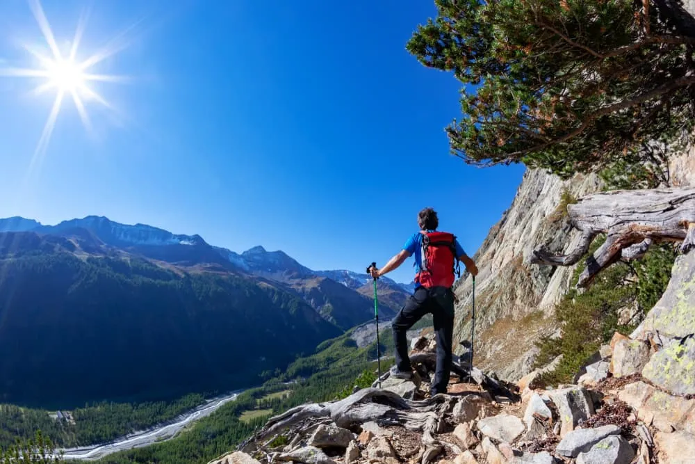
Expect rugged terrain, remote trails, and sweeping views with every step. This route is perfect for those who want an intense taste of the Gran Paradiso wilderness without committing to a full-length itinerary.

Itinerary

Day
1

Parking Le Breuil - Rifugio Savoie

Duration: 03:20 h
Distance: 8 km
Ascent: 570 m

From the car park at Le Breuil, the path leads gently into the Vallone del Nivolet, swapping the hustle and bustle of the car park for the sounds of running water and cowbells. The valley then narrows before gradually opening out onto a high plateau dotted with tarns and wide, grassy slopes. All the while, Gran Paradiso and its glaciers loom on the horizon. By the time you reach the lakes around Nivolet, you will be fully immersed in the high mountains.

Follow the clear track as you steadily ascend for a couple of kilometres until you reach Croce dell'Arolley, beside the Dora del Nivolet stream. Small waterfalls and cascades are never far away. Here, the slope steepens into zigzags that lead to wider meadows and views back over Valsavarenche. Passing stone barns and old shepherd settlements, you will soon reach the entrance to the Nivolet Valley and enjoy views of the Gran Paradiso Massif. One final push will bring you to the Nivolet plateau, where a string of lakes and marshes mirror the surrounding peaks.

The route continues easily alongside mountain streams and pools of water, passing through patches of alpine flowers, with multiple summits lining the skyline. Soon, the outline of Rifugio Savoia will appear near the Laghi del Nivolet lakes, with its stone buildings sitting just above the shoreline. Once you arrive, you can drop your backpack, fill your water bottle at the fountain and wander down to the lakeside. Evening is the perfect time to sit on the terrace and watch the light fade from the Gran Paradiso massif.

Rifugio Savoie

Info
Rifugio Savoie
Rifugio Savoie
Day
2

Rifugio Savoia - Rifugio Gian Federico Benevolo

Duration: 05:00 h
Distance: 10.5 km
Ascent: 560 m
Descent: 810 m

This stage takes you from the lakes and marshes of the high plateau to the head of the Rhêmes Valley, leaving the world of Gran Paradiso’s glaciers behind. The day begins gently, with a walk around the Rosset and Leità lakes, before becoming more challenging as you climb towards the main ridge. After reaching the summit of Colle Rosset (3,159 m), you will descend into a broad glacial valley, passing pastures, streams and waterfalls on the way to the next mountain hut.

From there, the path winds between pools and grassy ridges, following waymarks across the Nivolet plateau, offering constant views of Gran Paradiso. You will soon pass Lago Rosset and the smaller Lago Leità, whose reflective surfaces show the peaks of Punta Basei and Punta Grand Vaudala with their distant ice fields and the Basei Glacier. The trail then steepens as you climb over rock and rubble towards Colle Rosset. Here, you will find yourself straddling two valleys, enjoying wide views of the surrounding peaks. On the far side, a stony, steep path leads down into the upper Vallone di Rhêmes, gradually softening into meadows.

Further down, the route follows the stream along the valley floor, passing stone barns and grazing cows. Wooden bridges and short forest sections mark the transition back towards civilisation, though the surrounding mountains still feel close by. A final easy walk across flat pastures will bring you to Rifugio Benevolo, a building nestled beside a stream. Here, you can rest, clean your boots, and watch the evening light slide along the walls of the Rhêmes peaks.

Rifugio Benevolo

Info
Rifugio Benevolo
Rifugio Benevolo
Day
3

Rifugio Gian Federico Benevolo - Bruil (Capoluogo)

Duration: 03:10 h
Distance: 9.5 km
Ascent: 30 m
Descent: 580 m

Leaving the open basin around the hut, the route runs alongside the Dora di Rhêmes downstream towards more gentle terrain. Initially, you walk through wide pastures and rocky moraines, with the high peaks still close by. Gradually, the valley narrows and the sound of the river grows louder. By the time you reach the first clusters of trees and stone houses, the wild upper valley will feel far behind you.

The path then descends alongside the torrent, passing waterfalls, wooden bridges and small summer farms where cows graze on bright green slopes. The larches become denser and the trail alternates between soft forest paths and stony stretches near the water. You walk close to the hamlet of Thumel, continuing along riverside tracks past Pellaud and La Chaudanaz towards Bruil (Capoluogo), enjoying frequent views of the surrounding skyline. Old barns, chapels, and hay meadows give the valley a peaceful, lived-in feel.

Near the bottom of the valley, the route leaves the river and takes you briefly through pastures and scattered chalets. A final section leads you to the municipality of Rhêmes-Notre-Dame, where the stage ends with a relaxing walk. It's the perfect place to take off your boots and enjoy a quiet evening, bringing this short but sweet adventure to a close!

Included

  • Full travel guide

    You’ll receive access to our trekking app, which serves as your complete digital travel guide for the Aosta Valley Trek. Inside, you’ll find everything you need for your trek: route descriptions, hiking maps, navigation support, payment information, and all the key details specific to your journey.

  • Half-board in Huts

    Accommodation at the huts includes dinner and breakfast. We will arrange this for you as well. This allows you to travel lighter and have one less thing to worry about. Bear in mind that lunch is not included, but it can be purchased at the huts. Here you can also buy an array of snacks and bottled water.

  • Accommodation

    During your Aosta Valley Trek, you will spend your nights in mountain huts. You'll sleep here in dormitories, as the booked mountain huts don't have any private rooms.

  • Navigation support

    Our trekking app also includes built-in navigation support. With GPS-based maps and offline access, you can follow the trail confidently and stay on route even without mobile signal.

Excluded

  • Traveling to and from

    You have to make your own way to the starting point. The total amount does not include personal transport.

  • Transfers

    Should you need any form of (public) transport on location, this is not part of the trekking package. This includes the use of taxi, bus, cable cars, gondolas, ferries, etc.

  • Lunch

    Half-board is included in the price of this trek. Lunch, however, is not. You can get something to eat at the mountain huts along the way.

  • Travel Insurance

    Your international travel insurance is your own responsibility. Discuss your itinerary with the insurance company before your trek.

  • Personal expenses

    Personal expenses on such as souvenirs, drinks, and other similar expenses are for your own account.

FAQ

  • How to Get to the Starting Point of the Advanced Aosta Valley Trek?

  • How to Go From the End Point of the Advanced Aosta Valley Trek?

  • What if the dates I want are not available?

  • If I book now, can I immediately arrange the rest of my trip?

  • How do I know if this trek is right for me?

  • Can meals be adapted to my dietary requirements?

How to Book

  • Booking

  • Availability

  • Cancellation policy