> Hike the Karwendel Höhenweg from Reith to Hall
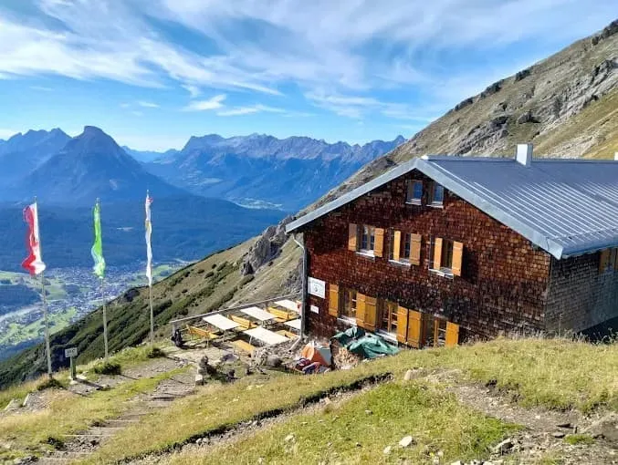
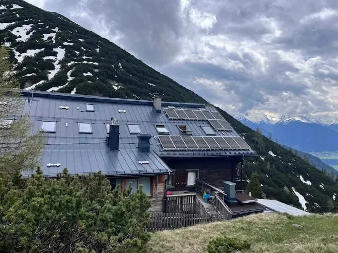
> Spend the night in classic alpine huts
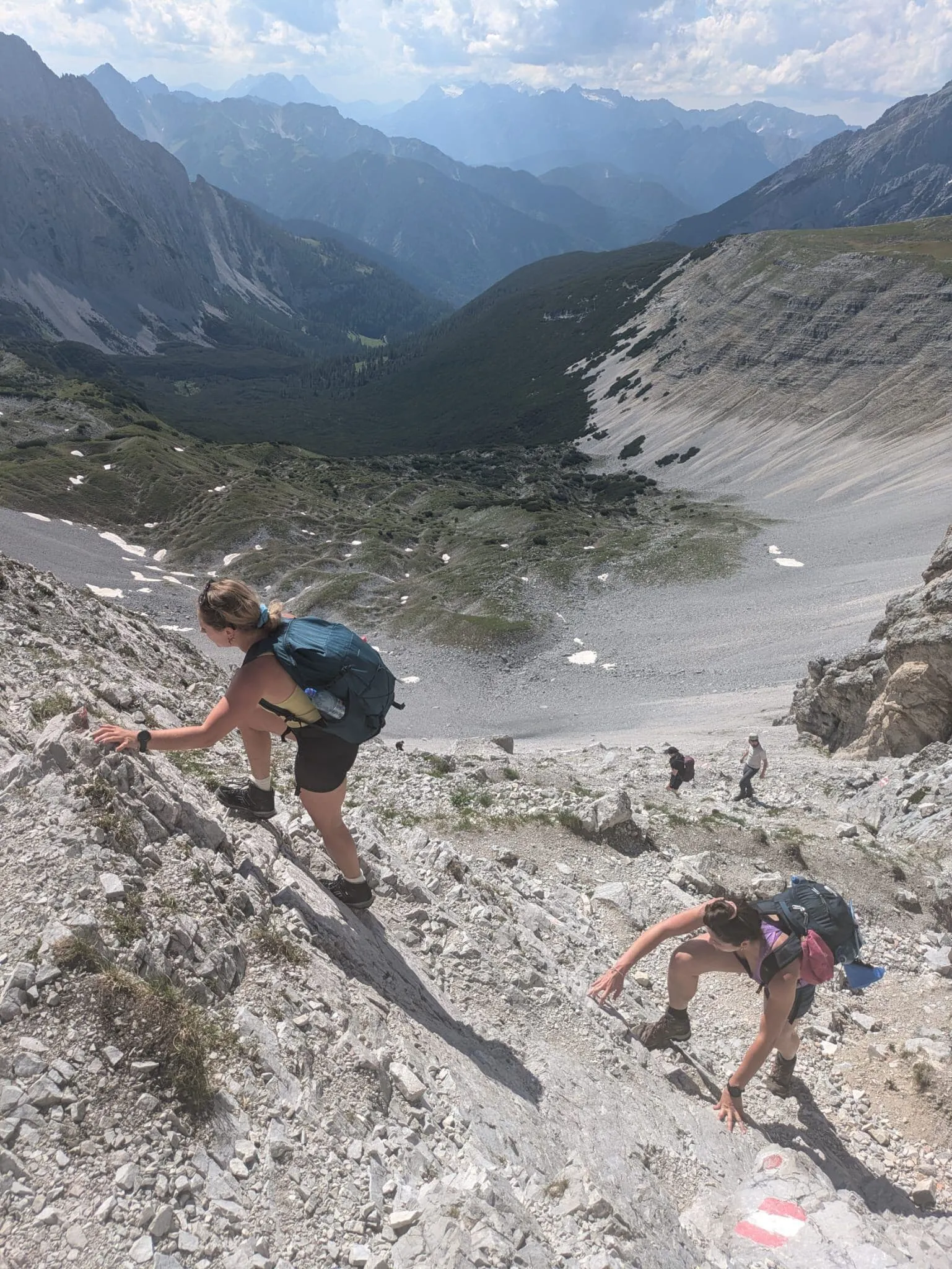
> Tackle the Schmidhuber Steig on day 3
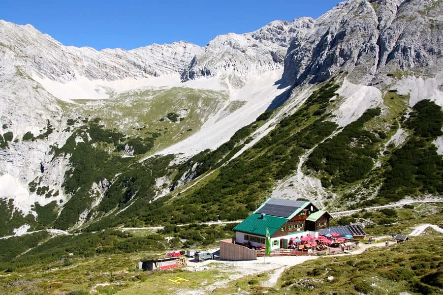
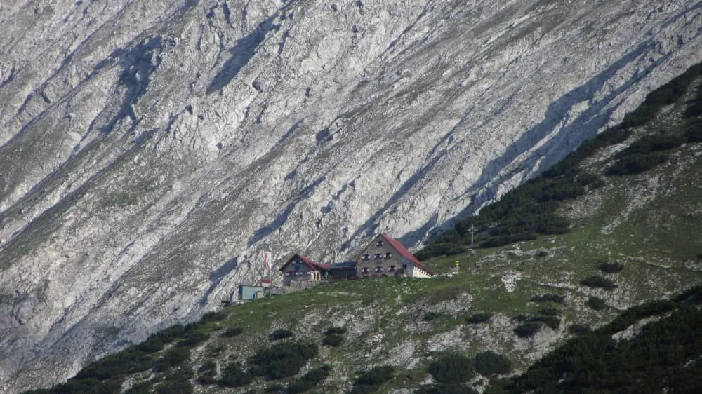
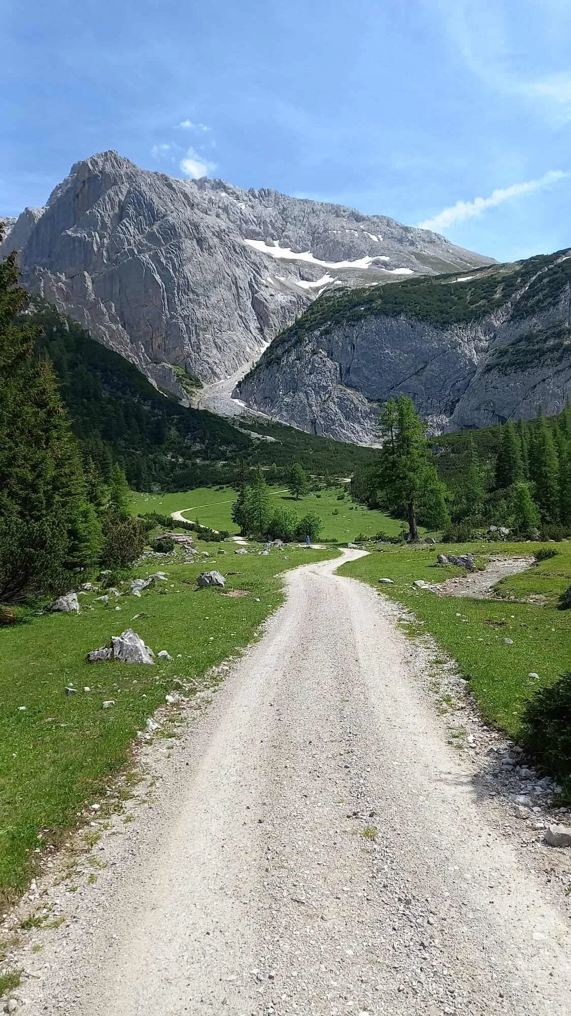
Wake up with the morning light pouring over the jagged Karwendel peaks. The Karwendel Höhenweg is a 5-day hut-to-hut hike for experienced hikers who want a true alpine challenge close to Innsbruck. This trail winds through Austria’s largest nature park, over panoramic ridges and into quiet valleys. Along the way you sleep in legendary mountain huts like Nördlinger Hütte, Pfeishütte, and Bettelwurfhütte.
The trek starts in Reith bei Seefeld and ends in the historic town of Hall in Tirol. It’s rated intermediate and includes daily sections with T3-level difficulty. Most days involve around 2-4 hours of hiking, but stage 3 stands out: a tough but rewarding stretch of over 8 hours on foot. Including the iconic Schmidhuber Steig. For those with a solid hiking base and a love for the mountains, this is one of the finest ridge walks in Austria.
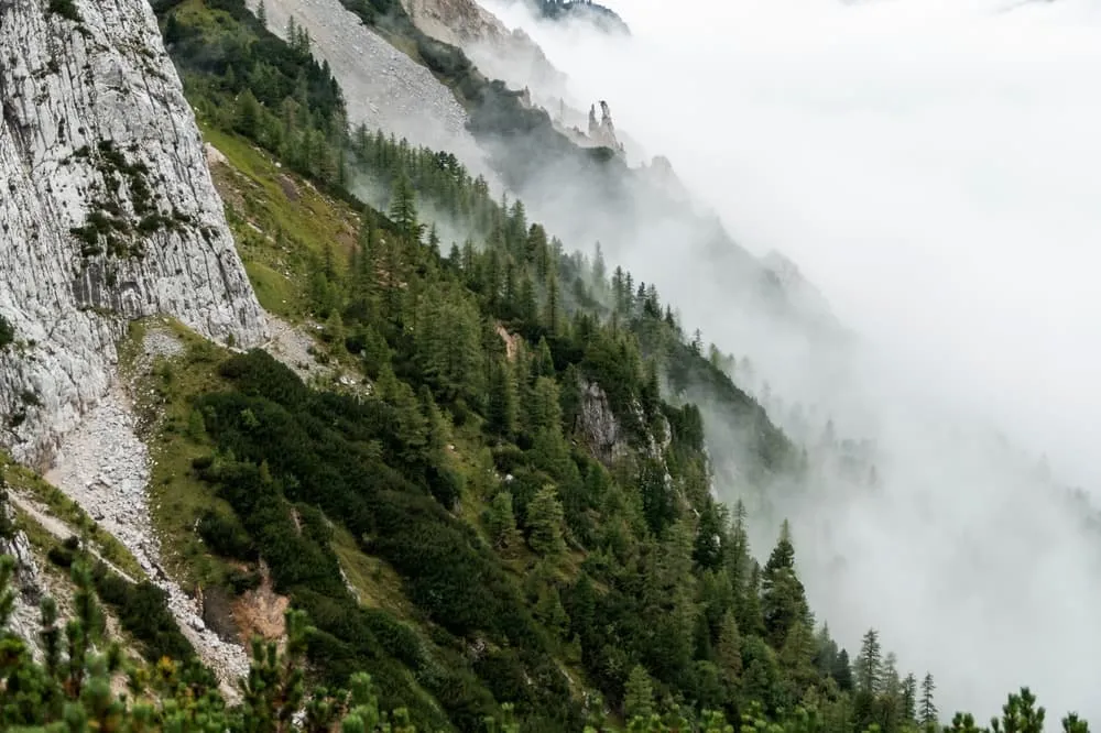
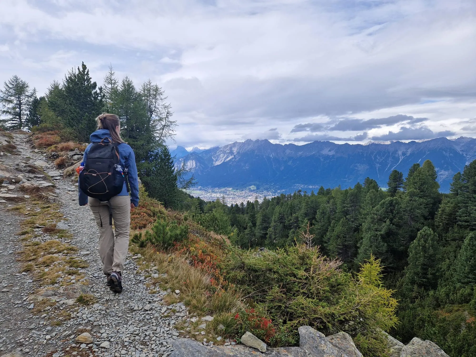
This stage begins in Reith bei Seefeld and continues steadily uphill through wooded terrain. Initially, you follow wide forest tracks, but you will soon switch to narrower mountain trails offering views of the valley and the Seefeld plateau. The route steadily gains elevation without any significant descents. After a few kilometres, you join the Panorama Trail, which is a more open section offering scenic views but little shade.
From there, the trail continues to climb gradually as you approach the Nördlinger Hütte. Along the way, you will pass landmarks such as the 'Ghost Trees'. You will reach the hut, which is located at an altitude of over 2,200 metres, at the end of a challenging first day. The consistent uphill effort is worthwhile, as are the views from the top.
Today, you will descend steeply and trickily from Nördlinger Hütte for 2 kilometres, after which the trail will level out. After dropping around 400 metres initially, the route continues along a scenic path through rocky terrain below Reither Spitze, leaving it behind, and passing the impressive Eppzirler Scharte along the way. Here, the views are wide open and you are mostly above the tree line.
After passing the saddle, you will begin a long descent through alpine pastures and scattered forests until you reach the beautifully situated Solsteinhaus, located at the foot of the 2,541-metre-high Großer Solstein peak. This stage is not very long, but it contains some steep sections and narrow trails that require focus.
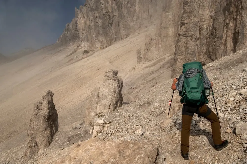
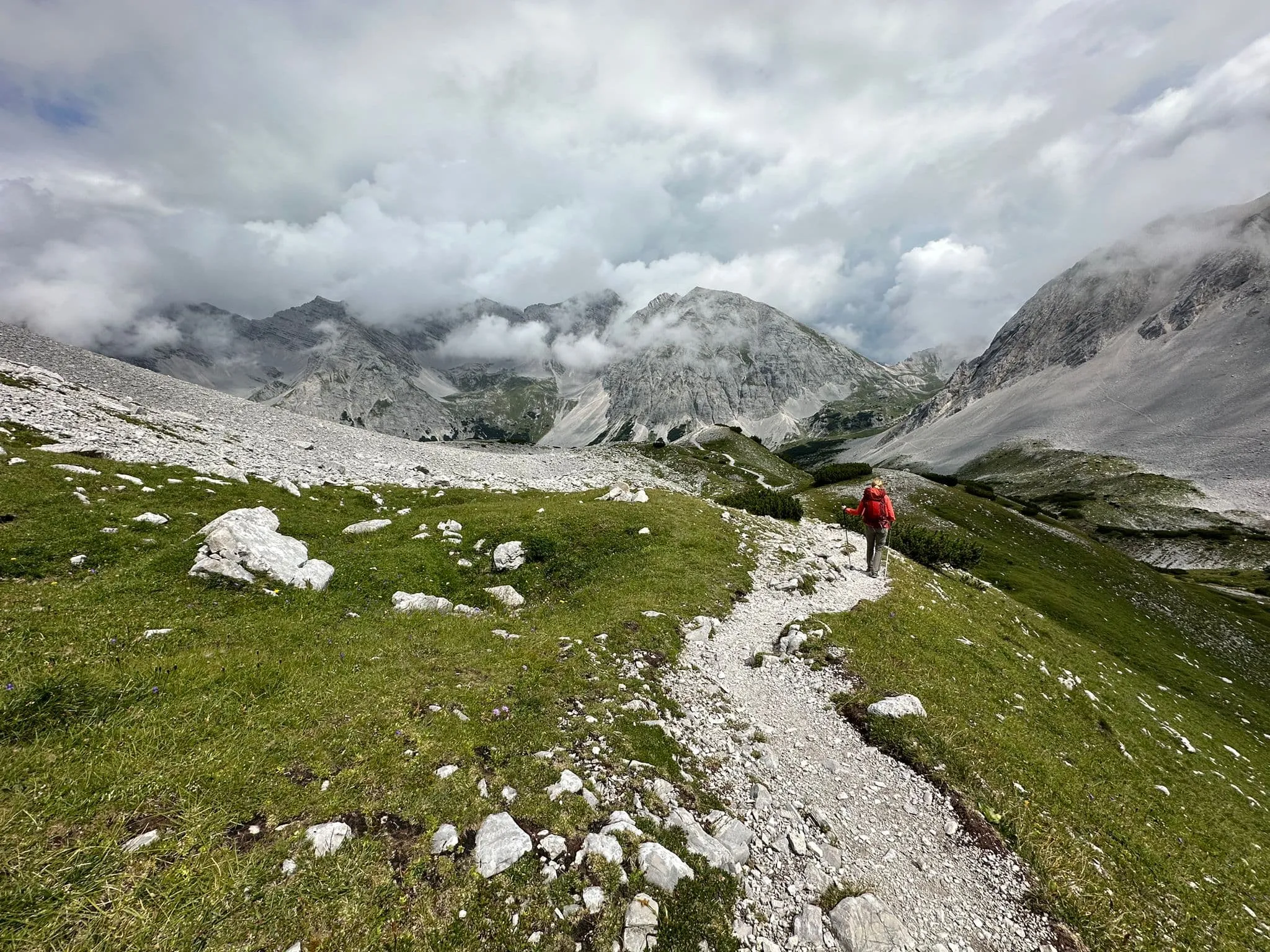
This is the longest and most challenging stage of the Karwendel Höhenweg. Starting from Solsteinhaus, it takes you on a long, high-alpine route above the treeline for most of the day. The trail takes you across rugged terrain, featuring steep climbs and challenging descents. There are also several exposed sections where sure-footedness is essential.
Throughout the day, you will pass multiple peaks and saddles, including those around the Gleirschtaler Brandjoch and Mandlscharte areas. The views from here are spectacular. After almost 8 kilometres, you will find the Schmidhuber Steig, which is suitable for more experienced hikers as it is partly exposed and partly on loose ground.
Continue enjoying the views as you walk up a steep, zigzagging slope for the final demanding ascent, after which the terrain evens out right next to the Hafelekar cable car summit station. After a few more kilometres, you will reach the final descent of the day, which will take you to Pfeishütte, your home for the night. Enjoy a well-deserved rest in a mountain hut surrounded by towering rock walls and alpine silence.
This stage starts at the Pfeishütte with a challenging 2 km climb to the 2,215 m Stempeljoch pass. This is followed by a short, steep zigzag path and a challenging, rocky descent for a few kilometres. The path then climbs steadily through a wide alpine valley, becoming steeper in the final metres towards the Lafatscher Joch. Once you reach the top, there are stunning views on both sides of the ridge.
From the saddle, the route continues through loose gravel terrain and flattens out into a long, panoramic traverse reaching the Großes and Kleines Speckkar, with their characteristic rubble carts that are common in the Karwendel Mountains. While the paths are clearly visible, you may still encounter old snowfields, so exercise caution. The final stretch to the Bettelwurfhütte is located in a dramatic cirque, surrounded by rocky cliffs. Well done!
This final stage takes you steadily downhill to the valley floor. The route follows a rocky alpine trail through high mountain terrain until you reach the tree line. Although the trail becomes easier as you descend, it remains steep and exposed in places, particularly before the Schneidergesellen-Marterl memorial on the descent into the Halltal valley.
The final kilometres follow forest and gravel paths through pine woods and past old mining relics, offering beautiful views of the Inn Valley. After a long descent of over 1,200 metres, you will arrive in Hall in Tirol, a charming historic town and the perfect place to conclude your Karwendel adventure.
You’ll receive access to our trekking app, which serves as your complete digital travel guide for the Adlerweg. Inside, you’ll find everything you need for your trek: route descriptions, hiking maps, navigation support, payment information, and all the key details specific to your journey.
During your Adlerweg, you will spend your nights in mountain huts. In the mountain huts we normally only book dormitories, but we can look into private rooms on request. If the private rooms are fully booked or not available in the hut, we automatically book a bed in dormitories for you. Please note that private rooms are more expensive and there will be an additional charge for this.
Accommodation at the huts includes dinner and breakfast. We will arrange this for you as well. This allows you to travel lighter and have one less thing to worry about. Bear in mind that lunch is not included, but it can be purchased at the huts. Here you can also buy an array of snacks and bottled water.
Our trekking app also includes built-in navigation support. With GPS-based maps and offline access, you can follow the trail confidently and stay on route even without mobile signal.
You have to make your own way to the starting point. The total amount does not include personal transport.
Should you need any form of (public) transport on location, this is not part of the trekking package. This includes the use of taxi, bus, cable cars, gondolas, ferries, etc.
Half-board is included in the price of this trek. Lunch, however, is not. You can get something to eat at the mountain huts along the way.
Your international travel insurance is your own responsibility. Discuss your itinerary with the insurance company before your trek.
Personal expenses on such as souvenirs, drinks, and other similar expenses are for your own account.