Jämtland Triangle Trail - Accommodation Before and After Included

Duration: 5 days
Trails: T2 trails
Distance: 15 - 20 km per day
Ascent per day: 250 - 500 m ascent per day

> Experience Sweden’s most iconic hut-to-hut hiking route
> Discover the cultural heritage of Sámi reindeer herding territory

> Enjoy the comfort of accommodation before and after the trek

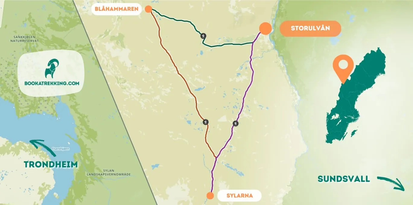
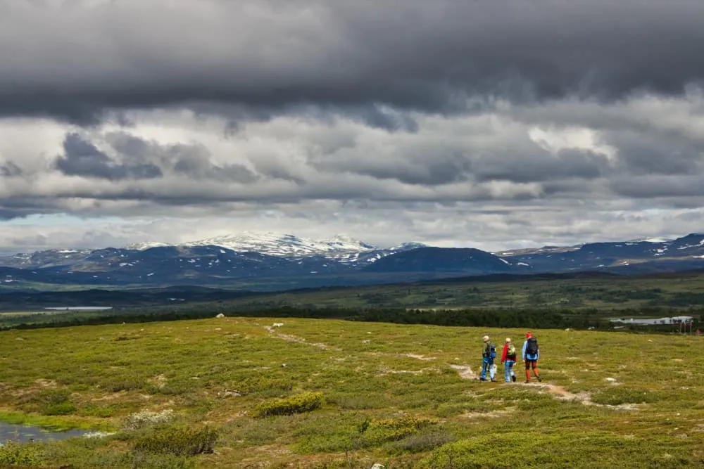
Starting and finishing in Storulvån, this 5-day trek through the Swedish mountains will take you to the Sylarna and Blåhammaren mountain stations. As you complete the triangular loop, you will pass through birch forests and vast moorlands and follow the ridgelines carved out by ancient glaciers.

Each evening, you will stay in welcoming, fully equipped mountain huts where you can unwind in the sauna after a rewarding day's hiking. For your comfort, accommodation before and after the trip at the Storulvån mountain station is also included.

Thanks to its well-maintained trails and comfortable accommodation, the Jämtland Triangle is the perfect place for fit hikers to explore the dramatic yet accessible wilderness of Swedish Lapland.

Important: Please be aware that reindeer herding is active in the region, so avoid disturbing herders and animals. Tack så mycket, thank you very much!

Itinerary

Day
1

Arrival day

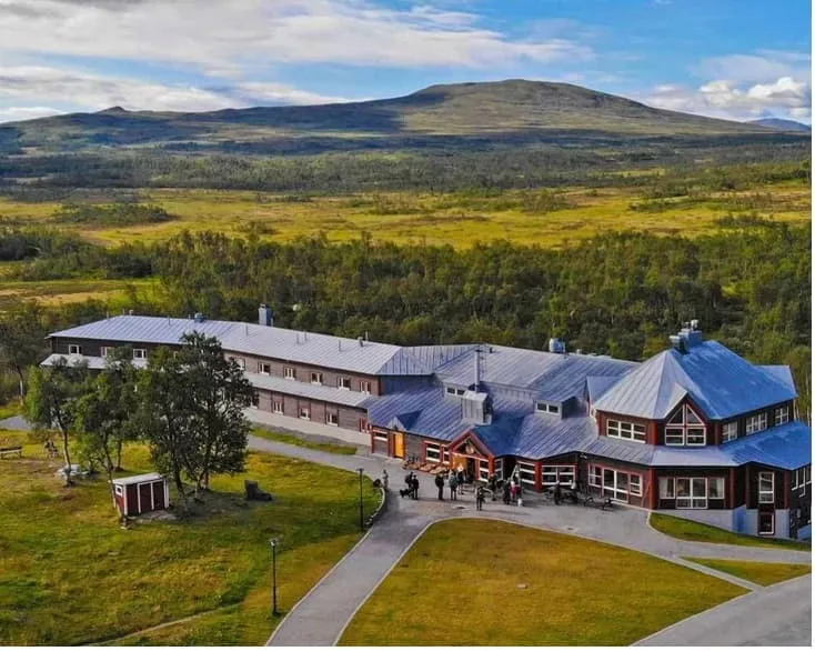
Make your way to Storulvån mountain station, where you will spend the night before setting off on your trek. Settle in, enjoy your surroundings, and prepare for your adventure in Jämtland.

Storulvån

Info
Storulvån
Storulvån
Day
2

Storulvån - Sylarna

Duration: 04:30 h
Distance: 16 km
Ascent: 460 m
Descent: 160 m

The first leg of the Jämtlandstriangeln starts at Storulvån mountain station and heads south, gently into Sweden's alpine wilderness. With a few exceptions, the trail climbs gently all the way. The first few kilometres are through mountain birch forest. You then cross the calm waters of Lake Lillulvån over a suspension bridge and continue above the tree line.

The trail winds through rolling countryside on wide, well-marked paths with panoramic views of the Sylarna massif, whose famous silhouette is visible all day. After a few more kilometres you come to the wind shelter at Spåjme, a good place to stop if the weather is bad. Water can be drawn from streams along the way.

Again, towards the end of the walk, you'll come to a charming bridge over the River Enan - the perfect place to stop for a picnic or even a refreshing dip. Just 2.5km before you reach Sylarna, you'll pass the Gamla Sylen rest area, where you'll find a shelter with an oven, emergency phone, water and toilets. Once in your hut, it is time to rest up for tomorrow's adventure!

Sylarna

Info
Sylarna
Sylarna
Day
3

Sylarna - Blåhammaren

Duration: 05:00 h
Distance: 18 km
Ascent: 420 m
Descent: 370 m

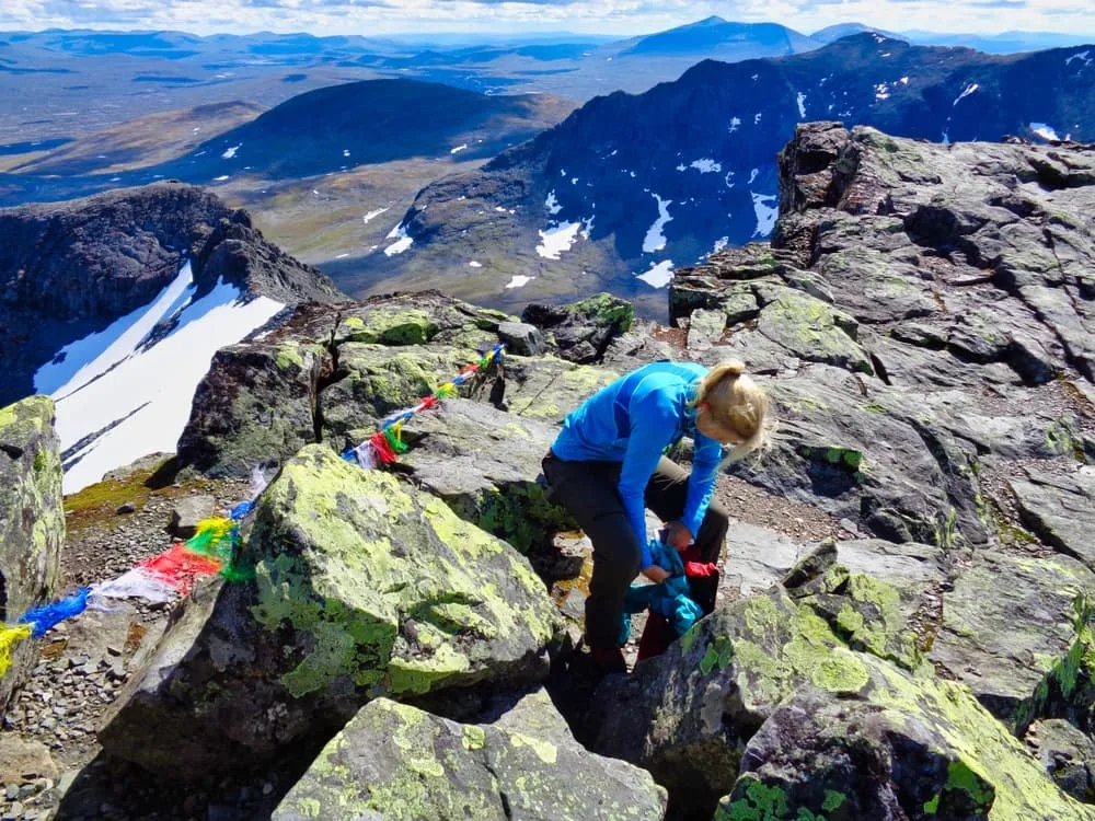
This stage takes you through open countryside and gentle alpine terrain. The route starts with a short descent from Sylarna to the crossroads by the river Enan. Turn left here and head north-west, with magical views of the Sylarna massif behind you - don't forget to turn back! This is an unforgettable backdrop as you gradually make your way over rolling hills with ups and downs and open moorland.

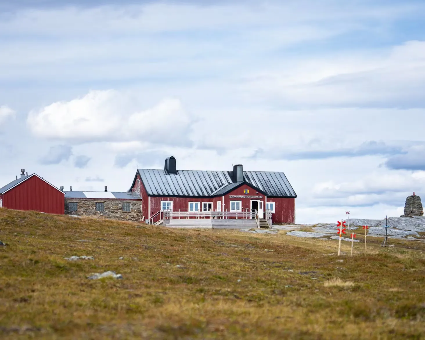
Just after the halfway point, you'll come to Enkälen Rastskydd, a small wind shelter ideal for a quick rest or in case of bad weather. The final stretch ends with a steady ascent to Blåhammaren, which sits on a ridge with panoramic views and is one of Sweden's most spectacular mountain huts. Time to relax and recharge your batteries before the next stage of your adventure.

Blåhammaren

Info
Blåhammaren
Blåhammaren
Day
4

Blåhammaren - Storulvån

Duration: 03:25 h
Distance: 12 km
Ascent: 100 m
Descent: 450 m

The final section of the Triangle is a pleasant and rewarding descent that completes the classic loop. In other words, an easy day. This stage starts high on the exposed ridge of Blåhammaren, with sweeping views, before gradually descending into the valley. The well-marked trail takes you through open alpine terrain with gentle ups and downs and a mostly downhill profile.

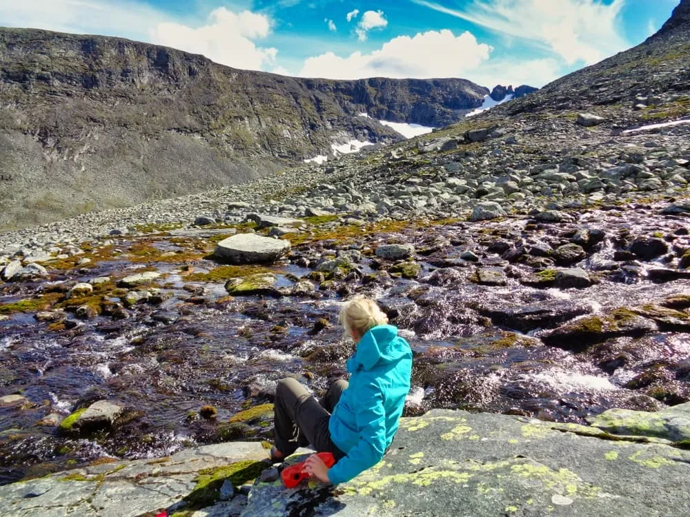
In the middle of the route you reach the wind shelter at Ulvåtjärn, a magically beautiful place with steep sand ridges and murmuring streams all around, where you can fill your bottle. The path then crosses a stream that you may have to wade across. Then you walk on an ancient sea bed from the last ice age. So cool!

The landscape changes from barren fjeld to grassy moorland and finally to the richer terrain of the mountain birch forest around Storulvån. You'll descend, crossing small streams and skirting wetlands, with Ulvåskaftet rising on your left. The path is not technical, but rocky and uneven in places, so good footwear is required, as is caution in wet areas. Finally, you'll arrive back at Storulvån Fjällstation, where your adventure began.

Storulvån

Info
Storulvån
Storulvån
Day
5

Departure day

After completing the Jämtland Triangle Trail, spend one last night at the Storulvån mountain station. Depart the following morning feeling well rested and with a wealth of unforgettable memories. See you soon on the trails!

Included

  • Full travel guide

    You’ll receive access to our trekking app, which serves as your complete digital travel guide for the Jämtland. Inside, you’ll find everything you need for your trek: route descriptions, hiking maps, navigation support, payment information, and all the key details specific to your journey.

  • Accommodation

    During your Jämtland, you will spend your nights in mountain huts. In the mountain huts we normally only book dormitories, but we can look into private rooms on request. If the private rooms are fully booked or not available in the hut, we automatically book a bed in dormitories for you. Please note that private rooms are more expensive and there will be an additional charge for this.

  • Full board (where possible)

    Full board is included on most days where available. In huts where meals are not provided, there is a small shop and a guest kitchen where you can comfortably prepare your own food.

  • Accommodation before and after the trip

    Accommodation before and after the trek is included. If possible, we also organize breakfast.

  • Navigation support

    Our trekking app also includes built-in navigation support. With GPS-based maps and offline access, you can follow the trail confidently and stay on route even without mobile signal.

Excluded

  • Traveling to and from

    You have to make your own way to the starting point. The total amount does not include personal transport.

  • Transfers

    Should you need any form of (public) transport on location, this is not part of the trekking package. This includes the use of taxi, bus, cable cars, gondolas, ferries, etc.

  • Travel Insurance

    Your international travel insurance is your own responsibility. Discuss your itinerary with the insurance company before your trek.

  • Personal expenses

    Personal expenses on such as souvenirs, drinks, and other similar expenses are for your own account.

FAQ

  • How to Get To the Starting Point of the Jämtland Triangle Trail

  • End point: Storulvån

  • What if the dates I want are not available?

  • If I book now, can I immediately arrange the rest of my trip?

  • How do I know if this trek is right for me?

How to Book

  • Booking

  • Availability

  • Cancellation policy