Preferred date sold out?
Discover our hut-to-hut treks in Switzerland with availability in August or September and secure your adventure before it's too late!

Short Prättigauer Höhenweg

Duration: 3 days
Trails: T2 trails
Distance: 10 - 15 km per day
Ascent per day: 250 - 500 m ascent per day

> Trek the best of the Prättigauer Höhenweg in just 3 days
> Sleep in a cozy hut and explore charming villages
> Ride the Madrisabahn cable car and finish in the peaceful hamlet of Schuders

Looking for a short alpine escape? The 3 day Prättigauer Höhenweg is a compact trek through the peaceful mountain landscapes of eastern Switzerland. Starting in Klosters, you take the Madrisabahn cable car up into the alpine and follow scenic trails through the Graubünden region. You'll overnight in the quiet village of St. Antönien and the panoramic Carschinahütte, nestled below the dramatic Sulzfluh cliffs.

This route is ideal for hikers who want a taste of high mountain trekking without going all in. The days are manageable, the scenery is striking, and the trails are never crowded. Your adventure ends in the peaceful hamlet of Schuders, a soft landing after 3 unforgettable days in the Rätikon range.

Itinerary

Day
1

Klosters - St. Antönien

Duration: 04:15 h
Distance: 12.7 km
Ascent: 460 m
Descent: 930 m

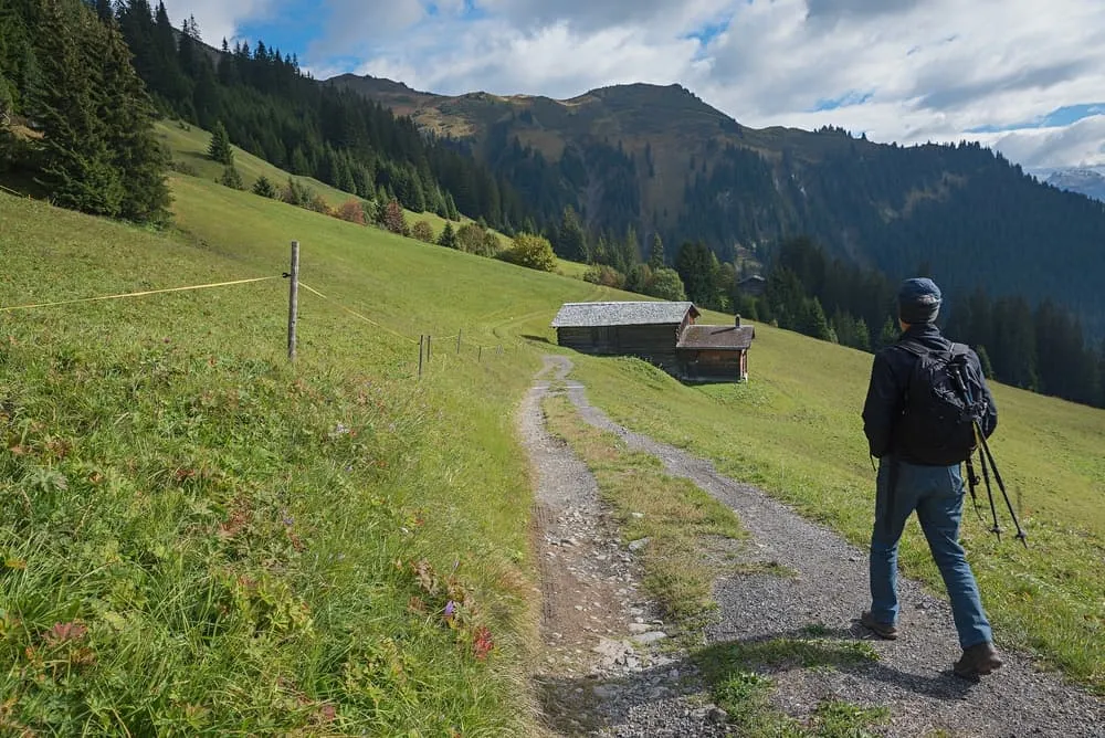
Today's stage starts in Klosters and plunges you straight into the natural beauty of the Graubünden region. To begin your trek, take the Madrisabahn cable car, a smooth ride that lifts you right into alpine territory. From the top station, the route starts with a steady climb through alpine pastures and woodlands, offering stunning views of the surrounding mountain peaks. You will reach several panoramic viewpoints along the way, offering perfect opportunities to rest or take photos of the Graubünden mountains.

The route then continues along grassy ridges beneath summits such as the Jagglisch Horn (2,290 m) and the Nolla (2,370 m), before descending gently to the tranquil village of St. Antönien. You will pass through the Ascharina Alp, where you can hire a trottinette for a fun-filled final stretch. With its moderate elevation changes and well-maintained paths, this stage offers a gentle yet rewarding introduction to the Prättigauer Höhenweg.

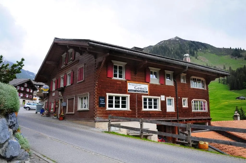
Berggasthaus Gemsli (St. Antönien)

Info
Berggasthaus Gemsli (St. Antönien)
Day
2

St. Antönien - Carschinahütte

Duration: 03:10 h
Distance: 7.3 km
Ascent: 810 m
Descent: 10 m

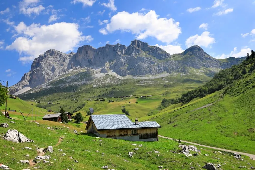
The trail begins in the peaceful village of St. Antönien and winds steadily upwards through increasingly wild and alpine terrain. The trail winds its way up through pastures and wooded slopes, eventually offering expansive vistas of the Rätikon mountain range. As you climb higher, keep an eye out for grazing cows and marmots.

Once you are above the tree line, the scenery becomes truly dramatic. The trail passes the 2,412-metre-high Chüenihorn and the beautiful Carschinasee, a small alpine lake nestled beneath towering limestone peaks. Your destination, the Carschina Hütte, is just above. This cosy, remote hut is perfectly positioned for sunset views of the Schesaplana and Sulzfluh peaks. It's a fitting end to a memorable stage!

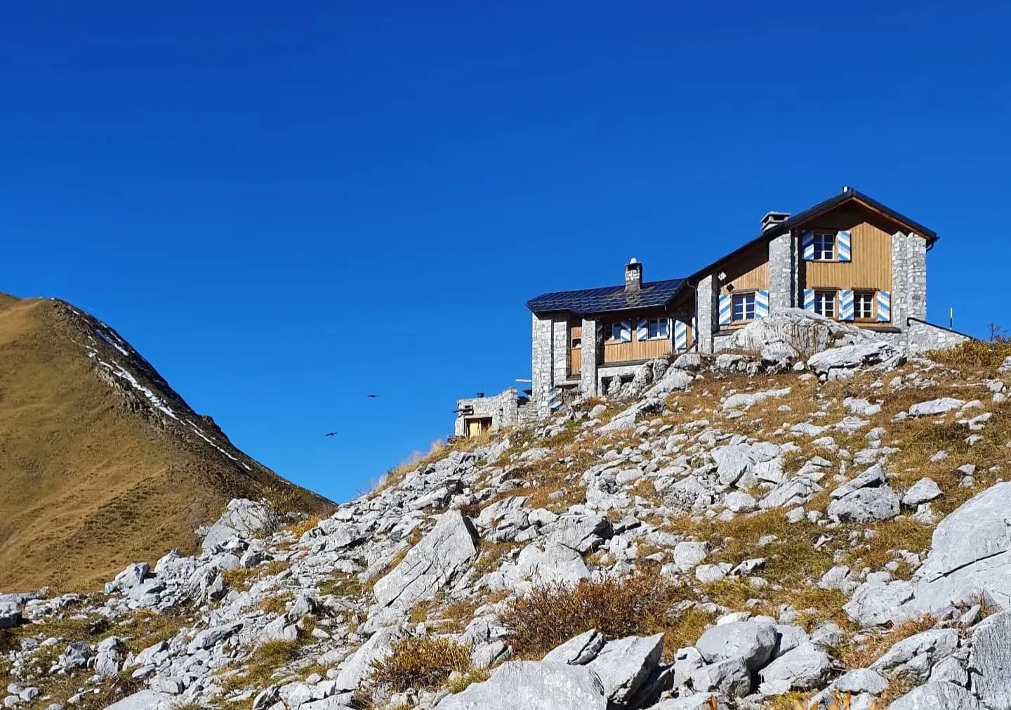
Carschinahütte

Info
Carschinahütte
Carschinahütte
Day
3

Carschinahütte - Schuders

Duration: 05:20 h
Distance: 16.5 km
Ascent: 100 m
Descent: 1050 m

Today, you will leave the picturesque Carschinahütte behind and start your descent. The initial section of the route is breathtaking: you will follow the imposing limestone cliffs of the Sulzfluh, enjoying sweeping vistas that appear to stretch endlessly. You will pass beneath the natural archway of Schweizer Tor, which marks the border between Switzerland and Austria, and is one of the trail's most iconic landmarks.

As you continue to descend, the terrain becomes greener and gentler. You will hike through high alpine pastures and catch glimpses of the Graubünden valley below. A final viewpoint offers sweeping vistas of the Schesaplana massif before you zigzag down towards Schuders, a peaceful village nestled among the mountains. Now is the time to take off your boots and reflect. You've just completed one of Switzerland's hidden gems!

FAQ

  • How to Get to the Starting Point of the Short Prättigauer Höhenweg

  • End point: Schurs

  • What if the dates I want are not available?

  • If I book now, can I immediately arrange the rest of my trip?

  • How do I know if this trek is right for me?

How to Book

  • Booking

  • Availability

  • Cancellation policy