Preferred date sold out?
Discover our hut-to-hut treks in Switzerland with availability in August or September and secure your adventure before it's too late!

Prättigauer Höhenweg

Duration: 4 days
Trails: T2 trails
Distance: 10 - 15 km per day
Ascent per day: 250 - 500 m ascent per day

> Take in the stunning views at the Austrian-Swiss border
> Sleep in cozy huts like Carschinahütte and Schesaplanahütte
> Enjoy the scenic Seilbahn Fanas cable car

Looking for a gentle yet rewarding introduction to Swiss hiking? The Prättigauer Höhenweg is perfect for beginners who want mountain views without the crowds. Starting in Klosters and ending at the Fanas cable car, this route follows wide trails through wildflower-filled meadows, remote plateaus, and panoramic limestone ridgelines.

Each day you’ll explore a new part of the Rätikon range, with enough time to take it all in. Along the way, stay in classic alpine accommodations and soak up the quiet beauty of Graubünden. This is Switzerland at its most peaceful, an off-the-beaten-path adventure with a soft landing each night.

Itinerary

Day
1

Klosters - St. Antönien

Duration: 04:15 h
Distance: 12.7 km
Ascent: 460 m
Descent: 930 m

Today's stage starts in Klosters and plunges you straight into the natural beauty of the Graubünden region. To begin your trek, take the Madrisabahn cable car, a smooth ride that lifts you right into alpine territory. From the top station, the route starts with a steady climb through alpine pastures and woodlands, offering stunning views of the surrounding mountain peaks. You will reach several panoramic viewpoints along the way, offering perfect opportunities to rest or take photos of the Graubünden mountains.

The route then continues along grassy ridges beneath summits such as the Jagglisch Horn (2,290 m) and the Nolla (2,370 m), before descending gently to the tranquil village of St. Antönien. You will pass through the Ascharina Alp, where you can hire a trottinette for a fun-filled final stretch. With its moderate elevation changes and well-maintained paths, this stage offers a gentle yet rewarding introduction to the Prättigauer Höhenweg.

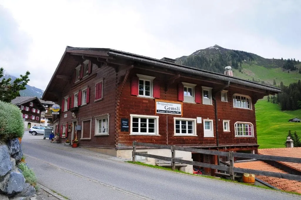
Berggasthaus Gemsli (St. Antönien)

Info
Berggasthaus Gemsli (St. Antönien)
Day
2

St. Antönien - Carschinahütte

Duration: 03:10 h
Distance: 7.3 km
Ascent: 810 m
Descent: 10 m

The trail begins in the peaceful village of St. Antönien and winds steadily upwards through increasingly wild and alpine terrain. The trail winds its way up through pastures and wooded slopes, eventually offering expansive vistas of the Rätikon mountain range. As you climb higher, keep an eye out for grazing cows and marmots.

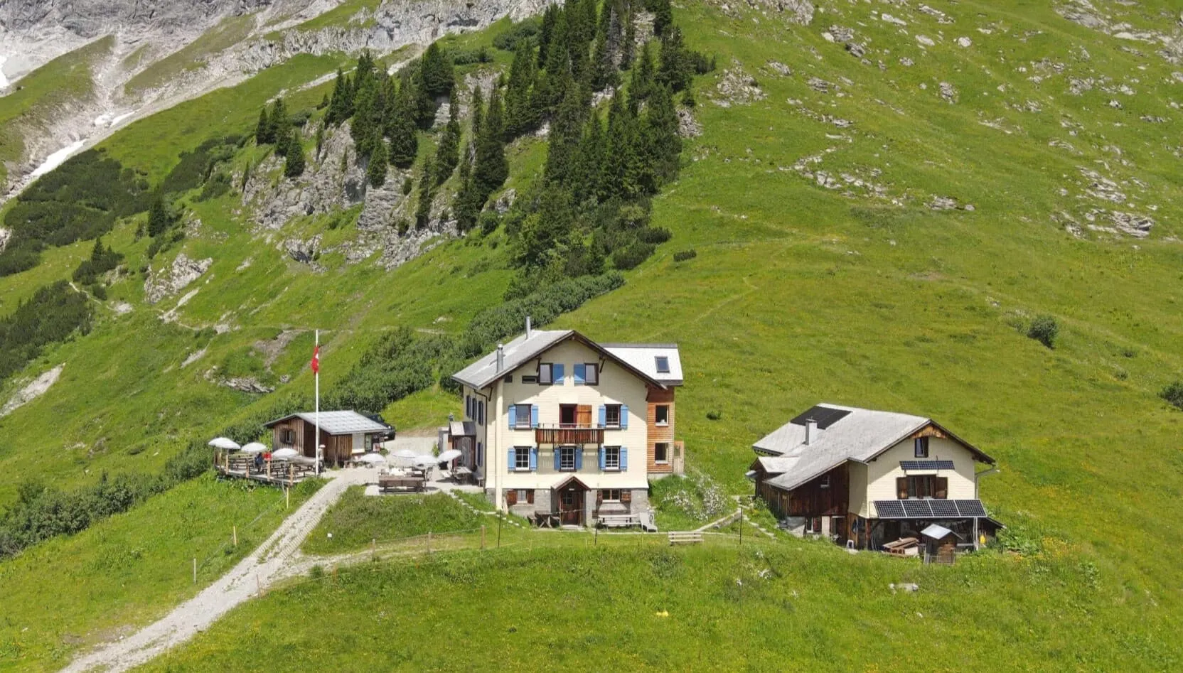
Once you are above the tree line, the scenery becomes truly dramatic. The trail passes the 2,412-metre-high Chüenihorn and the beautiful Carschinasee, a small alpine lake nestled beneath towering limestone peaks. Your destination, the Carschina Hütte, is just above. This cosy, remote hut is perfectly positioned for sunset views of the Schesaplana and Sulzfluh peaks. It's a fitting end to a memorable stage!

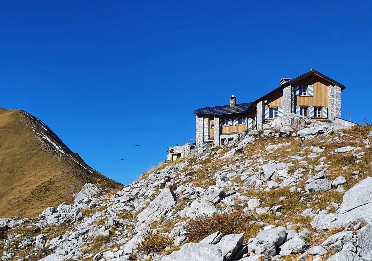
Carschinahütte

Info
Carschinahütte
Carschinahütte
Day
3

Carschinahütte - Schesaplanahütte

Duration: 06:00 h
Distance: 15.7 km
Ascent: 360 m
Descent: 690 m

Today's stage is stunning! Starting from the Carschinahütte hut, the trail heads west along the northern slopes of the Rätikon mountain range. As you make your way through an impressive mountain amphitheatre, the imposing limestone walls of the Sulzfluh loom above you. The views are spectacular throughout the day, especially as you pass through the natural gateway of Schweizer Tor, which marks the border between Switzerland and Austria.

Beyond the pass, the landscape opens up to reveal the Lunerseetal valley and the impressive Scesaplana massif. The final section involves ascending and descending through alpine pastures and scree before a gentle descent to the Schesaplana Hut, where you will spend the night. It's time to relax, enjoy the sunset, and perhaps raise a toast to the day. You've earned it!

Schesaplanahütte

Info
Schesaplanahütte
Schesaplanahütte
Day
4

Schesaplanahütte - Seilbahn Fanas

Duration: 03:00 h
Distance: 8.4 km
Ascent: 390 m
Descent: 570 m

Today is all about taking in the last of the views. From Schesaplanahütte, the trail begins with a steady descent through alpine terrain, winding past meadows and rugged limestone outcrops. The route is varied and scenic, with highlights like the panoramic views over the Prättigau valley and the occasional glimpse of the Rätikon peaks behind you.

Halfway along the Vordersäss Vals Alp, there is a short climb before the path levels out again. Towards the end, there is one last climb, a steep ascent on the western slope along the Grappalazär trail. You are likely to encounter mountain bikes here. There’s still one last thrill before getting to Fanas: the descent to the valley floor via the Seilbahn Fanas cable car. It’s a smooth ride with a fantastic aerial view, the perfect finale to your journey!

Included

  • Full travel guide

    You’ll receive access to our trekking app, which serves as your complete digital travel guide for the Prättigauer Höhenweg. Inside, you’ll find everything you need for your trek: route descriptions, hiking maps, navigation support, payment information, and all the key details specific to your journey.

  • Accommodation

    During your Prättigauer Höhenweg, you will spend your nights in mountain huts. In the mountain huts we normally only book dormitories, but we can look into private rooms on request. If the private rooms are fully booked or not available in the hut, we automatically book a bed in dormitories for you. Please note that private rooms are more expensive and there will be an additional charge for this.

  • Half board (where possible)

    Accommodation in the huts includes dinner and breakfast, unless otherwise indicated in the exclusive list. This allows you to travel lighter and not have to worry about an extra meal. Please note, however, that lunch is not included, but can be purchased at the huts.

  • Navigation support

    Our trekking app also includes built-in navigation support. With GPS-based maps and offline access, you can follow the trail confidently and stay on route even without mobile signal.

Excluded

  • Traveling to and from

    You have to make your own way to the starting point. The total amount does not include personal transport.

  • Transfers

    Should you need any form of (public) transport on location, this is not part of the trekking package. This includes the use of taxi, bus, cable cars, gondolas, ferries, etc.

  • Lunch

    Half-board is included in the price of this trek. Lunch, however, is not. You can get something to eat at the mountain huts along the way.

  • Travel Insurance

    Your international travel insurance is your own responsibility. Discuss your itinerary with the insurance company before your trek.

  • Personal expenses

    Personal expenses on such as souvenirs, drinks, and other similar expenses are for your own account.

FAQ

  • How to Get to the Starting Point of the Prättigauer Höhenweg

  • End point: Seilbahn Fanas

  • What if the dates I want are not available?

  • If I book now, can I immediately arrange the rest of my trip?

  • How do I know if this trek is right for me?

How to Book

  • Booking

  • Availability

  • Cancellation policy