Preferred date sold out?
Discover our trekking adventures in Italy with availability in August, September or October and secure your spot before it’s too late!

Fast Val di Fassa Trek

Duration: 3 days
Trails: T3 trails
Distance: 0 - 10 km per day
Ascent per day: 500 - 1000 m ascent per day

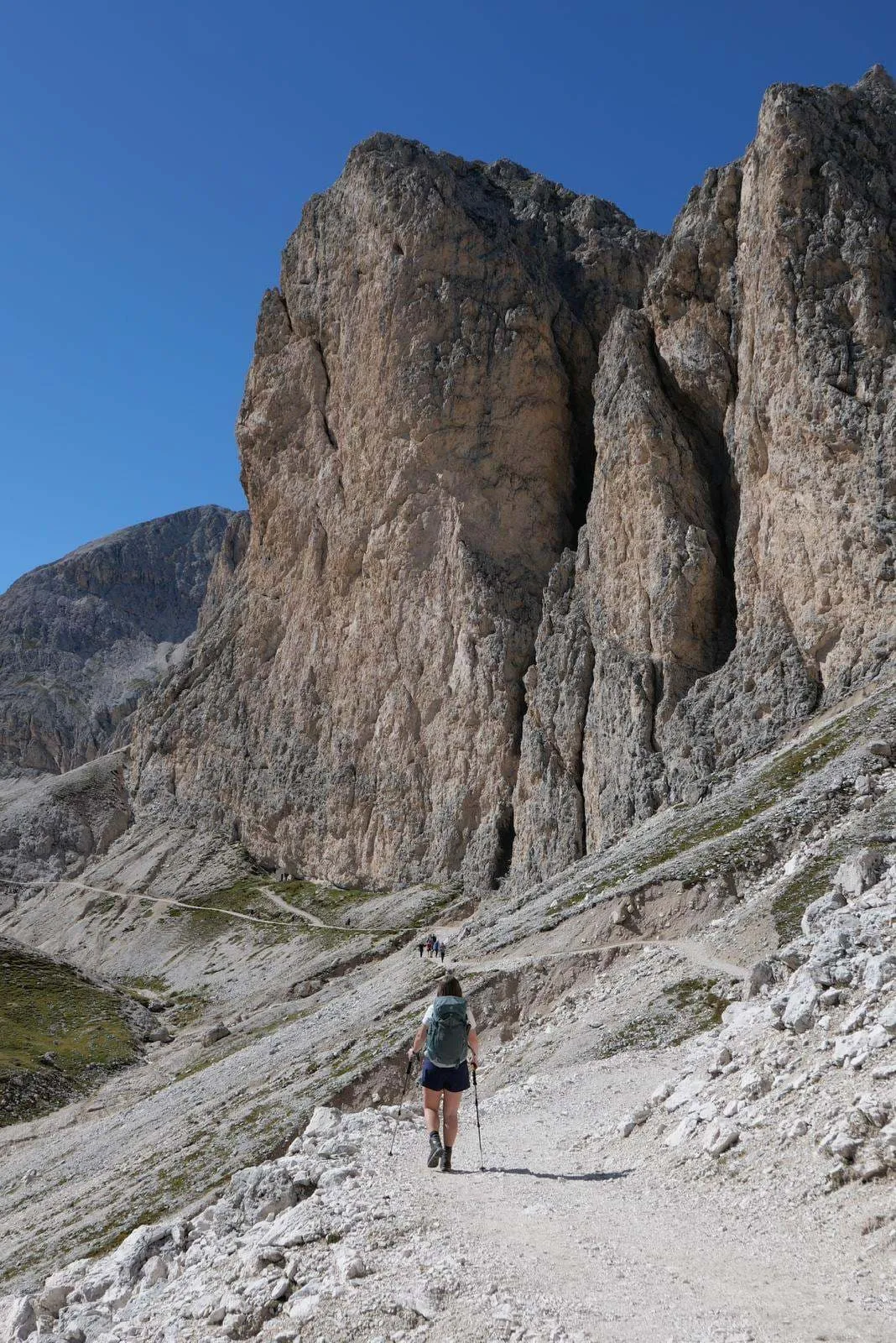
> Trek through the iconic peaks of the Catinaccio Group
> Discover Alpine gems like Lago Secco and Lech de Antermoa
> Experience the pink glow of Enrosadira at sunrise and sunset

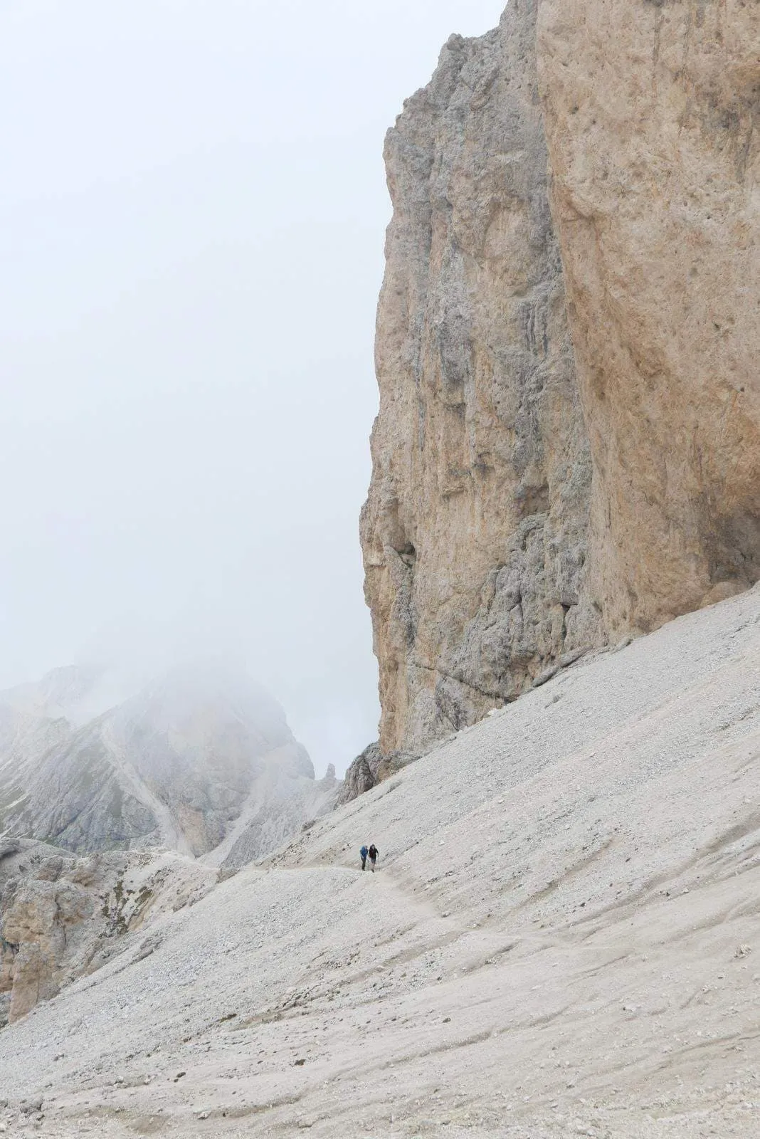
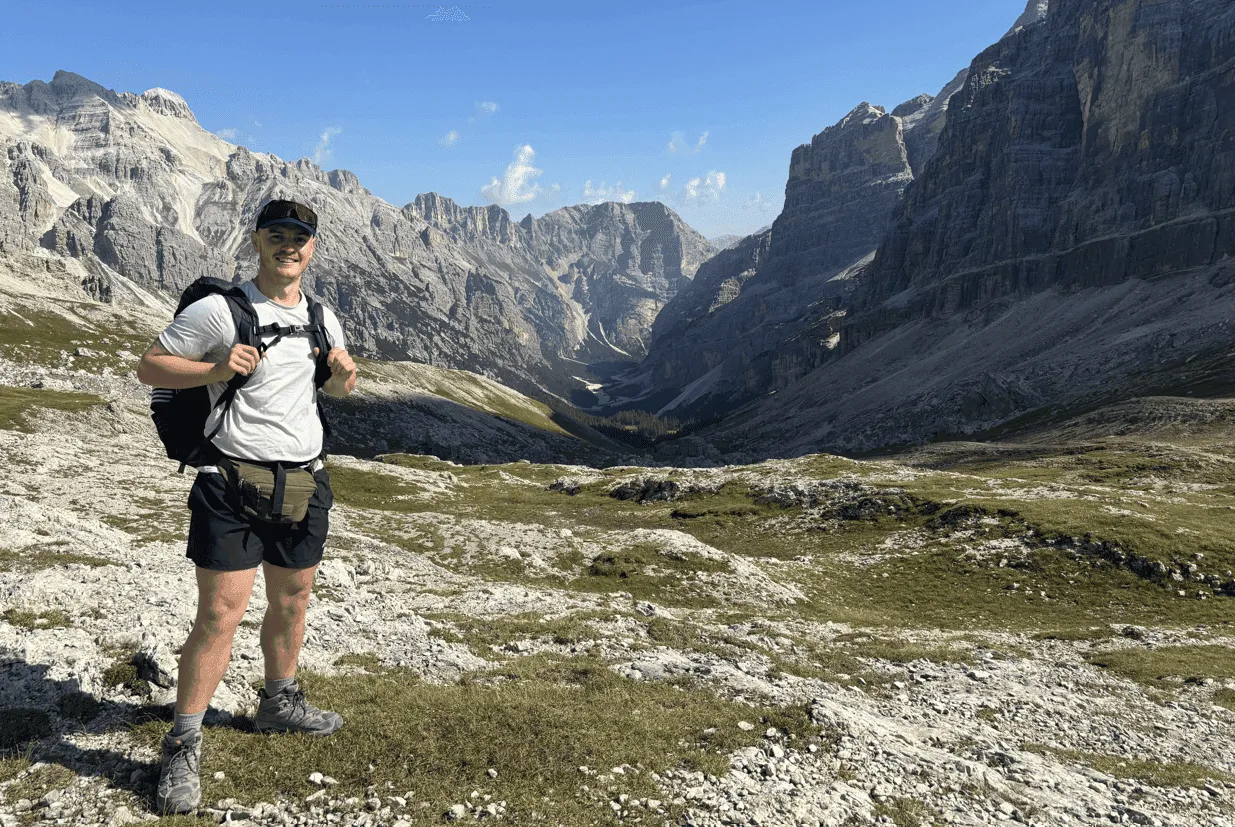
This 3-day trek in Val di Fassa is perfect for those short on time but eager to experience the best of the Dolomites. Starting in Campitello di Fassa, well-marked trails lead you through dramatic peaks and peaceful valleys, ending at the scenic Passo Costalunga. Along the way, you'll pass Col Rodella (2,484 m), Kesselkogel (3,004 m) and the stunning Antermoia Lake (2,500 m).

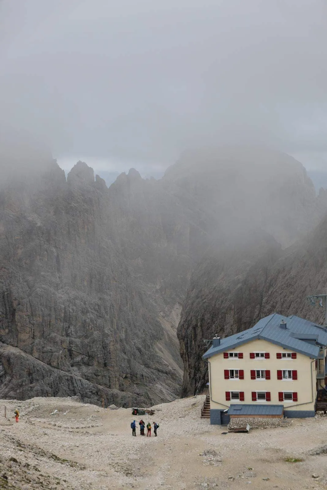
The route combines high-altitude trails, rugged ridges and rolling pastures. Along the way, you’ll find Italian mountain huts in the most unexpected places—tucked into rocky cliffs or surrounded by alpine meadows. Stop for a break, enjoy the local cuisine or reward yourself with a cold beer.

Each night, a welcoming refuge awaits, serving up hearty Ladin dishes and the warm hospitality of the Italian Alps. These cosy huts are the perfect place to unwind after a rewarding day on the trails. An ideal trek for those seeking a short but unforgettable adventure, immersed in the wild beauty and rich culture of the Dolomites.

Itinerary

Day
1

Campitello di Fassa- Rifugio Des Alpes - Rifugio Antermoia

Duration: 05:15 h
Distance: 12.2 km
Ascent: 770 m
Descent: 660 m

The journey begins in Campitello di Fassa. The Col Rodella cable car that normally departs from Campitello will be closed during the 2025 summer season. Instead, you’ll need to start from the Pradel-Rodella lift, which is located approximately 7 km up the valley.

From Laghetto Lupo Bianco, the cable car provides a scenic ascent toward Col Rodella (2,485 m), saving time and energy while treating you to sweeping views of the Dolomites. Once at the top station, a short and panoramic walk leads to Rifugio Des Alpes, a perfect spot to pause and soak in the majestic surroundings of the Sassolungo massif and the Sella Group.

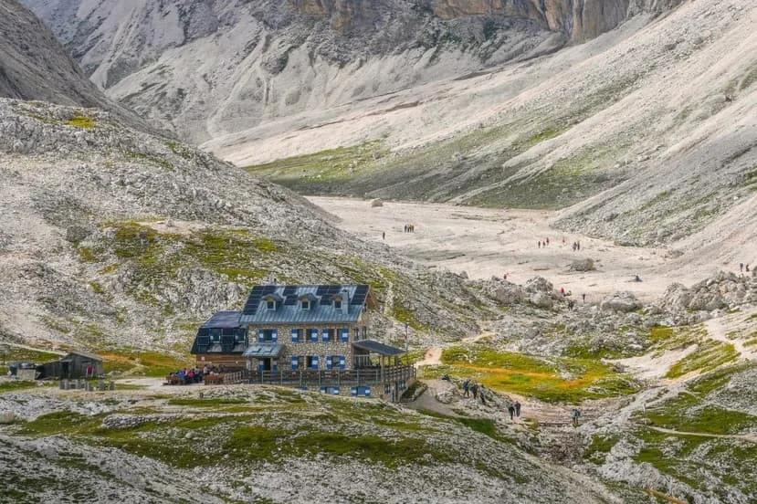
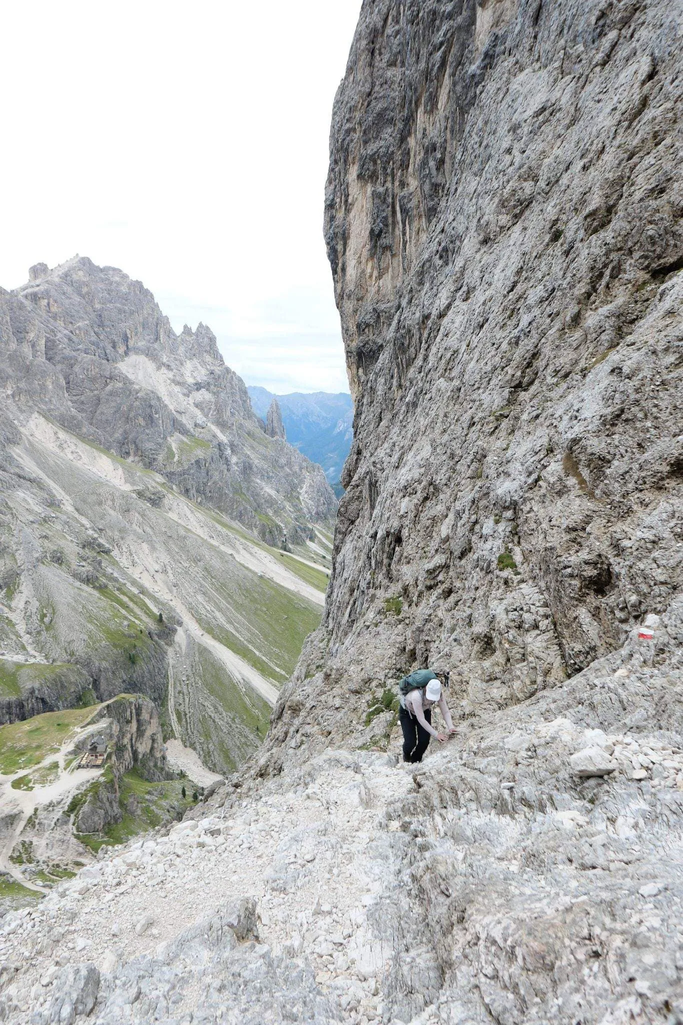
From here, the trail winds through rocky landscapes and alpine meadows, gradually leading into the heart of the Val Duron valley. As you ascend, the terrain becomes more rugged, and the scenery more dramatic, with towering peaks and glacial lakes setting the stage for the next highlight of the trek. By evening, you'll reach the iconic Rifugio Antermoia, nestled near the emerald waters of Lago d’Antermoia, where a warm meal and a cozy refuge await—preparing you for the adventures ahead.

Rifugio Antermoia

Info
Rifugio Antermoia
Rifugio Antermoia
Day
2

Rifugio Antermoia - Rifugio Vajolet

Duration: 02:30 h
Distance: 5.07 km
Ascent: 260 m
Descent: 520 m

This short and scenic stage follows trail 584, the easiest and most accessible route between Rifugio Antermoia and Rifugio Vajolet. It’s the recommended option for trekkers with little experience—but also a smart choice at the beginning of the season, when snow may still linger on higher trails, or during unsettled weather conditions.

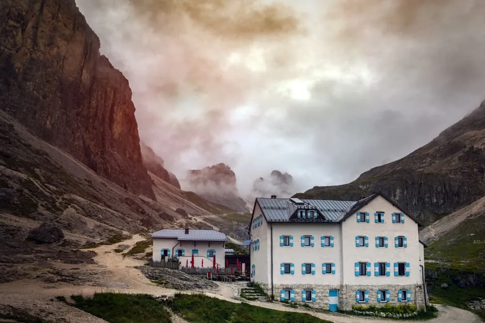
The trail begins by skirting the tranquil Lago di Antermoia. Heading west, you'll enjoy expansive views towards the Catinaccio Group and the Vajolet Towers as the path leads you gently to Rifugio Passo Principe—a welcoming hut and a perfect spot for a short break. From there, the trail continues southward, offering a stunning view from Grasleiten Pass into the Rosengarten Valley, before reaching Rifugio Vajolet.

Because of its shorter distance and moderate terrain, this route allows you to take your time. Pause by the lake, enjoy a longer rest, or simply walk at your own pace while soaking in the scenery. If you prefer a longer and more challenging alternative, you can follow route 583 over the Passo delle Pope.

Rifugio Vajolet

Info
Rifugio Vajolet
Rifugio Vajolet
Day
3

Rifugio Vajolet - Passo Costalunga

Duration: 04:15 h
Distance: 9.8 km
Ascent: 370 m
Descent: 840 m

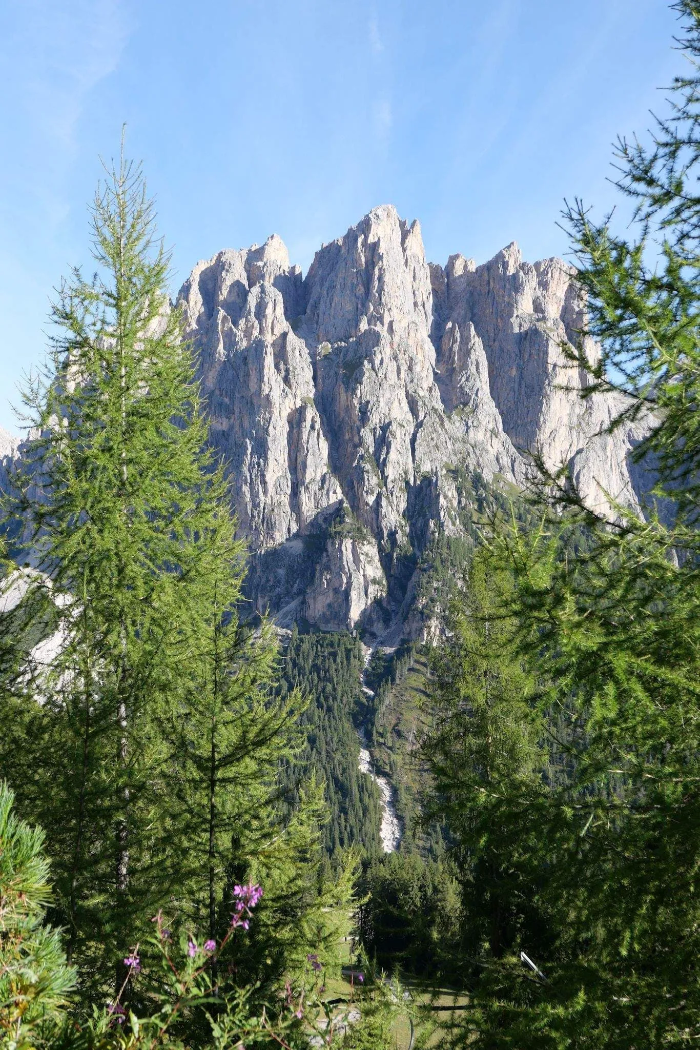
This last stage takes you on a spectacular journey through the Rosengarten Group, a fitting end to your trek. Along the way you'll see towering peaks such as the Rosengartenspitze (Cima Catinaccio, 2981m) and the Tschager Spitze (Cima Coronelle, 2,797m). Halfway you'll reach the Col de Ciampac (2,316m), a panoramic viewpoint, the perfect place to stop, catch your breath and enjoy the scenery.

The final stretch is a gentle descent to the Costalunga Pass (1,752m), the gateway between the Fassa and Ega valleys. You'll pass through peaceful meadows, quiet pinewoods and open spaces with views of the Roda di Vaèl massif. A scenic finale to your Fassa Valley adventure!

Included

  • Booking the huts

    We will take care of arranging accommodation on the Val di Fassa Trek for you. We will also provide you with a detailed itinerary for every stage and instructions on how to get to the trailhead.

  • Full travel guide

    You’ll receive access to our trekking app, which serves as your complete digital travel guide for the Val di Fassa Trek. Inside, you’ll find everything you need for your trek: route descriptions, hiking maps, navigation support, payment information, and all the key details specific to your journey.

  • Accommodation

    During your Val di Fassa Trek, you will spend your nights in mountain huts. In the mountain huts we normally only book dormitories, but we can look into private rooms on request. If the private rooms are fully booked or not available in the hut, we automatically book a bed in dormitories for you. Please note that private rooms are more expensive and there will be an additional charge for this.

  • Half board (where possible)

    Accommodation in the huts includes dinner and breakfast, unless otherwise indicated in the exclusive list. This allows you to travel lighter and not have to worry about an extra meal. Please note, however, that lunch is not included, but can be purchased at the huts.

  • Navigation support

    Our trekking app also includes built-in navigation support. With GPS-based maps and offline access, you can follow the trail confidently and stay on route even without mobile signal.

Excluded

  • Traveling to and from

    You have to make your own way to the starting point. The total amount does not include personal transport.

  • Transfers

    Should you need any form of (public) transport on location, this is not part of the trekking package. This includes the use of taxi, bus, cable cars, gondolas, ferries, etc.

  • Lunch

    Half-board is included in the price of this trek. Lunch, however, is not. You can get something to eat at the mountain huts along the way.

  • Travel Insurance

    Your international travel insurance is your own responsibility. Discuss your itinerary with the insurance company before your trek.

  • Personal expenses

    Personal expenses on such as souvenirs, drinks, and other similar expenses are for your own account.

  • Accommodation before and after the trek

    Before and after the Val di Fassa Trek, you have to take care of your own accommodation.

FAQ

  • Is the Val di Fassa Trek for Me? - Difficulty

  • When is the Best Season to Hike in the Val di Fassa?

  • How to Get To the Starting Point of the Val di Fassa Trek

  • End point Passo Costalunga/Karerpass

  • What if the dates I want are not available?

  • If I book now, can I immediately arrange the rest of my trip?

  • How do I know if this trek is right for me?

How to Book

  • Booking

  • Availability

  • Cancellation policy