Via Selvaggia Sardinia

Duration: 8 days
Trails: T3 trails
Distance: 15 - 20 km per day
Ascent per day: 500 - 1000 m ascent per day

> Hike across the superb Supramonte range
> Spend the nights in rural hotels and village guesthouses
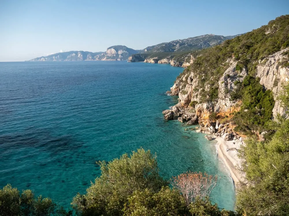
> Walk along the dramatic east coast with white sand beaches and vertical cliffs

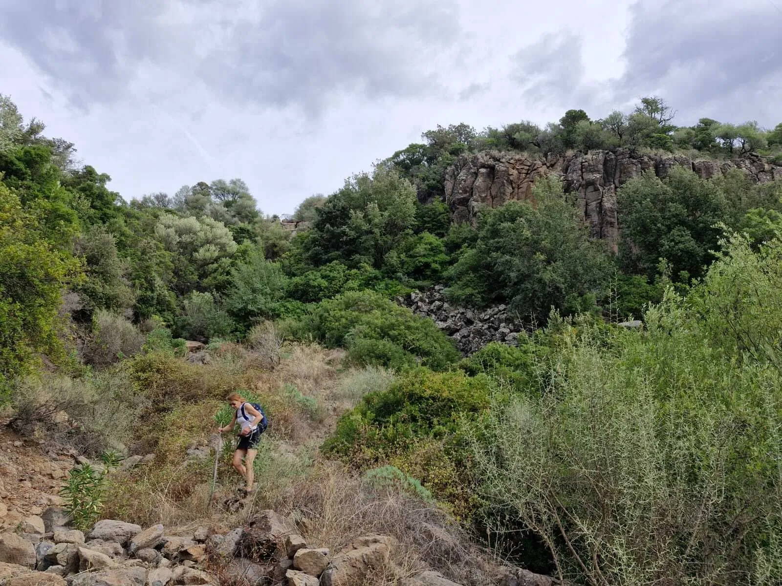
Sardinia offers countless options for unforgettable hiking journeys. Usually, you either venture deep into the rugged interior or follow scenic trails along the coast. So why choose? We created a 6-day hiking route that brings together the very best of Sardinia. As its name suggests, the Via Selvaggia, which means “the wild way,” leads you across the Supramonte range on small and sometimes faint mountain paths that wind through fragrant shrubs, rocky outcrops and, with some luck, wildlife like the mouflon. This immersive and adventurous route briefly reaches the island’s striking east coast, rewarding you with sweeping seascapes.

The Via Selvaggia Sardinia is not just about hiking in pristine nature. The pace of life in the centuries old villages is slow, just what you need after a long day on the trail. Wind down and enjoy the incredible Sardinian cuisine. You don't have to worry about the logistics of reserving the posadas (local guesthouses). We'll take care of that for you, so all you have to do is enjoy this unforgettable adventure.

Itinerary

Day
1

Arrival Fonni

Fonni is the highest town in Sardinia and a great place to gear up for your trek across the Supramonte range. Check out the beautiful murals!
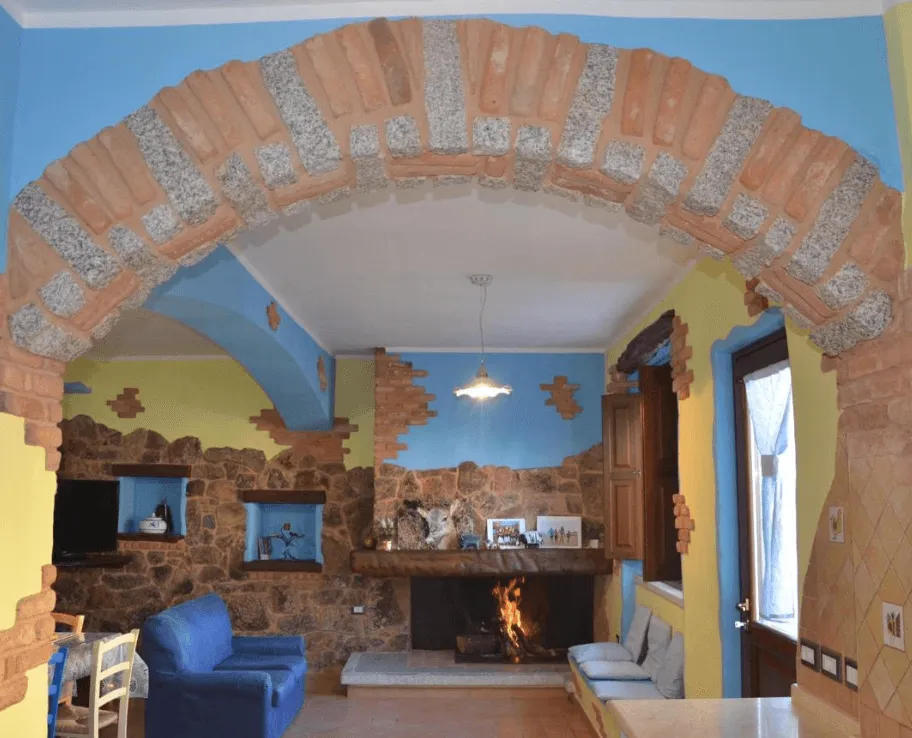
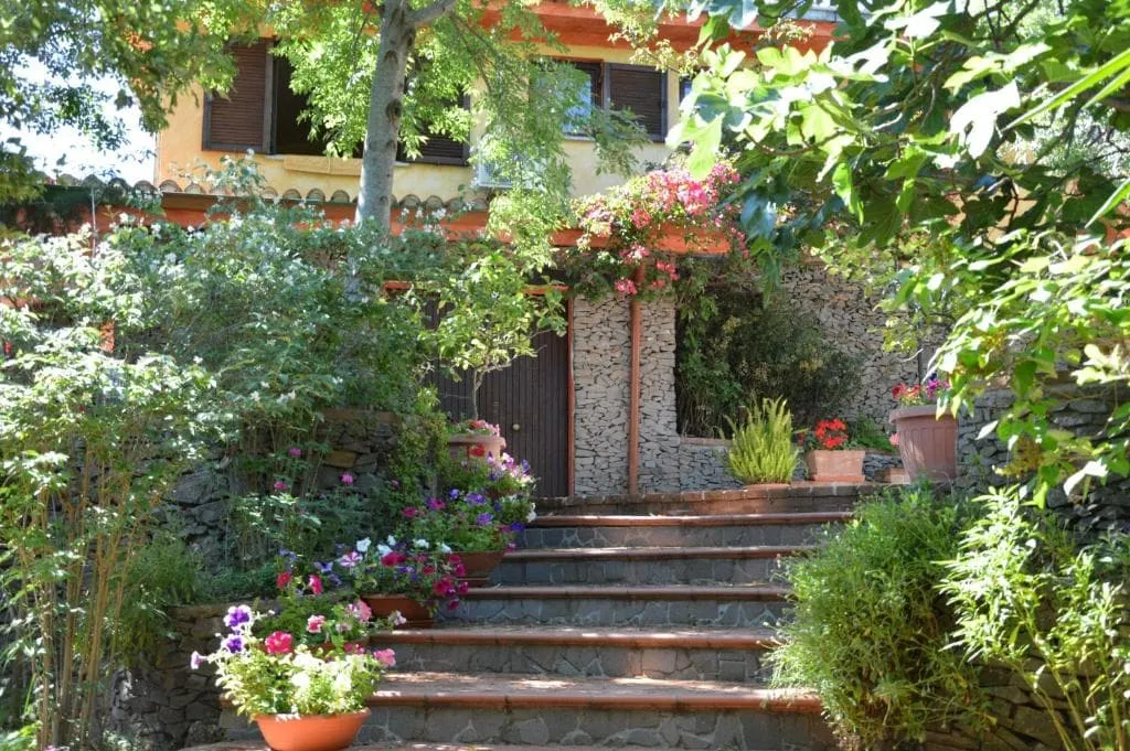
B&B La Dolce Sosta (Fonni)
Day
2

Passo di Correboi - Passo Ghenna Silana

Duration: 09:20 h
Distance: 27.1 km
Ascent: 830 m
Descent: 1070 m

Important: From Fonni, you'll take a taxi to one of the highest mountain passes in Sardinia, Passo di Correboi (1246 m). Please note that this transfer is not included and must be organized by yourself. We recommend asking your accommodation in Fonni for assistance with booking the taxi. You can also find some useful taxi contact details together with the information on how to get to the starting point.

From here, you head east into the Supramonte mountains. You stay at higher altitudes, though the trail goes up and down through barren rocky terrain and pine forests. Make sure to carry enough water for the day (at least 3 liters)! Around kilometer 18.5, the trail becomes less clearly marked as you descend a scree slope, so rely on your navigation tools to stay on track. You finish the day at another mountain pass, Passo Ghenna Silana.

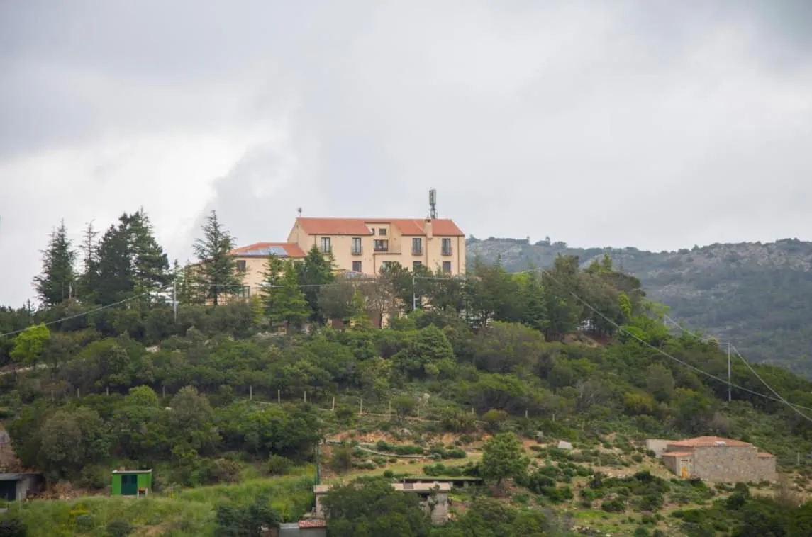
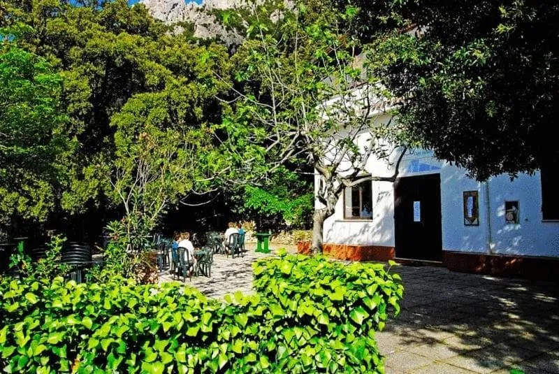
Hotel Gorropu (Passo Ghenna Silana)
Day
3

Passo Ghenna Silana - Dorgali

Duration: 06:30 h
Distance: 20.8 km
Ascent: 390 m
Descent: 990 m

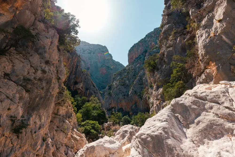
From your accommodation on the Ghenna Silana Pass, you descend northwards towards the Flumineddu River. When you reach the river, you’ll find yourself at the entrance of one of the deepest gorges in Europe and a truly iconic landmark of Sardinia: the Goroppu Canyon. On either side, the limestone walls rise up to 400 meters high, and in some sections, the gorge is as narrow as 5 meters. It is important to note that the trail leads you past the entrance to the gorge. If you wish to visit it, you’ll need to pay a small entrance fee, and this short detour adds approximately 1.5 km to the total distance. The canyon can be accessed from 10:00 a.m.

After the gorge, you’ll cross the river again and follow the Flumineddu downstream through the forest. Near the hill called Monte Tundu, you cross the river once more and continue across farmland to the beautiful Rifugio Gorropu. From Rifugio Gorropu, it’s just a short walk to Hotel Sant’Elene, your accommodation for the night.

Hotel Sant'elene (Dorgali)
Day
4

Dorgali - Cala Gonone

Duration: 05:20 h
Distance: 16.6 km
Ascent: 440 m
Descent: 790 m

Today a demanding 16.6 km mountain and coastal walk links Hotel Sant'elene with the seaside village of Cala Gonone. After a steady climb to the limestone heights above Dorgali, the route follows panoramic paths with views of the Gulf of Orosei before a long descent to the coast. Expect roughly 500 m of ascent and 870 m of descent on rocky, sometimes exposed terrain.

From the hotel the trail climbs on tracks and mule paths through woodland and pasture towards Monte Tului, whose summit reaches 917 m above the gulf. The route gains the ridge at about 700 m, then undulates on stony paths with frequent viewpoints over Dorgali, the Oddoene valley and the cliffs of the Supramonte before beginning the main descent.

The path drops steadily toward the sea, eventually reaching the rocky cove and pebble beach of Cala Fuili at 0 m. From here an easier finish along road and paths follows the shoreline to Cala Gonone at about 20 m, where the accommodation lies close to the waterfront, bars and harbour, ideal for recovering after this long day on the trail.

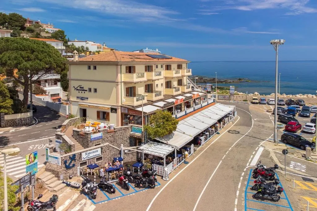
Hotel Il Nuovo Gabbiano (Cala Gonone)
Day
5

Cala Gonone - Dorgali

Duration: 06:25 h
Distance: 16.7 km
Ascent: 1130 m
Descent: 780 m

More seascapes today! After Cala Gonone, it’s a long hiking day, and north of the town, you'll ascend the steep coastline to the ridge that connects with its highest point, Monte Bardia (881 m). After about 5 km, there is a steep ascent where the path is barely marked, so pay close attention to your navigation tools in this section. From the top, you'll enjoy magnificent views across the Supramonte mountains, Dorgali, and the central east coast of Sardinia. A steep descent then takes you to Dorgali, a charming village that’s your place for the night.

B&B da Miranna (Dorgali)
Day
6

Dorgali - Oliena

Duration: 07:45 h
Distance: 23.2 km
Ascent: 1000 m
Descent: 700 m

Although it's a long day, most of the route is very doable. The first half you'll mostly walk on country tracks without too much climbing or descending. From around kilometer 6, when leaving the Strada Provinciale, you'll encounter a series of gates along the way, continuing until about kilometer 11. Between kilometer 10.5 and 11.5, the path becomes less clear until you reach the river. Here, you’ll need to cross a small river, most hikers do so barefoot, and continue on the other side, where the trail becomes well-defined again.

Around halfway, after you cross the river Fiume Cedrino, the trail starts to climb towards the barren ridgeline of the northern Supramonte. Stay below the ridge as you pass several cave systems beneath the impressive rock walls. You'll contour the hillside in a roughly westerly direction until you reach Monte Maccione.

S'Enis Monte Maccione (Oliena)
Day
7

Oliena - Orgosolo

Duration: 08:00 h
Distance: 21.1 km
Ascent: 1210 m
Descent: 1250 m

Head back up the way you came yesterday for 1.5 km until you reach the trail junction. Turn right (south) and ascend the ridge that eventually reaches the highest point in the Supramonte range, Monte Corrasi (1463 m). Take a short 5-minute detour to climb to the summit for the best views. Descend the ridge for a couple of kilometers and turn right, descending further towards the Oliena–Orgosolo road. On the last stretch to Orgosolo, you will need to walk along the Strada Provinciale SP22, as the original hiking route is currently closed due to the construction of a new dam. At Orgosolo, there’s a fantastic spot where you’ll spend your final night.

Locanda B&B Dandana (Orgosolo)
Day
8

Departure from Orgosolo

It's time to bid farewell to the Supramonte mountains, looking back at a brilliant hike across some of Sardinia's most beautiful landscapes.

Included

  • Accommodation

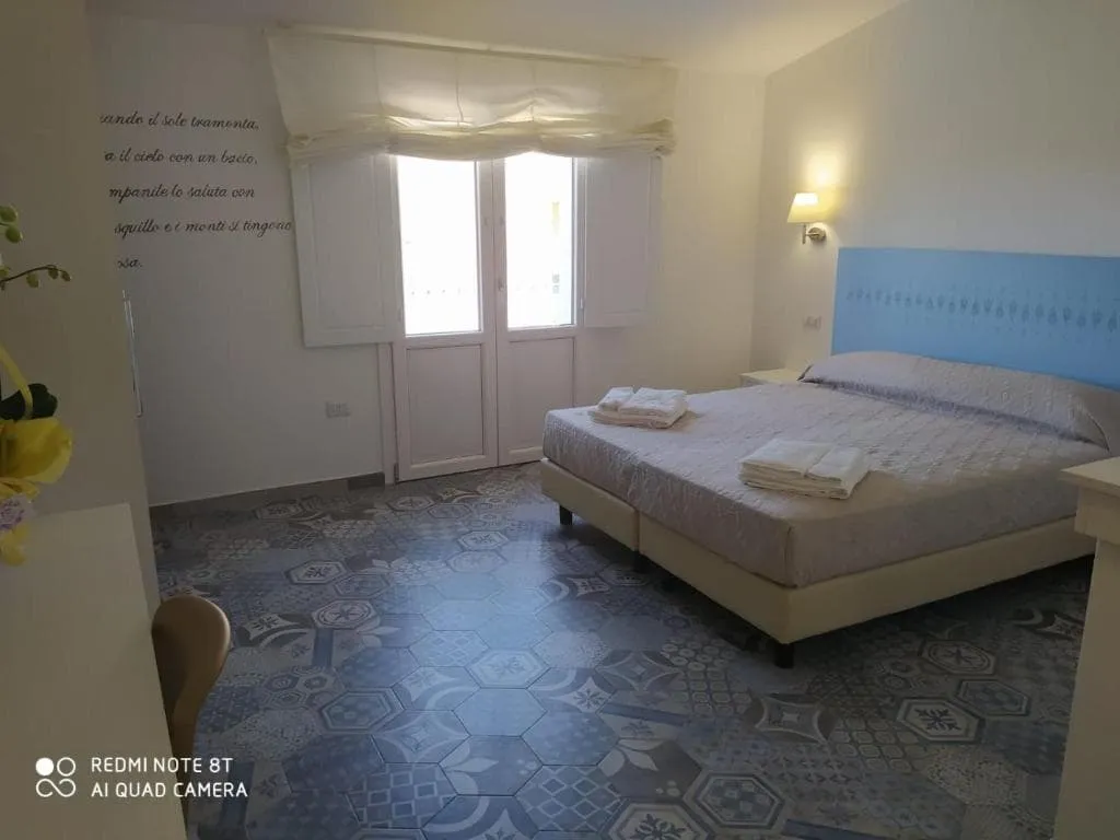
    We will arrange your accommodation on the Sardinia in hotels, inns, and guesthouses. Accommodation will be private in single, double or twin rooms and with en-suite bathroom where possible.

  • Full travel guide

    You’ll receive access to our trekking app, which serves as your complete digital travel guide for the Sardinia. Inside, you’ll find everything you need for your trek: route descriptions, hiking maps, navigation support, payment information, and all the key details specific to your journey.

  • Baggage Transfer

    This trek includes the transfer of your luggage throughout the entire Sardinia trek. Your bags will be picked up every morning from the hotel lobby and will be driven to your next next accommodation. Baggage transfers allow you to travel lighter during the day and enjoy the walk in a more relaxed manner.

  • Breakfast

    Breakfast is, if possible, included in this trek and it will be provided every morning at your accommodation.

  • Navigation support

    Our trekking app also includes built-in navigation support. With GPS-based maps and offline access, you can follow the trail confidently and stay on route even without mobile signal.

Excluded

  • Traveling to and from

    You have to make your own way to the starting point. The total amount does not include personal transport. This also applies to any transport from the end point of your trail.

  • Transfers

    If you require any form of public or local transport during the trek, it is not included in the package unless stated otherwise. This applies to taxis, buses, cable cars, gondolas, and similar services.

  • Travel Insurance

    Your international travel insurance is your own responsibility. Discuss your itinerary with the insurance company before your trek.

  • Lunch and Dinner

    Breakfast is, if possible, included in the price of the trek. You can get lunch and dinner at the shops, hotels, and restaurants along the way.

FAQ

  • When Is the Best Time for Hiking in Sardinia?

  • Are the Sardinia Hiking Trails Difficult?

  • How to Get To the Starting Point of the Via Selvaggia

  • How to Get Back After the End of the Trek

  • What if the dates I want are not available?

  • If I book now, can I immediately arrange the rest of my trip?

  • How do I know if this trek is right for me?

How to Book

  • Booking

  • Availability

  • Cancellation policy