Advanced Alta Valtournenche

Duration: 4 days
Trails: T3 trails
Distance: 15 - 20 km per day
Ascent per day: 500 - 1000 m ascent per day

> Stand high above the Matterhorn and watch the light hit the glaciers
> Cross wild alpine passes far from the crowds
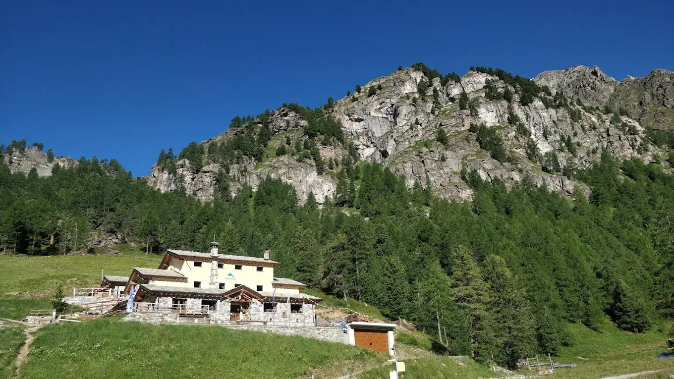
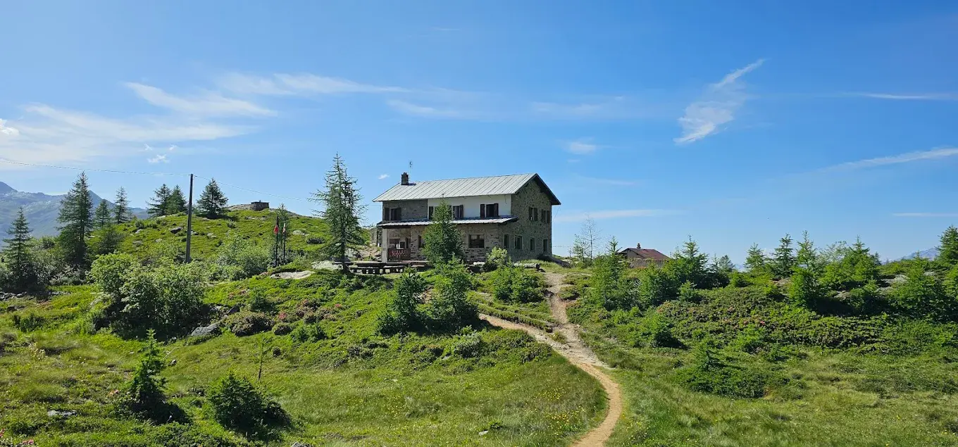
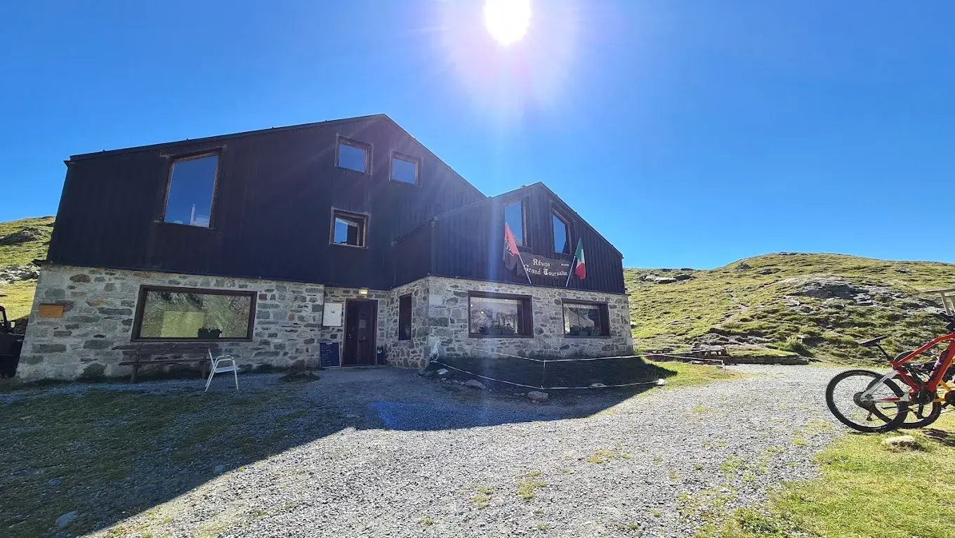
> Sleep in remote rifugios deep in Val d’Ayas and Valtournenche

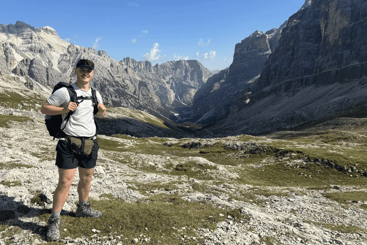
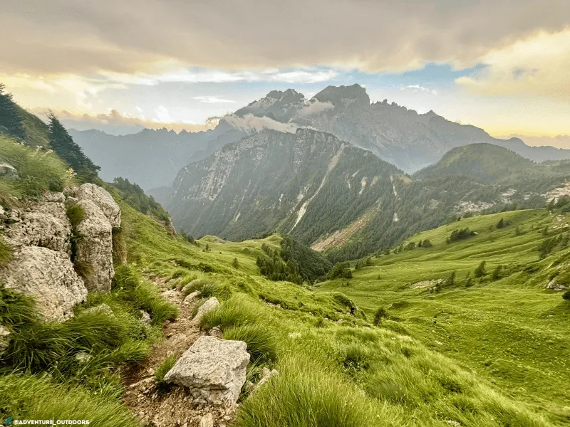
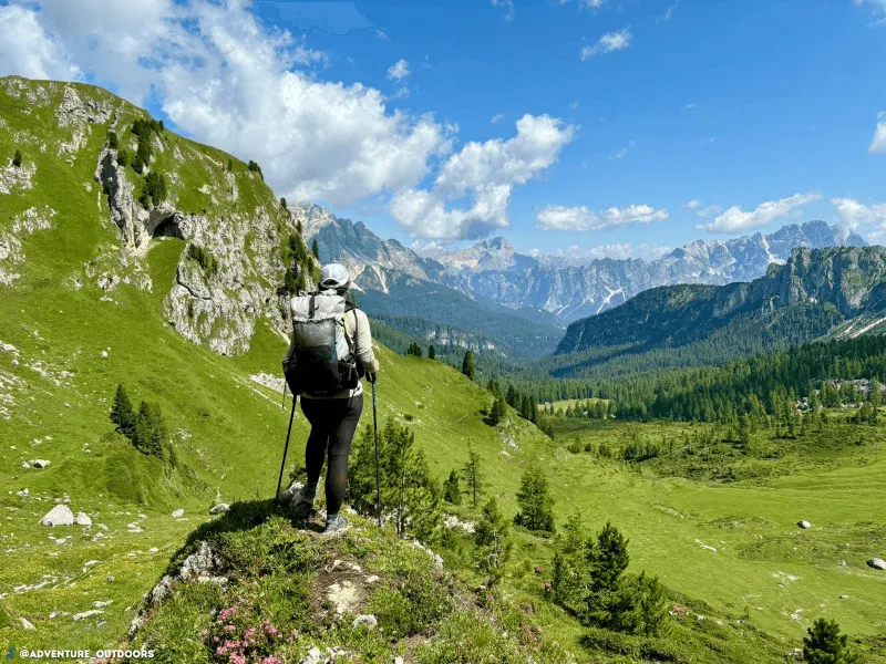
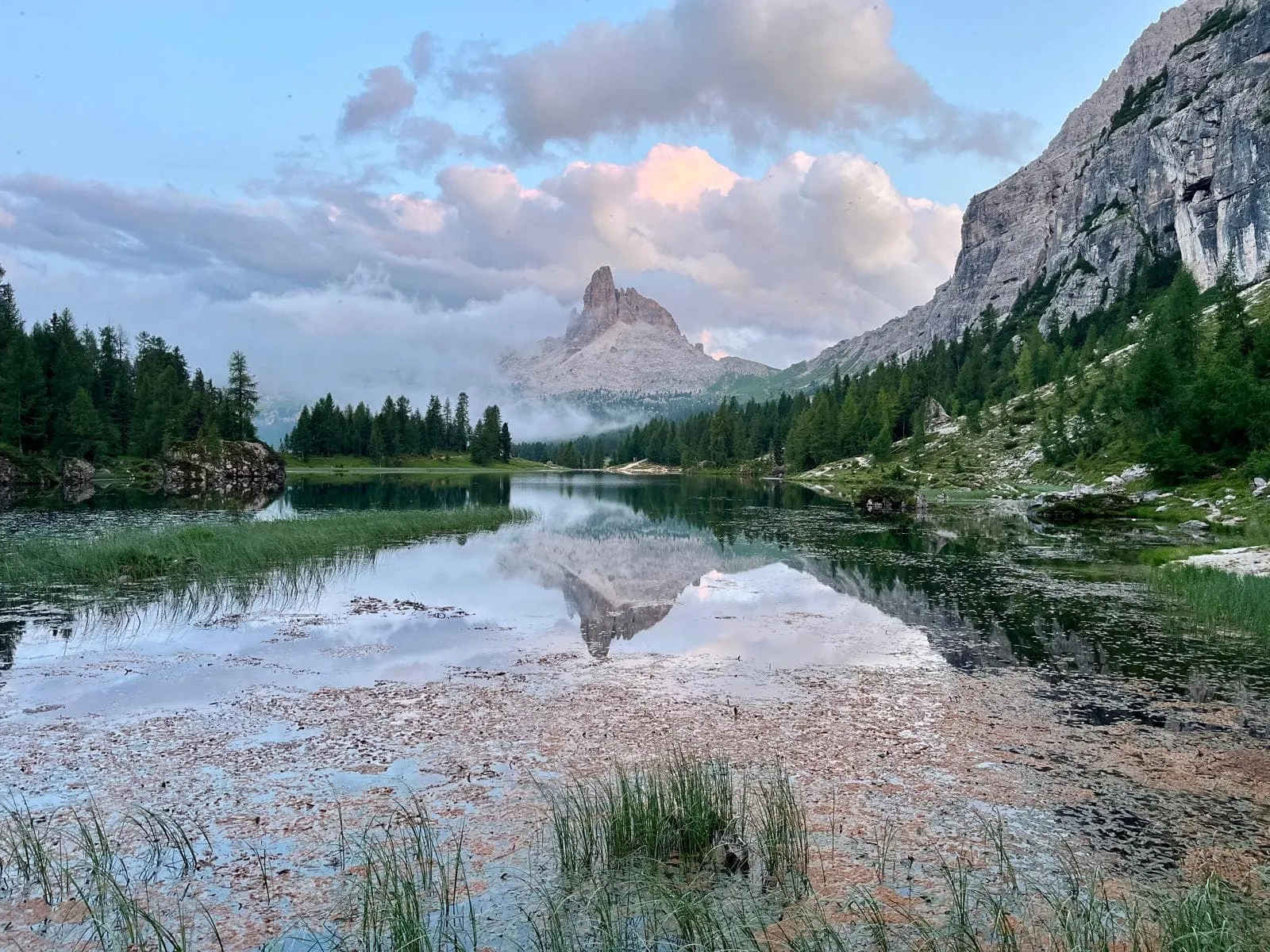
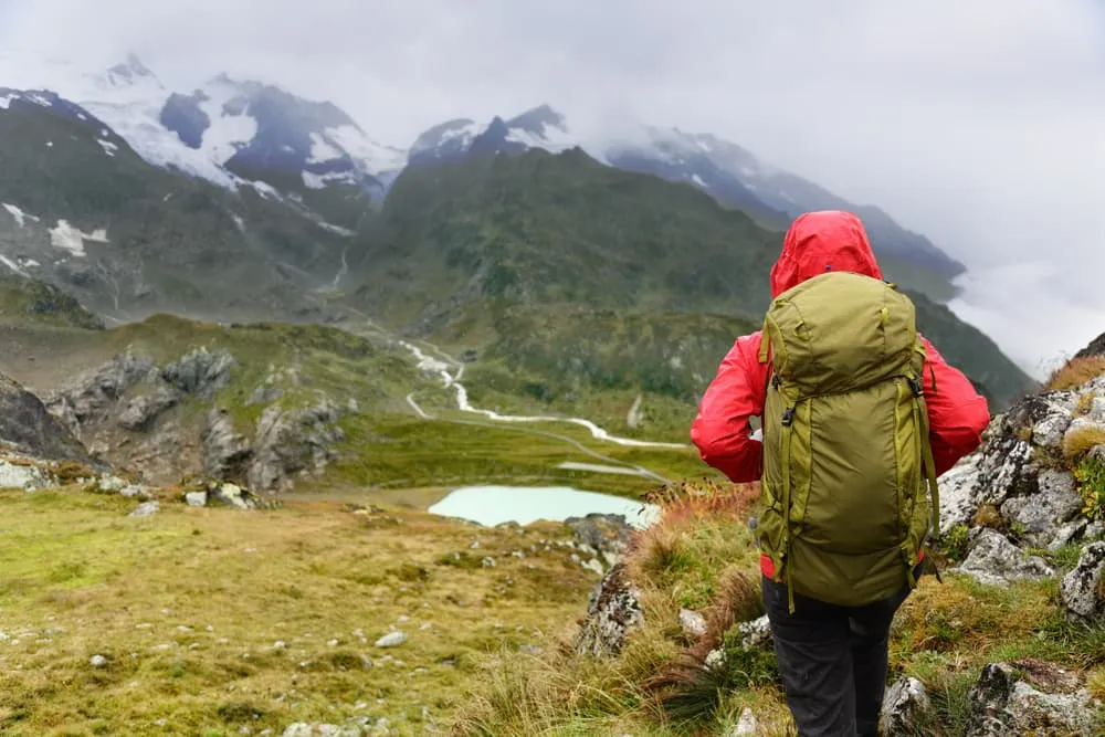
First light hits the Matterhorn, the air is thin, and you know this is not your average hut-to-hut. The Alta Valtournenche Advanced is raw, high, and beautifully remote. This 4-day trek links quiet valleys, rugged passes, and classic Aosta Valley rifugios. No shortcuts here. Just proper mountain days, long climbs, and views that stick.

This route is for experienced hikers who want more than just ticking off a trail. Expect 13 to 16 kilometers per day, serious elevation gain, and terrain that demands focus. You start at Hôtel Cuney and finish down in Staffel, crossing from Valtournenche into Val d’Ayas and back again. Legs burning, heart full. And yes, totally worth it.

Itinerary

Day
1

Hôtel Cuney - Rifugio Magià

Duration: 05:00 h
Distance: 14.2 km
Ascent: 770 m
Descent: 390 m

This opening stretch eases you into the high world above Valtournenche with a rolling traverse from Hôtel Cuney to Rifugio Magià. The route feels varied from the first steps, with open slopes, old tracks and wide mountain views, while the big peaks around the valley keep drifting in and out of sight. It is a stage that never rushes, but quietly builds atmosphere all the way to the hut.

You set off on easy terrain and first lose some height before the trail turns upward again. The route bends through alpine pasture and broken hillside beneath Monte Pisonet, with long views toward the Fenêtre d’Ersaz area and the mountains above Chamois. Around the middle section the climbing becomes steadier, though never too wild, and the trail keeps a good rhythm as it crosses quiet slopes and scattered grazing land.

The final approach to Rifugio Magià feels calm and wide open, with the hut appearing in a landscape of grass, stone and sky. After a day of warming up the legs, it is a fine place to land. You arrive with space around you, fresh mountain air in your lungs, and that nice feeling that the trek has properly begun.

Rifugio Magià

Info
Rifugio Magià
Rifugio Magià
Day
2

Rifugio Magià- Rifugio Jean Barmasse

Duration: 06:40 h
Distance: 13.7 km
Ascent: 1000 m
Descent: 840 m

This is where the route sharpens its edge. From Rifugio Magià the trail heads deeper into serious mountain country, climbing to the Fenêtre d’Ersaz before crossing into the upper basin above Valtournenche and finishing at Rifugio Jean Barmasse. It is a tougher, more alpine day, with stronger gradients, a wilder setting and a bigger sense of exposure, but the scenery gives plenty back.

The climb starts steadily from the hut and soon commits to the pass. As you rise, the terrain becomes stonier and more dramatic, with Monte Roisetta, Becca di Salé and other high points closing in around the route. The pull to the Fenêtre d’Ersaz is the key effort of the day, a sustained ascent to roughly 2900 metres, where the views suddenly open wide over the valley and the mountain walls beyond.

From the pass the trail trends down and then rolls across high ground above Lago di Cignana, with a long traverse through open alpine terrain before the final descent. Rifugio Jean Barmasse comes into view above the water, in a striking position with big mountains all around. It is a memorable arrival, the kind that makes you sit down fast, order something warm and stare out for a while.

Rifugio Jean Barmasse

Info
Rifugio Jean Barmasse
Day
3

Rifugio Jean Barmasse - Rifugio Grand

Duration: 06:55 h
Distance: 13.4 km
Ascent: 1280 m
Descent: 910 m

This stage begins gently enough, then turns into a long mountain journey with a real sting in the tail. Leaving Rifugio Jean Barmasse, you descend toward Valtournenche before climbing back into the heights on the far side of the valley to Rifugio Grand Tournalin. It is a big transition day, moving from lake and valley scenery back to high pasture, empty slopes and rugged alpine ground.

The first part drops from the hut past Lago di Cignana and down toward Valtournenche, where the route brushes the edge of village life before heading upward again. Once across the valley, the trail begins a long and steady ascent beneath Mont de Molar (2502 m), Punta Fontana Fredda (2513 m) and Punta Falinère (2763 m). The climb builds in stages and keeps asking for patience as the path works higher through open mountain terrain.

Near the top, the landscape opens beautifully and the approach to Rifugio Grand Tournalin feels remote and high, tucked beneath the ridge line and close to the great bulk of Grand Tournalin Punta Nord. You arrive after a proper day in the mountains, with tired legs, a full head and one of those huts that feels exactly where it should be.

Rifugio Grand Tournalin

Info
Rifugio Grand Tournalin
Day
4

Rifugio Grand Tournalin - Staffel Busstop

Duration: 07:10 h
Distance: 16.2 km
Ascent: 980 m
Descent: 1680 m

The final stretch is a long, satisfying descent from the high slopes around Rifugio Grand Tournalin toward the valley at Stafal. It still throws in one more climb along the way, so the day keeps its mountain character to the end. Lakes, traverses and broad views make this a rich closing chapter, with the route slowly unwinding from the high world back toward roads, lifts and the valley floor.

From the hut you first descend on mountain paths, losing height across open slopes beneath the Tournalin ridge. The trail then swings across the mountainside and climbs again toward the area around Rifugio Ferraro, with a noticeable rise to the high point of the day near Monte Bettolina and the small lakes on the plateau. After that the route turns decisively downward, following a long descent past Rifugio Jutz and across increasingly green slopes.

The arrival at Stafal comes gradually. Alpine silence gives way to signs of the valley, with lifts, buildings and bus connections appearing after hours of wild terrain. It is the kind of finish that feels both rewarding and a little abrupt, because the mountains do not really let go until the last bends. Still, stepping down at the end point, you know you have earned it.

Included

  • Full travel guide

    You’ll receive access to our trekking app, which serves as your complete digital travel guide for the Alta Valtournenche . Inside, you’ll find everything you need for your trek: route descriptions, hiking maps, navigation support, payment information, and all the key details specific to your journey.

  • Accommodation

    During your Alta Valtournenche , you will spend your nights in mountain huts. We normally book dormitories, but private rooms are available upon request and cost €75 extra per room per night. If no private rooms are available, we will automatically book a bed in a dormitory.

  • Half-board in Huts

    Accommodation at the huts includes dinner and breakfast. We will arrange this for you as well. This allows you to travel lighter and have one less thing to worry about. Bear in mind that lunch is not included, but it can be purchased at the huts. Here you can also buy an array of snacks and bottled water.

  • Navigation support

    Our trekking app also includes built-in navigation support. With GPS-based maps and offline access, you can follow the trail confidently and stay on route even without mobile signal.

Excluded

  • Traveling to and from

    You have to make your own way to the starting point. The total amount does not include personal transport.

  • Transfers

    Should you need any form of (public) transport on location, this is not part of the trekking package. This includes the use of taxi, bus, cable cars, gondolas, ferries, etc.

  • Lunch

    Half-board is included in the price of this trek. Lunch, however, is not. You can get something to eat at the mountain huts along the way.

  • Travel Insurance

    Your international travel insurance is your own responsibility. Discuss your itinerary with the insurance company before your trek.

  • Personal expenses

    Personal expenses on such as souvenirs, drinks, and other similar expenses are for your own account.

FAQ

  • What if the dates I want are not available?

  • If I book now, can I immediately arrange the rest of my trip?

  • How do I know if this trek is right for me?

  • Can meals be adapted to my dietary requirements?

How to Book

  • Booking

  • Availability

  • Cancellation policy