Preferred date sold out?
Join the waiting list, or discover our Alta Via 1 alternatives before they sell out too.

Full Alta Via 1 (Last spots!)

  • Duration
    Total 8 days
    Average 6h 16min
  • Distance
    Total 116.4 km / 72.3 mi
    Average 14.5 km / 9.0 mi
  • Ascent
    Total +6430 m / +21096 ft
    Average +804 m / +2637 ft
  • Descent
    Total -7445 m / -24426 ft
    Average -931 m / -3053 ft

> Hike the Alta Via 1, from Lago di Braies to the La Pissa bus stop
> Explore the Lagazuoi Tunnels as an optional route
> Spend the night in cozy Italian Rifugios, arranged by Bookatrekking.com


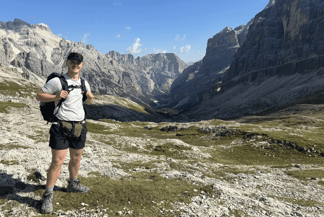
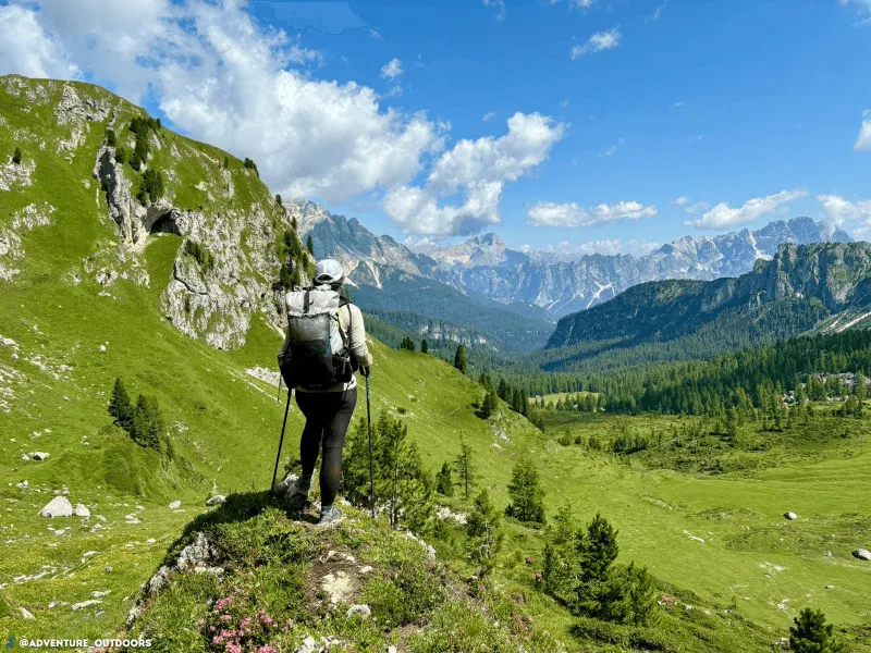
The Alta Via 1, also known as the Dolomite High Route 1, is one of Italy's most famous trekking trails and is the easiest and most popular of the high routes that go through the Dolomites. The Dolomites are located in north-eastern Italy and stretch throughout the provinces of Belluno, South Tyrol, and Trentino.

During this 8-day adventure you will hike the entire Alta Via 1, from Lago di Braies to the La Pissa bus stop. Along the way, you'll spend the entire day exploring the breathtaking Dolomites. When trekking in the Lagazuoi area, this route also offers the possibility to take the famous Lagazuoi Tunnels as an optional alternative route, a section of great historical significance from World War I. You will spend the night in atmospheric and hospitable mountain huts, also called rifugios. Here you can enjoy delicious Italian dishes and meet many other hikers. Bookatrekking.com makes sure that your huts are booked including dinner and breakfast. The only thing left for you to do is to enjoy the beautiful trails on the Alta Via 1.

Itinerary

Day
1

Lago di Braies - Rifugio Pederü

Duration: 06:15 h
Distance: 14.4 km / 8.9 mi
Ascent: 1210 m / 3970 ft
Descent: 1160 m / 3806 ft
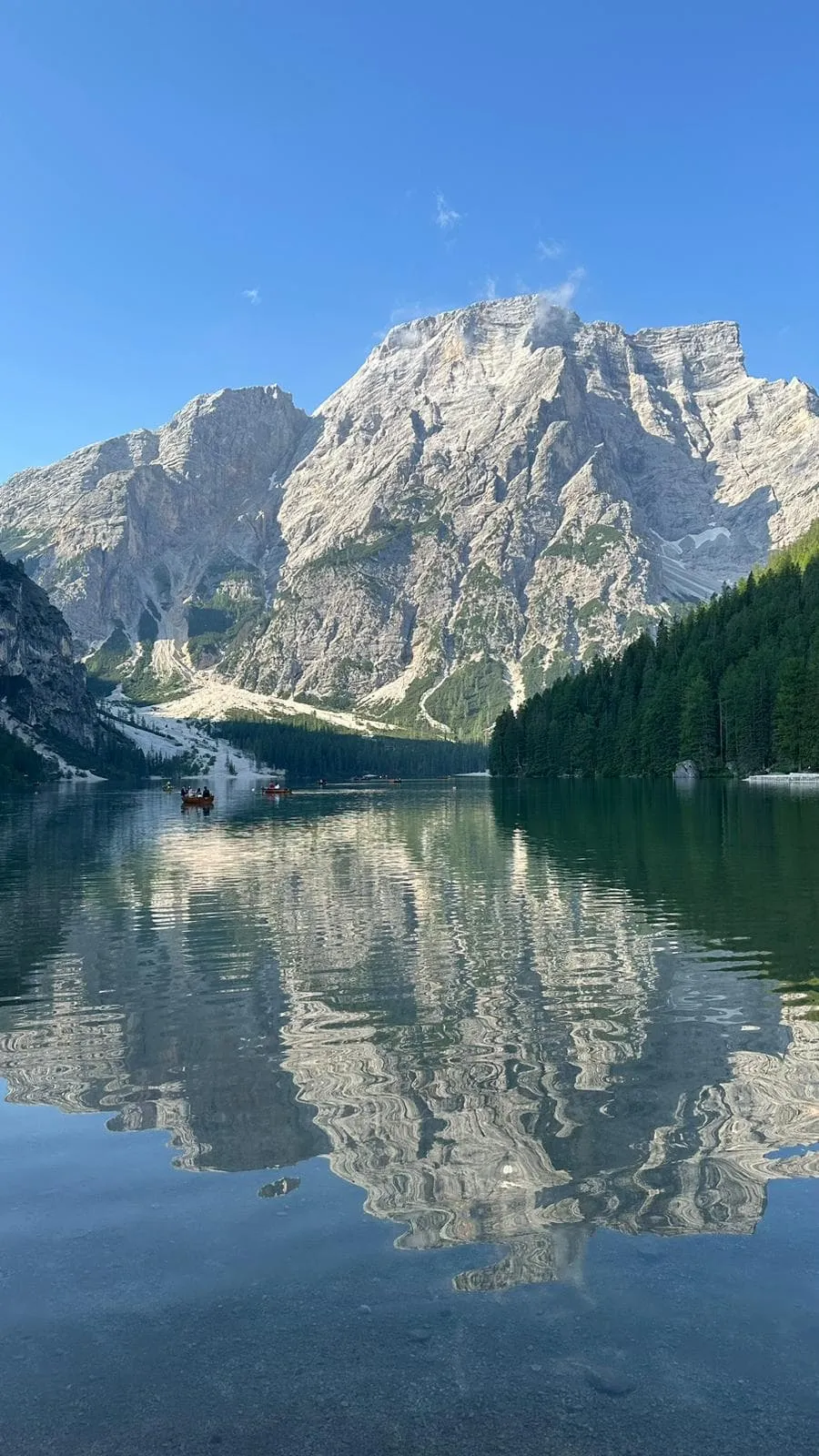
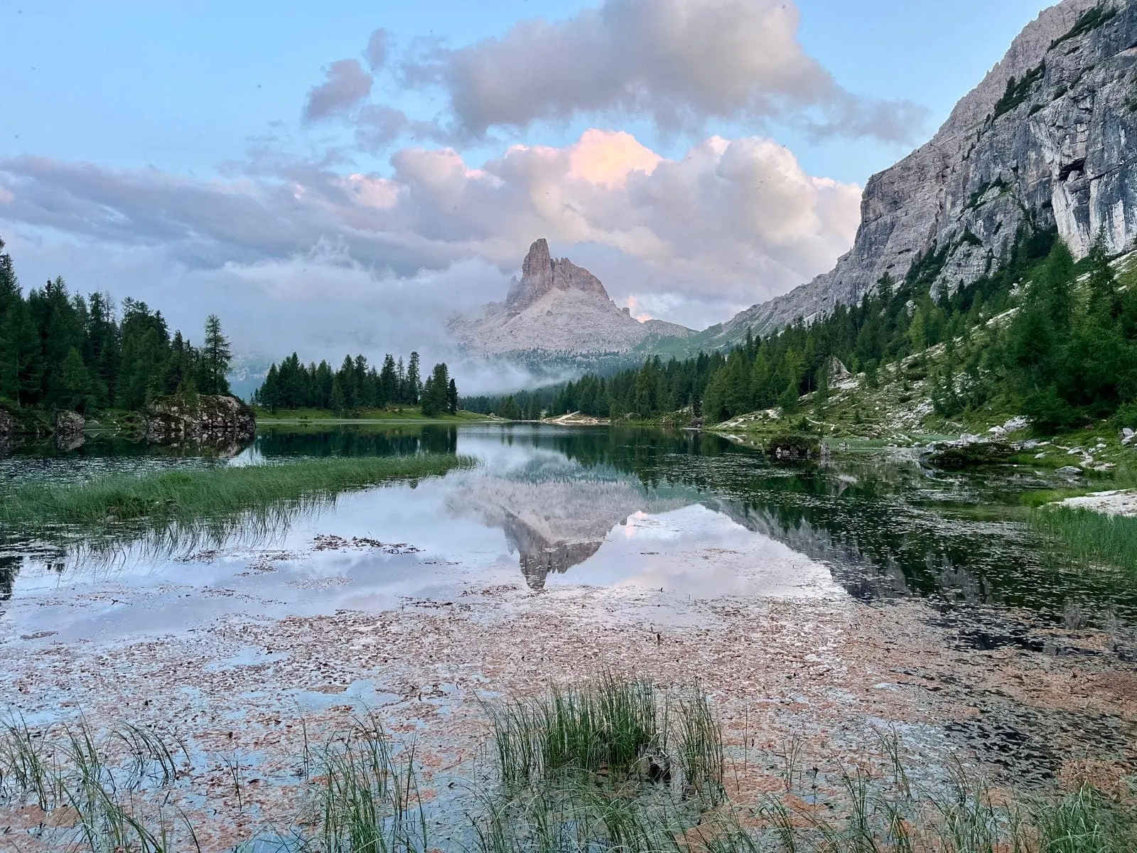
The first stage starts at the beautiful Alpine lake Lago di Braies, surrounded by towering mountain peaks and pine forests. It starts with a steady climb to the first pass Forcella Sora Forno. On this part of the route you encounter several steep rock faces which you cross via short but exciting zigzag routes using cables. At the pass you enter the Dolomiti National Park. The Panorama of the wide, expansive pass is vast and breathtaking, including views of the peaks of the northern Dolomites, as well as the peaks of Marmolada and Tofane. You then begin a steep descent into the rocky valley with fascinating orange rock walls, the last part of the stage consists of a final long downhill section.

Rifugio Pederü

Info
Rifugio Pederü
Rifugio Pederü
Day
2

Rifugio Pederü - Rifugio Scotoni

Duration: 06:15 h
Distance: 15.8 km / 9.8 mi
Ascent: 980 m / 3215 ft
Descent: 535 m / 1755 ft

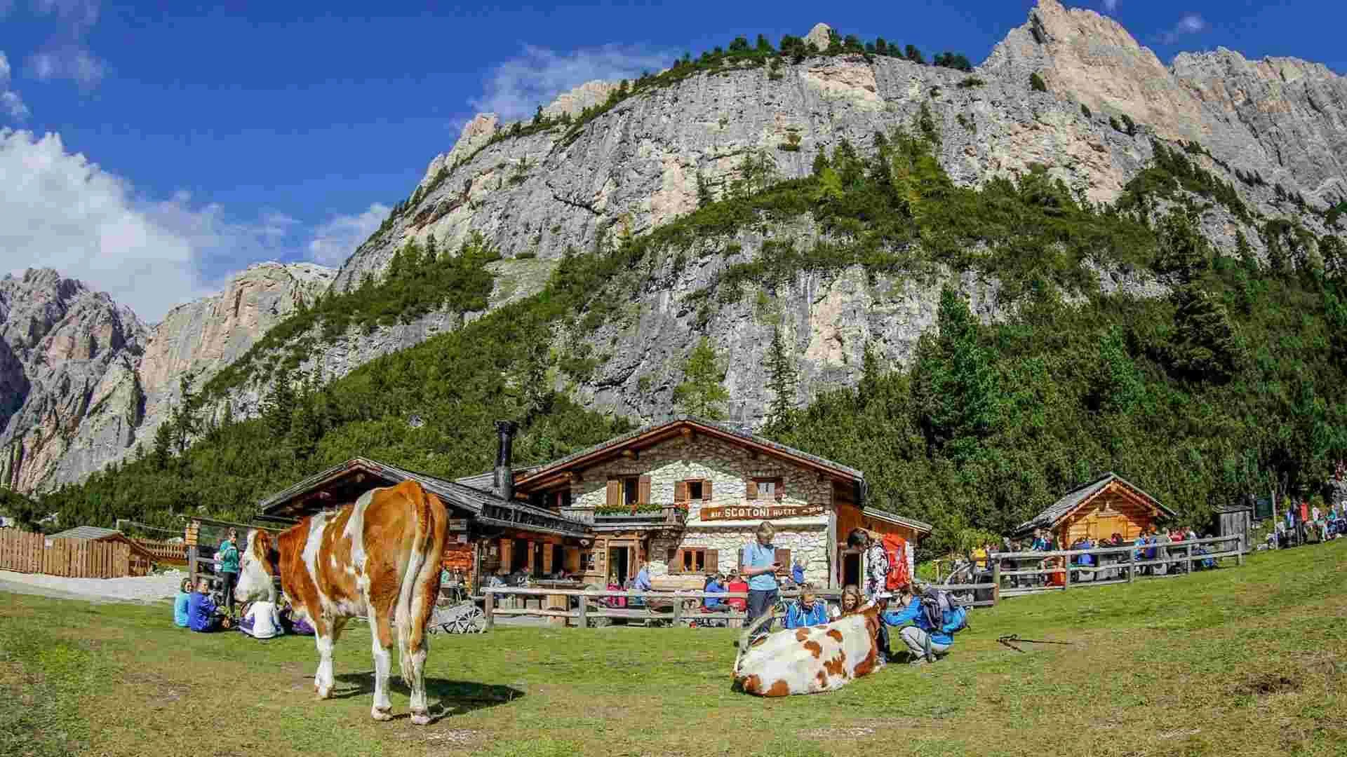
This stage leads from Rifugio Pederü to Rifugio Scotoni, with 980 m of ascent and 540 m of descent over almost 16 km. The profile shows a steady climb from the start, followed by a long high section and a clear descent before the final uphill approach. It is a demanding mountain day, with open alpine terrain, wide Dolomite views and several changes in rhythm before you reach the hut.

From Rifugio Pederü, the trail climbs steadily through the Fanes-Sennes-Braies Nature Park, gaining height towards the upper mountain basins. Along the way, you pass viewpoints towards the Fanes plateau and the Sella Group, with high peaks such as Monte Stiga (2,786 m), Col Becchei Dessora (2,794 m) and Piza de Campestrin Nord (2,834 m) and Sud (2,910 m) visible around the route. After the higher traverse, the trail descends towards the valley floor, before climbing again in the final kilometres towards Rifugio Scotoni.

You arrive at Rifugio Scotoni after a varied stage with a long climb, a high traverse, a descent and one last uphill push. The mountain hut is a welcome place to rest, eat and settle in after this broad crossing through the Dolomites.

Rifugio Scotoni

Info
Rifugio Scotoni
Rifugio Scotoni
Day
3

Rifugio Scotoni - Rifugio Scoiatolli

Duration: 05:35 h
Distance: 12.2 km / 7.6 mi
Ascent: 900 m / 2953 ft
Descent: 640 m / 2100 ft

This stage leads from Rifugio Scotoni to Rifugio Scoiattoli, with 900 m of ascent and 640 m of descent over varied Dolomite terrain. The profile starts with a steady climb towards the Lagazuoi Pass, then follows a long descent before rising again near the finish. It is a demanding mountain day, with rocky surroundings, high viewpoints and several changes in rhythm. Take your time early on, as the main ascent comes right from the start.

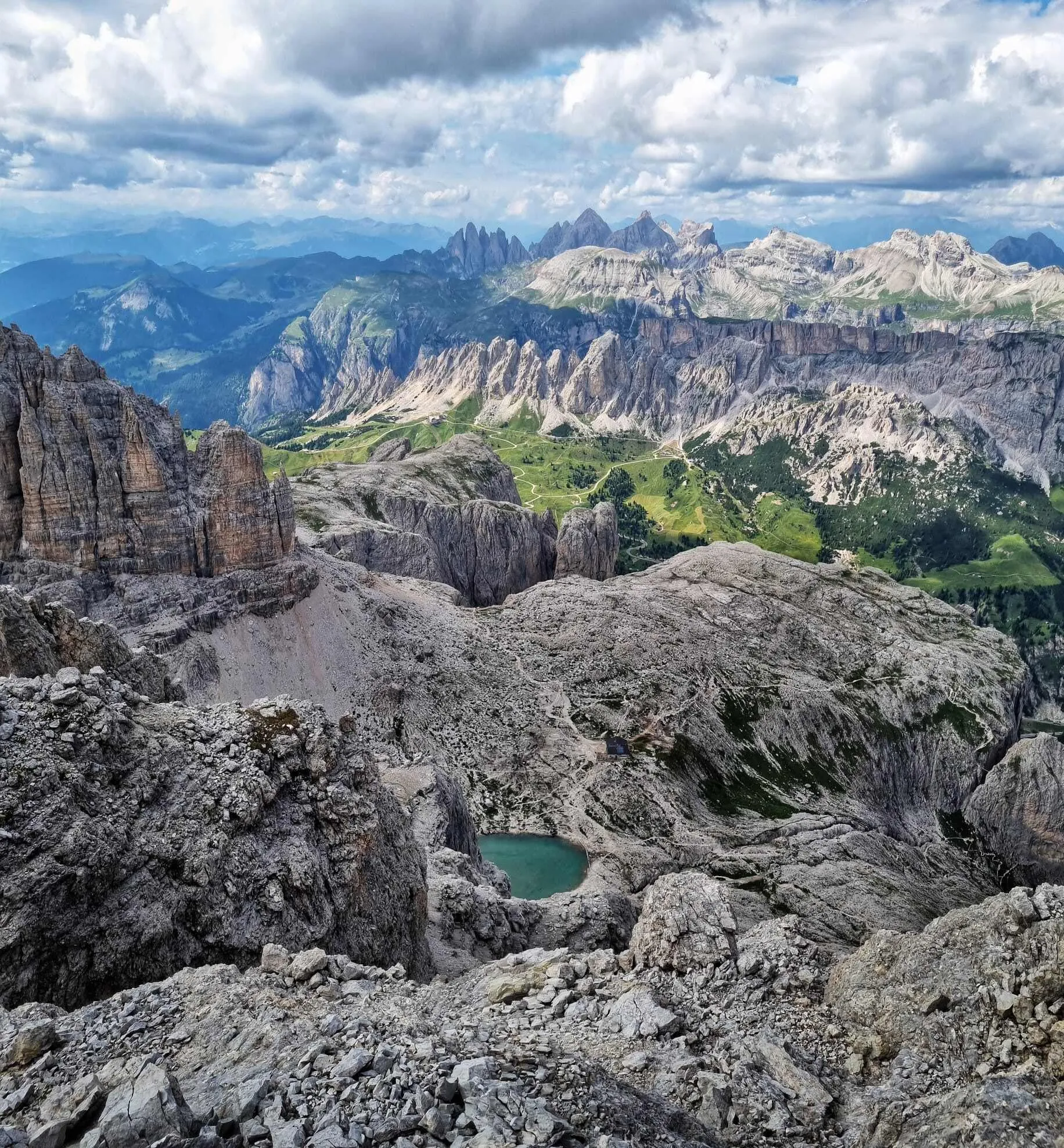
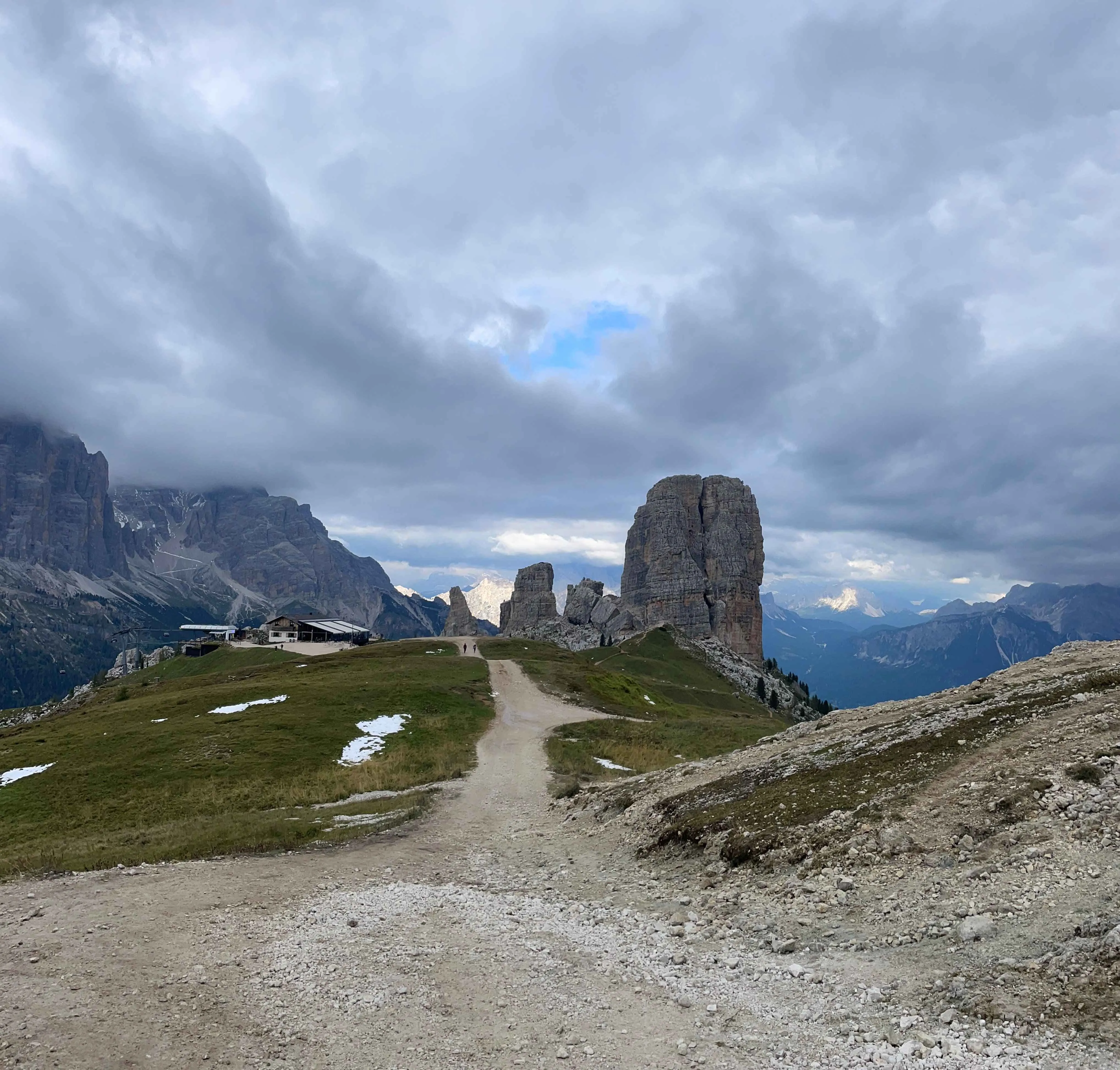
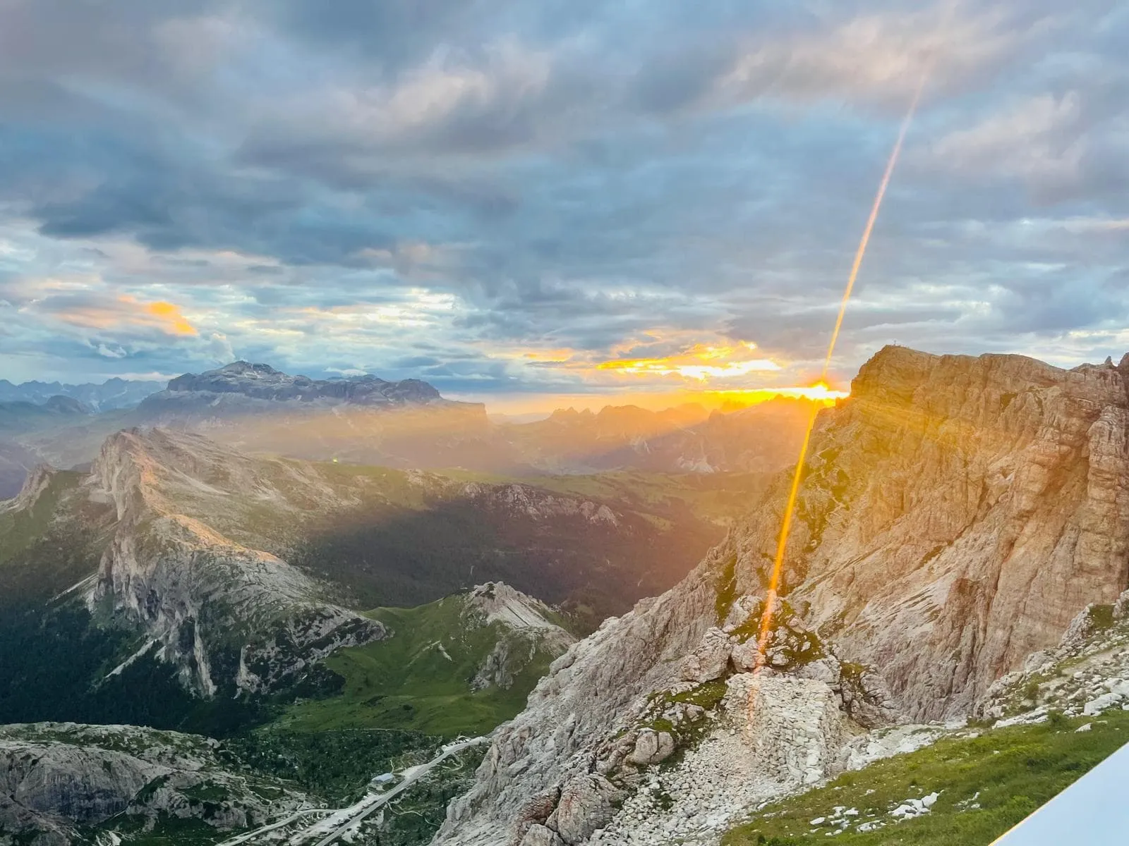
From Rifugio Scotoni, the trail climbs aboveLagazuoi Lake and continues towards the area around Lagazuoi Piccolo (2,835 m). The route then passes close to Lagazuoi Sud (2,835 m) and Torre Grande di Falzarego (2,482 m), with nearby highlights including the Lagazuoi Tunnels and World War I trenches. After the higher section, the trail descends around Travenanzes Pass, continuing through mountainous terrain via the Col dei Bos Pass towards the final climb near the Cinque Torri.

The last part climbs towards Rifugio Scoiattoli, close to the iconic Five Towers area. After a stage with a strong opening climb, a long descent and a final uphill push, the mountain hut is a welcome place to rest and take in the surrounding Dolomite scenery.

Rifugio Scoiattoli

Info
Rifugio Scoiattoli
Rifugio Scoiattoli
Day
4

Rifugio Scoiattoli - Rifugio Passo Staulanza

Duration: 06:40 h
Distance: 16.6 km / 10.3 mi
Ascent: 580 m / 1903 ft
Descent: 1040 m / 3412 ft

The stage begins with the most technically challenging and exposed part of the entire route: a series of via ferrata paths with cables and ladders descending from Nuvolau into the valley. This section is thrilling but short. If you follow our route, you’ll pass by this via ferrata but won’t actually use it. You will, however, encounter a section with ladders and fixed cables to hold on to. These kinds of cables are common along the route; they are there for extra support and do not require any special equipment.

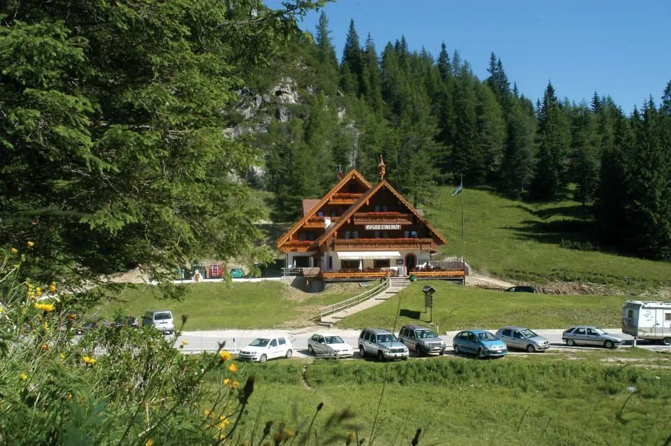
Then you descend the rest of the way to a mountain pass near the valley where you start climbing again, to the pass of Forcella Ambrizzola. As you cross this pass, the impressive Monte Pelmo looms in the background. Here you descend through stretches of forest until Monte Pelmo, also known as the Throne of the Gods, suddenly comes incredibly close. You continue past Rifugio Città di Fume to the Staulanza pass where you find the cozy Rifugio Passo Staulanza.

Tip: At Rifugio Passo Staulanza you can relax and recharge after a long day on the trails in their wellness center and hot tub with stunning views of Monte Pelmo (extra fee). The hut also offers a laundry and drying service for an additional charge, should you wish to use it.

Rifugio Passo Staulanza

Info
Rifugio Passo Staulanza
Day
5

Rifugio Passo Staulanza - Rifugio Vazzoler

Duration: 05:25 h
Distance: 16.3 km / 10.1 mi
Ascent: 900 m / 2953 ft
Descent: 970 m / 3182 ft
Today you will make a long steep ascent past Rifugio Coldai where you will enter the surroundings of Monte Civetta. Along the way you will enjoy some of the best views of the magnificent massive Pelmo that towers high above the valley from Rifugio Coldai. Continue on to the beautiful Lago Coldai. You can take a break at Rifugio Tissi, a popular rifugio on the Alta Via 1, but the goal for today is Rifugio Vazzoler, on the south side of Punta de Gasperi.

Rifugio Vazzoler

Info
Rifugio Vazzoler
Rifugio Vazzoler
Day
6

Rifugio Vazzoler - Rifugio Carestiato

Duration: 05:15 h
Distance: 9.19 km / 5.7 mi
Ascent: 640 m / 2100 ft
Descent: 540 m / 1772 ft
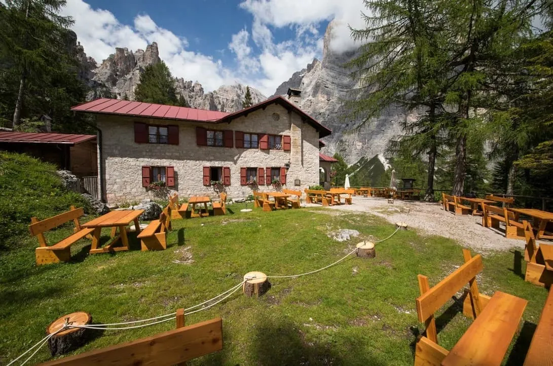
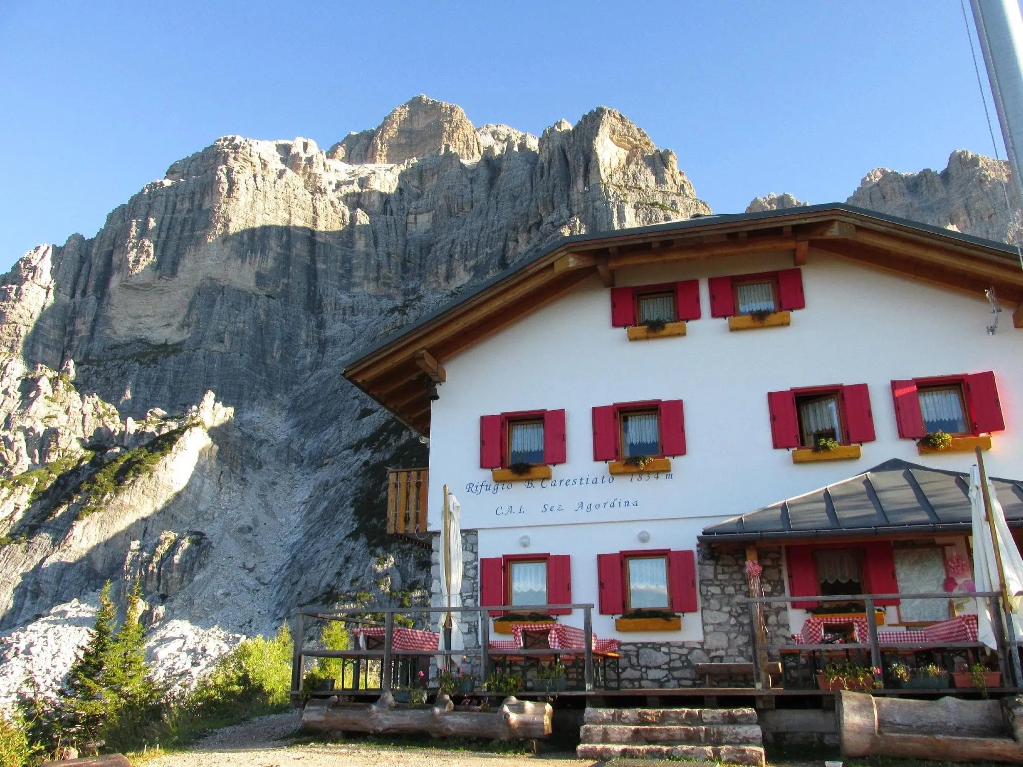
From Rifugio Vazzoler you will descend gently through meadows across from the phenomenal Monte Civetta as you round the southernmost corner of the Civetta. From here you will begin a steady climb approaching the thrilling pass of Col de l'Ors. After this follows a brief short climb to Forcella del Camp. You descend and traverse through large hoods and scree before reaching Rifugio Carestiato.

Rifugio Carestiato

Info
Rifugio Carestiato
Rifugio Carestiato
Day
7

Rifugio Carestiato - Rifugio Pramperet

Duration: 06:00 h
Distance: 13.6 km / 8.5 mi
Ascent: 500 m / 1640 ft
Descent: 450 m / 1476 ft

Your hike today begins at the foot of the Moiazza Mountains. From Rifugio Carestiato walk down in a southeast direction until you reach the Dolomiti Bellunesi National Park. After about 2.5 kilometers you will arrive at Passo Duran. Here you will find, among other things, Rifugio San Sebastiano, a small church and have a beautiful view of the Moiazza and San Sebastiano mountains.Continue walking south and after about 3 kilometers you will pass Forcella Dagarei (1642m).

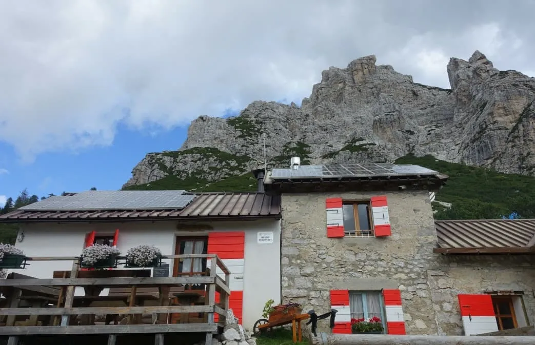
From Forcella Dagarei the path slowly starts to climb again and after about 4.5 kilometers and 260 altimeters you will arrive at Malga Moschesin. From here the trail continues in an easterly direction. After Malga Moschesin you still have to walk uphill for a short distance, but after this last stretch the climbing is over for today. During the last kilometers of the day you walk mainly downhill and before you know it you have arrived at Rifugio Sommariva al Pramperet.

Rifugio Pramperet

Info
Rifugio Pramperet
Rifugio Pramperet
Day
8

Rifugio Sommariva al Pramperet - La Pissa

Duration: 08:40 h
Distance: 18.3 km / 11.4 mi
Ascent: 720 m / 2362 ft
Descent: 2110 m / 6923 ft

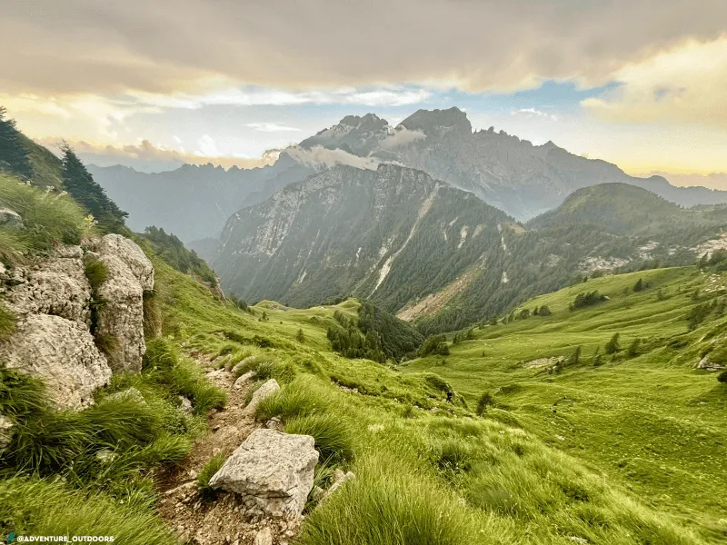
The final leg of your hike is about to begin. According to many, this is the most beautiful part of the complete Alta Via 1! From the Rifugio you will walk westward where you will have a view of the Cime di Zita formation. From here begins the climb to one of the most difficult passes of the entire trek, the Forcella di Zita Sud. This is one of the most beautiful passages of the entire Alta Via 1. After a final steep ascent, you reach the narrow, exposed Rocky Ridge. Here you have several steep sections, which are short, but certainly not easy. The pass is the gateway to one of the most beautiful descents of the Alta Via 1. The descent is gradual at first, but then goes down steeply along a grassy ridge before you reach Rifugio Pian di Fontana.

From Rifugio Pian di Fontana, you descend quickly for a short but steady wooded climb to a grassy path and dizzying views downward. After passing Rifugio Bianchet, you enter a beautiful ravine as you make the final descent to the La Pissa bus stop, where the Alta Via 1 ends.

Contact our Trekking Expert
Jelle Tekstra
Jelle Tekstra
Jelle Tekstra

Included

  • Booking the huts

    We will take care of arranging accommodation on the Alta Via 1 for you. We will also provide you with a detailed itinerary for every stage and instructions on how to get to the trailhead.

  • Accommodation

    During your Alta Via 1, you will stay overnight in comfortable accommodations. You'll sleep in private rooms, ensuring a good night's rest after each day on the trail.

  • Full travel guide

    You’ll receive access to our trekking app, which serves as your complete digital travel guide for the Alta Via 1. Inside, you’ll find everything you need for your trek: route descriptions, hiking maps, navigation support, payment information, and all the key details specific to your journey.

  • Accommodation

    During your Alta Via 1, you will spend your nights in mountain huts. We normally book dormitories, but private rooms are available upon request and cost €75 extra per room per night. If no private rooms are available, we will automatically book a bed in a dormitory.

  • Half board in huts (where possible)

    Accommodation in the huts includes dinner and breakfast, unless otherwise indicated in the exclusive list. This allows you to travel lighter and not have to worry about an extra meal. Please note, however, that lunch is not included, but can be purchased at the huts.

  • Navigation support

    Our trekking app also includes built-in navigation support. With GPS-based maps and offline access, you can follow the trail confidently and stay on route even without mobile signal.

Excluded

  • Traveling to and from

    You have to make your own way to the starting point. The total amount does not include personal transport.

  • Transfers

    Should you need any form of (public) transport on location, this is not part of the trekking package. This includes the use of taxi, bus, cable cars, gondolas, ferries, etc.

  • Lunch

    Half-board is included in the price of this trek. Lunch, however, is not. Many huts offer packed lunches, which can usually be requested the night before. Alternatively, you can stop for lunch at mountain huts along the way.

  • Travel Insurance

    Your international travel insurance is your own responsibility. Discuss your itinerary with the insurance company before your trek.

  • Personal expenses

    Personal expenses on such as souvenirs, drinks, and other similar expenses are for your own account.

  • Dinner Rifugio Pederü

    Where possible we book accommodations on a half-board basis but at Rifugio Pederü only breakfast is included. In the evening you can dine at the hut without any problems and pay for it in cash on the spot. So make sure you take enough cash with you on trek.

FAQ

  • When Is the Best Season to Hike the Alta Via 1 in the Dolomites?

  • Difficulty of the Alta Via 1: Is This Trek Right for Me?

  • How to Get To the Starting Point of the Alta via 1

  • How to Get From the Endpoint Back to Cortina D’Ampezzo

  • What if the dates I want are not available?

  • If I book now, can I immediately arrange the rest of my trip?

  • How do I know if this trek is right for me?

  • Can meals be adapted to my dietary requirements?

How to Book

  • Booking

  • Availability

  • Cancellation policy