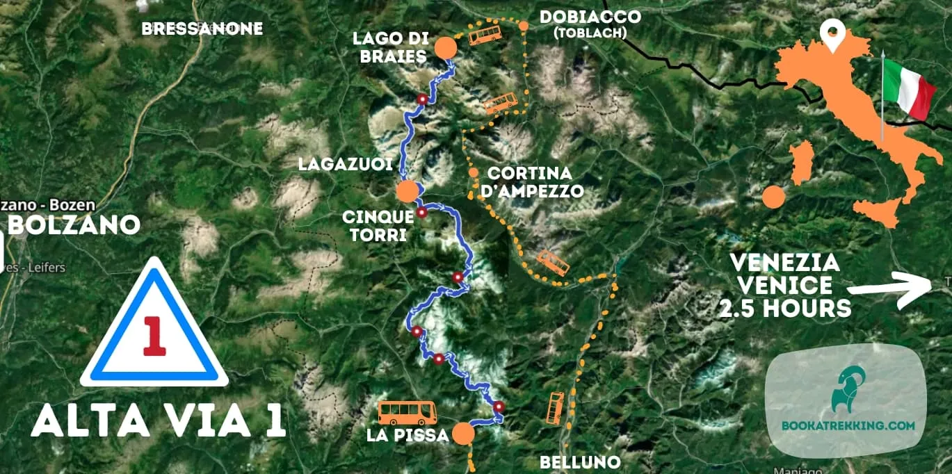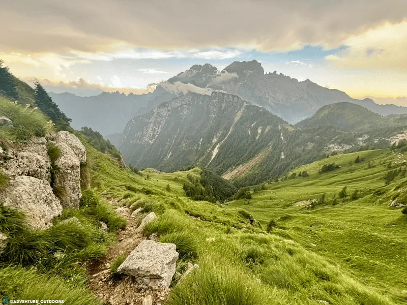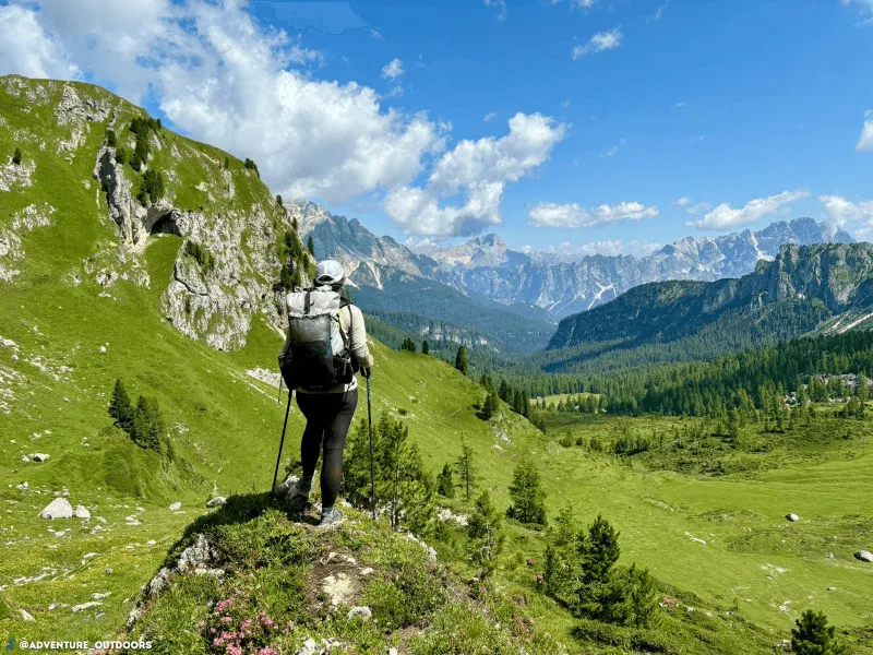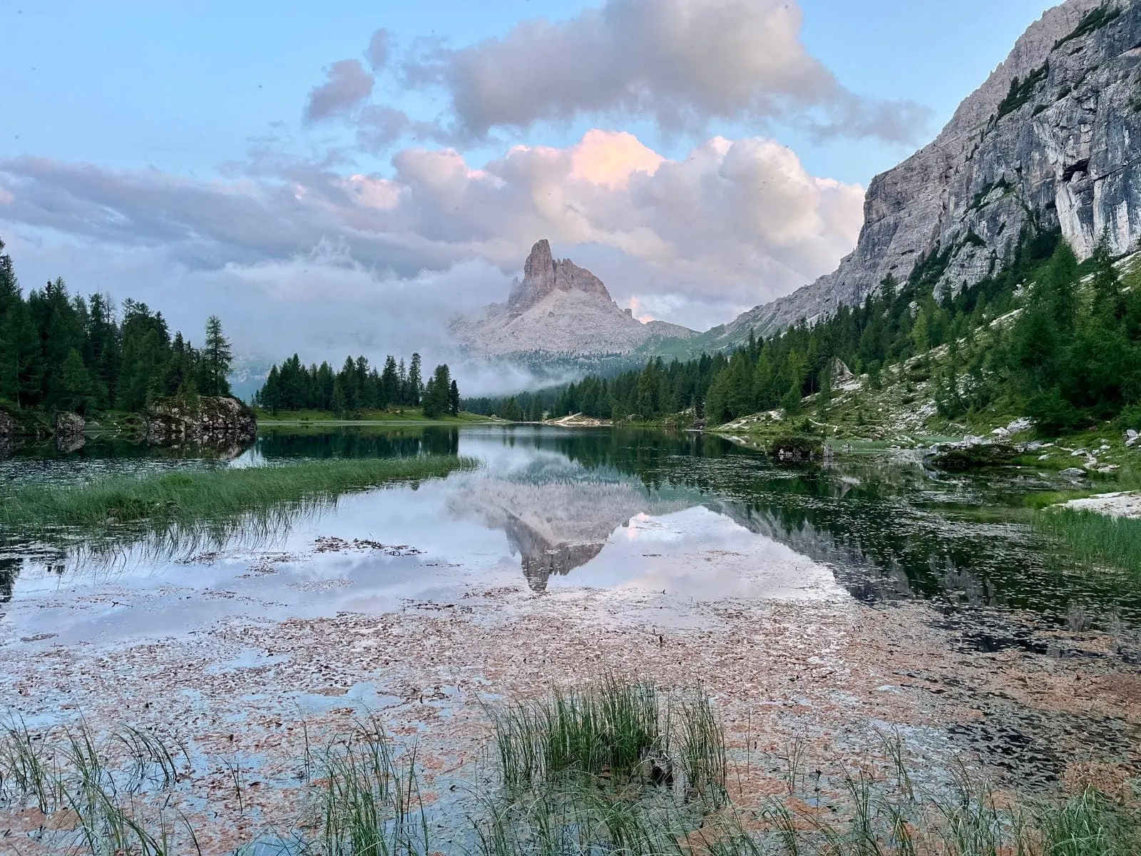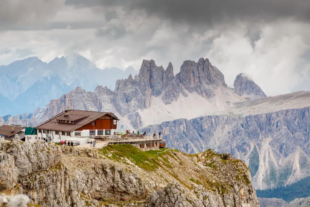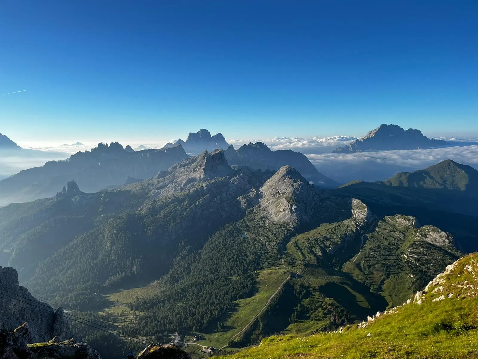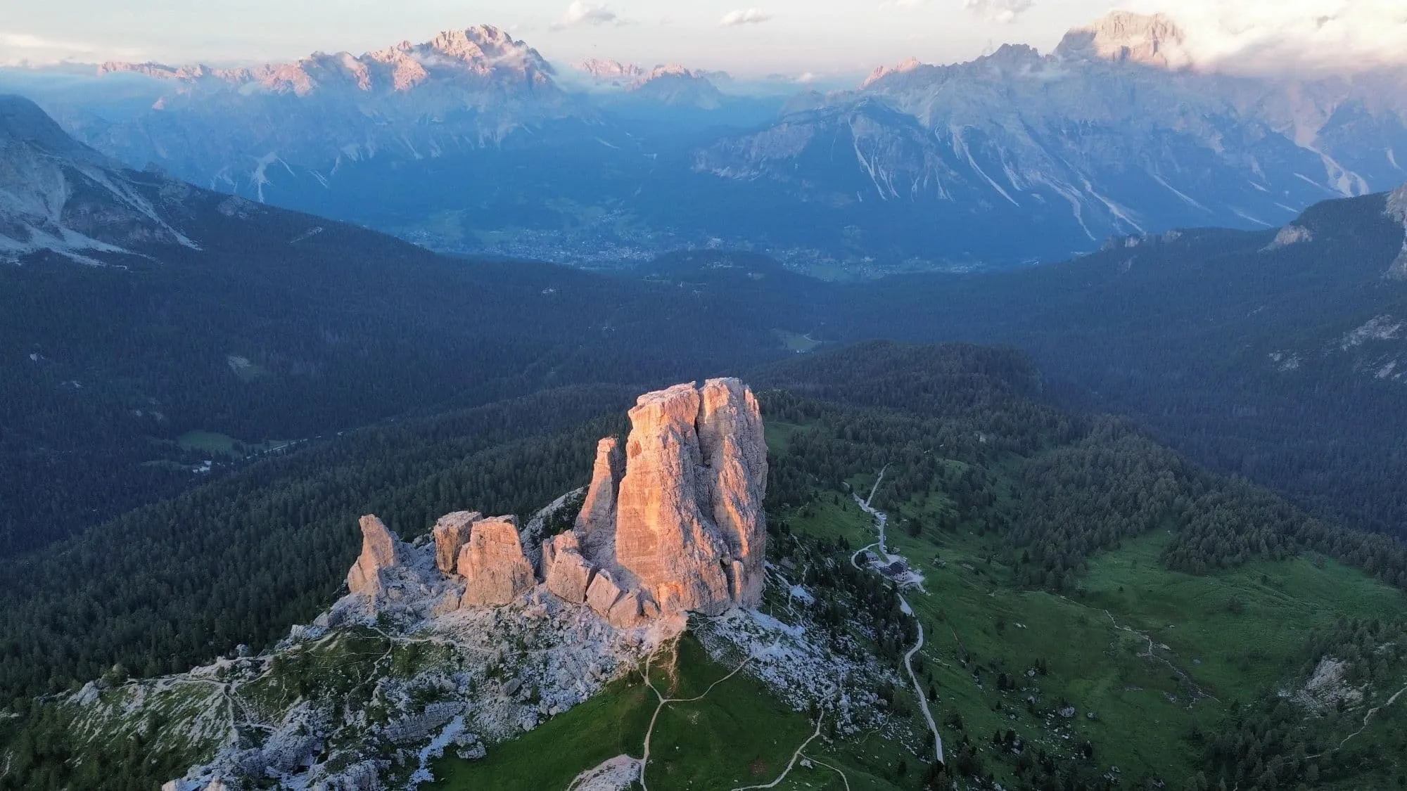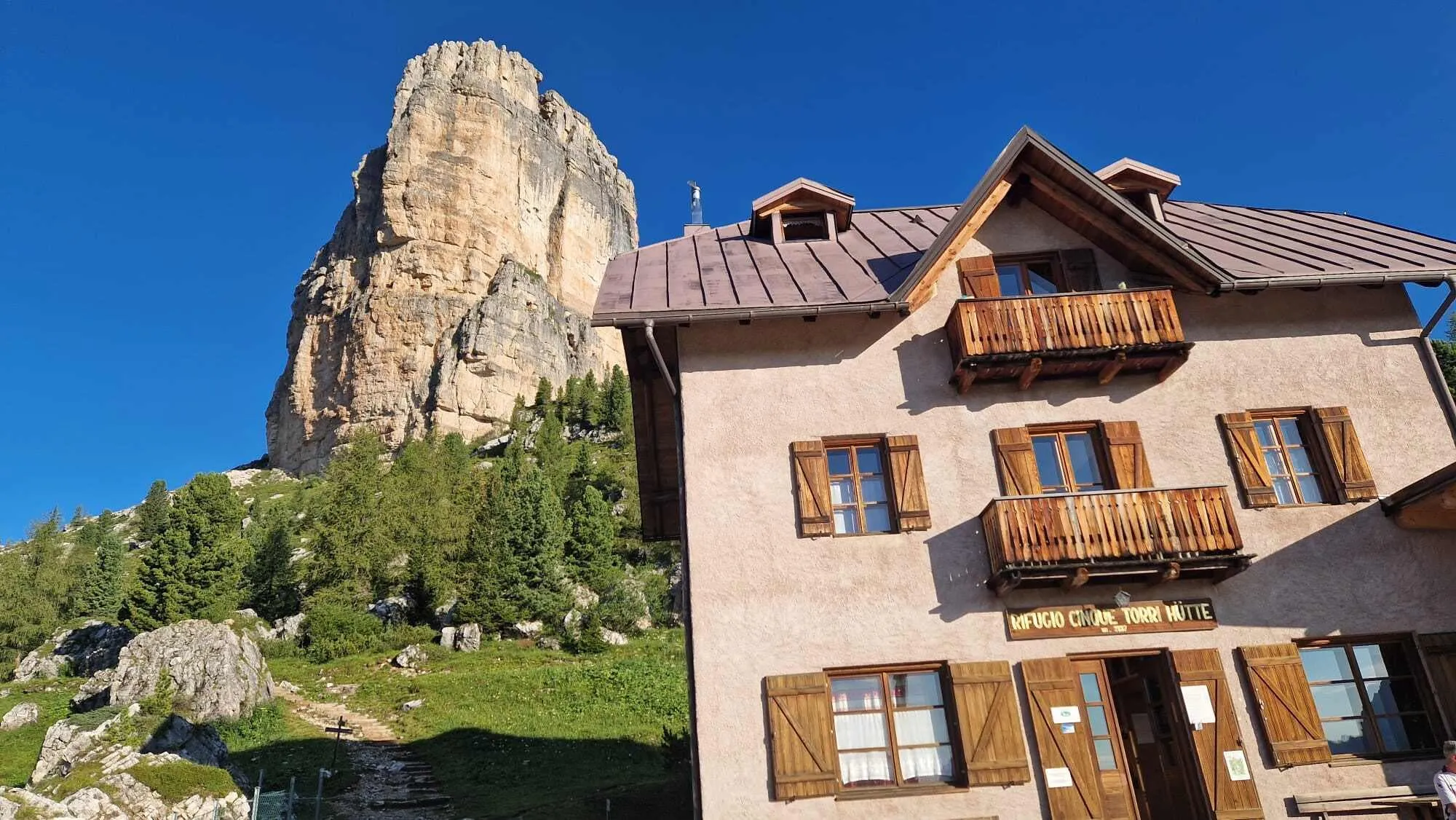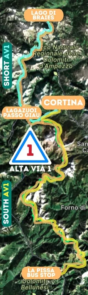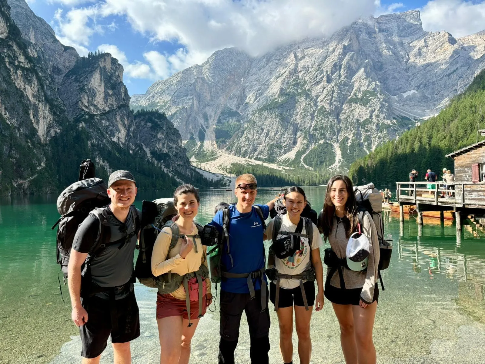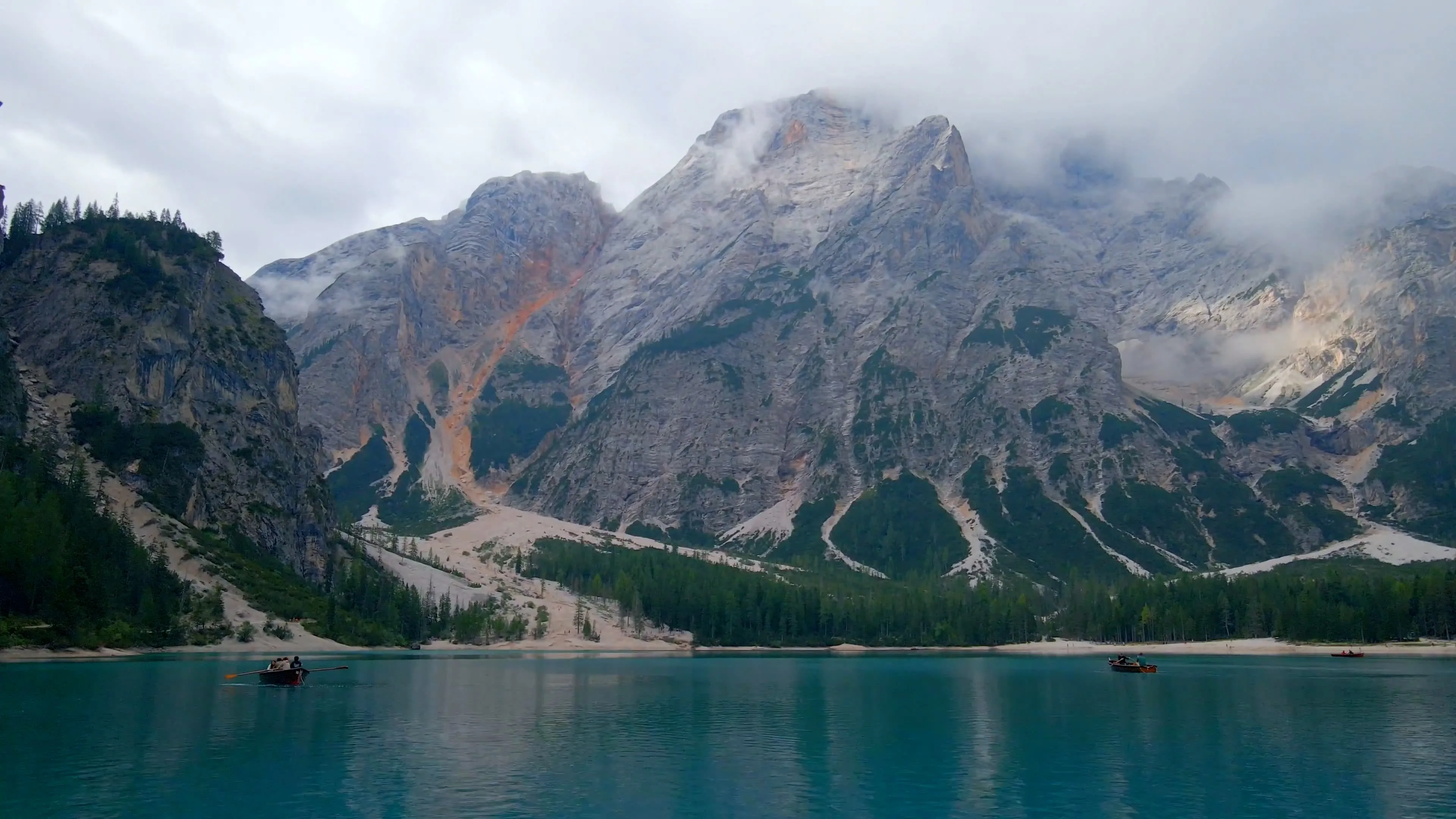
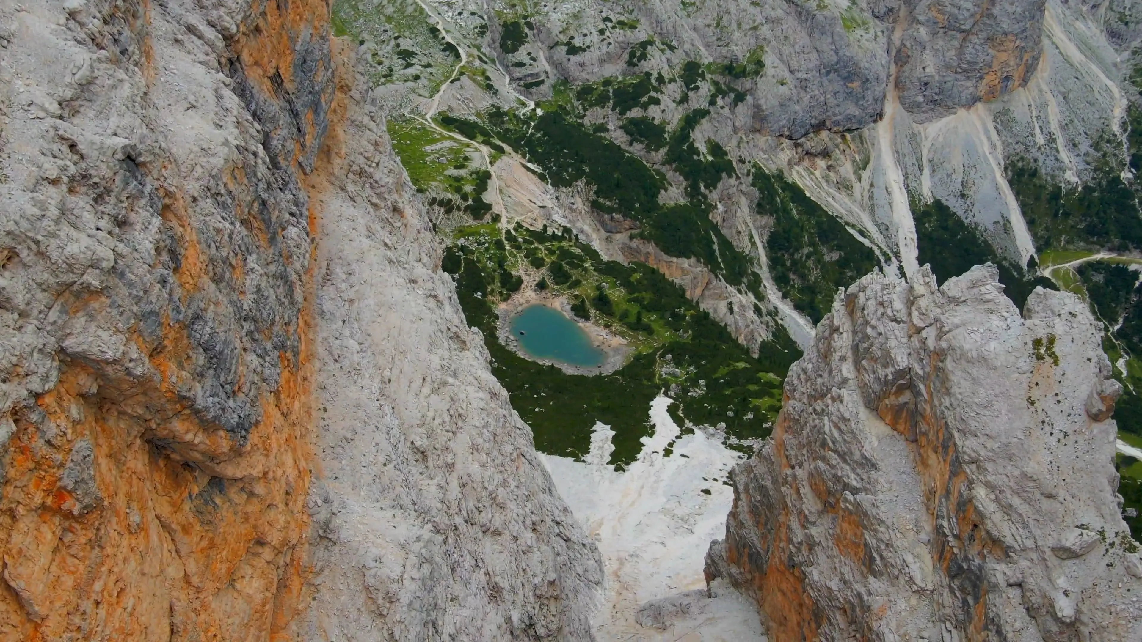
Alta Via 1, often hailed as the queen of all Alta Vias — a Dolomites classic — is on your bucket list. Of course, it is! This isn’t just another trail; it’s a journey through some of Italy's most dramatic limestone peaks. Think cozy mountain huts serving up hearty South Tyrolean dishes, paired with wild, rugged landscapes that make every step feel like an adventure. As a true hut to hut hiking Dolomites experience, the Alta Via 1 strikes the perfect balance between thrilling trekking and well-earned comfort, making it an unforgettable journey.
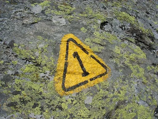
We discuss the difficulty of the route, introduce you to different options, and explain to you what it's like to spend the night in a mountain hut. Every year we help hundreds of hikers with booking huts along one of the most popular hiking routes in Europe . The Dolomites are hot and happening and if you want to experience the magic of the Dolomite High Route 1, you better get prepared early. Andiamo!