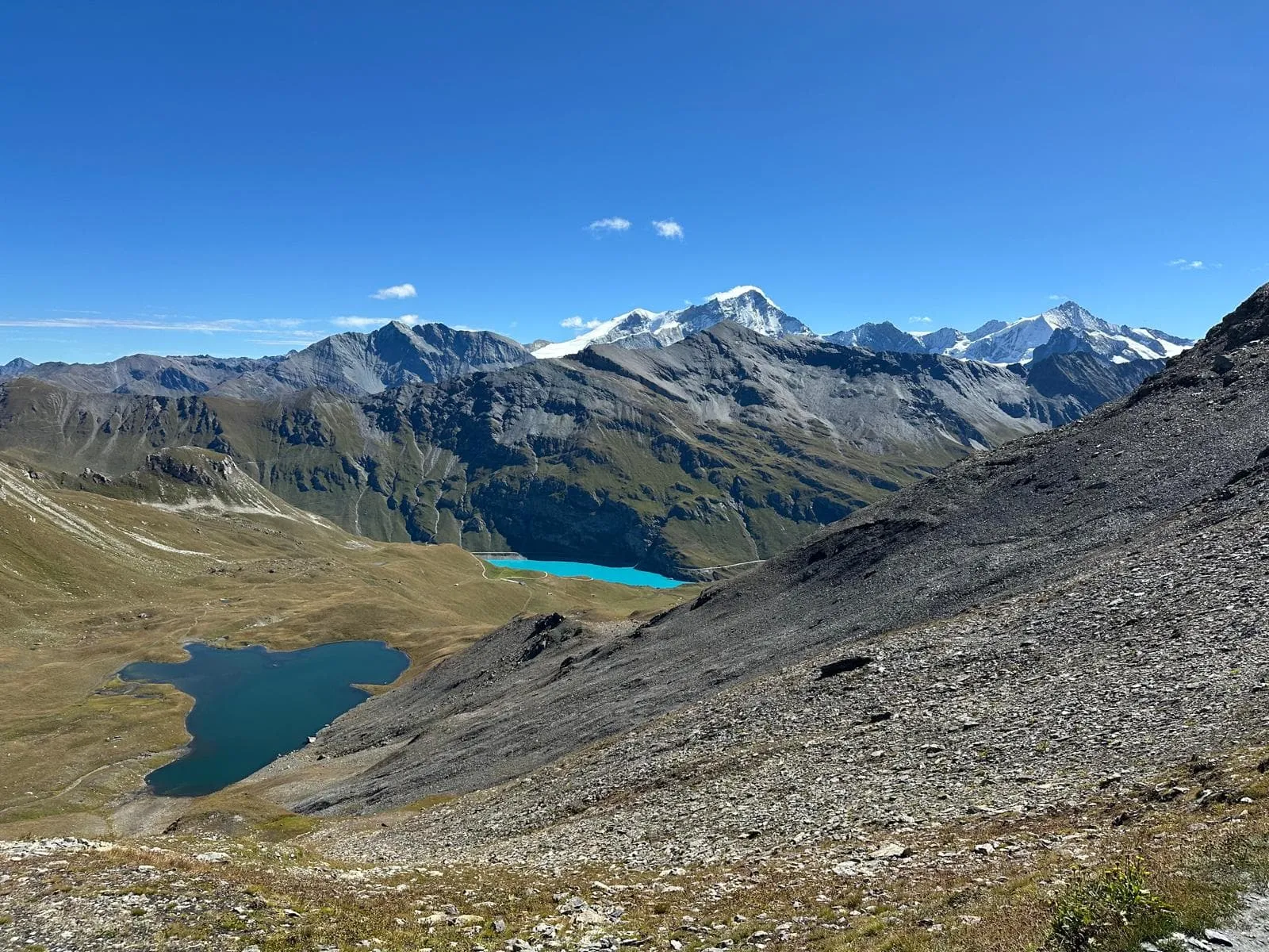
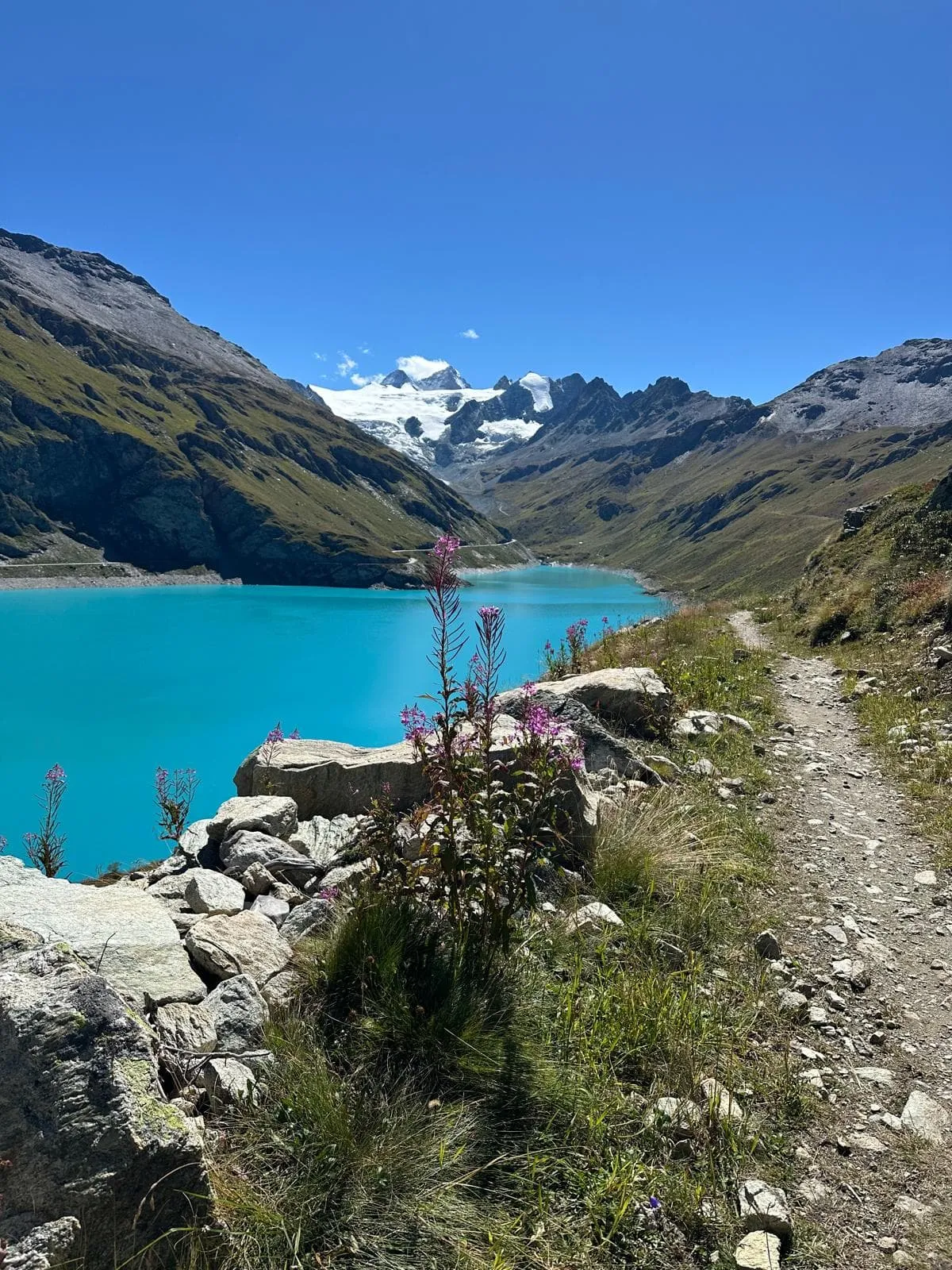
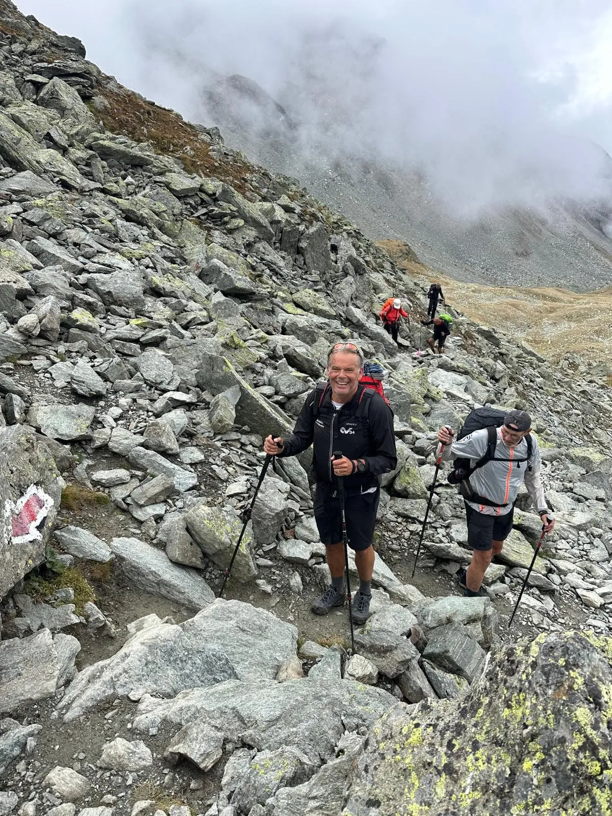
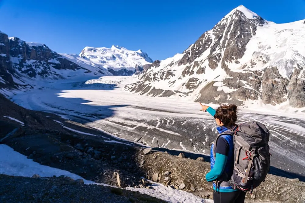
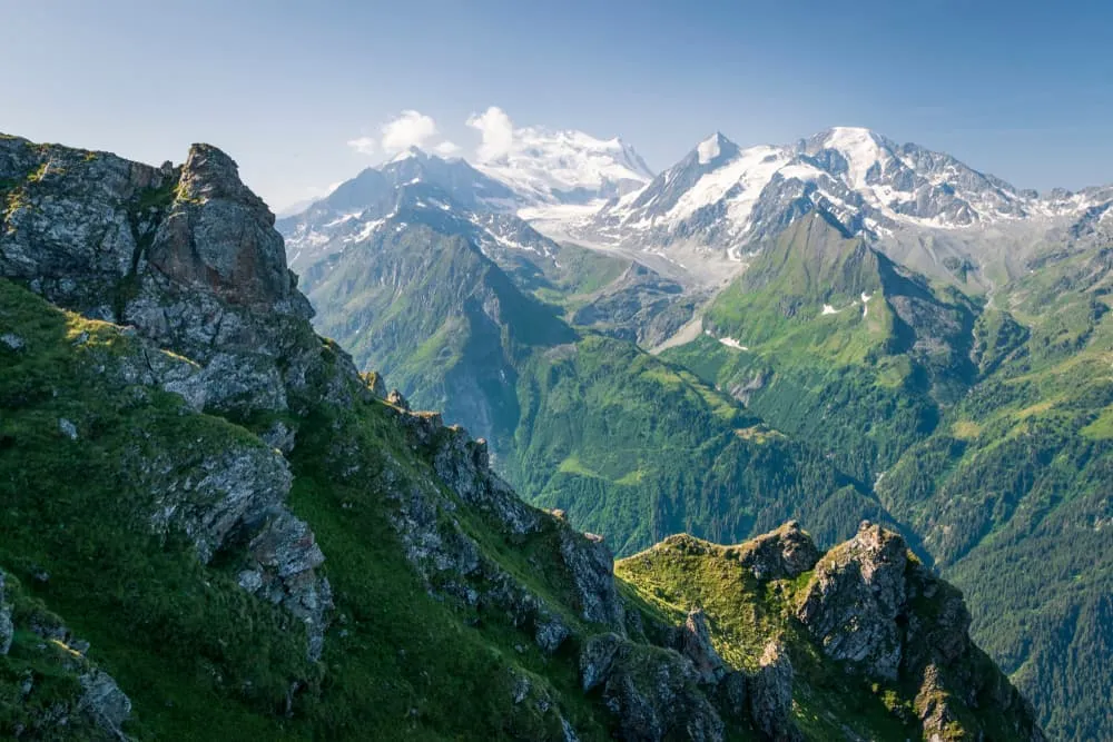
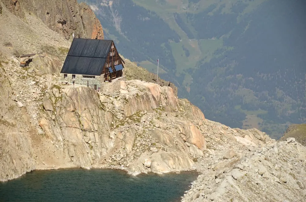
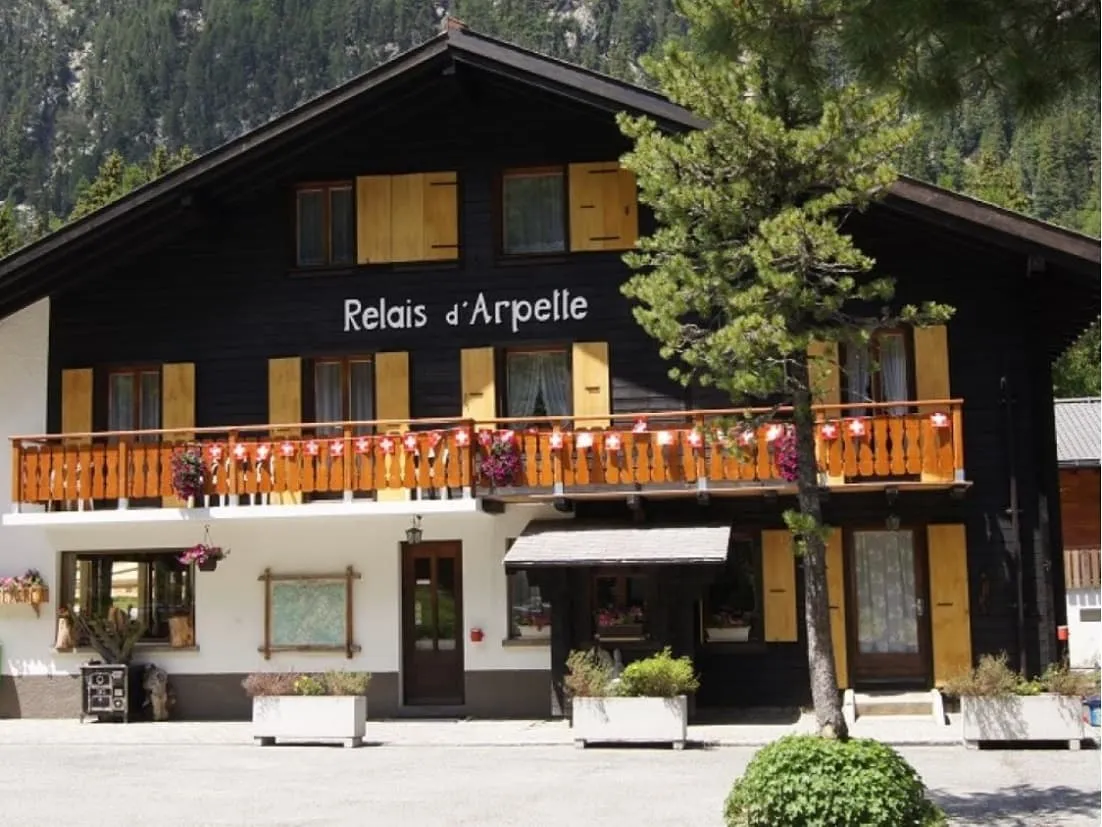
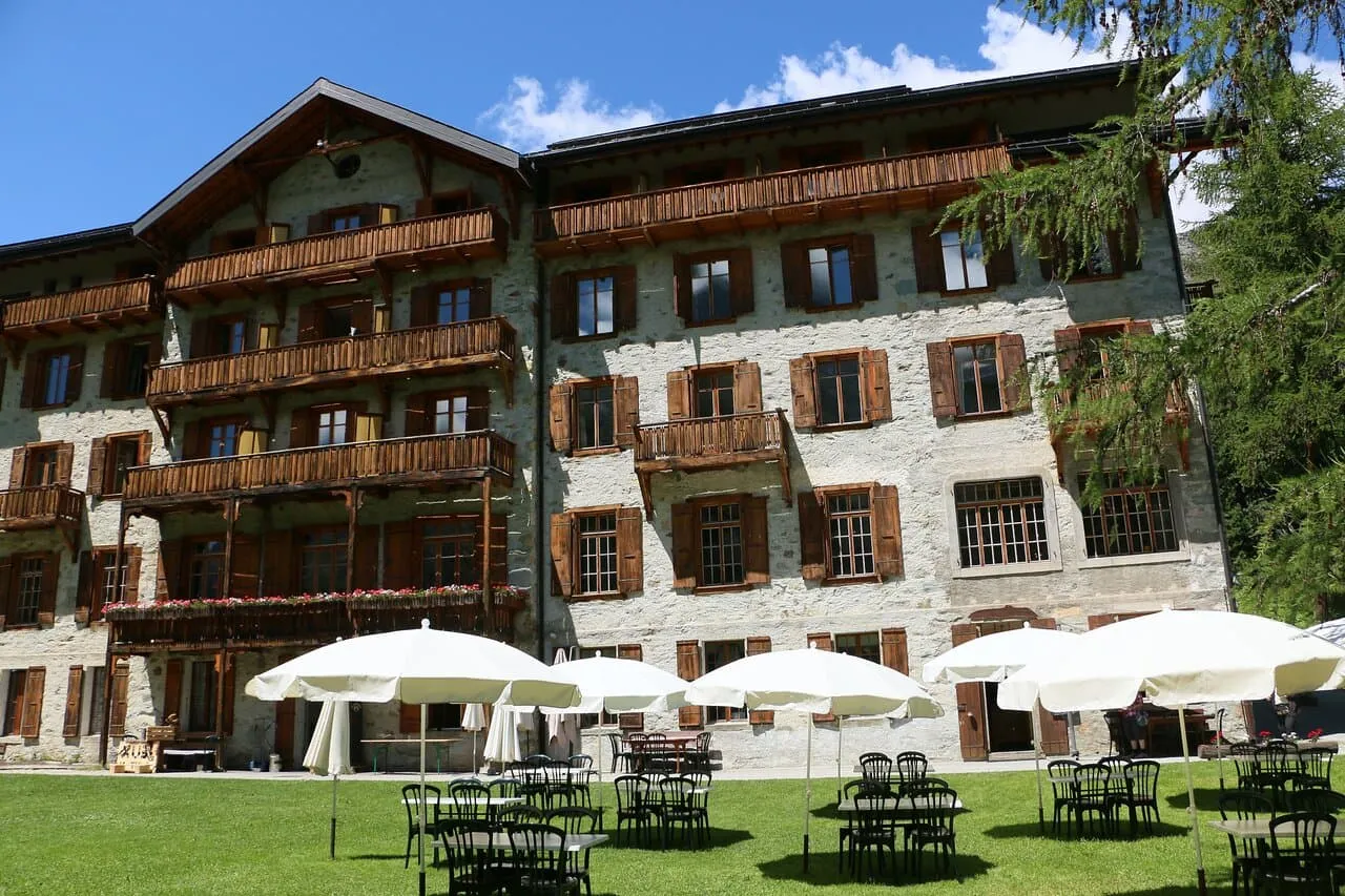
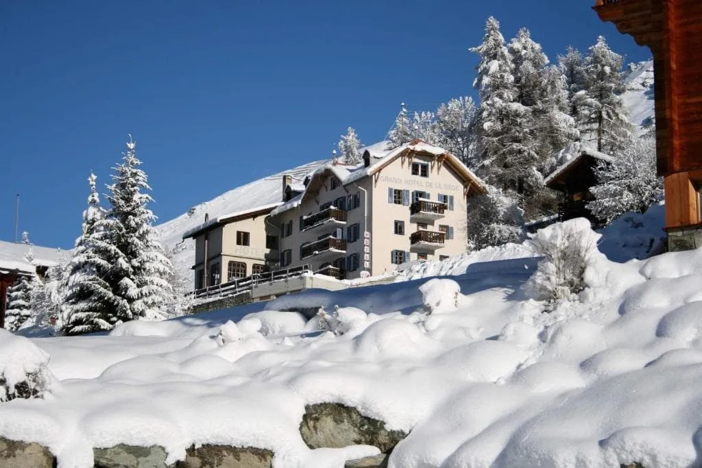
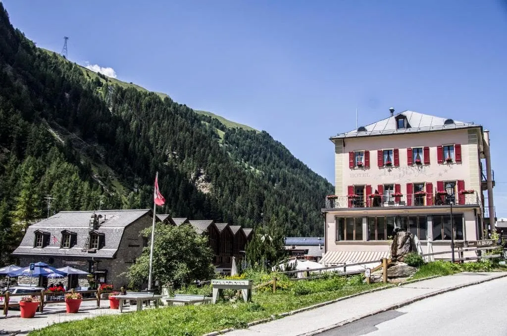
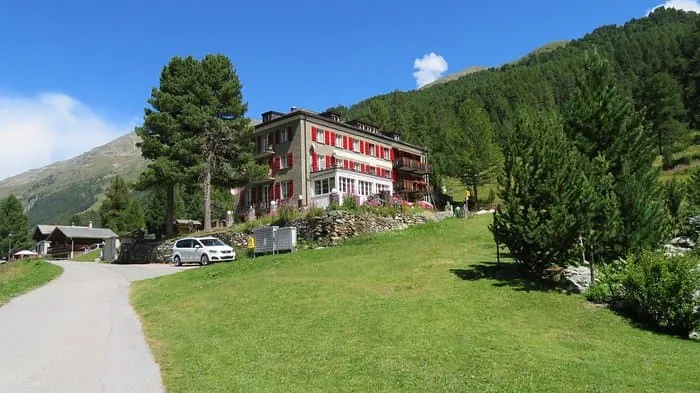
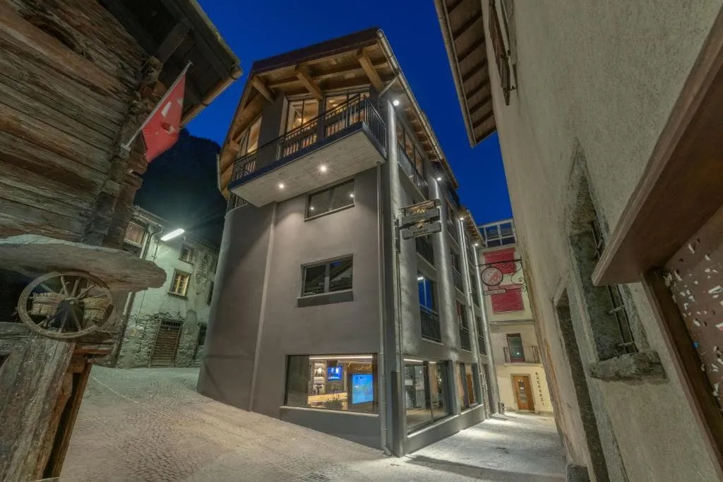
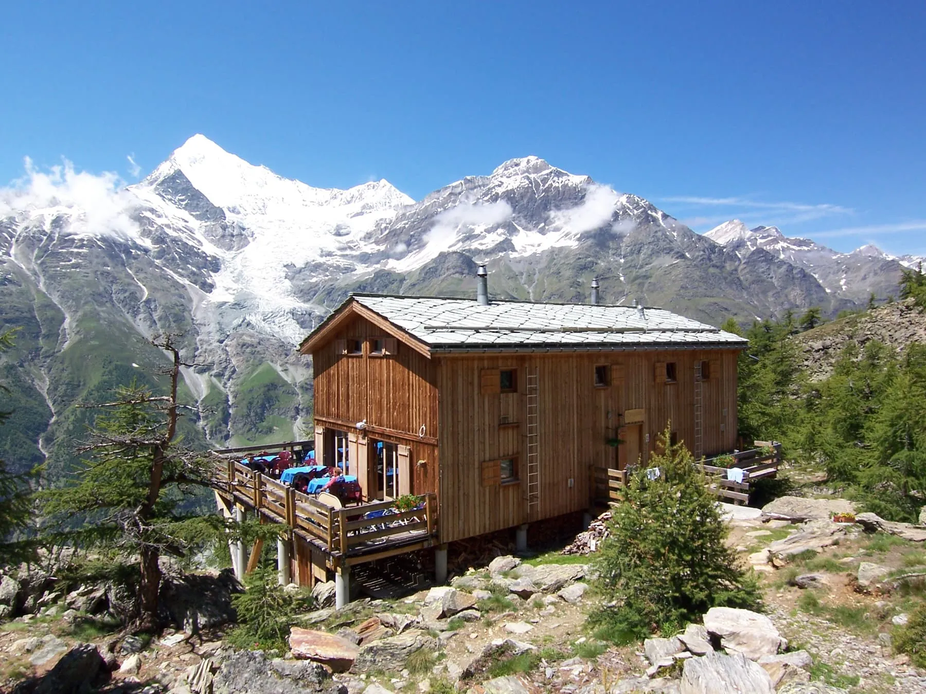
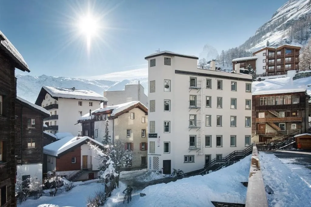
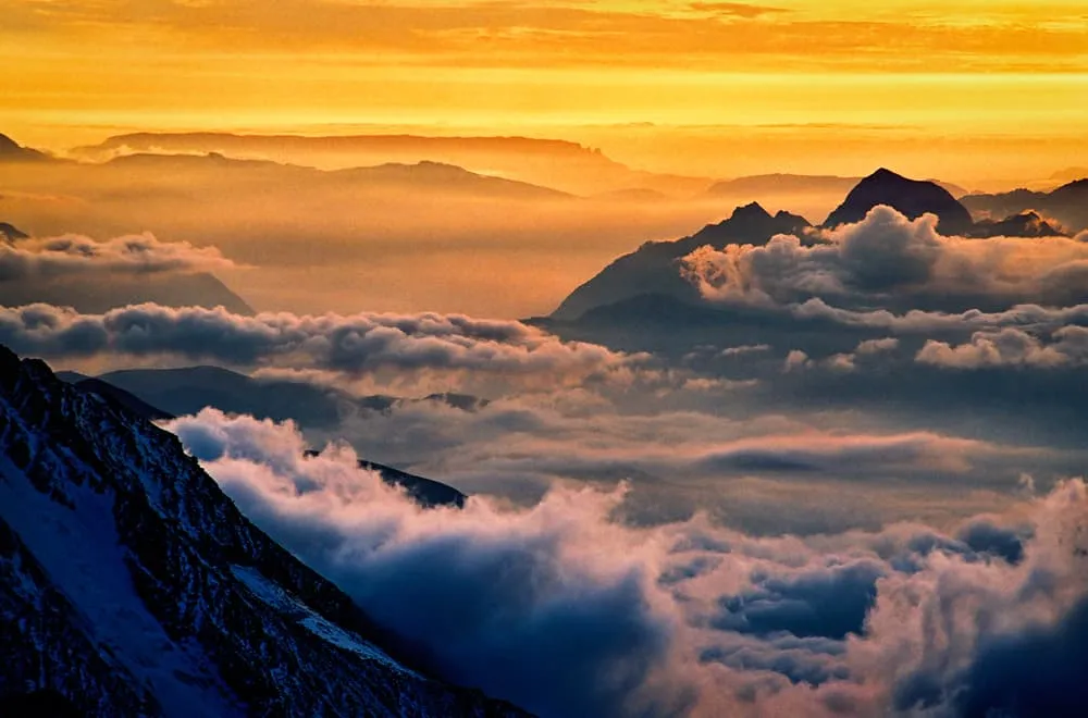
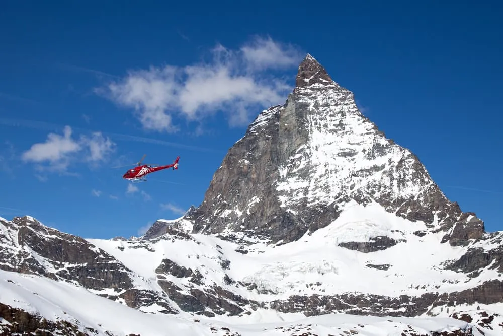
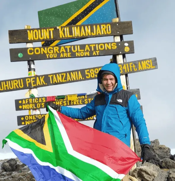
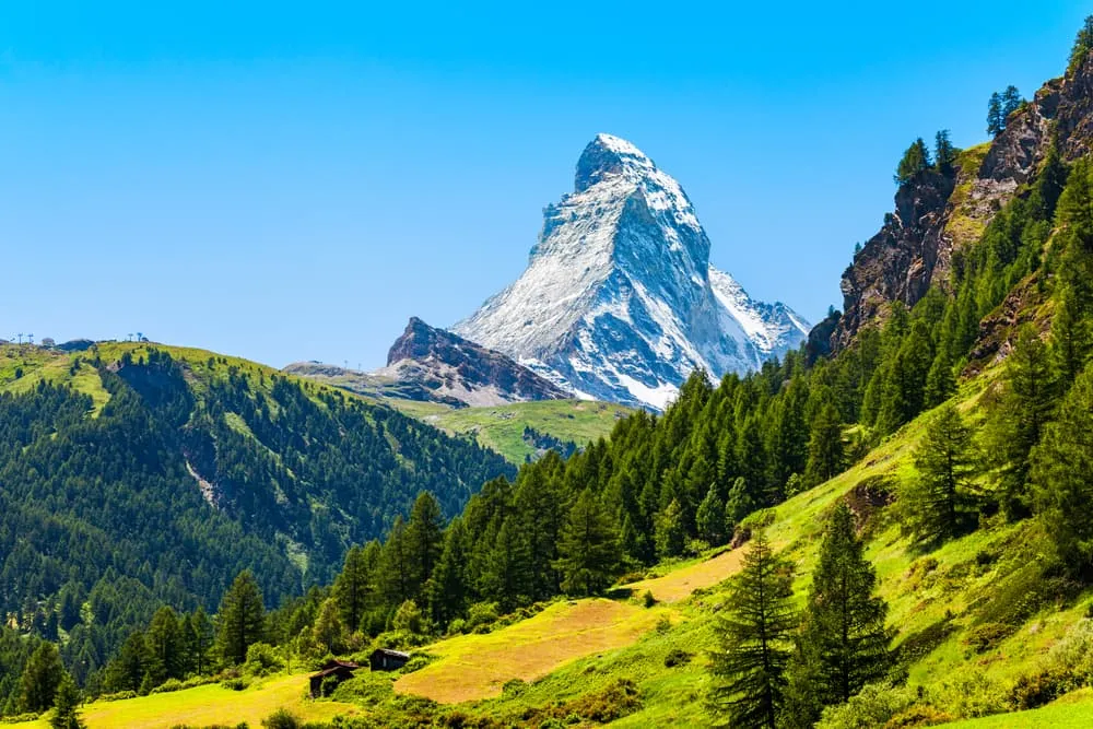
The Walker's Haute Route. When it comes to hiking, is there anything better, more beautiful, and more intense? When it comes to adventure and challenge, the Walker's Haute Route can be ranked alongside Kilimanjaro, the Everest Base Camp Trek, the Alta Via 2, and the Tour du Mont Blanc. More so, the latter is more of a preparation for the Walker's Haute Route than an equal. From Chamonix near Mont Blanc in France all the way to the Matterhorn near Swiss Zermatt, this is the pinnacle of hiking in the Alps.While showcasing amazing mountain passes, glaciers, charming pastoral towns, and magnificent valleys Walkers Haute Route is also known for its fantastic food and wine - promising a thrilling hut-to-hut trekking adventure. Allez, let's do the Haute Route!
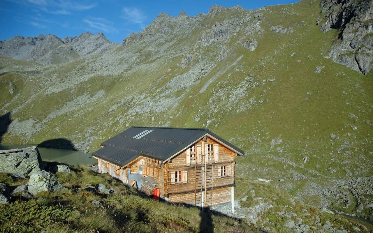
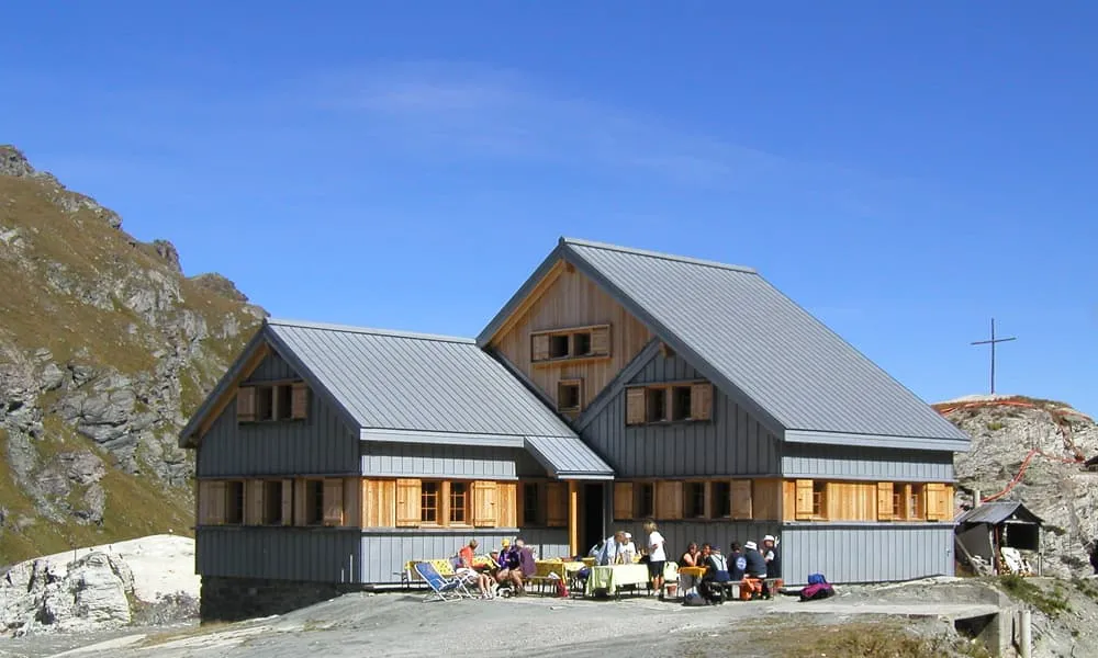
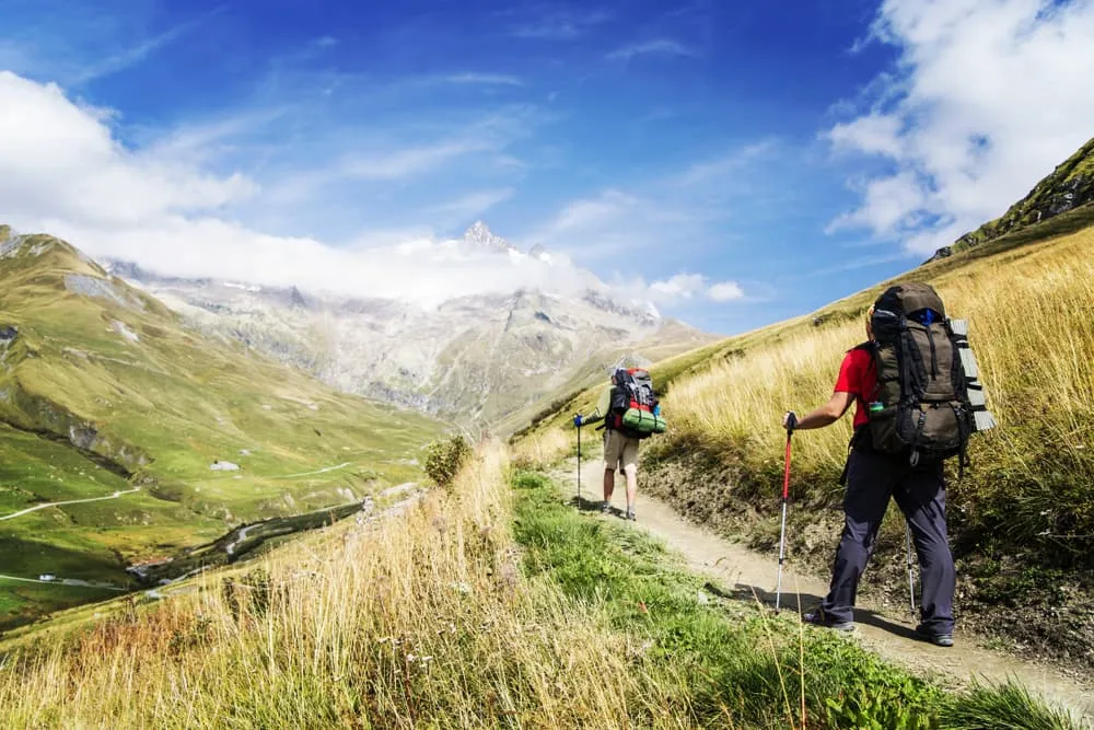
There are 200 kilometers (125 miles) and 15,200 vertical meters (50,000 ft) between Chamonix and Zermatt. The highest point reached is 2,987 meters or almost 10.000 ft. It doesn't matter whether you use the metric or the imperial system, the numbers for the Walker's Haute Route blow you away.What makes this tremendous route so special? How do you hike it self-guided? Where do hikers spend the night? Why the Walker's Haute Route and not the Tour du Mont Blanc? Let us answer all your questions!
Where Is the Walker's Haute Route?
The Walkers Haute Route connects two of the most well-known mountain towns in the Alps - Chamonix, France, and Zermatt, Switzerland. Typically starting from Mont Blanc and finishing at Matterhorn, it crosses 11 mountain passes, covering about 200 kilometers - offering a multitude of variations and route options. Chamonix is also known as a starting point for the Tour du Mont Blanc. Unlike the Tour du Mont Blanc, the Walker's Haute Route doesn't go round. It does feature a part of the route of the TMB. Up until Swiss Champex and via Trient, the route follows some stages of the Tour du Mont Blanc.
The route then continues further into Switzerland, via Le Chable, Mont Fort, Prafleuri, Arolla, and La Sage. Along the way, the trek offers an unprecedented world of contrasts. Glaciers and snow-capped peaks are guaranteed, but you can also expect beautifully lush green valleys,s alpine meadows, and the most picturesque Alpine villages. Cross the Rösti curtain, the symbolic border between French and German-speaking Switzerland between Zinal and Gruben. The final stages via St. Niklaus and the Europa Hütte bring you to one of the most iconic peaks of the Alps, the Matterhorn, and to that other mountaineering capital: Zermatt.
Is the Walker's Haute Route For Me?
To take it away, the Walker's Haute Route is an enormous challenge. The treks' distance of roughly 200 kilometers of rough terrain, its elevation gain, steep ascents, and descents make it more difficult than for example the popular Tour du Mont Blanc. The weather conditions as well as the at times unstable trail conditions add to the thrill.

The paths are well marked, huts are easy to navigate to and along the trails, and if you do get off the route, you'll quickly notice it. On the Walker's Haute Route, you can expect to be hiking 6-8 hours a day for almost two weeks. You will be overcoming steep mountain passes on a daily basis and will be exposed to altitude and steep ravines. Mountain experience is a requirement when debating doing the Walker's Haute Route. At Bookatrekking.com we believe with good planning and some training it’s a realistic one - and definitely worth it.
Would like to discuss your plans for the Walker's Haute Route with one of our trekking experts? Get in touch today and turns your dreams into memories!
What Is the Best Season for Hiking the Walkers Haute Route?
The official season is from mid-June to mid-September, but when you hike the Walkers Haute Route between mid-July and late August the chances for good weather and snow-free mountain passes are better. It’s peak season, so make sure to book as much in advance as possible. If you decide to trek Walkers Haute Route in September, you’re still in for a treat and it’s not as busy on the trail. But this could also mean that some accommodations might be closed for the season already. Also, the days are shorter, the weather is colder and there is a chance of snow.
July and August are the best months for the Walker's Haute Route but are also Peak Season. Don't wait too long with making arrangements and check out our self-guided packages today!
Walker's Haute Route or Tour du Mont Blanc?
It's an inevitable question if you haven't done either one yet and you want or have to choose between the two. Who is making you choose?! No, we can understand. It's like Kilimanjaro or Mount Kenya, Manaslu or the Annapurna Circuit, Torres del Paine or El Chaltén, we have had to make similar decisions in the past. It's never easy.
If you would be in the position to do both the Tour du Mont Blanc and the Walker's Haute Route, we would advise you to start off with the first. The TMB gives you the best that the Mont Blanc has to offer, has a few exit points to enable you to do a shorter option, and throws in a few cols to prepare you for the next, more hardcore Alpine adventure.

In comparison, the Haute Route from Chamonix to Zermatt offers higher mountain passes and more challenging mountain passes. The Tour du Mont Blanc sees more traffic than the Walker's Haute Route, yet the latter is offering a higher variety of scenery. Crowds are only a given in Chamonix and Zermatt, not much in between. Both treks are strenuous. The full Tour du Mont Blanc gives you more altitude gain than the Walker's Haute Route but gives you fewer high mountain passes. Even though you can expect more scree, rocks, and even dirt on the Walker's Haute Route, both options will give you a good hiding.
Due to the many accommodation options and more traffic, we would recommend doing the Tour du Mont Blanc to everyone looking for a first and good Alpine experience. The Walker's Haute Route, however, we would recommend to people who have done a hut-to-hut tour in Europe before. Whether it is Austria, Switzerland, France, or Italy, experience in the Alps will improve your confidence and experience on the Walker's Haute Route significantly.
Walker's Haute Route Accommodation: Refuges and Cabanes
At Bookatrekking.com we like to do things properly and when it's about accommodation on the Walker's Haute Route, this means you should stay in refuges and cabanes. If you are new in the world of hut-to-hut trekking in the Alps, this means that we like to stay in mountain huts. Refuge is the French name for a hut where mountaineers can enjoy a bed, a meal and, in most cases, even a fresh draught or good glass of wine. Cabane is the Swiss name for the same thing, on the Swiss side of the Walker's Haute Route. In some cases, refuges and cabanes are owned by the Alpine Club, in France, this can be the Fédération Francais des Clubs Alpins et de Montagne (FFCAM) and in Switzerland, this is the Swiss Alpine Club (SAC). What all these mountain huts have in common is their unusual locations: On the most remote spots in the Alps you can check into these little safe-havens.

Most huts offer a half-board pension, which includes breakfast and dinner. We highly recommend choosing this option. Having a warm meal waiting for you at the hut is not only a great way to end a long day of hiking, but it will also make your luggage lighter. Carrying your own food during the trek will mean extra weight on your back.
Availability in the mountain huts is limited during the season and securing your spots is not easy on the Walker's Haute Route. We at Bookatrekking.com maintain warm contacts with the hut keepers and are happy to take this burden off your shoulders. Find here all packages for the Walker's Haute Route.
Walker's Haute Route Map and Guidebook
There are plenty of maps and guidebooks that can help you tackle this beast of a route. Below you can find a map with an overview of the Walker's Haute Route. If you are looking for a quality guidebook for the route, we can always recommend the Cicerone guide for the Walker's Haute Route from Chamonix to Zermatt. At Bookatrekking.com we make use of Cicerone guidebooks for the majority of our self-guided treks.

At Bookatrekking.com we don't only book your accommodation, we also send you on your way with a comprehensive hiking guide with the most important information for your trek, including interactive Komoot maps. On top of that, for the Walker's Haute Route, we send you a hard copy of the Cicerone guide for this trek. Browse all our options here and turns your dreams into reality.
Walker's Haute Route Day-to-Day Itinerary
You can hike the Walker’s Haute Route over 10 – 15 days depending on your hiking ability, pace preferences, and weather conditions. Also depending on the route you choose for yourself. Below we are showing the most popular itinerary for Walkers Haute Route. The classic route takes 13 days and should be a good fit for most hikers, as it ensures you won’t miss any highlights on the fabulous trek.
Stage 1: Chamonix to Trient The first stage of the Walker's Haute Route is an excellent introduction to Alps trekking. You'll make your way up the reasonably easy Col de Balme before descending steeply to the small hamlet of Le Peuty. Continue on the road from Le Peuty for 10 - 15 minutes until you reach Trient, which has a charming pink church.
Distance & Elevation: 23.5 km // +1,355 m, -1,111 m
Stage 2: Trient to Champex
The second stage of the Walker's Haute Route is the most difficult but also rewarding of the entire walk. En route to Champex, you'll pass through the well-known Fenêtre d'Arpette. Enjoy the spectacular views of the Trient Glacier, but be cautious on the initial descent from the pass's summit. Spend an evening unwinding in Champex, a charming lakeside village.

In addition to the Fenêtre d'Arpette path described above, an alternate 'Alp Bovine' route is available for Stage 2. This route follows the same track as the Tour du Mont Blanc and is a good alternative in bad weather because it does not reach the heights or exposed character of the Fenêtre d'Arpette. It is nonetheless a beautiful hike.
Distance & Elevation: 14.5 km // +1,489 m, -1,299 m
Stage 3: Champex to Le Chable
Stage three is mellow throughout, which is a wonderful break after yesterday's intense hike. You'll leave Champex and make your way downhill to Sembrancher. You'll have a short hike next to farmland before arriving to Le Chable, your destination for the evening
Distance & Elevation: 14 km // +410 m, -1,060 m
Stage 4: Le Chable to Cabane du Mont Fort
The fourth stage of the Walker's Haute Route is ideal for individuals who dislike steep descents because it is all uphill! As you make your journey from the valley to the beautiful Cabane de Mont Fort, you'll climb nearly 1,800 meters in elevation. It's worth noting that you can take the cable car from Le Chable to Les Ruinettes via Verbier before continuing on to Cabane du Mont Fort. If you need a simpler hike, this will reduce much of the hiking of the day for you.
Distance & Elevation: 12.5 km // +1,824 m, -194 m
Stage 5: Cabane du Mont Fort to Cabane de Prafleuri
Stage five is a particularly challenging stage, as the course frequently remains snow-covered far into July. The main route follows the stunning Sentier des Chamois trail before crossing the Col Termin. Hikers will cross the hillside from here before reaching the Col de Louvie and the Grand Desert beyond. The Grand Desert is a very secluded section of the walk, and you should be careful, especially when there is snow. Next, it’s time to trek across the Col de Prafleuri before descending to the same-named mountain hut.

It is crucial to note that in Stage 5, there is a popular alternate path that skips the Sentier des Chamois track entirely. This path is more direct and passes the Col de la Chaux. Before choosing which path to take, check in with the warden at Cabane du Mont Fort.
Distance & Elevation: 14 km // +1,135 m, -932 m
Stage 6: Cabane de Prafleuri to Arolla
Another challenging day awaits those on the Walker's Haute Route on stage six, with the crossing of the Pas de Chèvres and its iconic ladders. The climb up to the ladders over the boulder-strewn environment is significantly more challenging than the ladders themselves. In either case, take your time and be cautious as you approach the top of the pass and on the ladders. Crossing the nearby Col de Riedmatten is generally considered more challenging, so for most hikers, it might be the better option to choose the Pas de Chèvres. After crossing the pass, you'll have a lovely descent into the picturesque Swiss village of Arolla.
Distance & Elevation: 18 km // +795m, -1,440 m
Stage 7: Arolla to La Sage
Trekkers can finally enjoy a pretty easy day on stage seven of the Walker's Haute Route after several challenging stages. The trail makes its way down the valley shoulder between Arolla and Les Hauderes, passing the lovely Lac Bleu. It's a short and enjoyable climb from Les Hauderes to the day's finale in La Sage.
Distance & Elevation: 11 km // +670 m, -1,007 m

Stage 8: La Sage to Cabane de Moiry
Stage eight involves a lot of climbing, as you can tell by the elevation change. You'll leave La Sage and begin the hard ascent a little over 4 kilometers northwest of the Col du Tsaté, which will lead you into the breathtaking Val de Moiry. After descending into the valley, you'll reach Cabane Barrage de Moiry over a steep and rather exposed last portion. With its direct views of the Lac de Moiry, the Cabane is without a doubt one of the most stunning spots to spend the night on the Walker's Haute Route.
Distance & Elevation: 21.4 km // +1,920 m, -1,200 m
Stage 9: Cabane de Moiry to Zinal
Given that you've already done much of the climbing on stage eight, you'll have a head start on crossing the Col de Sorebois on stage nine. The trek begins with spectacular views as you go far over the Lac de Moiry on your way to the Col. When you reach the Col de Sorebois, you'll be rewarded with stunning views of the surrounding Alps. The descent then passes through a ski area (with the option of taking the cable car down) before reaching in Zinal, a ski resort town. There is also a much smoother alternative route down from the Sorebois ski lift to Zinal than the regular one. It’s a great option for anyone who has tired legs!
Distance & Elevation: 9,2 km // +510 m, -1,140 m

Stage 10: Zinal to Gruben
On stage 10 of the Walker's Haute Route, you'll cross the 'Rosti Line,' Switzerland's unofficial border between French and German-speaking districts. The trip is hard, but nothing compared to some of the more difficult stages you've already completed. The Forcletta pass is the day's high point, and from there you'll descend into the peaceful village of Gruben. Stage 10 also includes the option of spending the night at the Hotel Weisshorn or Cabane Bella Tola. This adds a day to your Walker's Haute Route schedule, but many folks find it worthwhile. Instead of crossing the Forcletta, you'll continue along the mountain shoulder before arriving at the Hotel Weisshorn. You can also go on if you want to stay at the gorgeous Cabane Bella Tola. Those who choose this path will cross the Meidpass the next day (Stage 11) before resuming the main Walker's Haute Route in Gruben.
Distance & Elevation: 17 km // +1,239 m, -1,138 m
Stage 11: Gruben to St. Niklaus/Gasenried
Stage 11 takes hikers on the Walker's Haute Route over their final mountain crossing and into the Mattertal valley, where Zermatt is located. The descent from the top of the Augstbordpass offers breathtaking views of the Alps beyond. When you arrive in the charming village of Jungen, you can take a cable car down into St. Niklaus to rest a little. If you want to continue your Walker's Haute Route journey by hiking the Europaweg trail, we recommend either hiking or catching the local bus from St. Niklaus to the town of Gasenried, which is just up the hill. If you can't find a place to stay in Gasenried, travel a little further to the village of Grachen. This will save you a tough start to the following stage and set you up for a fantastic final two days on the Europaweg to complete the Walker's Haute Route!
Distance & Elevation: 17.5 km // +1,167 m, -1,861 m

Stage 12: St. Niklaus/Gasenried to Europa Hut
The Europaweg trail is a two-day hike that completes the Walker's Haute Route. It has a few exposed sections, but it's also a fantastic way to end your journey! After leaving Gasenried, you'll face a difficult ascent to the Breithorn's shoulder. As the trail climbs, watch out for the loose rocks and scree. After reaching the day's high point, you'll descend across a spectacular suspension bridge before arriving at the Europa Hut.
Distance & Elevation: 13.5 km // +1,352 m, -748 m
Stage 13: Europa Hut to Zermatt
The final stage of the Walker's Haute Route will take you across the world's longest suspension bridge, the famed and stunning Charles Kuonen Suspension Bridge. While this is undoubtedly the highlight of the journey, don't forget to take in the breathtaking vistas of the Matterhorn as you make your way to Zermatt. As you near the end of the trip, you'll find yourself among Zermatt's many ski slopes and the increasing number of tourists who come there. Enjoy a final descent before congratulating yourself on an amazing accomplishment in Zermatt!
Distance & Elevation: 22.1 km // +930 m, -1,590 m
Packing List for Your Walker's Haute Route
It doesn't matter where you are going trekking or for how long. Carrying the right equipment with you is paramount. For the Walker's Haute Route you will need, first and foremost, a good backpack. The size of your backpack will depend on how many days you will be spending on the mountain, the season, and the clothes you will be taking with you. We have prepared a packing list with some essential clothing that you should include and some extras that you may find useful:
Essentials
- Walking boots (worn in)
- walking socks
- Base layer tops – ideally thermal
- Mid-layer tops (eg. fleece)
- Trekking Trousers
- Hat for warmth or shade
- Gloves
- Waterproof jacket
- Waterproof trousers
- Warm layer.
- Casual clothes & footwear for evenings.
- Nightwear and underwear
- Water bottle
- Sunglasses & sun cream
- Toiletries
Extras
- Small first aid kit
- Blister Plasters
- Insect repellent
- Electrical socket adapter
- Camera and charger
- Map and compass
- Whistle
- Reading book(s)
- Energy snacks
- Walking poles
- Buff

Enjoying the peace and quiet of nature is one of the pleasures of trekking in the mountains. However, sometimes we need an extra push to keep going. When you feel like giving up, having the right playlist on your phone can help you to get the motivation necessary to reach the top. Here are our top picks for your hiking adventure. Don't forget to bring a powerbank to keep your phone charged!
Before and After the Walker's Haute Route: Logistics
The Walker's Haute Route starts in Chamonix, (France) and ends in Zermatt (Switzerland). Fortunately, getting to Chamonix is quite easy. Chamonix is located only 103 kilometers away from Geneva international airport, the second-largest airport in Switzerland. Geneva is not only a good gateway for getting to the start, but you will also want to travel via Geneva after your trek. There are several transport options for you to get to Chamonix depending on where you are departing from.
By Plane
Flying is the most convenient and fastest way to get to Chamonix. Although the Geneva international airport is indeed the closest one, you can also fly to Chambery Airport, Turin Airport, or Lyon Airport. Being Geneva's biggest airport in the area, it has more flight options available from more destinations than the other airports do. Also, from Geneva, you can take a direct shuttle from the airport to Chamonix.
By Car
If you are in France already or in any country near Chamonix, you can drive there. The extensive network of European motorways makes it easy to reach Chamonix by car.
By Train
There is a train station right in the center of the city. Traveling to Chamonix by train isn't necessarily the easiest or fastest option, but it is definitely the one with the least impact on the environment. On your way to Chamonix, you will have to change trains a few times along the way. The silver lining is that you are allowed to carry more luggage without additional charges.
By Bus
Coach or long-distance buses are another option to get to Chamonix. The good thing about these buses is that they tend to be quite cheap and are more environmentally friendly than flying. If you choose this option, however, you must know that the seats can be quite uncomfortable and the ride takes the longest of all the options.
From Zermatt
Mountains are great, but they do make it hard to create direct connections between towns. The most straightforward way from Zermatt to Chamonix is to hike the Walker's Haute Route, but you if you are looking to get there via public transport, you should first take a train from Zermatt to Visp and from Visp take a train to Geneva Airport. From there, you can follow the same options as mentioned underBy Plane above.
Walker's Haute Route: Self-Guided or With a Guide?
Whether you want to opt for a Self-Guided Trek is completely up to you. If you decide to hike the Walkers Haute Route with a guide you will have your hotel and meals pre-arranged, and you will not have to stress about planning every aspect of the itinerary. Most importantly, you will not get lost. Having said that, the trails on the Walkers Haute Route are well marked and signposted. The odds of getting lost are very low if the weather is clear and you stick to the route. In terms of weather, the afternoons can be pretty foggy, so bring a map, a compass (and know how to use it), and a whistle just in case.

Most hikers decide to discover the Walkers Haute Route on their own, which is also a great option. If you want to go on a self-guided trek, make sure you get all the accommodation booked in advance and you plan your steps wisely, making sure that every stage of the trek makes sense and is achievable. Making sure everything is sorted can be a hassle and a burden, especially as you are, after all, going on a vacation. At Bookatrekking.com we offer self-guided treks for Walkers Haute Route, so we’d be more than happy to help you out with organizing your trip and booking everything for you. So you can have the best of both worlds!Find out all our options here.
What to Do in Case of an Emergency?
A situation is defined as an emergency whenever human life (yours or someone else's) is endangered and there is nothing you can do to resolve the matter. You should call for help if there has been an accident, if there is somebody trapped, if you got lost or in trouble and are unable to continue because of the time of day or weather conditions, or if you are trapped because of technical climbing challenges that exceed your capabilities.

The most important thing to do in an emergency is to stay calm and survey the situation. Do not panic or take useless risks if the people in trouble are difficult to reach. In an emergency, first and foremost, call for assistance. When calling for help, make sure to provide your location and the number of victims and type of injuries. Then, protect the victim from cold and other environmental threats and administer first aid, if you can.
Useful emergency phone numbers:
France: 112
Switzerland: 144 (General) or 1414 (Mountain Rescue)
PGHM Chamonix(France): +33 0 4 50 53 16 89
How Much Does the Walker's Haute Route Cost?
The price prices for the Walker's Haute Route are quite varied. There are several variables to take into account when it comes to how much this trek costs: the type of accommodation, which can be in a shared dormitory or a private room in a hut, or also at a hotel in a town; How many days you will be spending on the mountain and whether you will be doing the full circuit or only a section; whether you will be doing it self-guided or with a guided group. The price of the trek will depend on your expectations for the tour.
Where Can I Book My Walker's Haute Route?
At Bookatrekking.com you can book the self-guided Walker's Haute Route. We arrange the mountain huts for you and make sure you receive all relevant information well in advance.Find our offers here. If you have any questions about the Walker's Haute Route, pleasecontact our trekking experts. They'll be happy to help! Are you looking for other hut tours, have a look at hiking in Mercantour, the GR20on Corsica, theAlta Via 2in theDolomites in Italy, theKesch Trekor theVia Alpinain Switzerland, or thePeter Habeler Rundein Austria.
Beautiful tours in Spain to take a look at are the GR221 in Mallorca or the Camino Francés to Santiago de Compostela.
Book now
more like this
Hut-to-Hut Hiking With Kids? Yes! Check Our Tips, Routes and Packing List
26-09-2022Hiking from hut to hut is not the most obvious option for a holiday with the kids. Up and down mountains, say 2,000 metres of elevation gain, a dormitory full of roaring mountain enthusiasts and the inevitable "Are we almost there yet?". -...
Hut-To-Hut Hiking Packing List With Checklist
16-09-2022On a hut-to-hut trek, you don't just take anything with you. Every ounce you put in your bag, you also carry on your back. Fantastic, trekking through the Alps for a few days, but those jeans you're lugging along unused have no use for it a...
Hut-to-Hut Hiking in the Pyrenees: The 4 Best Walks
12-09-2022Hiking in the Pyrenees is the next best thing. Away from the busy trails in the Alps and upwards and onwards to some of the most pristine hiking trails and mountain huts Europe has to offer. With a little bit of French and a little bit of S...