Annapurna Circuit Trek: How to Hike Around the Annapurnas

By Jan Bakker

Find that one special trekking
Search
Annapurna Circuit Trek: How to Hike Around the Annapurnas
Quick personal advice
Free cancellation up to two weeks in advance
Trekking experts per destination

The Annapurna Circuit Trek is the most famous trekking circuit in Nepal. With some of the tallest mountains on Earth, tumbling glaciers and an incredible variety of landscapes, this trek represents everything what trekking in Nepal is about. It takes more than two weeks to circumnavigate the Annapurna Massif while staying in cozy tea houses. Over the last few years, we at Bookatrekking.com have helped hundreds of people to find their way in the Nepali Himalayas and now it's your turn.

My name is Jan and I’ve been lucky enough to hike some of the most spectacular trekking routes in Asia, including the K2 Base Camp trek in Pakistan and the Pamir Trail in Central Asia. In terms of mountain landscapes the Annapurna Circuit remains high up there as one of my favorites. Why is this classic trek so special? Let us tell you why!

Let me first tell you a little bit about my own experience. Over the past 20 years I have worked in the mountain tourism industry in various roles. I have written trekking guide books for Tajikistan and Tunisia, I train local hiking guides in Uganda and as a trekking guide I have led groups in the Indian Himalayas, the Karakoram Range in Pakistan, the Pamir mountains in Tajikistan and the Annapurna Circuit in Nepal. First-hand experience is invaluable and for you, as a trekking enthusiast, it’s essential to get advice from someone who has actually done it!

Jan on top of the Thorung La

Annapurna Circuit Trek 6182

Book Now

Annapurna Circuit Trekking: The Ultimate Trek in Nepal

In the late 1970’s, when people started venturing into the Nepali Himalayas, the Annapurna Circuit was one of the first trekking routes to open for foreigners. In those days it took 23 days to hike around the Annapurna Massif. Fast forward to the present day, lots has changed. We’ll talk later about how trekking routes have changed in the past two decades, but one thing is for sure. The mountains of the Annapurna Massif are as stunning as they were 50 years ago.

The Annapurnas are close to Pokhara, about 6 hours west of Nepal’s capital Kathmandu. The small city, located on the shores of the stunning Phewa Lake, is the gateway to the Annapurna Massif. The Annapurna Circuit itself is a tea house trek, which means you stay in local guesthouses on the entire route. From the forested valleys at an elevation of 900 meters you’ll ascend to the Thorung La, the highest point of the trek at a whopping 5416 meter above sea level. The landscape gradually changes as you climb higher up the valley. Each day the giants of the Annapurna Massif reveal themselves a little bit more and your surroundings transform into a rugged alpine environment. The villages counter balance the mountains’ wild character. The tea houses are cozy and warm and you’ll be served endless cups of tea.

After scaling the Thorung La the route drops down into Lower Mustang, a high altitude desert with a completely different landscape. After the town of Jomsom the route continues to the hot springs of Tatopani, where you can soak and relax with fellow trekkers and locals alike. The final highlight of Annapurna Circuit is the climb up Poon Hill from Ghorepani. This is one of the most majestic viewpoints in Nepal, looking out over the entire Annapurna chain and spectacular mountains like Machapuchare and the 8167m high Dhaulagiri.

Annapurna Circuit Trekking: The Ultimate Trek in Nepal

How Difficult Is the Annapurna Circuit Trek?

The Annapurna Circuit difficulty is quite low from a technical perspective. It's only walking and I found the path in good condition in most places. It also helps that you stay in a guesthouse each night rather than a tent. You can get a proper rest without having to worry about logistics or getting cold. It really is the Annapurna Circuit altitude that makes the going tough sometimes. After all, it is a trek at high altitude, culminating to an elevation of 5416 meters on the Thorung La. In my experience, the Annapurna Circuit length also adds to the strenuous nature of the trek. The shortest version we offer involves 170 kilometers of trekking. On some days the distances are more than 20 kilometers. Those factors make the trek hard, whether you’re a novice or a seasoned hiker. You feel your body getting tired after a prolonged time on the trail. But maybe because of that, it feels like a true sense of achievement finishing the route from start to end. I am convinced when you do some training for the Annapurna Circuit and set off with the right mindset it is doable for most trekkers.

How Difficult Is the Annapurna Circuit Trek?

The Best Time to Hike Annapurna Circuit

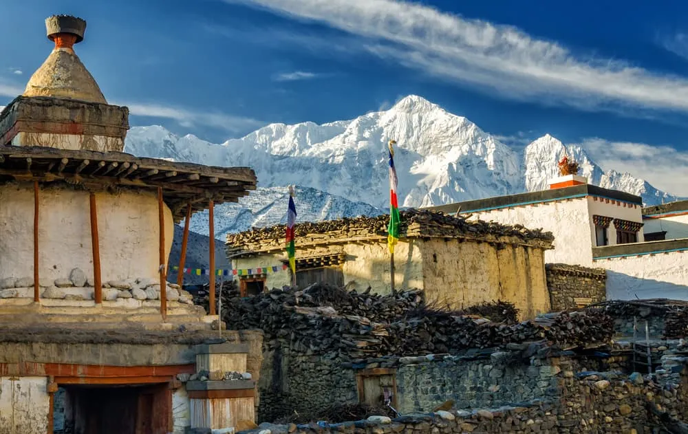
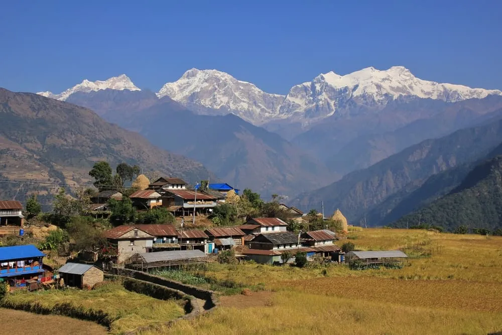
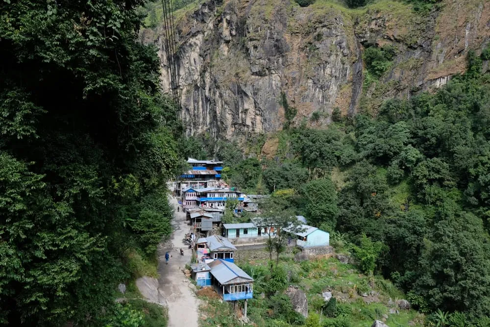
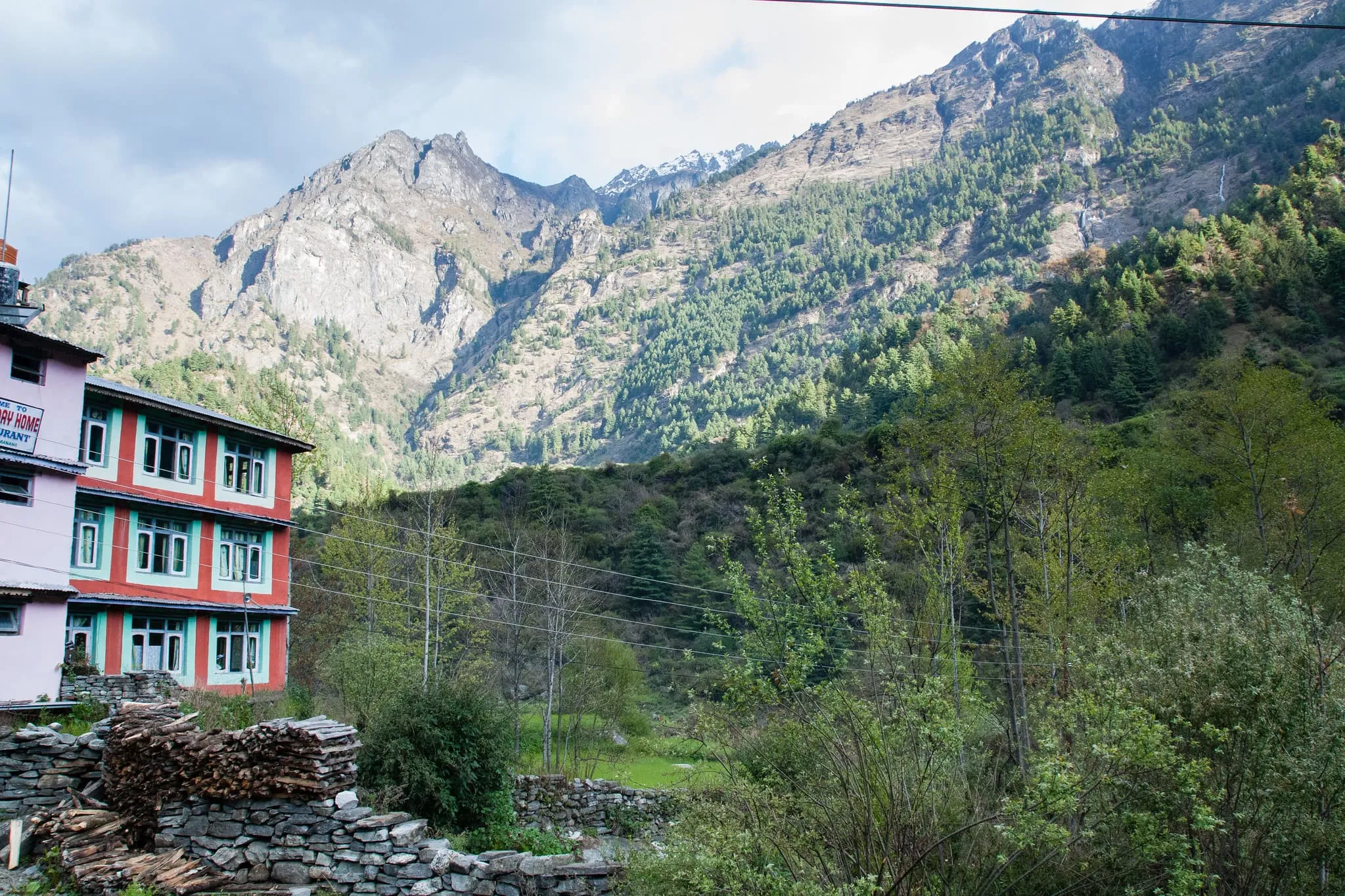
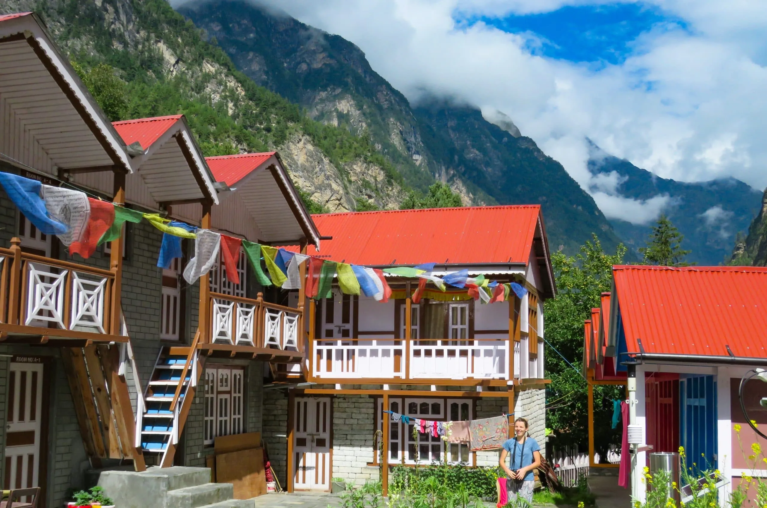
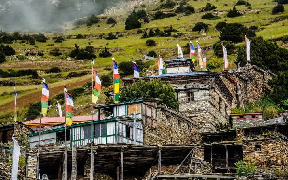
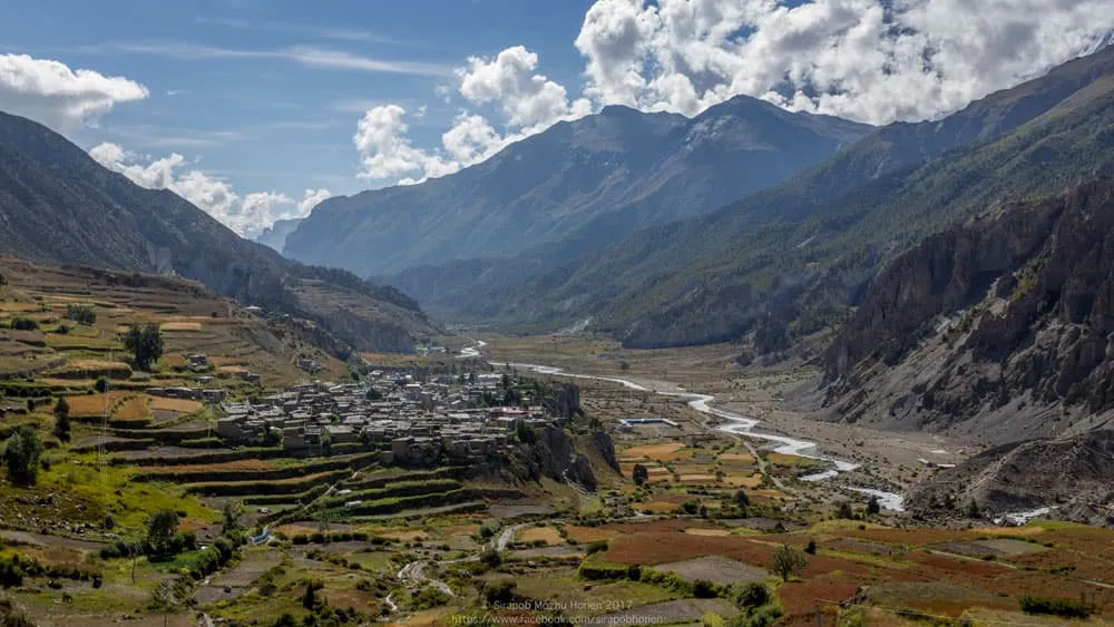
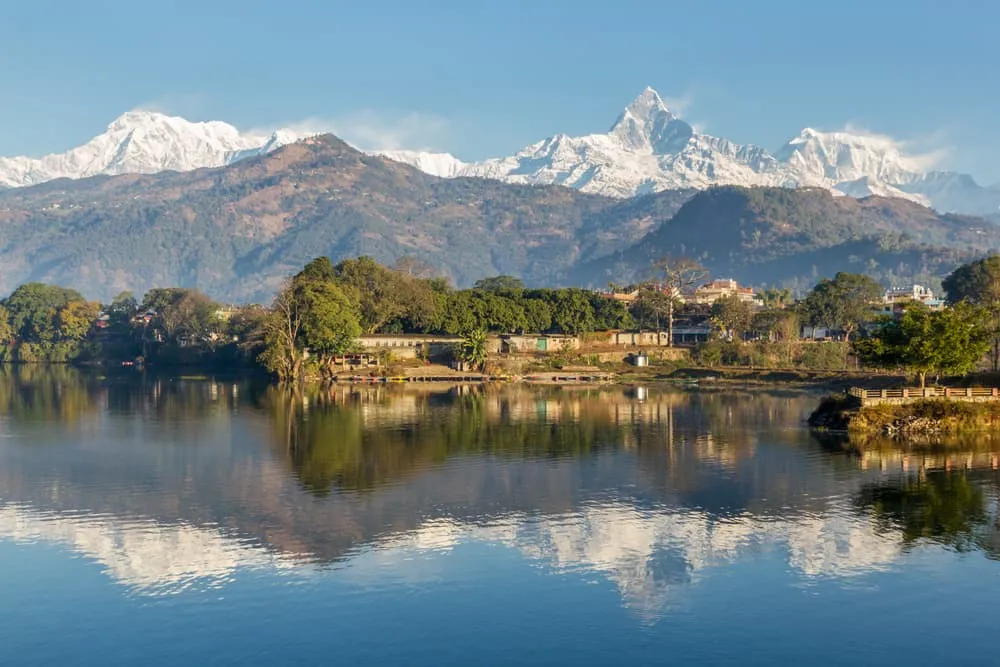
The Annapurna Region, along with most of the other trekking areas in Nepal, has four distinct seasons. Spring, summer, autumn and winter. The months from March to May, pre-monsoon, and from October to early December, post-monsoon, are the most popular for hiking the Annapurna Circuit. Every season offers its own excitement and atmosphere and in principle, you can go trekking year-round. There are good reasons why spring and autumn are considered the trekking season. Below we’ll give you a run-down of what each of the seasons are like.

Spring

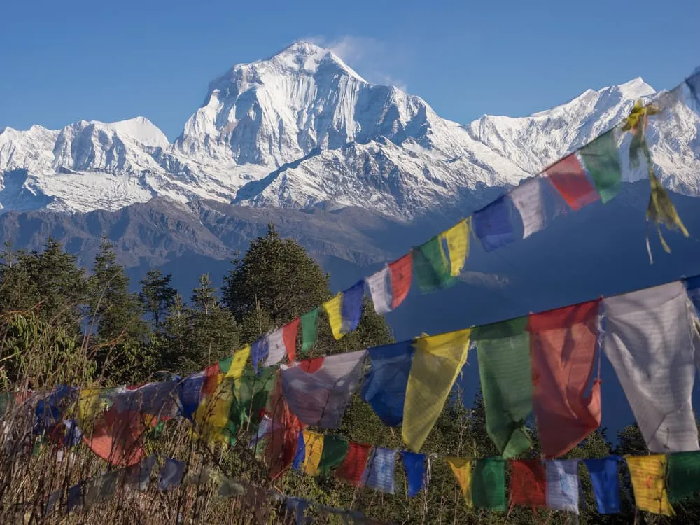
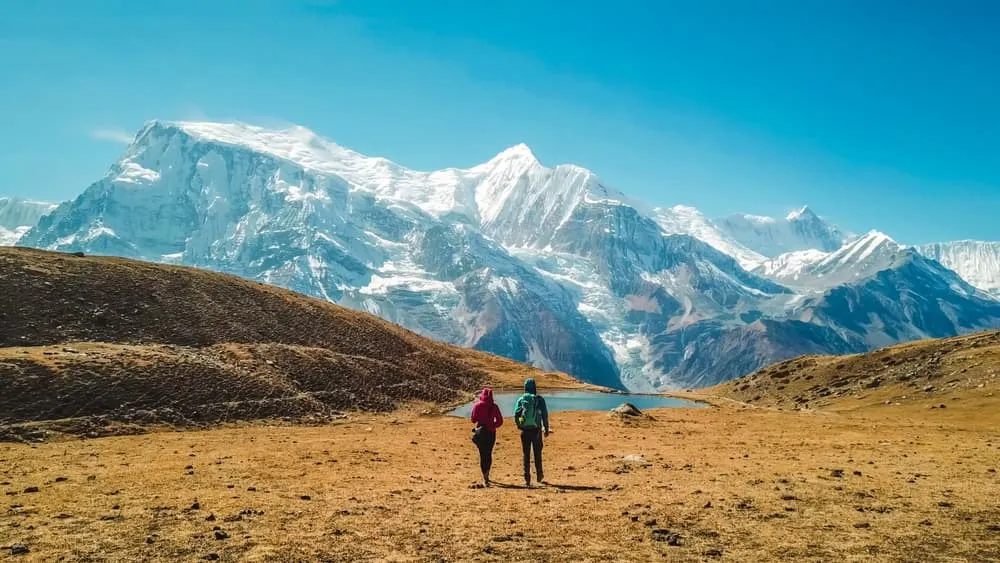
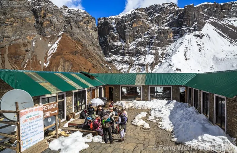
Spring (March-May) is the high season and trekkers from around the globe come to the Annapurna Region in large numbers. In springtime, the temperature is pleasant, the precipitation is low and the hiking conditions are great. On the trail there’s a lot of excitement and anticipation to cross one of the highest mountain passes in the world for trekking, the Thorung La. It does get busy, but therefore it’s a great time to connect with like-minded adventurers. While temperatures in daytime along the trek are balmy, the temperature around the Thorung La can be very cold in the early morning, when you cross the pass. Check our complete Annapurna Circuit packing list further below in this blog post.

Summer

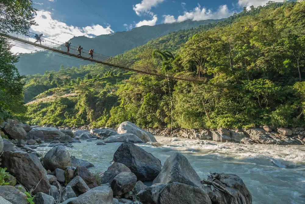
Summer season falls in the months of June, July and August. Summer is the month with higher temperatures and in that sense it is quite pleasant. However, this is also the monsoon season, and it rains a lot. The chance of seeing the mountains around you is smaller as it is cloudy most of the time. The trail will be wet and slippery and there is an increased risk of landslides. And leeches are very active during these months. On the flipside, it’s not very busy on the route and the traditional villages feel more serene.

Autumn

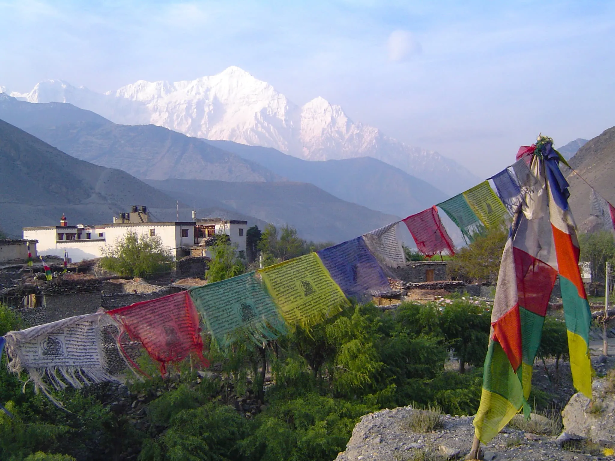
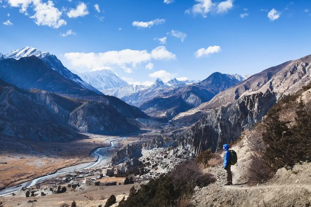
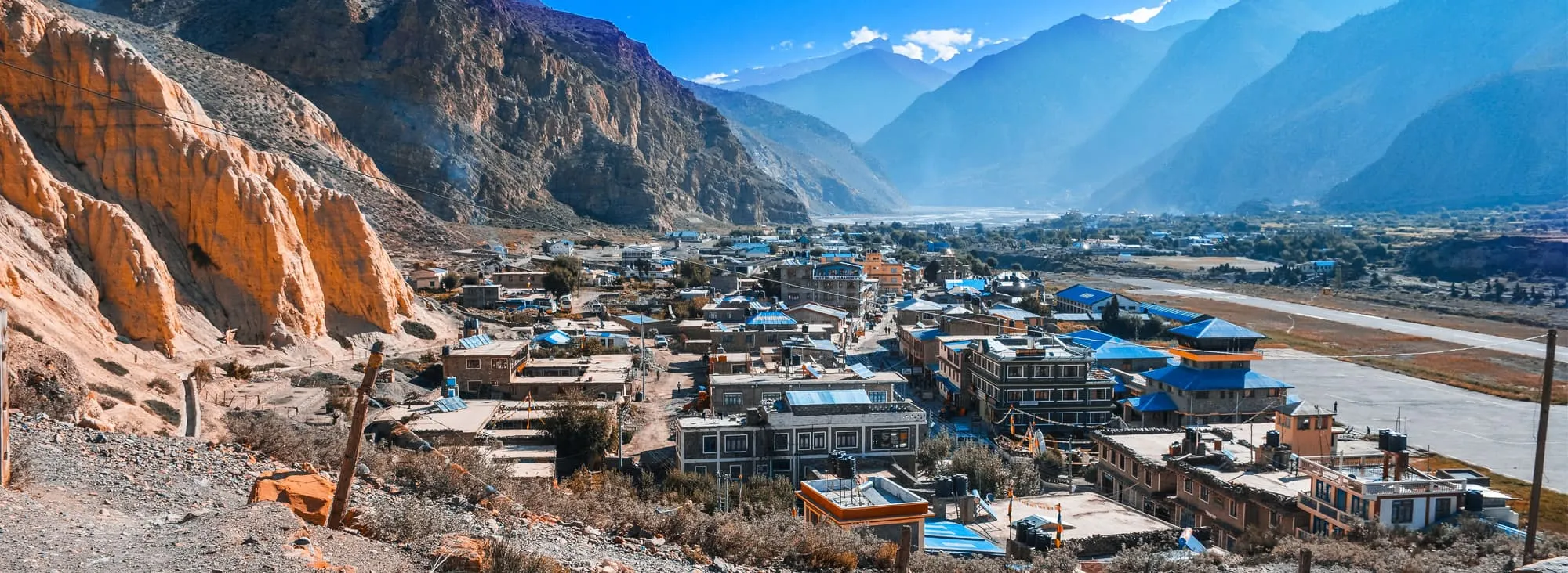
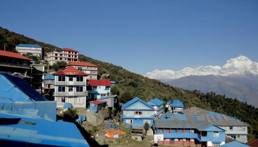
Autumn in the Annapurna Region (September, October, November) is, like springtime, prime trekking season with similar trekking conditions. There is one difference. The air in spring is sometimes a little hazy due to the dust in the atmosphere. Post-monsoon the air is very clear, allowing for stunning views of the mountains.

Winter

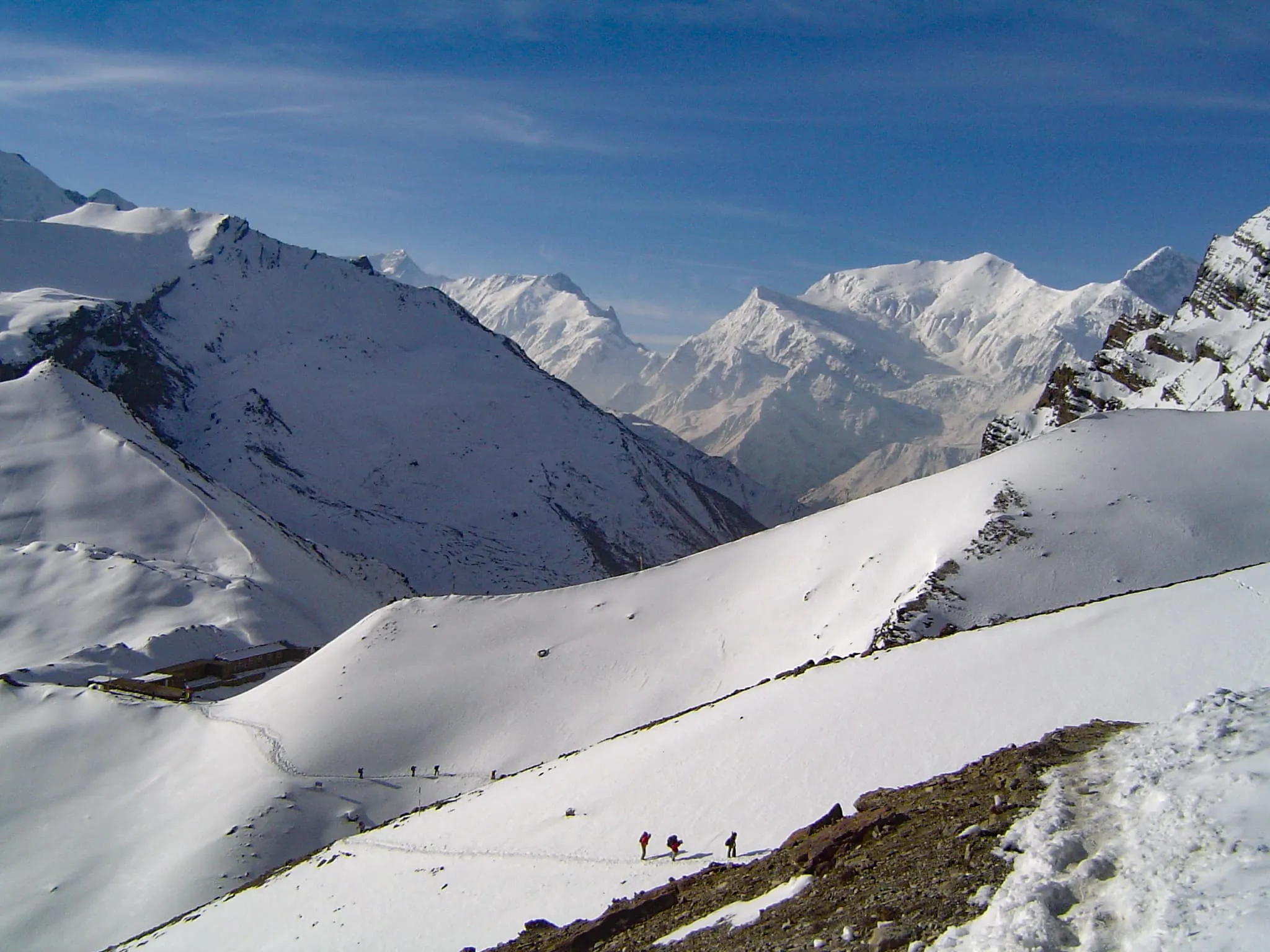
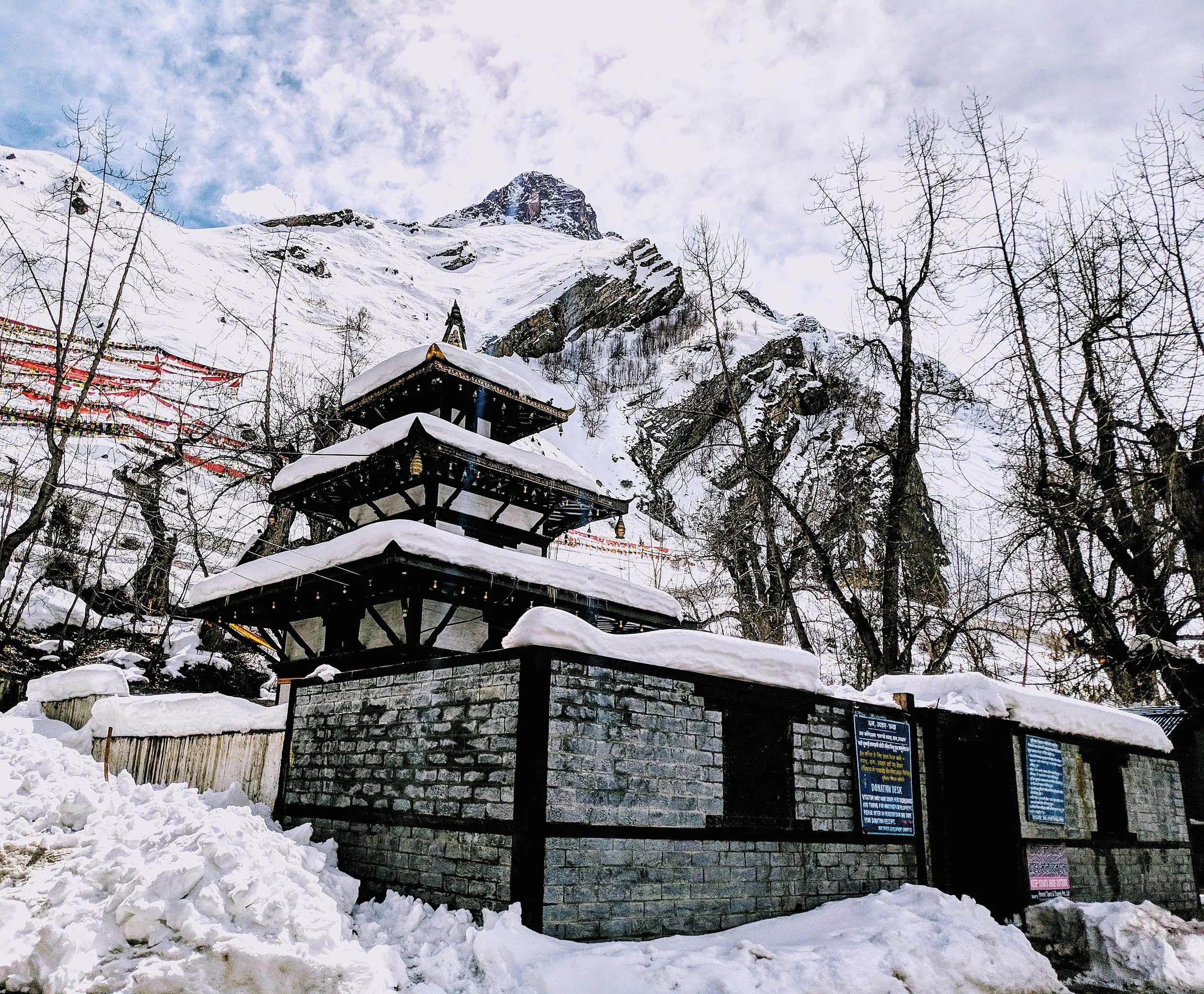
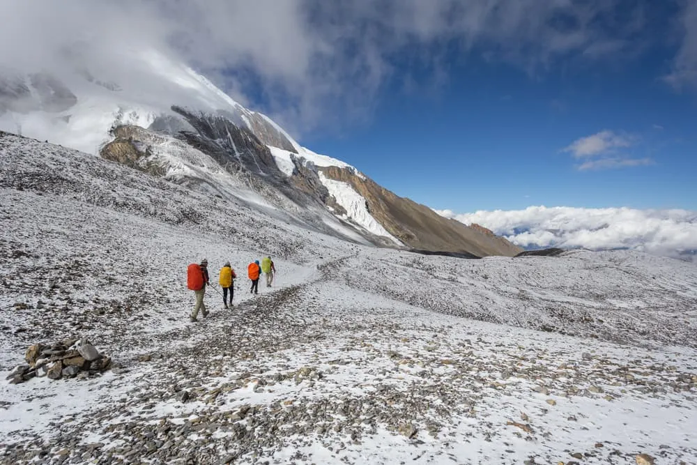
Winter season runs from December to February. This period is the toughest time to trek on the Annapurna Circuit. With the Thorung La elevation exceeding the 5000 meters mark, it gets extremely cold. Night temperatures drop to -20 degrees Celsius. Add wind and snowfall and you’ve got yourself a proper winter expedition. Why do we still run the Annapurna Circuit trek in winter? We work with some of the best trekking companies in Nepal. Besides trekking trips they also organize climbing expeditions to some of the highest peaks in the Himalayas. Our partners can keep you safe and comfortable, even in these cold conditions. And you will probably have the entire trail to yourself!

The Best Time to Hike Annapurna Circuit

The Dynamics of the Annapurna Circuit Route

During the last 20 years a lot has changed in the Annapurna Region. In the name of progress, the lower parts of the Marshyangdi Valley have been made more accessible by building. Originally, the Annapurna Circuit route always started in Besisahar. Nowadays some tour operators opt for a start deeper into the valley as a dirt road has been built all the way to the mountain village of Manang. Bhulbhule is our choice to start the trek. From here you can avoid the road and hike on walking paths rather than the road. The biggest change however is the road development on the western side of the route. In recent years, a road has been constructed from Pokhara to Jomsom and extended even to the village of Muktinath. Some parts of the road are tarmac, some are gravel. Regardless, it has had a big impact on the original Annapurna Circuit itinerary. Especially between Jomsom and Tatopani most tour operators cover this section by car, as the alternative would be walking on a relatively busy road. From Tatopani trekkers can follow the original route again towards Ghorepani, Poon Hill and beyond. Having said all this, the Annapurna Circuit remains one of the most spectacular treks in Nepal, simply because the actual landscape and culture hasn’t changed much.

The Dynamics of the Annapurna Circuit Route

Not sure yet or want to discuss your plans for the Annapurna Circuit Trek with one of our trekking experts? Get in touch today and turn your dreams into memories!

Annapurna Circuit Itinerary

It is best to do the circuit in 15 or 18 days. The 18-day version is old school and only follows the oldest trails. However, more and more people are choosing to do the 15-day version. If you choose the 15-day trek, you are sure to have a short break halfway and can enjoy all the attractions that the Annapurna Circuit has to offer.

Day
1

Drive to Bhulbhule

Our trekking guide will come to pick you up at your hotel about 7 AM in the morning, we then drive along the Kathmandu-Pokhara highway to Dumre and then follow the narrow and paved road by the Marsyangdi River to Besisahar. We then drive to Bhulbhule where you will spend the night at an hotel.

Bhulbhule

Info
Bhulbhule
Day
2

Trek to Chamje

Duration: 08:00 h
Distance: 21.5 km
Ascent: 1000 m
Descent: 460 m
After breakfast we start trekking to Chamje. This will take us about 7-8 hours. The trail goes flat for the first part then climbs steeply. The path is cut into the sheer cliff-face some 200-300m above the riverbed. Eventually we descend to the stone village of Jagat (1330m) situated on a shelf which juts into the precipitous Marsyangdi valley. Here the trail goes up and down to Chamje through the forests.

Chamje

Info
Chamje
Day
3

Trek to Bagarchhap

Duration: 06:20 h
Distance: 14.3 km
Ascent: 980 m
Descent: 240 m
As we move past narrow and steep valleys, through rhododendron, pine and bamboo forests, in the rocky folds of a mountain, we come across a bridge that takes us to a quick ascent and finally atop a climb to reveal a widening valley. After reaching the village of Tal, we have to move across barley, wheat and potato farms for a while before we reach Dharapani. From there we turn west through the fir and pine forests to reach Bagarchhap.

Bagarchhap

Info
Bagarchhap
Day
4

Trek to Chame

Duration: 05:00 h
Distance: 13 km
Ascent: 780 m
Descent: 200 m
From Bagarchhap we start ahead to reach a Danaque village and then a steep climb to reach a Tamang village with exquisite views of Manaslu, Lamjung , Annapurna and other mountain beauties. As we trek through a Tibetan village that acts as a transition between the lowlands and high hills, we follow a gradual flat path to Thanchowk, Kolo and finally to Chame.

Chame

Info
Chame
Day
5

Trek to Pisang

Duration: 06:00 h
Distance: 14 km
Ascent: 800 m
Descent: 180 m
We start our trekking from Lamjung Himal as we see it glittering in the morning sunshine with the first rays hitting us warmly in the face and we set off for Pisang, The mountain disappears as we climb the path up the valley, passing a huge apple orchard. We continue through fir and pine forests, climbing to a high, rocky area as the opposite bank becomes an impassable cliff. From this point the valley becomes extremely steep-sided as we follow the path to Bratang (2950m). A short climb from the village brings us to a rock-strewn area where we cross a wooden bridge and follow a high, winding trail, before crossing back to the right bank again. We now trek through a pine forest and as the forest ends, the valley changes from a V-shape to a gentle U-shape, opening up wonderful vistas and then we come to a long mani wall by a bridge and the lower village of Pisang, overnight at Guesthouse.

Pisang

Info
Pisang
Day
6

Trek to Manang

Duration: 10:00 h
Distance: 20 km
Ascent: 710 m
Descent: 500 m
We start our trekking with climbs to steep ridge which affords good views of the Manang valley and Tilicho peak. Descending past Manang’s airstrip at Humde we will arrive and then we come to a level area from where the north-east face of Annapurna III rises to the skies above us. From the wide plains of the Sabje Khola Valley, Annapurna IV also becomes visible. Just beyond this point we cross the considerably reduced flow of the Marsyangdi Khola via a wooden bridge to the tiny village of Mungji. Cultivated fields appear on both sides of the path and off to the right, below a craggy mountain, we will see the village of Braga with its splendid monastery. Large chortens and mani walls abound and the tall peaks of the Himalaya spread out before us. After a short steep climb we will reach Manang.

Manang

Info
Manang
Day
7

Acclimatisation in Manang

Today we will gives our lungs a breather while we're taking a resting day. We do have the option to do some short hikes to get used to the thin air. Today, we hang around town; this is an important rest and acclimatization day before crossing the Thorung La. There are optional day walks such as crossing the river to see the tremendous icefall coming down from the Annapurna, or climbing high above the village for a full panorama of the Annapurna range and the Manang Valley. There is also a Himalayan Rescue Association [HRA] aid post in the village which makes for an interesting and educational visit. Moreover you can visit Ganagapurna Glacier Lake to make your rest day a memorable one.

Manang

Info
Manang
Day
8

Trek to Yak Kharka

Duration: 05:20 h
Distance: 9.6 km
Ascent: 550 m
Descent: 60 m
Today the trail ascends gently all the way to Yak Kharka passing through Gunsang village. En route, we will see panoramic views all the way and it seems it is short hiking, however, we will feel a bit fatigued as we are going higher and find less oxygen in the air.

Yak Kharka

Info
Yak Kharka
Day
9

Trek to Thorung Pedi

Duration: 04:00 h
Distance: 7 km
Ascent: 520 m
Descent: 50 m
We start our trekking with a gradual climb to a ridge before descending to the headwaters of the Marsyangdi and crossing via a covered wooden bridge. After a short ascent up the mountain path on the right bank, you follow a narrow trail across an unstable scree slope and then descend to Thorung Phedi.

Thorung Phedi

Info
Thorung Phedi
Day
10

Trek to Muktinath via Thorung La Pass

Duration: 10:00 h
Distance: 15 km
Ascent: 910 m
Descent: 1660 m
Today, we start our trekking quite early in the morning crossing the Thorung La (5416m). The trail becomes steep immediately on leaving camp but as this trail has been used by local people for hundreds of years the path is well defined. The gradient then eases and after around 4 hours of steady climbing, we will reach the chorten and prayer flags of the pass. The views are dramatic to say the least, from the snow-covered mountains above, to the head of the Kali Gandaki valley below and the brown and purple hills of Mustang which are spread out before us. The descent to Muktinath is a knee pounding 1600m but it’s compensated with excellent views of Dhaulagiri. Eventually the moraines give way to grassy slopes before a pleasant walk along the Jhong Khola Valley to Muktinath and its shrines.

Muktinath

Info
Muktinath
Day
11

Trek to Jomsom

Duration: 06:30 h
Distance: 19 km
Ascent: 110 m
Descent: 1130 m
From Muktinath, we follow a trail part of the Jomsom trek where we descent through meadows, streams and fruit trees to finally reach Kagbeni. We look around the old village and then moving downwards. From Kagbeni we reach Jomson, Kali Gandaki valley.

Jomsom

Info
Jomsom
Day
12

Drive to Tatopani

The road from Jomsom to Tatopani goes via a new trail past Chokhopani village which is a traditional Thakali village. The panoramic views of the Himalayas include Nilgiri, Dhaulagiri, Tukuche, Annapurna and many other snow capped peaks. From here we cross a river and a newly constructed road that will make us finally reach the hot spring town of Tatopani.

Tatopani

Info
Tatopani
Day
13

Trek to Ghorepani

Duration: 07:00 h
Distance: 15 km
Ascent: 1700 m
Descent: 70 m
We start our trek for today by covering some flat trails for some distance. Then the trail begins ascending steeply for at least one hour until it goes up through different villages inhabited by the people of different caste and a lot of agricultural land that shows this village is pretty well off. The majority of the people here are Gorkhalis who serve in the Indian army. Then the trail ascends gently all the way to Ghorepani passing through small villages like Phalate, Chitre and so on. While trekking you pass through rhododendron forests and come across the wild life such as monkeys and birds of various species. You are accompanied by more panoramic views of different mountains.

Ghorepani

Info
Ghorepani
Day
14

Ghorepani – Poonhill – Nayapul

Duration: 08:45 h
Distance: 21 km
Ascent: 480 m
Descent: 2220 m
We have an early morning ascent of Poonhill for the sunrise. This has to be the highlight of the trek as we make our trip to the vantage point early in the morning with sunrise. Once you see the snow capped peaks highlighted in the changing golden rays of the sunrise, it will be one of the most unforgettable moments of your life. The peaks in the scenery include the Annapurna range and Dhaulagiri. Known as a photographer’s paradise, we can spend some time here taking pictures of the mountain scenery, capturing the spectacular landscape. We then descend to Ghorepani for breakfast and then trek for 5 hours down to Nayapul. The first part of the trek down until Tikhedhunga is quite steep down hill. From there we move past terraced fields for a few hours to reach Nayapul. A short drive will finally take us to Pokhara.

Pokhara

Info
Pokhara
Day
15

Drive from Pokhara to Kathmandu

We take a tourist bus at 7 AM to drive to Kathmandu and the driving will be fantastic along with many towns and we are able to see the settlements, rivers, terraces and landscapes, after 7 hours driving we will arrive Kathmandu and overnight at your hotel.
Hide entire itinerary

How To Cross The Thorung La?

The Thorung La is no doubt the crux of the trek. Here, the Annapurna Circuit elevation reaches its absolute max at 5416 meters above sea level. It is an old trading route and connects with Tibet. The altitude of this mountain pass is higher than any mountain in the European Alps including Mont Blanc. In height it is comparable to a big mountain like Mount Elbrus in the Russian Caucasus. Do you need to acclimatize to avoid altitude sickness? For sure! Do you need special skills to cross the Thorung La? The answer is no. You just need to be fit!

It is a bit like scaling a mountain, but you are walking up rather than climbing. The day starts very early and you basically hit the trail before sunrise. The guides are doing the pacing to make sure you don’t head up too quickly. The path itself is not that steep, but you will feel the thin air at this altitude. From around 5000 meters we were walking on snow, with a good track carved out by the people who had gone before us. The snow really adds to the adventurous feeling of scaling a mountain pass this high. Looking back you can see all the big peaks of the Annapurnas as if you are at the same level with them. Perhaps my most magical moment on the entire trek was just before sunrise while going up the Thorung La. Alpenglow lit all the Annapurna peaks bright pink, with a steel blue sky as a background.

Reaching the Thorung La pass was an incredible, rewarding experience. As a guide I was very proud that each group member made it to the top, although it wasn’t easy. And there was still 1600 vertical meters of descent to go to the village of Muktinath. Despite that, I believe that everybody with willpower, stamina and a sense of adventure can do it.

How To Cross The Thorung La?

Annapurna Circuit Map

This map gives you an overview of our 15-day Annapurna Circuit itinerary.

What Permits Do I Need For The Annapurna Circuit Trek?

For trekking on the Annapurna Circuit, you need the following permits:

TIMS (Trekkers Information Management System):

This permit is important for every trekker wishing to trek in Nepal. From the Annapurna Circuit to the trek to Poon Hill, all trekking routes require this permit. This costs NRS 2000 per person. This equals about 17 USD or 15 EUR.

Annapurna Conservation Area Project (ACAP) Permit

An ACAP Permit is obligatory for individuals who wish to explore the trekking routes within the Annapurna region. It is overseen by the National Trust for Nature with the primary goal of safeguarding and preserving the region's wildlife and natural environment. The funds gathered through this permit are dedicated to conservation efforts.

For each individual embarking on a single-entry trek, the cost of an ACAP Permit is Rs. 3000 (roughly USD25), regardless of the duration of the stay. These permits can be acquired in either Kathmandu or Pokhara, and there are designated checkpoints along the trail to maintain your trekking records.

Staying In Tea Houses On The Annapurna Circuit

Tea houses are small hotels known as Bhatti. These are small hotels and you can expect a certain level of comfort. However comfort in this high, remote region is relative. Tea houses are comfortable to the extent that you have a roof above your head and that you can enjoy warm, home-cooked meals. They are run by local families who have opened their houses to trekkers passing by.

Trekking in Nepal has become very popular in recent years, and more and more tea houses have popped up along Nepal’s trekking routes. The more popular your route, the better the quality of your tea house is. Hence, the tea houses on the Annapurna Circuit Trek are good value for money. You can expect flush toilets, hot showers and in some cases even wireless internet. The use of these amenities is usually at an additional charge.

Staying In Tea Houses On The Annapurna Circuit

How To Identify and Prevent AMS On The Annapurna Circuit Trek?

It's essential to understand that altitude sickness can affect anyone, regardless of age, fitness level, or previous high-altitude experience. These days there are several tools to monitor your health at altitude. A widely-used (analog) method is the Lake Louise score card. It ticks the altitude symptoms while keeping the severity in mind. It’s a common tool used by guides. Nowadays, most trekking and mountain guides bring a blood oxygen saturation meter, which also measures the heart rate. These are key indicators whether a person adapts to altitude well or not. AMS can occur when trekking the Annapurna Circuit Trek. Below you can find everything you need to know about altitude sickness.

  • Acute Mountain Sickness (AMS)

    Altitude sickness, also known as Acute Mountain Sickness (AMS) is a health condition that occurs when someone is exposed to low levels of oxygen at higher altitudes. AMS is a serious condition and as the name suggests acute. It needs to be dealt with immediately, as it is potentially life-threatening. Most people will experience some mild symptoms of altitude sickness. It’s important to be aware of these symptoms and act before symptoms become more severe. Below we break down the different forms of AMS and how you can reduce the risk of getting it.

    AMS symptoms

    It is key to know how to identify altitude illness. You may experience the following symptoms due to the jump in altitude: headache, lack of appetite, breathing difficulties, insomnia, nausea and vomiting. The intensity and severity of these symptoms may increase with altitude and an overall feeling of fatigue will take all your joy away. This may further deteriorate to one of these life-threatening conditions.

    High Altitude Pulmonary Edema (HAPE): HAPE is a condition in which fluid accumulates in the lungs, making it difficult to breathe. Symptoms may include shortness of breath, a persistent cough, chest tightness, and an increased heart rate. It can be a life-threatening condition and requires immediate descent to lower altitudes and, in severe cases, medical treatment.

    High Altitude Cerebral Edema (HACE): HACE is a more serious condition in which fluid accumulates in the brain. Symptoms may include severe headaches, confusion, loss of coordination, and altered mental status. HACE is also a medical emergency and requires immediate descent and medical attention. Below 7 ways of minimizing the risk of AMS:

    • 1. Gradual Ascent

      One of the most effective ways to prevent AMS is to ascend gradually. When traveling to high altitudes, try to take several days to acclimatize before going higher. This allows your body to adapt to the reduced oxygen levels. All our treks in Nepal keep sufficient acclimatization into account.

    • 2. Stay Hydrated

      Dehydration can increase the risk of AMS, so drink plenty of fluids. Avoid excessive alcohol and caffeine consumption, as they can contribute to dehydration.

    • 3. Diet

      Consume a balanced diet with adequate carbohydrates and avoid heavy, fatty meals. Carbohydrates can help your body utilize oxygen more efficiently at high altitudes.

    • 4. Medication

      Some individuals may consider taking medication, such as acetazolamide (Diamox), to help prevent AMS. Consult with a healthcare professional before using any medication, and be aware of potential side effects.

    • 5. Rest

      Ensure you get enough sleep and rest during your ascent. Fatigue can increase the risk of AMS.

    • 6. Avoid Overexertion

      Pace yourself and avoid overexertion. Listen to your body, and if you experience symptoms of AMS, rest or descend to a lower altitude.

    • 7. Descend if Symptoms Persist

      If you experience symptoms of AMS, such as headache, nausea, dizziness, or difficulty breathing, it's crucial to descend to a lower altitude. Symptoms should not be ignored or dismissed.

Packing List for the Annapurna Circuit Trek

Trekking in Nepal requires good quality and appropriate equipment. Especially the essentials like a good pair of hiking boots and breathable hardshell rain jacket. We highly recommend that you read our suggested packing list to hike the Annapurna Circuit Trek.

  • Technical Clothing

  • Headwear

  • Handwear

  • Footwear

  • Accessories

  • Equipment

  • Other

Where Can I Book the Annapurna Circuit Trek?

At Bookatrekking.com you can book this trek and many others. Our guided options come with experts on the ground, and offer you a convenient, stress-free, safe, and educational way to explore the outdoors. Find our offers here. Our easy-to-use platform allows you to browse and compare different trekking options and find the perfect fit for your interests, abilities, and budget.

If you have any questions about a specific trek or need help choosing the right one for you, our team of trekking experts is here to assist you. Simply reach out to us and we will be happy to provide you with personalized recommendations and advice to help you plan the trekking adventure of a lifetime.

Is this not your cup of tea and are you looking for other epic adventures? Check out one of our blog posts:

Comments

About Us

At Bookatrekking.com, you will find the trek that will make your life unforgettable. Whether you want to explore the Inca Trail or climb Kilimanjaro. Bookatrekking.com has a wide and varied range of first-class treks. No false promises are made here. Transparent prices and bookings are fixed instantly. Find, compare, book and trek!
Read more about us
About Us

Also Interesting

Show more