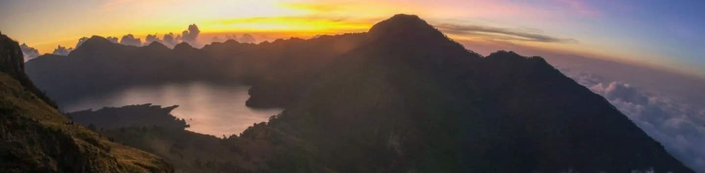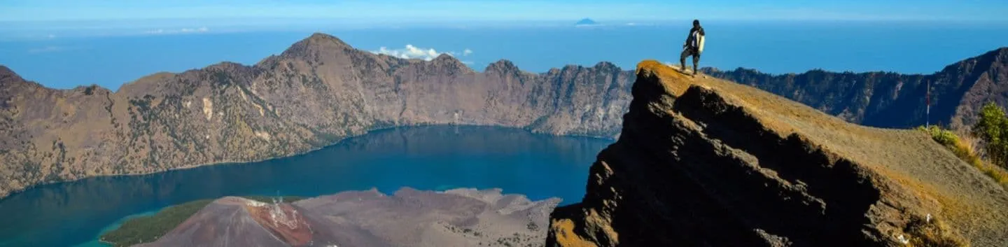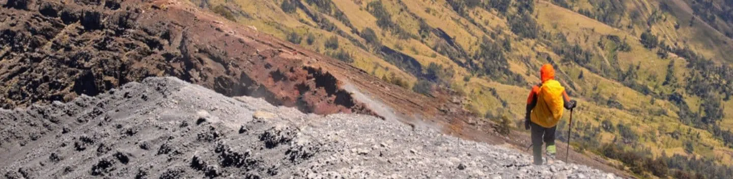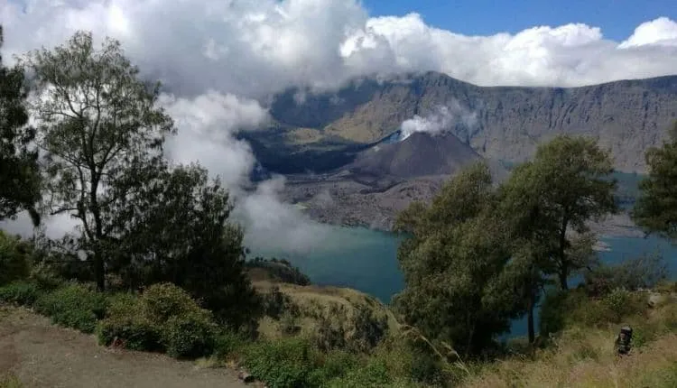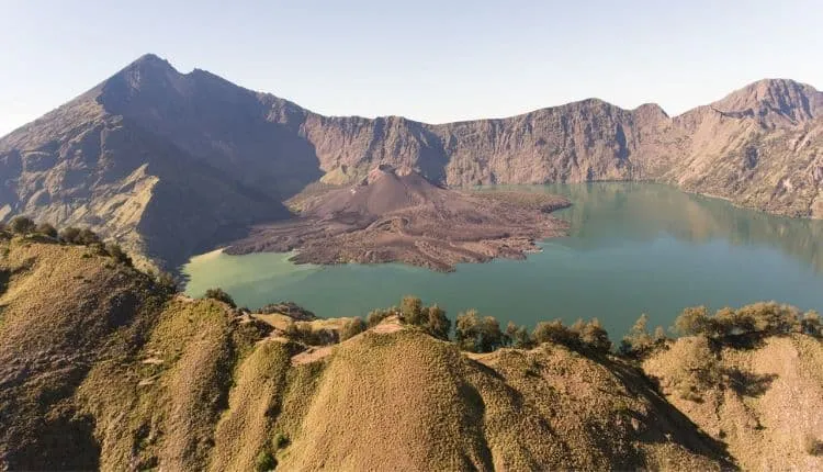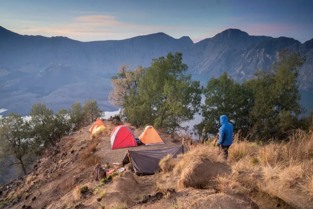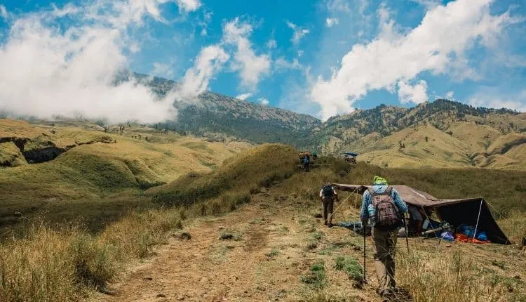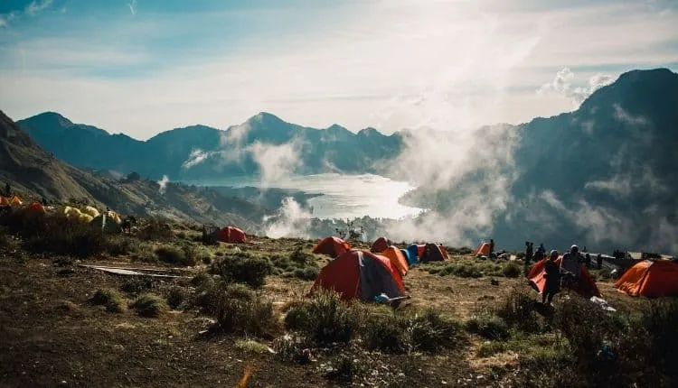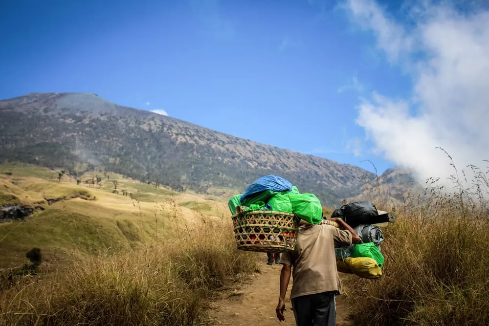
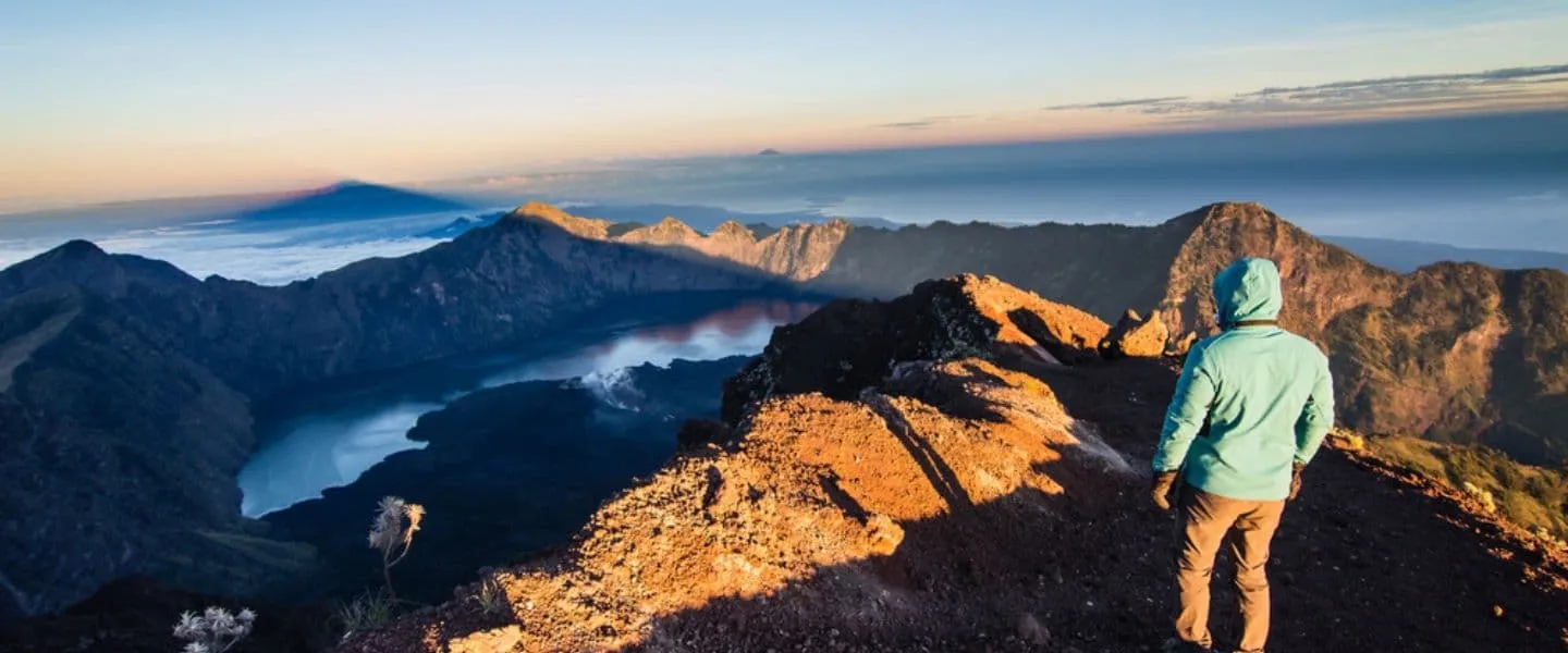
For years a Rinjani trekking has been a popular outing for backpackers who want to sweat out some of the party liquids they have been enjoying elsewhere in South East Asia. Trekking on the second highest volcano in Indonesia has been on the bucket lists of plenty of backpackers and visitors to Indonesia. Mount Rinjani, in Indonesian known as Gunung Rinjani, is an active volcano on the island of Lombok in Indonesia.

EUR €
EUR €
GBP £
USD $
CAD C$
SEK kr
NOK kr
DKK kr
AUD A$
CHF CHF
NZD NZ$
HKD HK$
SGD S$
RON lei
HUF Ft
CZK Kč
Destinations
Destinations
Europe
Trekking type
Trekking type
Hut-to-hut hiking France
Hut-to-hut hiking Spain
Hut-to-hut hiking Pyrenees
Hut-to-hut hiking
Hut-to-hut hiking Dolomites
Hut-to-hut hiking Alps
Hut-to-hut hiking Austria
Hut-to-hut hiking Switzerland
Walking Holiday
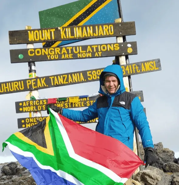
Climb Kilimanjaro