Hiking the GR221 in Mallorca: Everything You Need to Know

By Rintsje Bosch

Find that one special trekking
Search
Hiking the GR221 in Mallorca: Everything You Need to Know
Quick personal advice
Free cancellation up to two weeks in advance
Trekking experts per destination

The isle of Mallorca? That's an island in the Mediterranean where you can go for a beach holiday, right? Soak up the sun and sea and enjoy good food and drinks. You can certainly do that in Mallorca, but the island has much more to offer! You will find beautiful nature, lovely authentic villages and you can hike a long-distance trail, the GR221. Reason enough for Bookatrekking.com to take a look.

Mallorca is part of the Balearic Islands, a group of islands in the Mediterranean Sea which also includes Ibiza and Menorca. The island has been a popular holiday destination for sunny beach holidays for decades, which is where you might recognize Mallorca from. Besides a number of seaside resorts, the island also boasts a varied and mountainous landscape with a nice sea breeze. Here you walk among almond and orange trees and enjoy views of the sea and mountains. Meanwhile, you'll hear the occasional goat bleating among the tall grasses and you might encounter a shepherd with his flock.

Where in Mallorca Can I Find the GR221?

Running along the north-western side of Mallorca are the Serra Tramuntana, which freely translates as 'the mountains of the north'. The mountain range has been a UNESCO World Heritage Site since 2011, meaning it has great scenic and cultural value. Mallorca's highest peak, the 1,445-metre-high Puig Major, is also part of the Serra Tramuntana. A notable fact is that about 90% of Serra Tramuntana is owned privately, therefore not the whole area is freely accessible; the GR221 route, of course, is. The mountain range is composed mostly of limestone, where rugged plants grow among rocky walls. Along the way, you will encounter a varied landscape including olive, citrus and walnut trees. The charming villages in the Serra Tramuntana are great places to stay and relax after a day of hiking.

Where in Mallorca Can I Find the GR221?

Book Now

GR221, Ruta de Pedra en Sec or Drystone Route?

Perhaps the names create some confusion, all three refer to the 140-kilometre long walk, in which you explore the Serra Tramuntana in ten stages. Ruta de Pedra en Sec translates as Drystone Route, while GR221 is the 'official' name. The route stretches from Port d'Andratx to Pollença, with alternative start and finish locations possible, in addition to the standard stages. In the route description for each stage, we will explain these stages in detail.

GR stands for Grande Randonnée and is a collective name for long-distance routes across Europe. Hiking a whole route can turn into a life project, while the shorter circuits make for great hiking holidays.

Not sure yet or want to discuss your plans for the GR221 Mallorca with one of our trekking experts? Get in touch today and turn your dreams into memories!

What Will I Encounter on the GR221?

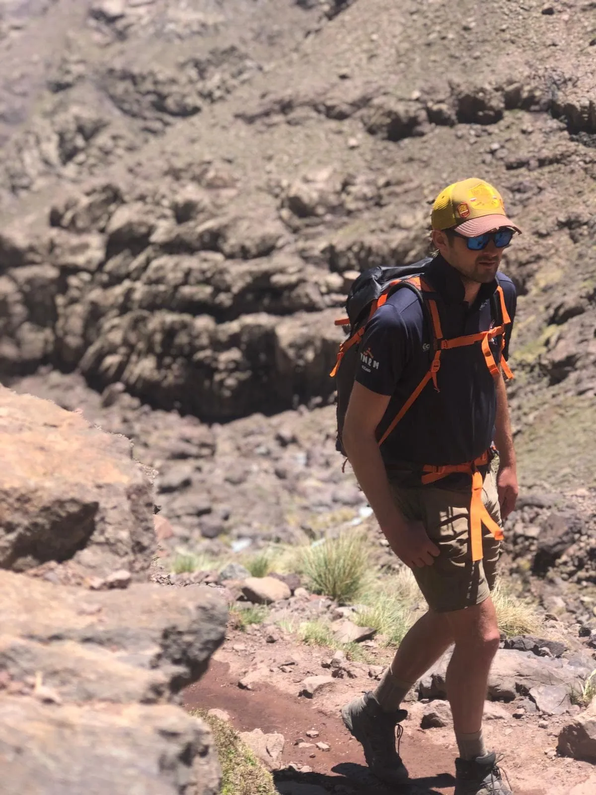
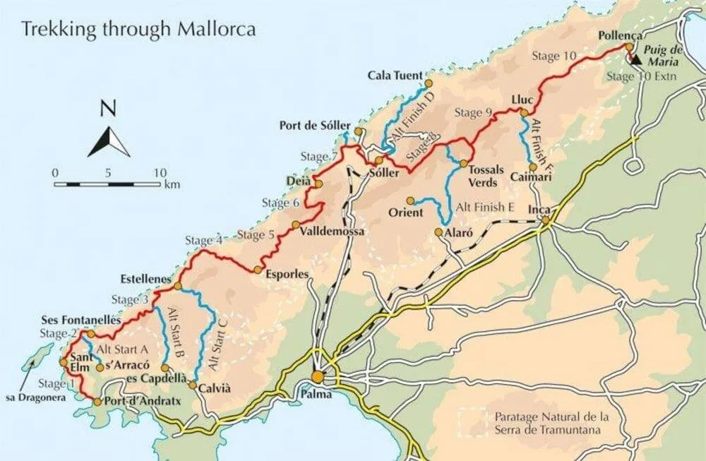
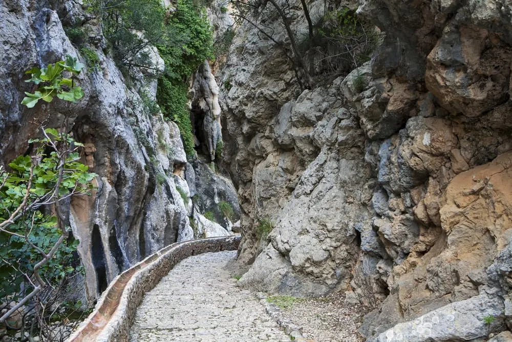
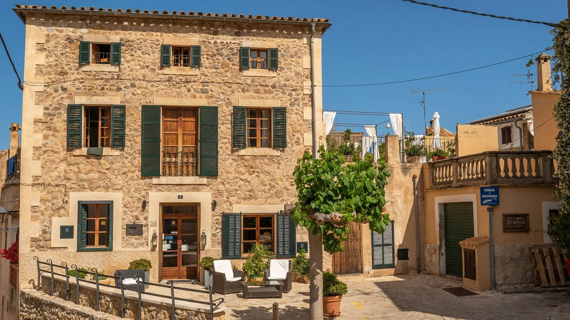
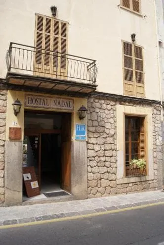
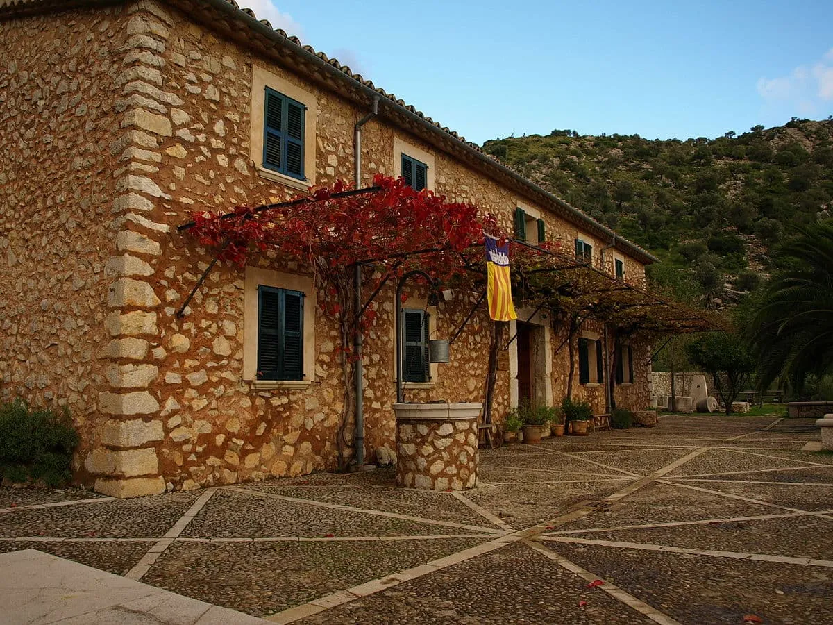
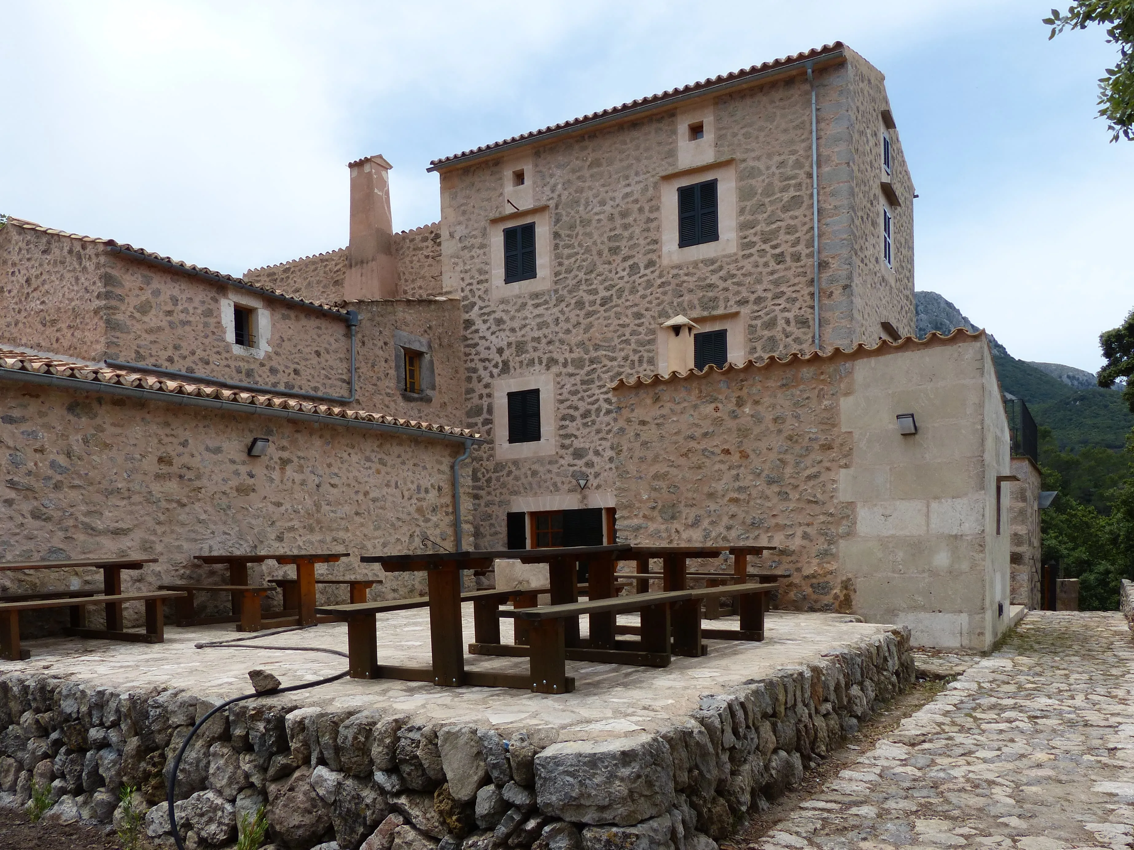
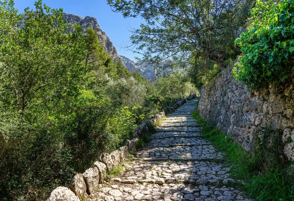
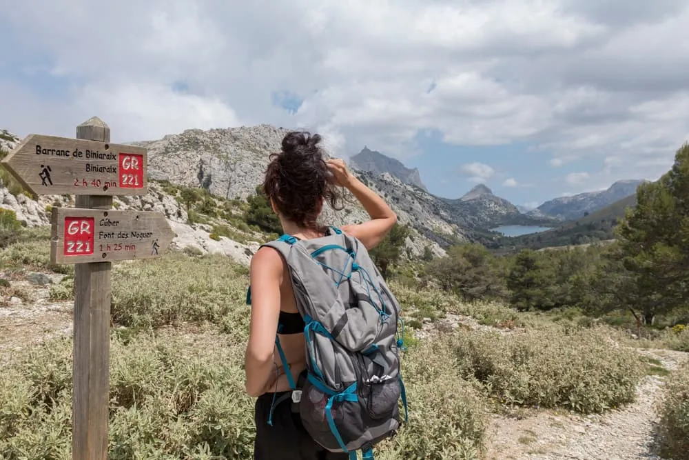
Hiking the GR221 is a wonderful experience, with various highlights. Apart from the natural surroundings where you encounter highlights each day, other beautiful things can be seen. Along the way, you regularly come across (remnants of) snow pits, charcoal circles, and lime kilns in the landscape, all of which had their own function. Many of Mallorca's trails were created by people who worked within one of these areas.

Snow Pits

It occasionally snows on Mallorca, because of the temperature, snow does not last long. Snow pits were dug to store snow and ice, these were then covered with ashes, branches, and grass. Blocks of ice were transported by mules to towns and villages to use, both for cooling food and drink and also for medical purposes. The last use of a snow pit was in 1925; modern cooling techniques made its use unnecessary.

Charcoal Circles

Charcoal production was common until the 1920s. Charcoal burners stayed in the forests with their families during the summer months to produce charcoal. Remains of the huts and houses they lived in can be seen along the way on the GR221, as well as the ovens charcoal burners used to bake bread. The circular hearths on which charcoal was burned are still visible in the landscape, too.

Lime Kilns

The Serra Tramuntana are largely composed of limestone, which is why you will also come across old lime kilns while hiking. To produce lime, fires were lit that had to be kept burning for two weeks, which meant huge amounts of forest were cut down. The lime produced was mainly used for the whitewashing of houses and to make mortar.
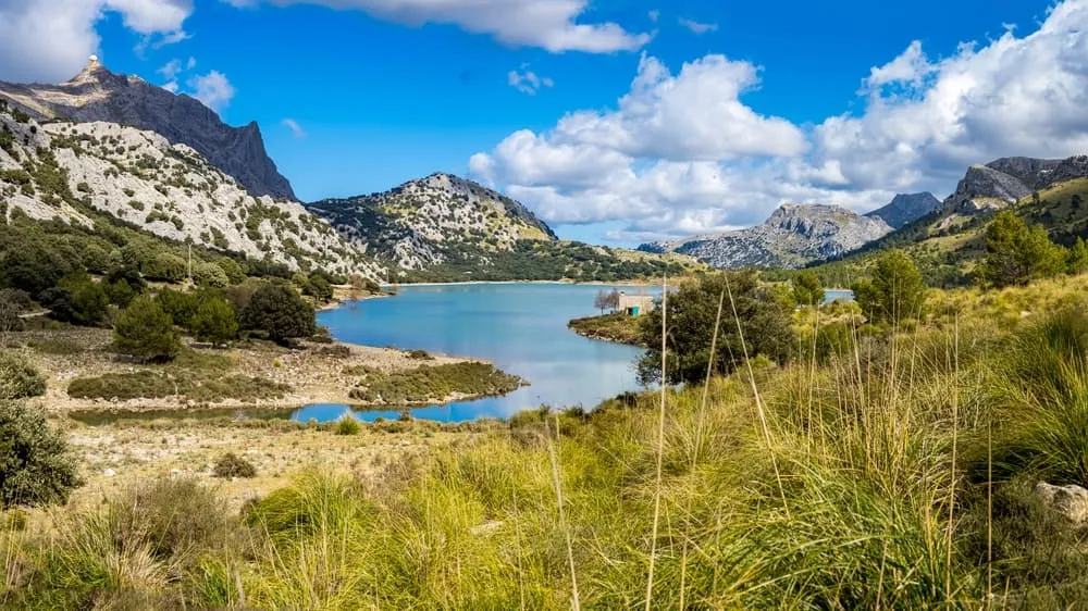
Flora & Fauna

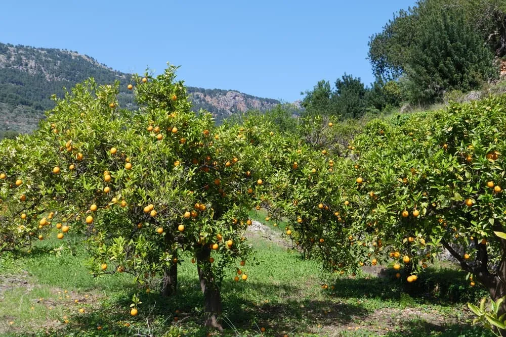
Mallorca's landscape is diverse, with many animal and plant species that are resistant to the hot and dry climate. While on the GR221 you pass countless olive trees, some of which are more than 1,000 years old. Citrus and almond trees are also abundant and, depending on the season, spread a wonderful scent.

You will also spot small plants and flowers among the rocks, always doing their best to enjoy the sun. You will frequently find them together with tall grasses along much of the route, be careful not to get caught in these with your foot.

In addition, Mallorca is home to many wild goats, which you can hear bleating from the forests. These animals may be hunted subject to conditions, hence you may come across 'Big Game Hunting' signs along the way and, exceptionally, a hunter himself. Apart from the wild goats, you will encounter sheep and some cows on the GR221, grazing among orchards and in forests. In the sky, you can spot various birds, with the black vulture being the highlight if you are lucky!

What Will I Encounter on the GR221?

Will the GR221 Be Something for Me?

The GR221 is divided into ten stages of varying lengths. Further below you can find an overview of the stages, the number of kilometres and the metres you will ascend and descend during a day. While officially the route is divided into eight stages, Bookatrekking.com really recommends completing the route in ten stages. This way, you build in more of a break and the day-to-day distances are not excessively long. In total, you cover over 140 kilometres and ascend and descend 6,140 and 6,150 metres respectively.

The route has no technical difficulties and is suitable for anyone with a decent fitness level. That leaves plenty of time for breaks at the orchards, enjoying the beautiful views from the mountain trails and a drink on a terrace at the end of the day. Is it something for you?

Best Season for the GR221

Mallorca's climate has hot, dry summers and relatively wet winters. In the summer months, the average temperature is around 30 degrees, though often with a slight breeze. Since Mallorca is an island, the weather can sometimes be unpredictable. A sunny start to the day with a rainy follow-up is possible. Generally, the weather is sunny and warm.

Bookatrekking.com therefore recommends hiking the route in spring or autumn and not in July or August. The trails are easily passable then and the weather is not excessively hot. This way, you can hike comfortably and enjoy the GR221 at its best.

Best Season for the GR221

Did you know that we can book all huts and refuges for the GR221 Mallorca for you? Check out all our options here.

GR221: The 10 Stages From Day to Day

Day
1

Arrival in Port d'Andratx

You arrive in Mallorca the day before the trek starts, this will contribute to a relaxed start of the trip. From Palma de Mallorca it is easy to reach Port d'Andratx, the starting point of the GR221. Under FAQ you can find exactly how to get to Port d'Andratx. The routes lead you to the villages where your accommodation is booked. Note that not all routes lead you exactly to your accommodation.

Hostal Catalina Vera (Puerto d'Andratx)

Info
Hostal Catalina Vera (Puerto d'Andratx)
Day
2

Port d'Andratx to Sant Elm

Duration: 02:10 h
Distance: 8.41 km / 5.2 mi
Ascent: 320 m / 1050 ft
Descent: 320 m / 1050 ft
The route starts gently from the port of Port d'Andratx, through low wooded hills you walk towards Sant Elm, enjoying views of distant mountains along the way. After just two kilometres, you can enjoy the first panoramic views over the Mediterranean bays. The beautiful views will continue throughout the route. You also pass the Pas Vermell, where you have to climb for a while. You then descend to Sant Elm, a fishing village with beautiful beaches. Here you can relax after the first day of hiking!

Hostal Dragonera (Sant Elm)

Info
Hostal Dragonera (Sant Elm)
Day
3

Sant Elm to Ses Fontanelles

Duration: 03:20 h
Distance: 12.3 km / 7.6 mi
Ascent: 560 m / 1837 ft
Descent: 280 m / 919 ft
Starting from Sant Elm on the second day, the route goes up to the Pas de la Trapa. Along the way, you'll pass the ruins of the monastery that stood here for centuries and walk along the rocky coast. You will also see many different plant and animal species here, many of which are protected. After about five kilometres of walking, you reach the highest point of the day. You walk alongside cliffs here while enjoying beautiful views over the sea and Isla Dragonera. You then gradually descend to eventually end up in Ses Fontanelles.

Finca ses Fontanelles (Ses Fontanelles)

Info
Finca ses Fontanelles (Ses Fontanelles)
Day
4

Ses Fontanelles to Estellencs

Duration: 04:00 h
Distance: 11.9 km / 7.4 mi
Ascent: 570 m / 1870 ft
Descent: 710 m / 2329 ft
From Ses Fontanelles, the route continues up to the Mola de s'Esclop, a climb with rocky and cobbled paths. The landscape here can be inhospitable, take your time to hike calmly here. The stage eventually takes you to Estellencs, the first mountain village on the route. In this charming town, you can look back at yet another beautiful day while enjoying a meal and a drink.

Hotel Nord (Estellencs)

Info
Hotel Nord (Estellencs)
Day
5

Estellencs to Esporles

Duration: 04:00 h
Distance: 14.4 km / 8.9 mi
Ascent: 550 m / 1804 ft
Descent: 520 m / 1706 ft
After an overnight stay in Estellencs, another beautiful stage is waiting for you. Over rocky paths and past old farms, you hike out of the valley towards Banyalbufar, a highlight of the day! This historic town is laid out on terraces, on which grapes are still being cultivated. You can enjoy a culinary stop here, around Banyalbufar you will enjoy views of olive groves and the ever-blue sea. You continue walking past pine trees and along old walking paths, eventually arriving in Esporles. Restaurants and other facilities are plentiful here.

S'hostal d'Esporles (Esporles)

Info
S'hostal d'Esporles (Esporles)
Day
6

Esporles to Valldemossa

Duration: 03:00 h
Distance: 9.1 km / 5.7 mi
Ascent: 580 m / 1903 ft
Descent: 360 m / 1181 ft
The fifth stage slowly takes you uphill from Esporles, after which you can fully enjoy wide views of forests, mountains and the sea. You will gradually descend towards Valldemossa, from a distance you can already see the large monastery that used to be located here. Worth a visit, like all of Valldemossa which is very scenic. A nice end of the day.

Es Petit Hotel (Valdemossa)

Info
Es Petit Hotel (Valdemossa)
Day
7

Valldemossa to Deià

Duration: 04:00 h
Distance: 13.5 km / 8.4 mi
Ascent: 590 m / 1936 ft
Descent: 820 m / 2690 ft
Another versatile day, through small valleys and olive groves you walk uphill past an old water source and a refugi, also encountering an old snow pit. During this hike, you will partially follow the Camí de s'Arxiduc, a path once built on Archduke Luis Salvador's orders to enable horse-drawn carriages. These days, you'll need your own legs to enjoy the views! Through forests and steep paths, you descend towards Deià, today's endpoint.

Refugi Can Boi (Deià)

Info
Refugi Can Boi (Deià)
Day
8

Deià to Sóller

Duration: 03:30 h
Distance: 13.3 km / 8.3 mi
Ascent: 310 m / 1017 ft
Descent: 450 m / 1476 ft
From Deià, you walk along olive groves and cobbled paths. On the way, you overlook bays along the rocky coast. After about seven kilometres, you pass an olive forest with very old trees, a lovely place to take a break and enjoy the scenery. After this, you soon have a view of Port de Sóller and all activity in the bay. Between terraces and olive trees, you continue walking to Sóller, today's destination. This town is pleasantly busy and offers many facilities, from shops to restaurants and bars. A terrace is sure to be found here!

Hostal Nadal (Soller)

Info
Hostal Nadal (Soller)
Day
9

Sóller to Tossal Verds

Duration: 05:20 h
Distance: 20 km / 12.4 mi
Ascent: 1000 m / 3281 ft
Descent: 510 m / 1673 ft
Today is a stage with contrasts, after leaving Sóller you walk over small bridges and stone paths through a narrow gorge, in between you can take a break to enjoy views of the mountains. The route continues across Coll de l'Ofre, after which you walk towards and past a reservoir. Not many people are here, you will mostly see and hear sheep. For the final stretch the route offers two options, Bookatrekking.com has chosen the slightly longer but easier one. The shorter route is steeper and has a klettersteig. You continue your way along a canal and an aqueduct, all used for the island's water supply. You eventually reach Refugi de Tossals Verds, the finishing point of the day. This is the only place to spend the night in this spot on the route, a contrast compared to the activity in Sóller.

Refugi de Tossals Verds (Tossal Verds)

Info
Refugi de Tossals Verds (Tossal Verds)
Day
10

Tossal Verds to Lluc

Duration: 04:00 h
Distance: 13.9 km / 8.6 mi
Ascent: 810 m / 2657 ft
Descent: 860 m / 2822 ft
To head towards Lluc, today's stage starts by walking a short distance back from yesterday's route. After the junction, you will gradually hike up to Coll des Prat. Along the way, you pass streams and an old spring, while the trail is varied. You also come across an old snow pit. The views continue to be beautiful. Today's destination is Lluc, towards which you hike through fields of low bushes and olive trees. The distinctive red shade of the soil is still striking. Lluc has a large monastery (Santuari de Lluc), which is worth a visit. In addition, amenities are plentiful in this town.

Refugi de Son Amer (Lluc)

Info
Refugi de Son Amer (Lluc)
Day
11

Lluc to Pollença

Duration: 04:20 h
Distance: 18.6 km / 11.6 mi
Ascent: 270 m / 886 ft
Descent: 700 m / 2297 ft
The last stage of the route departs from the monastery grounds of Santuari de Lluc, with views of the monastery and an old mill during the first few kilometres. The paths are mostly wide and well-travelled, in the woods you can hear goats bleating as you go. After about six kilometres you will come across the Alzina d'en Pere, an oak tree estimated to be 500 years old! The route takes you further along winding paths and past trees, eventually ending in Pollença via Pont Roma (a 2000-year-old Roman bridge). In this cosy town, you can raise a toast to completing the GR221!
*Stage 10 addition - Puig de Maria
A nice addition is to climb the Puig de Maria, a summit located in Pollença. After the climb you will be rewarded with beautiful views, you can also visit the chapel and explore the grounds. Afterwards, you descend back to Pollença using the same route and your tour is truly complete.

Refugi del Pont Romà (Pollença)

Info
Refugi del Pont Romà (Pollença)
Day
12

Departure from Pollença

After your breakfast, your adventure will come to an end and you'll leave Pollença. Today, you can travel back to the airport or another destination on Mallorca.
Hide entire itinerary

Where to Spend the Night on the GR221: Refuges and Hotels

During your trek, you will stay in small mountain villages, where you can find a variety of accommodation. Refuges and hotels are most common, there is also one campsite along the route and you can go wild camping. Most accommodation is open all year round, sometimes hotels are closed during winter. To ensure an overnight stay, it is wise to contact a hotel or refuge in advance and fix the desired date. Especially during high season, it can get busy along the route.

Refuges

Local authorities have created a number of refuges as special places to stay during your route. These are restored old buildings, where you can come for a meal and a place to sleep after a long day of hiking. On the refuge's terrace you can look out over beautiful surroundings and toast to another beautiful day! Often you can also reserve bedding and a towel - that saves on packing. Bookatrekking.com does recommend bringing your own travel sheet.

Refuges can be crowded in the summer months, especially on weekends when many locals are out and about. It is advisable to book your stay in a refuge in advance including options (dinner, breakfast, lunch if desired, etc.).

Food

There is no need to go hungry during your trip, you will encounter restaurants and bars in all towns along the way. Mallorca is a Spanish island, which means you can enjoy seafood and, of course, tapas. Furthermore, be surprised by the 'cuina Mallorquiana' with its soups, salads and sausages. End your dinner (or start your day) with the much-loved and protected 'Ensaimada', a light pastry containing a special ingredient. What's that? Time to head to Mallorca to find out!

Where to Spend the Night on the GR221: Refuges and Hotels

Where Can I Find Water on the GR221?

Tap water in Mallorca is fine and bottled water is available along the way. During the stages, you won't encounter much running water, though springs can sometimes be found. On the map, these are marked with the word 'font'. The springs sometimes contain a lot of water, sometimes a little and it is not always drinkable. Bookatrekking.com therefore recommends taking plenty of drinking water (at least two litres per person) with you on the road, this way you can make sure there are no surprises. During your stay at your accommodation, you can top up your water or buy new bottles in a shop.

How Do I Get To Mallorca and to the GR221?

Mallorca is a tourist island, served by many European airports. The airport is located near Palma de Mallorca. Do you have all the time for your trip? Then you might like to arrive in Mallorca by ferry. Several ferries dock from the Spanish mainland.

Getting to the GR221

From the airport, you can take a bus towards the centre of Palma, and get off at Plaça d'Espanya. The Estació Intermodal bus station is located at this square, take bus 101 from here, which will take you to the route's starting point, Port d'Andratx. Alternative starting points for the GR221 are also available, namely es Capdellà and Calvià. Starting your route here? Then take bus 107 from Estació Intermodal to get to your starting point.

Departing From the GR221

The moment you have (hopefully) completed the route and want to travel back from Pollença towards Palma, you can return by bus 301. From Palma, you can continue to the airport or another Mallorca destination. Returning to Palma partly by train is also possible, take a bus to Inca or Sa Pobla and continue from there by train to Palma.

How Do I Get To Mallorca and to the GR221?

At Bookatrekking.com, we not only book your huts, we also send you on your way with a comprehensive hiking guide with the most important information for your GR221 Mallorca, including interactive Komoot maps. Browse all our options here and turn your dreams into reality.

How Do I Find My Way on the GR221?

The GR221 is marked with signs, which also show the estimated times it takes you to cover a distance. Not all of the route is well marked, partially because 90% of the terrain is owned privately. Particularly the stages in the middle part of the route are not always clearly marked. Besides Spanish and Catalan, the local Mallorquí dialect is spoken in Mallorca. It now has the same status as Spanish, which has led to most street signs and signage being in Mallorquí rather than Spanish. This can create confusion if you have orientated yourself in Spanish before your trip, bear this in mind when looking up town names et cetera.

Can I Hike the GR221 Without a Guide?

At Bookatrekking.com, you can book self-guided GR221 treks and walks in Mallorca. Generally, the stages are clearly marked, although orientation can be tricky in poor weather. The mountains are full of surprises and the weather on an island can be unpredictable.

We will arrange accommodation for you and make sure you receive all relevant information well in advance. We also share via the Komoot app the routes of the stages, so you have all the information you need digitally and on paper.

Safety tips for the GR221 Mallorca

Although this is far from being a trek in the Himalayas, unexpected things can always happen and you might also find obstacles on the hiking trails along the way. The GR221 Mallorca is safe, the trails are quite straight forward and there is not an extreme difference in altitude. However, for your safety, every hike deserves a level of respect; respect for the terrain, the trails, wildlife and vegetation, local rules and regulations, and above all, your physical capabilities and safety. Therefore, for an unforgettable and safe hiking memory, please keep the following safety recommendations in mind:

  • Know your limits

    Always prepare each stage carefully to use your energy wisely, respect your physical and mental limitations, and avoid taking unnecessary risks. When ascending or descending, if applicable, always use the aids provided, such as handrails and ropes. Is this trek suitable for you? Well, familiarize yourself with the grading system and figure out if this trek matches your capabilities. If you still need professional advice you can always contact Bookatrekking.com experts.

  • Stay on marked trails

    The most important thing is to never leave the marked paths. For easy navigation we work with our trusted partner Komoot, whose interactive maps, also available offline, provide you with the necessary digital means to get from A to B in the GR221 Mallorca. As a backup, make sure to bring a hiking guide or a paper map with you.

  • Fully equipped

    Make sure you have the necessary gear for the conditions you'll be facing, including appropriate clothing, footwear, and any necessary equipment for the terrain you'll be hiking on. Always wear clothing adapted to the weather of GR221 Mallorca and protect yourself from cold and wetness or heat and sun. Besides, make sure you carry enough food and water for the duration of your trek. On the way, you might (or might not) be able to buy snacks.

  • Stay reachable

    If you are hiking solo or in small groups it is advisable to inform people back home about your plans, what route you are taking and when you plan to return. Even small incidents can lead to unpleasant emergencies so make sure you are available at all times. Bring a charged phone containing at least the phone numbers of immediate family members, your accommodations en route and the emergency phone numbers operating in the GR221 Mallorca.

  • Respect for nature

    Do not litter, prevent noise, stay on the marked trails, do not disturb wildlife or grazing animals, and respect protected areas.

Where Can I Book the GR221 Mallorca?

At Bookatrekking.com you can book the self-guided GR221 Mallorca and many other treks. We take care of all the details for you, including arranging accommodations, organizing luggage transportation and providing you with relevant information well in advance of your trek. Find our offers here. Our easy-to-use platform allows you to browse and compare different trekking options and find the perfect fit for your interests, abilities, and budget.

If you have any questions about a specific trek or need help choosing the right one for you, our team of trekking experts is here to assist you. Simply reach out to us and we will be happy to provide you with personalized recommendations and advice to help you plan the trekking adventure of a lifetime.

Is the GR221 Mallorca not your cup of tea and are you looking for other epic adventures? Check out one of our following blog posts:

Comments

About Us

At Bookatrekking.com, you will find the trek that will make your life unforgettable. Whether you want to explore the Inca Trail or climb Kilimanjaro. Bookatrekking.com has a wide and varied range of first-class treks. No false promises are made here. Transparent prices and bookings are fixed instantly. Find, compare, book and trek!
Read more about us
About Us

Also Interesting

Read more