Beara Way: Map, Accommodation, Walking Route and More!

Natascha Langelaan
Natascha Langelaan
Natascha Langelaan
28 Feb 2024 11 min read
Beara Way: Map, Accommodation, Walking Route and More!
Trekking experts per destination
Free cancellation up to eight weeks in advance
Quick personal advice

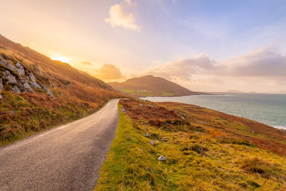
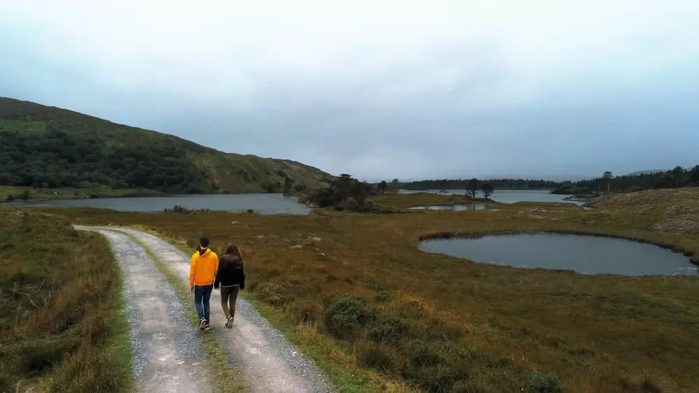
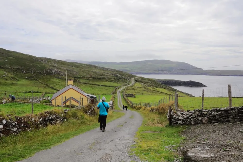
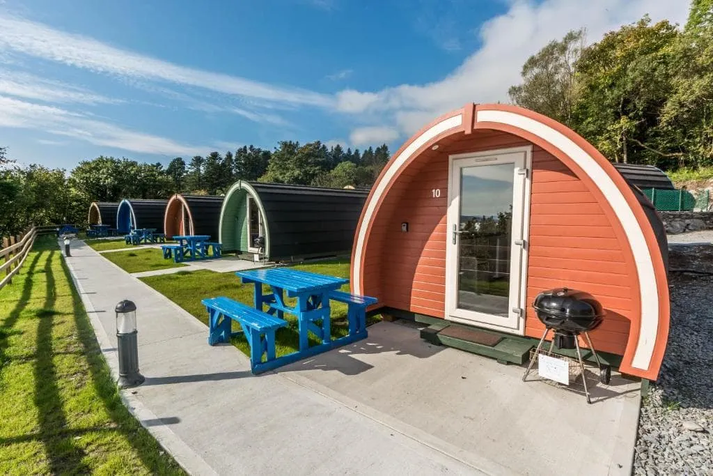
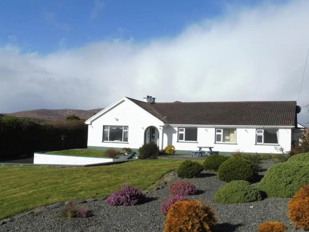
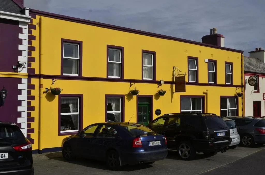
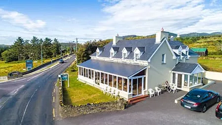
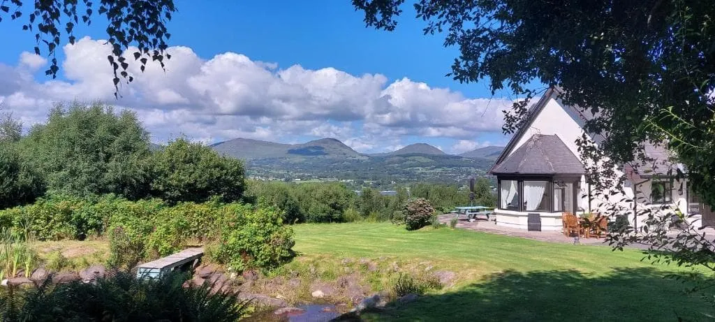
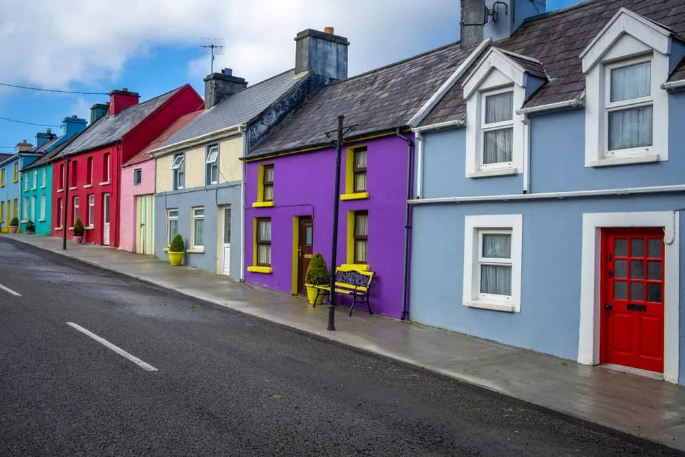
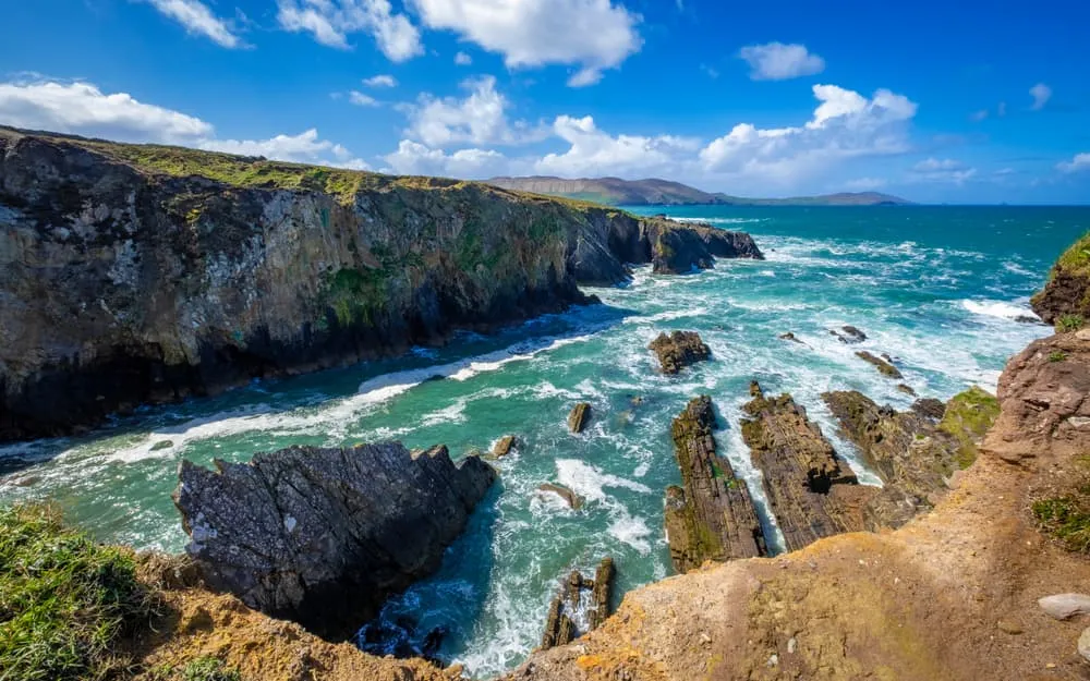
The Beara Way offers a unique opportunity to discover one of Ireland's best-kept secrets. The Beara Peninsula is a 48-kilometre-long mountainous strip of land that extends into the Atlantic Ocean. Its remote location makes it one of the most pristine parts of southwest Ireland. Just like the more northern Kerry Way and Dingle Way, it is a magical world of mountains and lakes, surrounded by a picturesque coastline. The route leads past grandiose archaeological remains of prehistoric inhabitants, in the form of standing stones or tombstones. In this blog post, we have included all you need to know to walk the Beara Way, including the full route, a map, distance, baggage transfer services, accommodations, and more!

Step Into History on the Beara Way

The Beara Way is a 152 kilometre (95 miles) circular walk along the Beara Peninsula, starting and ending in Glengarriff, County Cork. The route leads you through the beautifully rugged mountain and coastal areas in the Counties Kerry and Cork. With additional walks over the islands of Bere Island and Dursey Island, you can extend the route to a total length of more than 200 kilometres. Are you ready for this adventure? Let's go!

There are two explanations for the name Beara. The first is that the name Beara comes from the Kerry dialect word béarach, béara, which refers to "rocks on the coast against which the sea breaks with great force''. A second explanation is a story about a king who was wounded in a lost battle on his peninsula. His followers brought him to a fairy, who healed him, after which the king sailed to Spain to marry his beloved Beara, the daughter of the king of Castile. He then sailed back to the peninsula with a large army, recaptured it, and brought Beara to the highest mountain on the island. He showed her his land and said, "I call it after your name: Beara''. To this day, the peninsula bears her name.

That's the peninsula. But what about the Beara Way, in Gaelic Slí Bhéara? Planning and development started in 1991 with funding from the West Cork County Development Team after a decline in fisheries. The completed trail was opened in June 1996. In 2009, a massive upgrade was undertaken, and these days plans are still underway to make the Beara Way one of the National Long Distance Trails. It’s a hidden gem for those seeking authentic Ireland walking holidays.

Step Into History on the Beara Way

Distance: How Long Is the Beara Way?

The Beara Way is a circular walking route that starts and ends in Glengarriff. The basic trail is 152 kilometres long, which is equal to 95 miles and is divided into 9 stages. Along the way, the route takes you through mountains, valleys, harbours and picturesque villages. You can add some extra kilometres with additional walks over the islands of Bere Island and Dursey Island. With these additional routes, the Beara Way can exceed 200 kilometers in total distance.

Beara Way: Weather and Best Season

You can walk the Beara Way year-round. The most popular season is March to October, May being the most recommended month. What you should know is that the weather conditions are frequently wet and windy, regardless of the season that you choose, so pack the necessary wet/warm weather gear and always have an extra dry pair of shoes to wear at the end of the day. A good rain jacket and overtrousers will be your best allies.

Beara Way Map

Below, you will find a map with the stages of this circular walk, with the starting and ending point in Glengarriff. The map also includes the optional routes across Bere Island and Dursey Island.

The Beara Way: Route From Day to Day

Below you will find a 9-day itinerary of the Beara Way, starting and ending in Glengarriff. This route excludes Bere and Dursey Island, which can be done in two additional days. 

Day
1

Arrival Day

Today you will have to make your way to Glengariff. Here, you will spend the night preparing for your Beara Way adventure.

Casey's Hotel (Glengarriff)

Info
Casey's Hotel (Glengarriff)
Day
2

Glengarriff - Adrigole

Duration: 05:30 h
Distance: 18 km
Ascent: 590 m
Descent: 600 m

This stage leads you away from the sheltered harbour of Glengarriff into the wild interior of the Beara Peninsula. The route builds gradually towards a more rugged mountain landscape, where quiet valleys, scattered lakes and open hills take over. Hungry Hill (685 m), the highest peak on the peninsula, dominates the skyline ahead for much of the day, giving the walk a clear sense of direction and purpose.

The trail begins gently, following quiet roads and tracks out of Glengarriff before turning inland onto narrower countryside paths. As you move deeper into the hills, the terrain becomes wilder, passing Lough Avoul and later the more remote Lough Coomeenatra. A steady climb brings you higher into the mountains, where views open across the peninsula and towards Bantry Bay. The ascent is the key effort of the day, followed by a long descent on rougher paths and tracks.

Approaching Adrigole, the landscape softens again, with green fields and scattered houses appearing as you drop back towards sea level. Hungry Hill Lodge sits just outside the village, with the mountain rising steeply behind it. It is a fitting place to end the day, surrounded by both the calm of the valley and the presence of the highest ground on Beara.

Hungry Hill Lodge and Campsite (Adrigole)

Info
Hungry Hill Lodge and Campsite (Adrigole)
Day
3

Adrigole - Waterfall

Duration: 04:10 h
Distance: 13.8 km
Ascent: 430 m
Descent: 410 m

This stage stays close to the flanks of Hungry Hill (685 m), weaving through a quieter and more intimate part of the Beara Peninsula. It is a day of shifting perspectives, with mountain views giving way to glimpses of Bantry Bay and scattered rural life. The terrain feels less remote than the previous stage, but still carries that wild Atlantic edge, with streams, open hillsides and ever-changing light.

The route climbs steadily from Adrigole into the lower slopes of Hungry Hill, following narrow paths past cascading streams and rough ground. As you gain height, views open over Bantry Bay, with the coastline stretching out below. The trail then undulates along the hillside, crossing small valleys and heather-covered slopes before beginning a gradual descent. The terrain varies between rocky sections, grassy paths and quiet country tracks.

As you descend towards Berehaven, the landscape softens once again, with more signs of habitation and greener surroundings. Near the end, the route passes close to a waterfall, adding a final scenic touch before arrival. Berehaven Pods sit in a peaceful spot, a comfortable place to rest after a varied day of coastal views and mountain trails.

Berehaven Pods (Waterfall)

Info
Berehaven Pods (Waterfall)
Day
4

Waterfall - Castletownbere

Duration: 04:00 h
Distance: 13.5 km
Ascent: 390 m
Descent: 390 m

This stage eases you out of the quiet hills around Berehaven and gradually brings you back towards the coast and village life. It is a gentler day, with rolling terrain, scattered farms and constant glimpses of Bantry Bay. The wild edge softens here, but the landscape keeps its character with stone walls, winding lanes and open views across the peninsula.

The route climbs lightly away from Berehaven Pods, looping through a network of small roads and rural paths. You pass streams, cross the Owgariff River and move through a patchwork of fields and low hills. The trail undulates rather than pushes hard, with occasional viewpoints opening towards Bantry Bay and the surrounding countryside. It is a relaxed walk, where the focus shifts from height to rhythm and scenery.

As you approach Castletownbere, the sea comes back into view and the route settles into quieter roads leading into the village. Fishing boats, harbour life and colourful houses signal your arrival. Island View House sits in a prime spot overlooking the water, a perfect place to unwind and watch the bay as the day comes to a calm finish.

Island View House (Castletownbere)

Info
Island View House (Castletownbere)
Day
5

Castletownbere - Allihies

Duration: 04:40 h
Distance: 14.6 km
Ascent: 510 m
Descent: 470 m

This stage brings you deeper into the wild western edge of the Beara Peninsula, where the landscape feels more remote and shaped by its mining past. The route leads from the harbour atmosphere of Castletownbere into open hills and quiet valleys, with constant views towards the Atlantic. Ahead, the old copper mining area around Allihies gives the day a distinct character, blending rugged nature with traces of history.

Leaving Castletownbere, the trail climbs steadily inland over quiet roads and tracks before reaching more open ground. As you gain height, wide views unfold over Bantry Bay and towards the Atlantic coastline. The route then crosses rolling hills and passes near Knockgour Pass, with a mix of grassy paths and rougher sections. Further on, the landscape becomes more exposed, with old mining features and viewpoints towards Dursey Island appearing along the way.

Approaching Allihies, the Atlantic comes fully into view and the colourful village appears below, set between hills and sea. The final descent leads you into this historic mining settlement, where Sea View B&B offers a welcoming end to the day. It is a place to unwind, with the ocean close by and the feeling of having reached one of the most characterful corners of Beara.

Sea View B&B (Allihies)

Info
Sea View B&B (Allihies)
Day
6

Allihies - Eyeries

Duration: 03:50 h
Distance: 13 km
Ascent: 400 m
Descent: 400 m

This stage follows the raw Atlantic edge of the Beara Peninsula, linking the colourful village of Allihies with the coastal charm of Eyeries. It is a day of sea views, rolling hills and constant exposure to wind and ocean. The route keeps shifting between inland tracks and open coastal stretches, with the Atlantic never far away and the horizon wide and empty.

Leaving Allihies, the trail climbs gently above the village, opening up views over the coastline and the rugged cliffs nearby. The path then rolls through quiet hills with steady ups and downs, passing viewpoints over Bantry Bay and towards the distant coastline. At times the route turns inland across narrow roads and tracks, before returning again to more open ground where the sea reappears, always shifting in colour and mood.

As you approach Eyeries, the landscape softens slightly and the houses begin to appear, scattered across the hills above the coast. The village stands out with its bright colours against the green slopes and blue sea. Coulagh Bay House sits in a peaceful spot near the water, a perfect place to land after a day shaped by wind, views and the rhythm of the Atlantic.

Coulagh Bay House (Eyeries)

Info
Coulagh Bay House (Eyeries)
Day
7

Eyeries - Ardgroom

Duration: 03:45 h
Distance: 14 km
Ascent: 180 m
Descent: 190 m

This stage stays close to the Atlantic, linking Eyeries with Ardgroom along a softer but still windswept stretch of the Beara Peninsula. It is a gentler day in terms of climbing, yet full of coastal character, with wide views over Kenmare Bay and a constant sense of space. The route mixes quiet roads, coastal paths and open ground, with the sea never far from sight.

Leaving Eyeries, the trail rolls easily through open countryside, with low hills and wide views stretching out towards the water. The path then drifts between inland tracks and sections closer to the coast, passing small viewpoints and quiet corners that look out over the bay. Further on, the route nears Ardgroom, where traces of ancient history appear, including the Ardgroom Stone Circle set in the landscape above the village.

As you descend towards Ardgroom, the terrain becomes even more relaxed, with green fields, scattered houses and calm coastal scenery taking over. The village sits quietly along the shore, with views across the bay and a slower rhythm after the exposed sections earlier in the day. Sea Villa offers a peaceful place to arrive, right by the water, where you can unwind and watch the light shift across the bay.

Sea Villa (Ardgroom)

Info
Sea Villa (Ardgroom)
Day
8

Ardgroom - Lauragh

Duration: 04:30 h
Distance: 16.3 km
Ascent: 260 m
Descent: 280 m

This stage moves inland from the coast, linking Ardgroom with Lauragh through a quieter, more sheltered side of the Beara Peninsula. The Atlantic slowly fades into the background as rolling hills, farmland and wooded valleys take over. It is a varied day with gentle climbs, a few steeper moments and a constant shift between open views and more enclosed green landscapes.

Leaving Ardgroom, the route follows easy paths and quiet roads along the edge of Kenmare Bay before turning inland. The trail gradually climbs over low hills, passing the Ardgroom Stone Circle and later the Shronbearnagh Stone Circle, both reminders of the area's ancient past. Further on, the route undulates through farmland and small tracks, with a couple of short but steeper climbs before easing again towards the valley.

Approaching Lauragh, the landscape becomes greener and more enclosed, with trees, streams and scattered houses appearing more frequently. The route settles into a calmer rhythm as it descends towards the village, surrounded by hills and water. Mountain View B&B offers a relaxed and welcoming place to end the day, tucked into this peaceful corner of Beara.

Mountain View B&B (Lauragh)

Info
Mountain View B&B (Lauragh)
Day
9

Lauragh - Killaha East

Duration: 06:46 h
Distance: 21.9 km
Ascent: 770 m
Descent: 720 m

This is one of the more demanding days on the Beara Way, heading inland from Lauragh into a wilder and more mountainous landscape before easing back towards quieter valleys near Killaha. The stage combines long climbs, remote valleys and wide open views, with a real sense of space throughout. It feels more rugged and less coastal, with the terrain constantly shifting between forest, open hills and exposed ridgelines.

Leaving Lauragh, the route climbs steadily through woodland and along quiet tracks before opening into the Gleninchiquin Valley, where waterfalls and wide mountain views steal the show. A longer ascent follows towards the Saddle of Derrysallagh, the highest point of the day, where the landscape turns more open and windswept. From here, a gradual descent leads across rolling hills and quieter tracks, with views stretching back over the valley you have just crossed.

As you continue, the terrain softens again, with farmland and scattered houses appearing as you approach Killaha. The final kilometres feel calmer, with gentle paths guiding you through a more lived-in landscape. Misty Bay sits in a peaceful spot, offering a quiet and comfortable end to a long, varied day in the hills.

Misty Bay (Killaha East)

Info
Misty Bay (Killaha East)
Day
10

Killaha East - Gearha

Duration: 03:20 h
Distance: 12.5 km
Ascent: 100 m
Descent: 110 m

This stage offers a gentler transition after the previous mountain effort, guiding you from Killaha East towards Gearha through rolling countryside and quiet inland terrain. The rugged peaks fade into the background, replaced by softer hills, farmland and a calmer rhythm. It is a day to recover a bit, while still enjoying wide views and the peaceful character of this inland corner of Beara.

Leaving Misty Bay, the route follows quiet lanes and easy tracks, gradually moving through open fields and low hills. The trail passes near the Bonane Stone Circle and the nearby sculpture garden, adding a cultural touch to the landscape. Along the way, gentle undulations replace steep climbs, and the scenery alternates between small roads, farmland and patches of woodland, with occasional views back towards the surrounding hills.

As you approach Gearha, the terrain becomes even more relaxed, with scattered houses and a more lived-in feel. The route eases into a calm finish, far from the exposed ridges of earlier stages. The Ford sits in a quiet rural setting, offering a comfortable and peaceful end to the day, where you can slow down and enjoy the softer side of the Beara Way.

The Ford (Gearha)

Info
The Ford (Gearha)
The Ford (Gearha)
Day
11

Gearha - Glengarriff

Duration: 04:00 h
Distance: 13.2 km
Ascent: 370 m
Descent: 420 m

This final stretch brings you back to the coast, linking the quiet inland setting of Gearha with the lively harbour village of Glengarriff. It is a varied day, starting among hills and farmland before gradually opening towards sea views and the wider landscape around Bantry Bay. The contrast between inland calm and coastal energy gives this stage a satisfying sense of return.

Leaving The Ford, the route climbs gently through rolling countryside, passing scattered houses and green slopes. The path then rises more steadily towards a broad high point, where views open over the surrounding hills and towards Glengarriff Nature Reserve. From here, a long descent begins, winding down through woodland and along the Glengarriff River, with the scenery becoming greener and more enclosed as you approach the coast.

As you reach Glengarriff, the landscape opens again, with the harbour, islands and wide waters of Bantry Bay coming into view. The village feels lively after the quieter inland sections, with a mix of nature and coastal charm. Casey’s Hotel sits right in the heart of it all, a perfect place to arrive, relax and reflect on the journey across the Beara Peninsula.

Casey's Hotel (Glengarriff)

Info
Casey's Hotel (Glengarriff)
Day
12

Departure Day

After breakfast, our services and your Beara Way adventure will be over. Have a safe trip back home!

Possible Extra Stops

From Castletownbere, you can plan an extra day to visit Bere Island. A short ferry ride across the sheltered harbour takes you to Bere Island, where hikers are spoiled with trails varying in length and difficulty. On Bere Island, you can enjoy some of the highlights of the Beara Way. From locations with a rich military heritage from different eras to views of the spectacular scenery of the Slieve Miskish and Caha mountains on the mainland.

From Allihies, you can schedule an extra day to visit Dursey Island. A ride on Ireland's only cable car takes you across Dursey Island. With only 6 permanent residents, little motorized traffic and a wealth of wildlife, Dursey Island is a walker's paradise.

Beara Way Accommodation

On the Beara Way, you can either spend the night in a cozy hotel or in a typical Irish B&B, where you will receive a warm welcome and, when available, a hearty Irish breakfast.. There are also campsites along the path. Wild camping is also possible along the Beara Way. In case you prefer this, please keep in mind to place your tent sheltered. The wind can change in a few hours from calm to strong. Ask for drinking water at the houses, water from the streams is unreliable due to the many sheep that are drinking from it.

Beara Way Accommodation

Luggage Transport on the Beara Way

The Beara Way is a popular trek that attracts thousands of hikers each year. Thanks to this popularity, there is always a possibility to have your luggage transported. Each morning, your suitcase will be picked up from your hotel and delivered to your next accommodation by the end of the day. Quite convenient, isn't it?

Walking the Beara Way: Starting and Ending Points

The Beara Way begins and ends in Glengarriff. Since it is a circular route, the trail can be walked in both ways. Glengarriff is reachable by public transport.

Starting point

To get to Glengarriff, you first have to travel to Dublin. From there, you can take the train or bus to Glengarriff. You can also drive to Glengarriff by car. Glengarriff is a tourist town. Here you can find a bamboo park, Glengarriff Nature Reserve and Sugarloaf Mountain

Ending point

Since the Beara Way is a circular walk, the route also ends in Glengarriff. You can travel back to Dublin by train or bus. In case you came by car, you can pick it up where you left it.

Walking the Beara Way: Starting and Ending Points

Packing List for the Beara Way

No matter where you go hiking or for how long, bringing the right equipment is of utmost importance. For your hike, the first thing you need is a good backpack. The size of it will depend on the number of days you will be trekking, the season and the clothes you take with you. If you have luggage transport, the comfort level of your daypack is most important. We have compiled a packing list with a few essential items of clothing you should bring and some extras you might find useful:
  • Essentials

  • Extras

Safety tips for the Beara Way

Although this is far from being a trek in the Himalayas, unexpected things can always happen and you might also find obstacles on the hiking trails along the way. The Beara Way is safe, the trails are quite straight forward and there is not an extreme difference in altitude. However, for your safety, every hike deserves a level of respect; respect for the terrain, the trails, wildlife and vegetation, local rules and regulations, and above all, your physical capabilities and safety. Therefore, for an unforgettable and safe hiking memory, please keep the following safety recommendations in mind:

  • Know your limits

    Always prepare each stage carefully to use your energy wisely, respect your physical and mental limitations, and avoid taking unnecessary risks. When ascending or descending, if applicable, always use the aids provided, such as handrails and ropes. Is this trek suitable for you? Well, familiarize yourself with the grading system and figure out if this trek matches your capabilities. If you still need professional advice you can always contact Bookatrekking.com experts.

  • Stay on marked trails

    The most important thing is to never leave the marked paths. For easy navigation we work with our trusted partner Komoot, whose interactive maps, also available offline, provide you with the necessary digital means to get from A to B in the Beara Way. As a backup, make sure to bring a hiking guide or a paper map with you.

  • Fully equipped

    Make sure you have the necessary gear for the conditions you'll be facing, including appropriate clothing, footwear, and any necessary equipment for the terrain you'll be hiking on. Always wear clothing adapted to the weather of Beara Way and protect yourself from cold and wetness or heat and sun. Besides, make sure you carry enough food and water for the duration of your trek. On the way, you might (or might not) be able to buy snacks.

  • Stay reachable

    If you are hiking solo or in small groups it is advisable to inform people back home about your plans, what route you are taking and when you plan to return. Even small incidents can lead to unpleasant emergencies so make sure you are available at all times. Bring a charged phone containing at least the phone numbers of immediate family members, your accommodations en route and the emergency phone numbers operating in the Beara Way.

  • Respect for nature

    Do not litter, prevent noise, stay on the marked trails, do not disturb wildlife or grazing animals, and respect protected areas.

Where Can I Book the Beara Way?

At Bookatrekking.com you can book the self-guided Beara Way and many other treks. We take care of all the details for you, including arranging accommodations, organizing luggage transportation and providing you with relevant information well in advance of your trek. Find our offers here. Our easy-to-use platform allows you to browse and compare different trekking options and find the perfect fit for your interests, abilities, and budget.

If you have any questions about a specific trek or need help choosing the right one for you, our team of trekking experts is here to assist you. Simply reach out to us and we will be happy to provide you with personalized recommendations and advice to help you plan the trekking adventure of a lifetime.

About Us

At Bookatrekking.com, you will find the trek that will make your life unforgettable. Whether you want to explore the Inca Trail or climb Kilimanjaro. Bookatrekking.com has a wide and varied range of first-class treks. No false promises are made here. Transparent prices and bookings are fixed instantly. Find, compare, book and trek!
Read more about us
About Us
About Us

Also Interesting