The Malerweg: all 8 stages, map and where to stay

Sierd van der Bij
Sierd van der Bij
Sierd van der Bij
20 Sep 2026 • 13 min read
The Malerweg: all 8 stages, map and where to stay
Trekking experts per destination
Free cancellation up to eight weeks in advance
Quick personal advice

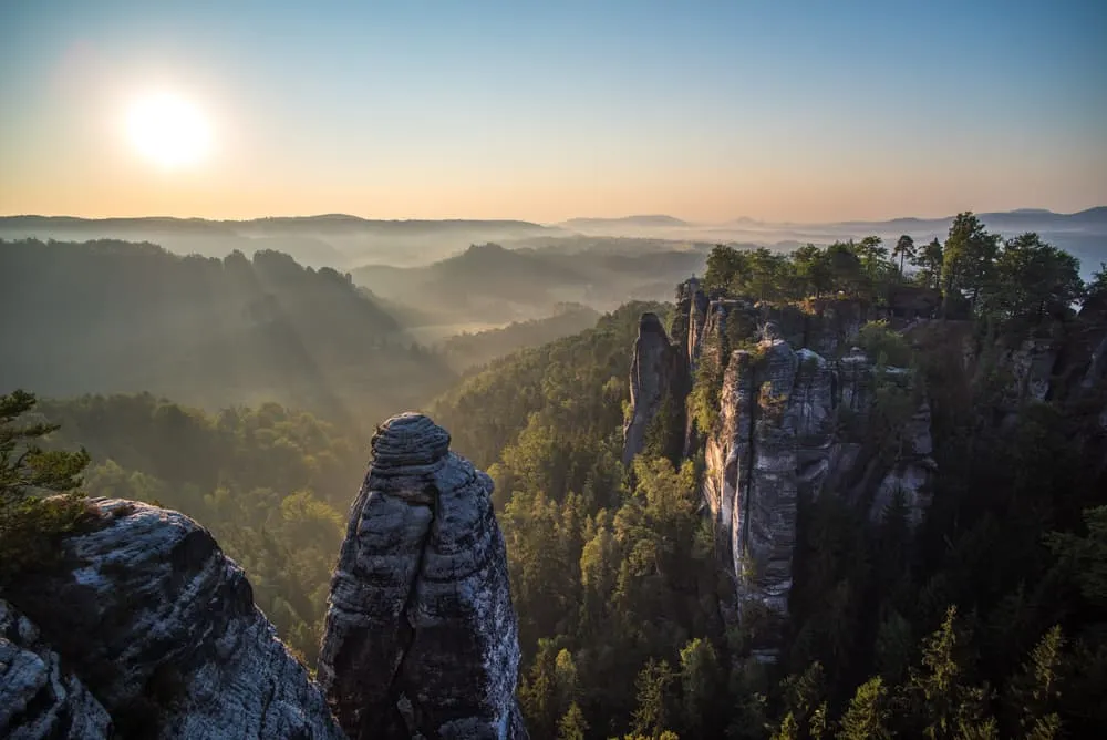
The Malerweg is a long-distance hiking trail in Saxon Switzerland, in the far east of Germany close to Dresden and right on the Czech border. It winds for 116 kilometres through the Elbe Sandstone Mountains, the dramatic landscape of sandstone cliffs, forested gorges and flat-topped mesa mountains that inspired a generation of Romantic painters and gave the route its name: the Painters' Way.

This guide covers everything you need to plan the Malerweg trail, whether you want to walk all eight stages from start to finish or pick the most rewarding section for a long weekend. At Bookatrekking we take care of your accommodation at each overnight stop and organise luggage transfer between them, and our app gives you offline navigation, GPX tracks and the current weather forecast per hut so you can leave the paperwork at home. If you already know you want the complete loop, head straight to the Full Malerweg.


What Is the Malerweg Trail and Where Is It?

The Malerweg trail is an 8-stage long-distance hiking route through Saxon Switzerland National Park in the German state of Saxony. It runs along the banks of the River Elbe, roughly 30 kilometres southeast of Dresden, and follows the border with the Czech Republic for much of its length.

For anyone coming to this page without a map of eastern Germany in their head: Saxon Switzerland is not Switzerland. It sits in the far corner of Germany where the country meets Czechia, and the same sandstone range continues across the border as Bohemian Switzerland. The two national parks share the same geology, the same rock formations, and some of the same hiking paths.

The Malerweg trail, known in English as the Painters' Way, takes a roughly horseshoe-shaped course rather than a true out-and-back. From the starting trailhead near Pirna you head east along the north bank of the Elbe, cross the river by ferry at Schmilka, then return westward along the south bank, finishing close to where you began. The total distance is 116 kilometres and the trail is consistently well marked with its own trail symbol throughout.

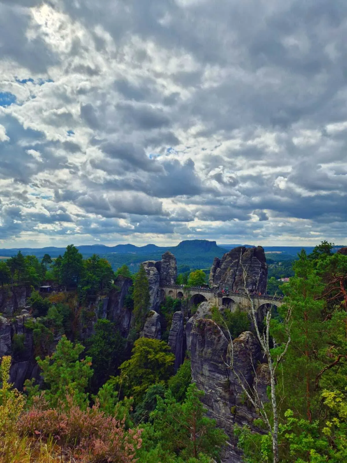
This is not an alpine route. There are no glaciers, no high-altitude passes and no mountain huts in the Alpine sense. What you get instead is a landscape unlike anything most British or North American hikers have walked before: ancient sandstone pillars, narrow rock gateways, deep forest ravines and wide views across the Elbe valley. Anyone who has seen a photo of the Bastei Bridge and wondered where it was, this is exactly where.

The trail is suitable for walkers who want a multi-day experience without technical mountaineering skills and without the altitude of the Alps. A normal level of hiking fitness and sturdy footwear are the main requirements.


Malerweg Trail Map: Route, Distance and Elevation Gain

The Malerweg trail starts and ends near the town of Pirna, on the River Elbe in Saxony. The official starting trailhead is at Liebethaler Grund, a short bus ride from Pirna's train station, and the route returns to Pirna at its conclusion. The total distance is 116 kilometres across eight stages.

The shape of the route matters for planning. The trail is essentially a large horseshoe: you walk eastward along the north bank of the Elbe through the heart of the national park, cross the river by a short ferry crossing at Schmilka near the Czech border, then head back westward along the south bank toward Pirna. This means the start and end points are not in exactly the same spot, but they are close enough that returning to your departure point is straightforward by public transport.

The cumulative elevation gain over the full route is in the region of 3,500 to 4,500 metres. That figure is deceptive for a trail that never climbs above 556 metres at its highest point (the Großer Winterberg). The Malerweg gains and loses height constantly, descending from rocky plateaus to river valleys and climbing back up again, so the total effort is considerably greater than the modest maximum altitude suggests.

Trail marking on the Malerweg is reliable and uses a distinctive symbol throughout. For navigation, the Bookatrekking app includes offline maps and downloadable GPX tracks for each stage, along with the current weather forecast based on the coordinates of each overnight stop. A paper map is a sensible backup, but you will not need to navigate by landmarks alone.


What Is the Malerweg Trail and Where Is It?

Did you know that we can book all overnight accommodation for the Malerweg for you? Check out all our options here.

Why Is It Called the Malerweg? The Painters of the Elbe Sandstone Mountains

The name Malerweg translates directly as "painters' path," and that name is not decorative. In the eighteenth and nineteenth centuries Saxon Switzerland became one of the first destinations in Europe where artists travelled specifically to be moved by a landscape.

The Romantic painters who walked these paths included Caspar David Friedrich, whose moody, figure-in-landscape compositions became defining images of German Romanticism; Bernardo Bellotto, known as Canaletto, who documented the region in luminous detail; Adrian Ludwig Richter, whose illustrations of Saxon Switzerland reached a mass audience; and Robert Sterl, whose work is now housed in the Robert-Sterl-Haus museum near Pirna on the final stage of the route. The sandstone formations, the mist rising from the gorges, the wide valley panoramas and the forested plateaus that appear in their paintings are still there, unchanged in their essentials, and the modern Malerweg follows the paths that led those artists to their favourite viewpoints.

Walking the Malerweg trail is, in a literal sense, tracing the creative geography of German Romanticism. That gives the hike a layer of meaning that a purely natural landscape route does not have.

If the combination of hiking and cultural depth appeals to you, the Rheinsteig Trail: Hike & Wine in The Heart of Germany offers a similarly rich experience in a very different German landscape.


How Difficult Is the Malerweg? Ladders, Stairs and Fitness

The Malerweg trail is not a technically difficult route in the alpine sense. There is no glacier travel, no fixed rope climbing and no altitude above 556 metres. What it does require is a solid base of hiking fitness, particularly in the legs and knees, because the trail gains and loses height constantly through staircases, iron ladders and steep rocky paths rather than long sustained climbs.

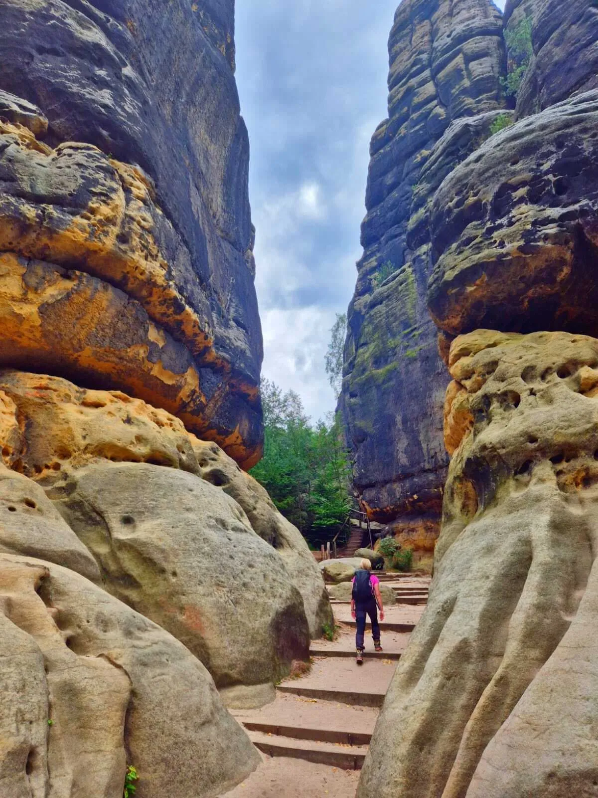
The distinctive physical challenge of the Malerweg comes from its terrain. The sandstone landscape has been shaped by erosion into tight gorges, sheer rock faces and narrow passages, and the trail navigates these by means of steps cut directly into the rock, metal staircases bolted to cliff faces, iron ladders, and carved handholds in the stone. Stage 3 alone descends more than 800 steps through the Tiefen Grund section. Stage 4 climbs through the Schrammsteine on iron ladders. These passages are not exposed in the alpine sense, but they require concentration, particularly when the rock is wet.

For a reader accustomed to Alpine hiking, the comparison is this: the Malerweg is easier in terms of altitude and weather exposure, but the cumulative elevation across eight days, achieved through dozens of short sharp climbs rather than one long ascent, can be more tiring per kilometre than the distance suggests. It is a trail that rewards patience and a reasonable pace rather than speed.

Sturdy, ankle-supporting hiking boots are essential. A daypack, a waterproof layer and sufficient water for each stage are the standard kit requirements. No special equipment or climbing gear is needed; the ladders and staircases are accessible to any capable hiker.


Saxon Switzerland National Park: Rules and Protection

The Malerweg runs largely through and alongside Saxon Switzerland National Park, and the rules that apply here are stricter than in most walking areas English-speaking hikers are accustomed to. The key points: stay on the marked trails at all times, do not camp in the wild, and do not light fires anywhere in the park.

These are not advisory guidelines. The national park enforces them actively. The sandstone formations are highly erosion-sensitive, and the roots of the trees that anchor the rock faces are easily damaged by foot traffic off the path. Many of the cliff faces host breeding birds of prey, including peregrine falcons, and leaving the marked routes during the nesting season can trigger significant fines.

The national park is divided into core zones and buffer zones. In the core zones, the marked paths are the only legal access. Drones are prohibited throughout the park. Wild camping, including the use of bivouac equipment outside designated areas, is not permitted.

These rules exist because Saxon Switzerland is one of the last intact sandstone landscapes in central Europe, and because the combination of heavy visitor numbers and fragile geology creates genuine pressure on the ecosystem. Walking the marked Malerweg trail is the way to see this landscape at its best while leaving it intact for the hikers who follow.

For day trips in the surrounding region, the Czech border crossing at Schmilka, and multi-day options beyond the Malerweg, see our guide to Hiking in Saxon Switzerland: rocks, stairways and multi-day tours.


How Difficult Is the Malerweg? Ladders, Stairs and Fitness

When Is the Best Time to Hike the Malerweg?

The best times to hike the Malerweg are late spring (May to early June) and early autumn (September to early October), when the weather is reliable, the trail is accessible, and the most popular viewpoints are at their most manageable.

Early spring (March to April): The trail is quieter than at any other time and the waterfalls and streams in the gorges are at their most vigorous. Some accommodation options along more remote stages may still be closed or operating limited hours, so checking availability before booking is advisable. April can be wetter than average in this region.

Late spring and early summer (May to mid-June): The optimal window for most hikers. Days are long, all facilities along the route are open, and the sandstone landscape is at its greenest. Accommodation fills quickly, particularly at weekends in May when German public holidays cluster together.

High summer (July and August): Temperatures in the Elbe valley are warm to hot, which is manageable on forested stages but tiring on the exposed plateau sections. The Bastei in particular draws large numbers of day visitors on summer weekends, and the narrower rock passages can become congested around midday. Starting early in the morning makes the iconic viewpoints significantly more enjoyable.

Early autumn (September to October): The second recommended window, and for many hikers the preferred one. Crowd levels drop after the school holidays end, the beech forests turn amber and copper, and the light on the sandstone in the low autumn sun is exceptional. Daylight hours shorten noticeably by October, which means afternoon timing for the longer stages requires planning.

Late autumn and winter (November to March): The trail can be walked in winter and does not close, but the sandstone stairs and iron ladders become genuinely hazardous when wet or icy. The shorter days limit how much ground can be covered safely on the demanding middle stages. If you want to visit outside peak season, the shorter Malerweg With the Bastei Bridge for a Weekend package concentrates the best of the route into fewer days.

For the current weather forecast at each overnight stop on your specific itinerary, the Bookatrekking app shows conditions based on the coordinates of each accommodation, updated in real time.


Malerweg: Map

The map below outlines the Malerweg route. Further on in the blog post, you will find a detailed description of each stage.

Not sure yet or want to discuss your plans for the Malerweg with one of our trekking experts? Get in touch today and turn your dreams into memories!

Malerweg: Day.to-Day Route

The entire Malerweg is divided into 8 stages. The first stage starts just outside Pirna, across the Elbe, in the village of Liebethal. While the route can be completed faster, we highly recommend taking 8 days to fully enjoy your Malerweg hiking experience. The daily distances range between 10 and 20 kilometers, with no more than 500 meters of elevation gain per day. Of course, some stages are a little more challenging than others.

Day
1

Arrival in Pirna

Today you arrive in Pirna. After a long journey, take some time to relax at your hotel and prepare for the adventure ahead.

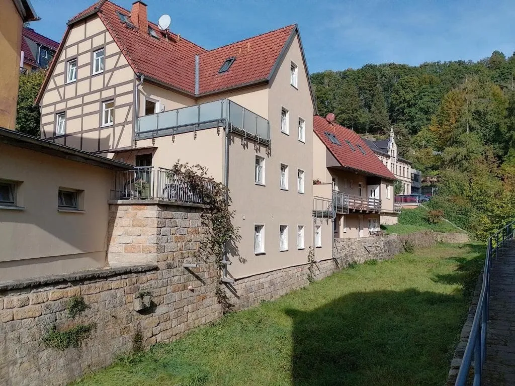
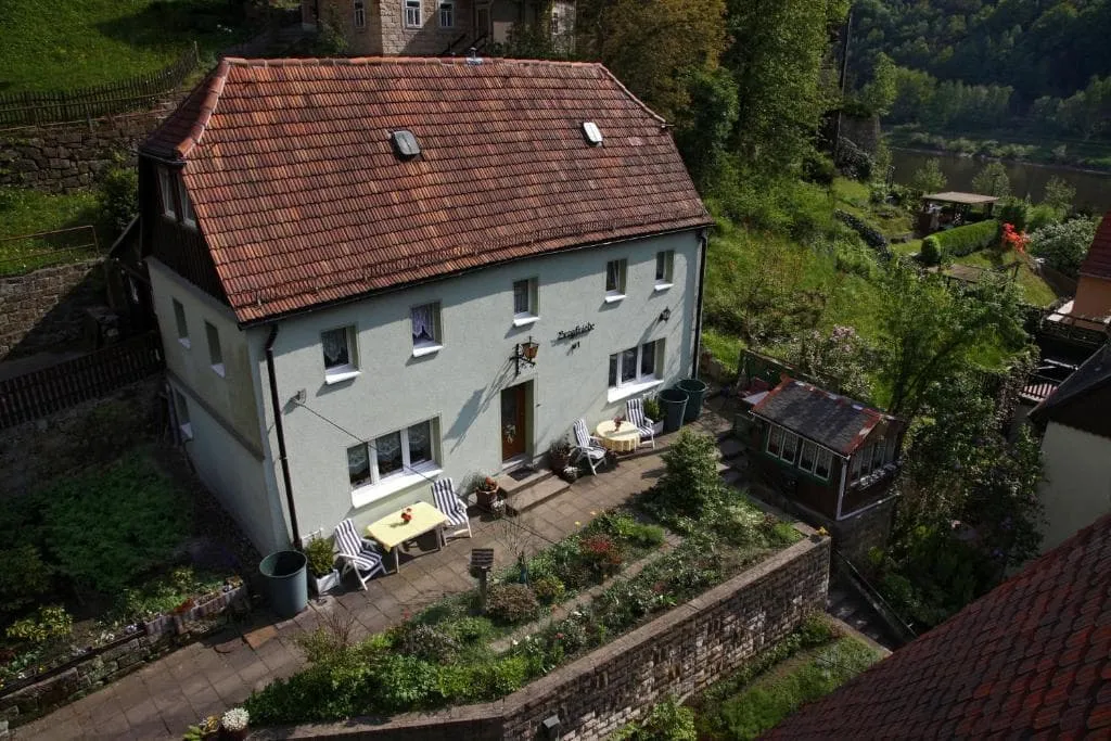
Laurichhof (Pirna)

Info
Laurichhof (Pirna)
Laurichhof (Pirna)
Day
2

Pirna-Liebethal to Stadt Wehlen/Kurort Rathen

Duration: 03:25 h
Distance: 12.5 km
Ascent: 150 m
Descent: 190 m

To reach the starting point of the hike in Pirna-Liebethal, take bus G/L from Pirna Schillerstraße to Liebethaler Grund. From the bus stop, continue on foot to the entrance of the romantic Liebethaler Grund, where the hike begins. You can check the current timetables at www.rvsoe.de. Alternatively, you can choose to hike this section as well, which will add approximately 1.5 hours to your day.

From there, the path follows the Wesenitz and passes the monumental Richard Wagner monument (designed by Richard Guhr, 1933) and the remains of the former Lochmühle. You then continue through Uttewalder Grund, famous for its stunning rock gate. From there, the path winds through rocky terrain. Along the way, you’ll pass the remains of one of the oldest castles in the region. The Malerweg then runs along the Elbe to mark the end of this first day.

Bed & Breakfast Wehlen (Stadt Wehlen)

Info
Bed & Breakfast Wehlen (Stadt Wehlen)
Day
3

Stadt Wehlen to Hohnstein (Alternative due to storm damage)

Duration: 03:15 h
Distance: 10.8 km
Ascent: 370 m
Descent: 200 m

This alternative route leads from Stadt Wehlen to Hohnstein and is intended for use if the closures around Rathen are still in place after the storm damage from early August 2026. It is a varied stage of 11.1 km, with forest paths, hillside sections and a steady climb away from the Elbe. The ascent is spread across the route, with a few steeper sections, but the profile remains manageable.

From Stadt Wehlen, the route first heads above the Elbe and climbs through wooded terrain towards higher ground. The path then continues north and east, staying away from the affected area around Rathen. Along the way you pass a mix of quiet forest tracks, hillside paths and open sections, with several viewpoints marked near the route. After the main climb, the profile becomes more rolling before the final approach.

The last part brings you towards Hohnstein, passing through the surrounding forest and near the castle area before reaching the end point. Once in Hohnstein, head to your accommodation.

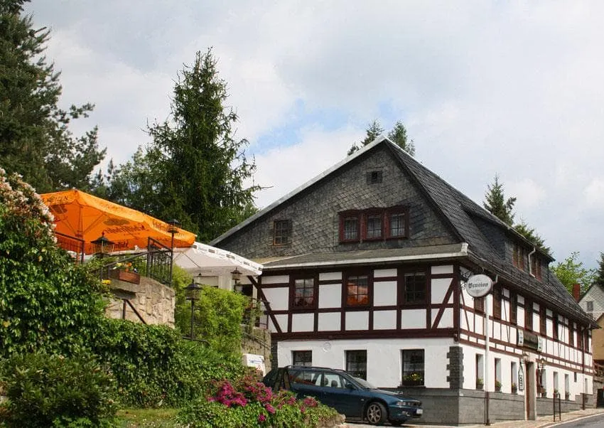
Meschkes Gasthaus Pension (Hohnstein)

Info
Meschkes Gasthaus Pension (Hohnstein)
Day
4

Hohnstein to Altendorf (Alternative due to storm damage)

Duration: 06:00 h
Distance: 20 km
Ascent: 550 m
Descent: 680 m

This alternative route from Hohnstein to Altendorf is useful if the closures around Rathen are still in place after the storm damage from early August 2026. The route has been slightly modified; you will come across the detour around the area closer to Goßdorf.

This hiking day starts on a forest path and passes the Brandaussicht. On this "Balcony of Saxon Switzerland", 170 meters above the Polenztal, you have a fantastic panoramic view. Then you descend more than 800 stair steps to the "den Tiefen Grund". In the last part of today, you can enjoy the view of the Schrammsteine.

Ostrauer Mühle (Altendorf)

Info
Ostrauer Mühle (Altendorf)
Day
5

Altendorf/ Bad Schandau to Neumannmühle/Lichtenhain/Ottendorf

Duration: 04:47 h
Distance: 16.2 km
Ascent: 450 m
Descent: 410 m

Today is a slightly longer hiking day. You will walk down through the Dorfbachklamm into the Kirnitzsch valley. The path then ascends into the Schrammsteine, an elongated, sharply divided rock group. The Jägersteig ascent leads you via iron ladders to the Schrammsteingratweg where you can enjoy a spectacular view of the Schrammstein. You then pass Lichtenhainer Wasserfall and walk to the impressive Kuhstall rock cave.

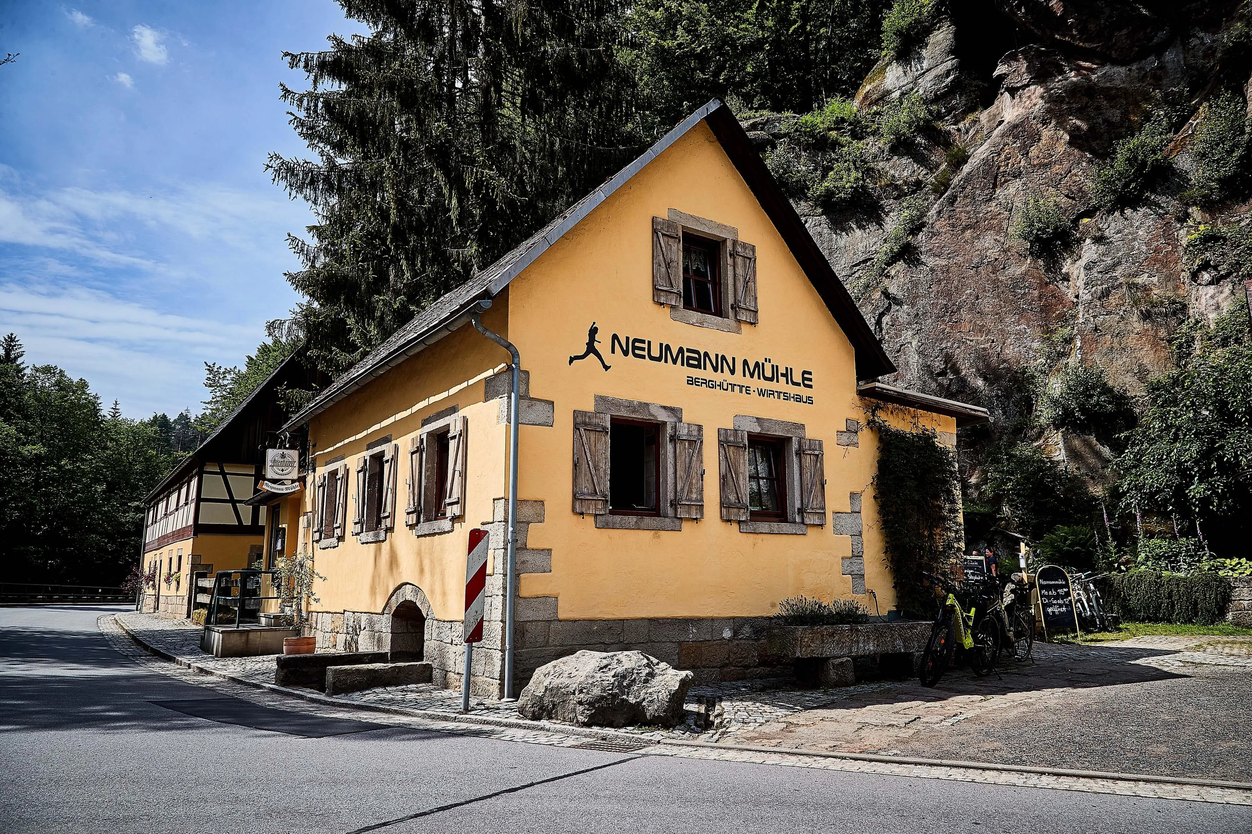
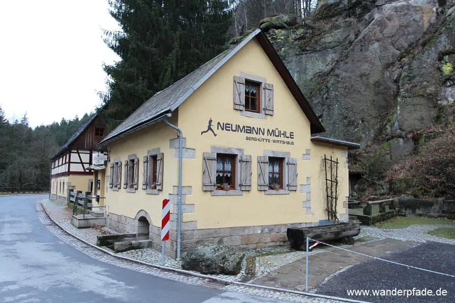
Neumannmühle Berghütte UG (Neumannmühle)

Info
Neumannmühle Berghütte UG (Neumannmühle)
Day
6

Neumannmühle/Lichtenhain/Ottendorf to Schmilka/Hrensko

Duration: 04:27 h
Distance: 13.6 km
Ascent: 510 m
Descent: 590 m
You start this day in the Kirnitzschtal. The trail leads you past the archaeological remains of a medieval rock castle. A natural, steep path then leads you to the Großer Pohlshorn. You walk through the old silver fir stables to the Zeughaus, an old arsenal. From here you start ascending, to the top of Großer Winterberg. This 556-meter high mountain was created by basaltic erosion through the plateau of the Elbe Sandstone Mountains and is the second-highest mountain in Saxon Switzerland. The hiking day ends in Schmilka, where you can visit the Schmilka water mill. The mill was reconstructed in 2007 and is now fully functional again.

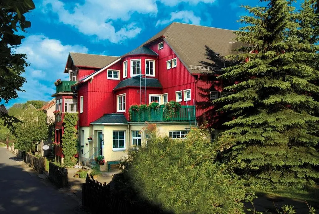
Haus Bergfriede (Schmilka)

Info
Haus Bergfriede (Schmilka)
Day
7

Schmilka/Hrensko to Kurort Gohrisch/Königstein

Duration: 05:00 h
Distance: 17.7 km
Ascent: 420 m
Descent: 280 m
Today you start on the ferry to get to the S-Bahn stop Schmilka-Hirschmühle. From here you will walk through small villages until you reach Reinhardtsdorf, where you will find a beautiful village church decorated in a rustic baroque style. Then you ascend to Papststein. From here you descend again to another so-called table mountain: the Gohrisch.

Pension Villa Irene (Kurort Gohrisch)

Info
Pension Villa Irene (Kurort Gohrisch)
Day
8

Kurort Gohrisch/Königstein nach Weißig

Duration: 05:25 h
Distance: 17.6 km
Ascent: 550 m
Descent: 610 m
Today you hike to Pfaffendorf. Via the ravine path, you walk down to the Quirl. You will pass Königstein, a fascinating rock building. You will walk past the town church and to the foot of the fortress of Königstein. For a visit to the fortress, you should plan an extra 2 hours.

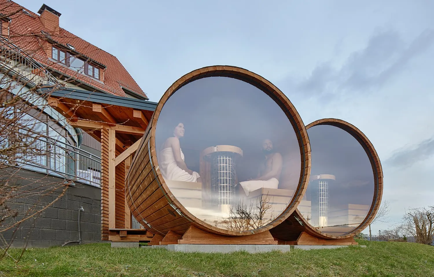
Hotel Bei Gretel, Wellness & Ayurveda (Weißig)

Info
Hotel Bei Gretel, Wellness & Ayurveda (Weißig)
Day
9

Weißig to Pirna

Duration: 03:30 h
Distance: 12.9 km
Ascent: 180 m
Descent: 260 m
Today you hike along the ridge to Naundorf, where the Robert-Sterl-Haus is located, the most important art museum in Saxon Switzerland. The trail continues along the high banks of former stone quarries to the Königsnase. You follow the path until you reach the historic town center of Pirna.

Laurichhof (Pirna)

Info
Laurichhof (Pirna)
Laurichhof (Pirna)
Day
10

Departure

After breakfast, the program is over. We hope to see you again soon in Saxon Switzerland and wish you a pleasant journey back home!

The 8 Stages of the Malerweg — and Where to Stay

This is the core of planning any Malerweg hike. The eight stages vary considerably in length, character and difficulty, and knowing what to expect on each day lets you decide which package fits your time and fitness.

Stage 1: Pirna-Liebethal to Stadt Wehlen / Kurort Rathen Distance: 15.7 km | Elevation gain: +180 m

The opening stage is the gentlest of the eight, and that is by design. The trail begins in the peaceful Liebethaler Grund, follows the Wesenitz river through shaded woodland, passes the Richard Wagner monument and winds through the dramatic rock gateway of Uttewalder Grund. The day ends on the Elbe at Stadt Wehlen or Kurort Rathen. The modest elevation gain gives a misleading impression of what follows; treat this as an acclimatisation day.

Stage 2: Stadt Wehlen / Kurort Rathen to Hohnstein Distance: 11.5 km | Elevation gain: +450 m

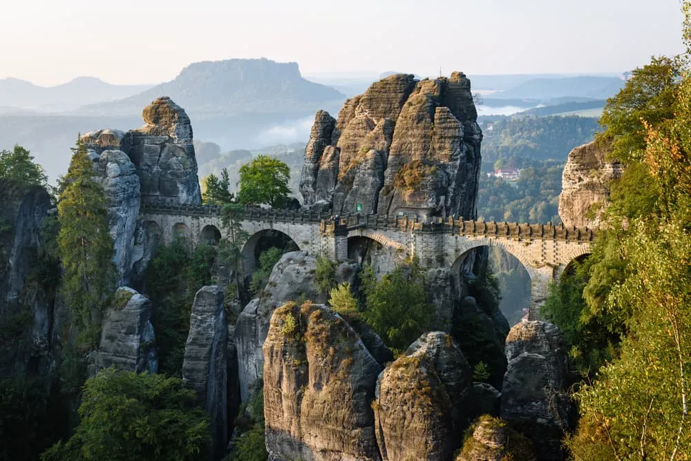
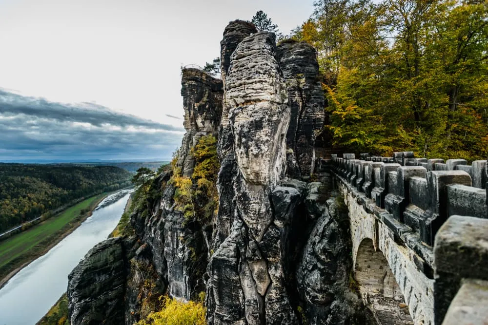
The second stage is where the Malerweg reveals itself. The climb via the Schwarzbergweg brings you to the Bastei, the most photographed viewpoint in Saxon Switzerland and one of the most dramatic rock formations in Germany. The Bastei Bridge spans a gap between sandstone pinnacles above a 194-metre drop to the Elbe below. After descending by a staircase cut into the rock, the trail continues through the Rathen rock plateau to the historic town of Hohnstein with its castle.

Stage 3: Hohnstein to Altendorf / Bad Schandau Distance: 18.8 km | Elevation gain: +460 m

The longest stage in the Bookatrekking programme and one of the most physically demanding. The trail opens on forested paths, then reaches the Brandaussicht, the so-called "balcony of Saxon Switzerland" standing 170 metres above the Polenztal. The descent from here involves more than 800 steps cut into the sandstone at the Tiefen Grund, one of the most memorable and thigh-testing passages on the whole route. The latter part of the day gives views of the Schrammsteine rock group.

Stage 4: Altendorf / Bad Schandau to Neumannmühle / Lichtenhain / Ottendorf Distance: 16.2 km | Elevation gain: +450 m

This stage takes you through the Dorfbachklamm gorge and up into the Schrammsteine, a jagged elongated rock ridge reached by the Jägersteig, a path equipped with iron ladders and carved handholds. The ridge walk at the top gives a spectacular panoramic view. The day also passes the Lichtenhainer Wasserfall waterfall and the impressive Kuhstall cave, a natural rock arch large enough to shelter cattle, which is where the name comes from.

Stage 5: Neumannmühle / Lichtenhain / Ottendorf to Schmilka / Hřensko Distance: 13.6 km | Elevation gain: +510 m

The highest elevation gain of any stage and one of the most remote. The trail leads through old silver fir forest to the Zeughaus, a former arsenal building used as a shelter, then climbs to the Großer Winterberg at 556 metres, the second-highest summit in Saxon Switzerland and a basalt intrusion through the surrounding sandstone plateau. The day ends in the village of Schmilka on the Czech border, where you can visit the restored historic water mill.

Stage 6: Schmilka / Hřensko to Kurort Gohrisch

The day begins with a short ferry crossing of the Elbe, the only water crossing of the route, to reach the S-Bahn stop at Schmilka-Hirschmühle. From there the trail moves through small villages, passes a beautifully preserved Baroque village church at Reinhardtsdorf and climbs to the Papststein viewpoint before descending to the mesa mountain of Gohrisch.

Stage 7: Kurort Gohrisch / Königstein to Weißig

A stage defined by Königstein Fortress, one of the largest hilltop fortresses in Europe, rising from its own sandstone plateau above the Elbe. The trail descends through a ravine path to the Quirl and passes the foot of the fortress walls. Allowing two hours for a visit to the fortress itself is worthwhile and most hikers treat it as the cultural highlight of the south-bank stages.

Stage 8: Weißig to Pirna

The final stage follows the ridge to Naundorf, passing the Robert-Sterl-Haus, the most important art museum in Saxon Switzerland and the natural endpoint of the Malerweg's artistic story. The trail continues along the high banks of former stone quarries to the Königsnase viewpoint, then descends into the historic centre of Pirna to complete the circuit.

Which package fits your trip?

If you have a full week plus travel days, The Most Beautiful Stages of the Malerweg covers the highlights in seven days. For a long weekend focused on the most iconic section, Malerweg With the Bastei Bridge for a Weekend takes in the Bastei and the best of the early stages in four days. The complete eight-stage loop is the Full Malerweg.


Accommodation and Luggage Transfer on the Malerweg

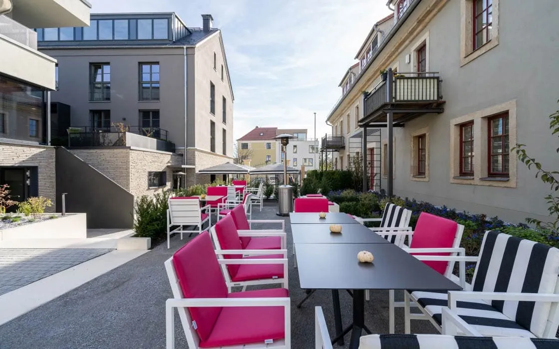
Accommodation on the Malerweg is not what Alpine hikers expect when they hear "multi-day trail." There are no dormitory mountain huts with communal blankets and six-course suppers at a shared table. The Malerweg passes through villages and small towns, and overnight stops are in small hotels, Gasthöfe (traditional German inns) and Pensionen, which are family-run guesthouses. You sleep in a private room with your own bathroom and eat a German breakfast before setting off each morning.

This changes the logistics of the walk considerably. Because your overnight stops are in establishments with proper luggage handling, there is no reason to carry everything on your back. Bookatrekking arranges for your main bag to be transferred from one accommodation to the next each day, so you walk with a daypack containing only what you need for the hours ahead. The app gives you the address and contact details of each night's stop, offline navigation for the stage, and the weather forecast for your route.

Accommodation along the Malerweg is in high demand during peak season and many of the best-placed establishments are booked out months in advance, particularly for weekends in May and September. Booking through Bookatrekking secures your bed at each stage without the need to contact individual properties in German.

If you are looking for the classic Alpine experience of remote mountain huts, shared dormitories and high-altitude trekking, the Malerweg is not that trail. For those options, see our overview of Hut-to-Hut Hiking in Germany: Our Favourite Options.



The 8 Stages of the Malerweg — and Where to Stay

Getting to the Malerweg: Dresden, Prague and Berlin

The nearest major city to the Malerweg is Dresden, and for most international travellers Dresden, Berlin and Prague are the three practical gateway airports.

Via Dresden: Dresden Airport has connections from several UK airports and from major European hubs. From the airport, the S-Bahn connects directly to Dresden Central Station, and from there the S-Bahn S1 line runs along the Elbe valley to Pirna and Bad Schandau, stopping at the towns along the Malerweg corridor. This is the fastest and most direct route.

Via Berlin: Berlin's Brandenburg Airport has intercontinental connections and serves a much wider range of origins than Dresden. From Berlin, trains to Dresden take around two hours, with onward S-Bahn connections into the Elbe valley. This is the most practical route for travellers from outside Europe or from UK airports without direct Dresden services.

Via Prague: Prague may be the least obvious gateway but it is worth knowing about, particularly for travellers who want to combine the Malerweg with a city break. The rail journey from Prague through the Elbe gorge to Bad Schandau and Pirna passes directly through some of the most scenic parts of the sandstone landscape before you even begin walking. For many travellers this turns the journey into part of the experience.

Once you arrive in the region, the villages along the Malerweg are connected by the regional S-Bahn, by the Wanderbus network (a seasonal hiker-specific bus service that runs more frequently between April and November), and by the short Elbe ferry crossing at Schmilka. Detailed transfer information for your specific booking is included in your Bookatrekking travel documents and in the app.


Frequently Asked Questions About the Malerweg Trail

What is the best time of year to hike the Malerweg?

Late spring (May to early June) and early autumn (September to early October) are the most recommended periods. Both offer reliable weather, fully open accommodation, and manageable crowds at the key viewpoints. Summer is also good but busier. Winter is possible but the wet sandstone stairs and ladders become hazardous.

What is the most beautiful hiking trail in Germany?

The Malerweg consistently appears at or near the top of German hiker rankings for the most beautiful long-distance trail in the country. That standing reflects the combination of dramatic sandstone scenery, rich artistic history and a well-designed route, though the best trail always depends on what landscape you find most rewarding.

How difficult is the Malerweg hike?

The Malerweg trail requires solid hiking fitness but no technical skills. The challenge comes from constant elevation change through sandstone staircases, iron ladders and steep rocky paths, not from altitude or weather exposure. Sturdy boots and a reasonable pace are the main requirements.

How long does it take to hike the Malerweg?

The full Malerweg is designed as an 8-stage trail, typically walked over eight hiking days plus arrival and departure days. Bookatrekking also offers a 7-day programme covering the most scenic stages and a 4-day programme focused on the Bastei and the opening stages.

Do I need special equipment for the Malerweg?

No specialist equipment is required. Sturdy, ankle-supporting hiking boots are essential. Bring a daypack, a waterproof jacket and sufficient water for each stage. The iron ladders and rock staircases are accessible without climbing gear or via ferrata equipment.

Is Bad Schandau worth visiting?

Yes. Bad Schandau is the natural mid-point of the Malerweg trail, sitting directly on the Elbe with good rail connections and a pleasant riverside centre. It serves as the base for several stages and makes a convenient overnight stop with easy access to both the national park trails and the Czech border.

How long is the Malerweg trail?

The Malerweg trail is 116 kilometres in total, divided into eight stages. The daily distances range from around 11 to 19 kilometres, making the route accessible to hikers of moderate fitness without requiring very long days.

Can I hike the Malerweg with my dog?

Some sections are challenging with dogs because of the iron ladders and narrow staircases. Detour routes exist around certain technical passages. Dogs must be kept on a lead throughout Saxon Switzerland National Park, and not all accommodation along the Malerweg accepts pets. Check individual property policies when booking.

Safety tips for the Malerweg

Although this is far from being a trek in the Himalayas, unexpected things can always happen and you might also find obstacles on the hiking trails along the way. The Malerweg is safe, the trails are quite straight forward and there is not an extreme difference in altitude. However, for your safety, every hike deserves a level of respect; respect for the terrain, the trails, wildlife and vegetation, local rules and regulations, and above all, your physical capabilities and safety. Therefore, for an unforgettable and safe hiking memory, please keep the following safety recommendations in mind:

  • Know your limits

    Always prepare each stage carefully to use your energy wisely, respect your physical and mental limitations, and avoid taking unnecessary risks. When ascending or descending, if applicable, always use the aids provided, such as handrails and ropes. Is this trek suitable for you? Well, familiarize yourself with the grading system and figure out if this trek matches your capabilities. If you still need professional advice you can always contact Bookatrekking.com experts.

  • Stay on marked trails

    The most important thing is to never leave the marked paths. For easy navigation we work with our trusted partner Komoot, whose interactive maps, also available offline, provide you with the necessary digital means to get from A to B in the Malerweg. As a backup, make sure to bring a hiking guide or a paper map with you.

  • Fully equipped

    Make sure you have the necessary gear for the conditions you'll be facing, including appropriate clothing, footwear, and any necessary equipment for the terrain you'll be hiking on. Always wear clothing adapted to the weather of Malerweg and protect yourself from cold and wetness or heat and sun. Besides, make sure you carry enough food and water for the duration of your trek. On the way, you might (or might not) be able to buy snacks.

  • Stay reachable

    If you are hiking solo or in small groups it is advisable to inform people back home about your plans, what route you are taking and when you plan to return. Even small incidents can lead to unpleasant emergencies so make sure you are available at all times. Bring a charged phone containing at least the phone numbers of immediate family members, your accommodations en route and the emergency phone numbers operating in the Malerweg.

  • Respect for nature

    Do not litter, prevent noise, stay on the marked trails, do not disturb wildlife or grazing animals, and respect protected areas.

Packing List for the Malerweg

No matter where you go hiking or for how long, bringing the right equipment is of utmost importance. For your hike, the first thing you need is a good backpack. The size of it will depend on the number of days you will be trekking, the season and the clothes you take with you. If you have luggage transport, the comfort level of your daypack is most important. We have compiled a packing list with a few essential items of clothing you should bring and some extras you might find useful:
  • Essentials

  • Extras

At Bookatrekking.com, we not only book your accommodation and luggage transport, we also send you on your way with a comprehensive hiking guide with the most important information for your Malerweg, including interactive Komoot maps. Browse all our options here and turn your dreams into reality.

Where Can I Book the Malerweg?

At Bookatrekking.com you can book the self-guided Malerweg and many other treks. We take care of all the details for you, including arranging accommodations, organizing luggage transportation and providing you with relevant information well in advance of your trek. Find our offers here. Our easy-to-use platform allows you to browse and compare different trekking options and find the perfect fit for your interests, abilities, and budget.

If you have any questions about a specific trek or need help choosing the right one for you, our team of trekking experts is here to assist you. Simply reach out to us and we will be happy to provide you with personalized recommendations and advice to help you plan the trekking adventure of a lifetime.

About Us

At Bookatrekking.com, you will find the trek that will make your life unforgettable. Whether you want to explore the Inca Trail or climb Kilimanjaro. Bookatrekking.com has a wide and varied range of first-class treks. No false promises are made here. Transparent prices and bookings are fixed instantly. Find, compare, book and trek!
Read more about us
About Us
About Us

Also Interesting