Rothaarsteig Trail: Hiking in Sauerland

Find that one special trekking
Search
Rothaarsteig Trail: Hiking in Sauerland
Quick personal advice
Free cancellation up to two weeks in advance
Trekking experts per destination

The Rothaarsteig in the Sauerland is one of Germany's top hiking routes. If you want to go hiking in Sauerland or in Winterberg, sooner or later you will come across the Rothaarsteig trail. In this blog post, you will read about the Rothaarsteig route, the stages, and accommodations along the route, and you will find a map and different options for a package. Los geht's!

The main route of the Rothaarsteig runs from Brilon in North Rhine-Westphalia, mainly southwards over the Kahler Asten to Dillenburg in Hesse. The Rothaarsteig is 155 kilometers long and can be walked in 8 stages. Together with the Eifelsteig, Malerweg, Moselsteig, and Rheinsteig, the Rothaarsteig is one of Germany's most popular hiking trails. You can read how the Rothaarsteig got its name later in this blog post.

Hiking in Sauerland

The Sauerland is an area shared by the German states of North Rhine-Westphalia and Hesse. It is not far from the much busier Ruhr region and because of its hilly landscape and a chance of snow in winter, it is a favorite holiday destination for the Dutch, Belgians and, of course, Germans. When it's not snowing, Sauerland is a hiker's paradise and because of the good public transport connections, you can always get back to your starting point very easily. The hiking trails in Sauerland are so-called Qualitätswanderwege; these are hiking trails that are extra well-signposted and thus have earned a quality seal from the Deutsches Wanderverband. Although there are many options for short walks in the Sauerland region, the Rothaarsteig is the literal highlight.

Hiking in Sauerland

Book Now

Did you know that we can book all overnight accommodation for the Rothaarsteig for you? Check out all our options here.

What and Where Is the Rothaarsteig?

The Rothaarsteig is a 155-kilometer hiking trail that starts in Brilon and ends in Dillenburg. The route runs along the Rothaar Mountains in the region between North Rhine-Westphalia and Hesse. The Rothaarsteig can be hiked in both directions but is most often walked from north to south. The route has many great viewpoints and sights, including the Langenberg, the Rhine Weser Tower, the Ginsburg, and many major rivers. On the Rothaarsteig, you walk through beautiful Sauerland and one of the stages ends and starts in Winterberg; a favorite winter sports destination.

How does the Rothaarsteig get its name? Well, at least it has nothing to do with red hair. The route passes through the Rothaar Mountains and that name too has nothing to do with hair color. This name is derived from Rod-Hardt-Gebirge. It has everything to do with clearing forests. And then one more thing: although the Rothaarsteig association sees more and more cyclists on the hiking trail, this is not the intention. The Rothaarsteig is meant for hikers only.

Best Season for the Rothaarsteig

With the right equipment, you can basically hike the Rothaarsteig all year round. However, in winter there is a chance of snow on the Rothaarsteig and then the region is mainly focused on winter sports. The best seasons for the Rothaarsteig are spring, summer, and autumn. You can get on the Rothaarsteig as early as March for a proper hike. Regarding temperatures, it's best to visit the region in spring and summer.

Best Season for the Rothaarsteig

Rothaarsteig: Mapping and Navigation

The Rothaarsteig has countless options. Nor are you the first to make your way along the path of the senses, through the varied landscape that could be straight out of a picture book. But where do you start? Later in this blog, you will find some options for your Rothaarsteig adventure. Below is an overview of the Rothaarsteig, with the entire route. On the map, you'll also find some important other destinations. You can see that the Rothaarsteig really is a stone's throw away from the Ruhr region.

All Rothaarsteig Stages: From Day to Day

The original Rothaarsteig route leads you along the path of the senses in 8 stages. The route starts in Brilon and ends in Dillenburg. In the following overview, you will find the Rothaarsteig divided into 8 stages, the most common variant. The daily distances are between 14 and 25 kilometers and there are no more than 700 height meters each day. Of course, some stages are slightly more challenging than others. Note that there are two options for Stage 4. You'll find more information on those below.

Day
1

Arrival day Brilon

Today, you arrive in Brilon. If you plan to travel by car, it's easiest to park your car in Dillenburg and use public transportation to get to Brilon. But keep in mind that this takes an additional five hours and makes your journey a full day. If you arrive directly by train, you'll have some time to look around in Brilon. The center with its beautiful half-timbered houses is perfect for a relaxed afternoon. Tomorrow, the hiking tour begins!

Hotel Starke (Brilon)

Info
Hotel Starke (Brilon)
Day
2

Brilon - Willingen

Duration: 07:07 h
Distance: 23.3 km / 14.5 mi
Ascent: 700 m / 2297 ft
Descent: 510 m / 1673 ft
The first stage of the Rothaarsteig leads south to the town of Willingen. The hike begins in front of Brilon's town hall. From here, you leave the town through the Drübelse Nature Reserve. Later on, you'll reach the Borberg, which offers a beautiful view of the Ruhr area. From there, the trail continues to the endpoint in Willingen.

Aparthotel Jägerhaus (Willingen)

Info
Aparthotel Jägerhaus (Willingen)
Day
3

Willingen - Winterberg

Duration: 06:15 h
Distance: 22 km / 13.7 mi
Ascent: 490 m / 1608 ft
Descent: 470 m / 1542 ft
This stage of the Rothaarsteig begins in Willingen and leads along the Hessian border. Further south, you walk through the Neuer Hagen nature reserve. Once you reach Küstelberg, the route heads westward along the Wagenschmier quarry and ends in the town of Winterberg, which is also a favorite destination for winter sports enthusiasts in the winter. It's a challenging stage but definitely worth it.

Hotel Hessenhof (Winterberg)

Info
Hotel Hessenhof (Winterberg)
Day
4

Winterberg - Schanze

Duration: 05:10 h
Distance: 18.7 km / 11.6 mi
Ascent: 340 m / 1115 ft
Descent: 300 m / 984 ft
The third stage of the Rothaarsteig takes us to the Kahle Asten. Here, you have a beautiful view of the surrounding region, overlooking the Brocken, the Feldberg, and the Wasserkuppe in the Rhön. At the Heidenstock, the Rothaarsteig splits into two paths. The main path continues along the mountain ridge and leads to Kühhude, but to reach Schanze, you have to turn right into the valley. The decision for the next stage can be made in the evening.

Hotel Stoffels (Schanze / Schmallenberg)

Info
Hotel Stoffels (Schanze / Schmallenberg)
Day
5

Schanze - Rhein-Weser Tower (through the valley)

Duration: 06:38 h
Distance: 23.4 km / 14.5 mi
Ascent: 490 m / 1608 ft
Descent: 530 m / 1739 ft
Today, you have the choice to either hike through the valley or walk along the mountain ridge. Both stages start at the same point and have the same level of difficulty. Stage 4a is the favorite of most Rothaarsteig hikers. On your way to Jagdhaus, you'll pass through the town of Latrop before continuing on the route to the Rhein-Weser-Turm, a tower that offers a beautiful panoramic view of the Sauerland.

Gasthof Zur Hahnenquelle (Rhein-Weser-Turm)

Info
Gasthof Zur Hahnenquelle (Rhein-Weser-Turm)
Day
6

Rein-Weser-Turm - Lützel

Duration: 05:07 h
Distance: 18.2 km / 11.3 mi
Ascent: 330 m / 1083 ft
Descent: 430 m / 1411 ft
The fifth stage of the Rothaarsteig starts at the Rhein-Weser Tower and leads south to the town of Lützel. You'll pass by the Sauerlandse Wildpark and enter the Schwarzbachtal. Before reaching the endpoint of this stage, you'll walk by the Giller, a lookout tower that offers a beautiful view of the region.

Ginsberger Heide (Lützel / Hilchenbach)

Info
Ginsberger Heide (Lützel / Hilchenbach)
Day
7

Lützel - Lahnhof

Duration: 03:53 h
Distance: 14.2 km / 8.8 mi
Ascent: 230 m / 755 ft
Descent: 190 m / 623 ft
The sixth stage of the Rothaarsteig takes us south to Lahnhof. The majority of this route follows the historic Iron Road along the Rothaarkamm. You start with a walk along the Eder and then head east to Großenbach. Afterwards, you head south to Lahnhof, the source of the river Lahn.

Hotel - Restaurant - Café Forsthaus Lahnquelle (Lahnhof / Netphen)

Info
Hotel - Restaurant - Café Forsthaus Lahnquelle (Lahnhof / Netphen)
Day
8

Lahnhof - Wilgersdorf

Duration: 05:22 h
Distance: 19.6 km / 12.2 mi
Ascent: 230 m / 755 ft
Descent: 440 m / 1444 ft

This stage of the Rothaarsteig first takes us to the Ilsequelle, which was a pilgrimage site in the Middle Ages believed to have healing powers. Then, the path leads southwest along the Jagdberg, offering a beautiful view of the valley.

The Kaffeebuche is a good place to take a break and enjoy the surrounding scenery. Afterward, you'll reach the source of the Dill, which happens to also mark the border between the Hessian Westerwald and the Lahn-Dill-Bergland Nature Park. Follow the route to the town of Wilgersdorf.

Gästehaus Wilgersdorf GmbH (Wilgersdorf)

Info
Gästehaus Wilgersdorf GmbH (Wilgersdorf)
Day
9

Wilgersdorf - Dillenburg

Duration: 05:58 h
Distance: 20.9 km / 13 mi
Ascent: 390 m / 1280 ft
Descent: 670 m / 2198 ft
This is the final stage of the Rothaarsteig. Starting from Wilgersdorf, it leads southeast through the Lahn-Dill-Bergland region. You'll pass by the Lucaseiche monument and Forsthaus Steinbach. You'll walk through the town of Rodenbach and continue eastward, crossing the Hengstbach. Finally, you'll reach the endpoint of the Rothaarsteig in Dillenburg.

Hotel Bartmanns Haus (Dillenburg)

Info
Hotel Bartmanns Haus (Dillenburg)
Day
10

Final day

After breakfast, the program is over. We hope to see you again soon in the Sauerland and wish you a safe journey home!
Hide entire itinerary

Not sure yet or want to discuss your plans for the Rothaarsteig with one of our trekking experts? Get in touch today and turn your dreams into memories!

Traveling to and From the Rothaarsteig

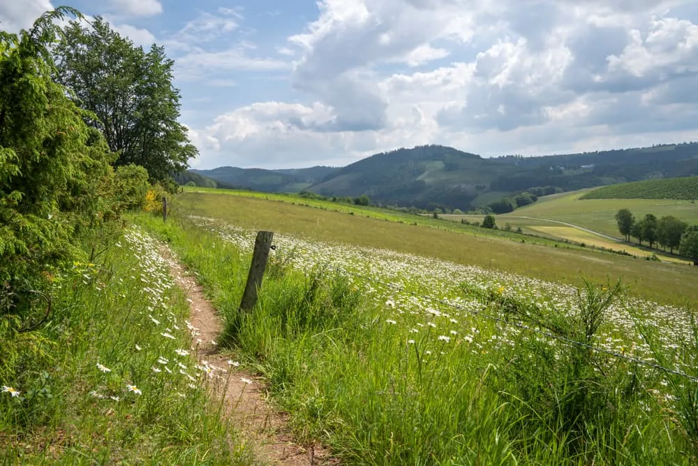
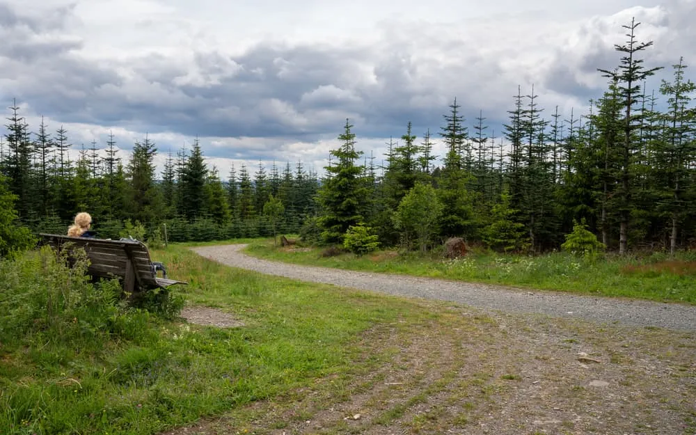
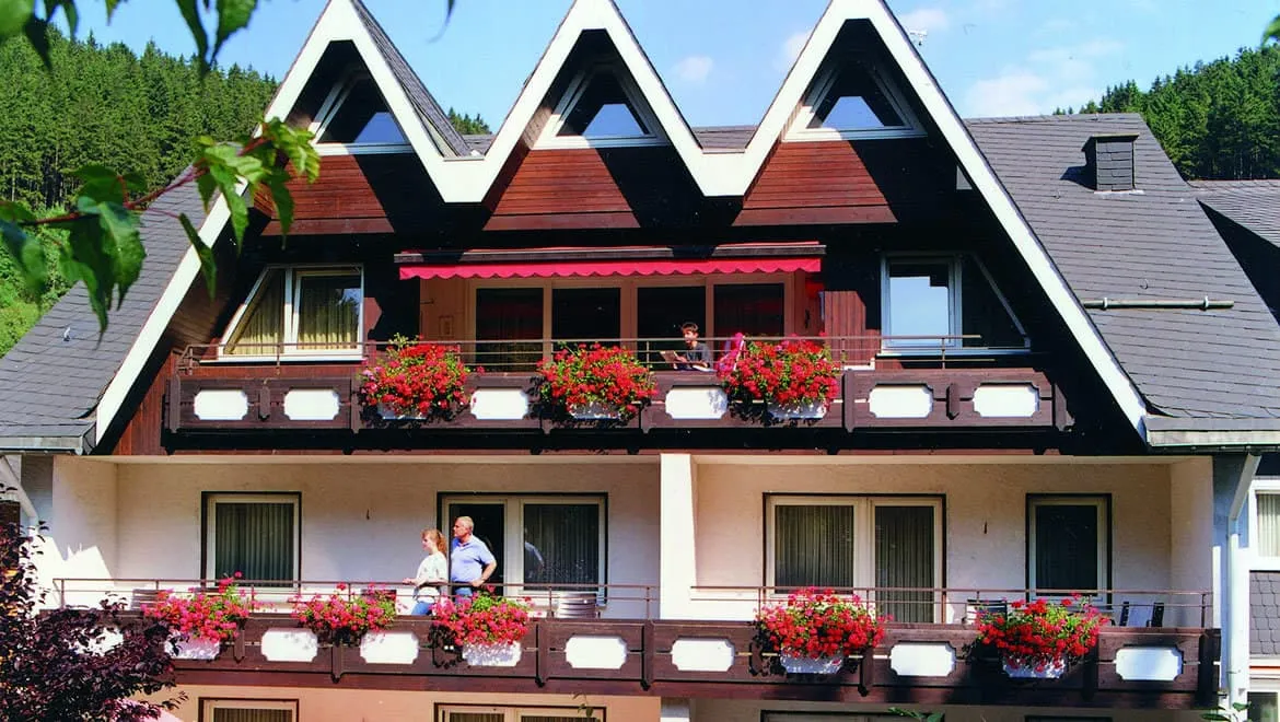
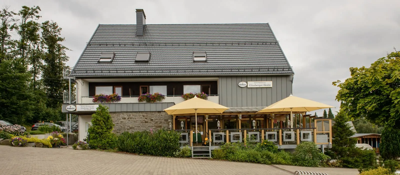
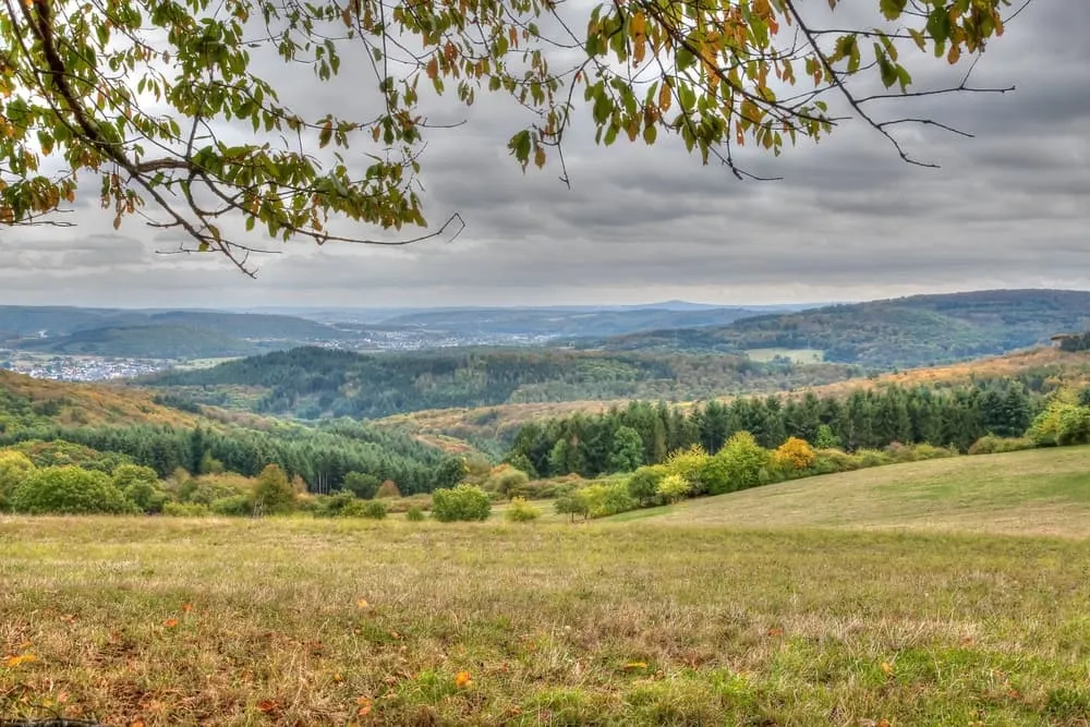
Although the Rothaarsteig is well served by public transport, hikers should bear in mind that Sauerland is sparsely populated and buses do not run every half hour. Because the Rothaarsteig runs through the Rothaar Mountains, not all villages are directly connected to the public transport network either. For arriving, it is, therefore, best to travel to the endpoint and take public transport to the starting point from there. This ensures a relaxing end to your Rothaarsteig adventure. Note: the journey from Dillenburg to Brilon quickly takes five hours. If you want relaxed travel, it's best to arrive and depart by train.

By plane

It is the easiest to fly to Dortmund or Köln. From there it is very easy to take the train to Brilon. From Dortmund, it will only take you approximately 2 hours to travel to Brilon by train. From Köln, it will take you 3.5 hours to travel to Brilon.

By train

You can reach the starting point, the marketplace in Brilon, by train. Traveling from the direction of Utrecht, catch the train to Venlo. In Schwerte (Ruhr), change trains to Dortmund. From here, a direct to Brilon-Stadt. The journey takes about six hours. From Brussels-Midi, you can catch the Thalys to Duisburg. About this, get on the ICE towards Dortmund. From Dortmund, the regional train goes to Brilon.

By car

If you are traveling by car, it is best to travel to the ending point of the Rothaarsteig. From here, you can take public transport to the starting point. This makes for a relaxing end to the Rothaarsteig.

From Dillenburg back to Brilon

From Dillenburg to Brilon is best traveled by train. Note: It is not a direct journey and can easily take 4.5 hours to arrive at the starting point. Take this into account in your planning. It pays to travel from the Netherlands or Belgium directly to Brilon by train and return after the Dillenburg hike. If you do park your car in Dillenburg, you can take the train to Gießen from here. From Gießen, travel to Marburg Hauptbahnhof and from there directly to Brilon.

Traveling to and From the Rothaarsteig

Accommodation Along the Rothaarsteig

The Rothaarsteig is one of the more popular long-distance hiking trails in Germany. That, combined with the beauty of the Sauerland and the attraction of Winterberg, ensures that you will find numerous accommodation options along the Rothaarsteig. Be it a hotel, a guesthouse, a Bed, and Breakfast or a so-called Zimmer Frei. On the Rothaarsteig route, you'll find it all. The Gasthöfer and Hotels along the Rothaarsteig are usually family-run businesses, are often accompanied by an in-house restaurant(s) and bar, and play a central role in community life in the village or town.

A typical example of a Gasthof along the Rothaarsteig:

Accommodation Along the Rothaarsteig

Safety tips for the Rothaarsteig

Although this is far from being a trek in the Himalayas, unexpected things can always happen and you might also find obstacles on the hiking trails along the way. The Rothaarsteig is safe, the trails are quite straight forward and there is not an extreme difference in altitude. However, for your safety, every hike deserves a level of respect; respect for the terrain, the trails, wildlife and vegetation, local rules and regulations, and above all, your physical capabilities and safety. Therefore, for an unforgettable and safe hiking memory, please keep the following safety recommendations in mind:

  • Know your limits

    Always prepare each stage carefully to use your energy wisely, respect your physical and mental limitations, and avoid taking unnecessary risks. When ascending or descending, if applicable, always use the aids provided, such as handrails and ropes. Is this trek suitable for you? Well, familiarize yourself with the grading system and figure out if this trek matches your capabilities. If you still need professional advice you can always contact Bookatrekking.com experts.

  • Stay on marked trails

    The most important thing is to never leave the marked paths. For easy navigation we work with our trusted partner Komoot, whose interactive maps, also available offline, provide you with the necessary digital means to get from A to B in the Rothaarsteig. As a backup, make sure to bring a hiking guide or a paper map with you.

  • Fully equipped

    Make sure you have the necessary gear for the conditions you'll be facing, including appropriate clothing, footwear, and any necessary equipment for the terrain you'll be hiking on. Always wear clothing adapted to the weather of Rothaarsteig and protect yourself from cold and wetness or heat and sun. Besides, make sure you carry enough food and water for the duration of your trek. On the way, you might (or might not) be able to buy snacks.

  • Stay reachable

    If you are hiking solo or in small groups it is advisable to inform people back home about your plans, what route you are taking and when you plan to return. Even small incidents can lead to unpleasant emergencies so make sure you are available at all times. Bring a charged phone containing at least the phone numbers of immediate family members, your accommodations en route and the emergency phone numbers operating in the Rothaarsteig.

  • Respect for nature

    Do not litter, prevent noise, stay on the marked trails, do not disturb wildlife or grazing animals, and respect protected areas.

Packing List for the Rothaarsteig

No matter where you go hiking or for how long, bringing the right equipment is of utmost importance. For your hike, the first thing you need is a good backpack. The size of it will depend on the number of days you will be trekking, the season and the clothes you take with you. If you have luggage transport, the comfort level of your daypack is most important. We have compiled a packing list with a few essential items of clothing you should bring and some extras you might find useful:
  • Essentials

  • Extras

At Bookatrekking.com, we not only book your accommodation and luggage transport, we also send you on your way with a comprehensive hiking guide with the most important information for your Rothaarsteig, including interactive Komoot maps. Browse all our options here and turn your dreams into reality.

Where Can I Book the Rothaarsteig?

At Bookatrekking.com you can book the self-guided Rothaarsteig and many other treks. We take care of all the details for you, including arranging accommodations, organizing luggage transportation and providing you with relevant information well in advance of your trek. Find our offers here. Our easy-to-use platform allows you to browse and compare different trekking options and find the perfect fit for your interests, abilities, and budget.

If you have any questions about a specific trek or need help choosing the right one for you, our team of trekking experts is here to assist you. Simply reach out to us and we will be happy to provide you with personalized recommendations and advice to help you plan the trekking adventure of a lifetime.

Is the Rothaarsteig not your cup of tea and are you looking for other epic adventures? Check out one of our following blog posts:

Comments

About Us

At Bookatrekking.com, you will find the trek that will make your life unforgettable. Whether you want to explore the Inca Trail or climb Kilimanjaro. Bookatrekking.com has a wide and varied range of first-class treks. No false promises are made here. Transparent prices and bookings are fixed instantly. Find, compare, book and trek!
Read more about us
About Us

Also Interesting

Show more