South Downs Way: England's Latest National Trail

Rintsje Bosch
Rintsje Bosch
Rintsje Bosch
28 Feb 2024 12 min read
South Downs Way: England's Latest National Trail
Trekking experts per destination
Free cancellation up to eight weeks in advance
Quick personal advice

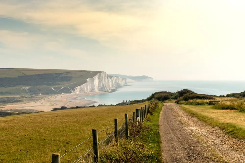
The South Downs Way is a trail that runs through the South Downs National Park. It is England’s newest National park and was only established in 2009. It runs through as many as 5 National Nature Reserves and many more interesting attractions, the most important being the iconic English chalk hills.

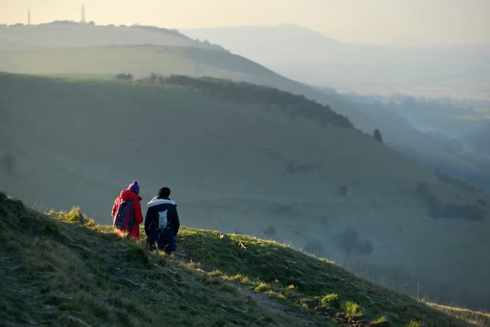
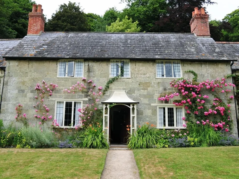
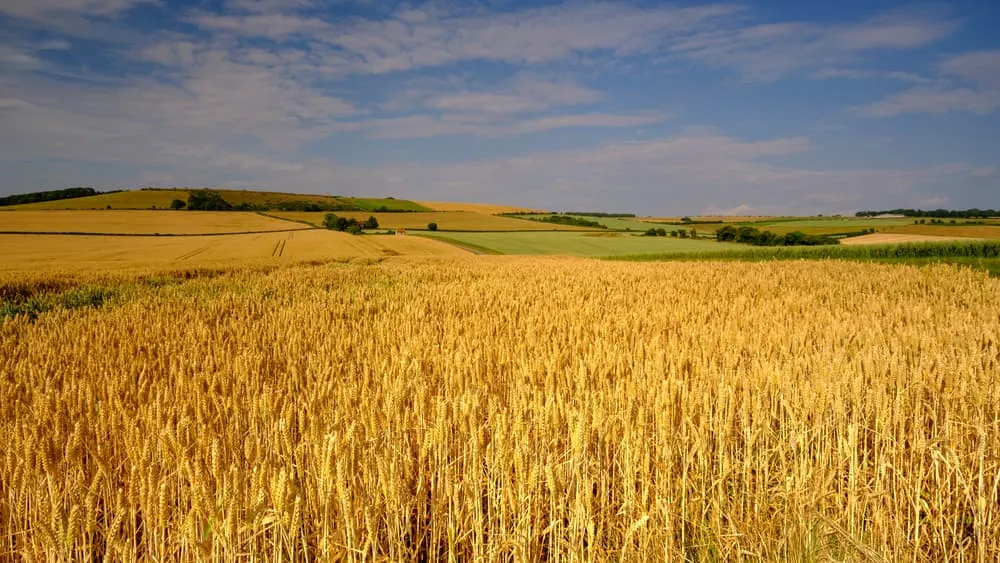
In the spring and summer, you will be led past yellow rapeseed fields and stately houses with colourful English gardens. In autumn, you’ll enjoy the golden rolling hills, while still catching a bit of sun along the east coast. It’s the perfect setting for unforgettable England walking holidays.
Where is the South Downs Way?

The South Downs Way is a linear walk that starts in Winchester, in the South of England, and runs towards the east, where it ends in the seaside resort of Eastbourne. It is completely surrounded by the South Downs National Park and is known as one of England’s easiest long distance hikes.

It is a varied trail that crosses through lovely villages as well as through typical English valleys, where the smell of wildflowers will welcome you. Enjoy your lunch in a cozy English pub, as you are in the middle of nature, but never far away from shops and restaurants.

Where is the South Downs Way?

The South Downs Way length

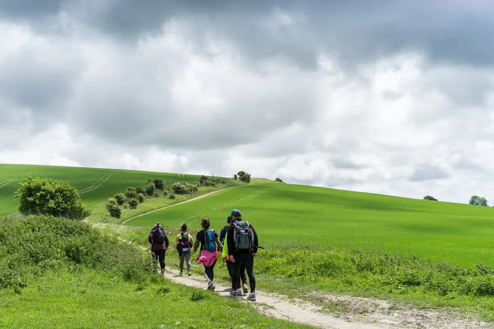
The trail is about 160 kilometers long and will take you from the south-west of England to the seaside in the south-east. It is a very accessible route which can easily be walked by hikers of all levels. The South Downs Way runs mostly along a ridge, but you will also walk on white chalk and rocky paths. If you want a moderate difficult hike, the South Downs Way could be finished in approximately nine days, but if you want to do a more intense hike, you can finish it in seven or eight days as well. The trail has good road signage so you can easily find your way.

Since most of the South Downs Way goes along a ridge, it is necessary to descend when you want to visit a village. However, the aggregated ascent is only about 4200 meters, and the hills are almost never more than 200 meters. This makes it a fairly easy hike. There are no steep climbs, so ascending and descending will not be too hard.

The South Downs Way length

Did you know that we can book all overnight accommodation for the The South Downs Way for you? Check out all our options here.

The South Downs Way Attractions

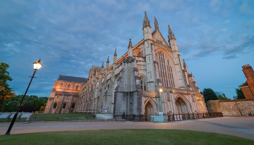
There are many things to look forward to on this hike. Even the starting point of Winchester is already a very popular city to visit. It is known for its cathedral, which we would definitely recommend visiting. About halfway through the South Downs Way, you will find the towns of Amberley and Arundel, where you will see historic thatched houses, as well as castles and the famous Bignor Roman Villa. If you are a bookworm, make sure to visit the town of Lewes. Here, you will find many old English bookshops. Be sure to pick up your favourite English folklore tale!

You’ll pass by the Devil’s Dyke, which is said to have been created by the devil himself, in order to flood the parshians below. However, scientists believe that it was created during the ice age. It is the longest, widest and deepest dry valley in England and is nearly one mile long. Move on and see the famous Seven Sisters chalk hills looming in the distance. Then, make your way down to the seaside resort and the final stop of the South Downs Way; Eastbourne. If the weather permits it, you’ll be able to relax on the beach or dip your toes in the waters of the English Channel.

The South Downs Way Attractions

The South Downs Way: Start and End Point

The South Downs Way start is in Winchester. This city used to be the Capital of England and many tourists still come to see the longest medieval cathedral in the world. If you are a big fan of the tale of King Arthur and the Knights of the Round Table, be sure to visit Winchester Castle Hall. You can see the original Round Table here.

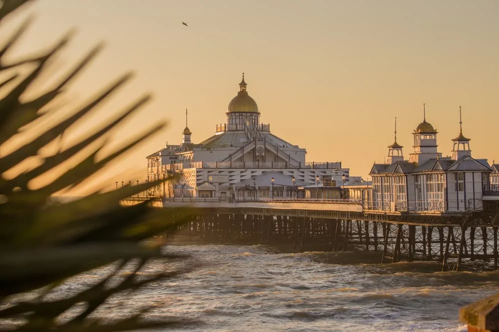
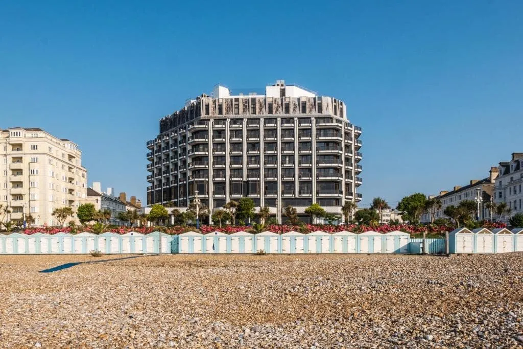
The trail ends in the seaside resort of Eastbourne. This town is often referred to as “ the sunniest town in England”. Due to it being so close to France, it enjoys a slightly more tropical climate than the rest of England. This is great if you want to walk in England, but do not want to be walking in the rain everyday. However, it is not guaranteed that there will be no rain at all. After all, you’re still in Great-Britain so make sure to prepare for all kinds of weather.

It is recommended to walk the route from Winchester to Eastbourne (west to east) because you will have the wind in your back. If you decide to do it the other way around, you will most likely be walking in the wind for the entire route.

The South Downs Way: Start and End Point

How to get to the South Downs Way?

Not only can the South Downs Way be walked very easily, but it is also very accessible. From London Gatwick Airport, it is merely one hour to Winchester by train. If you arrive at Southampton airport, it is only 15 minutes by train to get to Winchester. Winchester is also very accessible by train from other cities in Great-Britain.

There are trains running frequently from Eastbourne or other stops along the route (Southease, Lewes, Amberley, Petersfield) back to London Victoria, London Waterloo, London Gatwick Airport or to Southampton Airport. Therefore, finding your way back home will not be a problem.

Not sure yet or want to discuss your plans for the The South Downs Way with one of our trekking experts? Get in touch today and turn your dreams into memories!

South Downs Way: Weather and Best Season

The hiking season for the South Downs Way walk is from May until September. However, the summer holiday starts mid-july and during this month you may find the trail to be much more crowded. Also, attractions along the way are visited much more in this period. Book your South Downs Way accommodation well in advance, as they might be full during the summer months. Even though this area enjoys a slightly more tropical climate. It is wise to prepare for rain as well.

Because the trail is mostly along a ridge, the water will drain easily and the ground will be dry. Nevertheless, after a rain shower it might get slightly muddy and slippery. Be sure to wear shoes with non-slip soles.

South Downs Way: Weather and Best Season

The South Downs Way Map

Below, you will find a map of the South Downs Way stages, starting in Winchester and ending in Eastbourne. The route runs from west to east. If you are looking for a tool to help you with planning your trekking adventures, the Komoot app could be useful.

The South Downs Way Walk - Itinerary

The following itinerary shows how a regular 9-day trek on the South Downs Way would look like, including the accommodation before and after the trek.

Day
1

Arrival in Winchester

Today, you will arrive in Winchester, the starting point of your South Downs Way adventure. Take some time to explore the historic city centre, visit the cathedral if you have time, and settle in before the walk begins tomorrow.

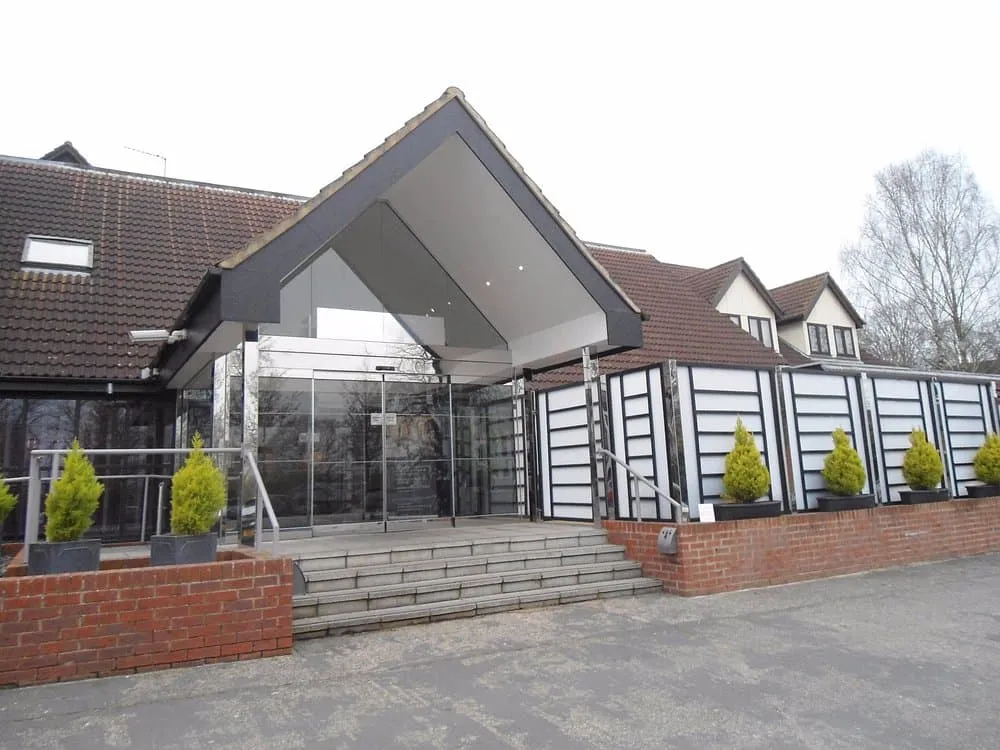
The Winchester Hotel and Spa (Winchester)

Info
The Winchester Hotel and Spa (Winchester)
Day
2

Winchester - Exton

Duration: 05:55 h
Distance: 21.9 km
Ascent: 290 m
Descent: 280 m

This is a long first walking stage of almost 22 km, leading from Winchester into the open countryside of the South Downs. The route leaves the city through its eastern edge and soon settles into a mix of quiet lanes, field paths and rolling farmland. The profile is gentle overall, with small climbs and descents spread through the day rather than one major ascent. It is a good introduction to the rhythm of the trail.

From Winchester, the route passes near River Itchen before heading out through Petersfield Road and towards Chilcomb parish. After leaving the city behind, you follow rural tracks and paths across open ground, with views over the surrounding countryside. The trail continues past lanes and field edges, then bends south towards the Meon Valley Trail area. Along the way, you pass small woods, farm tracks and broad views across the Hampshire hills.

The final section leads towards Exton after a steady stretch through quieter countryside. You arrive in the village with the main walking behind you, a practical place to rest after a long but manageable first stage from Winchester.

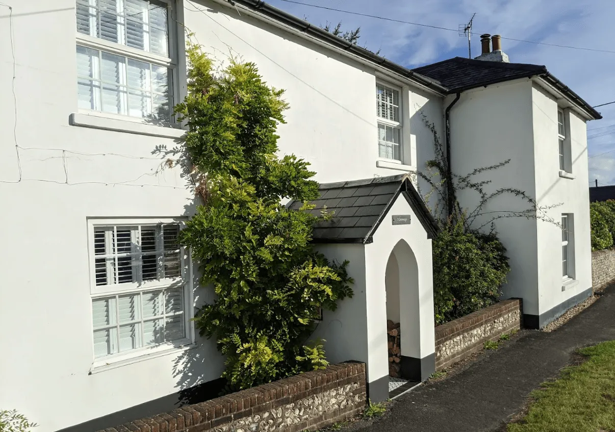
Crossways B&B (Exton)

Info
Crossways B&B (Exton)
Day
3

Exton - Buriton

Duration: 05:50 h
Distance: 20.8 km
Ascent: 390 m
Descent: 370 m

This is a long stage from Exton to Buriton, crossing the rolling chalk hills and open countryside of the South Downs. The route moves through a mix of field paths, quiet lanes, wooded sections and broad hilltop tracks. The profile rises and falls throughout the day, with the highest-feeling stretch coming around the middle of the route before a gentler finish towards Buriton.

From Exton, the trail heads east past the Old Winchester Hill area, with viewpoints and Iron Age features marked along the Monarch's Way. It then continues towards Meon Springs and Small Down, before crossing higher ground near Salt Hill (210 m), Hyden Hill (210 m) and Tegdown Hill (220 m). Further on, the path passes Butser Hill (270 m) and its nature reserve, and Queen Elizabeth Country Park, with woodland, open downs and broad views shaping the second half of the walk.

The final section leads through the Buriton area, passing along along the Hangers Way and Shipwrights Way. You arrive in Buriton after a full day across the South Downs, with your accommodation offering a practical place to rest after the walk from Exton.

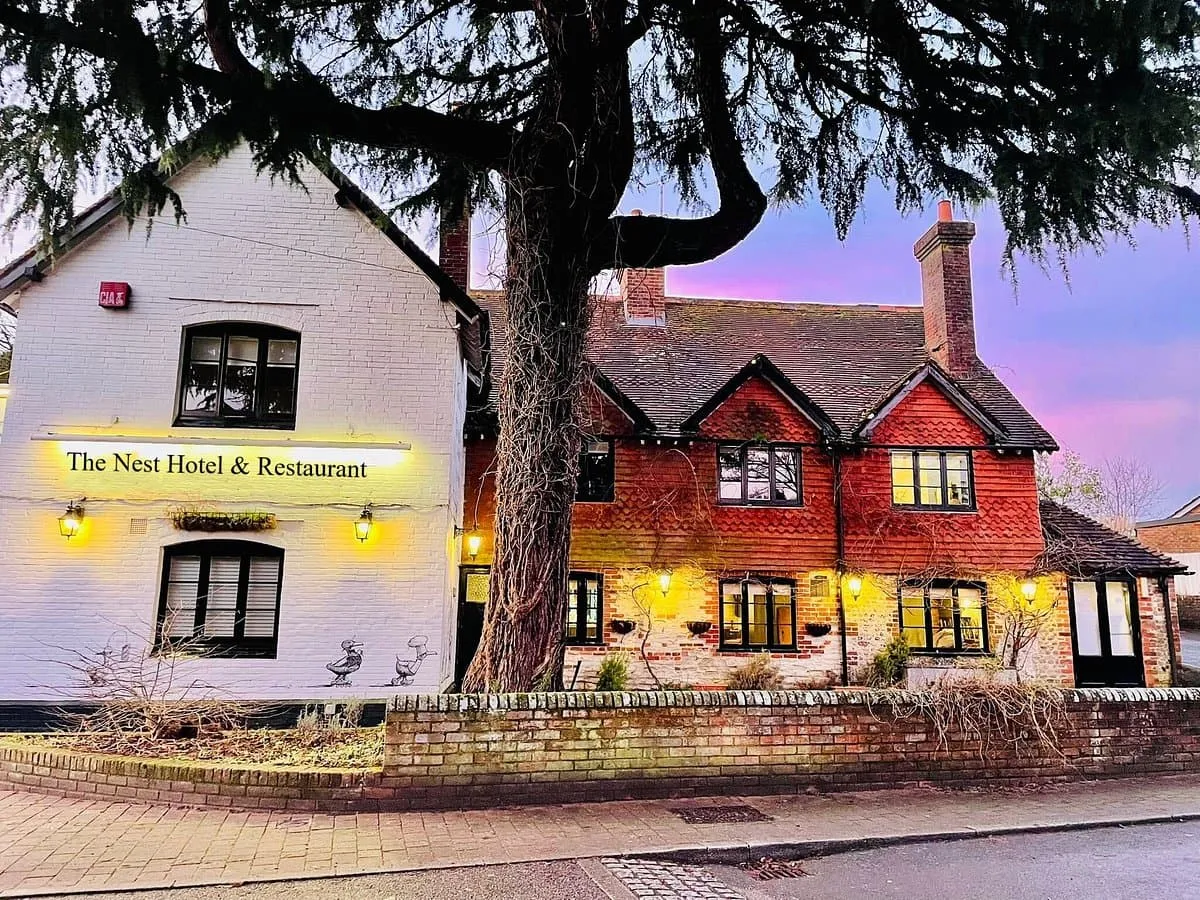
The Nest Hotel & Restaurant (Buriton)

Info
The Nest Hotel & Restaurant (Buriton)
Day
4

Buriton - Cocking

Duration: 05:10 h
Distance: 18.4 km
Ascent: 360 m
Descent: 390 m

This stage leaves Buriton and continues east through a classic South Downs landscape of open ridges, woodland edges and quiet tracks. The walking rolls steadily rather than climbing in one big push, with several broad viewpoints along the way. Expect a varied route through open downland, forest margins and rural paths, with enough small rises and descents to keep a good rhythm before the final approach towards Cocking.

From Buriton, the trail passes Saint Mary's Church and its pond before heading across open ground towards the 18th-century Vandalian Tower on the summit of Tower Hill (210 m). Further on, the route continues towards the viewpoints around Beacon Hill (242 m), where it opens out across the surrounding downs. The path then follows bridleways and hill tracks towards the Devil's Jumps, a series of well-preserved Bronze Age barrows (cemeteries), located just off the trail. Shortly afterwards, you will pass Treyford Hill (236 m) and Linch Down (248 m).

The final section of the walk leads you past the beautiful South Downs Forest and on towards Cocking. After a steady succession of ridges, woods and open farmland, you arrive at your accommodation, which provides a practical place to rest after the walk from Buriton.

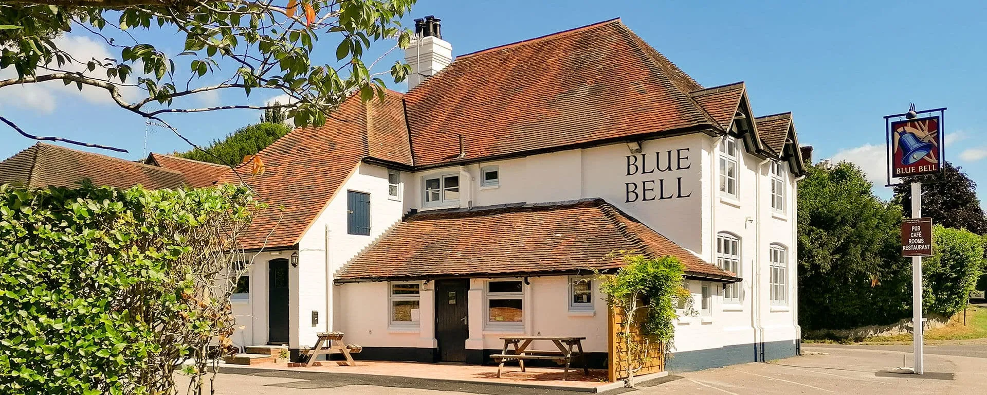
The Blue Bell (Cocking)

Info
The Blue Bell (Cocking)
Day
5

Cocking - Amberley

Duration: 06:00 h
Distance: 21.2 km
Ascent: 410 m
Descent: 440 m

This is a long stage from Cocking to Amberley, crossing a broad section of the South Downs. The route starts with a steady climb out of Cocking, then settles into rolling high ground with open views, woodland edges and long bridleway sections. The profile stays varied throughout the day, with several gradual rises and descents before dropping towards the River Arun and the lower ground around Amberley.

Starting in Cocking, the trail climbs past Heyshott Down (233 m) and continues through open countryside towards viewpoints and rest areas in the national park. Along the way, you will pass a log bench, benches with scenic views and several archaeological sites, such as the two barrows and the cross-dyke of the Graffham Down Nature Reserve. Later on, the route reaches the area of Sutton Down (242 m) and Glatting Beacon (246 m). Further on, the trail crosses higher ground just outside Houghton Forest and the village of Houghton before descending towards the surrounding valley.

The final section follows lower ground towards Amberley, passing over the River Arun and the bridge area before entering the village. You arrive in Amberley after a full day of open downs, woodland sections and steady walking, with your accommodation giving you a practical place to rest after the route from Cocking.

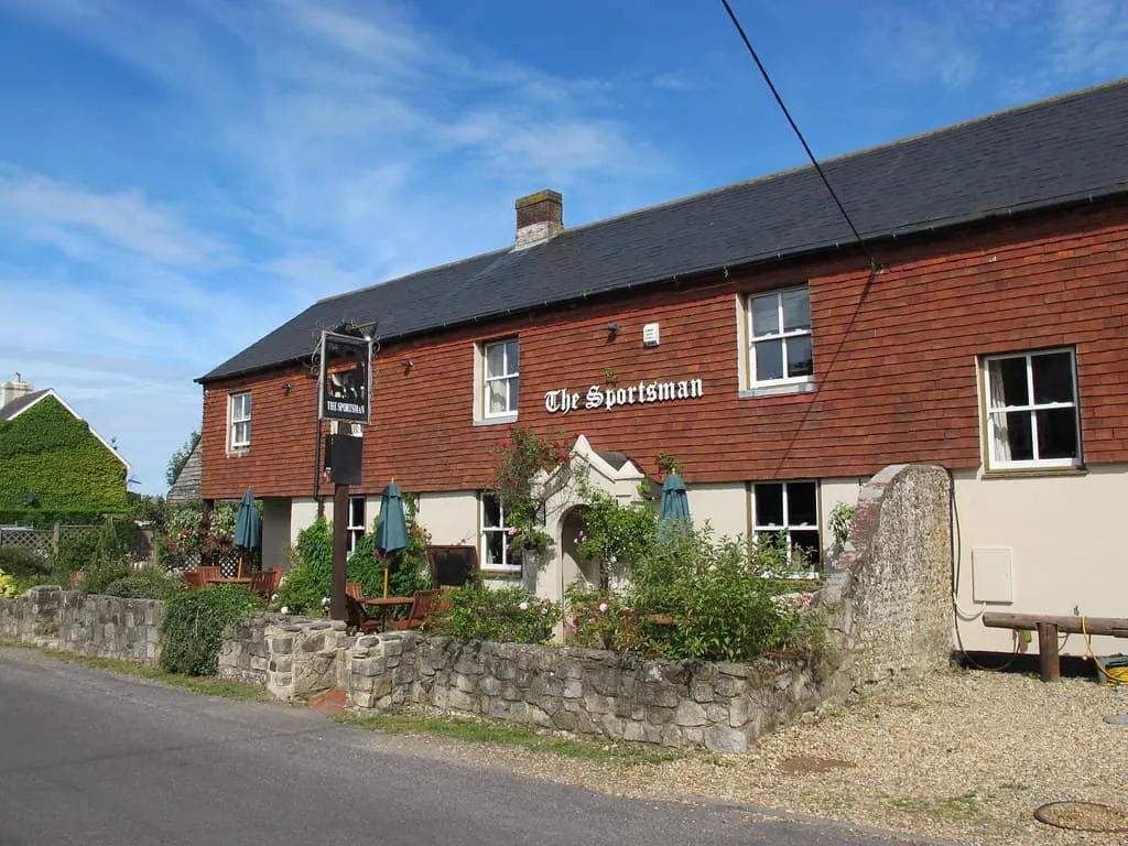
The Sportsman Inn (Amberley)

Info
The Sportsman Inn (Amberley)
Day
6

Amberley - Bramber

Duration: 06:10 h
Distance: 22.2 km
Ascent: 360 m
Descent: 380 m

This is a long day from Amberley to Bramber, crossing open South Downs ridges before dropping towards the River Adur. The route starts low near the Arun Valley, climbs onto higher ground and then follows a broad, rolling line through chalk downland, woodland edges and quiet tracks. The final kilometres descend steadily towards Bramber, so keep a comfortable pace and save some energy for the long finish.

From Amberley, the trail climbs away from the River Arun, passing viewpoints over the South Downs and the Arun Valley before continuing towards Kithurst Hill (213 m). The route then crosses Sullington Hill (206 m) and Barnsfarm Hill (205 m), with views over the South Downs along the way. Further on, you will descend towards the outskirts of Washington before walking up to the hillfort area of the Chanctonbury Ring (242 m), one of the main landmarks of this stage. You will then follow the ridge east towards the end.

The final section descends from the downs towards the lower ground around Bramber, passing near bridleways and viewpoints above the town. You arrive to your accommodation after a full day of open ridges, historic hilltops and a long, steady approach into the valley.

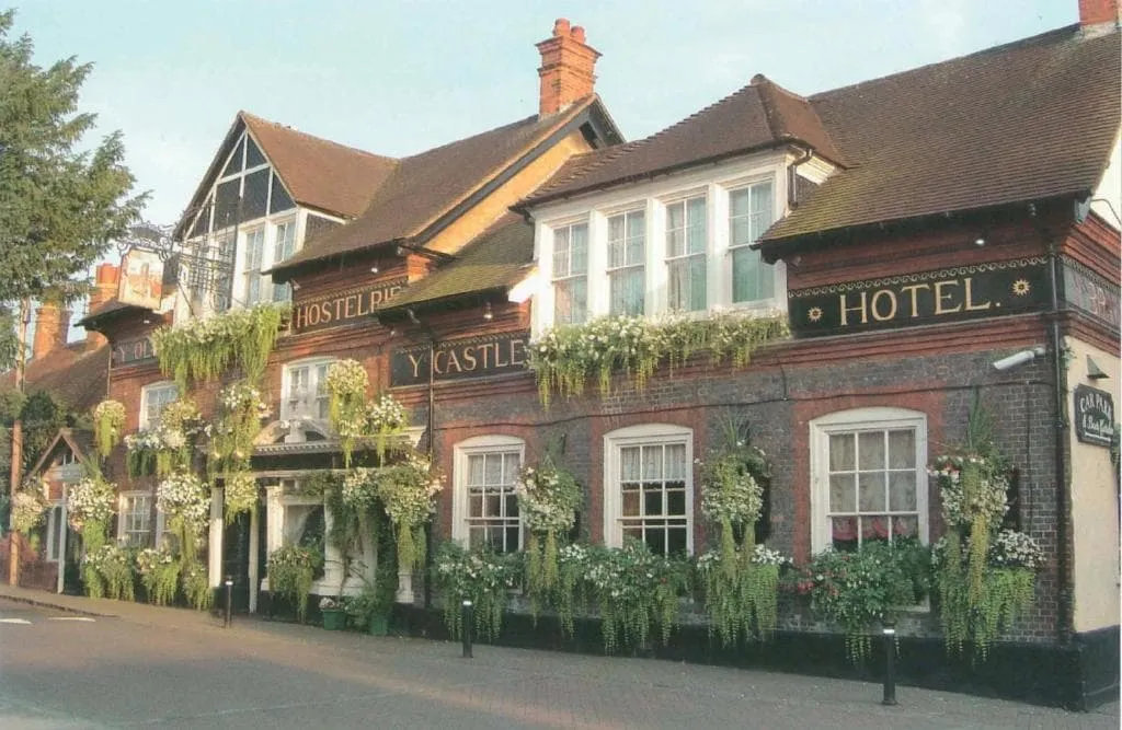
The Castle Inn Hotel (Bramber)

Info
The Castle Inn Hotel (Bramber)
Day
7

Bramber - Pyecombe

Duration: 03:40 h
Distance: 12.6 km
Ascent: 370 m
Descent: 270 m

This is a shorter stage, crossing a compact but varied stretch of the South Downs from Bramber to Pyecombe. The route climbs out from the lower ground near the River Adur and then follows open downland, farm tracks and ridge paths towards the Devil’s Dyke area. It is a steady walking day rather than a long one, with enough ascent to make the first half feel active before the route eases towards Pyecombe.

Starting in Bramber, the trail passes several viewpoints and climbs beneath several hills, including Truleigh (216 m), Edburton (190 m) and Perching (176 m). It then continues through the Sussex countryside, offering more stunning views, before reaching Fulking Hill (206 m) and the Devil’s Dyke area. This is a 100-metre-deep, V-shaped dry valley with a hillfort, 360º viewpoints and historic features close to the trail.

The final section leads east from West Hill (211 m) towards Pyecombe, following tracks across open farmland and downland. You arrive in the village after a clear and varied stage, with your accommodation giving you a practical place to rest after the walk from Bramber.

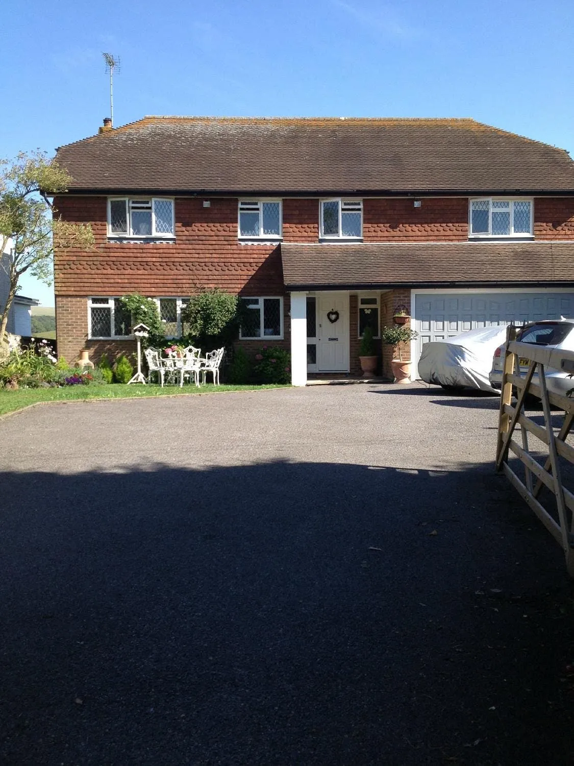
Tallai House B&B (Pyecombe)

Info
Tallai House B&B (Pyecombe)
Day
8

Pyecombe - Lewes

Duration: 06:30 h
Distance: 23.4 km
Ascent: 360 m
Descent: 460 m

Today, a long stage from Pyecombe to Lewes awaits. You will start crossing open South Downs country before dropping towards the Ouse Valley. The route begins on high ground and follows rolling ridges, chalk paths and open farmland, with steady views across the surrounding hills. The profile is varied but manageable, with the main descent coming near the end as you leave the downs and approach the lower ground around Lewes.

From Pyecombe, the trail quickly detours to enjoy Jack and Jill Windmills from a near distance. Then the path heads east past Ditchling Beacon (249 m) and continues along the ridge towards Blackcap (206 m) before heading south. The route then descends through more open countryside before climbing again towards the higher ground above the town of Kingston near Lewes. From here, views open towards Lewes and the Ouse Valley, before the path begins its final descent towards the town.

The last section leads down from the downs into Lewes, passing through the outskirts and towards the town centre. You arrive after a full day of ridge walking, open views and a final descent into the valley, with your accommodation giving you a practical place to rest after the walk from Pyecombe.

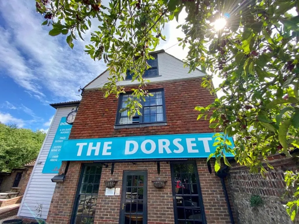
The Dorset (Lewes)

Info
The Dorset (Lewes)
The Dorset (Lewes)
Day
9

Lewes - Alfriston

Duration: 05:50 h
Distance: 21 km
Ascent: 360 m
Descent: 360 m

Today you will be linking the River Ouse with the open South Downs and the Cuckmere Valley. The route starts low near Lewes, follows gentler ground early on, then climbs onto broader downland for the second half. It is a steady walking day with riverside sections, chalk tracks, viewpoints and open farmland before the final descent into Alfriston.

From Lewes, the route heads south and crosses lower countryside until reaching the River Ouse, with views back towards the town and the valley. After crossing Southease Bridge and the train station, the trail begins to climb more clearly onto the downs, passing viewpoints over the ridge. The higher section then follows open tracks across broad chalk country, with long views across the surrounding hills.

The final kilometres descend from the downs towards Alfriston, passing open fields and the lower slopes above the village. You arrive in Alfriston near the Cuckmere Valley, with your accommodation offering a practical place to rest after the route from Lewes.

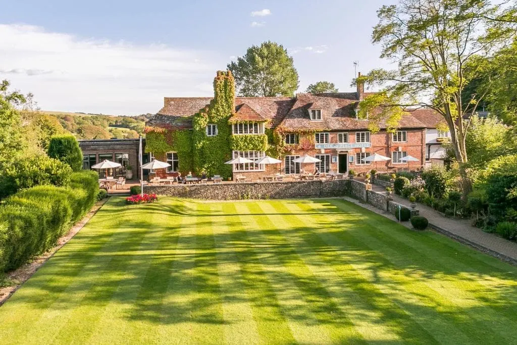
The Alfriston (Alfriston)

Info
The Alfriston (Alfriston)
Day
10

Alfriston - Eastbourne

Duration: 05:55 h
Distance: 21.1 km
Ascent: 390 m
Descent: 390 m

This is a long final walking stage from Alfriston to Eastbourne, with a classic coastal finish over the Seven Sisters and Beachy Head area. The route begins inland near the Cuckmere Valley, then reaches the coast and follows open cliff-top paths for much of the day. Expect steady walking, repeated small rises and descents, wide sea views and a memorable final section towards Eastbourne.

From Alfriston, the route heads south through the towns of Litlington and Westdean before reaching the coast near the Seven Sisters cliffs. The beautiful trail then follows the cliff-top line past viewpoints over the chalk cliffs and the sea, continuing around the headlands towards Beachy Head. Further on, the path passes viewpoints towards Eastbourne from the South Downs before gradually leaving the wilder coastal section behind.

The final approach descends towards Eastbourne, where the route enters the seafront area and finishes near the coast. You arrive after a full day of inland paths, white cliffs and open sea views, with your accommodation giving you a comfortable place to rest at the end of the route.

The View Hotel (Eastbourne)

Info
The View Hotel (Eastbourne)
Day
11

Departure day

After breakfast, your South Downs Way adventure comes to an end in Eastbourne. Take one last look at the seafront before starting your journey home. Have a safe trip back!

At Bookatrekking.com, we not only book your accommodation and luggage transport, we also send you on your way with a comprehensive hiking guide with the most important information for your The South Downs Way, including interactive Komoot maps. Browse all our options here and turn your dreams into reality.

The South Downs Way Accommodation

Along the South Downs Way route are lots of options for accommodation. You can stay in a typical English B&B or in a hotel. You’ll be spoiled with an English breakfast that will keep you full for a long time. On a budget? Try one of many guesthouses in the area.

The South Downs Way Accommodation

Baggage Transfer during The South Downs Way

The South Downs Way is a popular trek that gathers hundreds of tourists every year. There is always the possibility to have your luggage transported from one accommodation to another. Your suitcase or duffel bag will be picked up from your hotel each morning and it will be ready for you at your next hotel at the end of the day.

Packing List for the The South Downs Way

No matter where you go hiking or for how long, bringing the right equipment is of utmost importance. For your hike, the first thing you need is a good backpack. The size of it will depend on the number of days you will be trekking, the season and the clothes you take with you. If you have luggage transport, the comfort level of your daypack is most important. We have compiled a packing list with a few essential items of clothing you should bring and some extras you might find useful:
  • Essentials

  • Extras

Safety tips for the The South Downs Way

Although this is far from being a trek in the Himalayas, unexpected things can always happen and you might also find obstacles on the hiking trails along the way. The The South Downs Way is safe, the trails are quite straight forward and there is not an extreme difference in altitude. However, for your safety, every hike deserves a level of respect; respect for the terrain, the trails, wildlife and vegetation, local rules and regulations, and above all, your physical capabilities and safety. Therefore, for an unforgettable and safe hiking memory, please keep the following safety recommendations in mind:

  • Know your limits

    Always prepare each stage carefully to use your energy wisely, respect your physical and mental limitations, and avoid taking unnecessary risks. When ascending or descending, if applicable, always use the aids provided, such as handrails and ropes. Is this trek suitable for you? Well, familiarize yourself with the grading system and figure out if this trek matches your capabilities. If you still need professional advice you can always contact Bookatrekking.com experts.

  • Stay on marked trails

    The most important thing is to never leave the marked paths. For easy navigation we work with our trusted partner Komoot, whose interactive maps, also available offline, provide you with the necessary digital means to get from A to B in the The South Downs Way. As a backup, make sure to bring a hiking guide or a paper map with you.

  • Fully equipped

    Make sure you have the necessary gear for the conditions you'll be facing, including appropriate clothing, footwear, and any necessary equipment for the terrain you'll be hiking on. Always wear clothing adapted to the weather of The South Downs Way and protect yourself from cold and wetness or heat and sun. Besides, make sure you carry enough food and water for the duration of your trek. On the way, you might (or might not) be able to buy snacks.

  • Stay reachable

    If you are hiking solo or in small groups it is advisable to inform people back home about your plans, what route you are taking and when you plan to return. Even small incidents can lead to unpleasant emergencies so make sure you are available at all times. Bring a charged phone containing at least the phone numbers of immediate family members, your accommodations en route and the emergency phone numbers operating in the The South Downs Way.

  • Respect for nature

    Do not litter, prevent noise, stay on the marked trails, do not disturb wildlife or grazing animals, and respect protected areas.

Where Can I Book the The South Downs Way?

At Bookatrekking.com you can book the self-guided The South Downs Way and many other treks. We take care of all the details for you, including arranging accommodations, organizing luggage transportation and providing you with relevant information well in advance of your trek. Find our offers here. Our easy-to-use platform allows you to browse and compare different trekking options and find the perfect fit for your interests, abilities, and budget.

If you have any questions about a specific trek or need help choosing the right one for you, our team of trekking experts is here to assist you. Simply reach out to us and we will be happy to provide you with personalized recommendations and advice to help you plan the trekking adventure of a lifetime.

About Us

At Bookatrekking.com, you will find the trek that will make your life unforgettable. Whether you want to explore the Inca Trail or climb Kilimanjaro. Bookatrekking.com has a wide and varied range of first-class treks. No false promises are made here. Transparent prices and bookings are fixed instantly. Find, compare, book and trek!
Read more about us
About Us
About Us

Also Interesting