Preferred date sold out?
Discover our trekking adventures in Italy with availability in August, September or October and secure your spot before it’s too late!

Advanced Alta Via 4

Duration: 5 days
Trails: T3 trails
Distance: 10 - 15 km per day
Ascent per day: 500 - 1000 m ascent per day

> Tackle the dramatic Via Ferrata Alfonso Vandelli (T5)
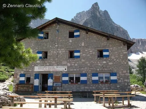
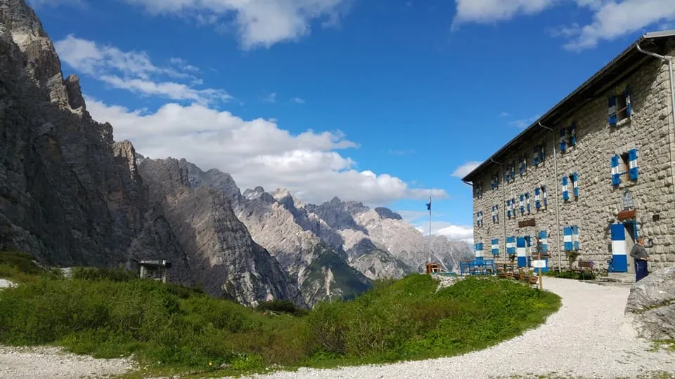
> Stay in scenic huts like Auronzo, Vandelli, and Galassi
> Traverse the raw heart of the Dolomiti d’Ampezzo Natural Park

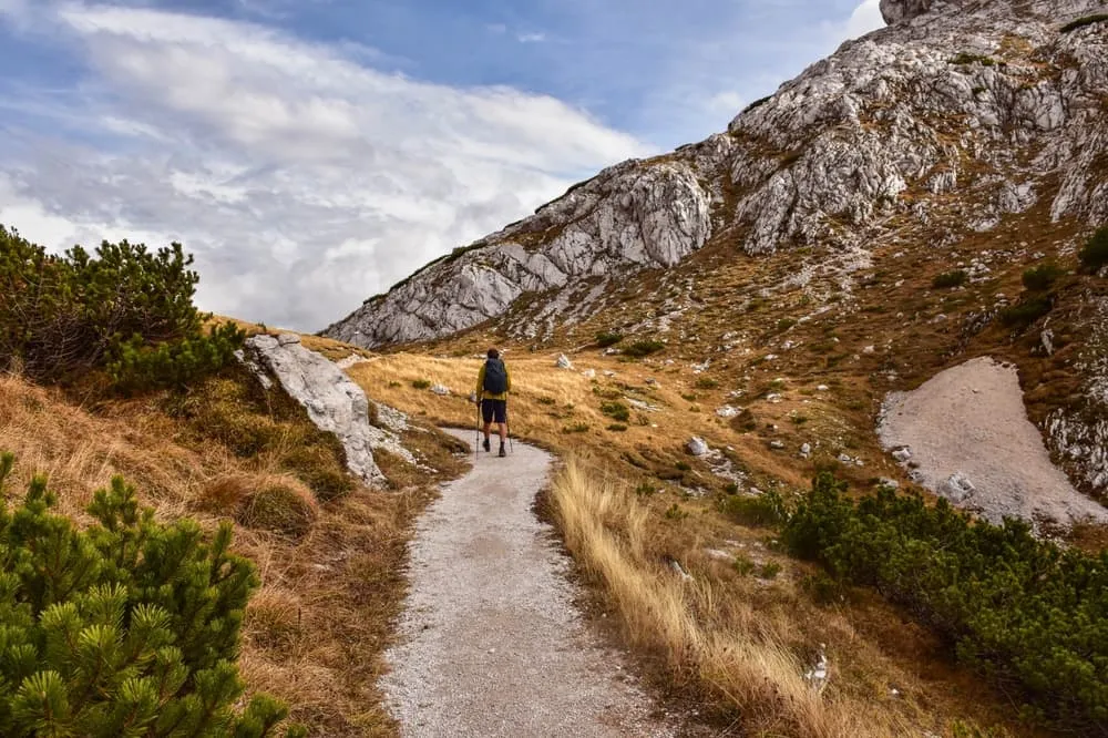
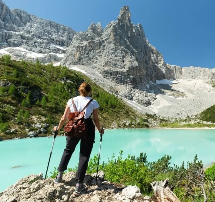
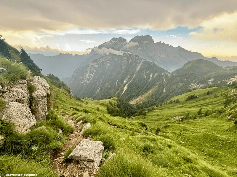
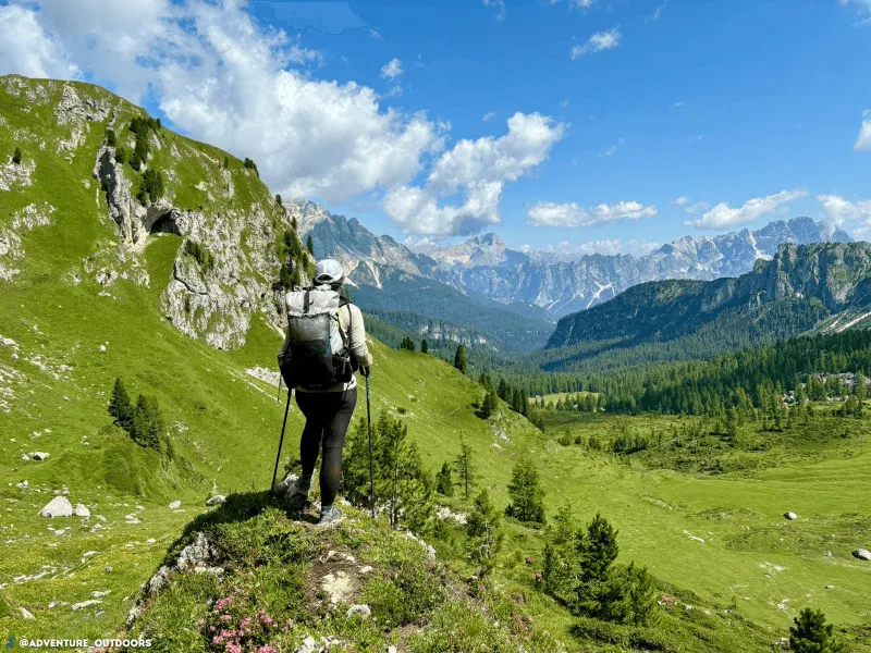
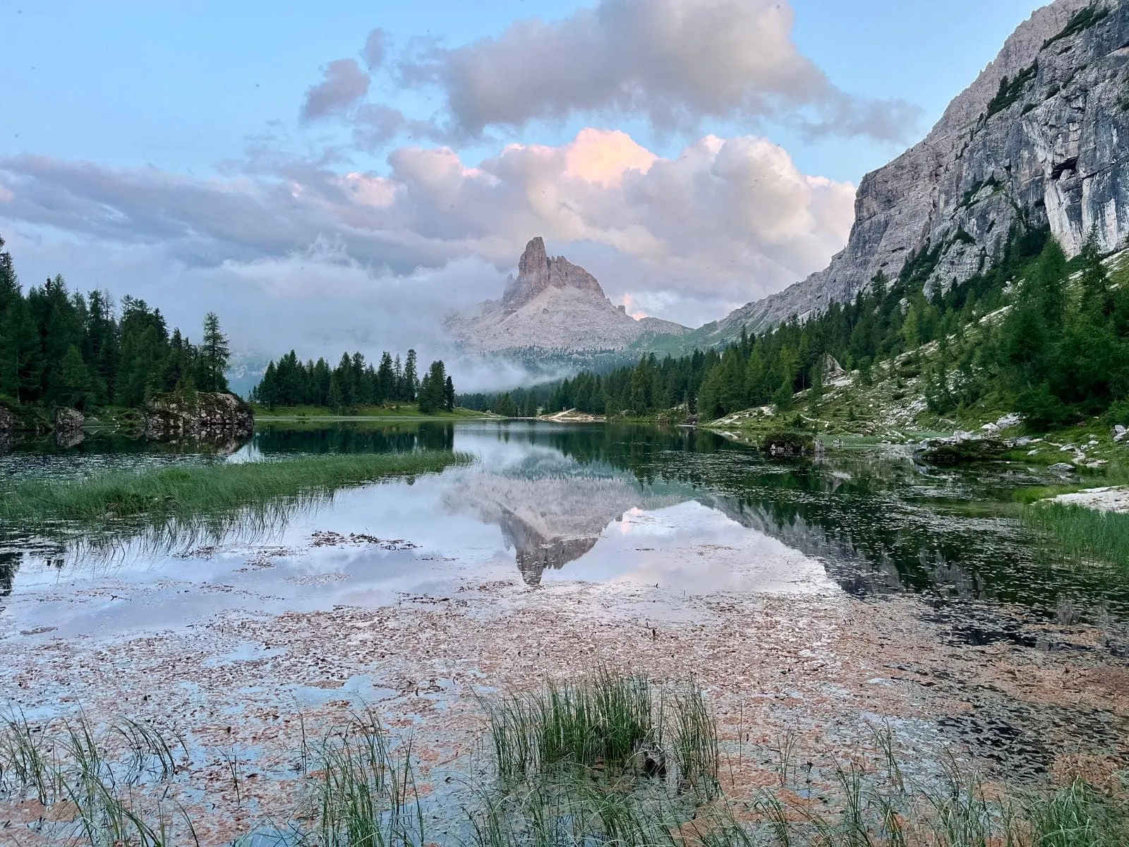
Ready to dial things up a notch? The Alta Via 4 is the wild sibling in the Dolomites family. Less walked than AV1 and AV2, but just as jaw-dropping, if not more. This 5-day adventure starts in San Candido and finishes in Pieve di Cadore, slicing through the Dolomiti d’Ampezzo via the towering Cima Grande, the shimmering Lago di Misurina, and the turquoise waters of Lago di Sorapiss with the iconic Dito di Dio watching over.

You’ll be sleeping high and rugged in huts like Rifugio Auronzo, Vandelli, or Galassi. Between them? Exposed ridgelines, high passes, and views that feel too good to be real. On day 4, you’ll face a dramatic and famous alpine challenge: Via Ferrata Alfonso Vandelli, a short but serious section (rated T5) right after leaving Rifugio Vandelli, recommended only for experienced hikers with a head for heights.

Alta Via 4 is not for the faint-hearted, but for those with solid footing and alpine guts. Five days, countless thrills, and a ticket into the wilder Dolomites.

Itinerary

Day
1

San Candido - Rifugio Auronzo

Duration: 06:10 h
Distance: 15.5 km
Ascent: 1300 m
Descent: 260 m
Lowest Point: 1260 m
Highest Point: 2460 m

The trek begins in the peaceful alpine meadows just outside San Candido, where you will enjoy a gentle, gradual ascent through the green pastures of the valley. During the first half of the hike, the elevation gain is gradual, allowing you to ease into the rhythm of the Alta Via 4 trail. The trail then leads you into the protected area of the Tre Cime Nature Park, which is teeming with biodiversity.

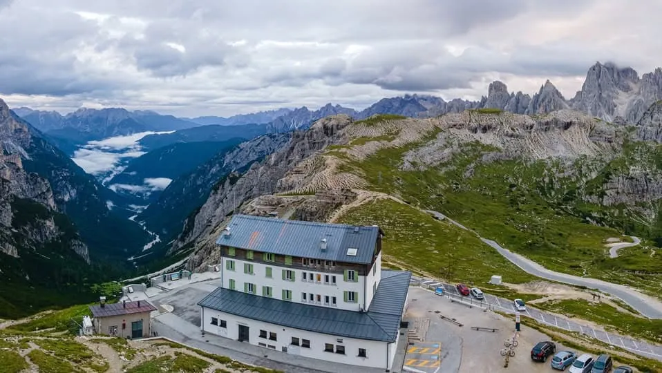
Around halfway through the hike, the terrain becomes steeper and more rugged as you begin the real ascent. At around 10.5 km, you will be rewarded with incredible views of the Tre Cime di Lavaredo. This tranquil spot is ideal for a rest and to take photos, away from the crowds. From here, you can enjoy stunning vistas of the peaks as you approach Rifugio Antonio Locatelli — the perfect place to pause and take in your surroundings. The iconic Tre Cime will accompany you for the rest of the hike, looming large on the horizon.

When you are about 1.5 km from Rifugio Auronzo, where you will be staying tonight, take trail number 9 to the right and you will soon reach the small Maria Ausiliatrice chapel. Follow the signs to the hut, which is located in one of the most famous spots in the Dolomites.

Rifugio Auronzo

Info
Rifugio Auronzo
Rifugio Auronzo
Day
2

Rifugio Auronzo - Rifugio Citta di Carpi

Duration: 04:15 h
Distance: 7.7 km
Ascent: 570 m
Descent: 760 m

The day begins with a scenic, undulating stretch that sets the scene for the rugged beauty that lies ahead. Early on, the trail passes over rocky crests, offering panoramic views of the imposing Cadini di Misurina peaks. This challenging section provides an insight into the alpine terrain ahead. Shortly afterwards, you will reach the Rinbianco Pass, an important trail junction, where you will continue heading south. Not far from here, the welcoming Fonda Savio Hut is the perfect place to take a short break before moving on.

Around halfway through the stage, the route continues to ascend and becomes more challenging, with snow patches lingering well into summer. Here, you will reach the day's highest point: Forcella del Nevaio, standing at 2,620 metres and surrounded by towering walls.

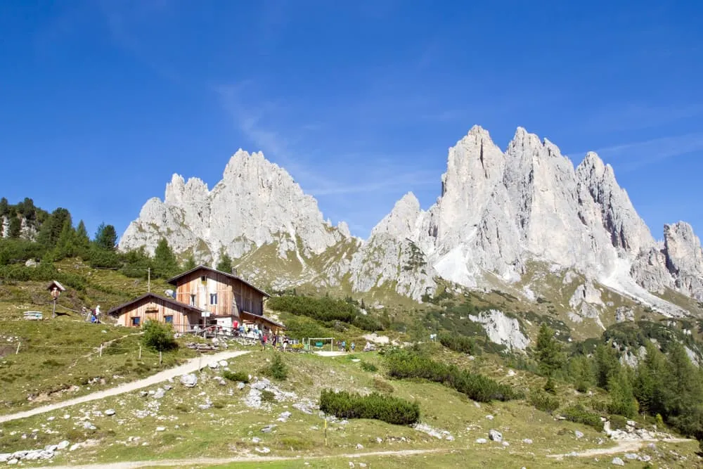
The subsequent descent is steep and sustained, easing off at times before you reach your destination. Rifugio Città di Carpi, lovingly run by a family, welcomes you with open arms and is the perfect place to relax after this memorable stage.

Rifugio Citta di Carpi

Info
Rifugio Citta di Carpi
Day
3

Rifugio Citta di Carpi - Rifugio Vandelli

Duration: 05:20 h
Distance: 14.2 km
Ascent: 680 m
Descent: 850 m

The trail starts at Rifugio Città di Carpi and quickly begins a long descent. Early on, you will circle just below Punta Col de Varda (2,504 m), keeping it on your right as you gradually descend towards the Misurina basin. The stunning Lago di Misurina awaits you at the bottom, surrounded by forest and mountain peaks.

After taking in the atmosphere and perhaps grabbing a quick refreshment, the trail continues through peaceful terrain. You may encounter mountain bikers in this area, near and around the lake. Later, at the lowest point of the day, you will reach a viewpoint in Valbona with stunning vistas of Mount Sorapiss in the distance.

The final 2 kilometres involve a sustained ascent through forest and rocky terrain. On this stretch, you will pass a viewpoint overlooking a waterfall, offering a glimpse of what is to come. Then, suddenly, Lago di Sorapiss comes into view: turquoise, calm and unforgettable. Rifugio Vandelli is located nearby, nestled beside the lake. It's a special place to end a beautiful day.

Rifugio Vandelli

Info
Rifugio Vandelli
Rifugio Vandelli
Day
4

Rifugio Vandelli - Rifugio Galassi

Duration: 08:10 h
Distance: 14 km
Ascent: 1240 m
Descent: 1150 m

Starting at the shores of Lake Sorapiss and the Dito di Dio (2,603 m), the trail quickly ascends rocky terrain to reveal a grey, lunar landscape, bringing you into a wild and rugged alpine world. This stage involves repeated ascents and descents, with several sections requiring concentration and steady footing.

The Ferrata Vandelli is one of the most dramatic sections of the Alta Via 4. After an impressive aerial passage, turn around to enjoy the breathtaking view of Lake Sorapiss, which will warm your heart despite the ropes and ladders. Here, the silence is broken only by your footsteps and the whistling wind.

You will then descend into a rugged valley and continue alongside it until you reach Punta Tre Sorelle (3,005 m) on your right. Punta Sorapiss (3,205 m) will remain visible in the distance on the opposite side. After negotiating some steep and challenging stretches, the terrain softens as you approach the San Marco Refuge, which is ideal for a rest stop.

Eventually, you will arrive at Forcella Piccola (2,120 m), a wide saddle at the head of the Val d'Oten. Just as your legs start to protest during the final ascent to Rifugio Pietro Galassi, the impressive north face of Monte Antelao comes into view. It's a powerful sight with which to end the day. Rifugio Galassi is located right beneath it, providing the perfect spot to enjoy the sunset.

Rifugio Pietro Galassi

Info
Rifugio Pietro Galassi
Day
5

Rifugio Galassi - Pieve di Cadore

Duration: 08:20 h
Distance: 19.5 km
Ascent: 850 m
Descent: 2000 m

On your final day on the Alta Via 4, you will start beneath the imposing Antelao massif. From Rifugio Galassi, the route heads southeast through rocky terrain, passing two glaciers: the Ghiacciaio Inferiore dell'Antelao and the Ghiacciaio Superiore dell'Antelao. Be prepared for a challenging section here that requires care and concentration. There is a viewpoint at Punto Essa. You will then reach Forcella Piria, a high, wild saddle between Tamburlon and Crode de San Pietro, which offers one last panoramic view of the Dolomites.

Once you have crossed the pass, the trail begins a long, steady descent. As the scenery softens, you will walk through wooded areas and approach the picturesque Rifugio Antelao. This is a great place to rest before tackling the final stretch. From here, the terrain becomes gentler, with gravel paths and woodland trails winding through small alpine settlements and past scenic viewpoints.

The zigzag descent continues through the quiet village of Pozzale di Cadore and via several forest switchbacks. As you approach the end of the trail, you will catch glimpses of the rooftops of Pieve di Cadore below and Piave Lake. The final descent is a satisfying symbolic return to civilisation after five days in the heart of the wild Dolomites.

Included

  • Full travel guide

    You’ll receive access to our trekking app, which serves as your complete digital travel guide for the Alta Via 4. Inside, you’ll find everything you need for your trek: route descriptions, hiking maps, navigation support, payment information, and all the key details specific to your journey.

  • Accommodation

    During your Alta Via 4, you will spend your nights in mountain huts. In the mountain huts we normally only book dormitories, but we can look into private rooms on request. If the private rooms are fully booked or not available in the hut, we automatically book a bed in dormitories for you. Please note that private rooms are more expensive and there will be an additional charge for this.

  • Half-board in Huts

    Accommodation at the huts includes dinner and breakfast. We will arrange this for you as well. This allows you to travel lighter and have one less thing to worry about. Bear in mind that lunch is not included, but it can be purchased at the huts. Here you can also buy an array of snacks and bottled water.

  • Navigation support

    Our trekking app also includes built-in navigation support. With GPS-based maps and offline access, you can follow the trail confidently and stay on route even without mobile signal.

Excluded

  • Traveling to and from

    You have to make your own way to the starting point. The total amount does not include personal transport.

  • Transfers

    Should you need any form of (public) transport on location, this is not part of the trekking package. This includes the use of taxi, bus, cable cars, gondolas, ferries, etc.

  • Lunch

    Half-board is included in the price of this trek. Lunch, however, is not. You can get something to eat at the mountain huts along the way.

  • Travel Insurance

    Your international travel insurance is your own responsibility. Discuss your itinerary with the insurance company before your trek.

  • Personal expenses

    Personal expenses on such as souvenirs, drinks, and other similar expenses are for your own account.

  • Via Ferrata equipment

    Via Ferrata equipment (helmet, harness, via ferrata set) are not included in the price, but will be available for rent in the town(s) close to the starting point.

FAQ

  • Ho to Get to the Starting Point of the Alta Via 4

  • Endpoint: Pieve di Cadore

  • What if the dates I want are not available?

  • If I book now, can I immediately arrange the rest of my trip?

  • How do I know if this trek is right for me?

How to Book

  • Booking

  • Availability

  • Cancellation policy