Preferred date sold out?
Discover our trekking adventures in Italy with availability in August, September or October and secure your spot before it’s too late!

Intermediate Alta Via della Marmotta

Duration: 3 days
Trails: T2 trails
Distance: 10 - 15 km per day
Ascent per day: 500 - 1000 m ascent per day

> Panoramic views of Antelao, Marmarole, and hidden alpine gems
> Quiet trails with a real sense of discovery—far from the crowds
> Crafted by Bookatrekking.com for hikers who like a little challenge

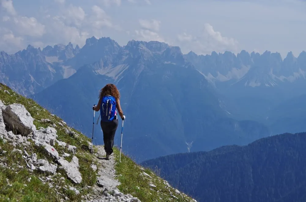
Skip the crowds on the Alta Via 1 and 2 — this 3-day adventure offers a wilder, quieter slice of the Dolomites. Designed for hikers with some experience, the Alta Via della Marmotta delivers stunning views, remote valleys, and high mountain passes in a compact, rewarding format. Picture yourself watching the sun rise over silent peaks, following winding trails through larch forests, and hearing nothing but the wind and your own footsteps.

The route covers 35 kilometers from San Vito to Auronzo, with plenty of elevation and a challenging second day that stretches up to 8 hours. Along the way, you’ll pass roaring waterfalls like Cascata delle Pile, take in the still beauty of Santa Caterina Lake, and recharge with hearty mountain meals in cozy rifugios as the stars appear overhead. It’s tough at times, but every step is worth it.

The best time to hike is from mid-June to late September. You won’t need technical gear, but strong legs and some mountain experience are a must. This isn’t your first hike — it’s the one that makes you fall even deeper in love with trekking.

Itinerary

Day
1

San Vito di Cadore - Rifugio Pietro Galassi

Duration: 04:30 h
Distance: 7.5 km
Ascent: 1110 m
Descent: 100 m

The Alta Via della Marmotta kicks off in the village of San Vito di Cadore, which is just a 20-minute bus ride away from Cortina d’Ampezzo, and is surrounded by famous Dolomite peaks like Antelao and Pelmo. The trail officially begins at Via Belvedere, which takes you straight into the mountains. Your first stop? Rifugio Scotter-Palatini, where you can take a breather, enjoy a snack, and refill your water bottles before diving deeper into the adventure.

The journey continues along mountain paths with great views of Antelao. After traversing Forcella Piccola, a broad saddle atop Val d’Oten, you'll reach Rifugio Galassi, perched on the northern slopes of Antelao. This rifugio, which is also part of the Alta Via 4, is your accommodation for the night.

Rifugio Pietro Galassi

Info
Rifugio Pietro Galassi
Day
2

Rifugio Pietro Galassi - Rifugio Baion (without cables)

Duration: 07:50 h
Distance: 15.5 km
Ascent: 920 m
Descent: 1120 m

From Rifugio Galassi, it’s a relaxed two-hour descent to Rifugio Capanna degli Alpini. Before moving on, take a quick detour—a short ten-minute walk brings you to Cascata delle Pile, a stunning waterfall that adds a little extra magic to this stage.

After that, the trail follows the Torrente Oten, a river that has shaped the Val d’Oten for centuries. It’s an easy downhill stretch before crossing the stream, where the climb begins.

The ascent leads to Rifugio Chiggiato, perched in the Marmarole Centrali. This is a perfect spot to pause, refuel with some local dishes, and soak up the views from the terrace. With the Marmarole and Antelao towering around you, it’s the kind of place where you’ll want to stay a little longer.

From here, there are two possible routes to Rifugio Baion. One is a higher-altitude trail that includes a rocky section with fixed cables along the southern wall of the Marmarole—more adventurous, but also more demanding. The other, described here, is a lower-altitude alternative that avoids the most challenging terrain. It leads towards Casera D’Aieron and continues along rugged but manageable paths. Although the terrain still requires surefootedness, there are no exposed sections or cables.

Note: Both options are included, so if you prefer the more challenging route, you’re free to choose that one instead.

Rifugio Baion

Info
Rifugio Baion
Rifugio Baion
Day
3

Rifugio Baion to Auronzo di Cadore

Duration: 05:00 h
Distance: 11.9 km
Ascent: 210 m
Descent: 1170 m

This is it, your final stretch on the Alta Via della Marmotta! It’s mostly downhill today, so take it easy on your knees and enjoy the ride.

About an hour in, you’ll reach Rifugio Carducci, a good stop for a coffee. Further along the trail, Rifugio Ciaréido offers another chance for a snack or water refill before continuing north toward Rifugio Monte Agudo.

After passing Pian de la Mandra, you’ll arrive at Rifugio Monte Agudo, your last hut on the route. If you want to give your legs a rest, you can take the chairlift from here down to Auronzo. You can also hop on a bit further down at Malon Basso, just below the rifugio. The chairlift operates from mid-June to mid-September, so check the schedule if you're hiking early or late in the season.

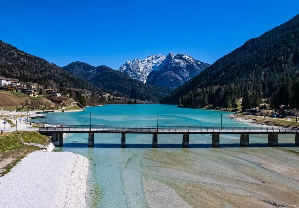
If you choose to continue on foot, the trail winds through valleys and forests and then follows the shoreline of Santa Caterina Lake. Take a moment to enjoy the view across the water. From there, it’s a short walk into Auronzo di Cadore, where your adventure comes to an end.

Included

  • Full travel guide

    You’ll receive access to our trekking app, which serves as your complete digital travel guide for the Alta Via della Marmotta. Inside, you’ll find everything you need for your trek: route descriptions, hiking maps, navigation support, payment information, and all the key details specific to your journey.

  • Accommodation

    During your Alta Via della Marmotta, you will spend your nights in mountain huts. In the mountain huts we normally only book dormitories, but we can look into private rooms on request. If the private rooms are fully booked or not available in the hut, we automatically book a bed in dormitories for you. Please note that private rooms are more expensive and there will be an additional charge for this.

  • Half board (where possible)

    Accommodation in the huts includes dinner and breakfast, unless otherwise indicated in the exclusive list. This allows you to travel lighter and not have to worry about an extra meal. Please note, however, that lunch is not included, but can be purchased at the huts.

  • Navigation support

    Our trekking app also includes built-in navigation support. With GPS-based maps and offline access, you can follow the trail confidently and stay on route even without mobile signal.

Excluded

  • Traveling to and from

    You have to make your own way to the starting point. The total amount does not include personal transport.

  • Transfers

    Should you need any form of (public) transport on location, this is not part of the trekking package. This includes the use of taxi, bus, cable cars, gondolas, ferries, etc.

  • Lunch

    Half-board is included in the price of this trek. Lunch, however, is not. You can get something to eat at the mountain huts along the way.

  • Travel Insurance

    Your international travel insurance is your own responsibility. Discuss your itinerary with the insurance company before your trek.

  • Personal expenses

    Personal expenses on such as souvenirs, drinks, and other similar expenses are for your own account.

  • Accommodation before and after the trek

    Before and after the Alta Via della Marmotta, you have to take care of your own accommodation.

  • Drinks at Rifugio Pietro Galassi

    Drinks are not included in half board and must be paid for separately on site.

FAQ

  • Is the Alta Via della Marmotta for Me? - Difficulty

  • In Which Season Should I Hike the Alta Via della Marmotta?

  • How to Get To the Starting Point of the Alta Via della Marmotta

  • How to Get From the Endpoint Back to Cortina D’Ampezzo

  • What if the dates I want are not available?

  • If I book now, can I immediately arrange the rest of my trip?

  • How do I know if this trek is right for me?

How to Book

  • Booking

  • Availability

  • Cancellation policy