Ultimate Alta Via della Marmotta

  • Duration
    Total 5 days
    Average 5 h 13m
  • Distance
    Total 57.9 km
    Average 11.6 km
  • Ascent
    Total +3330 m
    Average +666 m
  • Descent
    Total -4210 m
    Average -842 m

> Traverse the iconic Cinque Torri and sleep at Rifugio Croda da Lago
> Cross the Boite valley into the quiet Cadore region
> Rocky, exposed passages with fixed cables for an extra challenge

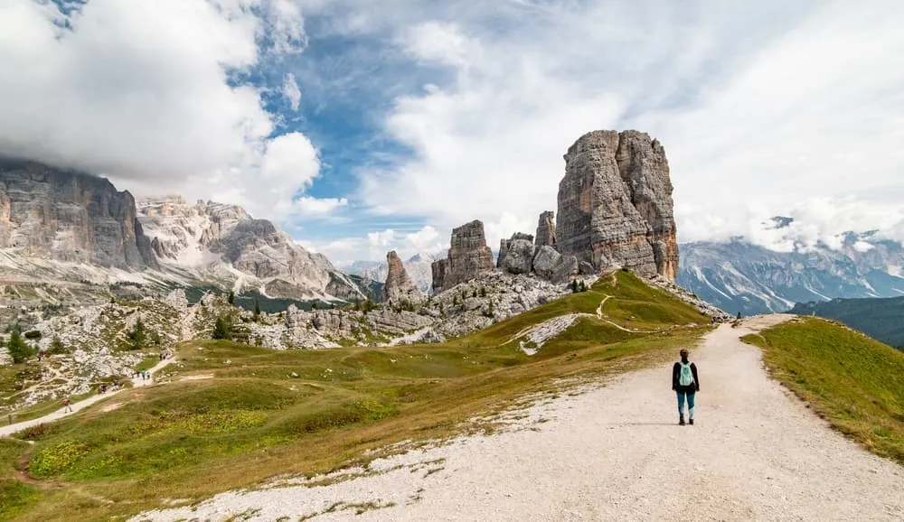
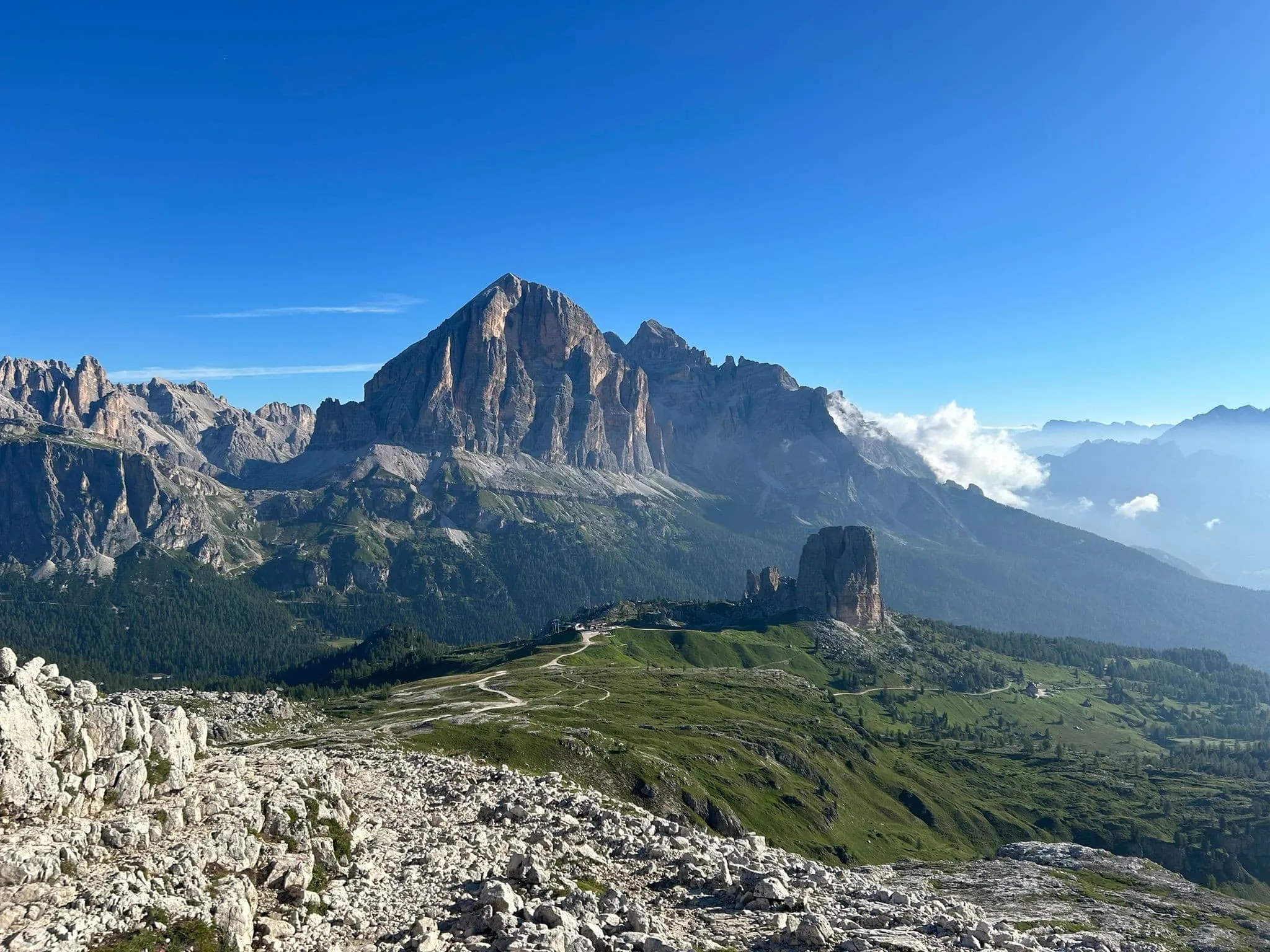
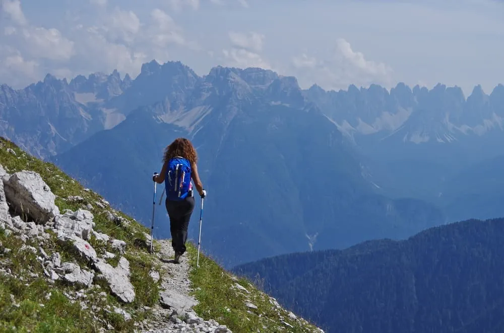
Picture this: You’re sipping a cappuccino with the Cinque Torri in the morning light, then hiking through larch forests until the Dolomites open up again and again in scenes so stunning you’ll forget to breathe. This is Alta Via della Marmotta, a fresh and fierce 5-day journey that weaves through cinematic landscapes and legendary huts.

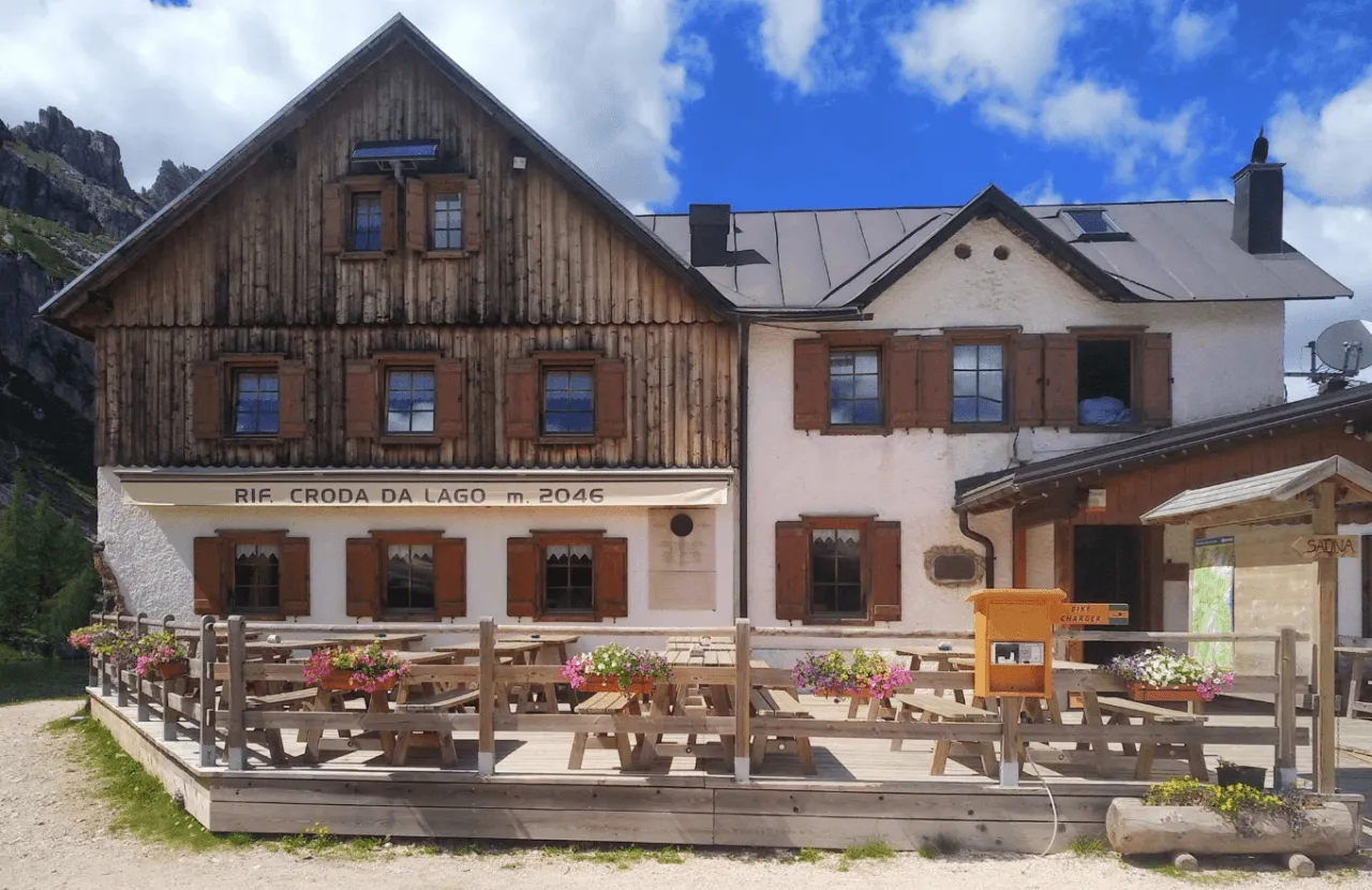
Start at Passo Falzarego, swing by the legendary Cinque Torri, and stay a night at Rifugio Croda da Lago, nestled by an alpine lake that seems straight out of a dream. Then cross the Boite valley, past San Vito di Cadore, and dive into the wilder Cadore region with its quiet trails and scenic gems like Rifugio San Marco, Chiggiato, and Baion. Along the way to Rifugio Baion, you'll encounter around four to five short, rocky and exposed sections equipped with fixed cables. These passages range from easy to intermediate in difficulty and do not require special technical equipment, but sure-footedness and a good head for heights are essential. You'll wrap things up in style in Auronzo di Cadore. It's got some of the best ingredients of the Alta Via 1, plus a few that are even better.

This trek is perfect for experienced hikers who want to skip the crowds but still score the views. You'll walk about 12–15 kilometers per day, across mixed terrain that includes some more challenging alpine sections, with plenty of rifugio comfort waiting for you each evening. Let's go. This is your Italian hiking highlight reel.

Itinerary

Day
1

Cortina d'Ampezzo - Rifugio Croda da Lago (With Bus)

Duration: 04:55 h
Distance: 10.8 km
Ascent: 910 m
Descent: 600 m

From Cortina d'Ampezzo, you have two ways to begin your adventure: take on the full challenge with a steep, rewarding hike, or make the journey more relaxed by using public transport to cover part of the distance.

If you opt for the easier start, hop on bus 052 from Cortina d'Ampezzo to Parcheggio Rio Bianco. You can plan your route here. Once you reach the stop, your trek begins with a scenic ascent leading to one of today’s highlights: Cinque Torri.

Taking the bus is a smart move, since it gives you more time and energy to explore the iconic Cinque Torri, a rocky formation that’s become a symbol of the Dolomites. After soaking in the views, continue your hike for another three hours towards Croda da Lago by Lago Federa, where your accommodation awaits.

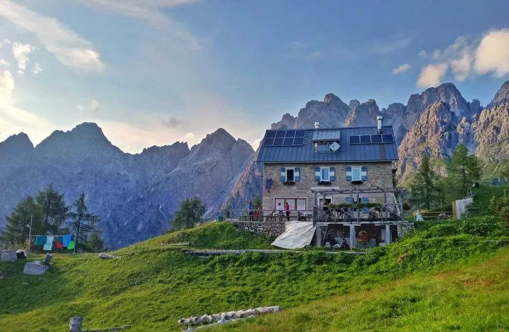
Rifugio Croda da Lago

Info
Rifugio Croda da Lago
Day
2

Rifugio Croda da Lago - Rifugio San Marco

Duration: 06:15 h
Distance: 13.9 km
Ascent: 920 m
Descent: 1160 m

This stage takes you from Rifugio Croda da Lago to Rifugio San Marco, combining a long descent with a substantial climb towards the finish. The route covers 13.9 km, with 920 m of ascent and 1,160 m of descent. You start high in the mountains, gradually losing elevation as you head towards San Vito di Cadore. After reaching the valley, the route climbs steadily back into the mountains. Expect a varied stage with considerable elevation changes and mountain scenery along the way.

Leaving Rifugio Croda da Lago, you follow the trail eastwards, initially descending gradually across the mountainside. The route passes below Col Jarinei and continues through the area around Becco d'Ai, where the descent becomes more pronounced. Further along, you approach the descent towards San Vito di Cadore, passing near the Ceralba Bridge before reaching the lower slopes above the village. This section takes you from high mountain terrain down towards the valley, with views of the surrounding peaks and the settlement below.

From the valley, the route turns uphill again towards Rifugio San Marco. The final kilometres involve a sustained ascent, with some sections following narrow trails across steep slopes with loose rocks underfoot. Take your time here, watch your footing and move carefully, especially where the path becomes thinner or the ground is unstable. After this final climb, you reach Rifugio San Marco, where you can settle in and recover from the substantial elevation changes.

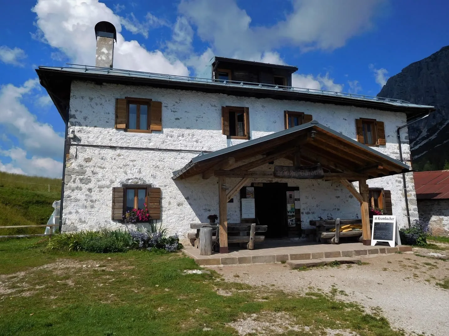
Rifugio San Marco

Info
Rifugio San Marco
Rifugio San Marco
Day
3

Rifugio San Marco - Rifugio Chiggiato

Duration: 06:50 h
Distance: 14.4 km
Ascent: 1070 m
Descent: 980 m

This stage from Rifugio San Marco to Rifugio Chiggiato combines a mountain pass, a long descent and a demanding final climb. The route covers 14.4 km, with 1,070 m of ascent and 980 m of descent. You start by climbing towards Forcella Piccola before descending into Val d'Oten. Although much of the middle section is downhill, save plenty of energy for the final kilometres. The toughest climb comes at the very end, when you gain considerable elevation over a relatively short distance towards Rifugio Chiggiato.

Leaving Rifugio San Marco, the trail heads towards Forcella Piccola, with views of the impressive Antelao massif along the way. The ascent towards Rifugio Galassi follows a series of zigzagging paths across rocky, scree-covered terrain, where careful footing is important. After reaching the higher section near Forcella Piccola and Rifugio Galassi, you begin a long descent into Val d'Oten. The route passes Rifugio Capanna degli Alpini and the nearby Pile Waterfall before continuing along the valley, gradually losing elevation until you reach the lowest point of the route.

From the valley, the route turns sharply uphill towards Rifugio Chiggiato. This is the most strenuous section, with a steep ascent that gains several hundred metres over a relatively short stretch. The climb follows wooded slopes and requires a steady effort, especially after the long descent earlier in the route. Take your time and allow for short breaks if needed. Once you reach Rifugio Chiggiato, you can finally put your feet up after a particularly demanding finish.

Rifugio Chiggiato

Info
Rifugio Chiggiato
Rifugio Chiggiato
Day
4

Rifugio Chiggiato - Rifugio Baion (with fixed cables)

Duration: 02:00 h
Distance: 5.1 km
Ascent: 130 m
Descent: 200 m

From Rifugio Chiggiato, it’s a steady two-hour hike to Rifugio Baion, your stop for the night. The trail follows a higher-altitude route along the southern wall of the Marmarole, with around four to five short, rocky and exposed sections equipped with fixed cables to help you navigate the trickier passages. These sections range from easy to intermediate in difficulty and do not require any special equipment, but you should be comfortable on rocky terrain and have a good head for heights. Extra caution is advised in rainy or wet conditions, as both the rocks and cables can become slippery. These cabled passages add a touch of adventure to the final stretch before reaching Rifugio Baion.

Rifugio Baion

Info
Rifugio Baion
Rifugio Baion
Day
5

Rifugio Baion - Auronzo di Cadore

Duration: 06:05 h
Distance: 13.7 km
Ascent: 300 m
Descent: 1270 m

This is your final stretch on the Alta Via della Marmotta. It is mostly downhill today, but do not treat it as an easy stroll. The descent is long and, in places, requires careful footing. Along the trail, Rifugio Ciaréido offers a good spot for a snack or water refill before continuing north towards Rifugio Monte Agudo.

After passing Pian de la Mandra, you’ll arrive at Rifugio Monte Agudo, your last hut on the route. From here, you can continue down to Auronzo on foot or give your legs a rest by taking the Malon chairlift. You can also board the Taiarezze chairlift a little further down at Malon Basso. The lifts usually operate from mid-June to mid-September, so check the schedule here if you're hiking early or late in the season.

Another fun way to finish the trek is by taking the Monte Agudo Slide down the mountain. You can find more information, including opening times and prices, on the Monte Agudo website.

If you choose to continue on foot, the trail winds through valleys and forests but be prepared for some narrow paths, with steep and exposed sections where there may be little to hold onto. Take your time here, keep your focus, and avoid rushing!

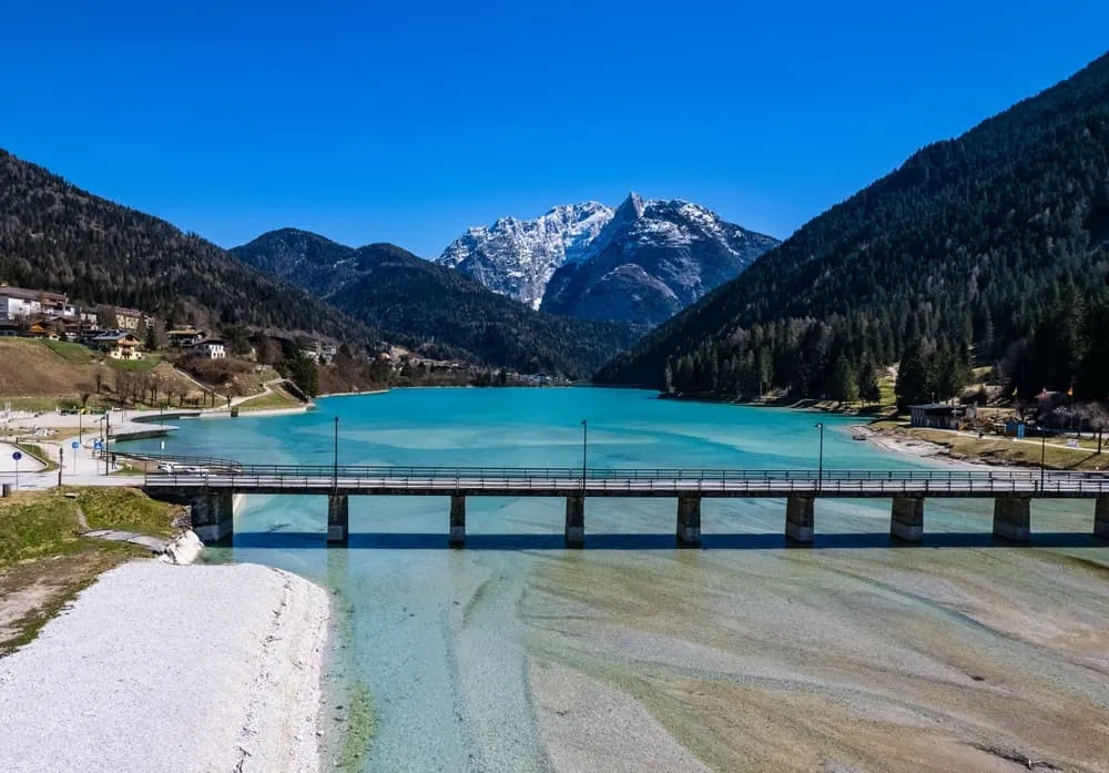
After these forest and valley sections, the route follows the shoreline of Santa Caterina Lake at the very end. Take a moment to enjoy the view across the water. From there, it’s a short walk into Auronzo di Cadore, where your adventure comes to an end.

Contact our Trekking Expert
Jelle Tekstra
Jelle Tekstra
Jelle Tekstra

Included

  • Full travel guide

    You’ll receive access to our trekking app, which serves as your complete digital travel guide for the Alta Via della Marmotta. Inside, you’ll find everything you need for your trek: route descriptions, hiking maps, navigation support, payment information, and all the key details specific to your journey.

  • Accommodation

    During your Alta Via della Marmotta, you will spend your nights in mountain huts. We normally book dormitories, but private rooms are available upon request and cost €75 extra per room per night. If no private rooms are available, we will automatically book a bed in a dormitory.

  • Half board in huts (where possible)

    Accommodation in the huts includes dinner and breakfast, unless otherwise indicated in the exclusive list. This allows you to travel lighter and not have to worry about an extra meal. Please note, however, that lunch is not included, but can be purchased at the huts. Beverages may also be charged separately at some huts.

  • Navigation support

    Our trekking app also includes built-in navigation support. With GPS-based maps and offline access, you can follow the trail confidently and stay on route even without mobile signal.

Excluded

  • Traveling to and from

    You have to make your own way to the starting point. The total amount does not include personal transport.

  • Transfers

    Should you need any form of (public) transport on location, this is not part of the trekking package. This includes the use of taxi, bus, cable cars, gondolas, ferries, etc.

  • Lunch

    Half-board is included in the price of this trek. Lunch, however, is not. Many huts offer packed lunches, which can usually be requested the night before. Alternatively, you can stop for lunch at mountain huts along the way.

  • Travel Insurance

    Your international travel insurance is your own responsibility. Discuss your itinerary with the insurance company before your trek.

  • Personal expenses

    Personal expenses on such as souvenirs, drinks, and other similar expenses are for your own account.

  • Accommodation before and after the trek

    Before and after the Alta Via della Marmotta, you have to take care of your own accommodation.

  • Drinks at Rifugio Pietro Galassi

    If Rifugio Pietro Galassi is part of your itinerary and you are spending the night there, please note that drinks are not included in half board and must be paid for separately on site.

FAQ

  • Is the Alta Via della Marmotta for Me? - Difficulty

  • In Which Season Should I Hike the Alta Via della Marmotta?

  • Getting to the Startpoint at Passo Falzarego

  • How to Get From the Endpoint Back to Cortina D’Ampezzo

  • What if the dates I want are not available?

  • If I book now, can I immediately arrange the rest of my trip?

  • How do I know if this trek is right for me?

  • Can meals be adapted to my dietary requirements?

How to Book

  • Booking

  • Availability

  • Cancellation policy