Destinations
Trekking type


GR20 Northern Half (from South to North)
> Tackle the northern half of the GR20
> Stay overnight in rustic mountain refuges
> Hike the trail from south to north
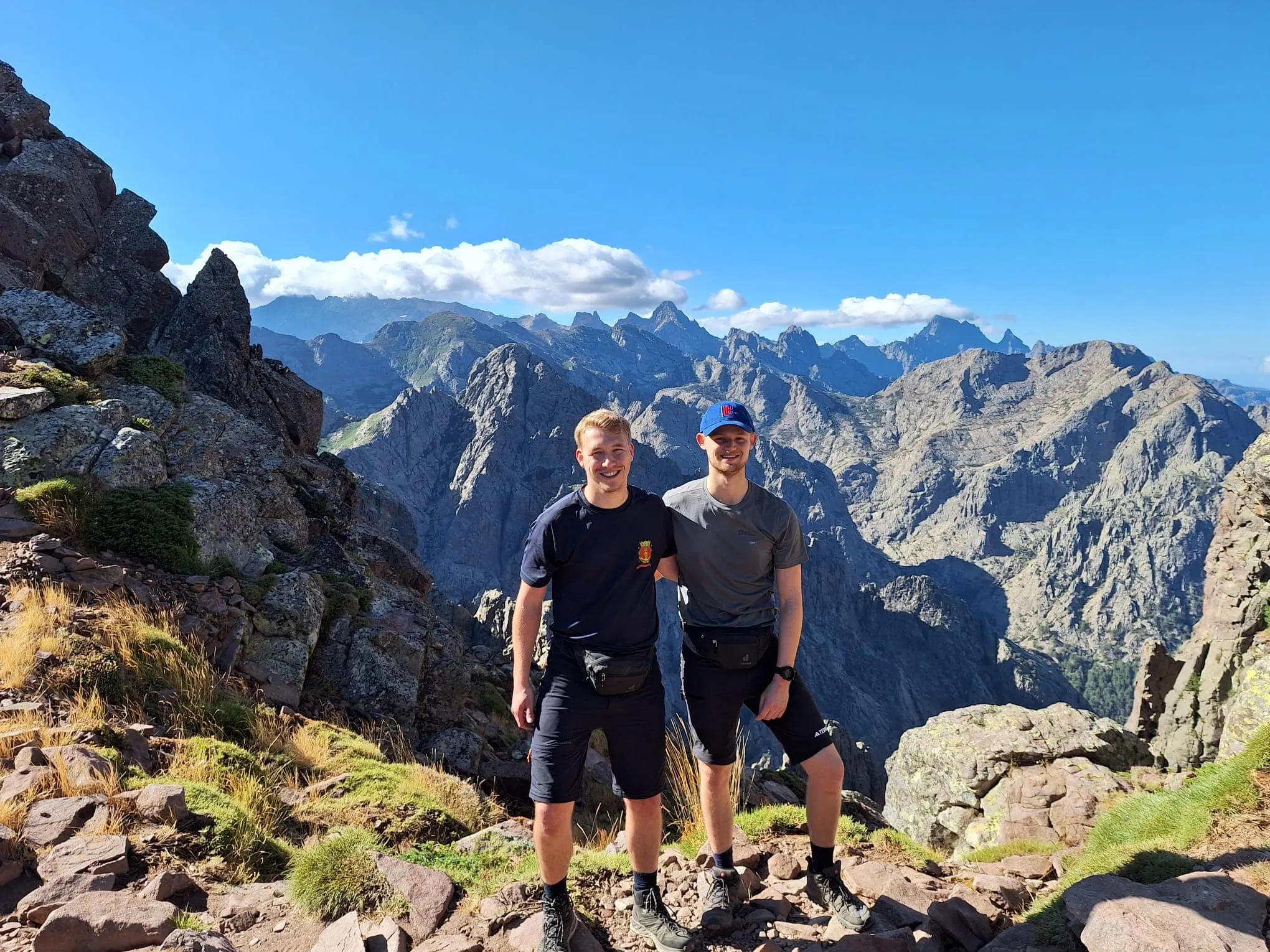
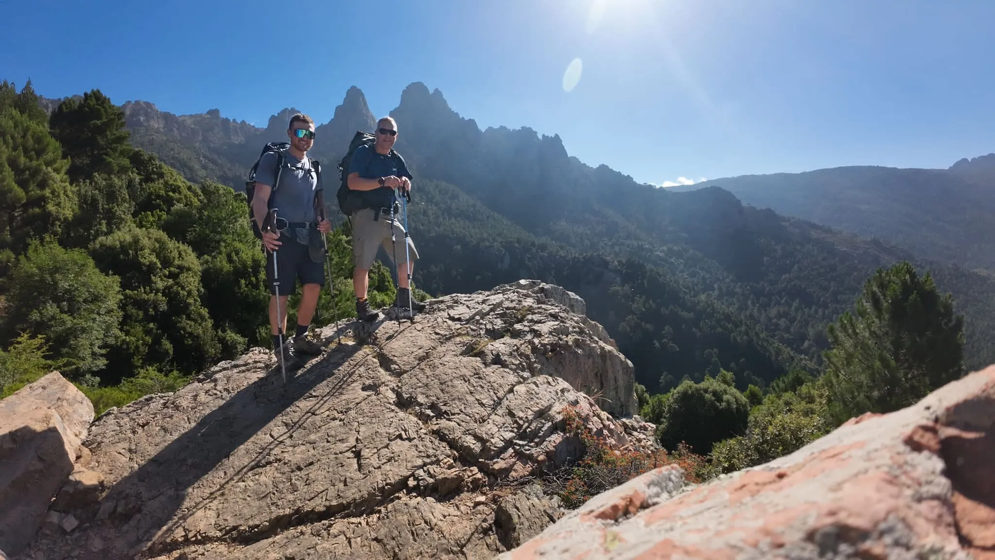
The GR20, known locally as *fra li Monti*, is a legendary long-distance hiking trail that traverses the rugged Mediterranean island of Corsica. Spanning roughly 180 km with a staggering 12,000 meters of elevation gain, it’s often hailed as the toughest GR trail in Europe.
Why Both Directions?
The GR20 can be hiked in either direction—north to south or south to north. While completing the entire trek takes about 15 days, you can opt for a shorter experience by dividing the trail into its northern and southern sections. The northern half, stretching over 9 days, begins in Vizzavona and takes you to Calenzana—or vice versa if you prefer. Known for its dramatic landscapes and steep ascents, this is the most challenging and popular segment of the GR20. Do you have what it takes to tackle this demanding adventure?
Camping: Prefer to camp along the trail? Many campsites are available! Contact our trekking experts to learn more about this option.
Itinerary
Included
-
Full travel guide
You’ll receive access to our trekking app, which serves as your complete digital travel guide for the GR20 . Inside, you’ll find everything you need for your trek: route descriptions, hiking maps, navigation support, payment information, and all the key details specific to your journey.
-
Accommodation on the GR20
We will arrange your accommodation on the GR20 in mountain huts. The mountain huts along the GR20 offer basic shared accommodation and food. These refuges come under the regional Corsican natural park’s authority and can host 25-50 people depending on the hut. In case the mountain huts are fully booked, we will automatically book a tent for you. In Refuge d'Ortu di u Piobbu, you will spend the night in a tent in all cases.
-
Navigation support
Our trekking app also includes built-in navigation support. With GPS-based maps and offline access, you can follow the trail confidently and stay on route even without mobile signal.
Excluded
-
Traveling to and from
You have to make your own way to the starting point. The total amount does not include personal transport.
-
Transfers
Should you need any form of (public) transport on location, this is not part of the trekking package. This includes the use of taxi, bus, cable cars, gondolas, ferries, etc.
-
Travel Insurance
Your international travel insurance is your own responsibility. Discuss your itinerary with the insurance company before your trek.
-
Personal expenses
Personal expenses on such as souvenirs, drinks, and other similar expenses are for your own account.
-
Meals
Meals are not included in the price on the GR20 . You can get something to eat at the mountain huts along the way or you can get food from the towns below the trail. If you want to have a warm dinner at the hut, remember to ask for it as soon as you get to the hut.
FAQ
What Is the Best Season for the GR20 on Corsica?
How to Get To the Starting Point of the Trek
How to Come Back at the End of the Trek
What if the dates I want are not available?
If I book now, can I immediately arrange the rest of my trip?
How do I know if this trek is right for me?
How to Book
Booking
Availability
Cancellation policy
Reviews

Reviews
Just for You
Get weekly inspiration with the best treks


