Preferred date sold out?
Discover our trekking adventures in Italy with availability in August, September or October and secure your spot before it’s too late!

Hardcore 2nd Half of Alta Via 2

Duration: 5 days
Trails: T4 trails
Distance: 15 - 20 km per day
Ascent per day: More than 1000 m ascent per day

> Conquer the toughest stretch of Alta Via 2
> Overnight in legendary rifugios like Volpi al Mulaz and Treviso
> We take care of your bookings and logistics

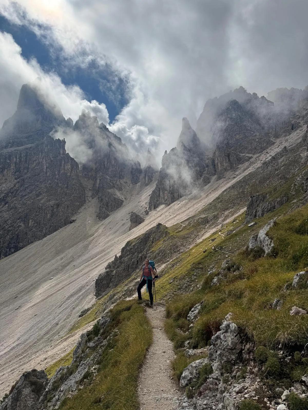
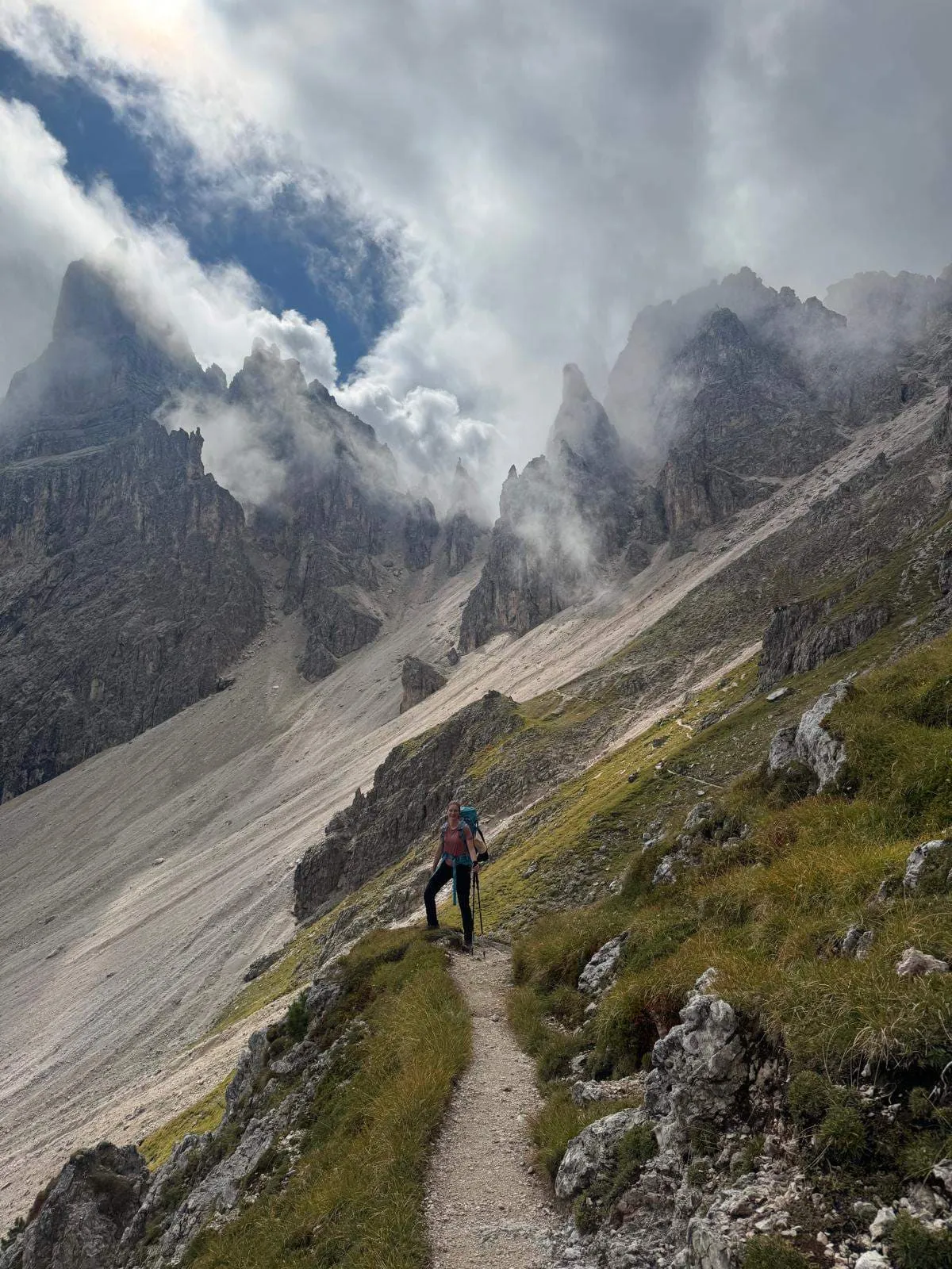
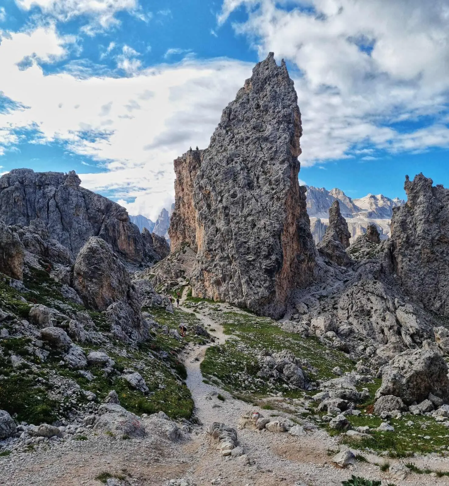
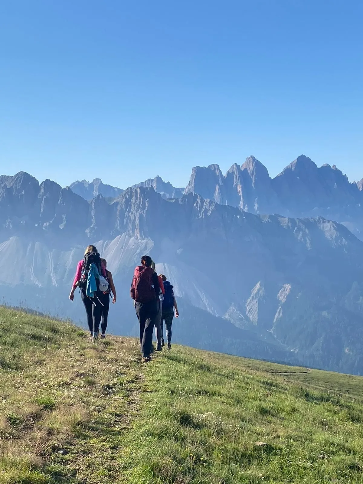
At the break of dawn, you're standing on the edge of Passo San Pellegrino. The air is thin, your boots are laced, and ahead lies five days of raw Dolomitic glory. Welcome to the most thrilling segment of Alta Via 2. No filler, no fluff. This is the heartbeat of the Pale di San Martino, a rugged terrain where the trails are steep, the exposure real, and the rewards sky-high.

This trek is not for the faint-hearted. We’re talking T4 hiking with sections where a via ferrata set is more than just handy—it’s essential. But in return, you’ll get spine-tingling ridgelines, intimate encounters with vertical rock faces, and legendary rifugios where polenta and red wine taste better than ever. Volpi al Mulaz. Treviso. And more. If you're looking for the real deal Dolomites, this is it.

Itinerary

Day
1

Passo San Pellegrino - Rifugio Volpi al Mulaz

Duration: 06:00 h
Distance: 13 km
Ascent: 990 m
Descent: 350 m
Lowest Point: 1900 m
Highest Point: 2550 m

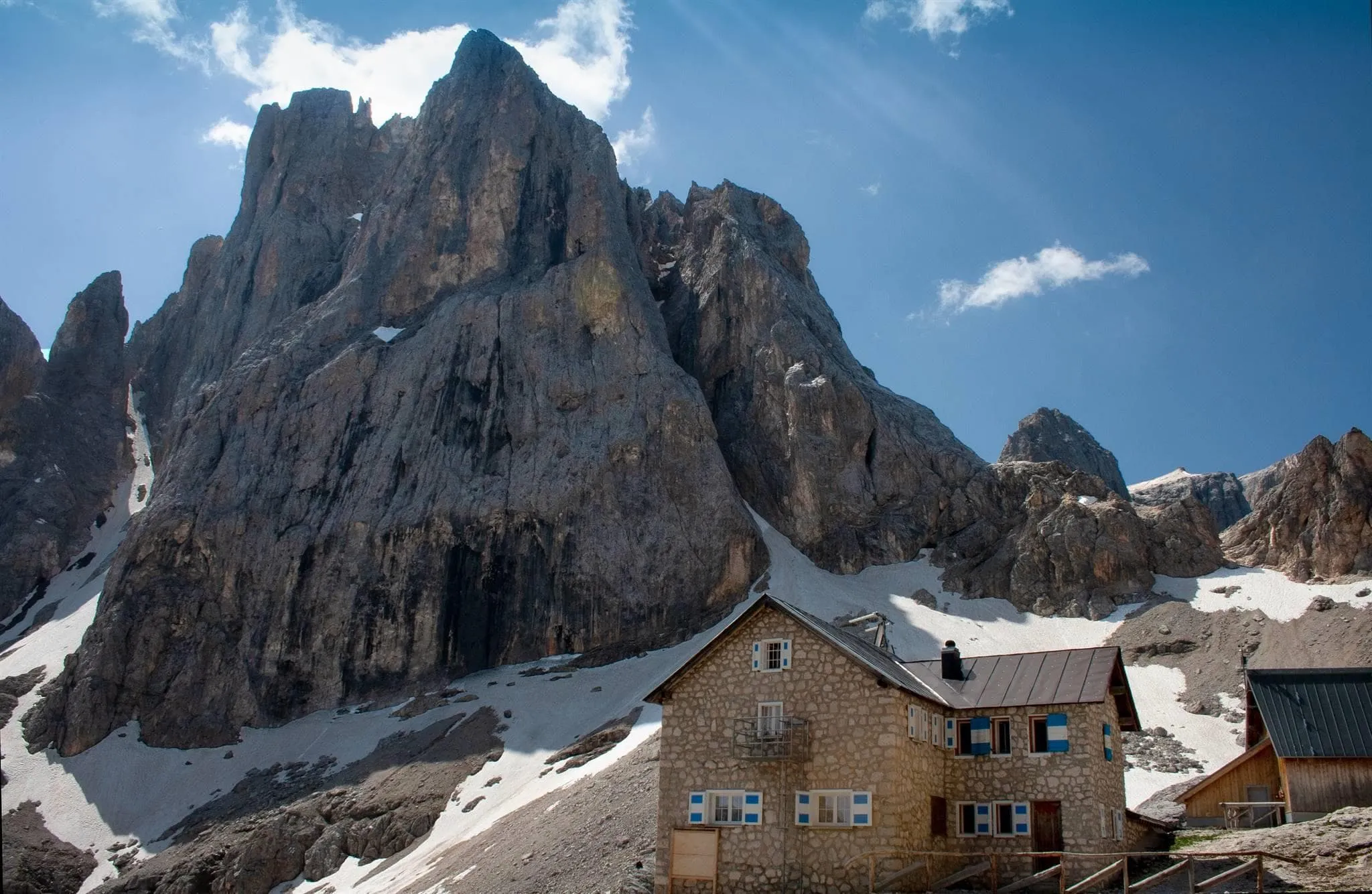
From Passo San Pellegrino (1,913 m), follow trail no. 658 to Passo Valles (2,032 m), then take trail no. 751 over Forcella Venegia and Forcella Venegiotta. After a short exposed section, reach Passo dei Fochet di Focobon (2,291 m) and ascend to Rifugio Volpi al Mulaz (2,571 m) with sweeping views of the Pale di San Martino.

On the way, stop at the peaceful Pradazzo Hut and admire Laghetto di Caladora (2,270 m), a serene alpine lake below Cima del Lago—both offering tranquil moments amidst this challenging trek.

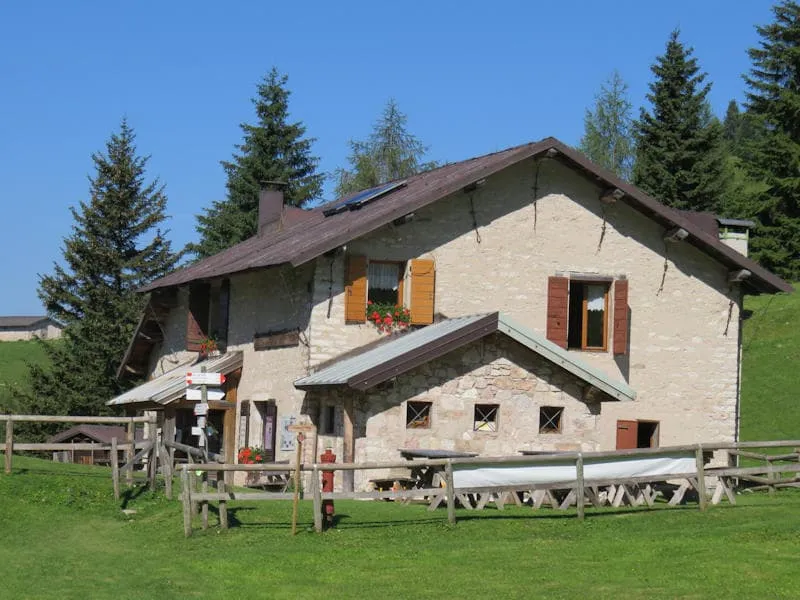
Rifugio Volpi al Mulaz

Info
Rifugio Volpi al Mulaz
Day
2

Rifugio Volpi al Mulaz - Rifugio Treviso

Duration: 08:00 h
Distance: 16.5 km
Ascent: 860 m
Descent: 1830 m
Lowest Point: 1600 m
Highest Point: 2800 m

From Rifugio Volpi al Mulaz, follow path no. 703 toward Forcella Margherita. After 500 meters, you'll reach a cabled section—caution is advised due to technical and exposed terrain.

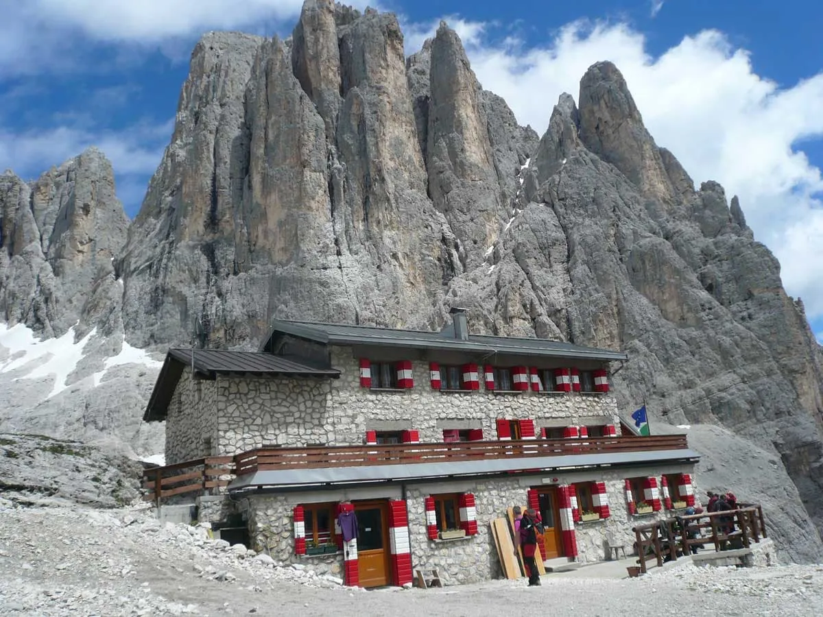
Around 3 km in, a scenic rest spot offers stunning views. Continue along the Farangole Trail, a narrow path with both secured and exposed sections, leading to Passo delle Faràngole at 2,814 meters. Enjoy breathtaking views into the valley before descending toward Rifugio Treviso, nestled peacefully in Val Canali.

Rifugio Treviso

Info
Rifugio Treviso
Rifugio Treviso
Day
3

Rifugio Treviso - Passo Cereda

Duration: 03:25 h
Distance: 7.91 km
Ascent: 590 m
Descent: 880 m
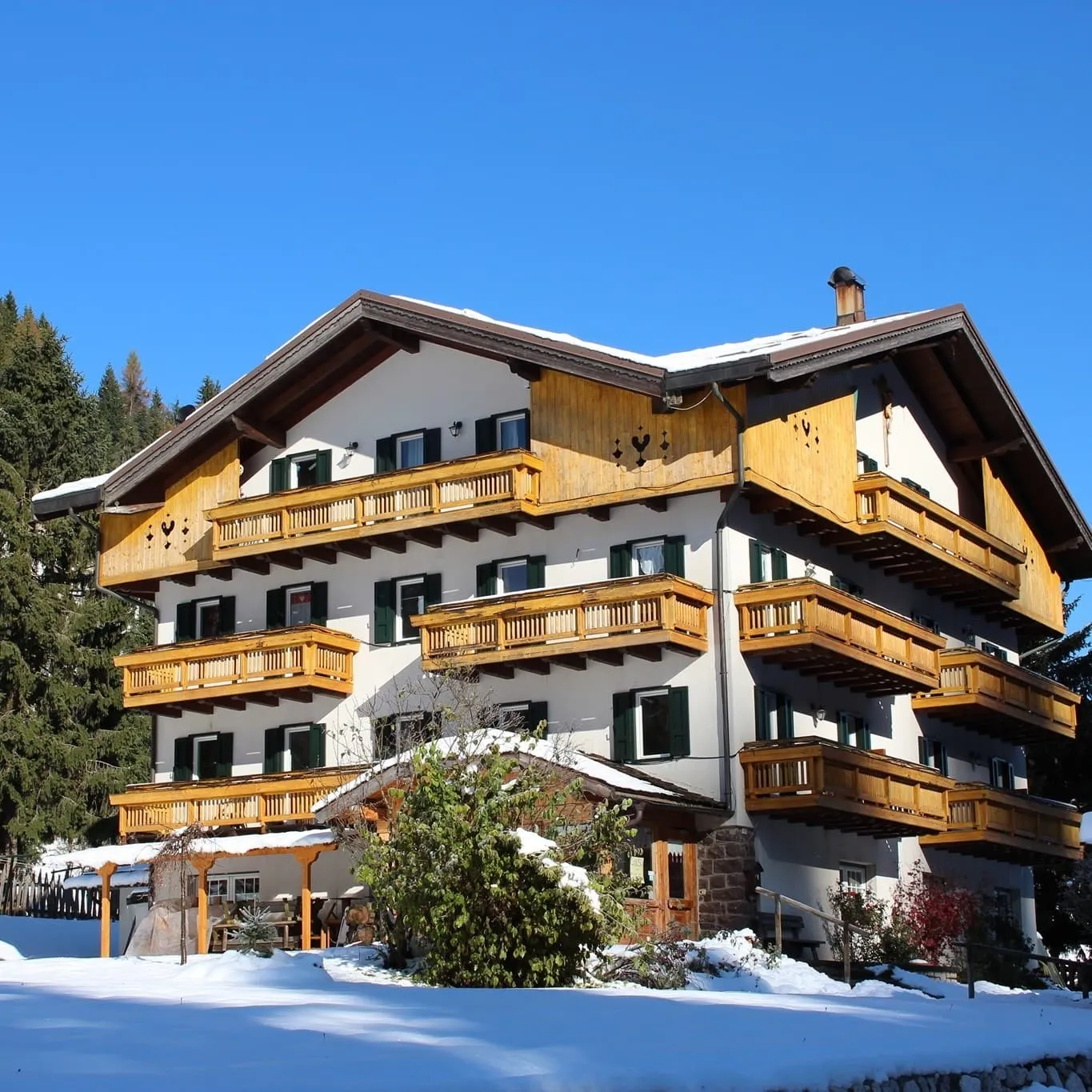
From Rifugio Treviso (1631 m), follow path 718 to a grassy clearing called Campigol del Oltro. From here the path bends to the left (South-East) and begins to climb up the valley up to Forcella d'Oltro, at 2094 meters. From Forcella d'Oltro you descend through slopes and valleys to Rifugio Cereda (1361 m.).

Passo Cereda

Info
Passo Cereda
Passo Cereda
Day
4

Passo Cereda - Rifugio Bruno Boz

Duration: 06:20 h
Distance: 12.7 km
Ascent: 1060 m
Descent: 720 m

From the Cereda Pass, 1361 m, go east along the State Road 347 for about one kilometer to the village of Padreterno, 1302 m, where a small road branches off to the south and then turns east to the small village of Matiùz, at 1201 meters. A sign in Matiùz indicates to the south the continuation of the Alta Via delle Dolomiti n. 2. Once you reach the camping area, go uphill towards the southeast following the signs on the huts. After crossing the little white road, continue towards the south and enter a gorge. At the end of the climb, you will reach the Comedón Pass, 2067 m. After the pass, you enter the Dolomiti Bellunesi National Park.

Now you descend to the west, past a saddle, until you reach Piano della Regina. After crossing the green oasis, you trek uphill and reach the Feltre Bivouac "Walter Bodo", at 1930 m. From the bivouac you continue south on path 801, soon meeting the junction with path n° 806. Remain on path no. 801. Follow the path to Col dei Béchi, at 1960 meters.

Here begins the Trói dei Caserìn (trói = narrow path) that goes west under the walls of Sass de Mura. At an altitude of about 1830 m, the path takes to the south-west, passes through the pastures of Casèrin, and reaches the Pass de Mura, 1867 m. Following the signs to the southwest, you soon reach the Rifugio "Bruno Boz", at 1718 meters.

Rifugio Bruno Boz

Info
Rifugio Bruno Boz
Rifugio Bruno Boz
Day
5

Rifugio Bruno Boz - Croce d'Aune

Duration: 08:45 h
Distance: 19.2 km
Ascent: 820 m
Descent: 1540 m
From the Rifugio continue on the path n.801 until Passo Finestra, which will lead to Croce d'Aune. Cross the Piazza del Diavolo (Devil's Square) until Pass Busa di Pietena. Follow the path and cross Busa delle Meraveie until Rifugio Dal Piaz. The Rifugio Dal Piaz is the last rifugio of the Alta Via 2. It is at an altitude of 1993 meters and is located in the National Park of the Belluno Dolomites. The last stage of the AV2 starts at the Rifugio Dal Piaz with the path number 801 going down to Passo Croce d'Aune. The route is easy and gives the opportunity to enjoy the views of the Feltre Valley.

Included

  • Full travel guide

    You’ll receive access to our trekking app, which serves as your complete digital travel guide for the Alta Via 2. Inside, you’ll find everything you need for your trek: route descriptions, hiking maps, navigation support, payment information, and all the key details specific to your journey.

  • Accommodation

    During your Alta Via 2, you will spend your nights in mountain huts. In the mountain huts we normally only book dormitories, but we can look into private rooms on request. If the private rooms are fully booked or not available in the hut, we automatically book a bed in dormitories for you. Please note that private rooms are more expensive and there will be an additional charge for this.

  • Half-board in Huts

    Accommodation at the huts includes dinner and breakfast. We will arrange this for you as well. This allows you to travel lighter and have one less thing to worry about. Bear in mind that lunch is not included, but it can be purchased at the huts. Here you can also buy an array of snacks and bottled water.

  • Navigation support

    Our trekking app also includes built-in navigation support. With GPS-based maps and offline access, you can follow the trail confidently and stay on route even without mobile signal.

Excluded

  • Traveling to and from

    You have to make your own way to the starting point. The total amount does not include personal transport.

  • Transfers

    Should you need any form of (public) transport on location, this is not part of the trekking package. This includes the use of taxi, bus, cable cars, gondolas, ferries, etc.

  • Lunch

    Half-board is included in the price of this trek. Lunch, however, is not. You can get something to eat at the mountain huts along the way.

  • Travel Insurance

    Your international travel insurance is your own responsibility. Discuss your itinerary with the insurance company before your trek.

  • Personal expenses

    Personal expenses on such as souvenirs, drinks, and other similar expenses are for your own account.

FAQ

  • Difficulty of the Alta Via 2: Is This Trek Right for Me?

  • When Is the Best Season to Hike the Alta Via 2 in the Dolomites?

  • How to get to the starting point of the Hardcore Alta Via 2

  • How to get back from the endpoint of the Hardcore Alta Via 2

  • What if the dates I want are not available?

  • If I book now, can I immediately arrange the rest of my trip?

  • How do I know if this trek is right for me?

How to Book

  • Booking

  • Availability

  • Cancellation policy

Packing List for the Alta Via 2

  • Information

  • Essentials

  • Extras

Reviews

Reviews