Destinations
Trekking type


Full Alta Via 2 Trek
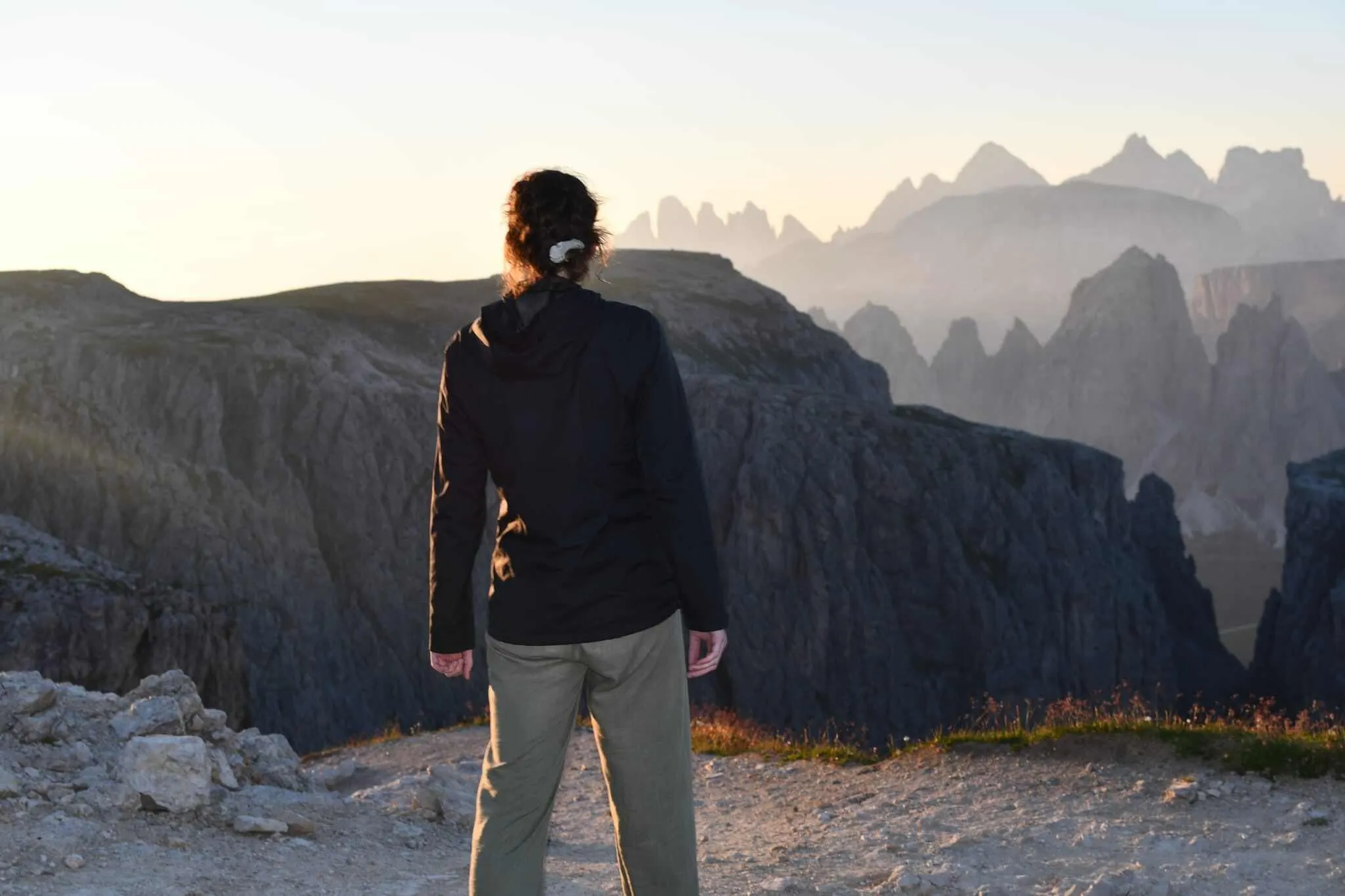
The Alta Via 2 is one of the 6 famous Alta Via treks in the Italian Dolomites. If you are looking for your next challenge, the Alta Via 2 is the perfect match. This trek is full of adrenaline and only suitable for experienced trekkers with surefootedness, experience in the mountains, and a head for heights. The Alta Via 2 includes sharp ridges, Via Ferratas, and steep slopes. Are you brave enough to face it?
The entire Alta Via 2 can be completed in 11 to 14 days. We have prepared a 12-day itinerary in which you complete the entire trek, from Brixen / Bressanone to Croce d'Aune. Challenging trails, the possibility of conquering Via Ferratas, staying in cozy Italian mountain huts and delicious Northern Italian food. And don't forget to enjoy the fantastic views in the Italian Dolomites.
Itinerary
Included
-
Booking the huts
We will take care of arranging accommodation on the Alta Via 2 for you. We will also provide you with a detailed itinerary for every stage and instructions on how to get to the trailhead.
-
Full travel guide
You’ll receive access to our trekking app, which serves as your complete digital travel guide for the Alta Via 2. Inside, you’ll find everything you need for your trek: route descriptions, hiking maps, navigation support, payment information, and all the key details specific to your journey.
-
Accommodation
During your Alta Via 2, you will spend your nights in mountain huts. In the mountain huts we normally only book dormitories, but we can look into private rooms on request. If the private rooms are fully booked or not available in the hut, we automatically book a bed in dormitories for you. Please note that private rooms are more expensive and there will be an additional charge for this.
-
Official Cicerone Hiking Guide
This offer includes the latest edition of the Cicerone hiking guide for the Alta Via 2.
-
Half board (where possible)
Accommodation in the huts includes dinner and breakfast, unless otherwise indicated in the exclusive list. This allows you to travel lighter and not have to worry about an extra meal. Please note, however, that lunch is not included, but can be purchased at the huts.
-
Navigation support
Our trekking app also includes built-in navigation support. With GPS-based maps and offline access, you can follow the trail confidently and stay on route even without mobile signal.
Excluded
-
Traveling to and from
You have to make your own way to the starting point. The total amount does not include personal transport.
-
Transfers
Should you need any form of (public) transport on location, this is not part of the trekking package. This includes the use of taxi, bus, cable cars, gondolas, ferries, etc.
-
Lunch
Half-board is included in the price of this trek. Lunch, however, is not. You can get something to eat at the mountain huts along the way.
-
Travel Insurance
Your international travel insurance is your own responsibility. Discuss your itinerary with the insurance company before your trek.
-
Personal expenses
Personal expenses on such as souvenirs, drinks, and other similar expenses are for your own account.
-
Via Ferrata equipment
Via Ferrata equipment (helmet, harness, via ferrata set) are not included in the price, but will be available for rent in the town(s) close to the starting point.
-
Dinner Rifugio Genova
Whenever possible, we book accommodations on a half-board basis but at Rifugio Genova only breakfast is included. In the evening you can dine à la carte in the hut without any problem and pay for it in cash on the spot. So make sure you take enough cash with you on trek.
FAQ
Difficulty of the Alta Via 2: Is This Trek Right for Me?
When Is the Best Season to Hike the Alta Via 2 in the Dolomites?
How to Get To the Starting Point of the Alta Via 2
How to Get From the Endpoint Back to Bressanone
What if the dates I want are not available?
If I book now, can I immediately arrange the rest of my trip?
How do I know if this trek is right for me?
How to Book
Booking
Availability
Cancellation policy
Reviews

Reviews
Just for You
Get weekly inspiration with the best treks


