Preferred date sold out?
Discover our hut-to-hut treks in Austria with availability in August or September and secure your adventure before it's too late!

Expert Peter Habeler Runde

Duration: 4 days
Trails: T3 trails
Distance: 10 - 15 km / 6 - 9 mi per day
Ascent per day: 500 - 1000 m / 1640 - 3281 ft ascent per day

> Climb the 2,859-metre-high Friesenbergscharte Pass
> Cross the border into Italy and stay at the Pfitscherjochhaus
> We take care of all your overnight stays at Tyrolean mountain huts

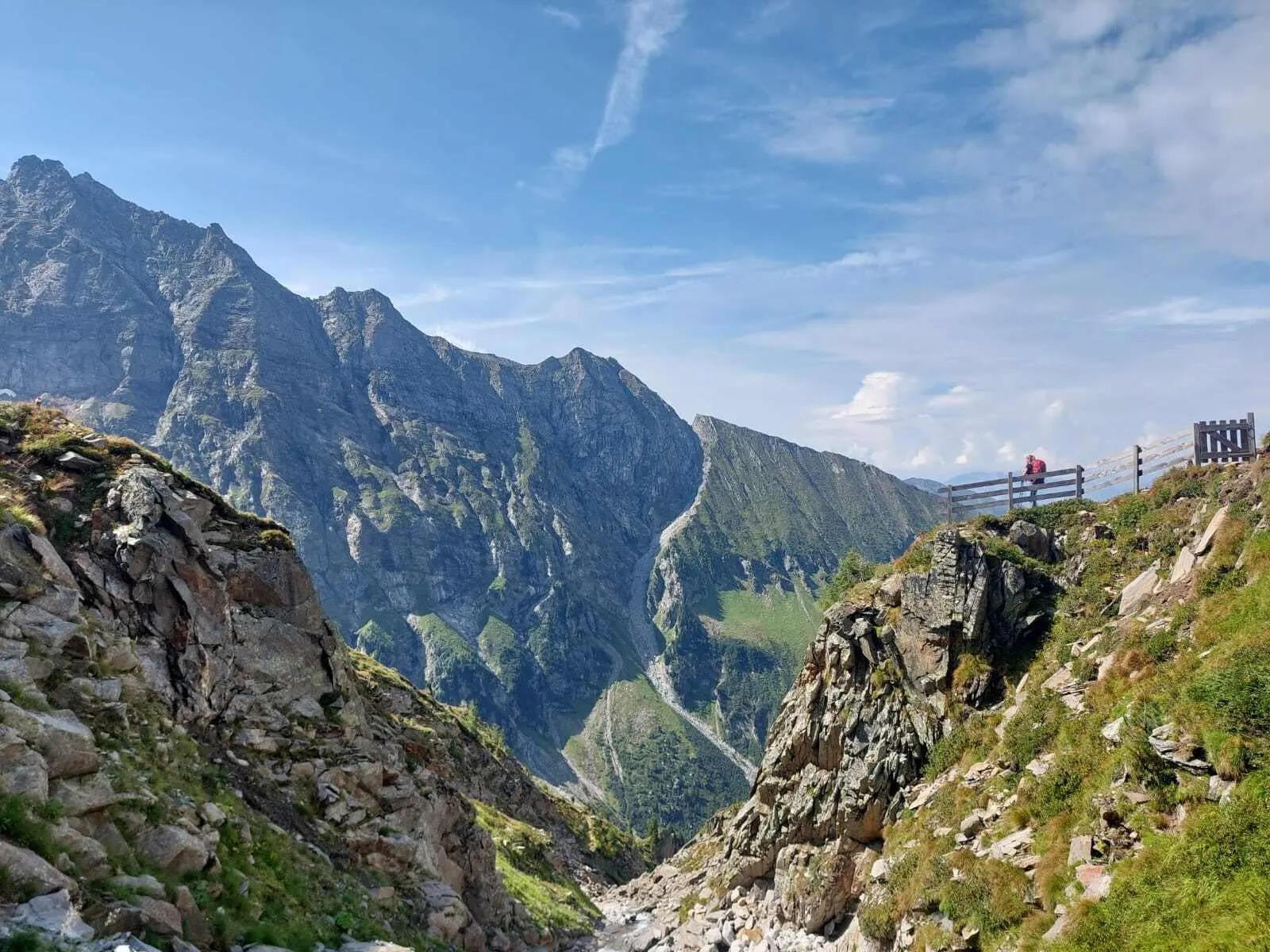
Are you looking for something more challenging? The Hardcore Peter Habeler Runde is your heavyweight title fight. This expert-level route loops through the stunning Valsertal Nature Reserve, taking the classic Peter Habeler Runde to the next level. Starting and finishing in the remote village of Vals, you'll experience tough but rewarding days. From alpine passes to rugged high trails, this route holds nothing back.

This 4-day adventure will take you through the raw power of the Zillertal Alps. You'll stay in legendary huts such as the Friesenberghaus and the Tuxerjochhaus, where sweeping views and challenging terrain will demand your focus, stamina and grit. Designed for experienced hikers, this itinerary is the real deal. Are you ready to take on the challenge? This hardcore trek is waiting for you!

Itinerary

Day
1

Vals - Tuxerjochhaus

Duration: 07:20 h
Distance: 16 km / 9.9mi
Ascent: 1740 m / 5709ft
Descent: 780 m / 2559ft

Your trek begins in the peaceful alpine village of Vals, located deep within the Valsertal nature reserve. The first few kilometres will warm you up and reward you with a stunning view of the Tux Alps. Shortly afterwards, enjoy the waterfalls along the route, where cold mountain water tumbles from alpine heights — perfect for a refreshing dip! You will soon pass the quaint Chapel of St. Valentine, tucked above Innervals, before the terrain becomes more rugged.

The shortcut over the scree marks the start of a more challenging section, where secure footing and mountain experience are necessary. The route then continues into the forest, winding through stone pine woodlands before opening out into alpine meadows. Follow path 527 further up to take in the panoramic views of the Tuxertal valley and the towering Frauenwand peak. The final stretch includes an exposed and technical segment — advanced hikers will love the challenge!

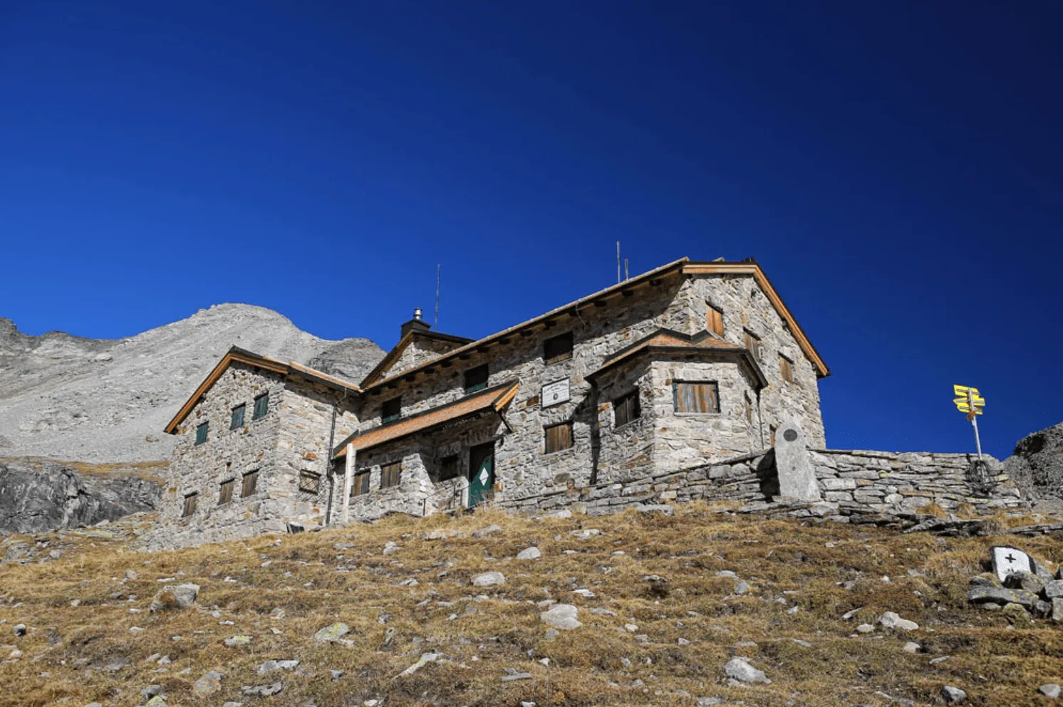
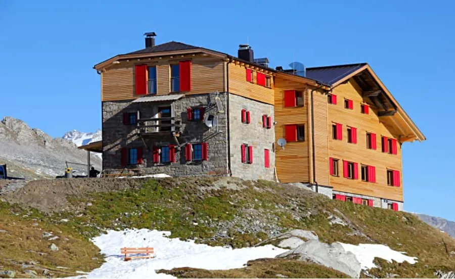
Finally, you will arrive at Tuxerjochhaus, your hut for the night, where the Tux Alps, Zillertal Alps, and Tux Main Ridge converge. A dramatic and rewarding end to a serious alpine day.

Tuxerjochhaus

Info
Tuxerjochhaus
Tuxerjochhaus
Day
2

Tuxerjochhaus - Friesenberghaus

Duration: 07:20 h
Distance: 9.5 km / 5.9 mi
Ascent: 800 m / 2625 ft
Descent: 640 m / 2100 ft

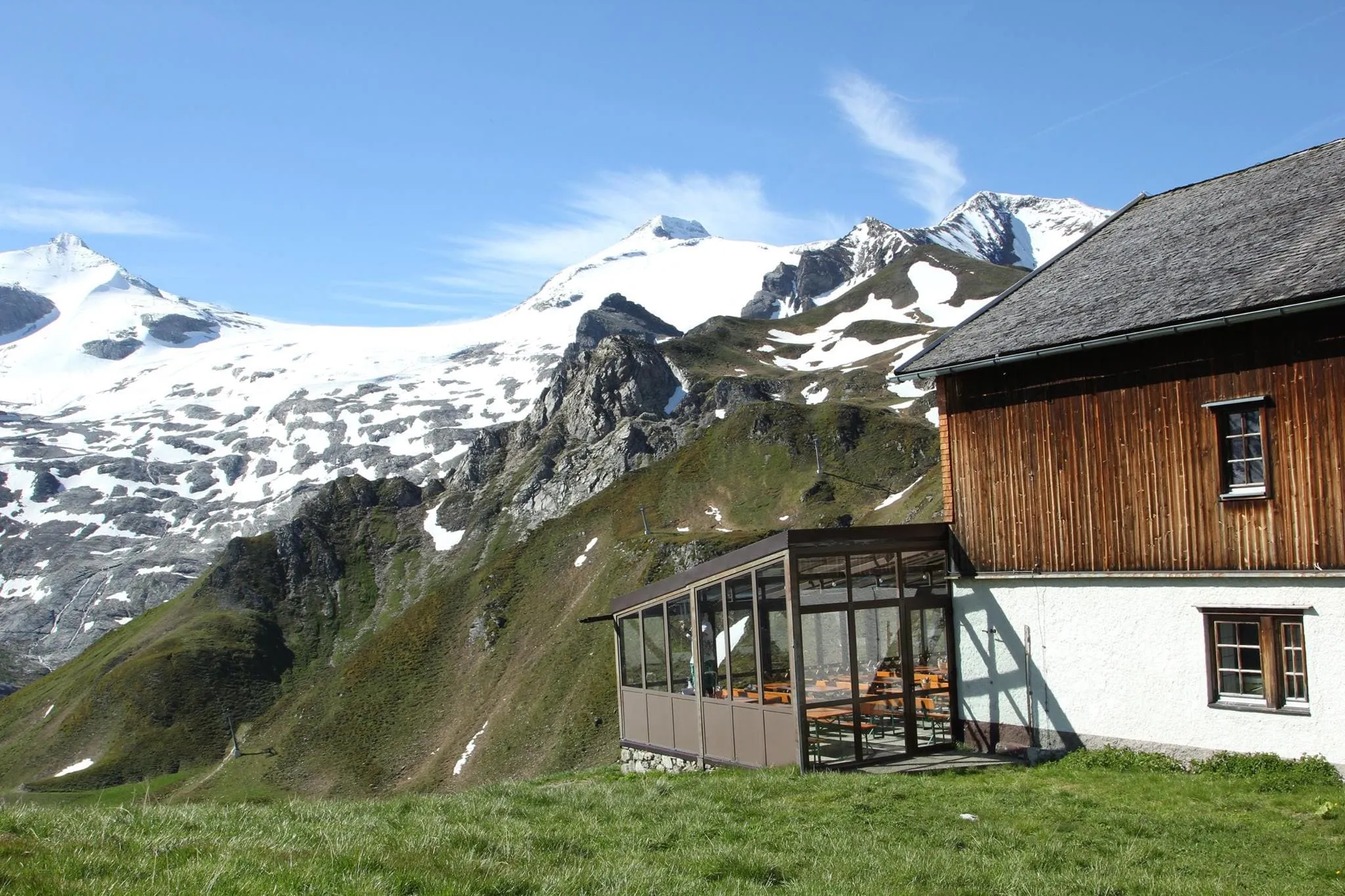
From the Tuxerjochhaus, follow path No. 326 downhill to below the Lärmstange. Then turn southeast to the Spannagelhaus, at 2,531 meters, and continue to the Friesenbergscharte, at 2,911 meters. Here, at the highest point of the Peter-Habeler-Runde, you can enjoy the magnificent views of the surrounding mountains. Over several zigzags, the path finally leads down to today's destination, the Friesenberghaus, at 2,498 meters. If the Friesenbergscharte isn't passable today you can take a detour which includes a short bus ride.

Friesenberghaus

Info
Friesenberghaus
Friesenberghaus
Day
3

Friesenberghaus - Pfitsertsjochhaus

Duration: 06:35 h
Distance: 13.4 km / 8.3 mi
Ascent: 640 m / 2100 ft
Descent: 830 m / 2723 ft

Today you will descend to the Friesenberg lake, after which you will climb up steep slopes again. The trail then follows the Berliner Höhenweg, no. 526, for a short section and continues to the Olpererhütte, which is located at 2,389 m. From there take trail no. 502 in the direction of Unterschrammachkar, at 2,280 m. A short climb takes us below the Ameiskopf, at 2,400 m. From there, trail no. 528 leads along glacier tracks to Kastenschneid and under the Stamplkee to the Pfitscherjochhaus, at 2,276 metres.

Pfitsertsjochhaus

Info
Pfitsertsjochhaus
Pfitsertsjochhaus
Day
4

Pfitscherjochhaus - Vals

Duration: 09:00 h
Distance: 17.1 km / 10.6 mi
Ascent: 610 m / 2001 ft
Descent: 1530 m / 5020 ft

Endpoint: Vals, Austria

From the Pfitscherjochhaus the path leads past small lakes and through a barren stone landscape along the Landshuter Höhenweg (No. 3 and No. 528) and leads to the Friedrichshöhe to the Landshuter Europa-Hütte, at 2,693 metres. From the Landshuter Europa Hütte the Geistbeckweg, path no. 529, leads towards the Sumpfschaftl, at 2,666 metres, and then over the Lange Wand to the Inner Zeischalm and finally back to the starting point of the tour in Vals.

Included

  • Full travel guide

    You’ll receive access to our trekking app, which serves as your complete digital travel guide for the Peter Habeler Runde. Inside, you’ll find everything you need for your trek: route descriptions, hiking maps, navigation support, payment information, and all the key details specific to your journey.

  • Accommodation

    During your Peter Habeler Runde, you will spend your nights in mountain huts. In the mountain huts we normally only book dormitories, but we can look into private rooms on request. If the private rooms are fully booked or not available in the hut, we automatically book a bed in dormitories for you. Please note that private rooms are more expensive and there will be an additional charge for this.

  • Half board (where possible)

    Accommodation in the huts includes dinner and breakfast, unless otherwise indicated in the exclusive list. This allows you to travel lighter and not have to worry about an extra meal. Please note, however, that lunch is not included, but can be purchased at the huts.

  • Navigation support

    Our trekking app also includes built-in navigation support. With GPS-based maps and offline access, you can follow the trail confidently and stay on route even without mobile signal.

Excluded

  • Traveling to and from

    You have to make your own way to the starting point. The total amount does not include personal transport.

  • Transfers

    Should you need any form of (public) transport on location, this is not part of the trekking package. This includes the use of taxi, bus, cable cars, gondolas, ferries, etc.

  • Lunch

    Half-board is included in the price of this trek. Lunch, however, is not. You can get something to eat at the mountain huts along the way.

  • Travel Insurance

    Your international travel insurance is your own responsibility. Discuss your itinerary with the insurance company before your trek.

  • Personal expenses

    Personal expenses on such as souvenirs, drinks, and other similar expenses are for your own account.

FAQ

  • When Is the Best Season To Do the Peter Habeler Runde?

  • Peter Habeler Runde: Difficulty

  • How to Get to the Starting Point of the Peter Habeler Runde

  • End Point: Sankt Jodok am Brenner/Vals

  • What if the dates I want are not available?

  • If I book now, can I immediately arrange the rest of my trip?

  • How do I know if this trek is right for me?

How to Book

  • Booking

  • Availability

  • Cancellation policy

Reviews

Reviews