Peter Habeler Runde

  • Duration
    Total 6 days
    Average 5 h 3m
  • Distance
    Total 57.8 km / 35.9 mi
    Average 9.6 km / 6.0 mi
  • Ascent
    Total +3470 m / +11384 ft
    Average +578 m / +1897 ft
  • Descent
    Total -3480 m / -11417 ft
    Average -696 m / -2283 ft

> Follow in the footsteps of Peter Habeler
> Accommodation in cosy mountain huts
> Enjoy the local Austrian cuisine

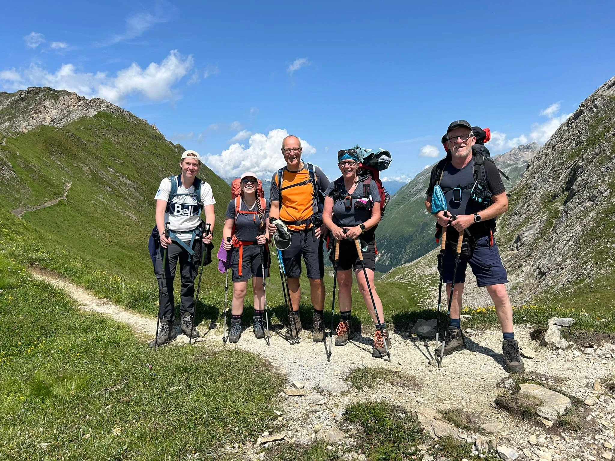
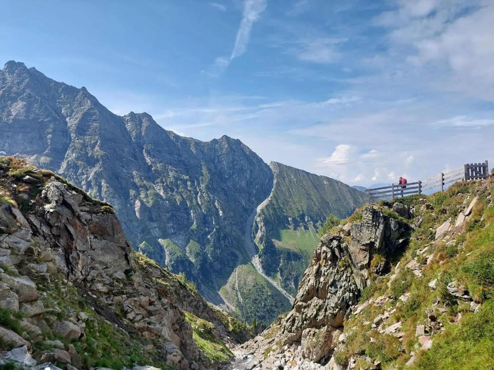
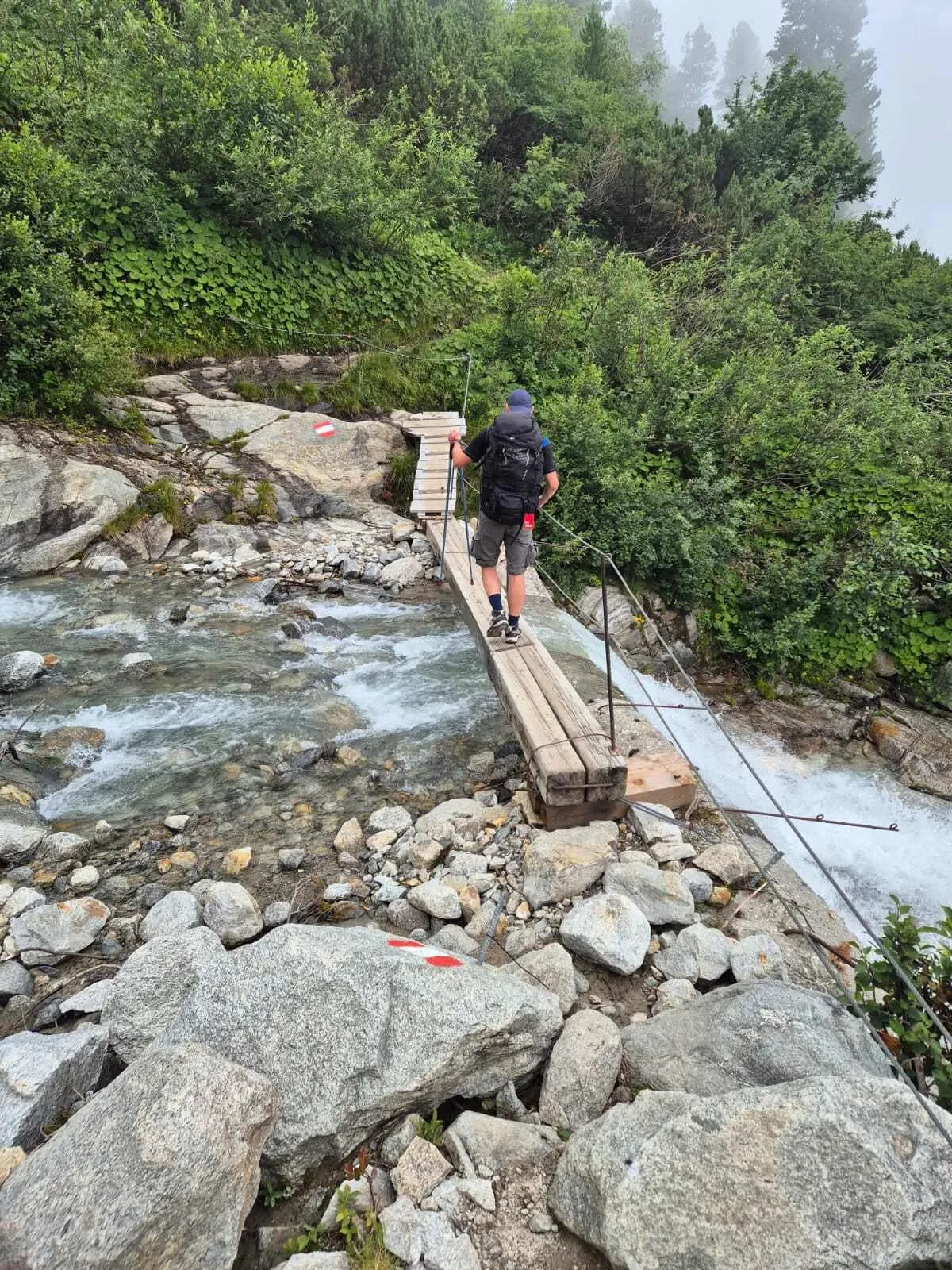
Are you looking to complete the famous Peter Habeler Runde? Also known as the Peter Habeler Trek, this trek is a circular route that starts and ends in Vals, a mountain village with 537 inhabitants in Tyrol. Dedicated to Austrian mountaineer Peter Habeler on his 70th birthday, this trek is one of the most renowned hikes in the region. Peter Habeler was born in Mayrhofen, Tyrol, and made Alpine history when he and Reinhold Messner climbed Mount Everest without wearing artificial oxygen in 1978. The tour is 56.1 kilometers long and has a total ascent and descent of 4,230 meters.

Important: The Friesenberghaus will remain open until 16 August (inclusive) and will then close for renovations. For bookings starting after 16 August, we will book the Olpererhütte as a replacement.

Itinerary

Day
1

Vals - Geraer Hütte

Duration: 04:20 h
Distance: 8 km / 4.97 mi
Ascent: 970 m / 3182 ft
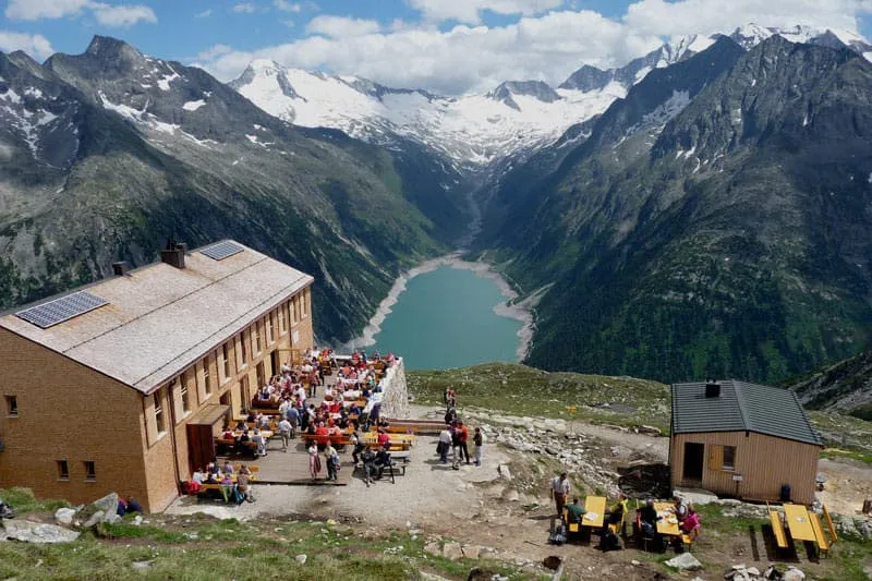
From Gasthaus Touristenrast at the end of the Valsertal (bus stop or free parking at the Nockeralmen) you begin by walking along a wide farm track (no. 502) for about one hour, ascending gently to the top of the cable car. From there, the trek leads you through an undulating, beautifully laid trail to the border of the forest. From here, follow trail no. 502 in open terrain to the Geraer Hütte, at 2,324 m.

Geraer Hütte

Info
Geraer Hütte
Geraer Hütte
Day
2

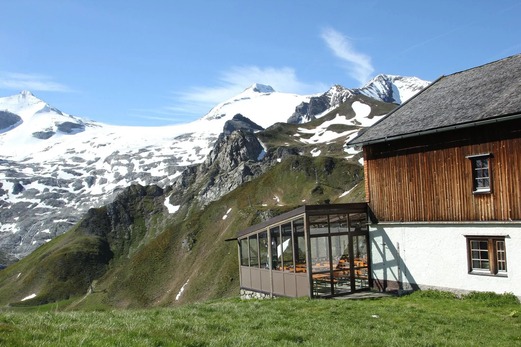
Geraer Hütte - Tuxerjochhaus

Duration: 04:55 h
Distance: 10 km / 6.21 mi
Ascent: 640 m / 2100 ft
Descent: 660 m / 2165 ft
From the Geraer Hut, the stage starts north to the Steinernes Lamm (No. 527) and leads over old glacial moraines through the front Höllwand and further to the Kleegrubenscharte, Kasererscharte, and Frauenwand. Finally, a path through alpine pastures will lead you to the Tuxerjochhaus, at 2,313 meters.

Tuxerjochhaus

Info
Tuxerjochhaus
Tuxerjochhaus
Day
3

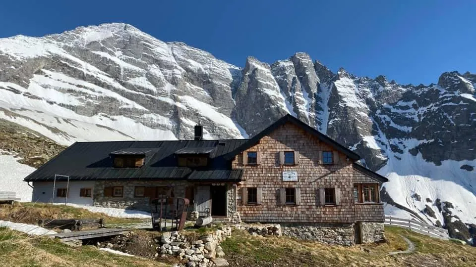
Tuxerjochhaus - Friesenberghaus

Duration: 05:45 h
Distance: 10 km / 6.21 mi
Ascent: 800 m / 2625 ft
Descent: 640 m / 2100 ft

From the Tuxerjochhaus, follow path No. 326 downhill to below the Lärmstange. Then turn southeast to the Spannagelhaus, at 2,531 meters, and continue to the Friesenbergscharte, at 2,911 meters. Here, at the highest point of the Peter-Habeler-Runde, you can enjoy the magnificent views of the surrounding mountains. Over several zigzags, the path finally leads down to today's destination, the Friesenberghaus, at 2,498 meters. If the Friesenbergscharte isn't passable today you can take a detour which includes a short bus ride.

Friesenberghaus

Info
Friesenberghaus
Friesenberghaus
Day
4

Friesenberghaus - Olpererhütte

Duration: 02:20 h
Distance: 4.4 km / 2.73 mi
Ascent: 160 m / 525 ft
Descent: 240 m / 787 ft
Today you descend to the Friesenberg Lake, only to climb up again over steep switchbacks. Afterward, the trail follows the Berliner Höhenweg, No. 526, for a short stretch and continues to the Olpererhütte, located at 2,389 meters.

Olpererhütte

Info
Olpererhütte
Olpererhütte
Day
5

Olpererhütte - Pfitserjochhaus

Duration: 04:00 h
Distance: 8.3 km / 5.16 mi
Ascent: 290 m / 951 ft
Descent: 410 m / 1345 ft
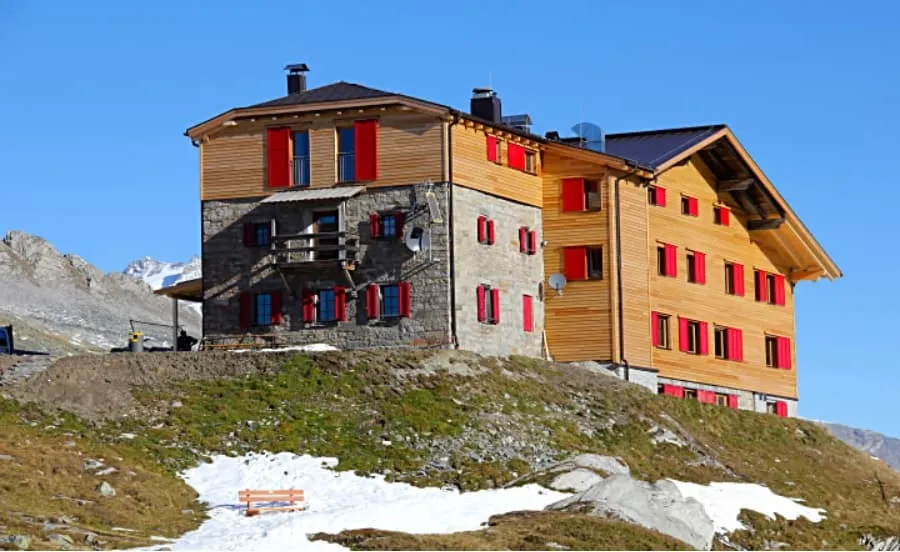
This stage starts from the Olpererhütte, at 2,389 m, and follows path No. 502 towards Unterschrammachkar, at 2,280 m. A short ascent takes us below the Ameiskopf, at 2,400 meters. From there, path No. 528 runs past glacier cuts to Kastenschneid and below the Stamplkee to the Pfitscherjochhaus, at 2,276 meters.

Pfitsertsjochhaus

Info
Pfitsertsjochhaus
Pfitsertsjochhaus
Day
6

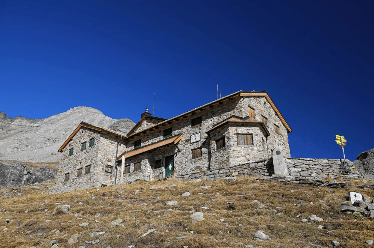
Pfitscherjochhaus - Vals

Duration: 09:00 h
Distance: 17.1 km / 10.63 mi
Ascent: 610 m / 2001 ft
Descent: 1530 m / 5020 ft

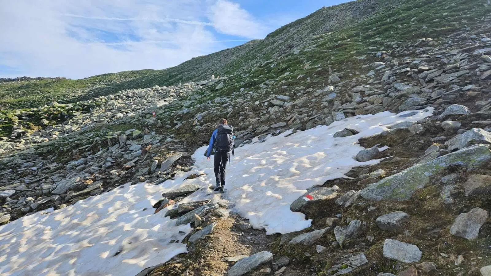
This is a serious alpine stage with T4 terrain, not just a long walk back to the valley. The route takes around 9 hours and includes a major descent of 1,530 m, with the most demanding ground coming after the Landshuter Europahütte. Expect steep, rocky and exposed sections where sure-footedness, alpine experience and a head for heights are essential. In poor weather or with lingering snow, this section can become considerably more difficult.

From the Pfitscherjochhaus, the route first crosses high, open terrain with small lakes and a barren stone landscape on the way to the Landshuter Europahütte at 2,693 m. This first part follows rocky mountain paths and is demanding, but generally more straightforward than the descent that follows. After the hut, the route continues towards the Sumpfschartl and the Lange Wand, where the terrain becomes steeper, rockier and more technical.

The second half descends towards the Valsertal Nature Reserve via the Inner Zeischalm and Nocker Alm. This is the section to take your time on: the ground is steep in places, loose rock can slow your pace, and careful foot placement is important. Around the Lange Wand, there is a secured passage with a ladder and cable protection, where you may need to use your hands and move calmly. Further down, the route passes a waterfall and viewpoints towards the Zeischer Waterfall before continuing towards Vals.

The arrival in Vals comes after a long and tiring descent, so do not underestimate the final kilometres. Once you reach the end point, the technical ground is behind you and you can settle in at your accommodation in the valley.

Contact our Trekking Expert
Naida Bonnema
Naida Bonnema
Naida Bonnema

Included

  • Booking the huts

    We will take care of arranging accommodation on the Peter Habeler Runde for you. We will also provide you with a detailed itinerary for every stage and instructions on how to get to the trailhead.

  • Full travel guide

    You’ll receive access to our trekking app, which serves as your complete digital travel guide for the Peter Habeler Runde. Inside, you’ll find everything you need for your trek: route descriptions, hiking maps, navigation support, payment information, and all the key details specific to your journey.

  • Accommodation

    During the trek, you’ll stay overnight in mountain huts. Accommodation is booked in dormitories (Lager) by default. Some huts offer private rooms (€50 per room, per night) or Mehrbettzimmer / small shared rooms (€12.50 per person, per night), subject to limited availability. If you’d like an upgrade, you can leave a comment while booking or email us immediately after booking. If a private room isn’t available, your booking will be placed in a Mehrbettzimmer or dormitory instead.

  • Half board in huts (where possible)

    Accommodation in the huts includes dinner and breakfast, unless otherwise indicated in the exclusive list. This allows you to travel lighter and not have to worry about an extra meal. Please note, however, that lunch is not included, but can be purchased at the huts. Beverages may also be charged separately at some huts.

  • Navigation support

    Our trekking app also includes built-in navigation support. With GPS-based maps and offline access, you can follow the trail confidently and stay on route even without mobile signal.

Excluded

  • Traveling to and from

    You have to make your own way to the starting point. The total amount does not include personal transport.

  • Transfers

    Should you need any form of (public) transport on location, this is not part of the trekking package. This includes the use of taxi, bus, cable cars, gondolas, ferries, etc.

  • Lunch

    Half-board is included in the price of this trek. Lunch, however, is not. Many huts offer packed lunches, which can usually be requested the night before. Alternatively, you can stop for lunch at mountain huts along the way.

  • Travel Insurance

    Your international travel insurance is your own responsibility. Discuss your itinerary with the insurance company before your trek.

  • Personal expenses

    Personal expenses on such as souvenirs, drinks, and other similar expenses are for your own account.

  • Dinner Pfitscherjochhaus

    Where possible, we book the huts on a half-board basis but in Pfitscherjochhaus only breakfast is included. In the evening you can dine at the hut without any problems and pay for it in cash on the spot. So make sure you take enough cash with you on trek.

FAQ

  • When Is the Best Season To Do the Peter Habeler Runde?

  • Peter Habeler Runde: Difficulty

  • Travelling To and From

  • What if the dates I want are not available?

  • If I book now, can I immediately arrange the rest of my trip?

  • How do I know if this trek is right for me?

  • Can meals be adapted to my dietary requirements?

How to Book

  • Booking

  • Availability

  • Cancellation policy