Intermediate Oeschinensee Trek

Duration: 5 days
Trails: T3 trails
Distance: 10 - 15 km per day
Ascent per day: 500 - 1000 m ascent per day

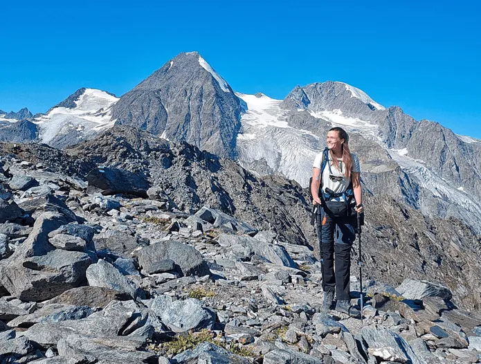
> Hike over the iconic Hohtürli Pass with views of the Blüemlisalp Glacier
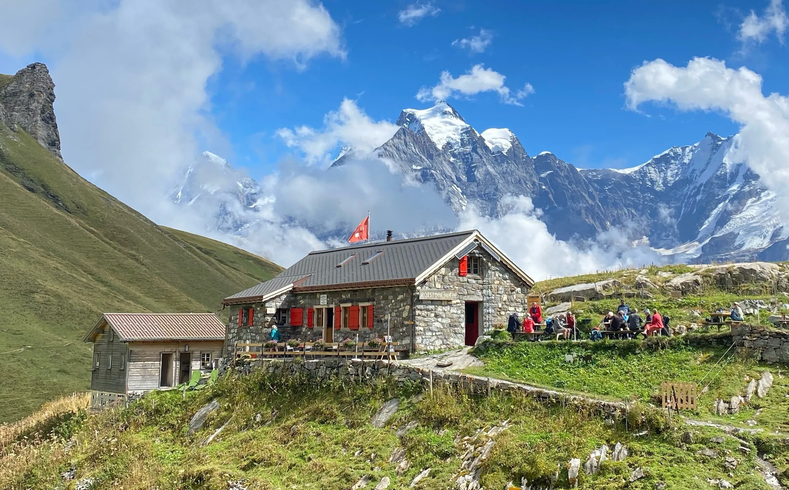
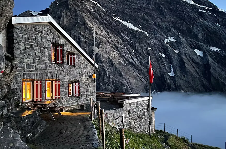
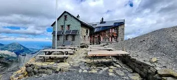
> Sleep in classic Swiss mountain huts like Gespaltenhornhütte and Blüemlisalphütte
> Experience wild Switzerland with glaciers, waterfalls, and alpine lakes
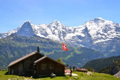
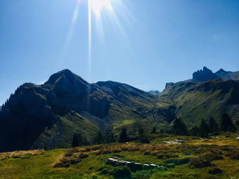
You’ll feel it the moment you step onto the Trift suspension bridge: the drop beneath your boots, the silence of the valley, the distant rush of a waterfall. This is Switzerland as it should be. Lush meadows, steep glaciers, wooden huts, and that crisp alpine air your lungs will thank you for. This isn’t about phone signal. This is about feeling alive.

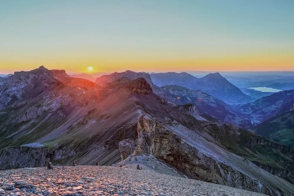
This 5-day trek takes you from Isenfluh to Kandersteg through landscapes with names like Gstellihorn, Engstlenalp, and Hohtürli. A new view every day, a new hut every night. The trail is well-marked and tough but doable for intermediate hikers with solid stamina. With relatively long days and several stretches including long staircases and steep steps, the route stays nicely challenging, especially with a backpack. If you’re ready for a proper mountain workout and big Swiss scenery from hut to hut, this route delivers.

Itinerary

Day
1

Isenfluh - Lobhornhütte

Duration: 03:20 h
Distance: 4.4 km
Ascent: 850 m

From Isenfluh, you dive straight into alpine charm. After a short forested climb, the path snakes through the meadows of Lehn and Hofstatt, offering postcard views back towards Lauterbrunnen. The switchbacks keep your legs honest, but the scenery rewards every step. At Sennhütten and Ankeweidli, wooden chalets dot the hillside and the sound of cowbells starts to echo louder.

The real magic starts as you reach Alp Sous Chüebodmi: you catch your first sweeping view of the Jungfrau massif. That’s a proper “wow” moment. From there, follow the blue trail toward the Chüebodmi plateau, a lush high valley that feels like a secret hideout. The trail continues towards Schranna with occasional peeks of waterfalls and steep cliffs near Sulwald.

Take the detour to the Sulzbach stream for a quick break near the small mountain waterfall. Once you reach the end near Oberhornsee or Sulwald Cheese Dairy, you’ve earned yourself a well-deserved local snack. Käse, anyone?

Lobhornhütte

Info
Lobhornhütte
Lobhornhütte
Day
2

Lobhornhütte - Rotstockhütte

Duration: 07:15 h
Distance: 16.3 km
Ascent: 720 m
Descent: 630 m

This route starts at Sulsse and gently leads you into the mountains. No rush—just steady walking with jaw-dropping views along the way. Early on, you’ll catch glimpses of the iconic Eiger, Mönch, and Jungfrau peaks rising in the distance.

As you make your way toward Grütschalp and Mürren, there are plenty of spots to take breaks. At Allmendhubel, there’s a great panoramic area to pause and take in the views. The trail continues through flower-filled alpine meadows and past traditional Swiss chalets—picture-perfect all the way.

The final stretch up toward Schilthorn is a bit steeper, but manageable with a few well-earned breaks. And the reward? A stunning summit view and the thrill of standing where James Bond once stood. A memorable alpine moment with the Alps as your backdrop!

Rotstockhütte

Info
Rotstockhütte
Rotstockhütte
Day
3

Rotstockhütte - Gspaltenhornhütte

Duration: 04:20 h
Distance: 6.5 km
Ascent: 750 m
Descent: 360 m

The route links Rotstockhütte with Gspaltenhornhütte over the Sefinenfurgge Pass. The hike starts on gentle grassy slopes and ends in a rocky, high alpine world with wide views. Along the way you look into the Sefinen valley, across to the Gamchi Glacier and up to surrounding peaks like Hundshorn (2928 m), Vorderi Bütlasse (3063 m) and Bütlasse (3193 m). It feels like a compact mountain day with a clear sense of crossing into a new valley.

From the hut a clear mountain path climbs through grass and rubble into a high basin. Zigzags lead steeply towards Sefinenfurgge Pass, where you will encounter several sections with rock steps and stairs on your way up as well as on your way down. The main climb goes from roughly 2000 m to about 2600 m at the pass. After the saddle you descend on scree and a few more rock steps and stairs and traverse above the Gamchi Glacier towards the final ridge.

From that last rise the hut suddenly feels close, perched on a rocky shoulder above the valley. A short final path over blocks and slabs brings you to the door. Inside you find simple rooms and a busy dining area; outside, a broad terrace invites you to drop your pack, take off your boots and quietly trace the route back over the pass.

Gspaltenhornhütte SAC

Info
Gspaltenhornhütte SAC
Day
4

Gspaltenhornhütte - Blüemlisalphütte

Duration: 05:20 h
Distance: 7.3 km
Ascent: 930 m
Descent: 530 m

The route starts at the hut and first drops into a side valley before climbing back up to the next high perch. You move from rocky slopes into gentler ground and then into high alpine terrain again. Along the way you see the Gamchi Glacier, the Blüemlisalp Glacier and peaks like Schwarzhore (2600 m) and Bütlasse (3193 m). It feels like a full mountain day, travelling clearly from one cirque to another.

A clear path descends from the hut over rocky steps and loose ground, then eases onto gentler slopes in the valley. You follow streams and small moraines towards the Glacier Panorama viewpoint, mostly on comfortable trail. After crossing the valley floor the main climb starts, rising from around 2100 m to roughly 2840 m. Zigzags lead up a steep slope, where you meet several sections with rock steps and stairs, before the route swings onto a shoulder beneath the glacier.

From this shoulder an easy traverse brings you to the final ramp below the hut. The path climbs one last time over broken rock to reach the buildings. Blüemlisalphütte sits on a rocky balcony above the ice, and the route ends right at the terrace. Here you can drop your pack, take off your boots and watch the glacier and surrounding peaks glowing in the evening light.

Blüemlisalphütte SAC

Info
Blüemlisalphütte SAC
Day
5

Blüemlisalphütte - Oeschinensee Mountain Station

Duration: 04:20 h
Distance: 8.2 km
Ascent: 60 m
Descent: 1200 m

Today’s route leads you down towards one of Switzerland’s most beautiful mountain lakes: Oeschinensee. The hike begins high up near the Hohtürli Pass and follows well-marked alpine paths with wide-open views. It’s a rewarding route for hikers who are comfortable walking in the mountains.

Midway through the walk, Oeschinensee suddenly appears—an impossibly blue lake surrounded by cliffs and glaciers. Take your time at one of the viewpoints, or head all the way to the lakeshore for a snack or even a swim on warm days.

From the mountain station above the lake, you can either take the cable car down to Kandersteg (great for tired legs) or continue walking downhill through the forest. Either way, you’ll finish the day with a big sense of achievement—and plenty of postcard-worthy photos.

Included

  • Full travel guide

    You’ll receive access to our trekking app, which serves as your complete digital travel guide for the Oeschinensee. Inside, you’ll find everything you need for your trek: route descriptions, hiking maps, navigation support, payment information, and all the key details specific to your journey.

  • Accommodation

    During your Oeschinensee, you will spend your nights in mountain huts. We normally book dormitories, but private rooms are available upon request and cost €50 extra per room per night. If no private rooms are available, we will automatically book a bed in a dormitory.

  • Half-board in Huts

    Accommodation at the huts includes dinner and breakfast. We will arrange this for you as well. This allows you to travel lighter and have one less thing to worry about. Bear in mind that lunch is not included, but it can be purchased at the huts. Here you can also buy an array of snacks and bottled water.

  • Navigation support

    Our trekking app also includes built-in navigation support. With GPS-based maps and offline access, you can follow the trail confidently and stay on route even without mobile signal.

Excluded

  • Traveling to and from

    You have to make your own way to the starting point. The total amount does not include personal transport.

  • Transfers

    Should you need any form of (public) transport on location, this is not part of the trekking package. This includes the use of taxi, bus, cable cars, gondolas, ferries, etc.

  • Lunch

    Half-board is included in the price of this trek. Lunch, however, is not. You can get something to eat at the mountain huts along the way.

  • Travel Insurance

    Your international travel insurance is your own responsibility. Discuss your itinerary with the insurance company before your trek.

  • Personal expenses

    Personal expenses on such as souvenirs, drinks, and other similar expenses are for your own account.

FAQ

  • How to get to the starting point of the trek

  • How to get back from the endpoint of the trek

  • What if the dates I want are not available?

  • If I book now, can I immediately arrange the rest of my trip?

  • How do I know if this trek is right for me?

  • Can meals be adapted to my dietary requirements?

How to Book

  • Booking

  • Availability

  • Cancellation policy

Packing List for the Oeschinensee

  • Information

  • Essentials

  • Extras