Beginner Oeschinen Trek

  • Duration
    Total 6 days
    Average 4h 6min
  • Distance
    Total 42.7 km
    Average 7.1 km
  • Ascent
    Total +3310 m
    Average +552 m
  • Descent
    Total -2730 m
    Average -546 m

> Hike from the quiet mountain village of Isenfluh to the classic town of Kandersteg
> Sleep in cozy Swiss mountain huts and the legendary car-free village of Mürren
> Experience wild Switzerland with glaciers, waterfalls, and panoramic alpine views

You’ll hear it before you see it: the thunder of waterfalls echoing through deep valleys, cowbells ringing in alpine pastures, and your boots crunching along high mountain trails with glaciers on the horizon. This is the Bernese Oberland at its rawest and most beautiful. A place to unplug, reconnect, and move together as a family through landscapes that feel timeless.

This 6-day trek starts in the quiet village of Isenfluh and ends in Kandersteg. Along the way, you’ll cross flower-filled meadows, stay in welcoming mountain huts, and spend a night in Mürren, the iconic village with postcard views of the Eiger, Mönch and Jungfrau. While suited for beginners, this trek includes some challenging alpine sections — it's best for adventurous beginners, active families with hiking experience, or anyone who has trekked in alpine terrain before. Swiss adventure at its finest.

Itinerary

Day
1

Isenfluh - Lobhornhütte

Duration: 03:20 h
Distance: 4.4 km
Ascent: 850 m

From Isenfluh, you dive straight into the alpine landscape. After a forested climb, the trail winds through the meadows of Lehn and Hofstatt, with beautiful views back towards Lauterbrunnen. If you prefer a shorter walk, you can take the cable car from Isenfluh to Sulwald and buy your ticket on the spot.

From Sulwald, follow the red-and-white trail markings towards Alp Sous Chüebodmi, where sweeping views of the Jungfrau massif await. The route continues across the peaceful Chüebodmi plateau and through a lush high valley, with waterfalls, wooden chalets and steep cliffs adding to the scenery.

Once you arrive at the hut, you can enjoy a well-deserved local snack. If you arrive early, visit the nearby Sulsseewli, just a 5-minute walk from the hut, where you can enjoy views of a beautiful waterfall.

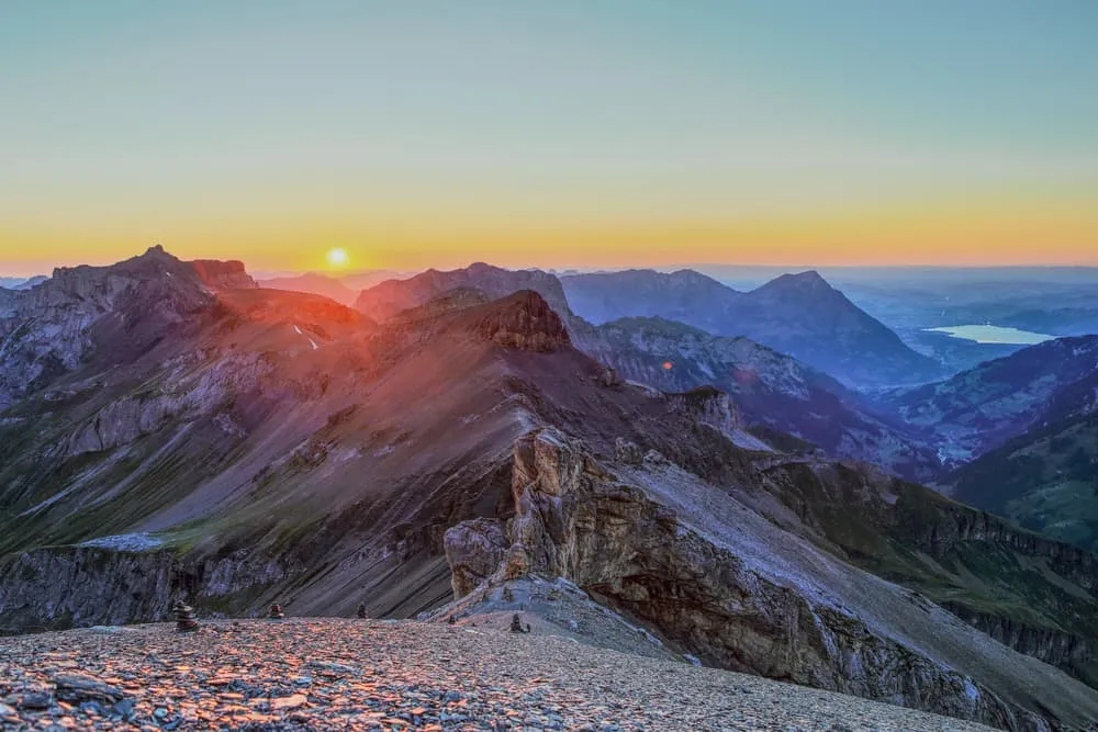
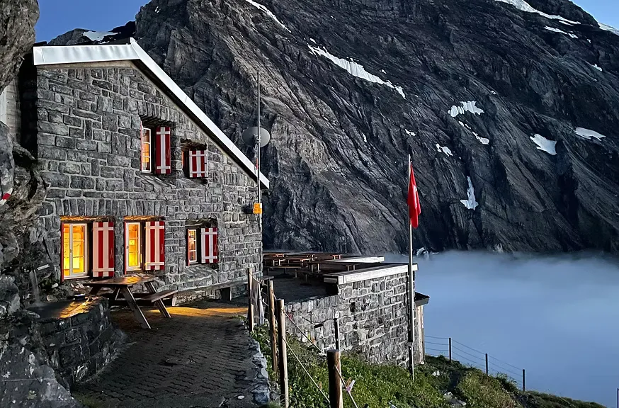
Lobhornhütte

Info
Lobhornhütte
Lobhornhütte
Day
2

Lobhornhütte - Hotel Sonnenberg (Mürren)

Duration: 04:40 h
Distance: 10.3 km
Ascent: 410 m
Descent: 520 m
From the Lobhornhütte, the trail descends gently through wildflower meadows with ever-expanding views of the Eiger, Mönch, and Jungfrau trio. You pass through peaceful alpine pastures and cross small streams before reaching the forested ridge above Lauterbrunnen. After Grütschalp, the path levels out and follows a scenic balcony trail with jaw-dropping panoramas all the way to Mürren. The day ends at Hotel Sonnenberg—your cozy, sunlit perch in this car-free mountain village.

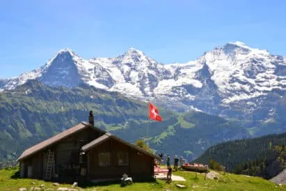
Hotel Sonnenberg (Mürren)

Info
Hotel Sonnenberg (Mürren)
Day
3

Hotel Sonnenberg (Mürren) - Rotstockhütte

Duration: 02:35 h
Distance: 6 km
Ascent: 310 m
Descent: 120 m
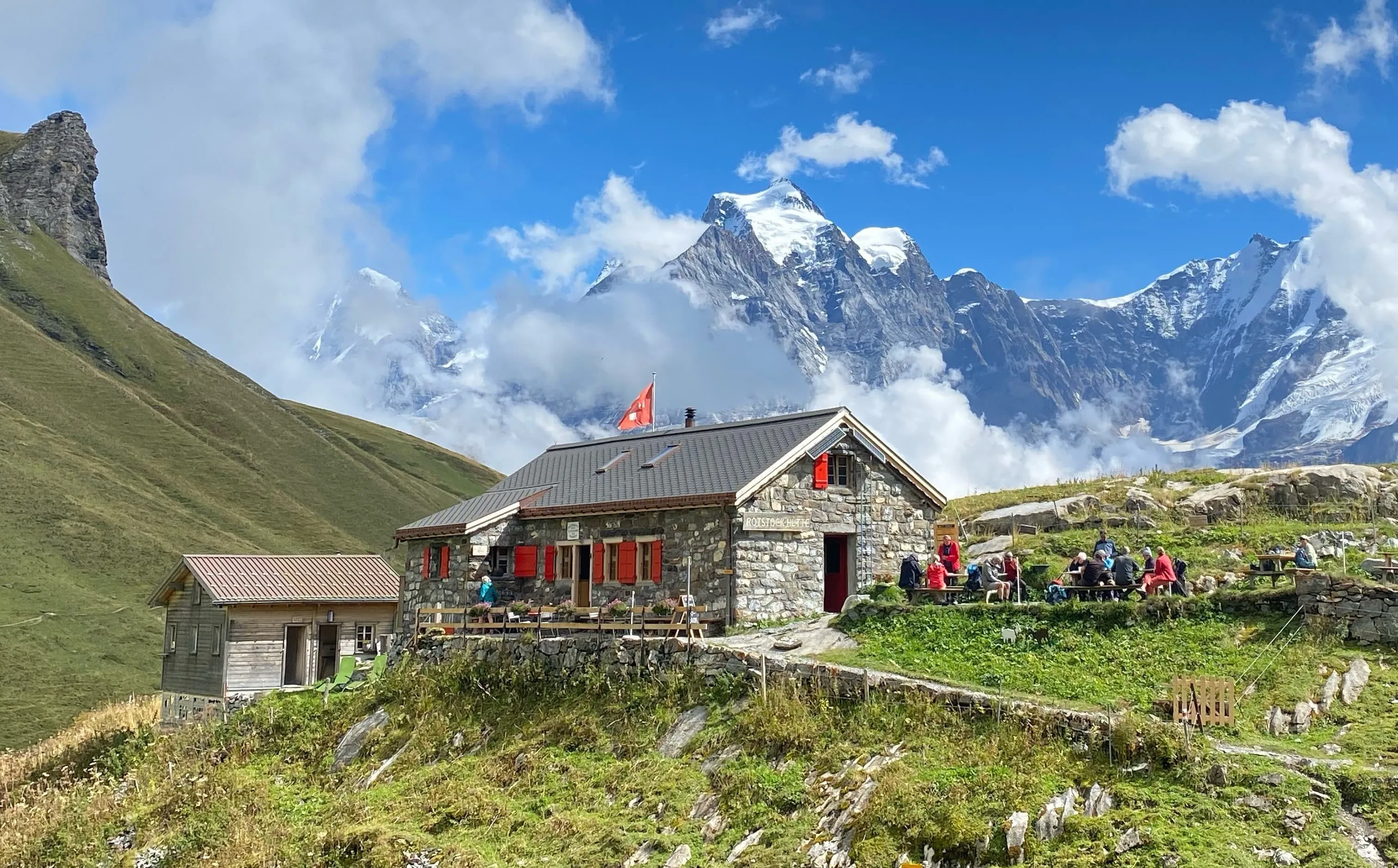
You leave Mürren behind and climb gently through alpine meadows with sweeping views over the Lauterbrunnen Valley. The trail winds past grazing cows, wildflowers, and the occasional paraglider overhead, all while the Eiger, Mönch and Jungfrau stay firmly in sight. After a peaceful passage through the Rosswald and around Bryndli, the mountains close in as you approach the rugged basin of the Rotstockhütte. Nestled below the cliffs of the Schilthorn, your overnight stop offers one of the best sunset spots on the route.

Rotstockhütte

Info
Rotstockhütte
Rotstockhütte
Day
4

Rotstockhütte - Gspaltenhornhütte

Duration: 04:20 h
Distance: 6.5 km
Ascent: 750 m
Descent: 360 m

The route links Rotstockhütte with Gspaltenhornhütte via the Sefinenfurgge Pass. The hike begins on gentle grassy slopes before entering a rocky, high-alpine landscape. Along the way, you’ll enjoy views into the Sefinen valley, across the Gamchi Glacier and towards peaks such as Hundshorn (2,928 m), Vorderi Bütlasse (3,063 m) and Bütlasse (3,193 m).

From the hut, a clear mountain trail climbs through grass and rocky terrain towards the Sefinenfurgge Pass at around 2,600 metres. Several parts of the ascent and descent are steep, with rock steps, stairs and steel cables providing extra support. The route also follows narrow mountain paths with some exposed sections, so sure-footedness and a good head for heights are essential.

After crossing the pass, you descend over scree and traverse above the Gamchi Glacier towards the final ridge. A short last section over rocks and slabs leads to the Gspaltenhornhütte, perched on a rocky shoulder above the valley. Its terrace is the perfect place to take off your boots and look back at the impressive route over the pass.

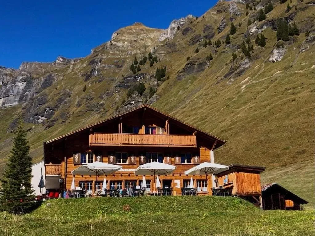
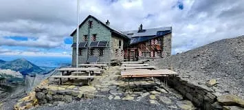
Gspaltenhornhütte SAC

Info
Gspaltenhornhütte SAC
Day
5

Gspaltenhornhütte - Blüemlisalphütte

Duration: 05:20 h
Distance: 7.3 km
Ascent: 930 m
Descent: 530 m

The route starts at the Gspaltenhornhütte and descends into a side valley before climbing towards the next high-alpine destination. Along the way, you’ll enjoy views of the Gamchi Glacier, the Blüemlisalp Glacier and peaks such as Schwarzhore (2,600 m) and Bütlasse (3,193 m).

A clear path descends over rocky steps and loose ground before easing onto gentler slopes. After following streams and small moraines towards the Glacier Panorama viewpoint, you cross the valley floor and begin the main ascent. This climb, rising from around 2,100 to 2,840 metres, is long and steep. The trail includes zigzags, rock steps and exposed sections, so sure-footedness and a good head for heights are important.

The final section leads across rocky terrain to the Blüemlisalphütte, spectacularly situated above the glacier. There are no other huts or restaurants along this stage, so bring enough food, snacks and water for the day. Once at the hut, you can relax on the terrace and admire the surrounding glaciers and peaks.

Blüemlisalphütte SAC

Info
Blüemlisalphütte SAC
Day
6

Blüemlisalphütte - Oeschinensee Mountain Station

Duration: 04:20 h
Distance: 8.2 km
Ascent: 60 m
Descent: 1200 m

Today’s route descends towards one of Switzerland’s most beautiful mountain lakes: Oeschinensee. Starting near the Hohtürli Pass, the trail leads downhill through a spectacular high-alpine landscape with views of the surrounding cliffs and glaciers.

Take your time during the descent, as the narrow trail runs over loose stones and gravel and can be slippery, especially after rain. The high trail above Oeschinensee also crosses several waterfalls and streams. Walk carefully through these wet sections, as the rocks can be particularly slippery.

As you continue, the striking blue waters of Oeschinensee come into view. Stop at one of the viewpoints or descend to the lakeshore for a break. From the mountain station above the lake, you can take the cable car down to Kandersteg or continue on foot through the forest.

Contact our Trekking Expert
Sanne Bakema
Sanne Bakema
Sanne Bakema

Included

  • Full travel guide

    You’ll receive access to our trekking app, which serves as your complete digital travel guide for the Oeschinensee. Inside, you’ll find everything you need for your trek: route descriptions, hiking maps, navigation support, payment information, and all the key details specific to your journey.

  • Accommodation

    During your Oeschinensee, you will spend your nights in mountain huts. We normally book dormitories, but private rooms are available upon request and cost €75 extra per room per night. If no private rooms are available, we will automatically book a bed in a dormitory.

  • Half-board in Huts

    Accommodation at the huts includes dinner and breakfast. We will arrange this for you as well. This allows you to travel lighter and have one less thing to worry about. Bear in mind that lunch is not included, but it can be purchased at the huts. Here you can also buy an array of snacks and bottled water.

  • Navigation support

    Our trekking app also includes built-in navigation support. With GPS-based maps and offline access, you can follow the trail confidently and stay on route even without mobile signal.

Excluded

  • Traveling to and from

    You have to make your own way to the starting point. The total amount does not include personal transport.

  • Transfers

    Should you need any form of (public) transport on location, this is not part of the trekking package. This includes the use of taxi, bus, cable cars, gondolas, ferries, etc.

  • Lunch

    Half-board is included in the price of this trek. Lunch, however, is not. Many huts offer packed lunches, which can usually be requested the night before. Alternatively, you can stop for lunch at mountain huts along the way.

  • Travel Insurance

    Your international travel insurance is your own responsibility. Discuss your itinerary with the insurance company before your trek.

  • Personal expenses

    Personal expenses on such as souvenirs, drinks, and other similar expenses are for your own account.

FAQ

  • How to get to the starting point of the trek

  • How to get back from the endpoint of the trek

  • What if the dates I want are not available?

  • If I book now, can I immediately arrange the rest of my trip?

  • How do I know if this trek is right for me?

  • Can meals be adapted to my dietary requirements?

How to Book

  • Booking

  • Availability

  • Cancellation policy

Packing List for the Oeschinensee

  • Information

  • Essentials

  • Extras