Destinations
Trekking Type


Northern Half of the Meraner Höhenweg
> Experience the more challenging northern half of the Meraner Höhenweg
> We book your accommodation along the trail
> Conquer the Eisjöchl, the highest point of the Meraner Höhenweg, at 2,895 meters
The Meraner Höhenweg in South Tyrol is a 100-kilometer loop through the Texelgruppe Nature Park. It offers a mix of forests, vineyards, and alpine terrain, giving hikers a taste of the region’s landscapes. Trekkers can tackle the whole trail or just parts of it while staying in mountain huts and local hotels that provide a genuine South Tyrolean experience.
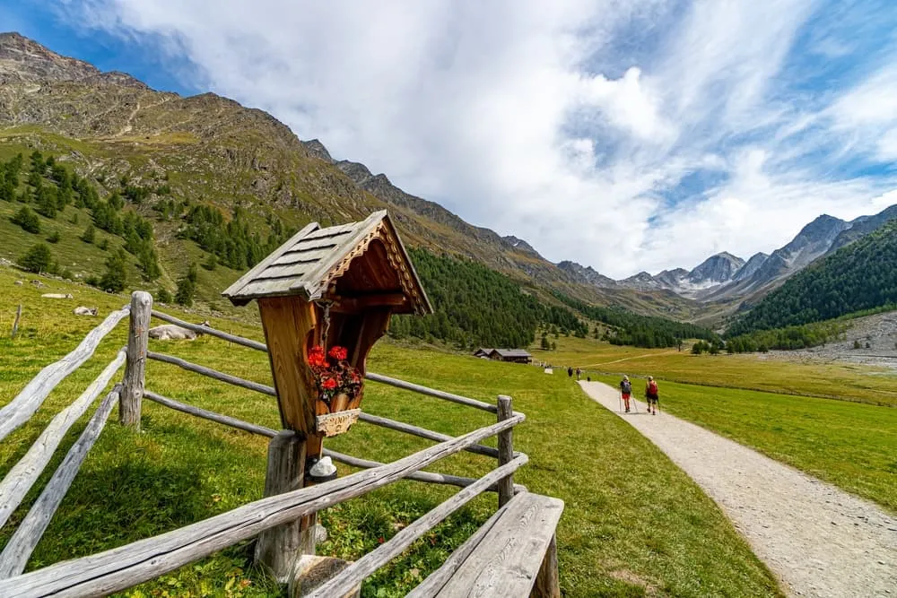
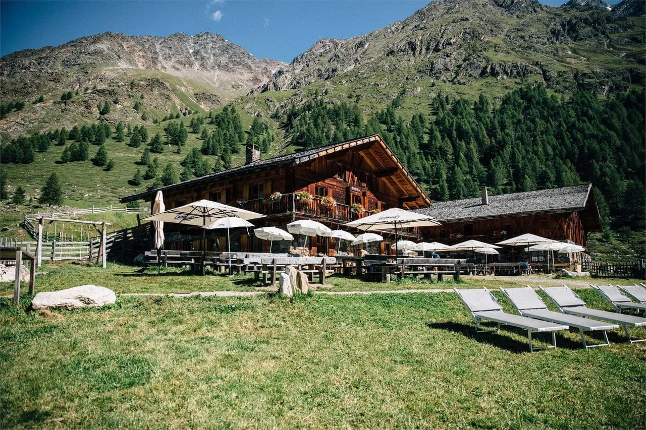
Now, this is the northern half of the trail. This section is the toughest and features steeper climbs and rocky paths. It takes you through high-altitude meadows and along ridges, offering views of the surrounding peaks. The rough terrain demands more effort, so it’s better suited for experienced hikers. Along this stretch, you’ll find mountain huts and local hotels serving hearty South Tyrolean meals, perfect for refueling and experiencing the Tyrolean hospitality after a day on the trail.
Itinerary
Included
-
Full travel guide
You’ll receive access to our trekking app, which serves as your complete digital travel guide for the Meraner Höhenweg. Inside, you’ll find everything you need for your trek: route descriptions, hiking maps, navigation support, payment information, and all the key details specific to your journey.
-
Hotels, Hostels or Huts
We arrange your accommodation on the Meraner Höhenweg in hotels, hostels or huts along the way. We have selected accommodations on our trek based on the length of each stage and recommendations from hikers who have gone before us on the Meraner Höhenweg.
-
Half board (where possible)
Accommodation in the huts includes dinner and breakfast, unless otherwise indicated in the exclusive list. This allows you to travel lighter and not have to worry about an extra meal. Please note, however, that lunch is not included, but can be purchased at the huts.
-
Breakfast in hotels (where possible)
Accommodation in the hotels includes breakfast whenever possible. We will arrange this for you as much as possible in advance. Please note that lunch and dinner are not included, but can be ordered at the accommodation or in the village.
-
Navigation support
Our trekking app also includes built-in navigation support. With GPS-based maps and offline access, you can follow the trail confidently and stay on route even without mobile signal.
Excluded
-
Traveling to and from
You have to make your own way to the starting point. The total amount does not include personal transport.
-
Transfers
Should you need any form of (public) transport on location, this is not part of the trekking package. This includes the use of taxi, bus, cable cars, gondolas, ferries, etc.
-
Travel Insurance
Your international travel insurance is your own responsibility. Discuss your itinerary with the insurance company before your trek.
-
Personal expenses
Personal expenses on such as souvenirs, drinks, and other similar expenses are for your own account.
FAQ
Is the Meraner Höhenweg for me?
What Is The Best Season for The Meraner Höhenweg?
How to Get To the Starting Point of the Meraner Höhenweg
How to Get Back After the End of the Trek
What if the dates I want are not available?
If I book now, can I immediately arrange the rest of my trip?
How do I know if this trek is right for me?
How to Book
Booking
Availability
Cancellation policy

Just for You
Get weekly inspiration with the best treks


