Pembrokeshire Coast Path - Relaxed

  • Duration
    Total 10 days
    Average 3h 58min
  • Distance
    Total 108.7 km
    Average 13.6 km
  • Ascent
    Total +2080 m
    Average +260 m
  • Descent
    Total -2080 m
    Average -260 m

> Walk the most beautiful stretches of the Pembrokeshire Coast Path
> Stay in charming Welsh B&Bs and guesthouses
> Dramatic cliffs, sandy beaches, and coastal villages every day

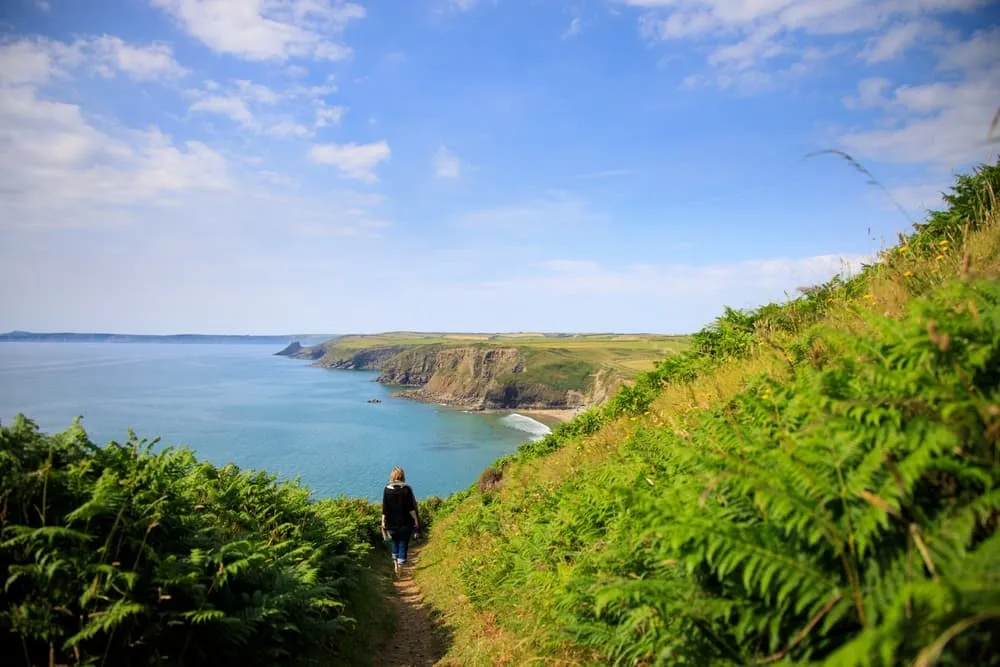
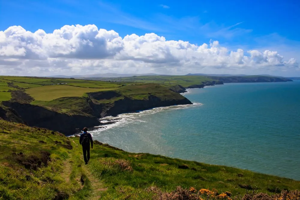
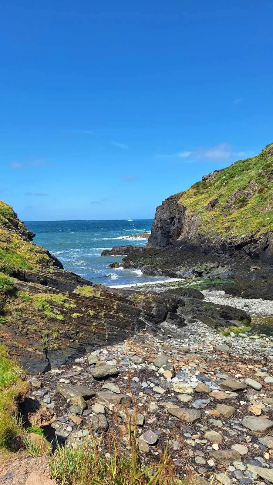
The Relaxed Pembrokeshire Coast Path is a 10-day walking holiday along one of the finest coastal trails in the United Kingdom. Set in the wild southwest corner of Wales, this itinerary takes you along spectacular sea cliffs, hidden coves, wide sandy beaches, and some of the most scenic sections of Pembrokeshire Coast National Park. Expect sea views at every turn and plenty of opportunities to spot seabirds and marine wildlife.

This relaxed version breaks the trail into comfortable stages, giving you time to enjoy the scenery, explore picturesque fishing villages, and stop for a well-earned Welsh cake or pint along the way. Each evening, you'll stay in carefully selected local accommodation, where a warm Welsh welcome awaits. A perfect choice for walkers who want to experience the rugged beauty of the Welsh coast without rushing from one stage to the next.

Itinerary

Day
1

Arrival in Broad Haven

Today, you will arrive in Broad Haven. You can take some time to explore the village and, most importantly, rest well in preparation for tomorrow’s hike.
Sunset Bed & Breakfast (Broad Haven)
Day
2

Broad Haven - Newgale

Duration: 03:45 h
Distance: 11 km
Ascent: 240 m
Descent: 250 m

From Broad Haven, this opening stretch of the Pembrokeshire Coast Path sets the tone straight away with sea cliffs, grassy headlands and the endless motion of St Brides Bay. The route rises and falls above coves and rocky shelves, with the Atlantic never far from your boots. It is not a huge mountain day, but the coast keeps you honest, and the views make every little climb feel worth it. By the time you reach Newgale, the wide beach and open bay deliver a cracking finish.

From the village, the path quickly finds the cliff edge and begins to undulate south-west above the water. You pass quiet coves, low heather slopes and sections of coast where the rock drops straight into the sea. Around Haroldston Chins, the landscape opens wider and the path keeps rolling with broad views across St Brides Bay. Further on, near Druidston and the cliffs beyond, the sea feels especially close, with waves, rock shelves and little inlets adding plenty of drama to the walk.

The final approach eases as the route bends towards the huge sweep of Newgale Sands. The cliffs soften, the horizon widens and the long beach takes over the scene. Ocean View Studio sits in a fine spot for a coastal finish, with sea air still hanging around and the sound of the waves never far away. Once you arrive, it is a lovely place to kick off your shoes and watch the light fade across the bay.

Ocean View Studio (Newgale)
Day
3

Newgale - Solva

Duration: 02:35 h
Distance: 8.9 km
Ascent: 250 m
Descent: 240 m

Leaving the wide sands of Newgale behind, this stage follows a wonderfully indented stretch of Pembrokeshire coast towards the small harbour village of Solva. The route keeps close to the cliff edge, dipping in and out of little coves and low headlands, with constant views over St Brides Bay. It is a shorter day, but the coastline packs in plenty of character, with rocky inlets, flowered cliffs and a lovely sense of moving steadily towards one of the prettiest harbours on the path.

From Newgale, the path quickly climbs onto the cliffs above the beach and begins its rolling rhythm of short ascents and descents. You pass viewpoints back over Newgale Sands before the trail threads along grassy clifftops and rocky shelves above the sea. Around Dinas Fawr, the coast becomes more sculpted, with narrow inlets and low crags adding extra drama. The walking stays lively rather than hard, and the views keep pulling your eyes west towards the headland and the approach to Solva.

Near the end, the cliffs soften and the route eases towards the tidal inlet of Solva Harbour. The village appears tucked into its narrow valley, with stone houses and boats giving the place a calm, timeless feel. The Cambrian Inn makes a cosy and welcoming finish after a breezy coastal walk. Once you arrive, it is easy to settle in, enjoy something good to eat and watch the evening light linger over the harbour.

The Cambrian Inn (Solva)
Day
4

Solva - St. Davids (Short route)

Duration: 03:50 h
Distance: 11.8 km
Ascent: 180 m
Descent: 140 m

From Solva, this shorter stage follows a gentle and deeply scenic stretch of the Pembrokeshire Coast Path towards Britain’s smallest city. The route keeps close to the sea, weaving past quiet coves, low cliffs and grassy headlands, with the Atlantic always in view. It is a lighter day on the legs, but full of atmosphere, ending with the cathedral skyline of St Davids rising softly above the fields.

From the harbour, the path heads west along the clifftops, passing rocky inlets and open grassy slopes with wide views over St Brides Bay. The walking rolls easily, with small ups and downs rather than any major climbs. Around Porth y Rhaw and Caerfai Bay, the coastline becomes more indented, with red cliffs, little beaches and lovely sea views. Near St Non’s Chapel, the path feels especially rich in history, with the coast and old sacred sites sitting close together.

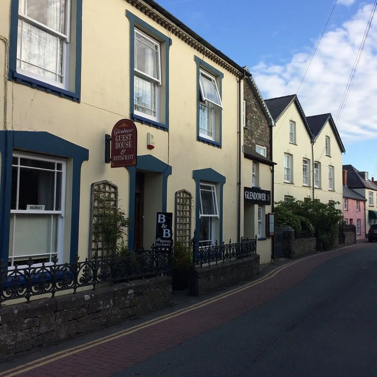
As you near the end, the sea slowly gives way to fields and the first edges of St Davids. Soon the cathedral area and stone houses come into view, giving the finish a calm, almost timeless feel. Glendower B&B is a welcoming place to arrive after a breezy coastal walk. Once you settle in, it is easy to wander into town and enjoy the evening in this small but special place.

Glendower B&B (St. Davids)
Day
5

St. Davids - Abereiddy Rd

Duration: 03:45 h
Distance: 13.2 km
Ascent: 290 m
Descent: 250 m

Beyond the cathedral streets, the route soon reaches the open coast west of St Davids. The day begins with wide views over Whitesands Bay and the sea cliffs of St Davids Head, where the Atlantic feels close and lively. Later, the trail turns east along grassy headlands and low cliff paths beneath Carn Llidi (181 m) and Carn Penberry, before easing inland through quieter farmland towards tonight’s country-house stay.

From the edge of town, the path leads out towards Whitesands Beach, then climbs gently to the rocky shoulder near St Davids Head. Here, sea views stretch towards Ramsey Island and along the indented coast. The route continues on rolling coastal turf past Carn Llidi and Carn Penberry, with little coves, heather and old field boundaries adding texture. After the last cliffside section, the trail leaves the coast and follows calmer lanes and tracks inland.

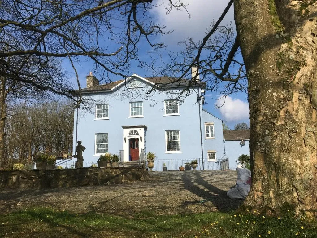
The final approach feels softer, with fields, hedgerows and quiet country roads replacing the cliff edge. Crug Glas Country House appears in a peaceful rural setting, tucked away from the salt wind and bustle of the shore. Once you arrive, it is easy to settle in, enjoy the stillness and watch the evening light fade over the Pembrokeshire countryside.

Crug Glas Country House (Abereiddy Rd)
Day
6

Abereiddy Rd - Abercastle

Duration: 03:30 h
Distance: 12.5 km
Ascent: 190 m
Descent: 260 m

Leaving the peaceful lanes near Crug Glas, this stage heads back towards the sea and into one of the quieter corners of the Pembrokeshire coast. The route feels open from the start, with rolling farmland slowly giving way to cliff edges, little coves and big Atlantic views. It is a day of constant coastal variety rather than big climbs, ending above the sheltered harbour of Abercastle, where white cottages and fishing boats bring a softer finish to the wild shoreline.

The path first crosses quiet country lanes and fields before rejoining the coast near Traeth Llyfn, a beautiful cove backed by steep grassy slopes. From there, the trail undulates along the cliff tops past old quarries and rocky inlets, with long views back towards St Davids Head. Further on, the coast becomes more indented and intimate around Porthgain and the stretches beyond, where sea arches, rugged headlands and old industrial traces add plenty of character. The walking stays lively, with short rises and dips all the way.

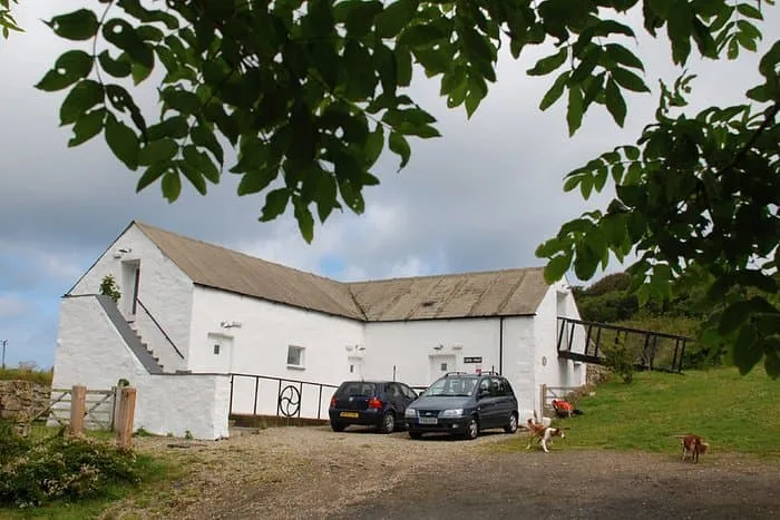
Near the end, the route bends around the small harbour of Abercastle, where the sea suddenly feels calmer and more enclosed. The final stretch is relaxed, with the village tucked into its narrow inlet and the surrounding cliffs softening around it. Garn Isaf Guesthouse sits in a lovely setting for the night, close enough to the coast to keep that salty breeze in the air. Once you arrive, it is easy to settle in and watch the evening light linger over the harbour.

Garn Isaf Guesthouse (Abercastle)
Day
7

Abercastle - Fishguard (Short route)

Duration: 04:05 h
Distance: 14.8 km
Ascent: 240 m
Descent: 250 m

Out of the quiet inlet of Abercastle, this shorter stage still gives you a lovely last taste of the Pembrokeshire coast before turning inland towards Fishguard. The day begins with rocky coves, low cliffs and wide Atlantic views, then gradually shifts into softer farmland and country lanes. It feels like a transition stage, with the sea slowly loosening its grip while the harbour town ahead starts to draw you in.

From the guesthouse, the path follows the coast past little headlands and the sheltered bays of Aberbach and Abermawr, where pebbles, surf and dark rock give the shoreline plenty of character. After this wilder opening, the route leaves the cliff edge and heads inland on quieter tracks and lanes through fields and open country. The walking stays gentle, with only a few modest rises, while the views change from sea and coves to hedgerows, farmland and the first signs of town.

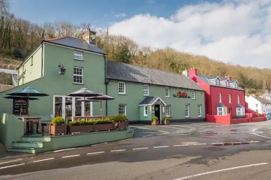
As you approach Goodwick and Fishguard, houses and harbour views begin to appear, with the coastline now below and behind you. The Ferryboat B&B makes a fitting end to the day, close to the waterfront and the comings and goings of the port. Once you arrive, you can settle in, enjoy something warm and watch the evening light soften over the bay.

The Ferryboat B&B (Fishguard)
Day
8

Fishguard - Newport (Short route)

Duration: 05:15 h
Distance: 19 km
Ascent: 340 m
Descent: 320 m

Past the harbour bustle of Fishguard, the route quickly returns to the open coast, where cliffs, small coves and big sea views set the rhythm for the day. This shorter option still delivers plenty of Pembrokeshire drama, with the path weaving above rocky inlets before heading on towards the quieter landscapes around Newport Bay. It feels like a day of constant change, from harbour scenes and low headlands to wilder cliff paths and finally the softer edges of estuary and town.

From the B&B, the trail heads out past Lower Town and Goodwick Beach before climbing onto the coast path above the sea. The path rolls west and north through grassy clifftops and rocky coves, with wide views over the bay and back towards Fishguard Harbour. Around Dinas Cross, the coastline becomes even more rugged, with sea stacks, steep little inlets and the dramatic shape of Dinas Head stealing the show. Further on, the route passes woodland and the lovely Aberfforest Waterfall near the shore before easing towards the Newport Estuary.

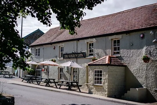
As you approach the end, the atmosphere softens and the trail leads you towards Newport, where the estuary, bridge and low hills give the day a calmer finish. The Golden Lion Hotel sits right in the heart of town, making a welcoming place to arrive after a varied coastal stage. Once you are there, you can drop your pack, enjoy something good to eat and watch the evening settle over the estuary and the surrounding hills.

The Golden Lion Hotel (Newport)
Day
9

Newport - Cardigan (Inland route)

Duration: 04:55 h
Distance: 17.5 km
Ascent: 350 m
Descent: 370 m

Leaving Newport, this shorter inland option offers a calmer and more direct way towards Cardigan. Instead of staying with the sea all day, the route cuts across a softer landscape of estuary edges, quiet lanes and rolling farmland. It still feels spacious and beautifully Pembrokeshire, but with fewer coastal ups and downs. If you prefer, you can also follow the original route, which is longer at 28 km and stays by the coast for much more of the day.

From the town, the trail heads past the Nevern estuary and Newport Sands before turning inland through open country. Quiet roads, farm tracks and green lanes lead you across fields and low ridges, with occasional views back towards the sea and the broad sweep of Cardigan Bay. Around Moylgrove, the route keeps an easy rhythm through a patchwork of hedgerows, woods and pasture, before gradually descending towards the Teifi valley and the outskirts of Cardigan.

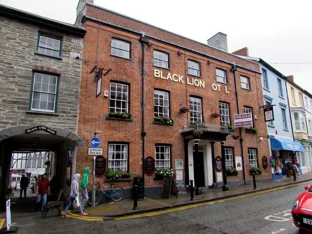
Near the end, the landscape becomes more settled and the route eases into the town. The Black Lion Hotel makes a comfortable finish, right in the heart of Cardigan and close to shops, pubs and the river. Once you arrive, you can put your feet up and decide whether the shorter inland line was exactly what you needed, or whether next time you will go for the full coastal version.

The Black Lion Hotel (Cardigan)
Day
10

Departure

After a hearty breakfast in your hotel in Cardigan, your Pembrokeshire Coast Path adventure comes to an end. We hope you've had an unforgettable experience exploring this trail and we look forward to welcoming you back!
Contact our Trekking Expert
Justa Atema
Justa Atema
Justa Atema

Included

  • Accommodation

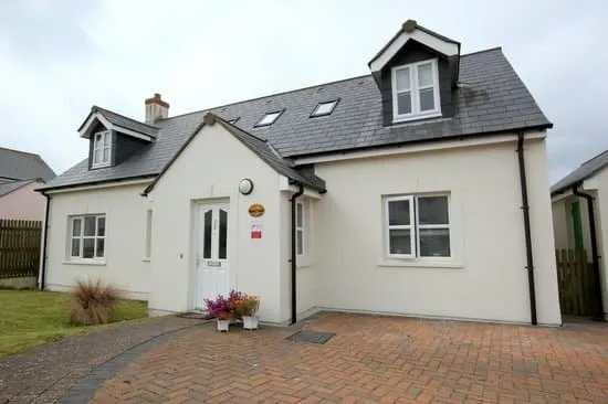
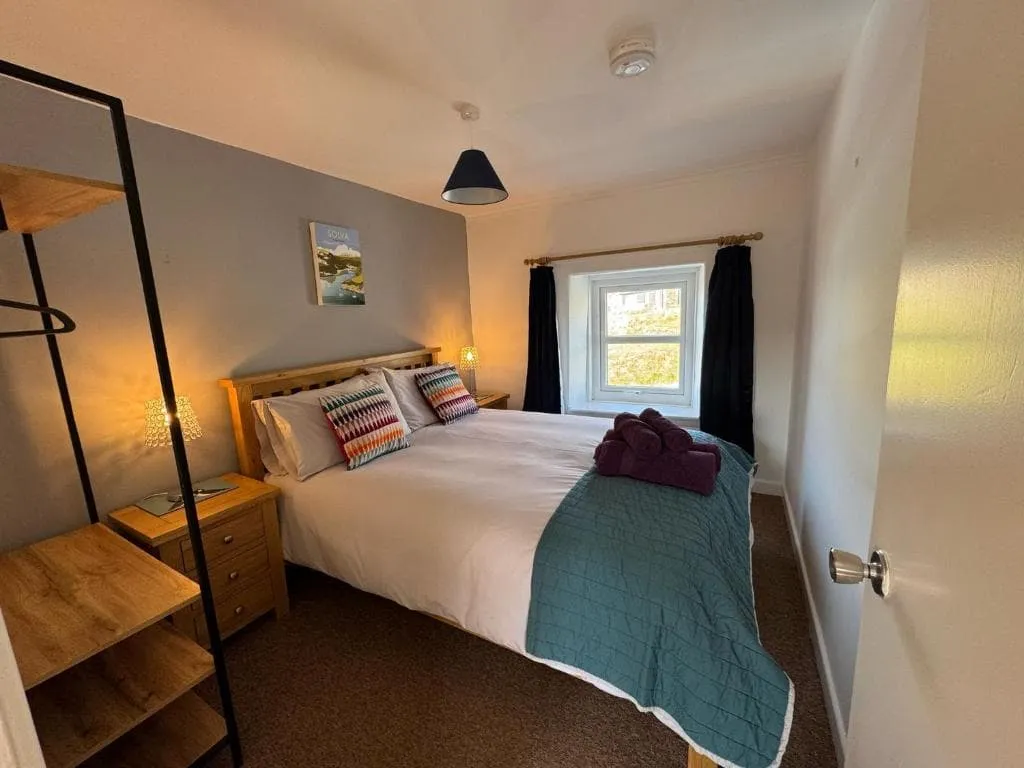
    We will arrange your accommodation on the Pembrokeshire Coast Path in hotels, inns, and guesthouses. Accommodation will be private in single, double or twin rooms and with en-suite bathroom where possible.

  • Full travel guide

    You’ll receive access to our trekking app, which serves as your complete digital travel guide for the Pembrokeshire Coast Path. Inside, you’ll find everything you need for your trek: route descriptions, hiking maps, navigation support, payment information, and all the key details specific to your journey.

  • Baggage Transfer

    This trek includes the transfer of your luggage throughout the entire Pembrokeshire Coast Path trek. Your bags will be picked up every morning from the hotel lobby and will be driven to your next next accommodation. Baggage transfers allow you to travel lighter during the day and enjoy the walk in a more relaxed manner.

  • Accommodation before and after the tour

    Accommodation before and after the trek is included. Breakfast is, if possible, part of your stay.

  • Navigation support

    Our trekking app also includes built-in navigation support. With GPS-based maps and offline access, you can follow the trail confidently and stay on route even without mobile signal.

  • Breakfast (when possible)

    We will arrange breakfast for you whenever possible. Some accommodations on the Pembrokeshire Coast Path, however, do not allow us to pre-book it. In those cases, you can usually request breakfast for the next morning directly at the accommodation (at your own expense), or simply enjoy one of the cafés in the area.

  • Linen and towels

    Linen and towels can be rented at the hut, and the cost is already included in the price of your trek. This means you can travel lighter and do not need to bring your own.

  • Full board

    Full board is included, covering breakfast, lunch, and a warm dinner each day.

Excluded

  • Traveling to and from

    You have to make your own way to the starting point. The total amount does not include personal transport. This also applies to any transport from the end point of your trail.

  • Transfers

    If you require any form of public or local transport during the trek, it is not included in the package unless stated otherwise. This applies to taxis, buses, cable cars, gondolas, and similar services.

  • Travel Insurance

    Your international travel insurance is your own responsibility. Discuss your itinerary with the insurance company before your trek.

  • Lunch and Dinner

    Breakfast is, if possible, included in the price of the trek. You can get lunch and dinner at the shops, hotels, and restaurants along the way.

FAQ

  • Pembrokeshire Coast Path: Weather and Best Season

  • Luggage Transport on the Pembrokeshire Coast Path

  • How to get to the Starting Point of the Relaxed Pembrokeshire Coast Path?

  • How to get Back from the End Point of the Trek?

  • What if the dates I want are not available?

  • If I book now, can I immediately arrange the rest of my trip?

  • How do I know if this trek is right for me?

  • Can meals be adapted to my dietary requirements?

How to Book

  • Booking

  • Availability

  • Cancellation policy