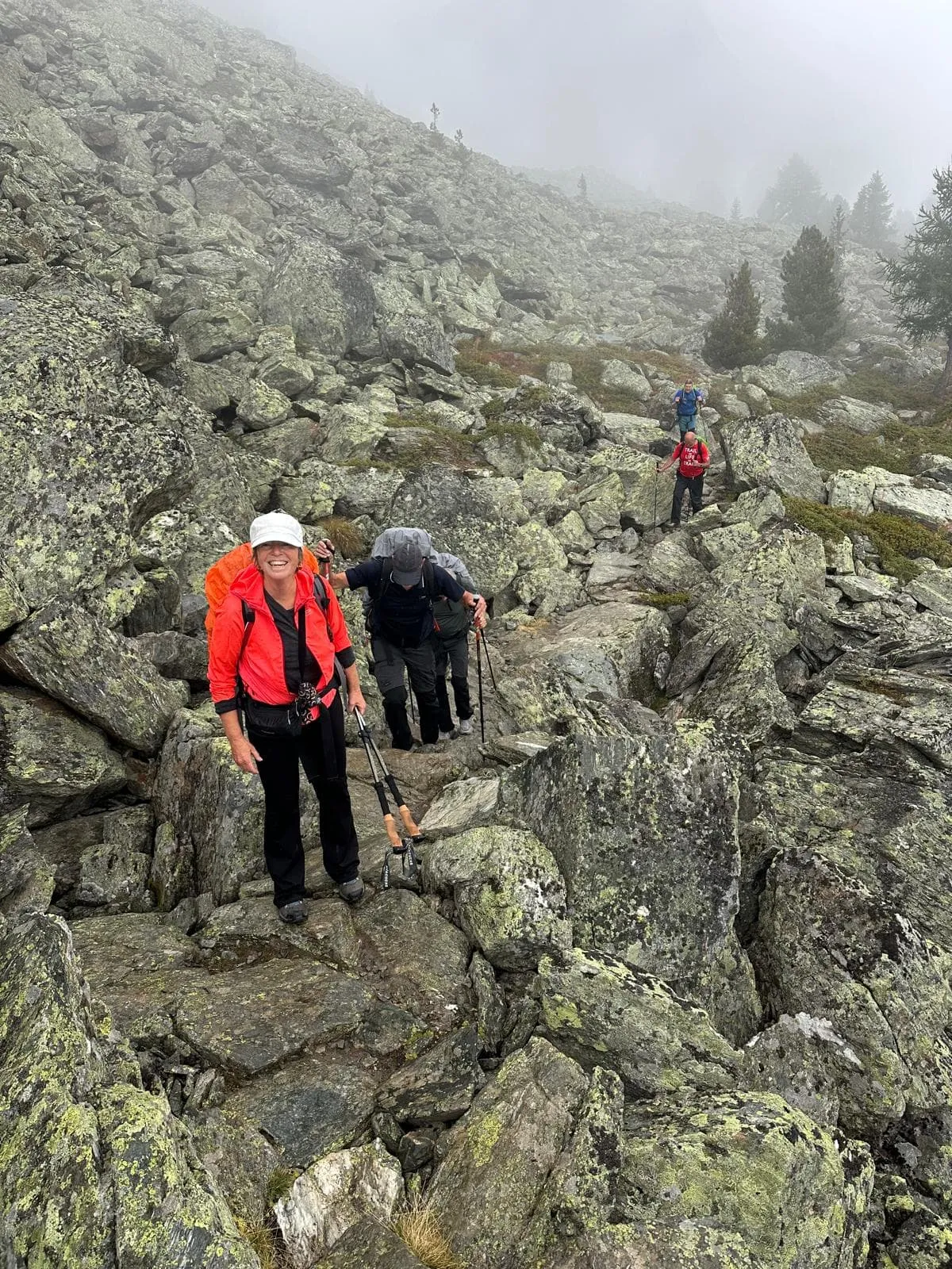
Full Walker's Haute Route

Duration: 13 days
Trails: T3 trails
Distance: More than 20 km per day
Ascent per day: More than 1000 m ascent per day

> Cross 11 mountain passes, cover 200 kilometers of trails
> Spend the nights in Mountain Huts and local Hotels
> Start in Chamonix, end in Zermatt

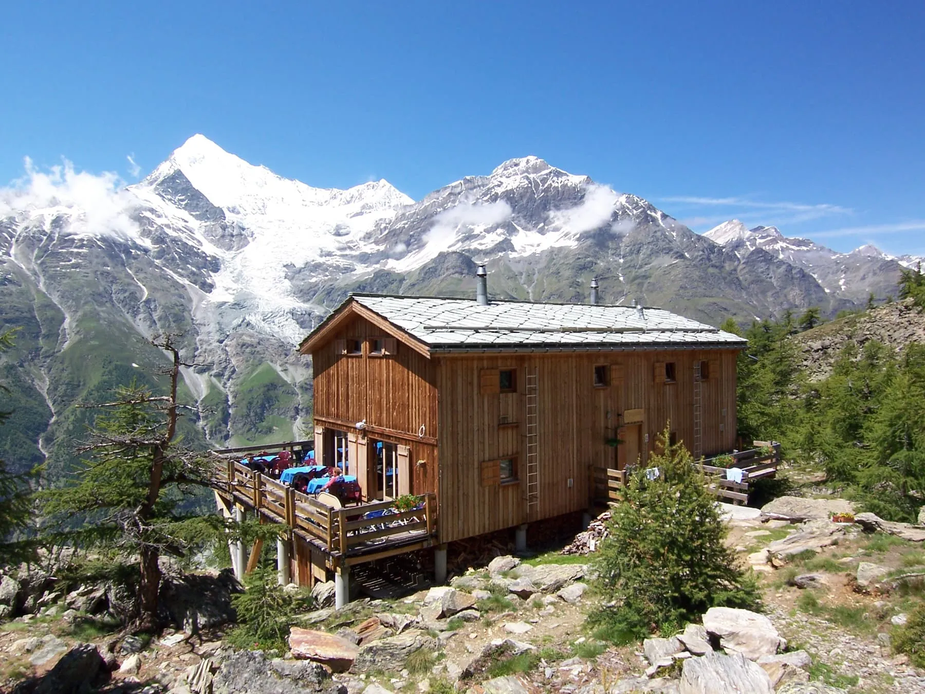
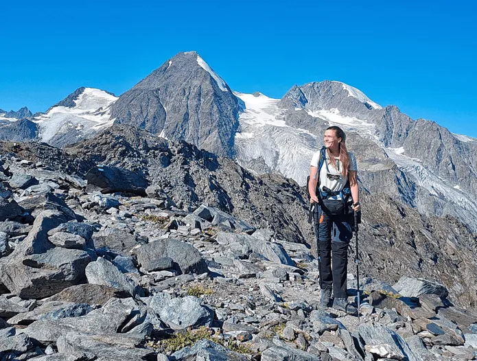
The Walkers Haute Route connects two of the most well-known mountain towns in the Alps - Chamonix, France, and Zermatt, Switzerland. Typically starting from Mont Blanc and finishing at Matterhorn, it crosses 11 mountain passes, covering about 200 kilometers - offering a multitude of variations and route options. Chamonix is also known as a starting point for the Tour du Mont Blanc. Unlike the Tour du Mont Blanc, the Walker's Haute Route doesn't go round. It does feature a part of the route of the TMB. Up until Swiss Champex and via Trient, the route follows some stages of the Tour du Mont Blanc.

This 12-day route then continues further into Switzerland, via Le Châble, Mont Fort, Prafleuri, Arolla, and La Sage. Along the way, the trek offers an unprecedented world of contrasts. Glaciers and snow-capped peaks are guaranteed, but you can also expect beautifully lush green valleys, alpine meadows, and the most picturesque Alpine villages. Cross the Rösti curtain, the symbolic border between French and German-speaking Switzerland between Zinal and Gruben. The final stages via St. Niklaus and the Europa Hütte bring you to one of the most iconic peaks of the Alps, the Matterhorn, and to that other mountaineering capital: Zermatt.

Itinerary

Day
1

Chamonix to Trient

Duration: 09:05 h
Distance: 23.6 km
Ascent: 1320 m
Descent: 1070 m
The first stage of the Walker's Haute Route is an excellent introduction to Alps trekking. You'll make your way up the reasonably easy Col de Balme before descending steeply to the small hamlet of Le Peuty. Continue on the road from Le Peuty for 10 - 15 minutes until you reach Trient, which has a charming pink church.

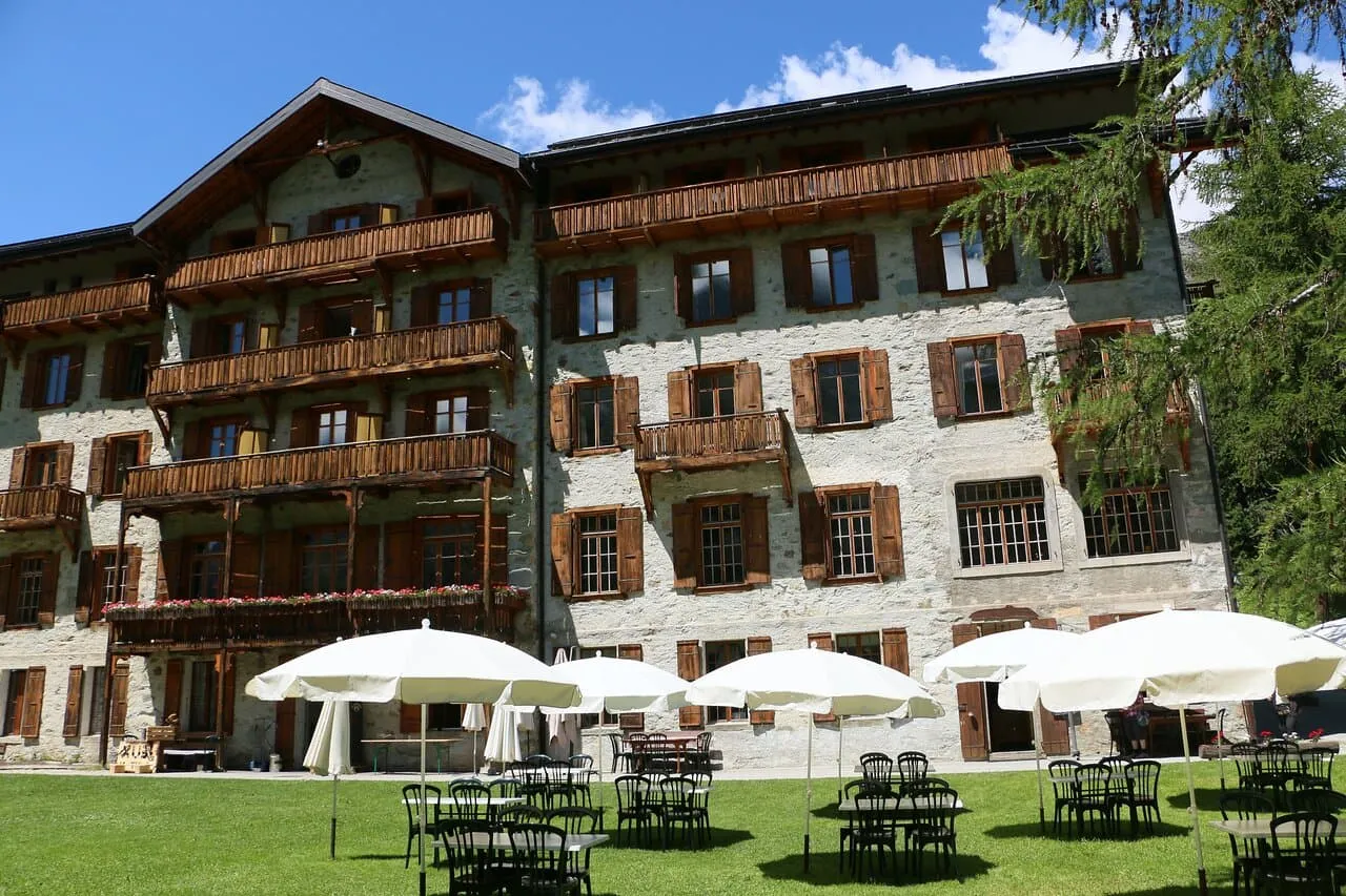
Auberge Mont Blanc

Info
Auberge Mont Blanc
Auberge Mont Blanc
Day
2

Trient to Champex

Duration: 07:24 h
Distance: 14.9 km
Ascent: 1370 m
Descent: 1200 m
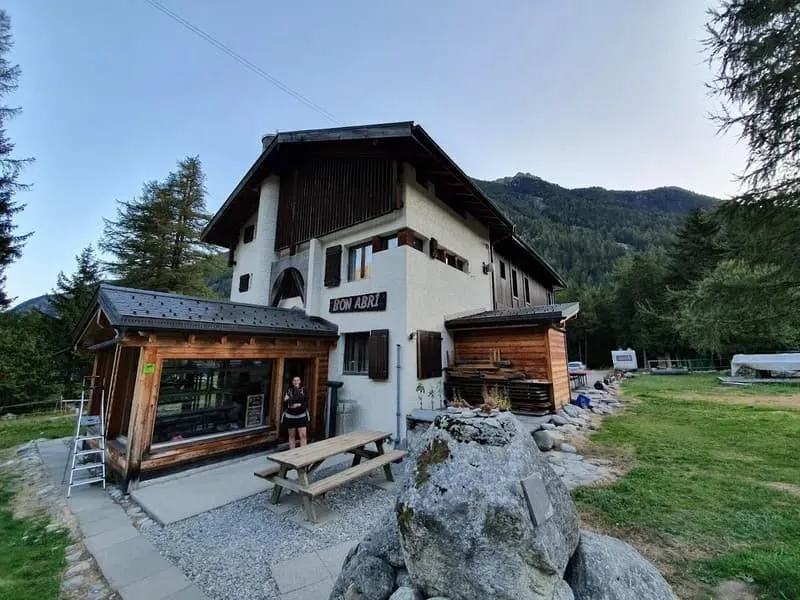
The second stage of the Walker's Haute Route is the most difficult but also rewarding of the entire walk. En route to Champex, you'll pass through the well-known Fenêtre d'Arpette. Enjoy the spectacular views of the Trient Glacier, but be cautious on the initial descent from the pass's summit. Spend an evening unwinding in Champex, a charming lakeside village. In addition to the Fenêtre d'Arpette path described above, an alternate 'Alp Bovine' route is available for Stage 2. This route follows the same track as the Tour du Mont Blanc and is a good alternative in bad weather because it does not reach the heights or exposed character of the Fenêtre d'Arpette. It is nonetheless a beautiful hike.

Gite Bon Abri

Info
Gite Bon Abri
Gite Bon Abri
Day
3

Champex to Le Châble

Duration: 05:10 h
Distance: 16.5 km
Ascent: 310 m
Descent: 930 m

The day begins with a gentle walk along the shores of Lac de Champex, a peaceful start with reflections of the surrounding peaks in the water. From here, the trail begins to descend.

You’ll follow a panoramic gravel path with wide mountain views as you make your way down to the village of Sembrancher. After reaching Sembrancher, continue along the final stretch beside the Dranse river until you arrive in Le Châble, your destination for the day.

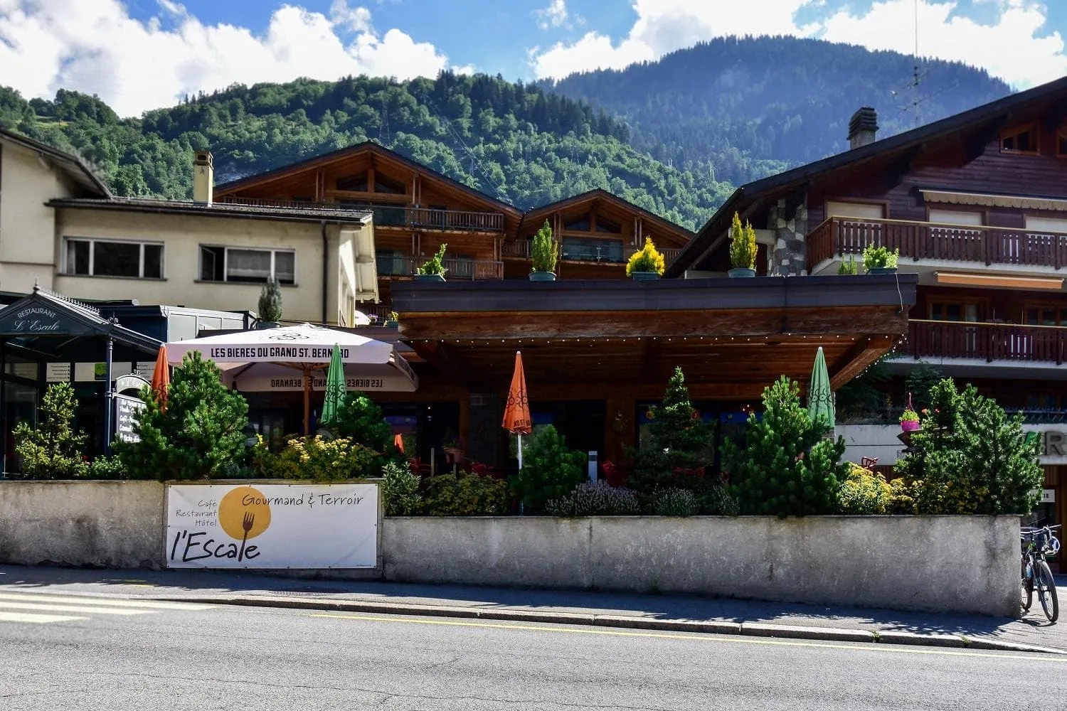
Hôtel l'Escale - Le Châble - Verbier

Info
Hôtel l'Escale - Le Châble - Verbier
Day
4

Le Châble to Cabane de Louvie

Duration: 08:20 h
Distance: 17.1 km
Ascent: 1870 m
Descent: 480 m
The fourth stage of the Walker's Haute Route is ideal for individuals who dislike steep descents because it is all uphill! As you make your journey from the valley to the beautiful Cabane de Mont Fort, you'll climb nearly 1,800 meters in elevation. It's worth noting that you can take the cable car from Le Chable to Les Ruinettes via Verbier before continuing on to Cabane de Louvie. If you need a simpler hike, this will reduce much of the hiking of the day for you.

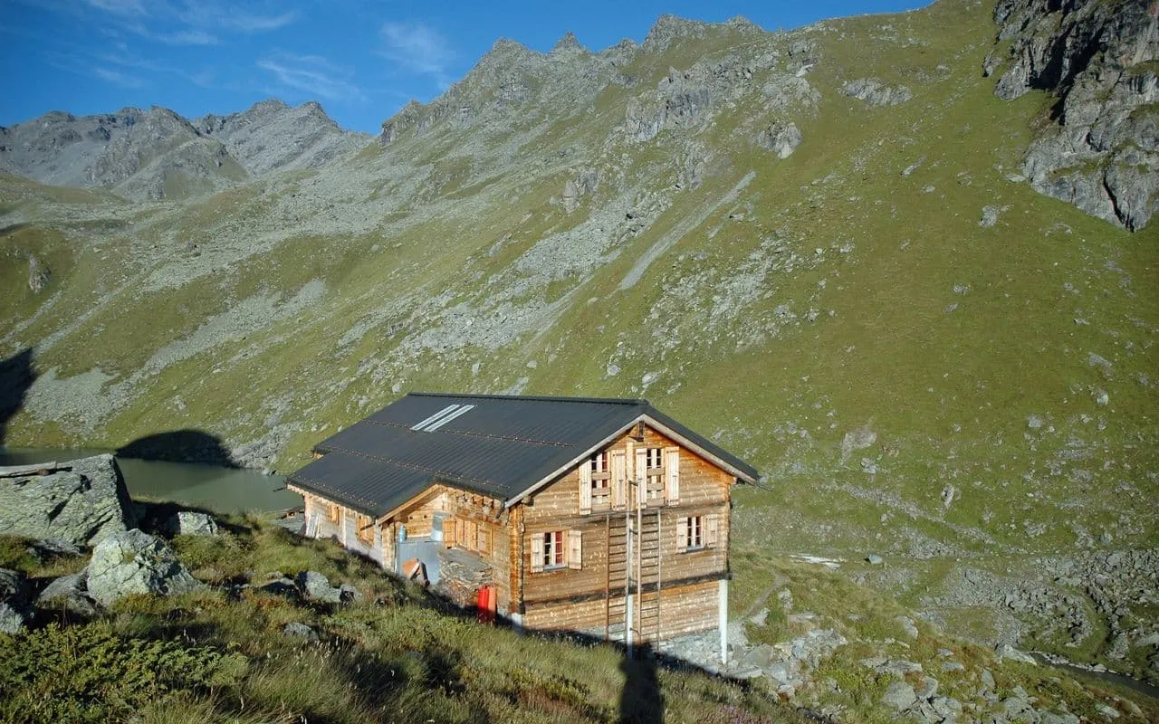
Cabane de Louvie

Info
Cabane de Louvie
Cabane de Louvie
Day
5

Cabane de Louvie to Cabane de Prafleuri

Duration: 05:45 h
Distance: 11.4 km
Ascent: 940 m
Descent: 510 m
Stage five is a particularly challenging stage, as the course frequently remains snow-covered far into July. The main route follows the stunning Sentier des Chamois trail before crossing the Col Termin. Hikers will cross the hillside from here before reaching the Col de Louvie and the Grand Desert beyond. The Grand Desert is a very secluded section of the walk, and you should be careful, especially when there is snow. Next, it’s time to trek across the Col de Prafleuri before descending to the same-named mountain hut.

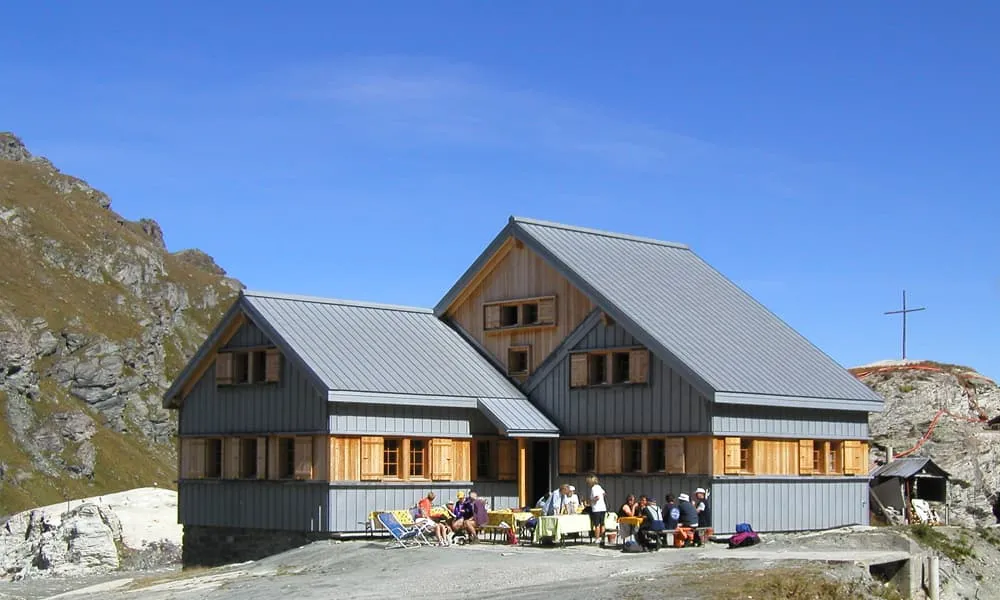
Cabane de Prafleuri

Info
Cabane de Prafleuri
Cabane de Prafleuri
Day
6

Cabane de Prafleuri to Arolla

Duration: 07:10 h
Distance: 17.7 km
Ascent: 650 m
Descent: 1260 m
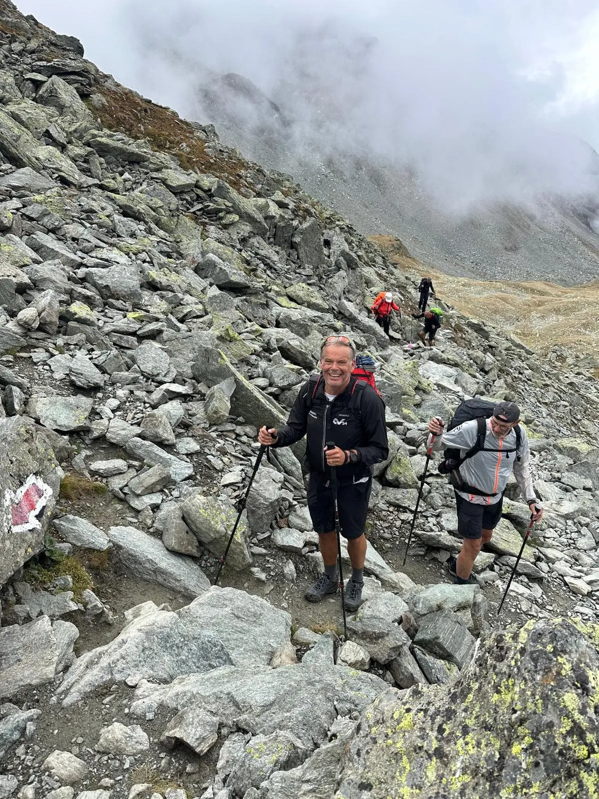
Another challenging day awaits those on the Walker's Haute Route on stage six, with the crossing of the Pas de Chèvres and its iconic ladders. The climb up to the ladders over the boulder-strewn environment is significantly more challenging than the ladders themselves. In either case, take your time and be cautious as you approach the top of the pass and on the ladders. Crossing the nearby Col de Riedmatten is generally considered more challenging, so for most hikers, it might be the better option to choose the Pas de Chèvres. After crossing the pass, you'll have a lovely descent into the picturesque Swiss village of Arolla.

Grand Hôtel & Kurhaus (Arolla)

Info
Grand Hôtel & Kurhaus (Arolla)
Day
7

Arolla to La Sage

Duration: 04:05 h
Distance: 11.6 km
Ascent: 350 m
Descent: 740 m
Trekkers can finally enjoy a pretty easy day on stage seven of the Walker's Haute Route after several challenging stages. The trail makes its way down the valley shoulder between Arolla and Les Hauderes, passing the lovely Lac Bleu. It's a short and enjoyable climb from Les Hauderes to the day's finish in La Sage.

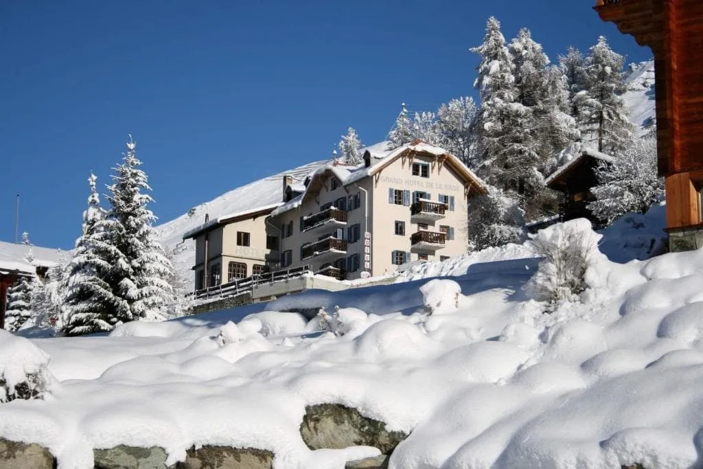
Hotel de la Sage (La Sage)

Info
Hotel de la Sage (La Sage)
Day
8

La Sage to Zinal

Duration: 10:35 h
Distance: 22.1 km
Ascent: 1840 m
Descent: 1820 m
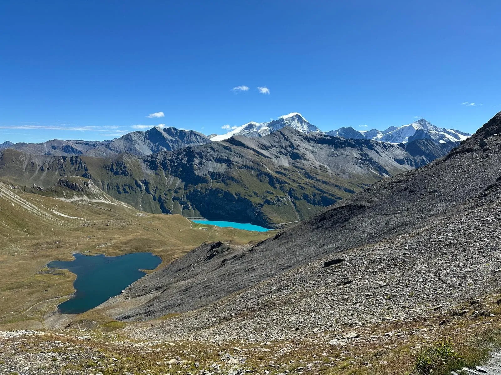
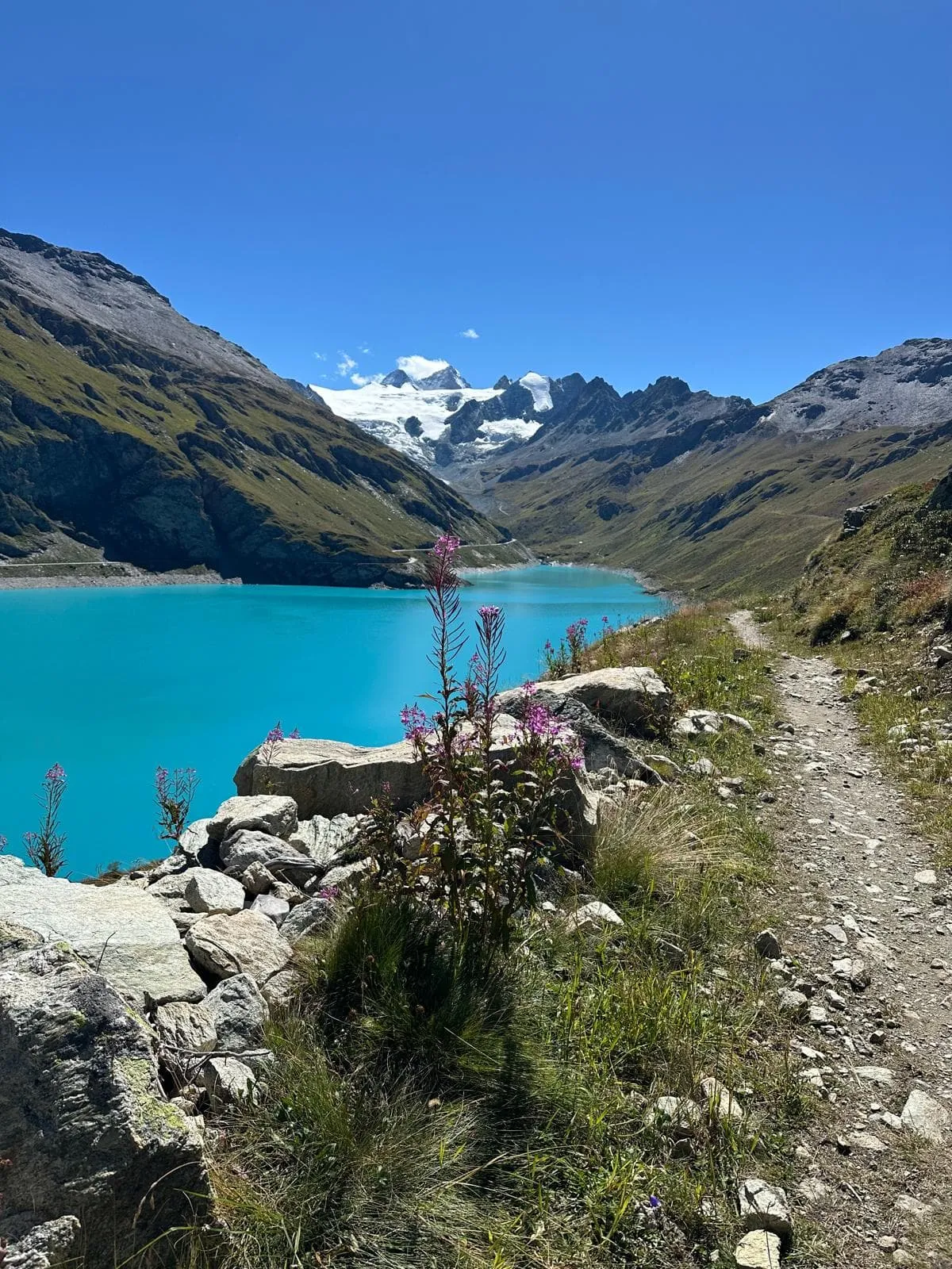
This stage starts with a steady climb from La Sage to the Col de Torrent, offering wide views of the surrounding peaks. You then descend to the turquoise Lac de Moiry and follow the trail to the Cabane Barrage de Moiry, a perfect spot for a break. From there, the route climbs again to the Col de Sorebois with sweeping alpine views, followed by a descent through a ski area into the mountain village of Zinal.

Hôtel Le Besso (Zinal)

Info
Hôtel Le Besso (Zinal)
Day
9

Zinal to Gruben

Duration: 07:25 h
Distance: 17 km
Ascent: 1190 m
Descent: 1040 m
On this stage of the Walker’s Haute Route, you’ll cross the “Röstigraben”—Switzerland’s informal boundary between French- and German-speaking regions. The route is moderately challenging, though less demanding than some of the previous stages. You’ll make your way up to the Forcletta pass, the high point of the day, before descending into the quiet alpine village of Gruben.

Hotel Schwarzhorn (Gruben)

Info
Hotel Schwarzhorn (Gruben)
Day
10

Gruben to St. Niklaus/Gasenried

Duration: 09:00 h
Distance: 17.5 km
Ascent: 1070 m
Descent: 1810 m
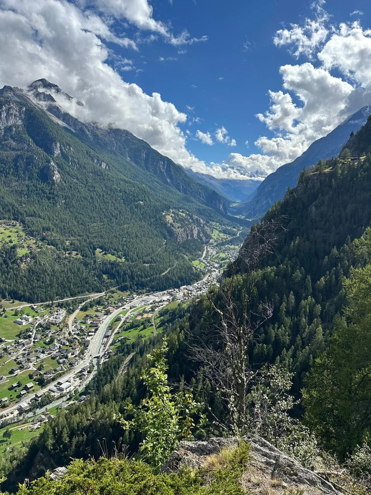
Today's stage takes hikers on the Walker's Haute Route over their final mountain crossing and into the Mattertal valley, where Zermatt is located. The descent from the top of the Augstbordpass offers breathtaking views of the Alps beyond. When you arrive in the charming village of Jungen, you can take a cable car down into St. Niklaus to have a short break. If you want to continue your Walker's Haute Route journey by hiking the Europaweg trail, we recommend either hiking or catching the local bus from St. Niklaus to the town of Gasenried, which is just up the hill. If you can't find a place to stay in Gasenried, travel a little further to the village of Grachen. This will save you a tough start to the following stage and set you up for a fantastic final two days on the Europaweg to complete the Walker's Haute Route!

Hotel Heimatlodge (St. Niklaus)

Info
Hotel Heimatlodge (St. Niklaus)
Day
11

St. Niklaus/Gasenried to Europahütte

Duration: 07:45 h
Distance: 17.9 km
Ascent: 1880 m
Descent: 720 m
The Europaweg trail is a two-day hike that completes the Walker’s Haute Route. It includes some exposed sections but is a spectacular way to finish your journey. After leaving Gasenried, the trail climbs steadily along the mountainside, with wide views over the valley below. Along the way, you'll cross a suspension bridge before reaching the Europa Hut. The path can be rocky in places, but the dramatic setting makes for a rewarding and memorable stage.

Europa Hut

Info
Europa Hut
Europa Hut
Day
12

Europahütte to Zermatt

Duration: 08:00 h
Distance: 23.4 km
Ascent: 810 m
Descent: 1470 m

The final stage of the Walker's Haute Route will take you across the world's longest suspension bridge, the famed and stunning Charles Kuonen Suspension Bridge. While this is undoubtedly the highlight of the journey, don't forget to take in the breathtaking vistas of the Matterhorn as you make your way to Zermatt. As you near the end of the trip, you'll find yourself among Zermatt's many ski slopes and the increasing number of tourists who come there. Enjoy a final descent before congratulating yourself on an amazing accomplishment in Zermatt!

Note: A short section of the Europaweg trail has been rerouted due to previous trail maintenance work. The detour is well-marked, keeps the route safe, and allows continued access to the Charles Kuonen Suspension Bridge. Please note that this variation makes the stage slightly longer.

Included

  • Booking the huts

    We will take care of arranging accommodation on the Walkers Haute Route for you. We will also provide you with a detailed itinerary for every stage and instructions on how to get to the trailhead.

  • Full travel guide

    You’ll receive access to our trekking app, which serves as your complete digital travel guide for the Walkers Haute Route. Inside, you’ll find everything you need for your trek: route descriptions, hiking maps, navigation support, payment information, and all the key details specific to your journey.

  • Hotels, Hostels or Huts

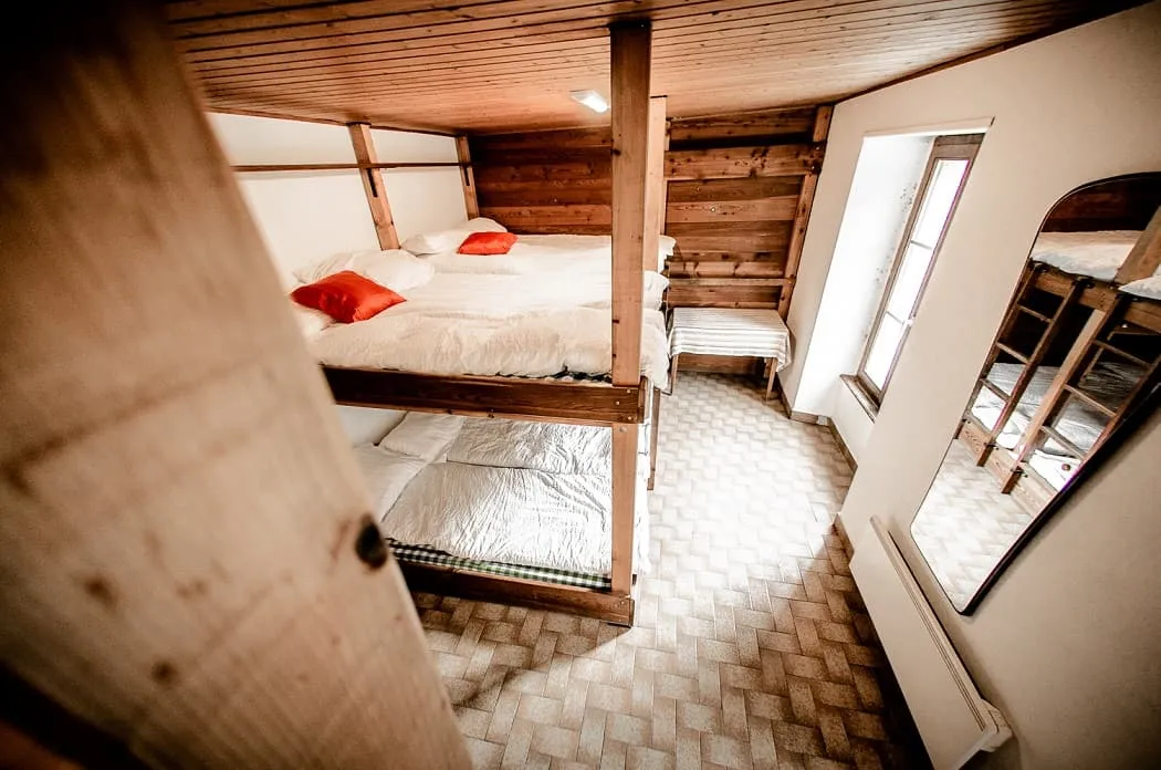
    We arrange your accommodation on the Walkers Haute Route in hotels, hostels or huts along the way. We have selected accommodations on our trek based on the length of each stage and recommendations from hikers who have gone before us on the Walkers Haute Route.

  • Half-board in Huts

    Accommodation at the huts includes dinner and breakfast. We will arrange this for you as well. This allows you to travel lighter and have one less thing to worry about. Bear in mind that lunch is not included, but it can be purchased at the huts. Here you can also buy an array of snacks and bottled water.

  • Breakfast in Hotels

    In the Hotels, we include Breakfast for you. Bear in mind that lunch and dinner are not included, but they can be most of the time purchased in or near the hotels.

  • Navigation support

    Our trekking app also includes built-in navigation support. With GPS-based maps and offline access, you can follow the trail confidently and stay on route even without mobile signal.

Excluded

  • Traveling to and from

    You have to make your own way to the starting point. The total amount does not include personal transport.

  • Transfers

    Should you need any form of (public) transport on location, this is not part of the trekking package. This includes the use of taxi, bus, cable cars, gondolas, ferries, etc.

  • Travel Insurance

    Your international travel insurance is your own responsibility. Discuss your itinerary with the insurance company before your trek.

  • Personal expenses

    Personal expenses on such as souvenirs, drinks, and other similar expenses are for your own account.

FAQ

  • Is the Walker's Haute Route For Me?

  • What Is the Best Season for Hiking the Walker's Haute Route?

  • Getting to and from

  • What if the dates I want are not available?

  • If I book now, can I immediately arrange the rest of my trip?

  • How do I know if this trek is right for me?

How to Book

  • Booking

  • Availability

  • Cancellation policy

Reviews

Reviews