Southern Alta Via 1

Duration: 6 days
Trails: T3 trails
Distance: 10 - 15 km per day
Ascent per day: 500 - 1000 m ascent per day
> Hike the Southern side of the Alta Via 1, from Cortina to the La Pissa bus stop
> Spend the night in cozy Italian Rifugios
> Bookatrekking.com arranges all the huts along the way

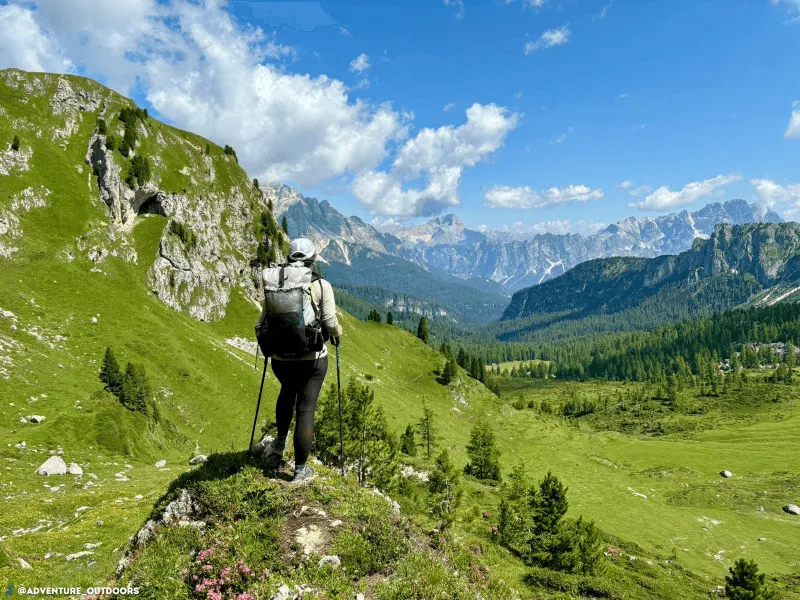
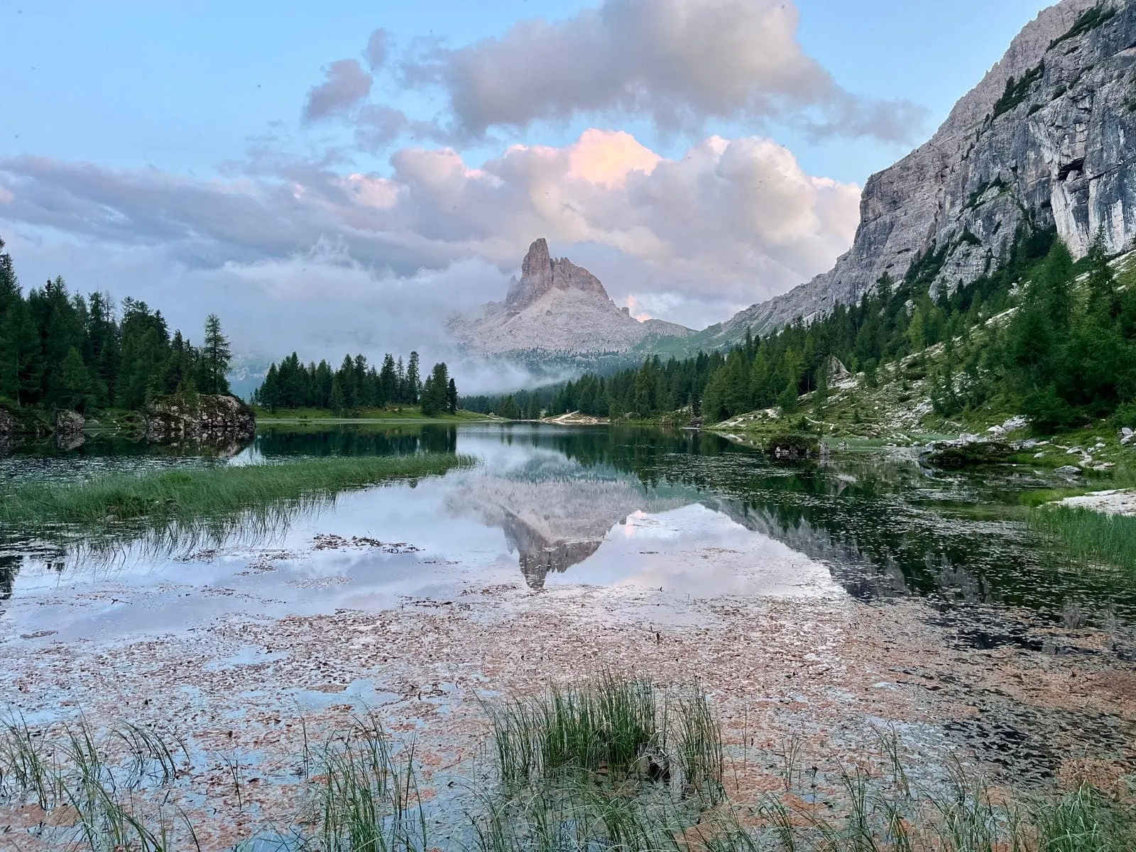
The Alta Via 1, also known as the Dolomite High Route 1, is one of Italy's most famous trekking trails and is the easiest and most popular of the high routes that go through the Dolomites. The Dolomites are located in north-eastern Italy and stretch throughout the provinces of Belluno, South Tyrol, and Trentino.

During this 6-day adventure you will hike the Southern side of the Alta Via 1, from Cortina d'Ampezzo to the La Pissa bus stop. Along the way, you'll spend the entire day exploring the breathtaking Dolomites. This section includes the world-famous Cinque Torri, one of the most marvellous rock formations in the Nuvolau Group. You will spend the night in atmospheric and hospitable mountain huts, also called rifugios. Here you can enjoy delicious Italian dishes and meet many other hikers. Bookatrekking.com makes sure that your huts are booked including dinner and breakfast. The only thing left for you to do is to enjoy the beautiful trails on the Alta Via 1.

Itinerary

Day
1

Cortina d'Ampezzo - Rifugio Scoiattoli

Duration: 06:40 h
Distance: 15.3 km
Ascent: 1560 m
Descent: 540 m
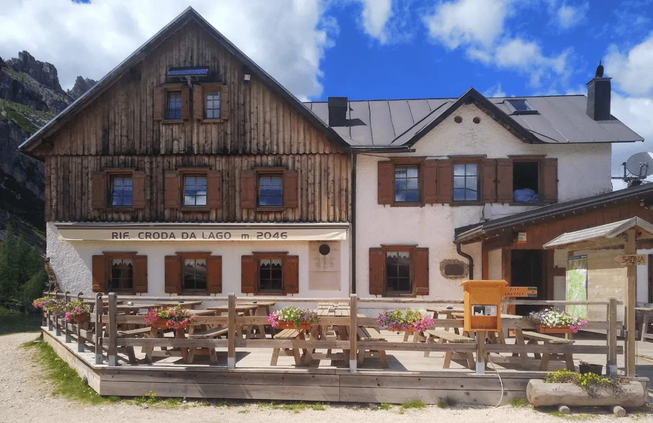
The Dolomites are calling. From Cortina d'Ampezzo, you have two options. Either cover half the distance by cable cars or public transportation, or take the steep but rewarding hike to Passo Falzarego, below Lagazuoi. Along the way you'll pass a number of rifugios such as Duco D'Aosta, Pomedes and Dibona, giving you some opportunities to take a cable car. Your destination is Cinque Torri, the center for climbing, and worth a detour to explore the “five towers.” You'll stay overnight at Rifugio Scoiattoli, but you'll want to catch the sunset at the adjacent Rifugio Nuvolau, the recently renovated rifugio built on a spire and offering a 360-degree panorama.

Rifugio Scoiattoli

Info
Rifugio Scoiattoli
Rifugio Scoiattoli
Day
2

Rifugio Scoiattoli - Rifugio Passo Staulanza

Duration: 06:40 h
Distance: 16.6 km
Ascent: 580 m
Descent: 1040 m

The stage begins with the most technically challenging and exposed part of the entire route: a series of via ferrata paths with cables and ladders descending from Nuvolau into the valley. This section is thrilling but short. If you follow our route, you’ll pass by this via ferrata but won’t actually use it. You will, however, encounter a section with ladders and fixed cables to hold on to. These kinds of cables are common along the route; they are there for extra support and do not require any special equipment.

Then you descend the rest of the way to a mountain pass near the valley where you start climbing again, to the pass of Forcella Ambrizzola. As you cross this pass, the impressive Monte Pelmo looms in the background. Here you descend through stretches of forest until Monte Pelmo, also known as the Throne of the Gods, suddenly comes incredibly close. You continue past Rifugio Città di Fume to the Staulanza pass where you find the cozy Rifugio Passo Staulanza.

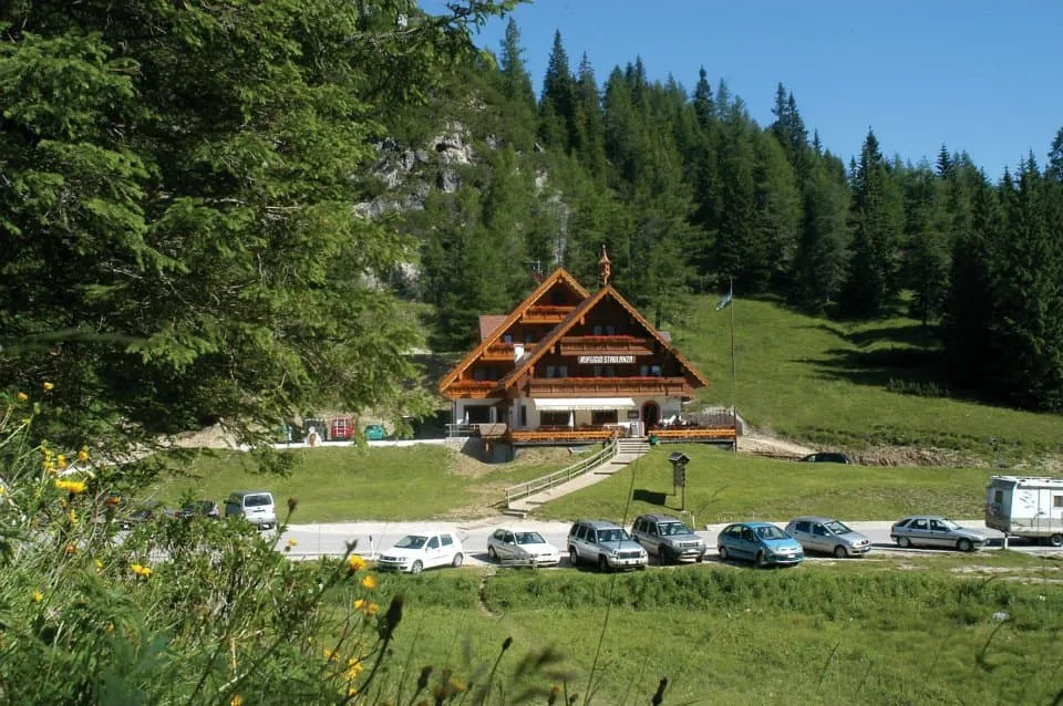
Tip: At Rifugio Passo Staulanza you can relax and recharge after a long day on the trails in their wellness center and hot tub with stunning views of Monte Pelmo (extra fee). The hut also offers a laundry and drying service for an additional charge, should you wish to use it.

Rifugio Passo Staulanza

Info
Rifugio Passo Staulanza
Day
3

Rifugio Passo Staulanza - Rifugio Vazzoler

Duration: 05:25 h
Distance: 16.3 km
Ascent: 900 m
Descent: 970 m
Today you will make a long steep ascent past Rifugio Coldai where you will enter the surroundings of Monte Civetta. Along the way you will enjoy some of the best views of the magnificent massive Pelmo that towers high above the valley from Rifugio Coldai. Continue on to the beautiful Lago Coldai. You can take a break at Rifugio Tissi, a popular rifugio on the Alta Via 1, but the goal for today is Rifugio Vazzoler, on the south side of Punta de Gasperi.

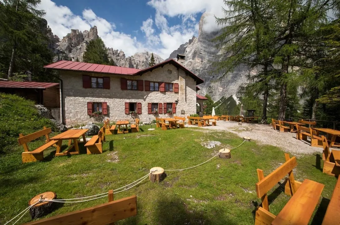
Rifugio Vazzoler

Info
Rifugio Vazzoler
Rifugio Vazzoler
Day
4

Rifugio Vazzoler - Rifugio Carestiato

Duration: 05:15 h
Distance: 9.19 km
Ascent: 640 m
Descent: 540 m
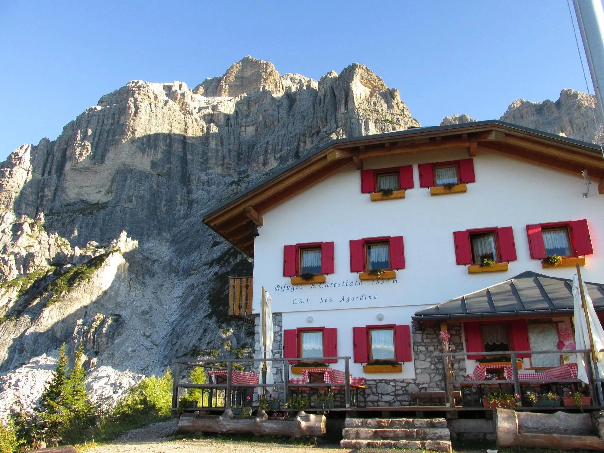
From Rifugio Vazzoler you will descend gently through meadows across from the phenomenal Monte Civetta as you round the southernmost corner of the Civetta. From here you will begin a steady climb approaching the thrilling pass of Col de l'Ors. After this follows a brief short climb to Forcella del Camp. You descend and traverse through large hoods and scree before reaching Rifugio Carestiato.

Rifugio Carestiato

Info
Rifugio Carestiato
Rifugio Carestiato
Day
5

Rifugio Carestiato - Rifugio Pramperet

Duration: 06:00 h
Distance: 13.6 km
Ascent: 500 m
Descent: 450 m

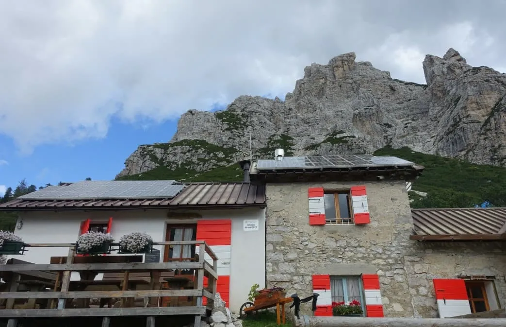
Your hike today begins at the foot of the Moiazza Mountains. From Rifugio Carestiato walk down in a southeast direction until you reach the Dolomiti Bellunesi National Park. After about 2.5 kilometers you will arrive at Passo Duran. Here you will find, among other things, Rifugio San Sebastiano, a small church and have a beautiful view of the Moiazza and San Sebastiano mountains.Continue walking south and after about 3 kilometers you will pass Forcella Dagarei (1642m).

From Forcella Dagarei the path slowly starts to climb again and after about 4.5 kilometers and 260 altimeters you will arrive at Malga Moschesin. From here the trail continues in an easterly direction. After Malga Moschesin you still have to walk uphill for a short distance, but after this last stretch the climbing is over for today. During the last kilometers of the day you walk mainly downhill and before you know it you have arrived at Rifugio Sommariva al Pramperet.

Rifugio Pramperet

Info
Rifugio Pramperet
Rifugio Pramperet
Day
6

Rifugio Sommariva al Pramperet - La Pissa

Duration: 08:40 h
Distance: 18.3 km
Ascent: 720 m
Descent: 2110 m

The final leg of your hike is about to begin. According to many, this is the most beautiful part of the complete Alta Via 1! From the Rifugio you will walk westward where you will have a view of the Cime di Zita formation. From here begins the climb to one of the most difficult passes of the entire trek, the Forcella di Zita Sud. This is one of the most beautiful passages of the entire Alta Via 1. After a final steep ascent, you reach the narrow, exposed Rocky Ridge. Here you have several steep sections, which are short, but certainly not easy. The pass is the gateway to one of the most beautiful descents of the Alta Via 1. The descent is gradual at first, but then goes down steeply along a grassy ridge before you reach Rifugio Pian di Fontana.

From Rifugio Pian di Fontana, you descend quickly for a short but steady wooded climb to a grassy path and dizzying views downward. After passing Rifugio Bianchet, you enter a beautiful ravine as you make the final descent to the La Pissa bus stop, where the Alta Via 1 ends.

Included

  • Booking the huts

    We will take care of arranging accommodation on the Alta Via 1 for you. We will also provide you with a detailed itinerary for every stage and instructions on how to get to the trailhead.

  • Full travel guide

    You’ll receive access to our trekking app, which serves as your complete digital travel guide for the Alta Via 1. Inside, you’ll find everything you need for your trek: route descriptions, hiking maps, navigation support, payment information, and all the key details specific to your journey.

  • Accommodation

    During your Alta Via 1, you will spend your nights in mountain huts. In the mountain huts we normally only book dormitories, but we can look into private rooms on request. If the private rooms are fully booked or not available in the hut, we automatically book a bed in dormitories for you. Please note that private rooms are more expensive and there will be an additional charge for this.

  • Half board (where possible)

    Accommodation in the huts includes dinner and breakfast, unless otherwise indicated in the exclusive list. This allows you to travel lighter and not have to worry about an extra meal. Please note, however, that lunch is not included, but can be purchased at the huts.

  • Navigation support

    Our trekking app also includes built-in navigation support. With GPS-based maps and offline access, you can follow the trail confidently and stay on route even without mobile signal.

Excluded

  • Traveling to and from

    You have to make your own way to the starting point. The total amount does not include personal transport.

  • Transfers

    Should you need any form of (public) transport on location, this is not part of the trekking package. This includes the use of taxi, bus, cable cars, gondolas, ferries, etc.

  • Lunch

    Half-board is included in the price of this trek. Lunch, however, is not. You can get something to eat at the mountain huts along the way.

  • Travel Insurance

    Your international travel insurance is your own responsibility. Discuss your itinerary with the insurance company before your trek.

  • Personal expenses

    Personal expenses on such as souvenirs, drinks, and other similar expenses are for your own account.

FAQ

  • Difficulty of the Alta Via 1: Is This Trek Right for Me?

  • When Is the Best Season to Hike the Alta Via 1 in the Dolomites?

  • How to Get To the Starting Point of the Alta via 1

  • How to Get From the Endpoint Back to Cortina D’Ampezzo

  • What if the dates I want are not available?

  • If I book now, can I immediately arrange the rest of my trip?

  • How do I know if this trek is right for me?

How to Book

  • Booking

  • Availability

  • Cancellation policy

Reviews

Reviews