Destinations
Trekking type


Fimmvörðuháls Hike with accommodation before and after the trek (4 days)
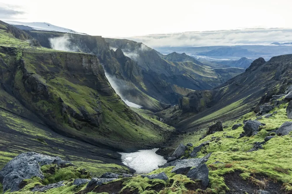
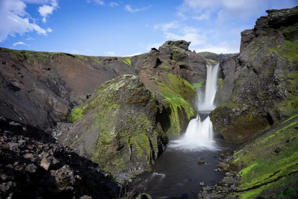
The Fimmvörðuháls Hike is located in the southwest of Iceland - one of the busiest tourist regions in Iceland. The highlight of this hike is the opportunity to walk through a wide variety of landscapes in one day, or rather two days: starting at the ocean, past 26 waterfalls to tundra grasslands, then cross a volcanic plateau where some of the world's most recent volcanic activity has taken place. If you are already struggling with pronunciation, let us help you a bit, Fimveurdihols.
On this 4-day trek, you will walk the Fimmvörðuháls Hike in 2 stages, starting in Skógar and ending in Þórmörk. During the trek, you will enjoy the variety of Iceland. You will walk past 26 waterfalls, cross tundra grasslands, past a volcanic plateau, and through the glaciers of Eyjafjallajökull and Mýrdalsjökull. The immvörðuháls Hike is 30 kilometers, or 18.6 miles long. Before and after the trip, we will arrange accommodation in a hotel or B&B in Reykjavik for you. During the trip, we will arrange the accommodation for you and we will provide you with the walking notes necessary to complete the trail. Are you ready?
Itinerary
Included
-
Booking the huts
We will take care of arranging accommodation on the Fimmvörðuháls Hike for you. We will also provide you with a detailed itinerary for every stage and instructions on how to get to the trailhead.
-
Full travel guide
You’ll receive access to our trekking app, which serves as your complete digital travel guide for the Fimmvörðuháls Hike. Inside, you’ll find everything you need for your trek: route descriptions, hiking maps, navigation support, payment information, and all the key details specific to your journey.
-
Accommodation
During your Fimmvörðuháls Hike, you will spend your nights in mountain huts. In the mountain huts we normally only book dormitories, but we can look into private rooms on request. If the private rooms are fully booked or not available in the hut, we automatically book a bed in dormitories for you. Please note that private rooms are more expensive and there will be an additional charge for this.
-
Navigation support
Our trekking app also includes built-in navigation support. With GPS-based maps and offline access, you can follow the trail confidently and stay on route even without mobile signal.
Excluded
-
Traveling to and from
You have to make your own way to the starting point. The total amount does not include personal transport.
-
Transfers
Should you need any form of (public) transport on location, this is not part of the trekking package. This includes the use of taxi, bus, cable cars, gondolas, ferries, etc.
-
Travel Insurance
Your international travel insurance is your own responsibility. Discuss your itinerary with the insurance company before your trek.
-
Personal expenses
Personal expenses on such as souvenirs, drinks, and other similar expenses are for your own account.
-
Meals
Meals are not included in the price on the Fimmvörðuháls Hike. You can get something to eat at the mountain huts along the way or you can get food from the towns below the trail. If you want to have a warm dinner at the hut, remember to ask for it as soon as you get to the hut.
FAQ
How to Get To the Starting Point of Your Trek
What if the dates I want are not available?
If I book now, can I immediately arrange the rest of my trip?
How do I know if this trek is right for me?
How to Book
Booking
Availability
Cancellation policy

Just for You
Get weekly inspiration with the best treks


