NEW Advanced Aneto-Posets Traverse

  • Duration
    Total 6 days
    Average 6h 25min
  • Distance
    Total 86.1 km
    Average 14.4 km
  • Ascent
    Total +5610 m
    Average +935 m
  • Descent
    Total -5580 m
    Average -930 m

> Traverse the Aneto and Posets areas in 6 days
> Cross rugged T3 terrain with lakes and high mountain passes
> Stay in mountain huts with stunning Pyrenean views

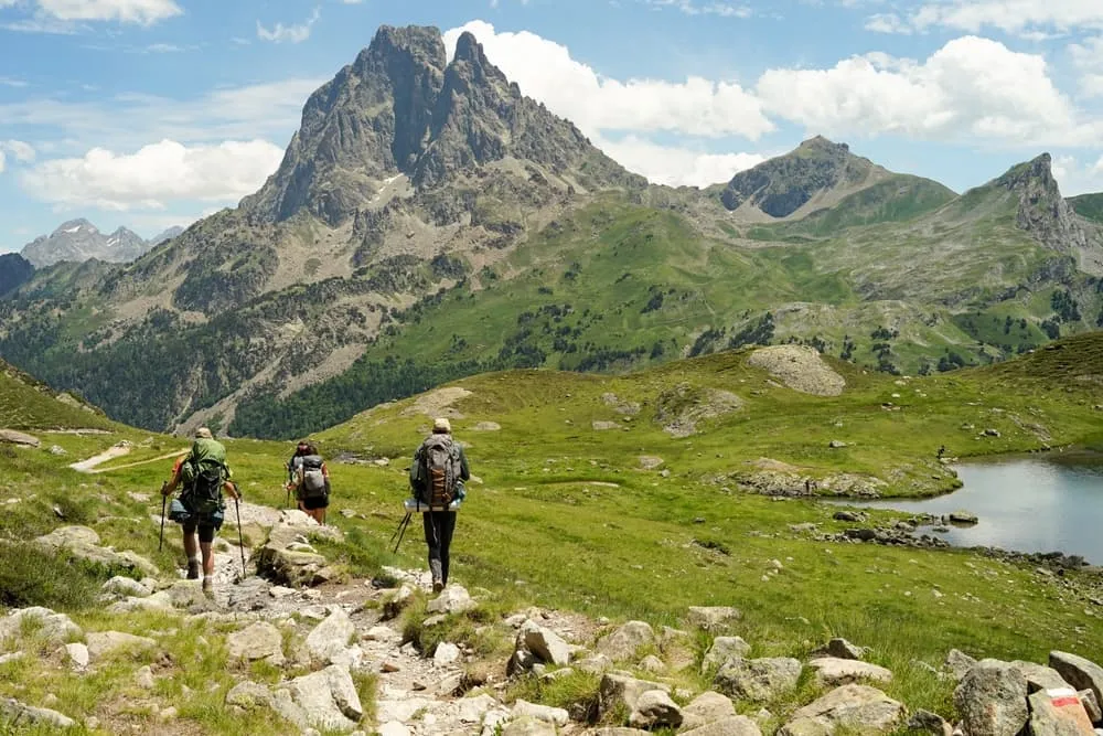
The Advanced Aneto-Posets Traverse is a 6-day hut-to-hut trek through two of the most impressive mountain areas in the Pyrenees. You first explore the Aneto massif, with its rocky trails, high valleys, and serious mountain feel, before heading west towards the Posets area. Along the way, you cross several lakes and passes, including Vallibierna Pass and Bortonés Lake, where the route keeps reminding you that this is not just a walk in the hills. This is bigger, rougher, and a little more demanding.

This trek includes T3 sections, which means more rugged terrain and moments where careful navigation and steady footing are important. The reward? Wild landscapes, changing mountain scenery, and huts with views that make the effort feel very well spent. In 6 days, you connect two iconic Pyrenean regions in one strong traverse, moving from the Aneto massif into Posets country with proper mountain days in between. For experienced hikers looking for a tougher Pyrenees adventure, this 6-day traverse is a strong step up.

Itinerary

Day
1

Estós Valley Parking - Refugio de Cap de Llauset

Duration: 07:30 h
Distance: 18.1 km
Ascent: 1520 m
Descent: 400 m

The trek starts from Estós Valley Parking. From Benasque, make your way to the parking lot to begin, and keep in mind that bus connections can be very limited in this area. A taxi transfer may be the most convenient option. This is a mostly uphill stage with 1,520 m of ascent, so treat it as a demanding climb. Start early, keep a steady pace, and give yourself enough time to reach the hut before the end of the day.

From the parking area you follow the valley at first, passing the Paso Nuevo Reservoir before leaving the lower ground behind. The route then heads into more open mountain terrain and continues for much of the day near the Vallibierna River. Along the way you pass Pleta del Quillón, Río de Vallibierna and Vallibierna Valley, with the climb gradually becoming more serious as you move deeper into the mountains.

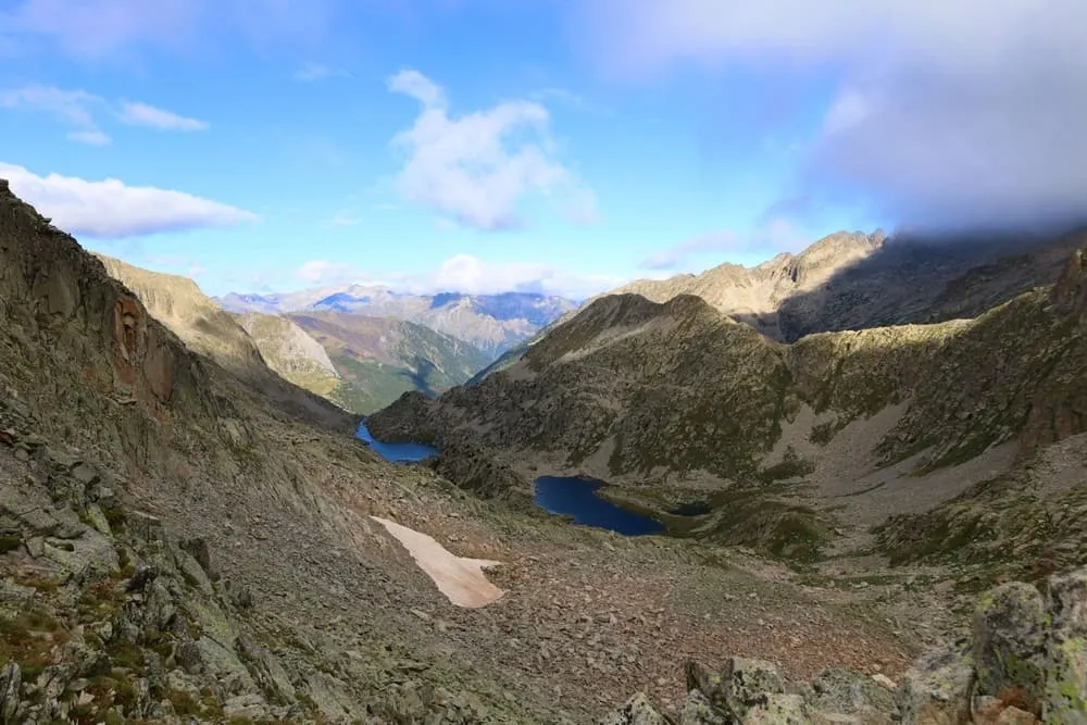
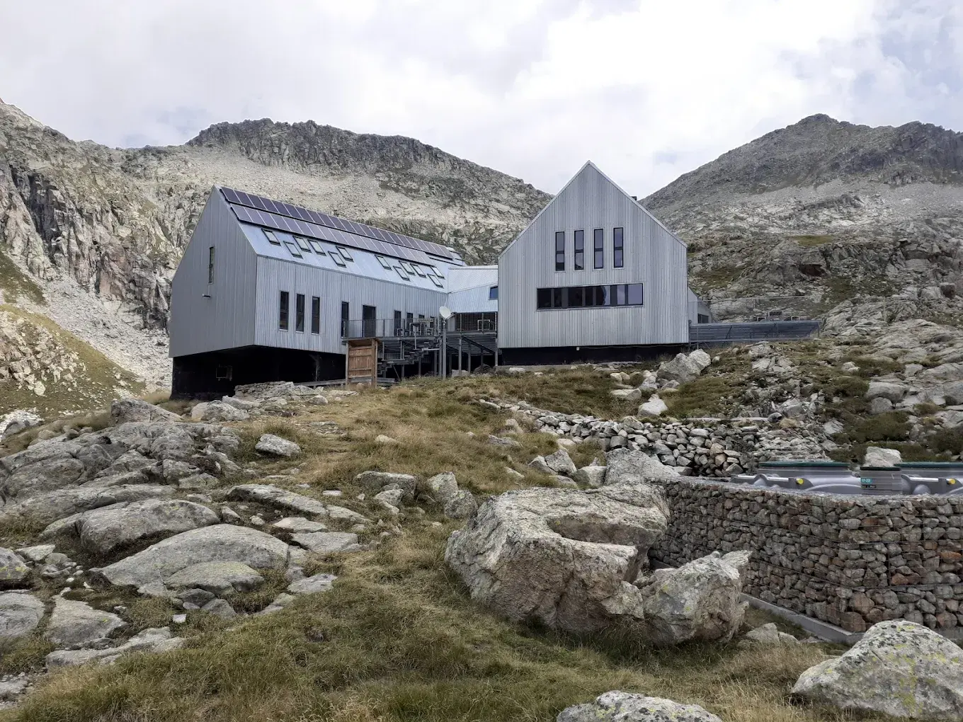
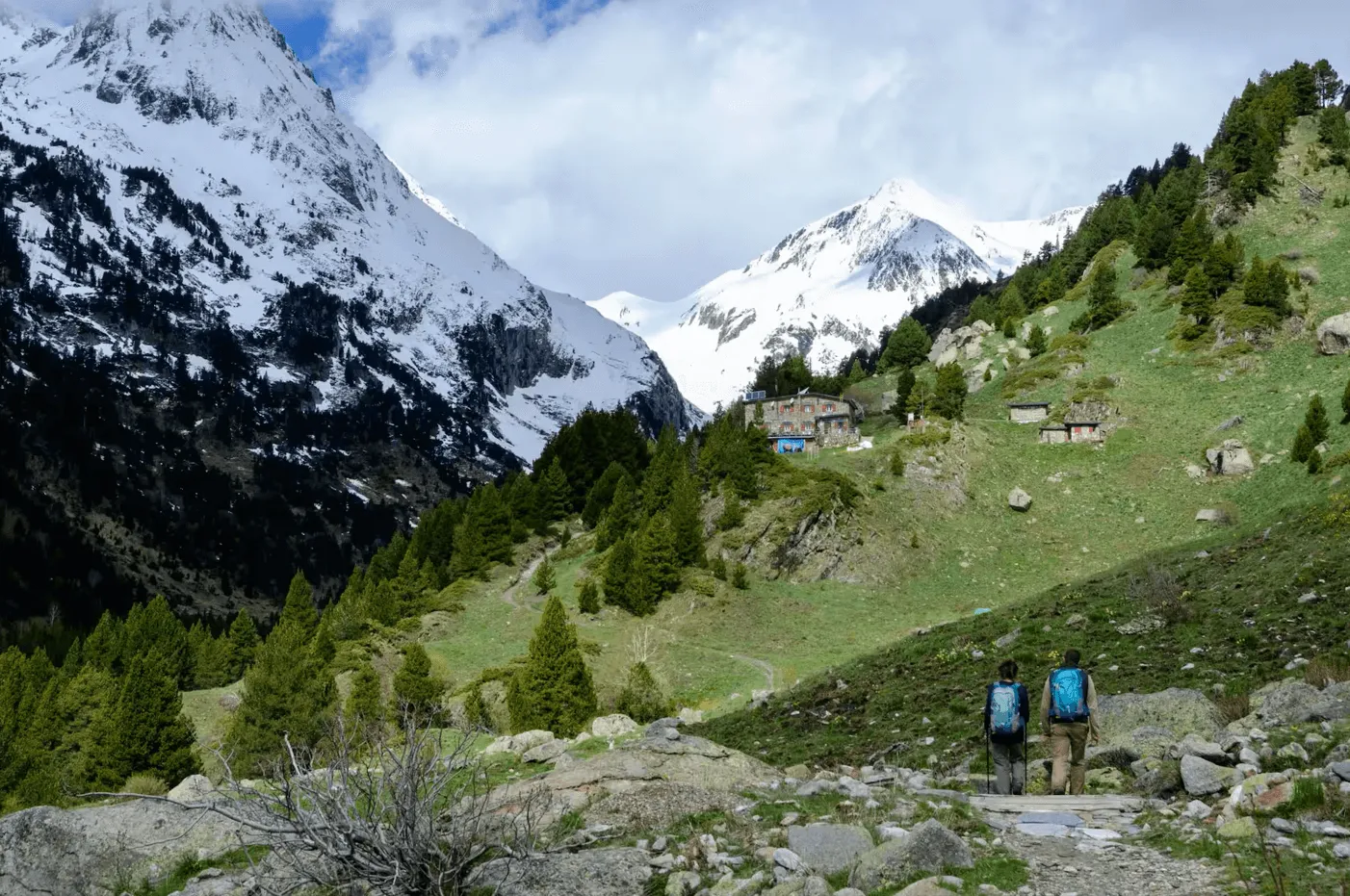
Higher up, the trail reaches the area around Lower Vallibierna Lake and Vallibierna Pass before continuing towards Estany de Cap de Llauset. The final stretch brings you into a lake-filled mountain basin, where the Refugio de Cap de Llauset is your overnight stop. Once you arrive, settle in, refill your energy, and enjoy being high in the mountains after a long climb.

Refugio de Cap de Llauset

Info
Refugio de Cap de Llauset
Day
2

Refugio de Cap de Llauset - Cerler

Duration: 07:30 h
Distance: 15.9 km
Ascent: 860 m
Descent: 1690 m

From Refugio de Cap de Llauset, this route starts high in the mountains and includes 860 m of ascent before the long descent to Cerler. The first part is technically more demanding, with T3 terrain on less trodden and less clearly marked paths. Pay close attention here and use your navigation tools to stay on route. After the higher section, the day becomes mainly a descent, but there is still a second climb before you head down towards the village.

You first head south towards Bortonés Lake, then bend west towards Collada de Llauset. This opening section crosses rougher mountain terrain and requires careful route-finding. After a short descent, the trail climbs again towards Pico de Estibafreda, passing through a quieter high section with broad views across the surrounding ridges. From there, the route turns into a long, steady descent towards Cerler, gradually leaving the open mountain slopes behind.

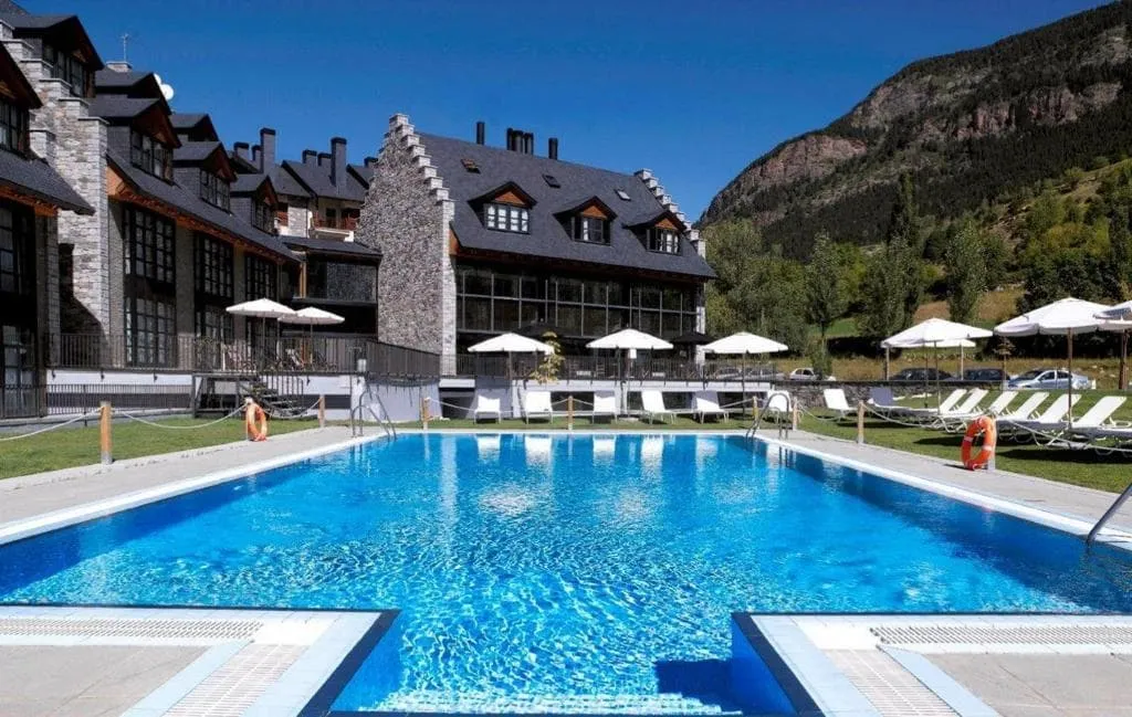
The final kilometres bring you down towards Cerler village, with the terrain becoming gentler as you approach the end point. Your accommodation is in the village, where you can settle into a comfortable hotel after a day in the mountains.

Hotel HG Cerler (Cerler)

Info
Hotel HG Cerler (Cerler)
Day
3

Cerler - Refugio de Estós

Duration: 05:20 h
Distance: 16.2 km
Ascent: 740 m
Descent: 450 m

This stage starts with a descent from Cerler to Benasque, before turning back into the valley and climbing steadily into the mountains. With 740 m of ascent, it is a day to pace carefully, especially after the lower section near town. The route is not overly long, but the second half gains height gradually as you return towards the Estós area. After passing the parking lot, you leave the busier valley floor behind and continue deeper into mountain terrain.

From Cerler, the trail drops towards Benasque and then follows the river valley for a short stretch. You pass the Estós Valley Parking, where the trek started earlier, but this time continue northwest along the Estós River. The route then climbs through the valley, passing Estós Reservoirs and staying close to the river as the surroundings become more alpine. Gorgas de Calantes Waterfall is a clear highlight along this section.

The final part keeps following the Estós Valley towards Refugio de Estós. The approach is gradual, with the path leading you further into the mountains before reaching the hut. Once there, you can settle in and rest after a stage that combines village paths, river valley walking, and a steady climb back to high mountain accommodation.

Refugio de Estós

Info
Refugio de Estós
Refugio de Estós
Day
4

Refugio de Estós - Refugio de Viadós

Duration: 05:25 h
Distance: 11.2 km
Ascent: 720 m
Descent: 860 m

From the stone refuge in the Estós Valley, this challenging route ascends to the high Puerto de Chistau Pass (2,572 m) to later descend into the secluded Gistaín Valley, where the welcoming Viadós Hut awaits. Throughout the day, views open up to the surrounding 3,000-metre peaks and wild hanging valleys.

From the Refugio de Estós, the route ascends along a clear path into the upper valley and soon gets close to the impressive Cascada de Clarabide waterfall. Steeper trails lead to port of Chistau and on to a traverse under the rocky flanks of Pico Chistau (2,794 m). Enjoy the spectacular views of Posets and the Clarabide peaks as you reach the high altitude watershed. Beyond the pass, the trail drops onto stony downhill slopes towards the Pleta de Añes Cruces.

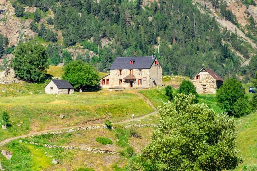
You will pass the simple Cabane d'Anescruses, while the path eases into grassy pastures and forest, crossing streams and old shepherd terraces. Then, you will join a track above the Río Cinqueta walking towards the hut. On the way, enjoy views towards both Barranco del Milá y Barranco de Añés. A final gentle descent will bring you to the Refugio de Viadós, which is set among traditional bordas and meadows. Here, you can enjoy a hot meal and a rest before the next day

Refugio de Viadós

Info
Refugio de Viadós
Refugio de Viadós
Day
5

Refugio de Viadós - Refugio Ángel Orús

Duration: 06:10 h
Distance: 11 km
Ascent: 1130 m
Descent: 750 m

This challenging mountain route takes you from the lush pastures surrounding the Refugio de Viadós to the picturesque location of the Refugio Ángel Orús. Along the way, you will visit high lakes and pass through a panoramic pass between the Posets and Eriste massifs. Expect steep, rocky paths, long ascents and sweeping views of soaring peaks.

The path crosses several barranco streams and climbs steadily through forests and meadows before emerging from the trees and continuing along open slopes beneath the northern buttresses of Posets. Next, a clear mountain trail follows the Barranco de la Ribereta, passing relatively close to the Millares waterfall and some shepherd's huts. The path then steepens, becoming more challenging as it winds its way through flowery meadows and rocky steps towards Forqueta Pass, the highest point of the day at 2,840 metres. From here, it descends to the cirque that holds the beautiful Ibón de Lardaneta lake, situated at an altitude of 2,676 metres.

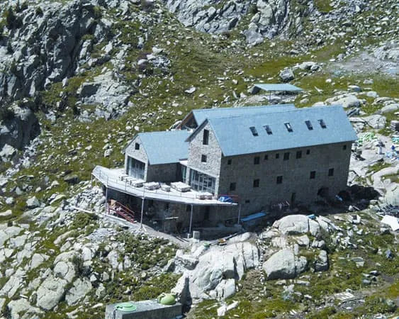
Skirting the lake's shore, the route continues downwards across broken terrain, running parallel to the Torrent de la Ribereta in the namelike valley. After crossing a metal bridge, a rough descent on narrow switchbacks begins. Later, the view opens up and the path becomes gentler, leading directly to the Refugio Ángel Orús via grassy and dwarf pine terraces. Take time to enjoy the terrace and its views of the surrounding peaks.

Refugio Ángel Orús

Info
Refugio Ángel Orús
Refugio Ángel Orús
Day
6

Refugio Ángel Orús - Valle de Estós

Duration: 06:35 h
Distance: 13.7 km
Ascent: 640 m
Descent: 1430 m

Today you have two route options. This route takes you back to the starting point via a high mountain route towards the east, while Option 2 descends directly to Benasque before following the valley back to the original starting point. You can choose the route option you prefer.

From the balcony of Refugio Ángel Orús, you will ascend towards Eriste before descending through a series of lakes into the green Estós valley. On the ascent, you will follow rocky paths, while the descent back towards the valley floor is long and sometimes steep.

From the hut, a clear path climbs and crosses the Aigüeta de Eriste stream via short zigzags. You will soon emerge from the dwarf pines onto open slopes. The route then rises steadily, with a challenging section of about 5.5 km from Torrent de Llardaneta to Ibón de l'Aigüeta de Batisielles. You then reach Ibón de Eriste, with views of the Posets mountain range and the ridges of the surrounding peaks. Beyond this point, the trail undulates across high terrain, passing Ibón de la Plana and Plana Pass, the highest point of the day at 2,680 metres.

You then start descending, passing Ibón Grande de Batisielles on the way to the meadows. A long descent follows, passing Fuente de Coronas and Cabaña de Santa Ana. The final kilometres follow tracks alongside the Río Estós, leading gently down into the valley. The trek ends here, with easy access to Benasque and other villages in the valley. Well done!

Contact our Trekking Expert
Laurens de Roos
Laurens de Roos
Laurens de Roos

Included

  • Full travel guide

    You’ll receive access to our trekking app, which serves as your complete digital travel guide for the Aneto Treks. Inside, you’ll find everything you need for your trek: route descriptions, hiking maps, navigation support, payment information, and all the key details specific to your journey.

  • Accommodation

    During your Aneto Treks, you will spend your nights in mountain huts. We normally book dormitories, but private rooms are available upon request and cost €75 extra per room per night. If no private rooms are available, we will automatically book a bed in a dormitory.

  • Half-board in Huts

    Accommodation at the huts includes dinner and breakfast. We will arrange this for you as well. This allows you to travel lighter and have one less thing to worry about. Bear in mind that lunch is not included, but it can be purchased at the huts. Here you can also buy an array of snacks and bottled water.

  • Breakfast in Hotels

    In the Hotels, we include Breakfast for you. Bear in mind that lunch and dinner are not included, but they can be most of the time purchased in or near the hotels.

  • Navigation support

    Our trekking app also includes built-in navigation support. With GPS-based maps and offline access, you can follow the trail confidently and stay on route even without mobile signal.

Excluded

  • Traveling to and from

    You have to make your own way to the starting point. The total amount does not include personal transport.

  • Transfers

    Should you need any form of (public) transport on location, this is not part of the trekking package. This includes the use of taxi, bus, cable cars, gondolas, ferries, etc.

  • Lunch

    Half-board is included in the price of this trek. Lunch, however, is not. Many huts offer packed lunches, which can usually be requested the night before. Alternatively, you can stop for lunch at mountain huts along the way.

  • Travel Insurance

    Your international travel insurance is your own responsibility. Discuss your itinerary with the insurance company before your trek.

  • Personal expenses

    Personal expenses on such as souvenirs, drinks, and other similar expenses are for your own account.

  • Lunch and Dinner in Hotels

    Lunch and dinner are not included in the hotel stays, but you’ll find restaurants and cafés in the towns where you can enjoy a meal.

FAQ

  • What if the dates I want are not available?

  • If I book now, can I immediately arrange the rest of my trip?

  • How do I know if this trek is right for me?

  • Can meals be adapted to my dietary requirements?

How to Book

  • Booking

  • Availability

  • Cancellation policy