Adventurous Beginner Tour des Pérics

  • Duration
    Total 3 days
    Average 4h
  • Distance
    Total 27.7 km
    Average 9.2 km
  • Ascent
    Total +1110 m
    Average +370 m
  • Descent
    Total -1610 m
    Average -537 m

> Discover the wilder side of the Pyrenees in 3 days
> Hike past alpine lakes, through forests, and across rugged mountain terrain
> Stay overnight in Refuge des Bésines and Refuge d'En Beys

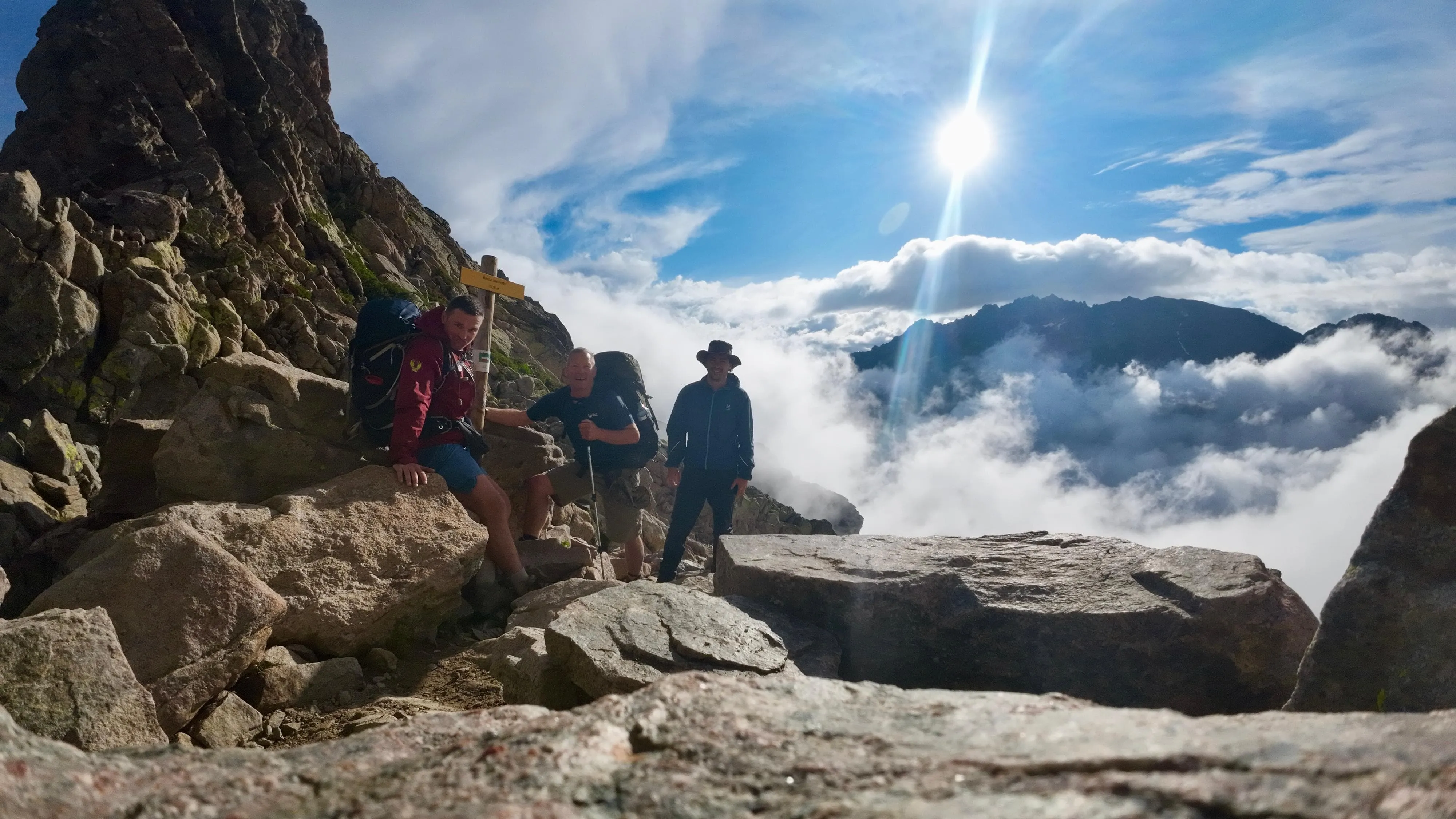
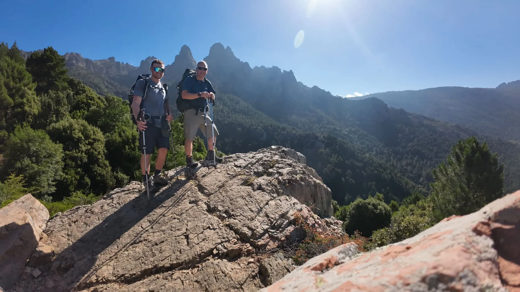
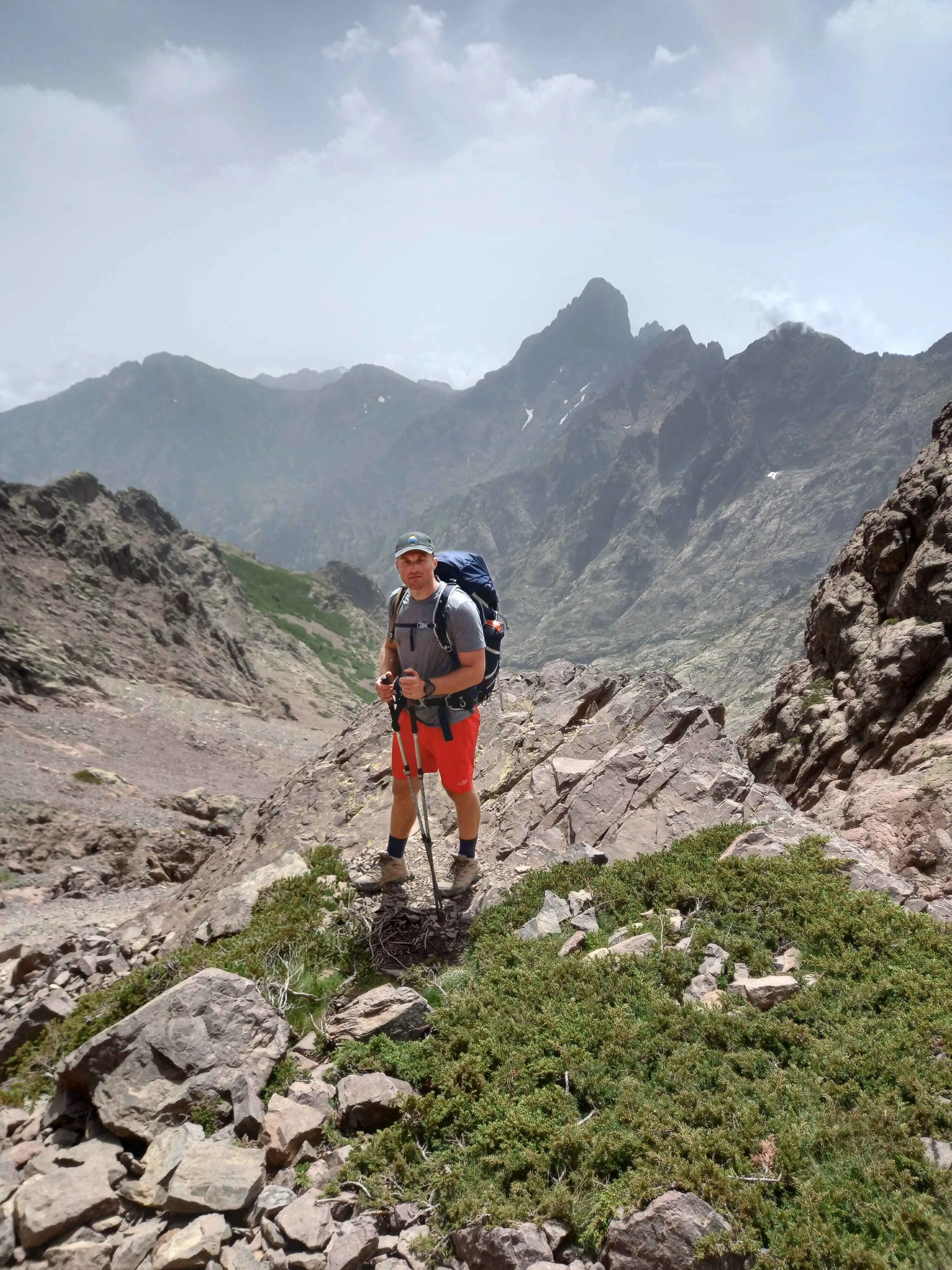
The Beginner Tour des Pérics is a 3-day hut-to-hut trek for adventurous beginners ready to step into more rugged mountain terrain. The route takes you through the wild landscapes of the Ariège region, from peaceful forests and open valleys to rocky trails and sparkling alpine lakes. With manageable distances and two nights in traditional mountain huts, it's a compact introduction to trekking in the Pyrenees.

Don't let the beginner label fool you, though. Day 2 is a particularly challenging mountain stage and requires previous hiking experience, surefootedness, and confidence on rugged terrain. You'll stay overnight at Refuge des Bésines and Refuge d'En Beys, surrounded by proper Pyrenean scenery. Compact in days, but with a proper mountain challenge along the way.

Itinerary

Day
1

L'Hospitalet-près-l'Andorre - Refuge des Bésines

Duration: 03:25 h
Distance: 7.8 km
Ascent: 660 m
Descent: 10 m

This stage starts in L'Hospitalet-près-l'Andorre and climbs steadily towards Refuge des Bésines. The route follows sections of the GR®107, also known as the Camí dels Bons Homes, and the GR®10, with clear white-and-red waymarks for most of the walk. It is a well-marked and generally comfortable trail without major technical difficulties, exposed ridges or extensive boulder fields, but you still gain height into mountain terrain and should keep a steady pace.

From the village, the trail leaves the road and follows tracks and narrower paths into a quieter valley, crossing several mountain streams along the way. Much of the route passes through shaded pine forest, with some rocky steps, occasional boulders and narrow sections on mountain slopes. After rainy springs, vegetation can be lush around the trail, so the path may feel tighter in places. Higher up, the forest thins and the terrain becomes more open.

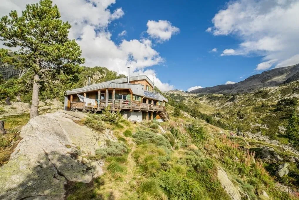
Near the end of the ascent, the route reaches Étang des Bésines, a scenic lake and an ideal resting point before the final climb. From the lakeshore, the trail continues ascending through Jasse du Pla to Refuge des Bésines, where you arrive above the valley with wide views and a clear place to rest after the climb.

Refuge des Bésines

Info
Refuge des Bésines
Refuge des Bésines
Day
2

Refuge des Bésines - Refuge d'En Beys

Duration: 04:10 h
Distance: 8 km
Ascent: 420 m
Descent: 530 m

This is a demanding high-mountain traverse between Refuge des Bésines and Refuge d’En Beys, crossing rough Pyrenean terrain with steep ascents, steep descents and long rocky sections. Much of the route follows the GR®7 across high passes between the Bésines and En Beys valleys. The ground is often covered in scree and large granite boulders, so this stage asks for strong legs, good balance and careful route-finding from start to finish.

From the Bésines basin, the trail crosses uneven slopes with rock slabs, mountain streams and small pools before climbing towards Coma d’Anyell Pass (2,487 m), the highest point of the stage. The ascent follows cairns through rough granite terrain and loose stones. Early in the season, especially after snowy winters, snowfields can remain around the pass and make this section much more demanding.

The descent towards Refuge d’En Beys is the most technical part, especially via Étang Faury. Expect boulder fields, scree and sections where you move carefully from rock to rock. The terrain gradually softens lower down, but remains uneven in places before reaching the lake and Refuge d’En Beys, where you can rest after a serious mountain crossing. Enjoy a peaceful evening by the water and relax!

Refuge d'En Beys

Info
Refuge d'En Beys
Refuge d'En Beys
Day
3

Refuge d'En Beys - Forges d'Orlu Parking

Duration: 04:25 h
Distance: 11.9 km
Ascent: 30 m
Descent: 1070 m

This route descends from Refuge d’En Beys to the Forges d’Orlu parkig area through the Orlu Valley. It is a long, steady downhill rather than a technical mountain stage, following clear paths and later wider forest tracks. The route is suitable for beginners, but the continuous descent of around 1,070 m can be hard on the knees. Walking poles are strongly recommended, especially if you are not used to long downhill sections.

From the refuge, the trail leaves the lake area and follows the valley down alongside L’Oriège torrent. The first part still crosses rougher mountain ground, with rock slabs and uneven sections, but the line is clear. Lower down, the terrain becomes gentler as you enter forest and meadows in the Réserve Nationale d’Orlu. Around Jasse d’en Gaudu, the valley opens into wide green ground surrounded by granite walls, a good area to pause and look for marmots.

Later, the route joins a broader forest track and continues comfortably towards Forges d’Orlu. The final stretch follows the river through the lower valley until the car park comes into view. You finish at the Parking des Forges d’Orlu, with picnic tables, shade and a practical place to arrange onward transport or continue towards nearby accommodation.

Contact our Trekking Expert
Daphne Hendriks
Daphne Hendriks
Daphne Hendriks

Included

  • Full travel guide

    You’ll receive access to our trekking app, which serves as your complete digital travel guide for the Tour des Pérics. Inside, you’ll find everything you need for your trek: route descriptions, hiking maps, navigation support, payment information, and all the key details specific to your journey.

  • Half-board in Huts

    Accommodation at the huts includes dinner and breakfast. We will arrange this for you as well. This allows you to travel lighter and have one less thing to worry about. Bear in mind that lunch is not included, but it can be purchased at the huts. Here you can also buy an array of snacks and bottled water.

  • Accommodation

    During your Tour des Pérics, you will spend your nights in mountain huts. You'll sleep here in dormitories, as the booked mountain huts don't have any private rooms.

  • Navigation support

    Our trekking app also includes built-in navigation support. With GPS-based maps and offline access, you can follow the trail confidently and stay on route even without mobile signal.

Excluded

  • Traveling to and from

    You have to make your own way to the starting point. The total amount does not include personal transport.

  • Transfers

    Should you need any form of (public) transport on location, this is not part of the trekking package. This includes the use of taxi, bus, cable cars, gondolas, ferries, etc.

  • Lunch

    Half-board is included in the price of this trek. Lunch, however, is not. Many huts offer packed lunches, which can usually be requested the night before. Alternatively, you can stop for lunch at mountain huts along the way.

  • Travel Insurance

    Your international travel insurance is your own responsibility. Discuss your itinerary with the insurance company before your trek.

  • Personal expenses

    Personal expenses on such as souvenirs, drinks, and other similar expenses are for your own account.

FAQ

  • Starting Point: L'Hospitalet-près-l'Andorre

  • End Point: Forges d'Orlu Parking

  • What if the dates I want are not available?

  • If I book now, can I immediately arrange the rest of my trip?

  • How do I know if this trek is right for me?

  • Can meals be adapted to my dietary requirements?

How to Book

  • Booking

  • Availability

  • Cancellation policy