Medium Alta Via del Granito - Including accommodation

  • Duration
    Total 6 days
    Average 4 h 45m
  • Distance
    Total 33.8 km
    Average 8.4 km
  • Ascent
    Total +2340 m
    Average +780 m
  • Descent
    Total -2330 m
    Average -583 m

> Spend the night in cozy Italian Rifugios
> Hike a 4-day version of the Alta Via del Granito trek in the Italian Dolomites
> Accommodation before and after the trek is included

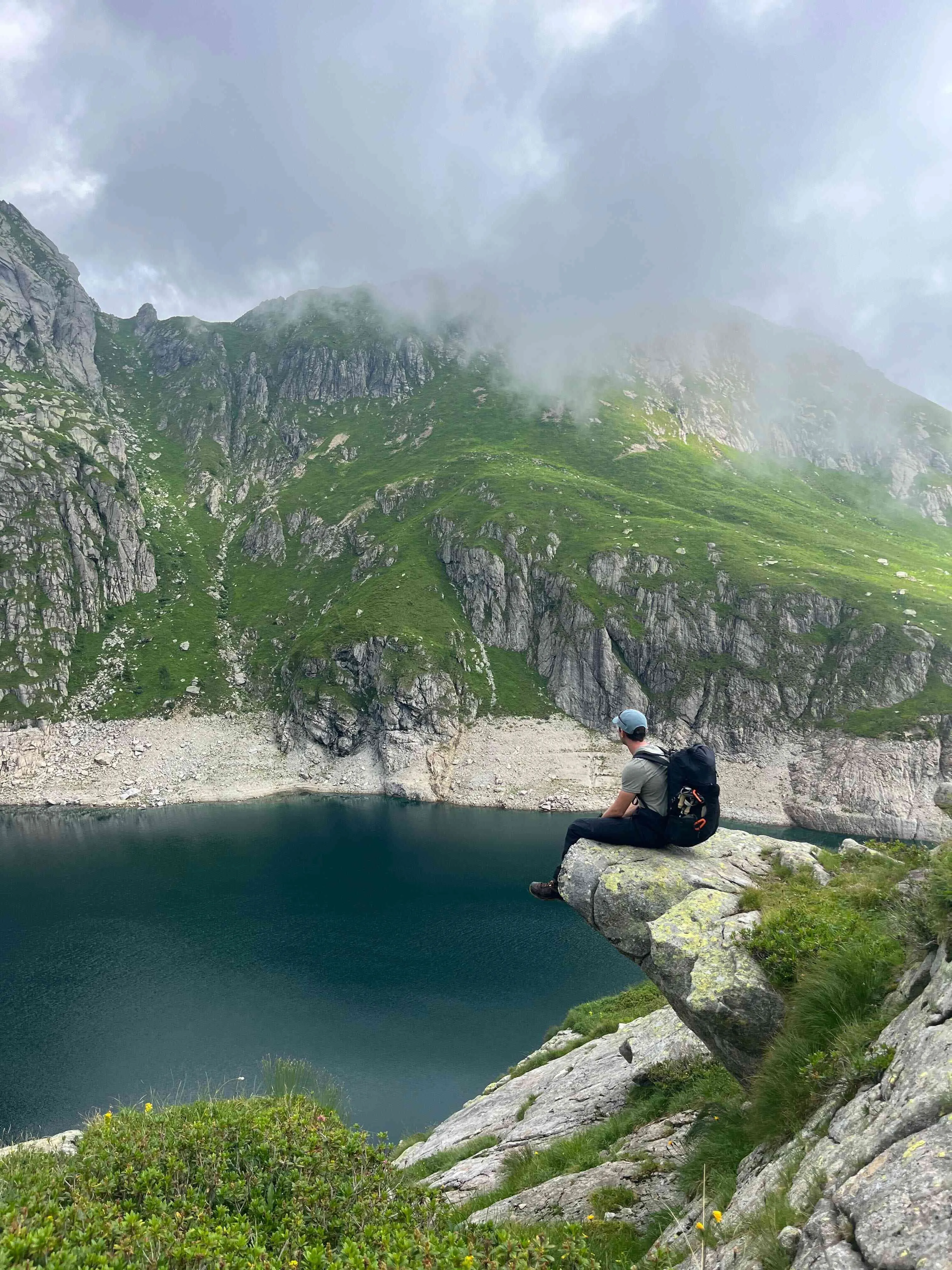
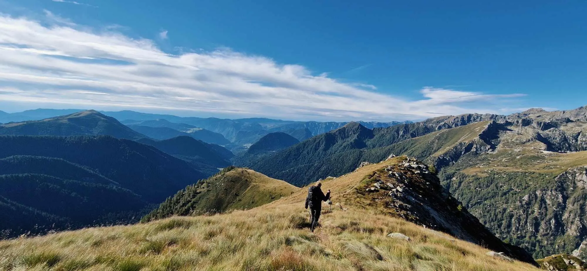
The Alta Via del Granito isn’t just any Alta Via. While "Alta Via" means "high trail" and the Dolomites have plenty of them, this one stands out. You may know Bookatrekking.com favourites Alta Via 1 and 2, but the Alta Via del Granito explores something different: the rugged granite landscapes of the remote Lagorai range. It’s a circular route through the Cima d’Asta – Cime di Rava group, following historic World War I paths and old military roads. A local favourite among Italian hikers, this quiet gem connects the only two huts in the area: the welcoming Rifugios Conseria and Caldenave. We've put together a moderate 4-day version for those who want to take things at a more relaxed pace.

Although the route is classified as T2, it should not be underestimated. The trails are generally well-marked, but they still require solid fitness, as you will encounter exposed sections, loose stones, rough terrain, and large granite boulders directly on the trail. In some steeper rocky sections, you may also need to use your hands for balance or make short, easy scrambles. This is real mountain hiking, so good preparation and surefootedness are essential.

Itinerary

Day
1

Arrival day

Today you have to make your way to the first hotel. The hotel is located in one of the villages close to the starting point of the Alta Via del Granito.

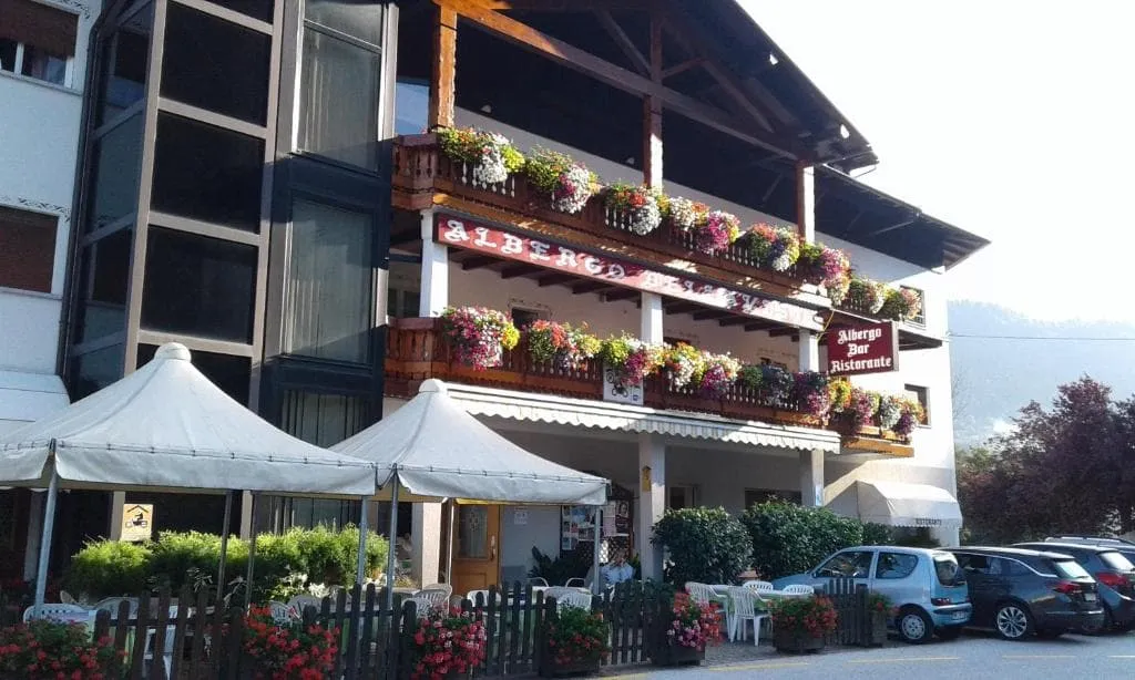
Albergo Ristorante Bellavista (Castello Tesino)

Info
Albergo Ristorante Bellavista (Castello Tesino)
Day
2

Malga Sorgazza - Rifugio Caldenave

Duration: 07:00 h
Distance: 11.4 km
Ascent: 1060 m
Descent: 710 m

The route runs between Malga Sorgazza and Rifugio Caldenave on marked mountain paths. It climbs from forested slopes to open, rocky ground beneath Cima Segura 2269 m and Cima Costa Brunella 2253 m, then crosses a high pass before descending to pastures. Expect sustained ascents and descents on uneven terrain, including short, slightly exposed traverses and sections on stones and boulders. It is appropriate for hikers accustomed to alpine paths and stable footing on rocky ground.

The outing begins on a vehicle track that narrows into a stony trail, rising through roots, natural rock steps and short eroded gullies. Higher up, the forest opens and the path crosses granite slabs and scattered boulders above a small mountain lake. Some traverses are slightly airy but remain on a clear path. The climb continues in zigzags on firm yet irregular ground toward Quarazza Pass and Forcella Tombolin 2340 m, where the landscape becomes more open and rugged.

From the crest the path descends over rocky steps and grassy sections, occasionally weaving through blocks of stone and small patches of loose scree that demand attention but no special equipment. As the gradient decreases, the trail becomes more regular, crossing streams on bridges and entering wider pastures. The final section follows clear paths across the Caldenave basin, leading directly to the buildings of Rifugio Caldenave on a gentle grassy terrace.

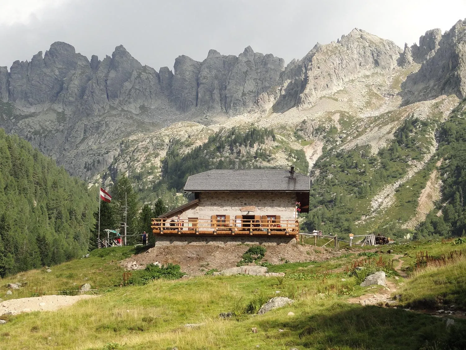
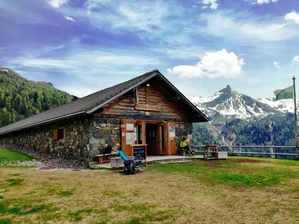
Rifugio Caldenave

Info
Rifugio Caldenave
Rifugio Caldenave
Day
3

Rifugio Caldenave - Rifugio Consèria

Duration: 03:45 h
Distance: 7.3 km
Ascent: 440 m
Descent: 410 m
Descend from Rifugio Caldenave to the plateau, cross the stream and take path 360, which, along the lakes of Val dell'Inferno, climbs to Forcella delle Buse Todesche. From this point continue north on path 373, along the eastern flank of the Cengello and the Cima Lasteati. Your destination for the night is Rifugio Consèria. If, upon arrival, you still have some energy and feel like exploring, you can take a short but beautiful circular hike in the surrounding area, where you’ll find trenches and other signs of World War I.

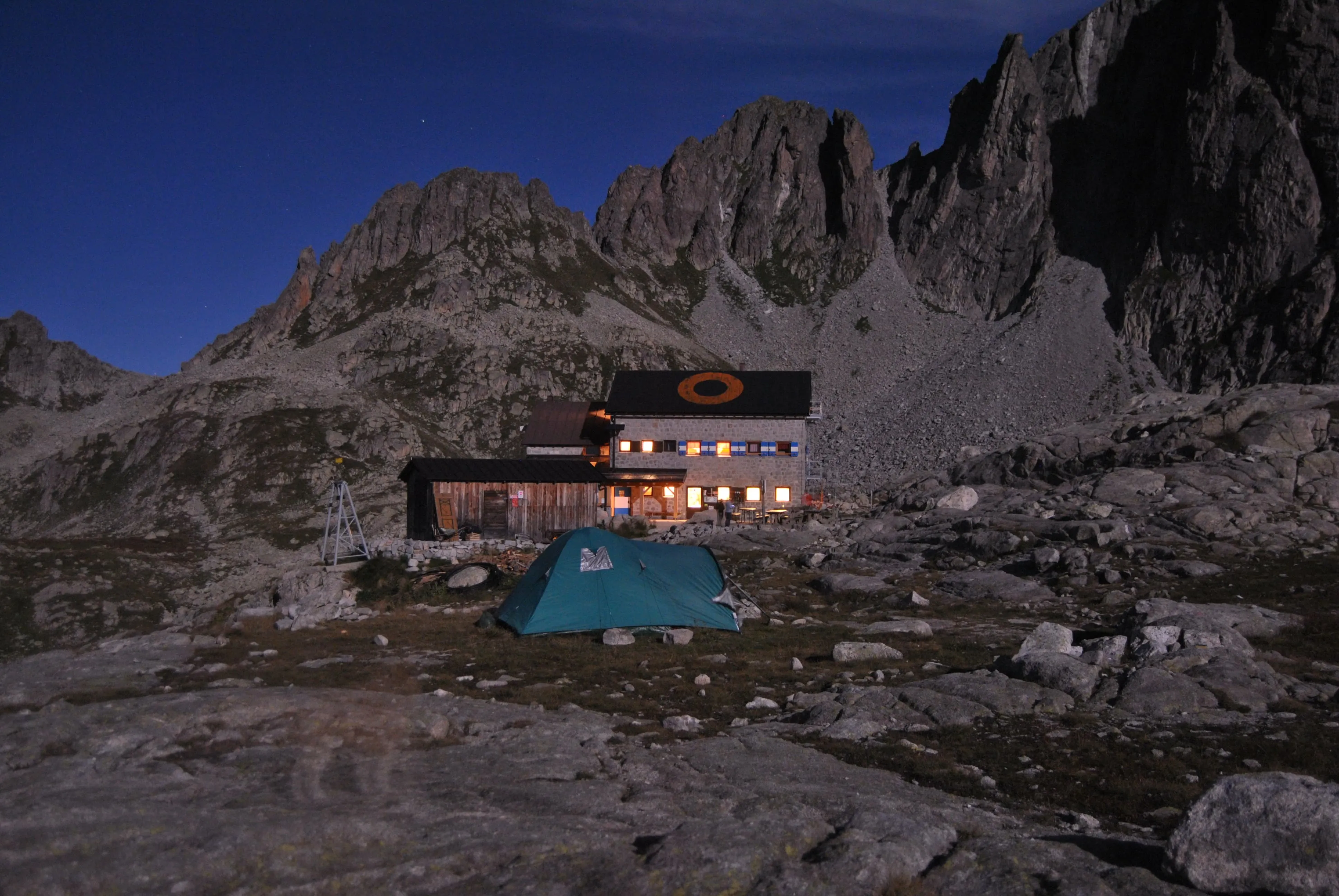
Rifugio Consèria

Info
Rifugio Consèria
Rifugio Consèria
Day
4

Rifugio Consèria - Rifugio Cima d'Asta - O. Brentari

Duration: 04:50 h
Distance: 8.1 km
Ascent: 840 m
Descent: 190 m
This stage leads you to Forcella Magna, an important pass connecting Val Sorgazza to Alta Val Cia. During World War I, this pass was served by a cart road that allowed the Italians to place large artillery emplacements there, and the ruins are still visible today. From Forcella Magna, the trail climbs steeply through rugged granite terrain toward Passo Socede — a demanding ascent that requires physical effort and sure-footedness. After reaching the fork on the right just before the pass, continue along path No. 380, where you’ll encounter more World War I remains in the form of old trench systems. From this point, it takes about 15 minutes to reach Rifugio Cima d'Asta, also known as Ottone Brentari, traversing granite slabs and rocky ground.

Rifugio Cima d'Asta - O. Brentari

Info
Rifugio Cima d'Asta - O. Brentari
Day
5

Rifugio Cima d'Asta - Malga Sorgazza

Duration: 03:25 h
Distance: 7 km
Descent: 1020 m

This is a short but very steep descent from Rifugio Cima d’Asta to Malga Sorgazza. The route loses more than 1,000 m in just over 7 km, so take your time and protect your knees. The continuous downhill slope makes this stage challenging in a different way. Expect rocky paths, mountain slopes, forest tracks and a steady transition from high alpine terrain into the lower valley.

From the refuge, the trail descends below the Cima d’Asta area, passing the Baito del Pastore area. After a zigzagging section, you will reach Sasso della Polsa, which is an ideal place to relax on your way down. The route then continues downwards along rocky trails and forest paths towards the Malga Sorgazza hut and the Bacino di Sorgazza lake. Further down, you will pass the Val Brenta war cemetery, and the terrain will gradually become greener and more sheltered.

The final section continues downhill towards the hut, where the mountain terrain gives way to the valley road and forest surroundings. You arrive after a long, steady descent, with the accommodation area giving you a clear place to rest after leaving the high granite landscape behind.

Albergo Ristorante Bellavista (Castello Tesino)

Info
Albergo Ristorante Bellavista (Castello Tesino)
Day
6

Departure day

The last day has arrived. After a nice breakfast, check out of the hotel and continue the rest of your trip.
Contact our Trekking Expert
Nena Compagne
Nena Compagne
Nena Compagne

Included

  • Booking the huts

    We will take care of arranging accommodation on the Alta Via del Granito for you. We will also provide you with a detailed itinerary for every stage and instructions on how to get to the trailhead.

  • Full travel guide

    You’ll receive access to our trekking app, which serves as your complete digital travel guide for the Alta Via del Granito. Inside, you’ll find everything you need for your trek: route descriptions, hiking maps, navigation support, payment information, and all the key details specific to your journey.

  • Accommodation

    During your Alta Via del Granito, you will spend your nights in mountain huts. We normally book dormitories, but private rooms are available upon request and cost €75 extra per room per night. If no private rooms are available, we will automatically book a bed in a dormitory.

  • Half-board in Huts

    Accommodation at the huts includes dinner and breakfast. We will arrange this for you as well. This allows you to travel lighter and have one less thing to worry about. Bear in mind that lunch is not included, but it can be purchased at the huts. Here you can also buy an array of snacks and bottled water.

  • Accommodation before and after the tour

    Accommodation before and after the trek is included. Breakfast is (if possible) part of your stay.

  • Navigation support

    Our trekking app also includes built-in navigation support. With GPS-based maps and offline access, you can follow the trail confidently and stay on route even without mobile signal.

Excluded

  • Traveling to and from

    You have to make your own way to the starting point. The total amount does not include personal transport.

  • Transfers

    Should you need any form of (public) transport on location, this is not part of the trekking package. This includes the use of taxi, bus, cable cars, gondolas, ferries, etc.

  • Lunch

    Half-board is included in the price of this trek. Lunch, however, is not. Many huts offer packed lunches, which can usually be requested the night before. Alternatively, you can stop for lunch at mountain huts along the way.

  • Travel Insurance

    Your international travel insurance is your own responsibility. Discuss your itinerary with the insurance company before your trek.

  • Personal expenses

    Personal expenses on such as souvenirs, drinks, and other similar expenses are for your own account.

FAQ

  • Is the Alta via Del Granito for Me?

  • What Is the Best Season for the Alta via Del Granito?

  • To the starting point: Malga Sorgazza

  • What if the dates I want are not available?

  • If I book now, can I immediately arrange the rest of my trip?

  • How do I know if this trek is right for me?

  • Can meals be adapted to my dietary requirements?

How to Book

  • Booking

  • Availability

  • Cancellation policy