NEW Aneto Exploration Trek

  • Duration
    Total 3 days
    Average 5h 40min
  • Distance
    Total 41.9 km
    Average 14.0 km
  • Ascent
    Total +2590 m
    Average +863 m
  • Descent
    Total -2380 m
    Average -1190 m

> Ease into the trek with a relaxed first day
> Cross high-alpine T3 terrain to Refugio de Cap de Llauset
> Finish via Vallibierna Pass and descend into the Estós Valley

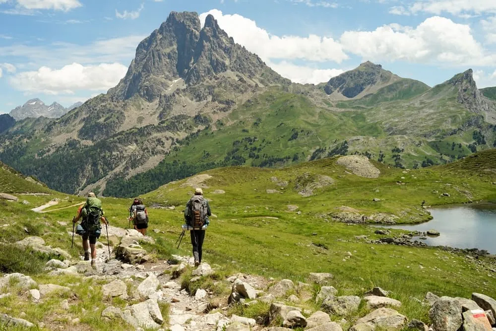
One moment you are warming up above Cerler, the next you are standing among sharp Pyrenean peaks with the trail unfolding beneath your boots. The Aneto Exploration Trek is a compact 3-day adventure that starts gently and quickly shifts into serious mountain country. Day one ends at a hotel in Cerler, with the option to extend the route to the Ardonés Waterfall. A fine little bonus for legs that are already asking for more.

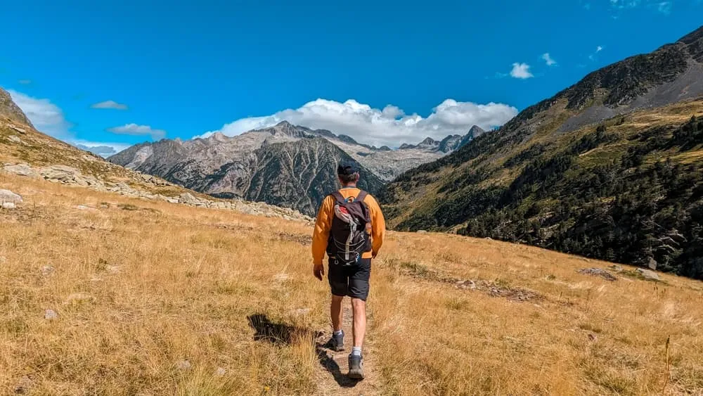
On the second day, the mountains turn up the volume. T3 trails lead through high-alpine terrain to Refugio de Cap de Llauset, where you spend the night deep in the Pyrenees. The final stage crosses Vallibierna Pass before descending towards the Estós Valley. Three days, one proper mountain hut and a route that moves from friendly to formidable. Vamos!

Itinerary

Day
1

Eriste - Cerler

Duration: 02:05 h
Distance: 7.9 km
Ascent: 500 m

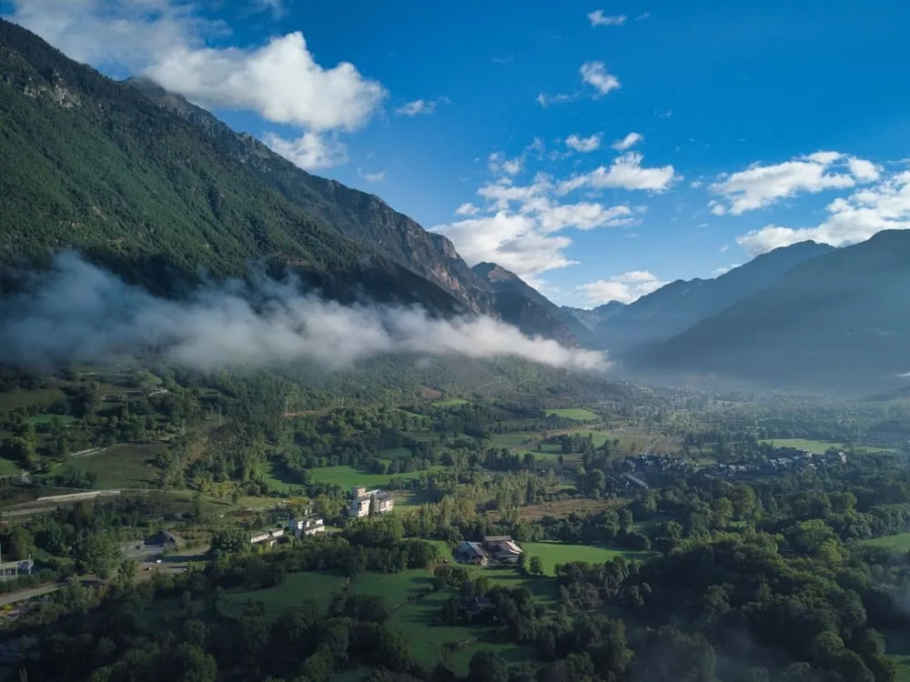
This is a short day to get the legs warmed up, with a steady but manageable climb from Eriste to Cerler. To start the trek, you make your way to Eriste and begin walking from there. The route covers 6.02 km and gains 500 m, so the effort is clear but compact. Most of the height gain comes gradually as you leave the valley and work up towards the village.

From Eriste, the route heads east along the valley side, passing near the tourist information point before continuing towards Anciles. You walk past the streets of Anciles and the Anciles playground, then leave the lower villages behind. The trail climbs through Remáscaro and past a panoramic trekking route section, before reaching the area around Remáscaro Gorge Waterfalls on the final approach to Cerler.

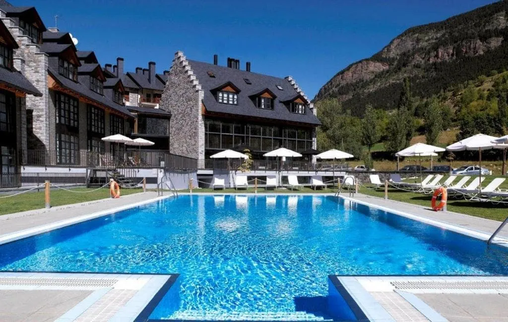
You arrive in Cerler at your hotel, after a short but steady climb from the valley. If you still have energy left after checking in, you can follow route option 2 and do the loop trek to Ardonés Waterfall.

Hotel HG Cerler (Cerler)

Info
Hotel HG Cerler (Cerler)
Day
2

Cerler - Refugio Cap de Llauset

Duration: 08:05 h
Distance: 15.9 km
Ascent: 1690 m
Descent: 860 m

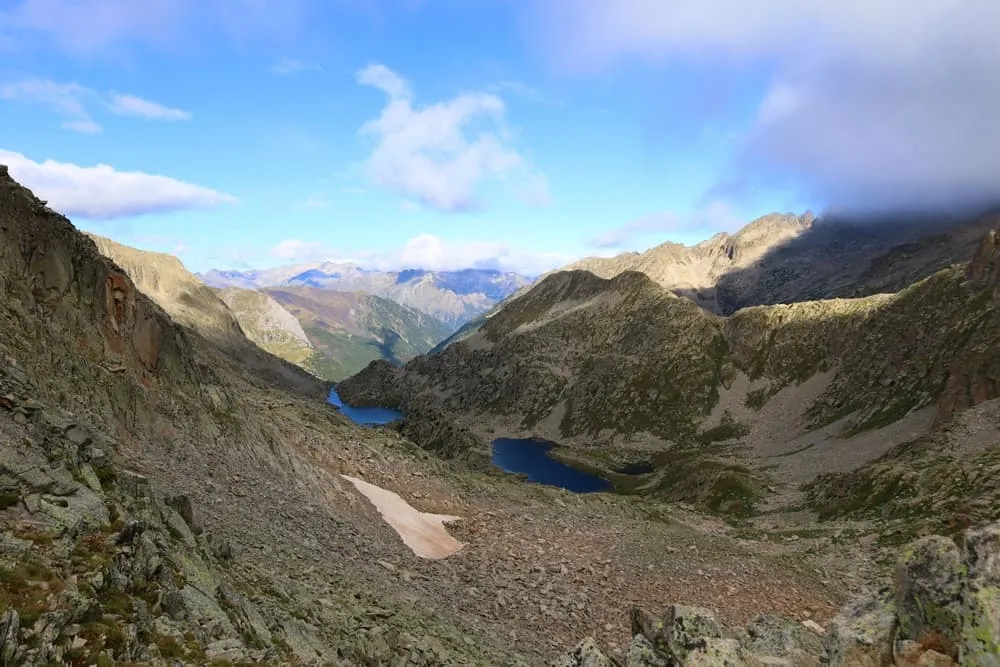
This is a demanding mountain stage with a big climb from Cerler into higher terrain. The ascent is over 1000 m, so pace yourself from the start and keep some energy for the second half. The route begins steadily from the village, then works higher across open slopes before reaching more technical ground. The last 5 km are over T3 terrain, so expect a rougher, more exposed finish where sure-footed walking matters.

From Cerler, the trail climbs east above the valley, passing viewpoints towards Pico Cerler and the Ardonés area. The route continues across the mountainside towards Tuqueta Blanca, then crosses higher ground near Collada de Llauset and Pico Llauset. This middle and final section gives the stage its alpine character, with sustained height, stony paths and several changes in direction as you move towards the lake basin near the hut.

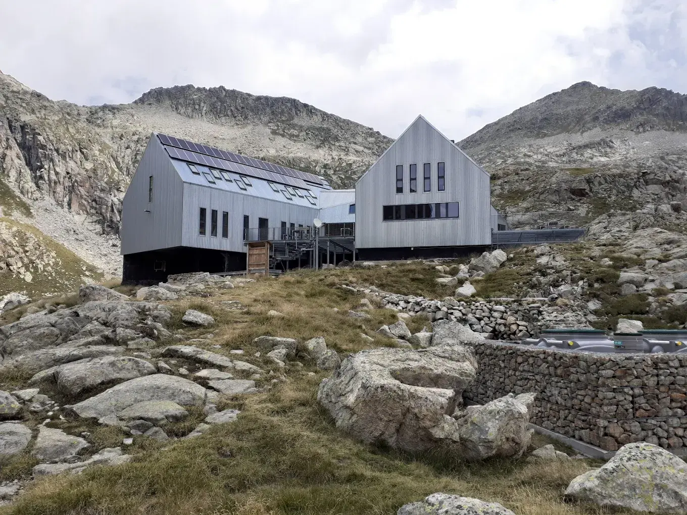
In the final kilometres, the route continues above Ibón de Llauset before the last approach to Refugio Cap de Llauset. You arrive at the hut in a high mountain setting, a good place to rest after the long climb and the technical T3 finish.

Refugio de Cap de Llauset

Info
Refugio de Cap de Llauset
Day
3

Refugio Cap de Llauset - Parking de Estós

Duration: 06:50 h
Distance: 18.1 km
Ascent: 400 m
Descent: 1520 m

This stage leaves the high mountain setting of Refugio Cap de Llauset and works gradually back down towards the Estós valley. Although the climbing is limited, the day is defined by a long descent, so take care with your footing and avoid rushing the steeper sections. The section around Vallibierna Pass is over T3 terrain, adding a more technical start before the route settles into the long descent west.

From the hut, the trail heads past Estany Cap de Llauset and climbs towards Vallibierna Pass before beginning the long descent. You pass Lower Vallibierna Lake and continue into the Vallibierna Valley, with Río de Vallibierna guiding much of the middle section. Further down, the route passes Pleta del Quillón, then keeps descending through narrower valley terrain towards the Estós River and Estós Reservoir.

The final stretch brings you out near the road and down to Parking de Estós. After the long descent from the high mountains, this is a clear and practical finish point for the route.

Contact our Trekking Expert
Laurens de Roos
Laurens de Roos
Laurens de Roos

Included

  • Full travel guide

    You’ll receive access to our trekking app, which serves as your complete digital travel guide for the Aneto Treks. Inside, you’ll find everything you need for your trek: route descriptions, hiking maps, navigation support, payment information, and all the key details specific to your journey.

  • Hotels, Hostels or Huts

    We arrange your accommodation on the Aneto Treks in hotels, hostels, or huts along the way. If your itinerary includes mountain huts, you’ll automatically be booked in dormitory-style beds. Prefer a private room? This is possible for €75 extra per room, per night (subject to availability).

  • Half-board in Huts

    Accommodation at the huts includes dinner and breakfast. We will arrange this for you as well. This allows you to travel lighter and have one less thing to worry about. Bear in mind that lunch is not included, but it can be purchased at the huts. Here you can also buy an array of snacks and bottled water.

  • Breakfast in Hotels

    In the Hotels, we include Breakfast for you. Bear in mind that lunch and dinner are not included, but they can be most of the time purchased in or near the hotels.

  • Navigation support

    Our trekking app also includes built-in navigation support. With GPS-based maps and offline access, you can follow the trail confidently and stay on route even without mobile signal.

Excluded

  • Traveling to and from

    You have to make your own way to the starting point. The total amount does not include personal transport.

  • Transfers

    Should you need any form of (public) transport on location, this is not part of the trekking package. This includes the use of taxi, bus, cable cars, gondolas, ferries, etc.

  • Lunch

    Half-board is included in the price of this trek. Lunch, however, is not. Many huts offer packed lunches, which can usually be requested the night before. Alternatively, you can stop for lunch at mountain huts along the way.

  • Travel Insurance

    Your international travel insurance is your own responsibility. Discuss your itinerary with the insurance company before your trek.

  • Personal expenses

    Personal expenses on such as souvenirs, drinks, and other similar expenses are for your own account.

  • Lunch and Dinner in Hotels

    Lunch and dinner are not included in the hotel stays, but you’ll find restaurants and cafés in the towns where you can enjoy a meal.

FAQ

  • How to Get to the Starting Point

  • How to Get Back After Your Trek

  • What if the dates I want are not available?

  • If I book now, can I immediately arrange the rest of my trip?

  • How do I know if this trek is right for me?

  • Can meals be adapted to my dietary requirements?

How to Book

  • Booking

  • Availability

  • Cancellation policy