Beginner Venediger Höhenweg

  • Duration
    Total 4 days
    Average 4h 21min
  • Distance
    Total 32.7 km
    Average 8.2 km
  • Ascent
    Total +2360 m
    Average +787 m
  • Descent
    Total -2370 m
    Average -593 m

> Hike the Venediger Höhenweg in 4 days
> Step up to T3 trails, scrambling and high alpine passes
> We take care of your hut bookings and logistics

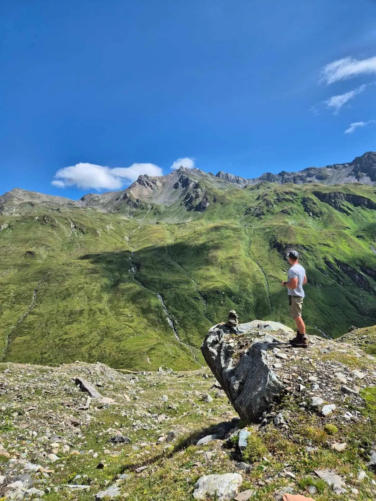
It’s early morning at the Johannishütte. Coffee in hand, boots back on, and the first sunlight hits the mighty Großvenediger across the valley. Yesterday’s kilometers are still in your legs, but today the trail heads higher, towards narrow paths, rugged terrain and the Zopetscharte. Time to find out what those mountain legs are made of.

The Beginner Venediger Höhenweg is a 4-day hut-to-hut hiking adventure in the Alps in the Hohe Tauern National Park for hikers who are ready for their next alpine challenge. Beginner here does not mean easy. You should already feel comfortable hiking for several hours in the mountains and have previous experience on alpine trails. Expect long days, significant ascent and descent, and sections where the terrain demands your full attention.

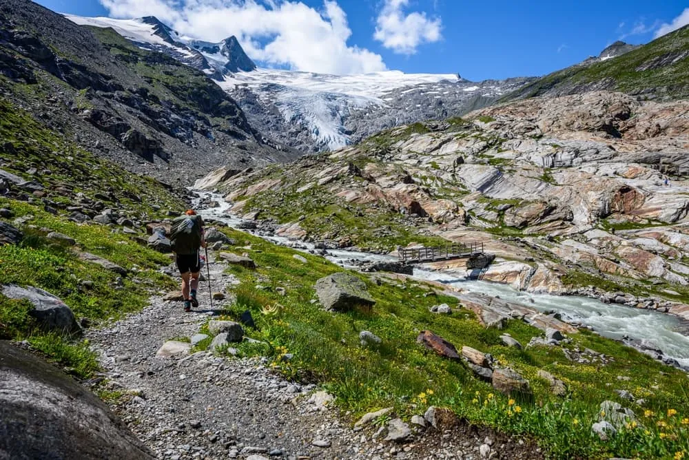
The route takes you from the Essener-Rostocker-Hütte over the Türmljoch to the Johannishütte, before tackling the most adventurous section towards the Eisseehütte. Here, narrow trails, steel cables and some scrambling lead you across the Zopetscharte at 2,958 metres. It is a shorter and more accessible version of the Venediger Höhenweg, but still very much a proper alpine trek. If normal mountain trails are starting to feel a little too comfortable, this is where you turn up the spice.

Itinerary

Day
1

Prägraten - Ströden - Essener-Rosstocker-Hütte

Duration: 04:50 h
Distance: 12.6 km
Ascent: 1000 m
Descent: 90 m

From Prägraten, the route begins gently in the valley before building into a steady climb towards Essener-Rostocker Hut. With 1,000 m of ascent, this is a serious first step into the mountains, even on the beginner version. You should already be used to several hours on alpine trails and a long uphill finish. The route is mostly on paths and mountain hiking paths, with short road and street sections near the start.

The first part follows the valley floor from Prägraten, passing riverside sections along the Isel and the covered bridge before reaching Hinterbichl. If you want a shorter first day, you can start from Hinterer Parkplatz Ströden instead. Beyond the valley, the trail climbs into rougher mountain terrain, passing the material cable car to Clara Hut, a small waterfall and views towards the waterfall on the Isel.

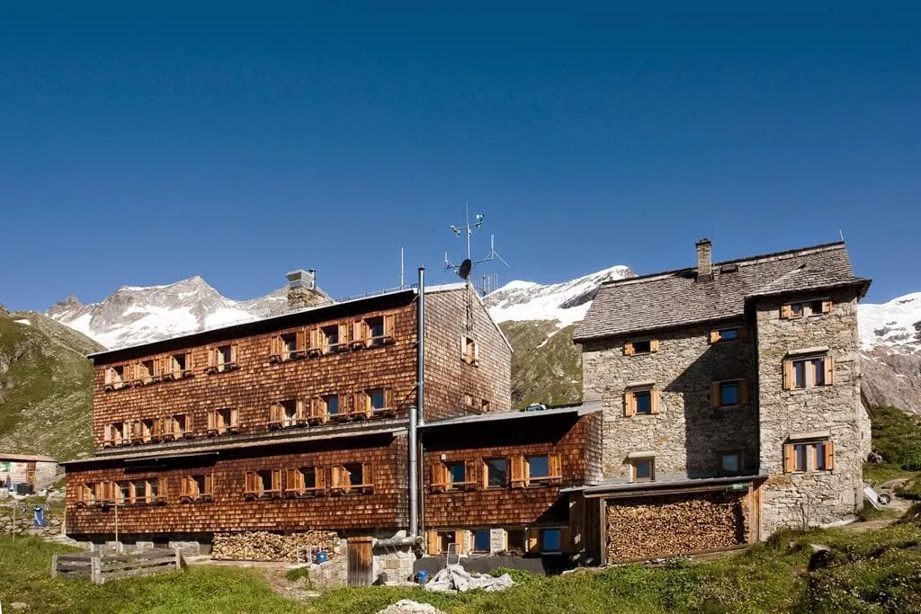
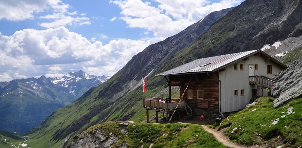
The final approach leads through the Maurertal Valley and past the bridge over the Maurerbach. Essener-Rostocker Hut marks the end of the climb and the real arrival in alpine surroundings. Take your time on this last section, especially if this is your first hut-to-hut trek with more height gain.

Essener-Rostocker-Hütte

Info
Essener-Rostocker-Hütte
Day
2

Essener-Rostocker-Hütte - Johannishütte

Duration: 04:40 h
Distance: 7.7 km
Ascent: 560 m
Descent: 640 m

This section from Essener-Rostocker Hut to Johannishütte is shorter, but still asks for steady legs and attention. The route gains 560 m and loses 640 m, so it is not simply a connecting walk between huts. The main feature is the climb towards the Türmljoch area, where the trail becomes more alpine and the terrain feels higher and more open. This is a good stage for hikers ready for a bit more challenge after the first ascent.

From the hut, the trail heads northwest and begins with a gradual ascent before the zigzagging climb becomes more defined. The route passes the Goldlan Sand area and viewpoints towards the Hohe Tauern before continuing near the Türmljochspitze and the Türmljoch, which is marked at 2,844 m. After the high section, the trail descends towards the Johannishütte, with mountain paths and rougher ground along the way.

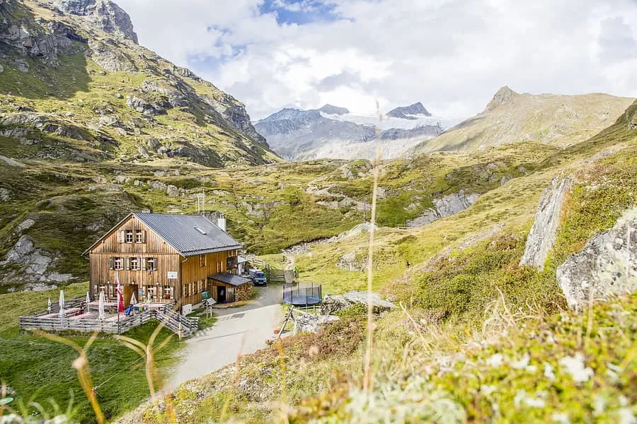
The arrival at Johannishütte comes after the main descent from the Türmljoch area. The hut is well placed for a proper break after the climb and descent, and it gives you time to recover before the more technical terrain that follows on the next section.

Johannishütte

Info
Johannishütte
Johannishütte
Day
3

Johannishütte - Eisseehütte

Duration: 04:20 h
Distance: 5.5 km
Ascent: 800 m
Descent: 430 m

This is the most technical section of the route and should not be underestimated. The distance is short, but the stage includes 800 m of ascent and several technical alpine sections where sure-footedness, a head for heights and previous alpine hiking experience are required. The terrain is rough in places and demands focus, confidence and steady footing.

From Johannishütte, the route climbs steadily towards the Zopetscharte at 2,958 m. The ascent passes below or near the Tulpspitze, marked at 3,054 m, and includes exposed or technical sections where steel cables help you move through the terrain. After the high point, the route descends towards Eisseehütte through similar alpine surroundings. The profile shows a compact but intense crossing rather than a relaxed hut-to-hut walk.

Eisseehütte is the right place to slow down after this demanding section. Once you arrive, take time to rest and check how much energy you still have. A further walk towards the Eissee is only worth considering if conditions are good and you still feel strong.

Eisseehütte

Info
Eisseehütte
Eisseehütte
Day
4

Eisseehütte - Prägraten

Duration: 03:35 h
Distance: 6.94 km
Descent: 1210 m

The final section returns from Eisseehütte to Prägraten with a long descent of 1,220 m. There is no ascent on the profile, but the continuous downhill still asks a lot from your knees and concentration. A technical or hazardous section is indicated near the start, so the route should still be treated as alpine terrain. After that, the trail gradually becomes more straightforward as it drops towards the valley.

The route leaves the high mountain setting around Eisseehütte and descends past viewpoints, mountain streams and open alpine terrain. You pass the bridge over the Timmelbach and continue down towards Prägraten, with sections on mountain hiking paths, hiking paths, paths, street and short road sections. The landscape changes clearly as you lose height, moving from exposed alpine surroundings back towards meadows and the valley floor.

The arrival in Prägraten completes the circuit and brings you back to where the trek began. Expect tired legs after the long descent, even though the route trends downhill all the way. Once in the village, the alpine part is behind you and the route finishes in a much gentler valley setting.

Contact our Trekking Expert
Naida Bonnema
Naida Bonnema
Naida Bonnema

Included

  • Accommodation

    During your Venediger Höhenweg, you will stay overnight in comfortable accommodations. You'll sleep in private rooms, ensuring a good night's rest after each day on the trail.

  • Full travel guide

    You’ll receive access to our trekking app, which serves as your complete digital travel guide for the Venediger Höhenweg. Inside, you’ll find everything you need for your trek: route descriptions, hiking maps, navigation support, payment information, and all the key details specific to your journey.

  • Accommodation

    During the trek, you’ll stay overnight in mountain huts. Accommodation is booked in dormitories (Lager) by default. Some huts offer private rooms (€50 per room, per night) or Mehrbettzimmer / small shared rooms (€12.50 per person, per night), subject to limited availability. If you’d like an upgrade, you can leave a comment while booking or email us immediately after booking. If a private room isn’t available, your booking will be placed in a Mehrbettzimmer or dormitory instead.

  • Half board in huts (where possible)

    Accommodation in the huts includes dinner and breakfast, unless otherwise indicated in the exclusive list. This allows you to travel lighter and not have to worry about an extra meal. Please note, however, that lunch is not included, but can be purchased at the huts. Beverages may also be charged separately at some huts.

  • Navigation support

    Our trekking app also includes built-in navigation support. With GPS-based maps and offline access, you can follow the trail confidently and stay on route even without mobile signal.

Excluded

  • Traveling to and from

    You have to make your own way to the starting point. The total amount does not include personal transport.

  • Transfers

    Should you need any form of (public) transport on location, this is not part of the trekking package. This includes the use of taxi, bus, cable cars, gondolas, ferries, etc.

  • Lunch

    Half-board is included in the price of this trek. Lunch, however, is not. Many huts offer packed lunches, which can usually be requested the night before. Alternatively, you can stop for lunch at mountain huts along the way.

  • Travel Insurance

    Your international travel insurance is your own responsibility. Discuss your itinerary with the insurance company before your trek.

  • Personal expenses

    Personal expenses on such as souvenirs, drinks, and other similar expenses are for your own account.

FAQ

  • Is the Venediger High Trail Suitable for Me?

  • What Is the Best Season for the Venediger Höhenweg?

  • How to Get to the Starting Point of the Venediger Höhenweg

  • What if the dates I want are not available?

  • If I book now, can I immediately arrange the rest of my trip?

  • How do I know if this trek is right for me?

  • Can meals be adapted to my dietary requirements?

How to Book

  • Booking

  • Availability

  • Cancellation policy

Packing List for the Venediger Höhenweg

  • Information

  • Essentials

  • Extras