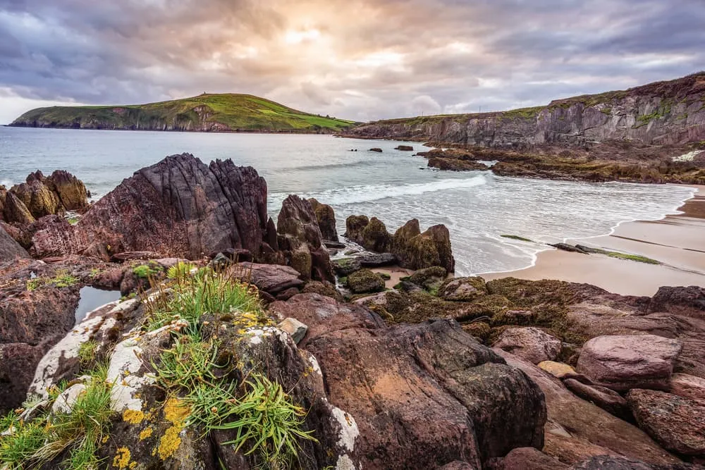
Best of Dingle Way

  • Duration
    Total 11 days
    Average 3h 35min
  • Distance
    Total 117.6 km
    Average 13.1 km
  • Ascent
    Total +1760 m
    Average +196 m
  • Descent
    Total -1788 m
    Average -199 m

> Walk the most beautiful sections of the Dingle Way at a relaxed pace
> Stay in welcoming B&Bs, guesthouses, and local hotels
> Discover wild coastlines, sandy beaches, and traditional Irish villages

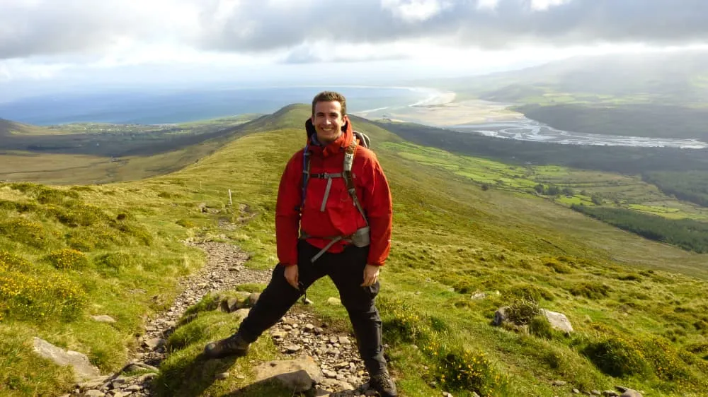
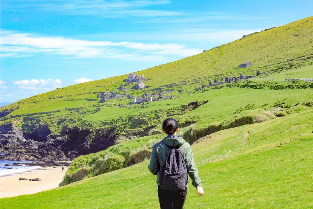
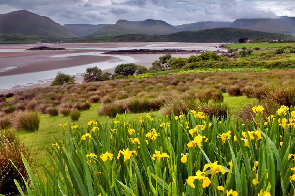
The Best of the Dingle Way is an 11-day walking holiday that showcases the highlights of one of Ireland’s most beloved long-distance trails. Set on the spectacular Dingle Peninsula in County Kerry, this route combines dramatic coastal scenery, rolling green hills, and centuries of Irish history. From windswept cliffs and golden beaches to colorful villages and ancient stone ruins, every day offers a different side of Ireland’s Wild Atlantic Way.

This relaxed 9-day itinerary breaks the trail into comfortable stages, giving you plenty of time to enjoy the landscapes, stop for a pint in a local pub, and soak up the unique atmosphere of the peninsula. Along the way, you'll stay in carefully selected B&Bs, guesthouses, and hotels, where warm Irish hospitality is never far away. A perfect choice for walkers who want to experience the best of the Dingle Way without rushing.

Itinerary

Day
1

Arrival in Tralee

Today you will have to make your way to Tralee. In Tralee, you will spend the night at a hotel preparing for your Dingle Way adventure.
Grand Hotel (Tralee)
Day
2

Tralee - Camp

Duration: 05:20 h
Distance: 19.4 km
Ascent: 350 m
Descent: 290 m

From the streets of Tralee, the route quickly swaps town life for estuary views, quiet lanes and the first real feel of the Dingle Peninsula. You begin beside the water at Blennerville, then follow a wonderfully varied line west with Tralee Bay on one side and low green hills on the other. It is a gentle opening day, but one that already feels full of sea air, wide skies and that lovely sense of heading somewhere far beyond the map.

From the edge of town, the path leads towards Blennerville and then out along peaceful roads and tracks beside the bay. Soon the landscape opens, with long coastal views and birds moving over the mudflats and shoreline. Further on, the route passes places like Tonevane Glen and climbs lightly onto the slopes near Baurtregaum, where the views widen across the water and back along the coast. Old ruins near Killelton and the stretch by Derrymore Beach add a little history and a lot of atmosphere.

As the trail bends inland again, the day softens into quiet country lanes and open views towards Camp. Railway Lodge appears in a calm setting, a handy and welcoming place to stop after your first taste of the peninsula. Once you arrive, you can shake off your boots, breathe in the salty air and watch the evening settle over the bay and the low hills around you.

Railway Lodge (Camp)
Day
3

Camp - Castlegregory (Shorter route)

Duration: 04:30 h
Distance: 17.4 km
Ascent: 50 m
Descent: 110 m

Starting in Camp, this long coastal stage feels like a day made for sea air and open horizons. The route follows the edge of Tralee Bay westwards, with beaches, dunes and tidal flats setting the mood from the first steps. It is gentler underfoot than the hillier days to come, but the landscape has a quiet drama of its own. By the time you reach Castlegregory, the peninsula already feels wilder and wider.

From Camp, the trail heads west beside the bay, passing Kilgobbin Church and the ruins of Killelton Church before continuing along quiet roads and tracks near the shoreline. Soon the views widen across Tralee Bay towards Fenit, while sandy stretches and grassy margins bring a real coastal feel. The route then reaches the broad neck of Inch, where sea and estuary seem to meet, before turning gently towards the village with open views over Brandon Bay and the low surrounding hills.

The final approach into Castlegregory feels calm and easy, with the road and shoreline guiding you in. Harbour House B&B sits in a handy village setting, a comfortable place to rest after a breezy day by the water. Once you arrive, you can kick off your boots, settle in and enjoy the slow evening light over the bay and the dunes.

Harbour House B&B (Castlegregory)
Day
4

Castlegregory - Cappateige

Duration: 02:50 h
Distance: 11 km
Ascent: 20 m
Descent: 10 m

Setting off from Castlegregory, this stage feels like a pure coastal drift along the edge of Brandon Bay. The route is gentle and low, with sea on one side, dunes and wide strands on the other, and that lovely feeling of walking between sky and water. It is a shorter day, but one packed with beach light, salty air and the long, open views that make this part of the peninsula so memorable.

The trail heads out past the long sands near Fermoyle Strand and soon follows the sweeping curve of Inch Beach, one of the great coastal highlights of the route. Waves roll in from Brandon Bay while the mountains of the Dingle Peninsula rise in the distance. The walking stays easy and mostly flat, letting the views do the work. Further on, the path passes Lough Napearka and continues north along the narrow spit, with sea and estuary light shifting all around you.

Near the end, the route leaves the broad beachscape and eases towards the quieter edge of the bay. The Shores Country House appears in a peaceful coastal setting, a fine place to slow things down after a day of sea air and open horizons. Once you arrive, you can kick off your boots and watch the evening light soften over the water.

The Shores Country House (Cappateige)
Day
5

Cappateige - Brandon

Duration: 03:45 h
Distance: 14 km
Ascent: 150 m
Descent: 180 m

Skirting the quiet shores near Brandon Bay, this stage leads you towards one of the most atmospheric corners of the peninsula. The sea remains close while dunes and tidal flats shape the landscape, with Mount Brandon slowly rising ahead. It feels gentle at first, yet the sense of wildness builds as you approach the village.

The route begins beside Fermoyle Strand, following easy coastal tracks and quiet roads with wide views across the bay. Soon, the long curve of the beach and the shifting light on the water steal the show. Further on, the path turns inland briefly through open fields and low country lanes before bending back towards the coast. Near the approach to Brandon, the outline of Mount Brandon grows stronger, and old stone features such as the Celtic standing stones add a special sense of place.

As you near the end, the trail drops gently towards the clustered houses and shore of Brandon village. The harbour, the beach and the broad bay make a fine setting for the night, with sea air all around and the hills rising quietly behind. The Cé Hideout feels like a warm and characterful stop, a lovely place to settle in and watch the evening light fade over Brandon Bay.

The Cé Hideout (Brandon)
Day
6

Brandon - Ballydavid

Duration: 04:35 h
Distance: 14 km
Ascent: 670 m
Descent: 650 m

Climbing away from Brandon, this stage rises from the bay into the open shoulder of Mount Brandon. The sea stays close for a while, with Brandon Bay shimmering below, before the route turns fully into mountain country. As you gain height, the peninsula opens around you, with big Atlantic views on one side and green inland folds on the other. It is a compact stage, but it feels wild, airy and very much like the real Dingle.

From the village, the path rises steadily on quiet lanes and grassy tracks, passing old fields and stone remains near the lower slopes. Soon the climb steepens towards the high ground below Mount Brandon, with widening views over Brandon Bay and the surrounding coast. Near the top, around the shoulder below Cnoc Bréanainn (895 m), the trail reaches its best balcony views. From there, the route swings west and begins a long descent, crossing open hillside before dropping towards the quieter valley around Ballydavid.

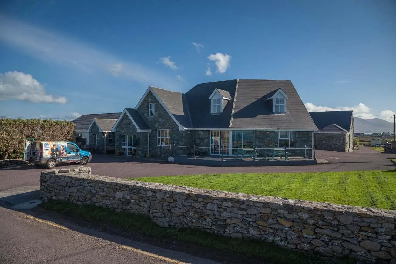
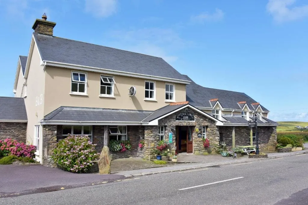
Lower down, the mountain feel softens and the path settles into rural lanes with scattered farms and glimpses of the sea returning. Ballydavid appears gradually, tucked into a calm corner of the peninsula. An Bothar Pub is a fine place to arrive, with a warm atmosphere after a day spent between mountain and coast. Time to drop your pack, order something good and let the evening roll in from the Atlantic.

An Bothar Pub (Ballydavid)
Day
7

Ballydavid - An Bhualtin

Duration: 04:00 h
Distance: 15.3 km
Ascent: 90 m
Descent: 90 m

Moving on from Ballydavid, this stage feels like a gentle Atlantic ramble along the western edge of the peninsula. The sea is never far away, with low cliffs, small coves and broad views towards Smerwick Harbour setting the tone. It is a softer day underfoot, but one full of character, with old churches, beaches and headland views giving the route that unmistakable west Kerry magic.

The trail first heads out towards the coast near Baile na nGall, where wide views open over the Atlantic and the rugged shoreline below. From there, the route curves back through quiet lanes and past Murreagh Beach, with the sea glinting beside you. Further on, you pass Gallarus Oratory and the ruins of Kilmalkedar Church, two of the great historic highlights of the peninsula. The walking stays easy and rolling, with open fields, stone walls and constant glimpses of the water.

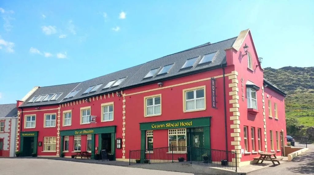
As you approach An Bhualtin, the landscape settles into a calm patchwork of farmland and coast. The final stretch feels relaxed, with Smerwick Harbour and the low hills around Mount Eagle framing the scene. Hotel Ceann Sibeal appears in a peaceful village setting, a fine place to end the day. Once you arrive, you can ease off your boots and watch the evening light fade over the bay.

Hotel Ceann Sibeal (An Bhualtin)
Day
8

An Bhualtin - Dunquin

Duration: 03:15 h
Distance: 12 km
Ascent: 160 m
Descent: 158 m

Leaving An Bhualtin, the route heads west across the outer edge of the peninsula, where the Atlantic is never far away. It is a gentler day on paper, but full of character, with coastal bends, old monastic traces and widening sea views. As you move closer to Dunquin, the land starts to feel more dramatic, with cliffs, headlands and island silhouettes giving the stage that unmistakable far-west Ireland mood.

From the hotel, quiet lanes and easy tracks lead you through open fields towards the coast near Smerwick Harbour. Soon the route bends south-west, passing close to Reask and then on towards Clogher Strand, where the Atlantic opens wide and the coastline grows wilder. Low rises bring lovely views over Ceann Trá and the surrounding hills. Near the final section, the path approaches the famous viewpoints above the Blasket Islands and the Three Sisters, with Dunmore Head close by.

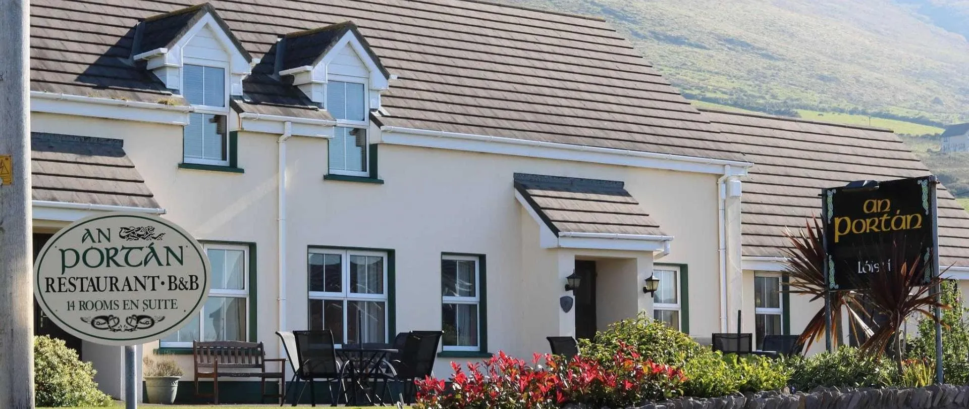
The last stretch drops gently towards Dunquin, where white houses and narrow roads sit between green fields and the sea. An Portán Guest House is a lovely place to land after a stage full of salt हवा and westward views. Once you arrive, you can settle in, breathe out and watch the evening light fade over the Blasket Islands and the edge of the Atlantic.

An Portán Guest House (Dunquin)
Day
9

Dunquin - Ventry (Shortcut)

Duration: 02:00 h
Distance: 7 km
Ascent: 170 m
Descent: 150 m

This inland shortcut offers a quieter and shorter way towards Ventry, trading the dramatic coastal cliffs for green lanes, open fields and old sacred places. Even so, the Atlantic never feels far away, with occasional glimpses of the Blasket Islands and the broad shoulder of the Dingle Peninsula around you. It is a gentler day, one that feels almost like a long exhale before the final stretch of the route.

From the guesthouse, the trail climbs steadily out of Dunquin on quiet country roads and farm tracks, with broad views back towards the coast and the islands. Around the high point, the route crosses rolling farmland and open moor-like ground, where stone walls and grassy lanes give the walk a peaceful rhythm. It then bends east and begins an easy descent through a softer landscape, passing close to the monastic ruins of Cill Choluim before continuing towards Ventry.

As you approach the end, the terrain flattens and the route slips into a calm patchwork of fields and scattered houses near the bay. The Plough B&B appears in a relaxed village setting, a comfortable place to land after a shorter day on the peninsula. Once you arrive, you can settle in, enjoy the slower pace and watch the evening light drift over Ventry Bay.

The Plough B&B (Ventry)
Day
10

Ventry - Dingle - Travel to Tralee

Duration: 02:00 h
Distance: 7.5 km
Ascent: 100 m
Descent: 150 m

Leaving Ventry behind, this final stage feels like a gentle glide back towards civilisation. The route follows quiet roads and easy tracks above the bay, with broad views over Ventry Beach and the calm curve of the coast. It is a softer ending than the wilder days before, but there is still that lovely Dingle atmosphere of sea air, open fields and low hills rolling down towards the harbour town ahead.

From The Plough B&B, the trail climbs lightly above Ventry, offering one last look back across the bay and the slopes beyond. Soon, the route bends east on peaceful lanes through farmland and scattered houses, with glimpses of the sea returning between hedges and fields. As you draw closer to Dingle, the road settles into an easy rhythm, and the harbour, fishing boats and colourful streets begin to pull you in. It is an uncomplicated final walk, perfect for soaking up the last miles.

At the end of the route, you arrive at Dingle Harbour Lodge, right in the heart of town and close to the waterfront. From here, you will need to take a bus back to Tralee, as your accommodation for tonight is booked there. It is a practical final step after finishing the walk. Once everything is sorted, you can celebrate properly with a drink and look back on the peninsula one last time.

Grand Hotel (Tralee)
Day
11

Departure

After breakfast, our services and your Dingle Way adventure will be over. Have a safe trip back home!
Contact our Trekking Expert
Justa Atema
Justa Atema
Justa Atema

Included

  • Accommodation

    We will arrange your accommodation on the Dingle Way in hotels, inns, and guesthouses. Accommodation will be private in single, double or twin rooms and with en-suite bathroom where possible.

  • Full travel guide

    You’ll receive access to our trekking app, which serves as your complete digital travel guide for the Dingle Way. Inside, you’ll find everything you need for your trek: route descriptions, hiking maps, navigation support, payment information, and all the key details specific to your journey.

  • Baggage Transfer

    This trek includes the transfer of your luggage throughout the entire Dingle Way trek. Your bags will be picked up every morning from the hotel lobby and will be driven to your next next accommodation. Baggage transfers allow you to travel lighter during the day and enjoy the walk in a more relaxed manner.

  • Breakfast

    Breakfast is, if possible, included in this trek and it will be provided every morning at your accommodation.

  • Accommodation before and after the tour

    Accommodation before and after the trek is included. Breakfast is, if possible, part of your stay.

  • Navigation support

    Our trekking app also includes built-in navigation support. With GPS-based maps and offline access, you can follow the trail confidently and stay on route even without mobile signal.

Excluded

  • Traveling to and from

    You have to make your own way to the starting point. The total amount does not include personal transport. This also applies to any transport from the end point of your trail.

  • Transfers

    If you require any form of public or local transport during the trek, it is not included in the package unless stated otherwise. This applies to taxis, buses, cable cars, gondolas, and similar services.

  • Travel Insurance

    Your international travel insurance is your own responsibility. Discuss your itinerary with the insurance company before your trek.

  • Lunch and Dinner

    Breakfast is, if possible, included in the price of the trek. You can get lunch and dinner at the shops, hotels, and restaurants along the way.

FAQ

  • Best Season to Walk the Dingle Way

  • How to get to the Starting Point of the Dingle Way?

  • How to get Back from the End Point of the Trek?

  • What if the dates I want are not available?

  • If I book now, can I immediately arrange the rest of my trip?

  • How do I know if this trek is right for me?

  • Can meals be adapted to my dietary requirements?

How to Book

  • Booking

  • Availability

  • Cancellation policy